Maine notebook · the complete album

a weekend in

PORTLAND

From Granby to the Maine coast on Route 302 through the White Mountains, and home on Route 1 by way of Paris — the whole weekend, in the order we lived it.

PORTLAND HEAD 1791

Portland Head Light

built in 1791 · the oldest lighthouse in Maine

The route

Granby → Portland → Granby

One weekend · the Maine coast

The car

Rivian R1S

Out through the White Mountains, home along the coast

CANADA USA GRANBY Bethlehem Route 113 Old Orchard Beach Cape Elizabeth PORTLAND Yarmouth Freeport Paris

The line

302
113
1

it all leads
to the sea

302 113

Granby → 302 through the White Mountains,
home on Route 1 via Paris.

we load the boot, a coffee, and off we go! heading south

Reading the map

  • a stop along the way
  • the way out, to the coast
  • the way home, inland
  • the Atlantic
The Rivian R1S heading south
km 0 · Granby heading south →
01

A weekend in Portland

Granby → Maine on Route 302
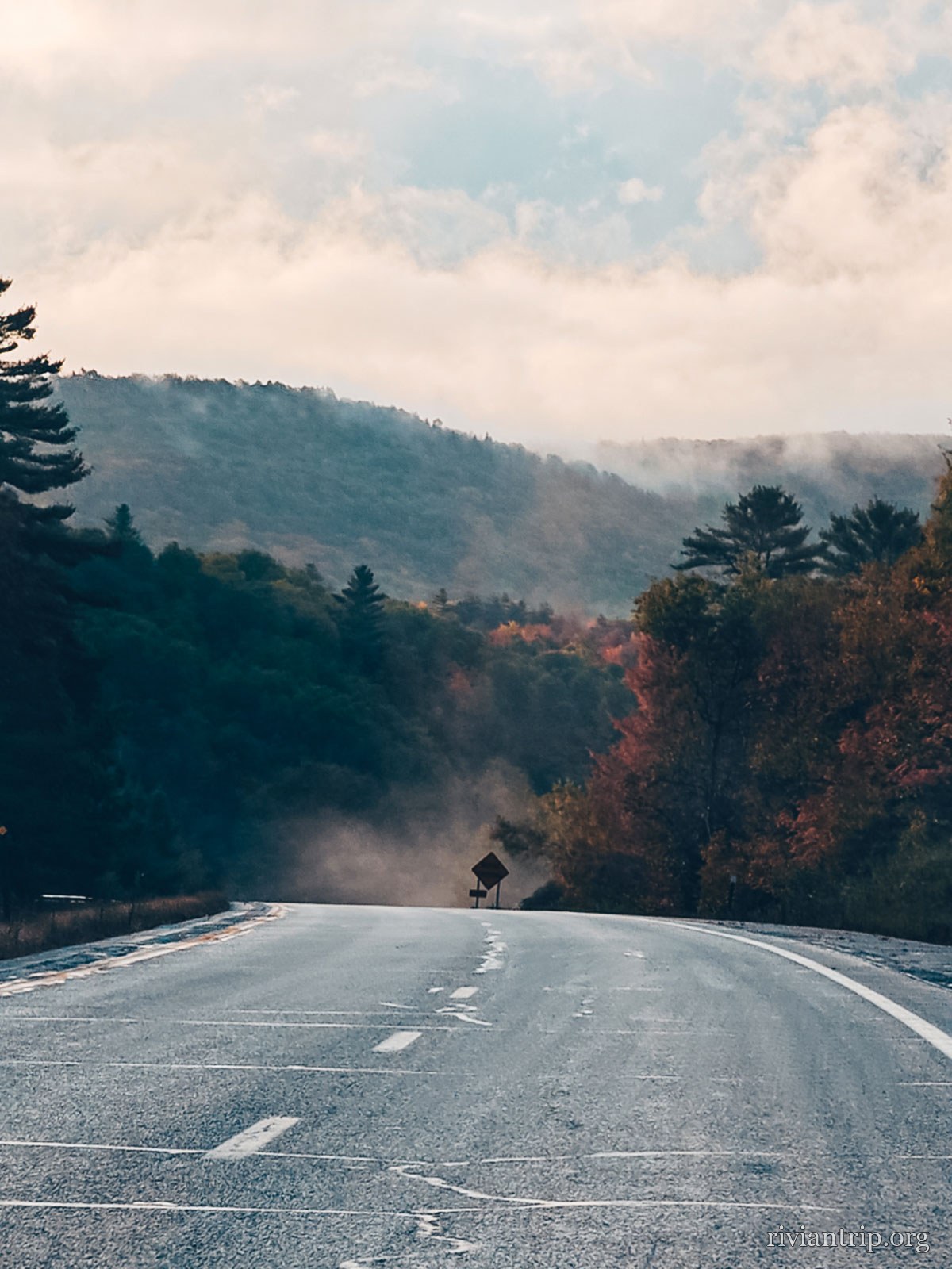
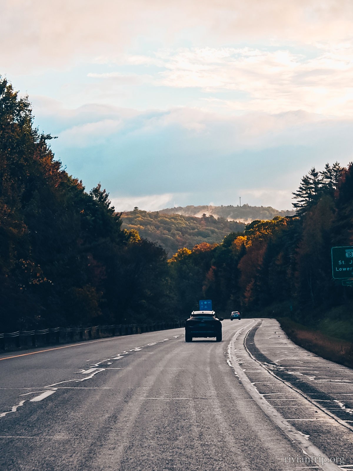
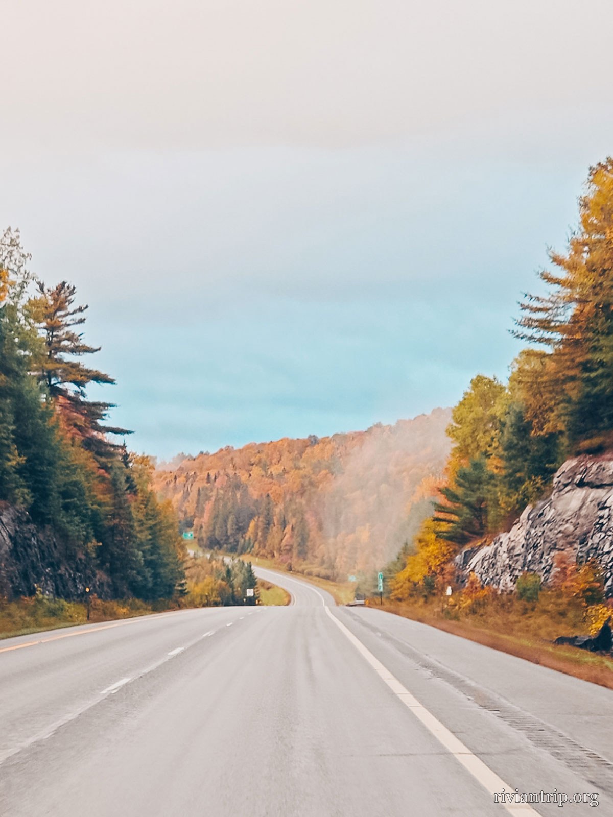
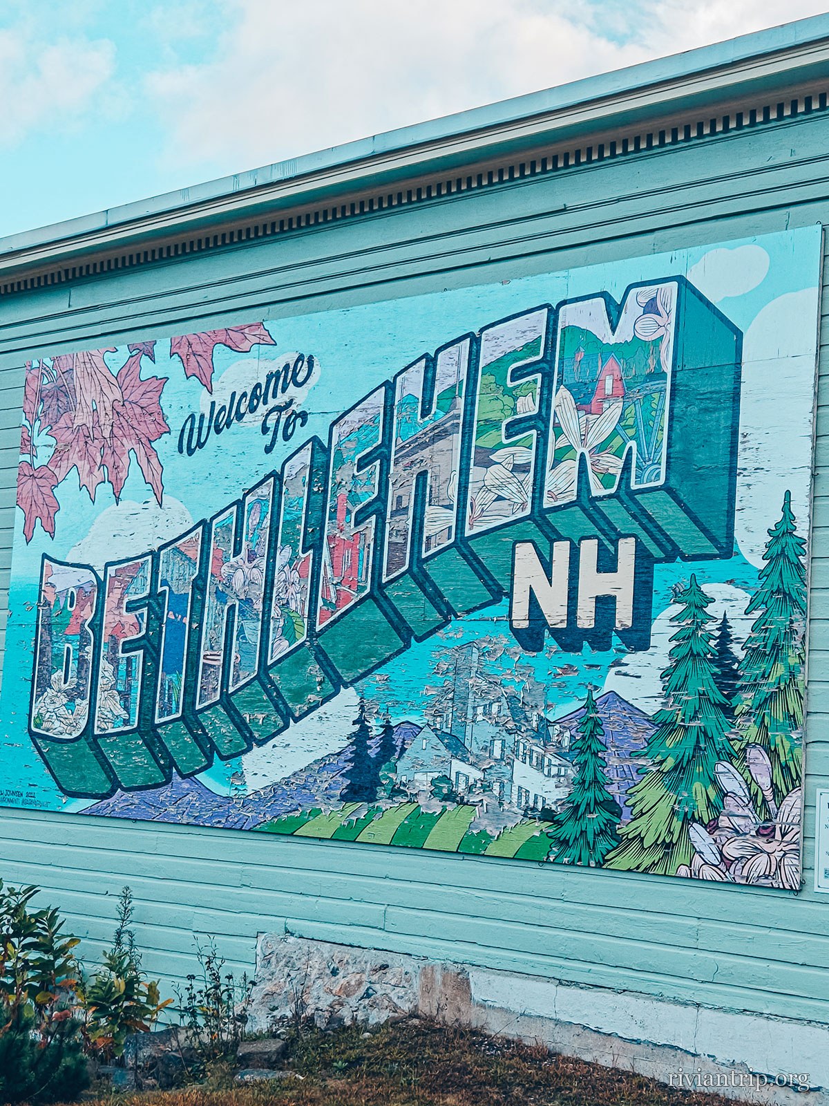
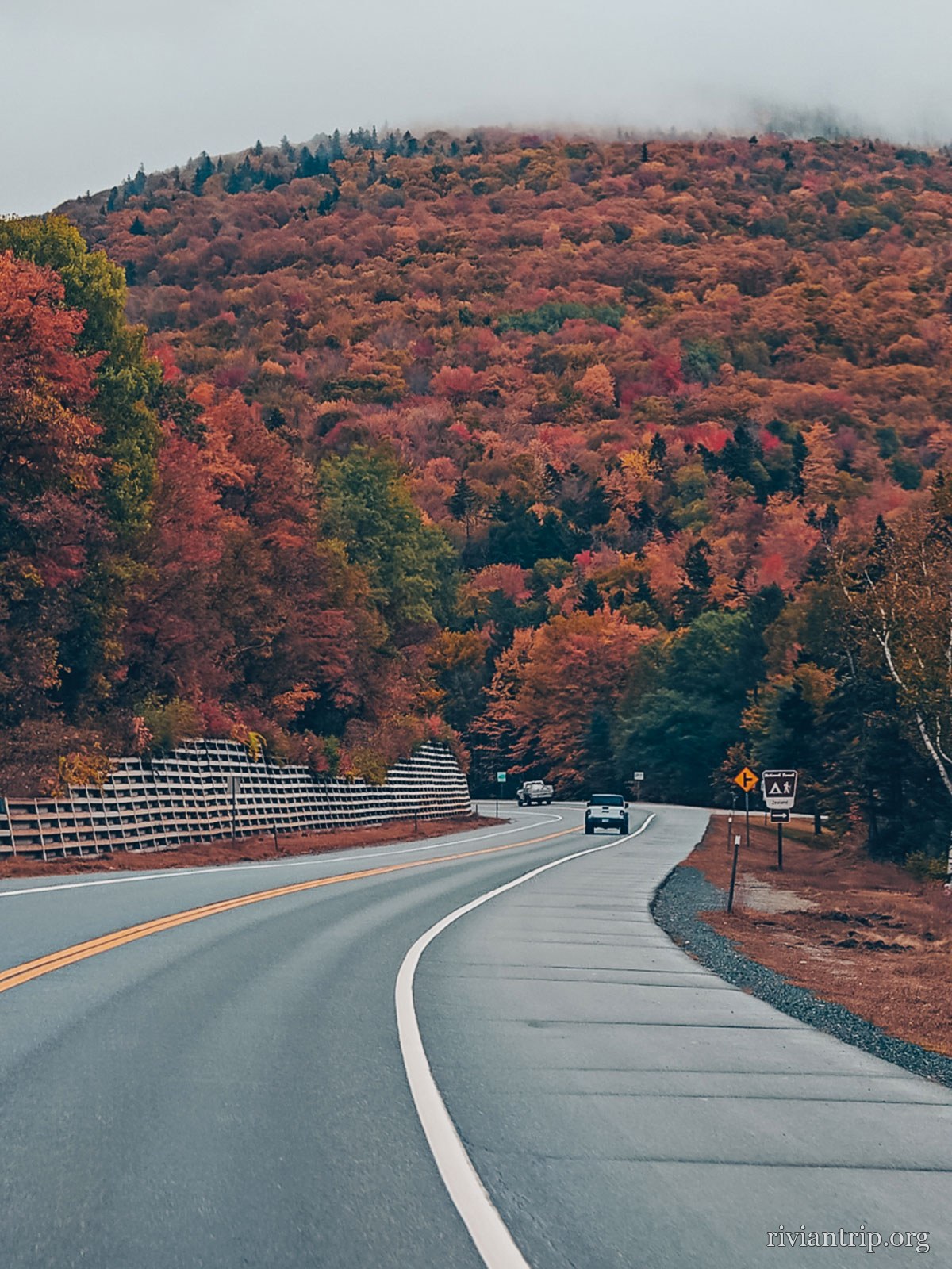
This time we left Granby in the autumn, heading for Maine, with Portland as our destination. To reach the coast we chose to cross New Hampshire on the famous US Route 302, a road that runs through the mountain landscapes of the White Mountains before dropping gradually towards Maine. The autumn colours gave the country a whole other dimension. The forests turned red, orange and yellow, while the small roads lined with wooden houses were a reminder that we were already in New England. Our route took us through Bethlehem, New Hampshire, a small town set at the foot of the mountains, before carrying on into Maine.
Route 302
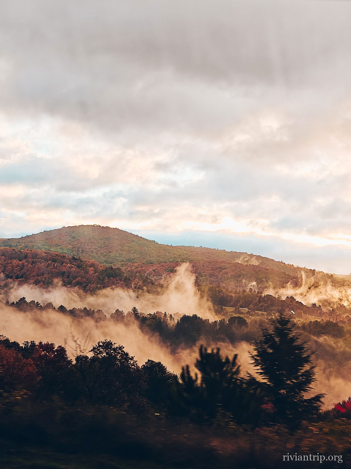
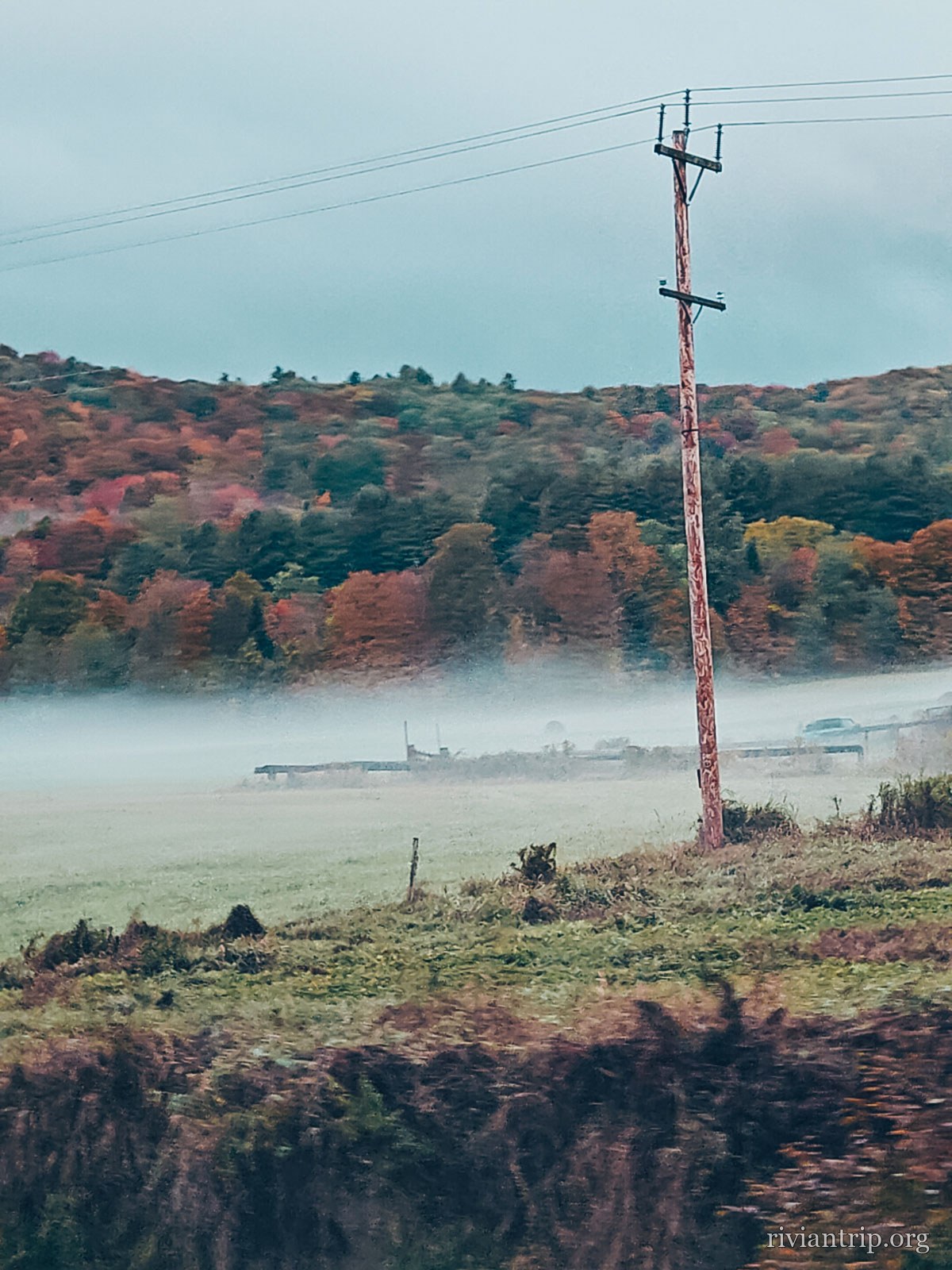
The road dropping into a mist-filled valley
The first light of the day
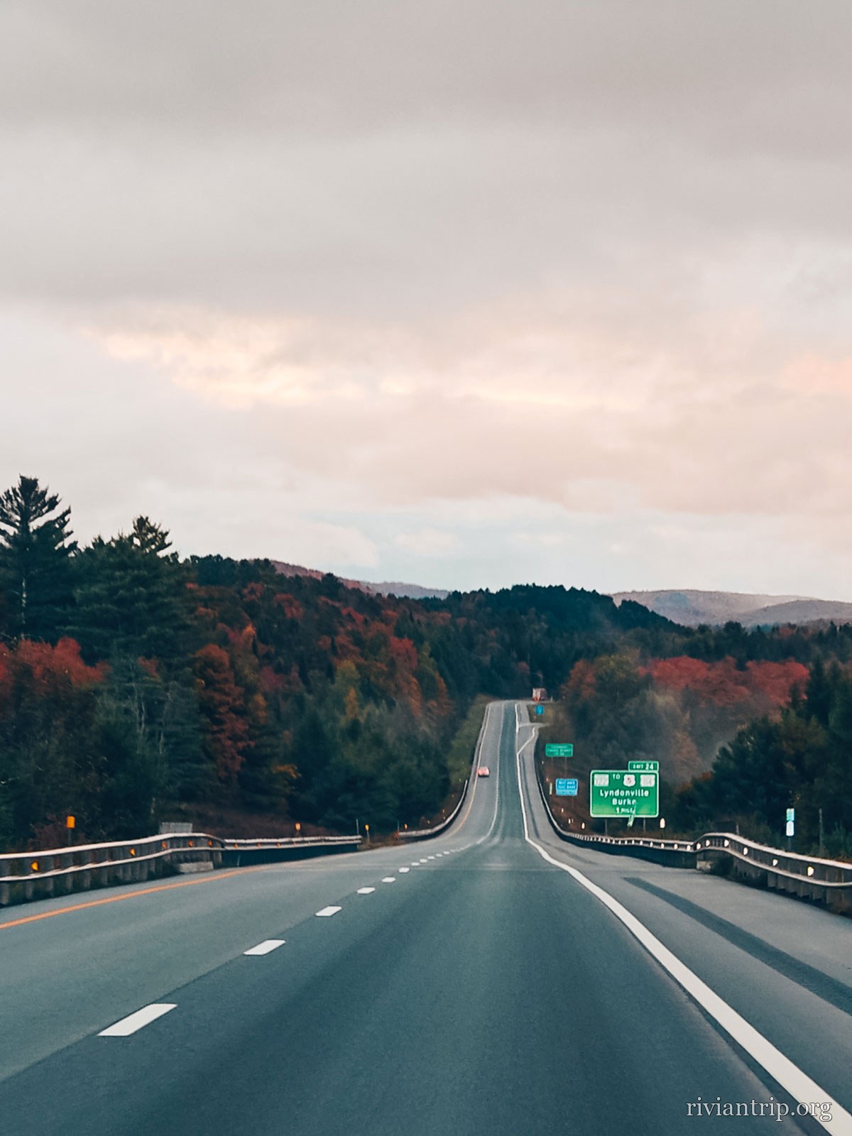
The road south at first light, through the New Hampshire hills
A sea of mist over the forest at sunrise
The road south at first light, through the New Hampshire hills
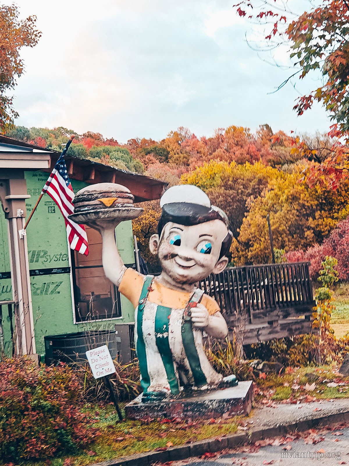
A huge painted figure by the roadside, an American flag beside it
A roadside curiosity
The road south at first light, through the New Hampshire hills
A brightly coloured mural lettered NH
New Hampshire, in paint
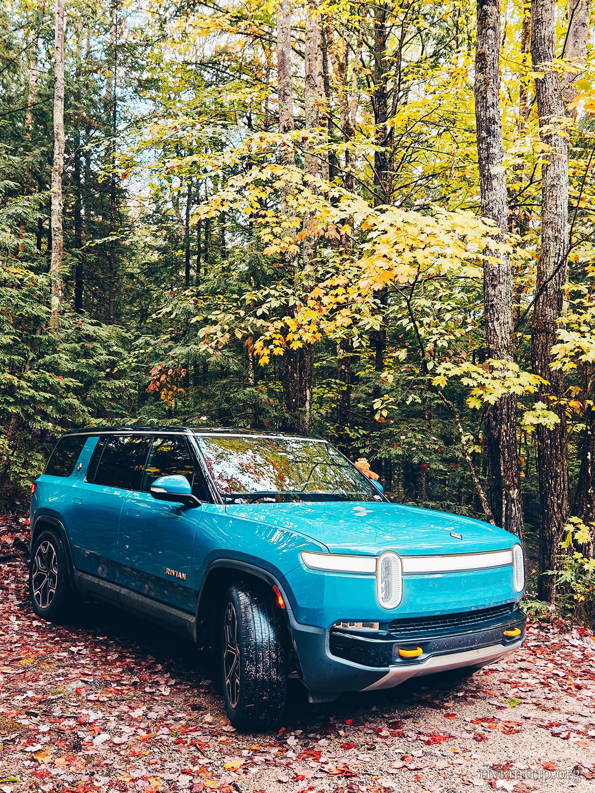
A bend in the road lined with red and orange maples

The start

We left before daybreak: the fog was still asleep in the valleys.

Route 302 crosses the White Mountains west to east: mountains to coast.

The season

Red, orange, yellow: the forests had taken on all their autumn colours.
302
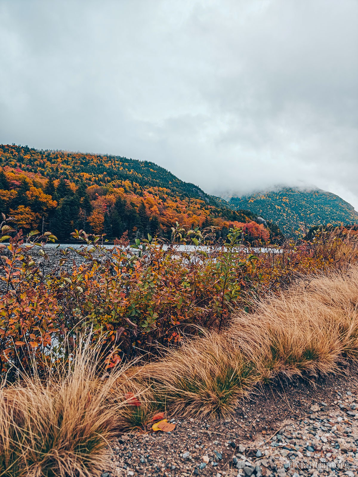
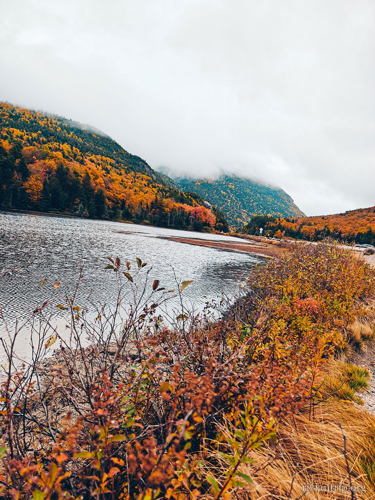
The pond
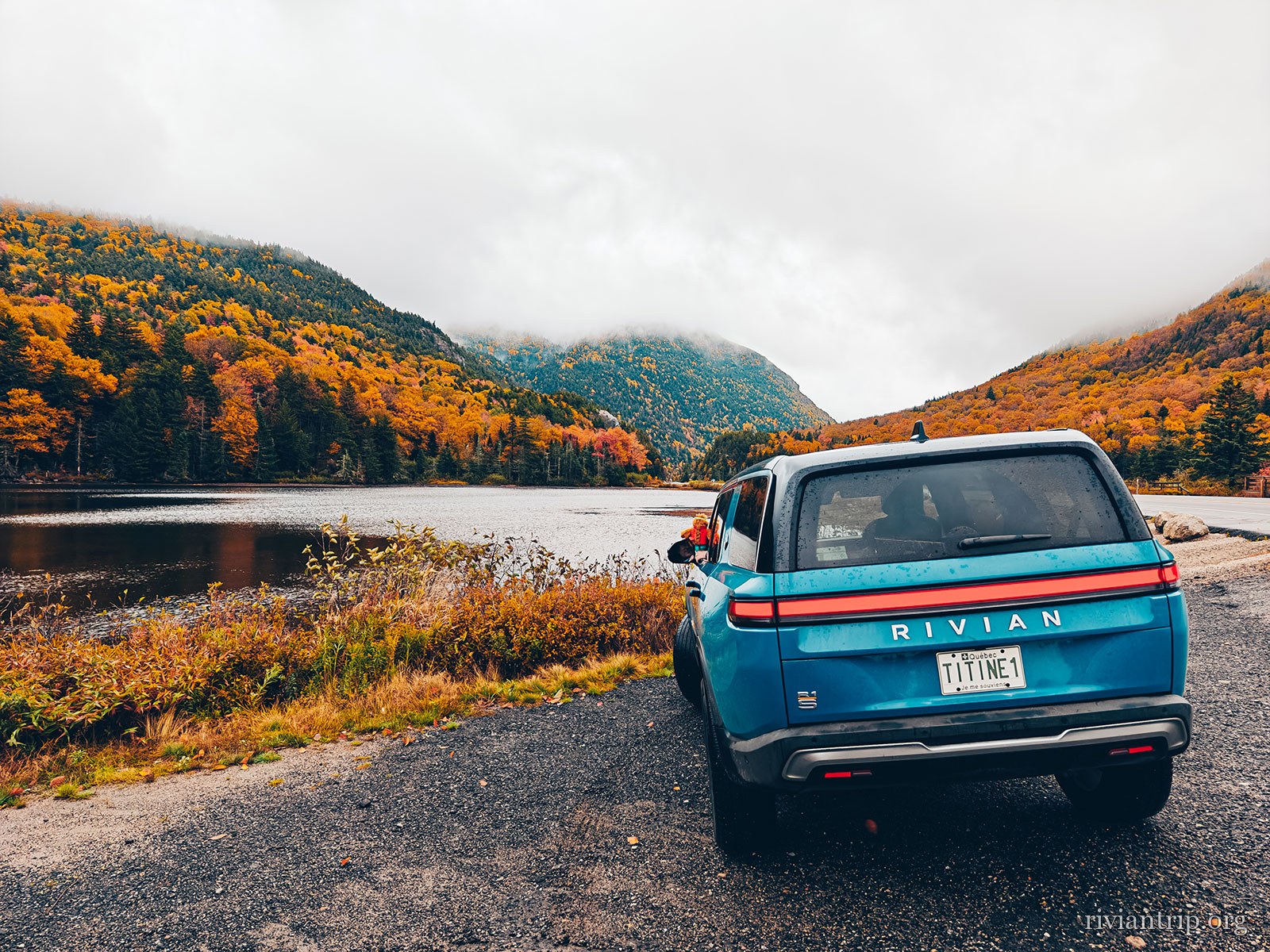
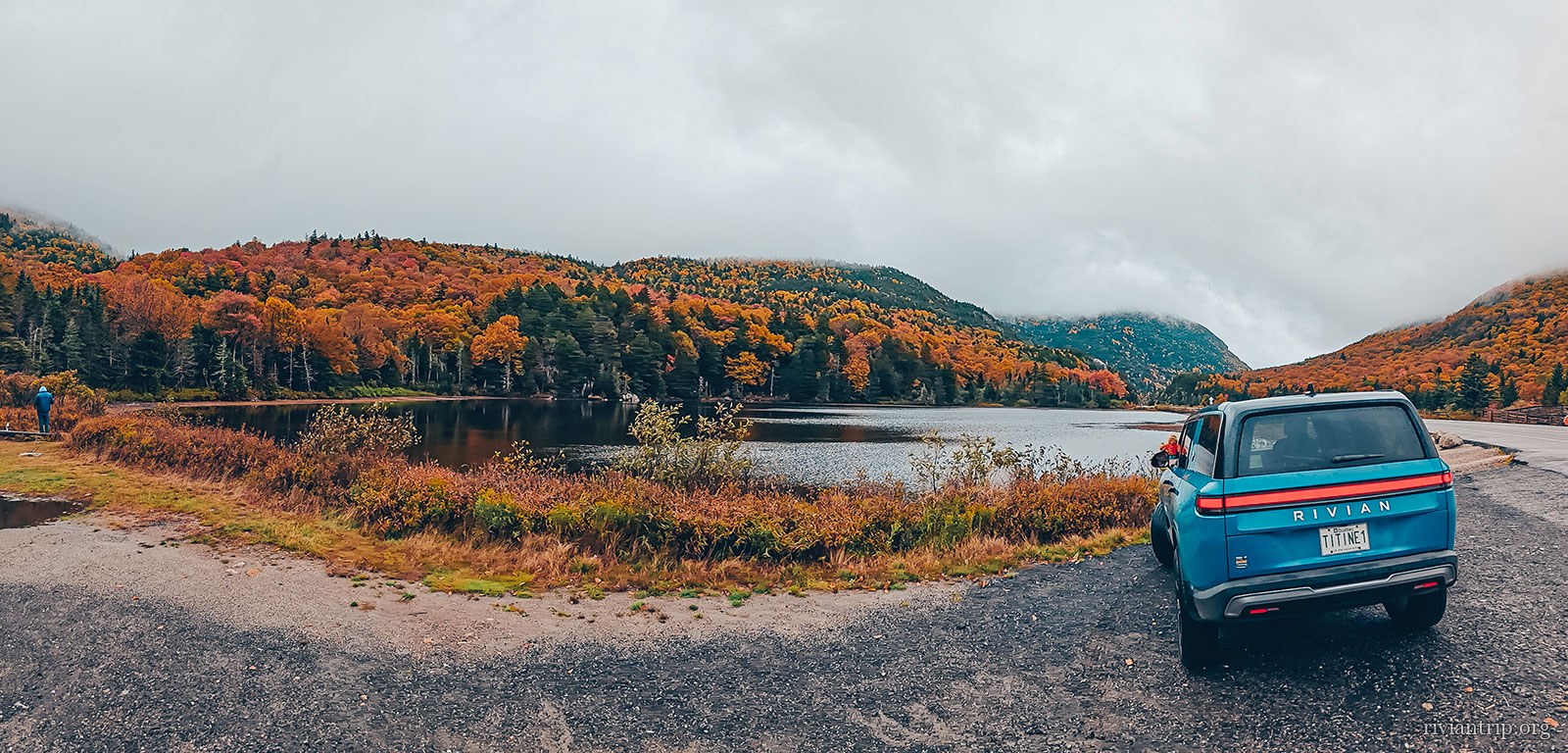
The Rivian pulled up beside the pond in the mist
We stopped to look
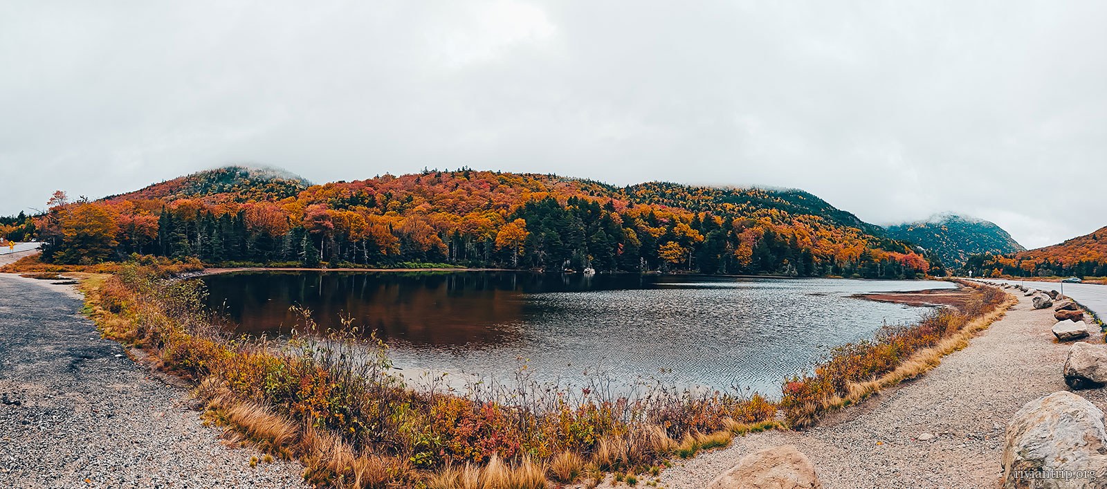
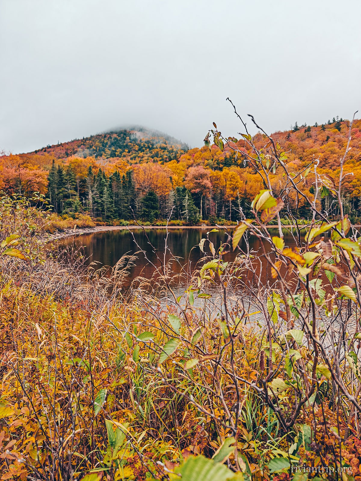
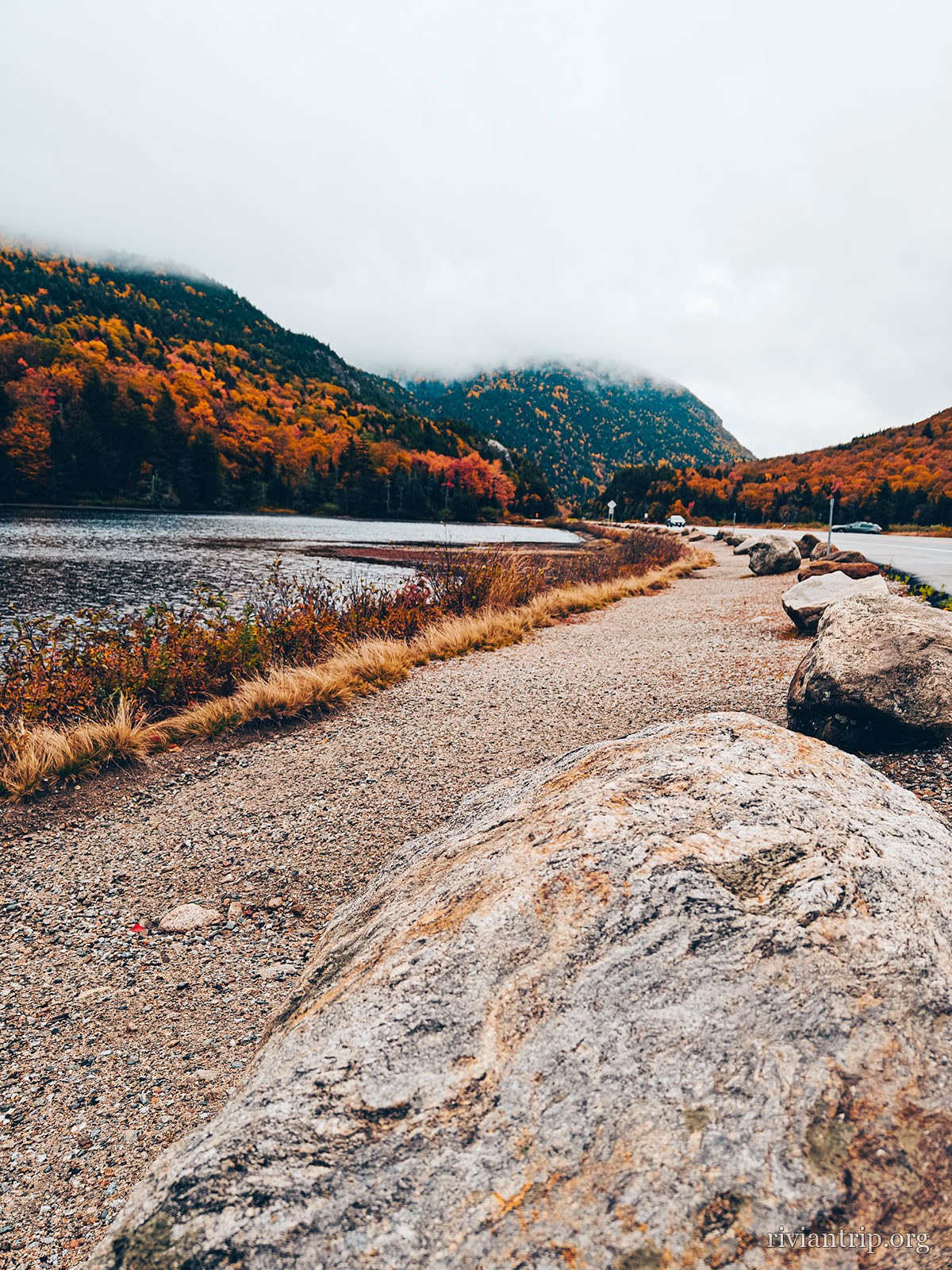
A pond fringed with rust-coloured reeds under a low sky
The pond at Carroll
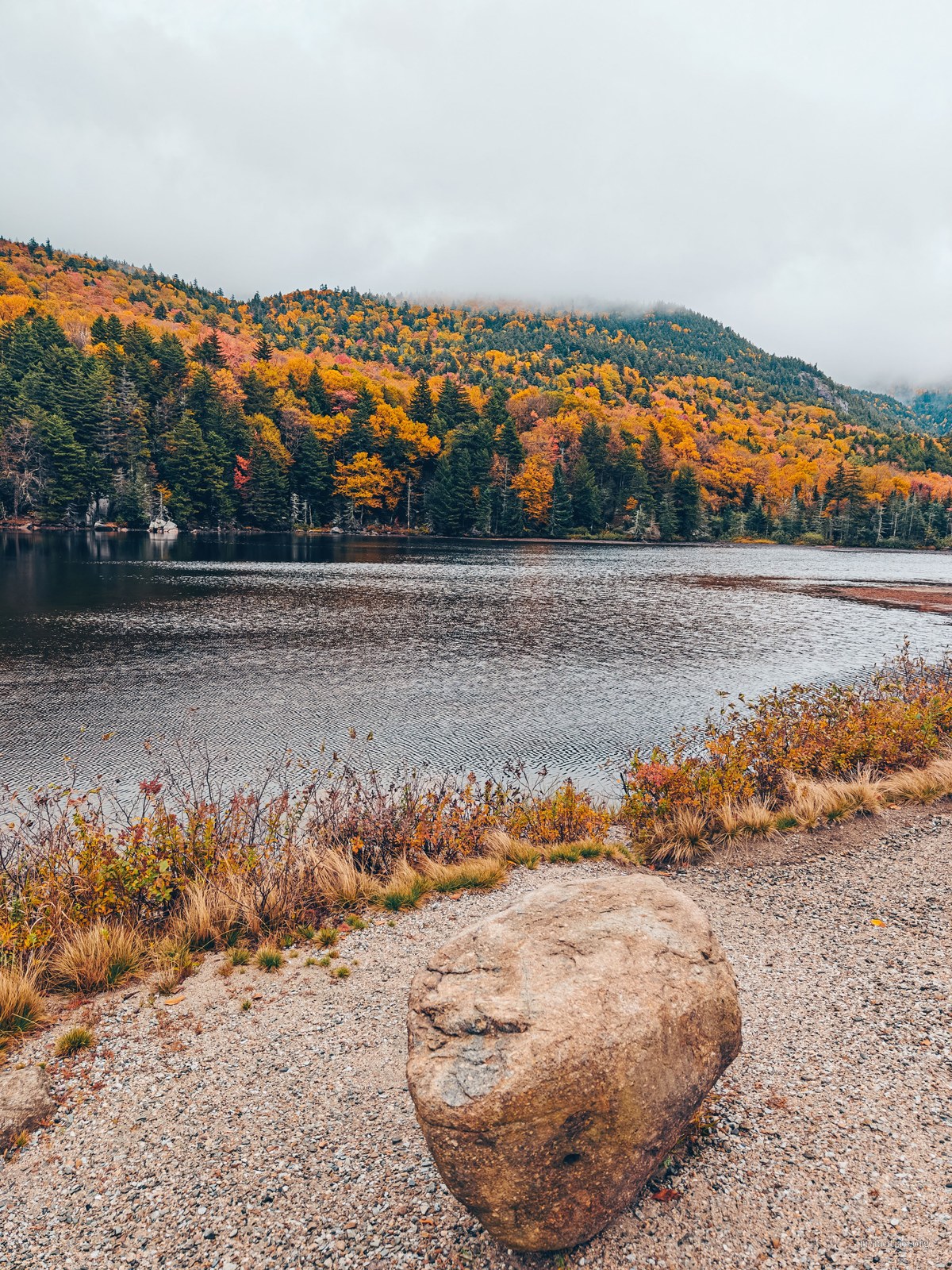
A still pond at the foot of the White Mountains, in autumn colour
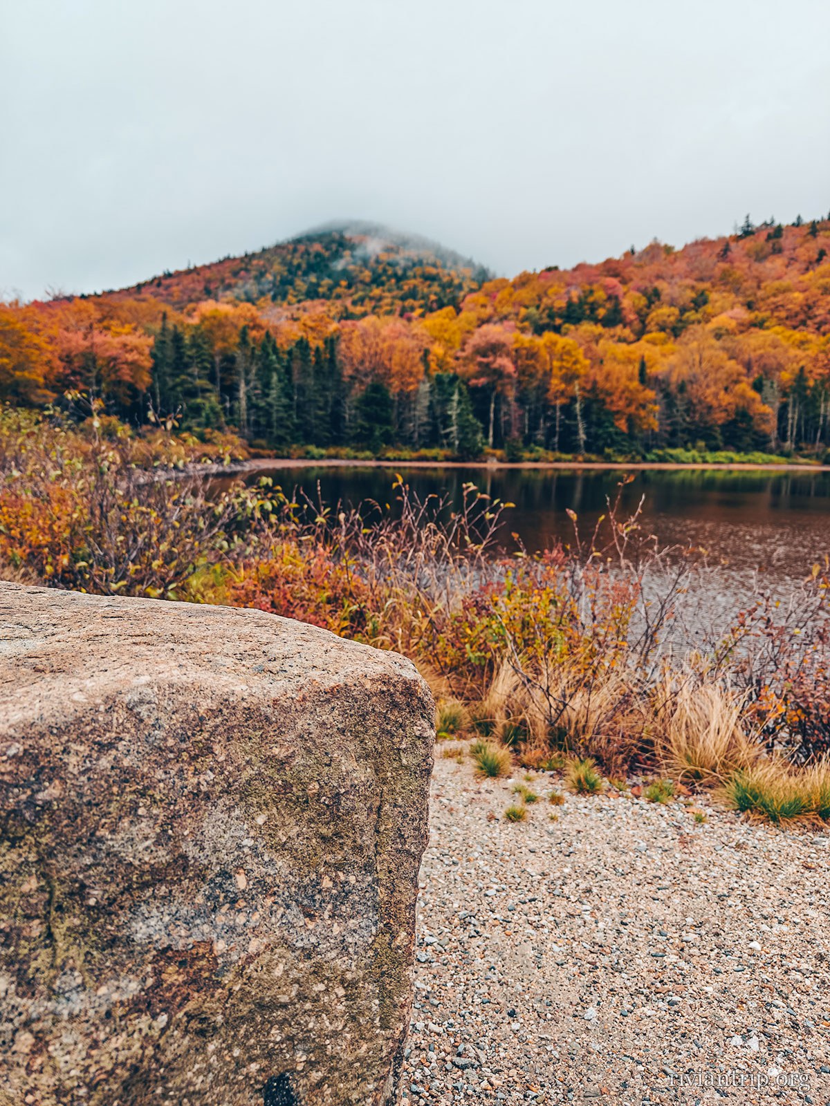
A large boulder at the water’s edge, mountains behind
A still pond at the foot of the White Mountains, in autumn colour

The hour

The sun has not yet burned off the mist: it holds on the water until mid-morning.

The road

US Route 302

Through the White Mountains · Bethlehem, NH
The back roads
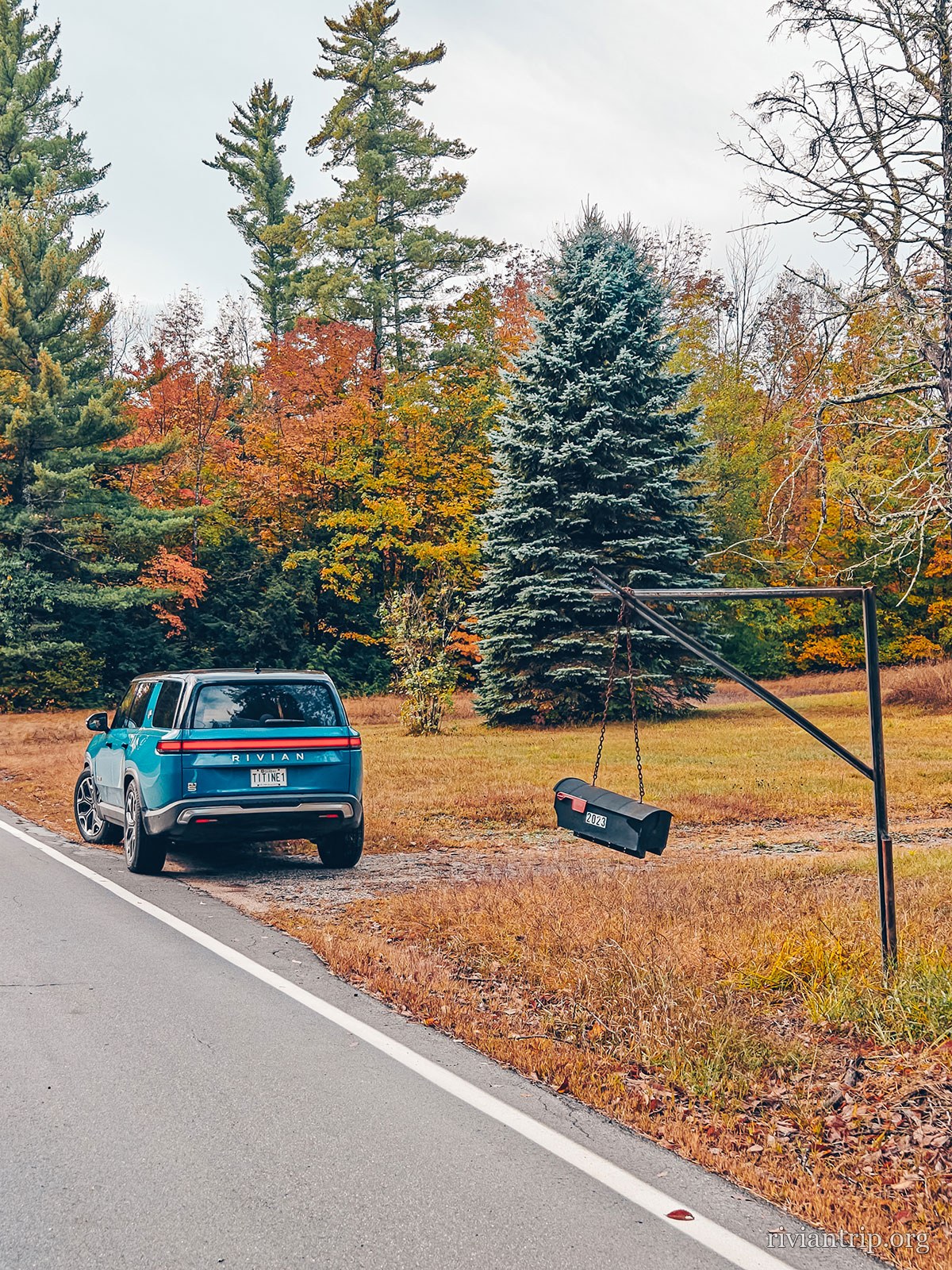
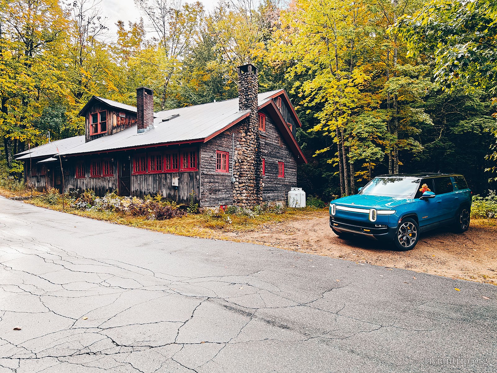
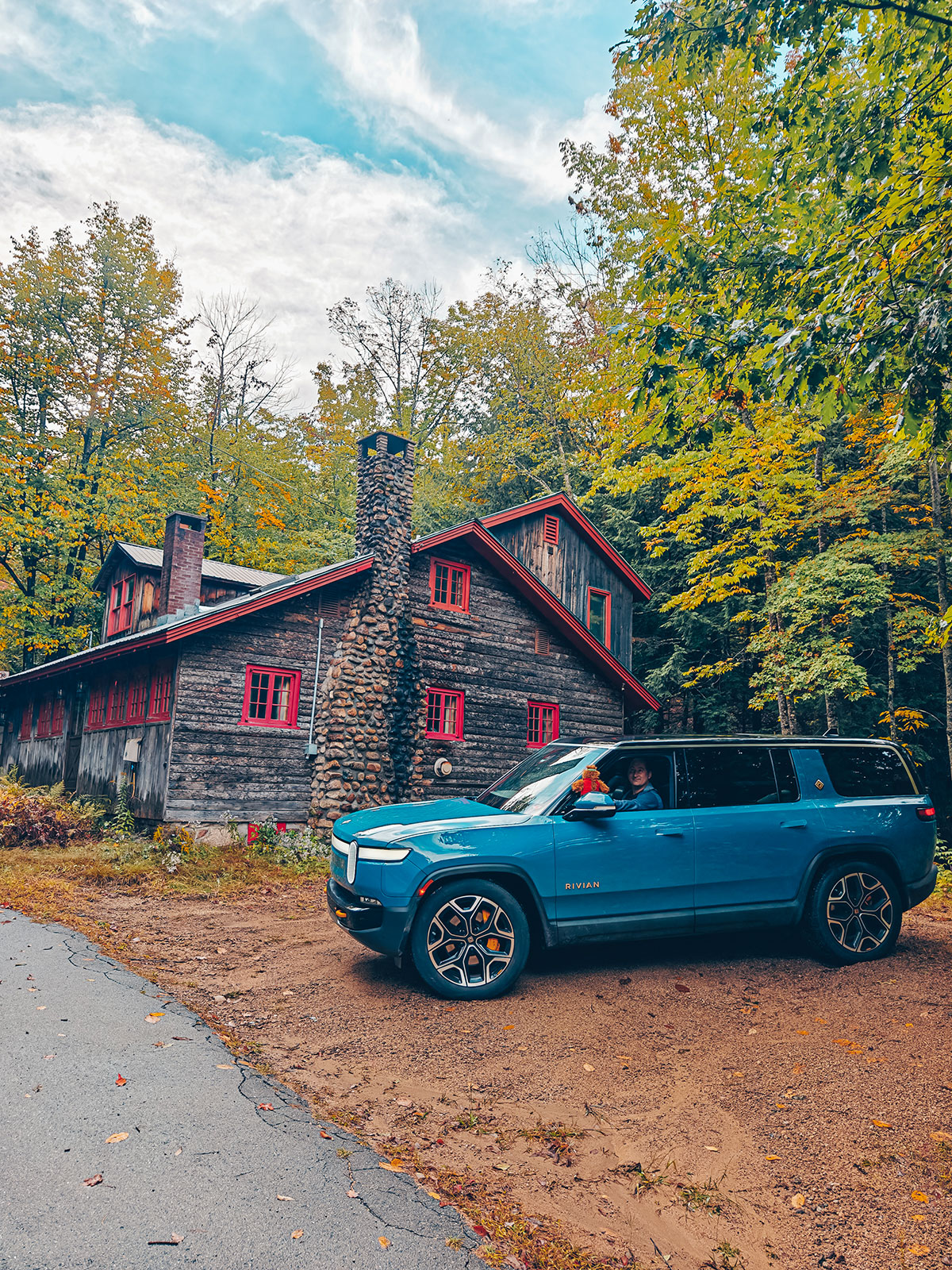
A red wooden lodge on Route 113, the Rivian in front
On Route 113
Route 113 through the Evans Notch woods, between New Hampshire and Maine
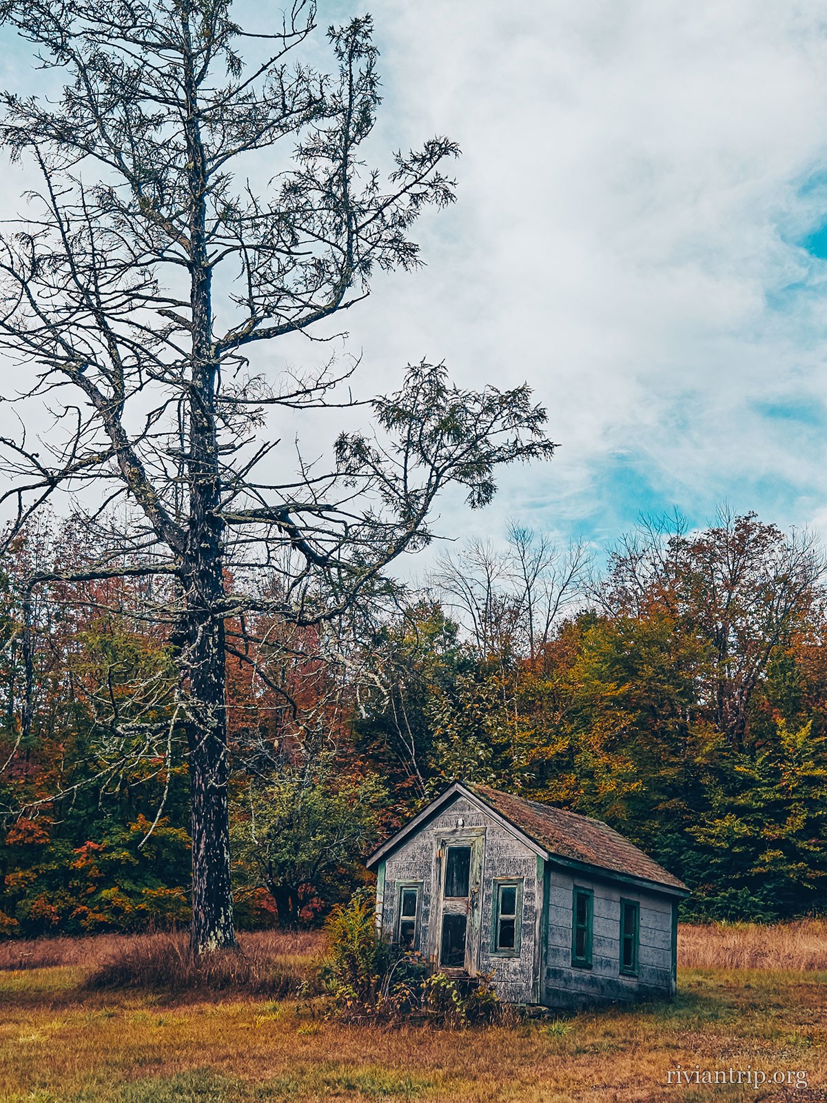
A small abandoned wooden schoolhouse by the road
A schoolhouse from another century
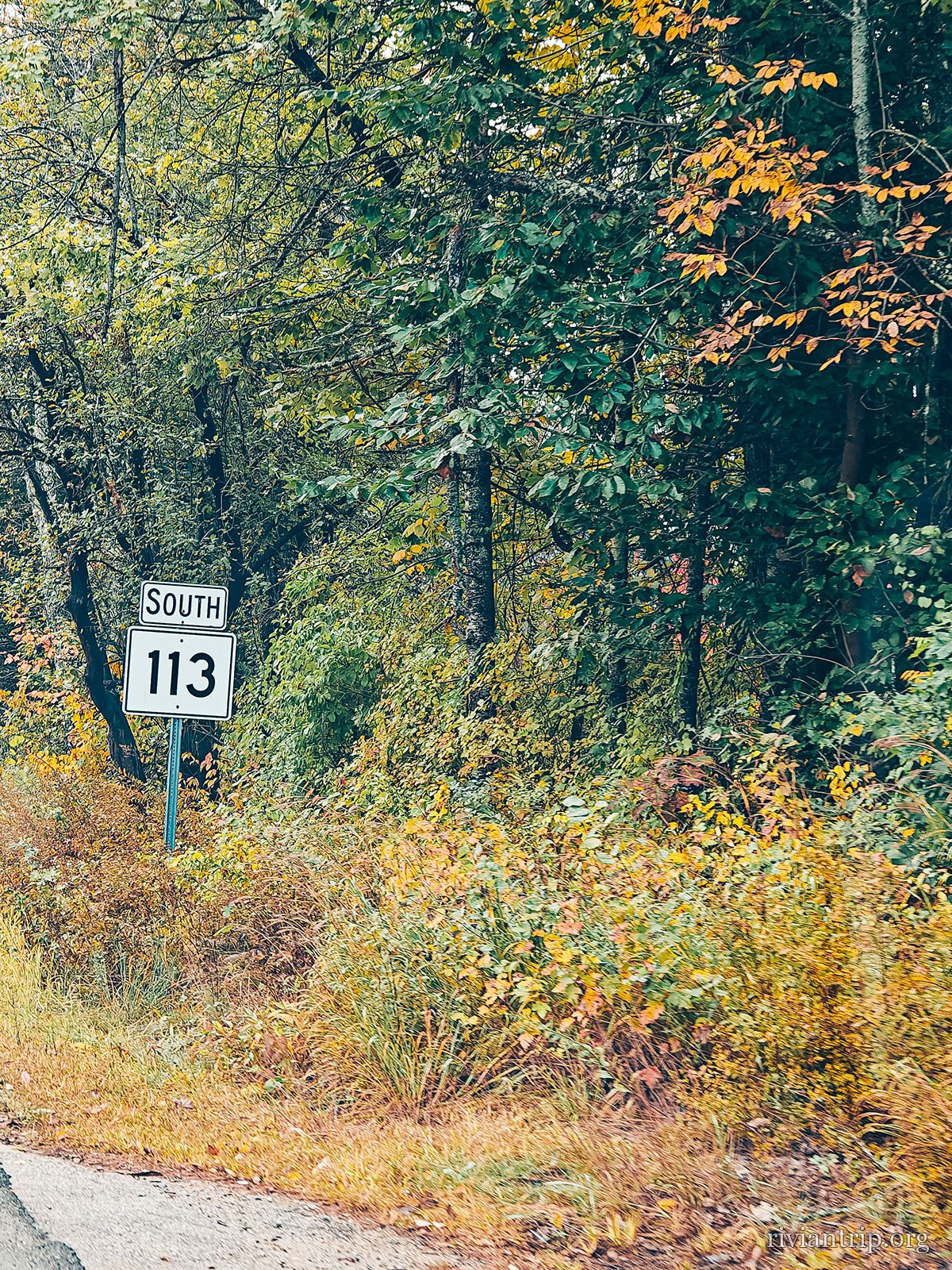
The Route 113 shield among the foliage
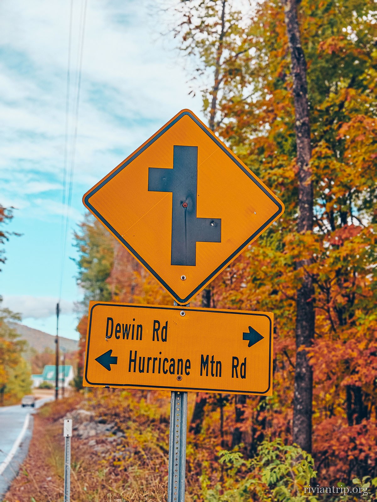
A signpost for Devon Rd and Hurricane Mtn Rd
A large stone building by the road, the Rivian in front

Autumn

Red, orange, yellow: the season decided the trip for us.

The wooden houses along the road are a reminder that this is already New England.
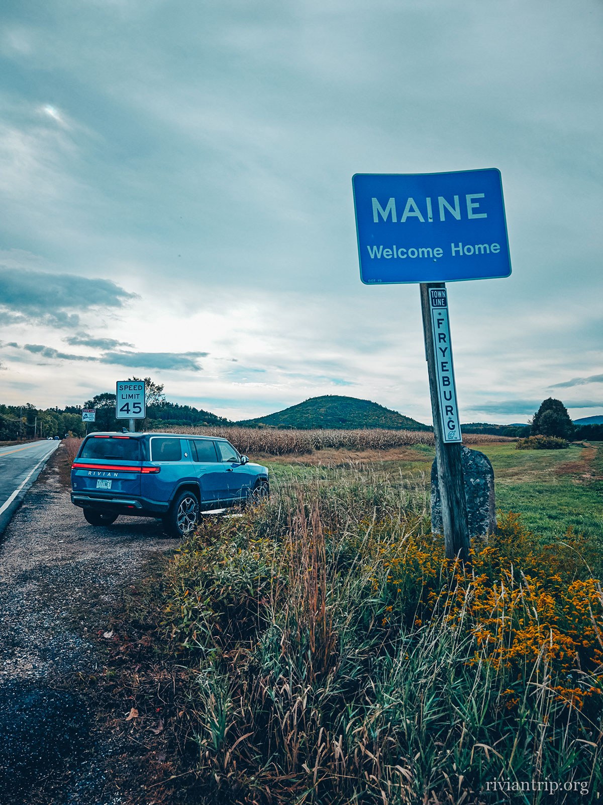
Maine
The Maine state line sign: “Welcome Home”

The state line

“Maine — Welcome Home”

Maine also has a Norway, a China and a Peru: the settlers named their townships with an atlas.

The coast ahead

One more hour and the mountains give way to the Atlantic.

The shore

Rock, pines and swell: Maine announces its coast long before you see it.

02

Old Orchard Beach

a fine Maine beach
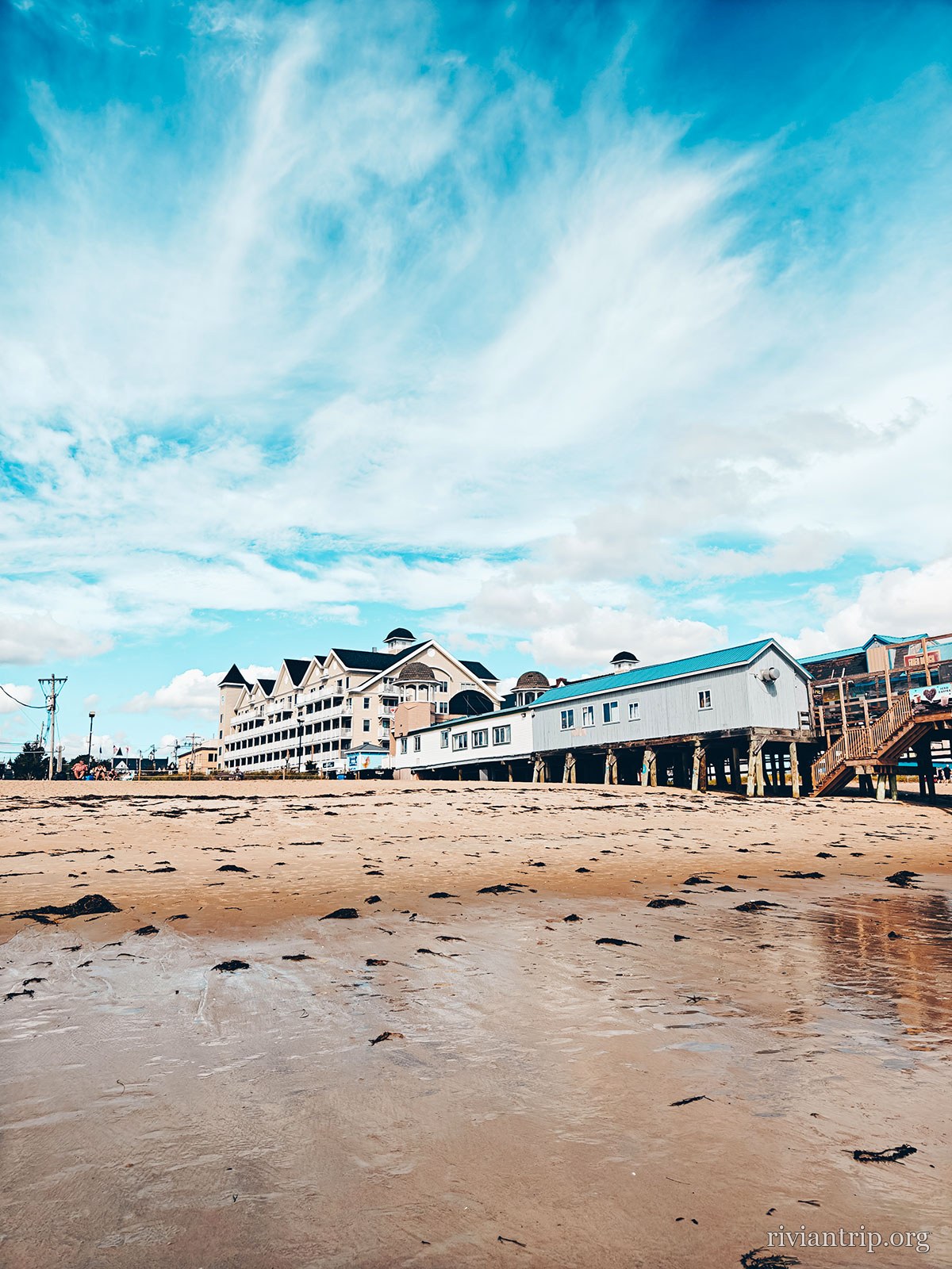
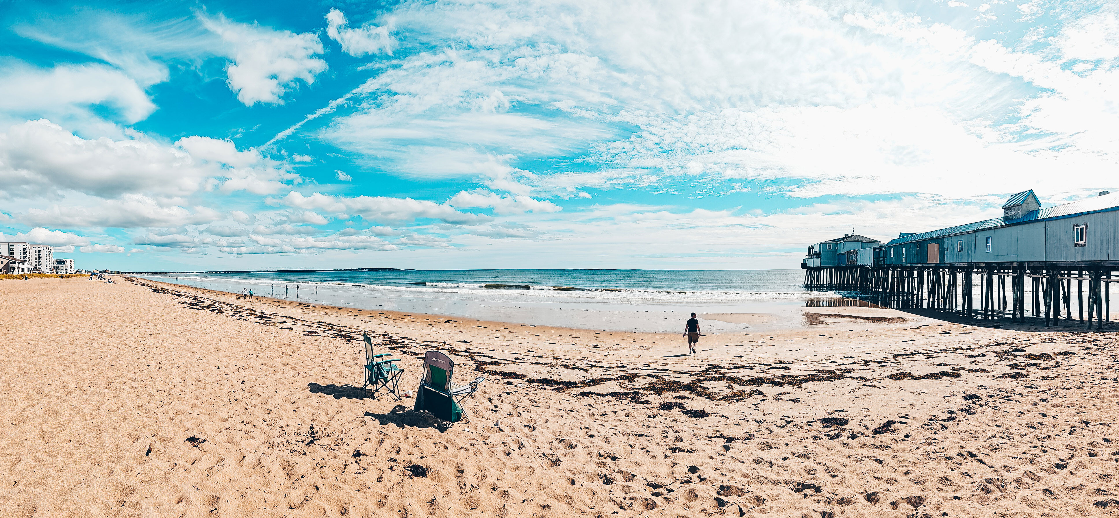
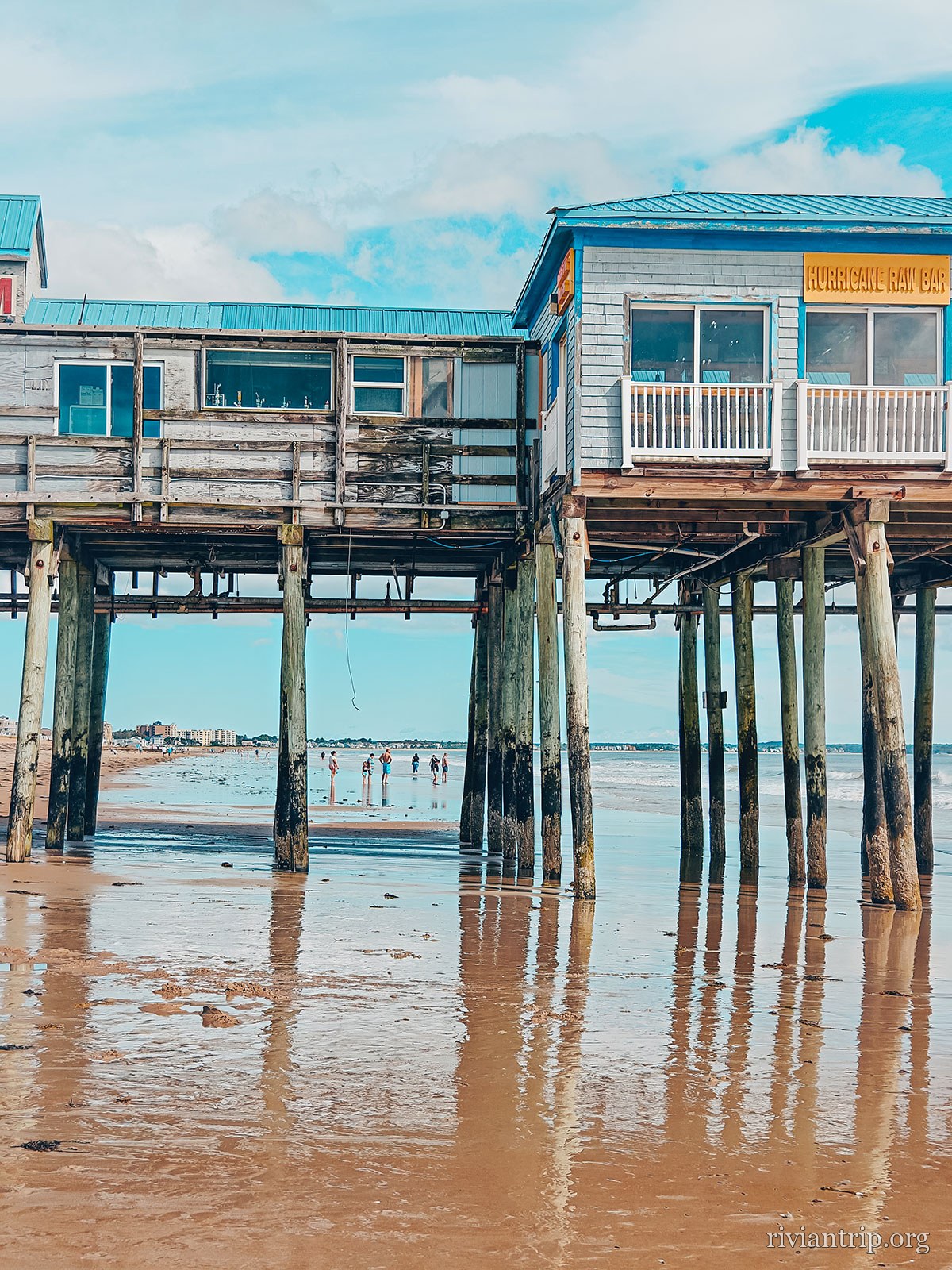
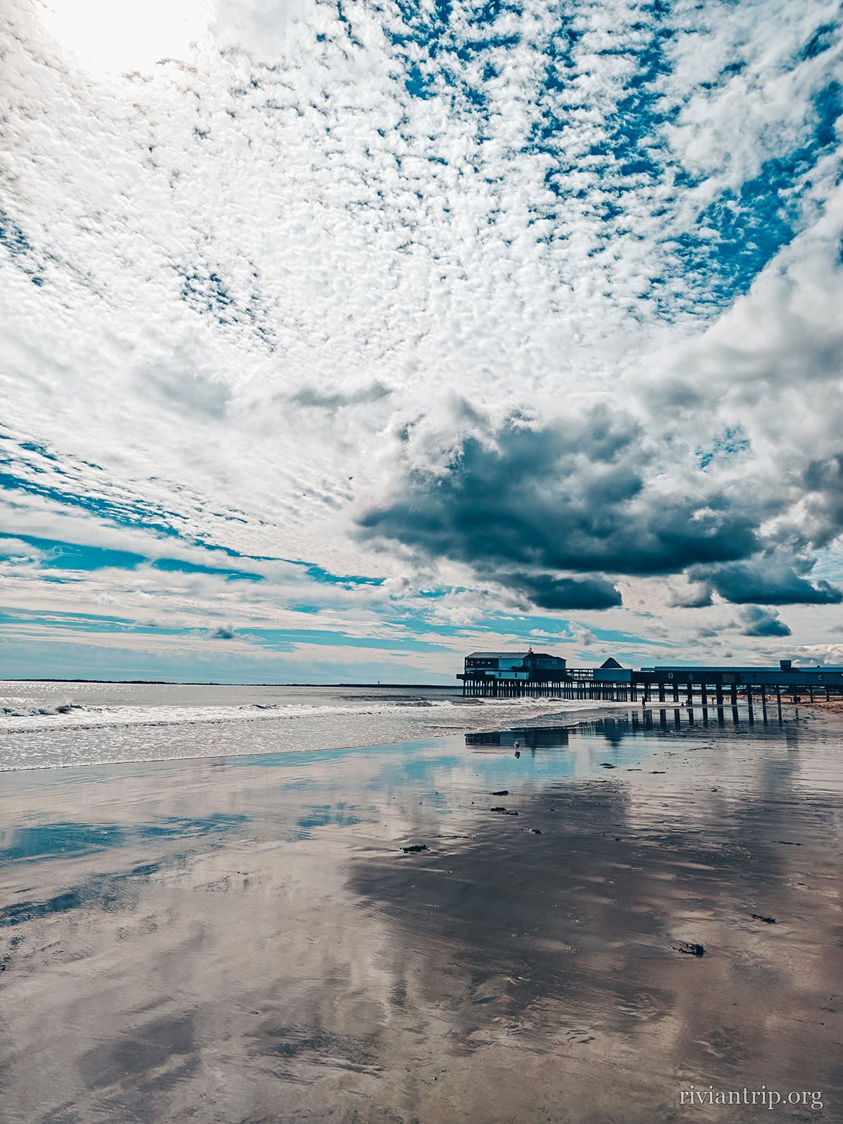
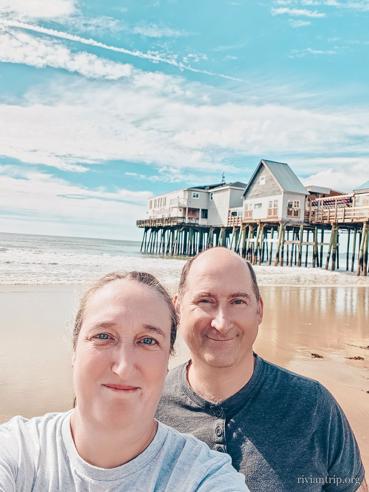
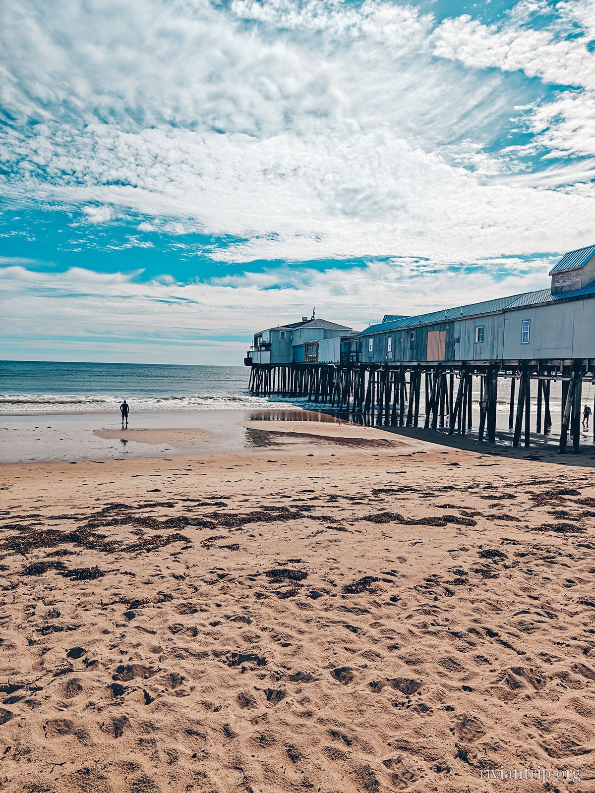
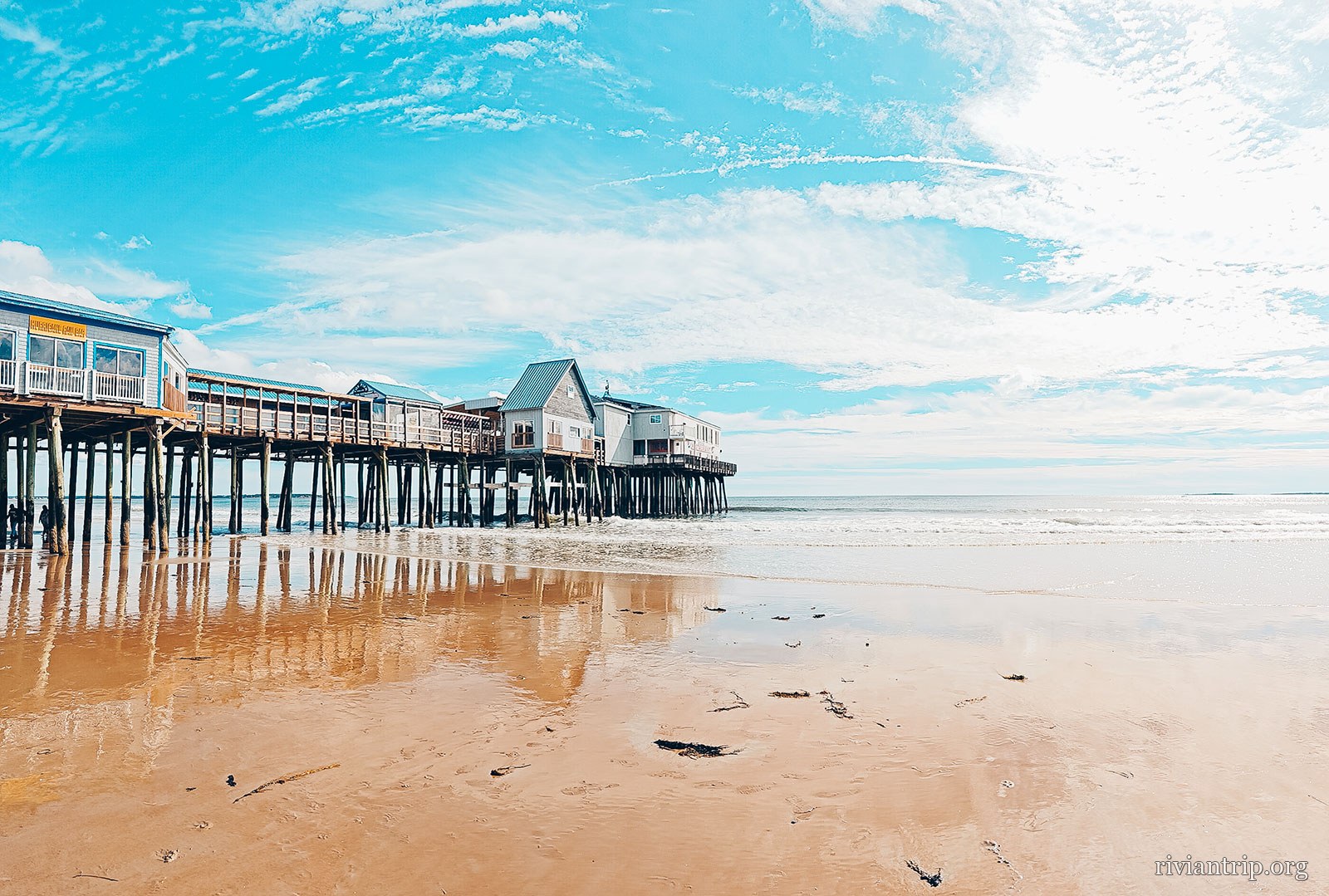
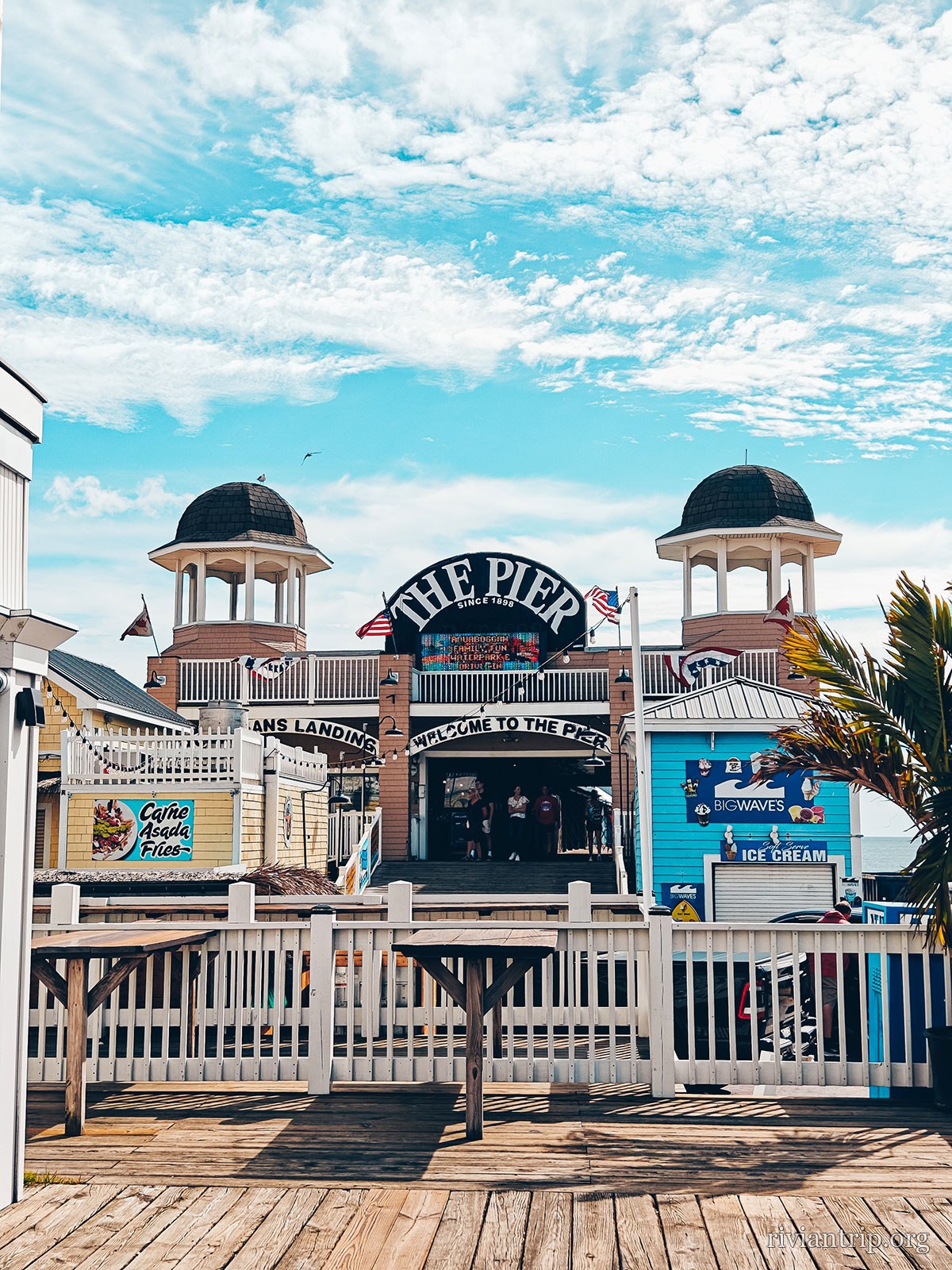
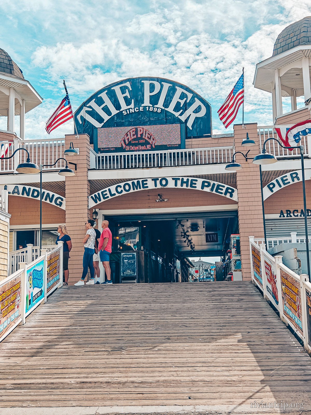
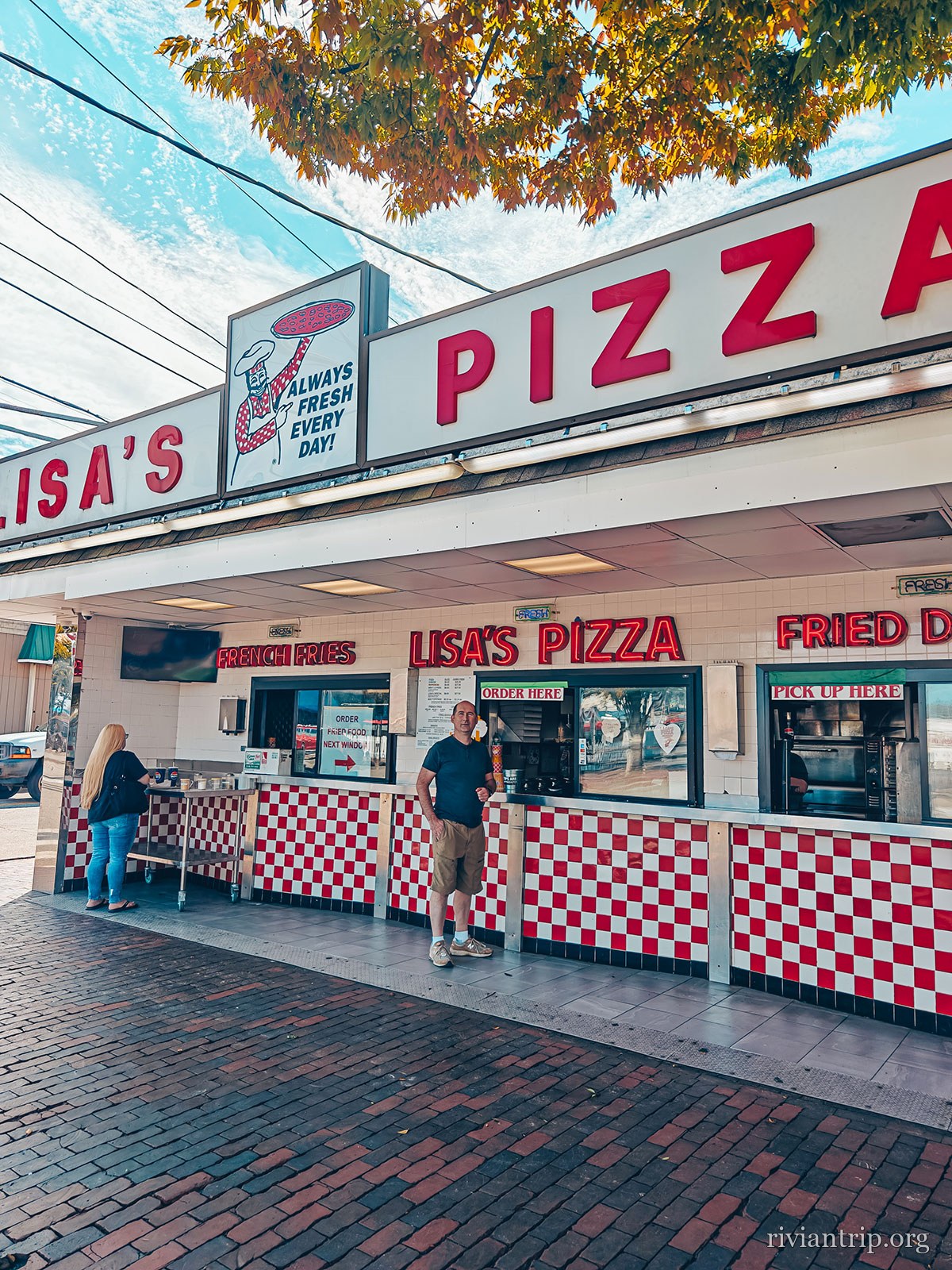
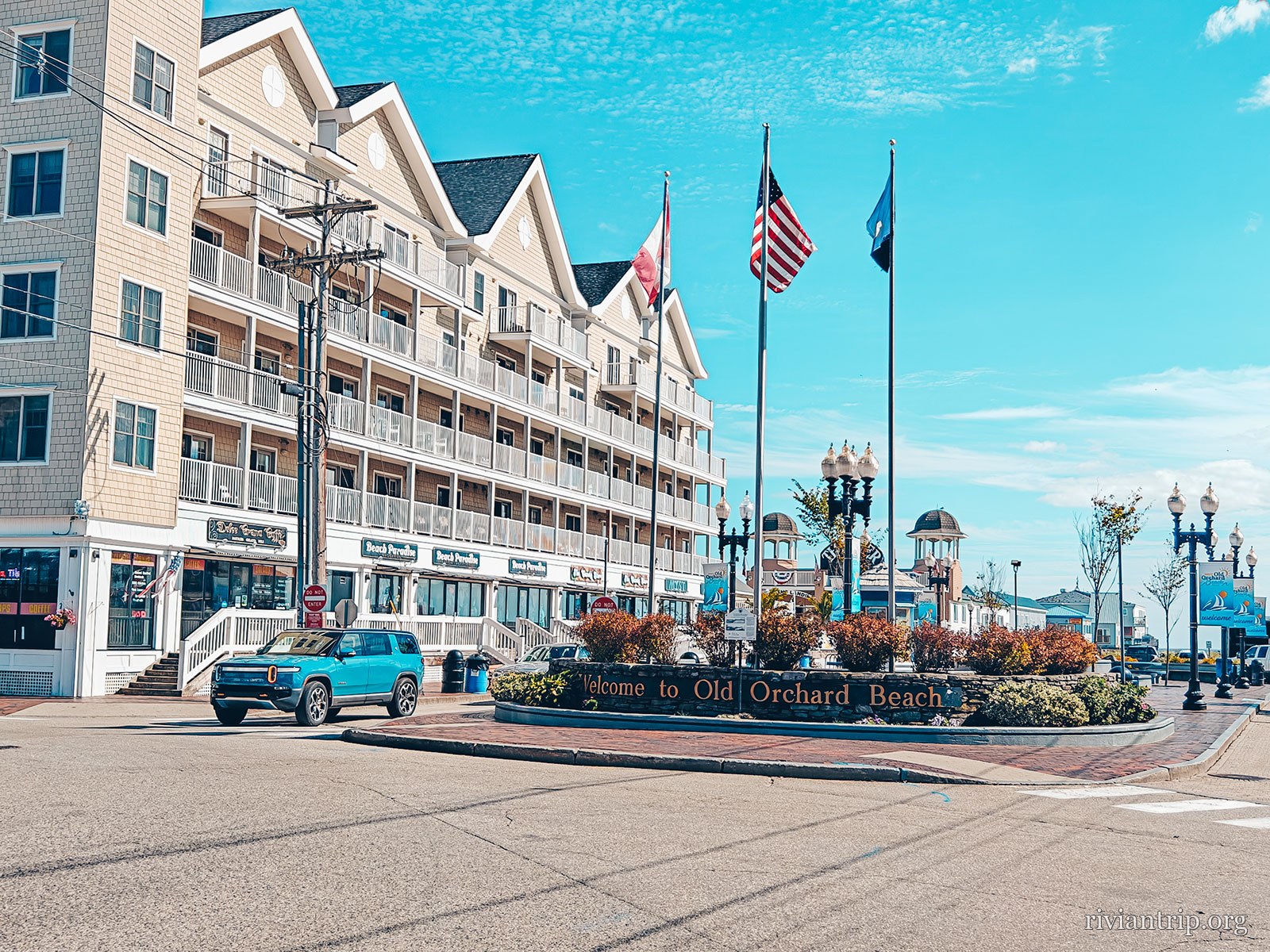
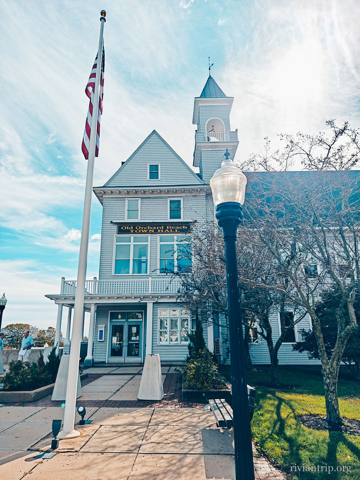
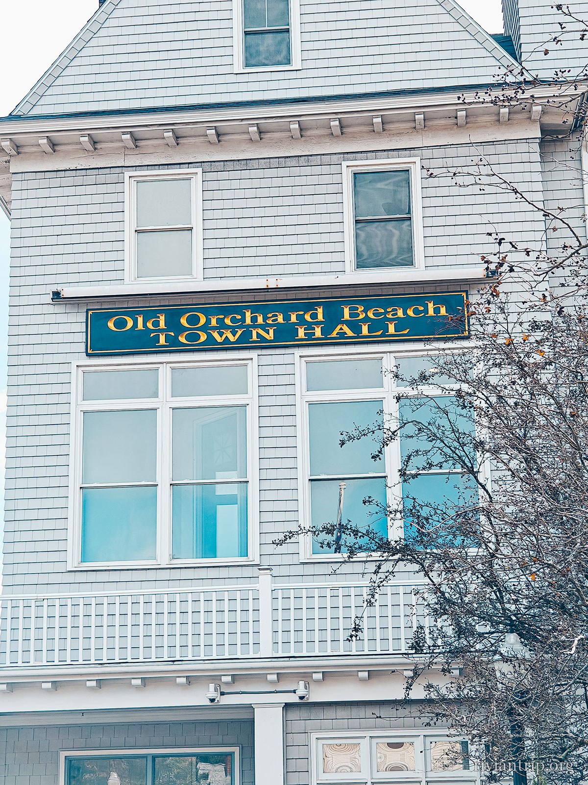
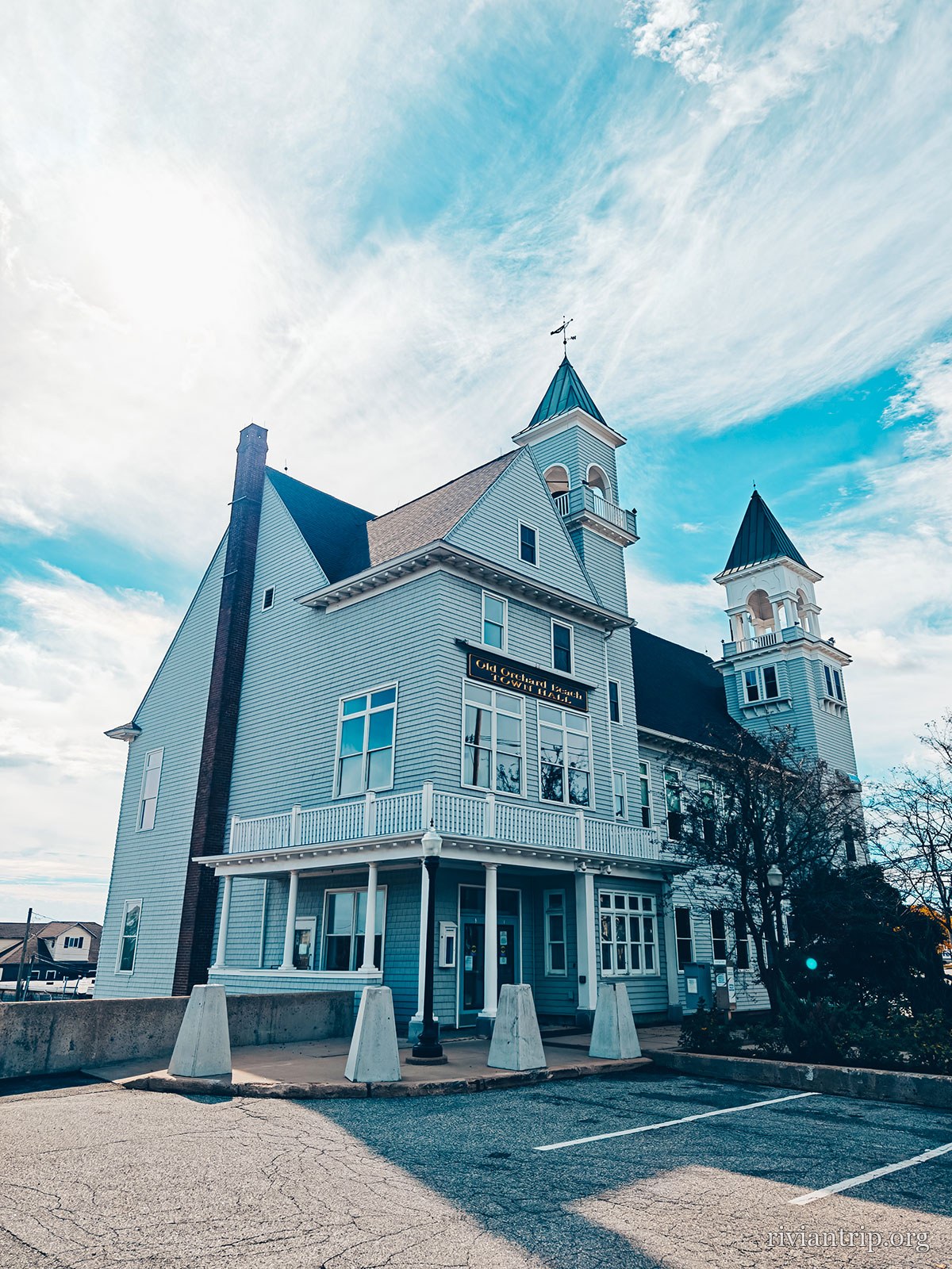
Reaching the coast, the scene changes completely. Here we are at Old Orchard Beach, one of the best-known seaside resorts in Maine. In front of us, a huge beach open to the Atlantic, almost deserted at this time of year. The summer atmosphere was gone, leaving the sound of the waves, the sea wind and a few walkers. The beach runs for several kilometres and has long been one of the great tourist destinations of the Maine coast. The famous pier, first opened in 1898, recalls the days when the railway turned this stretch of coast into a hugely popular holiday destination. We simply enjoyed the place, walked on the beach and through the surrounding streets, then stopped for a pizza. A very simple break, but exactly in the spirit of the weekend.
The beach
Old Orchard beach and its pier, seen from a distance
Seven miles of sand, all but empty
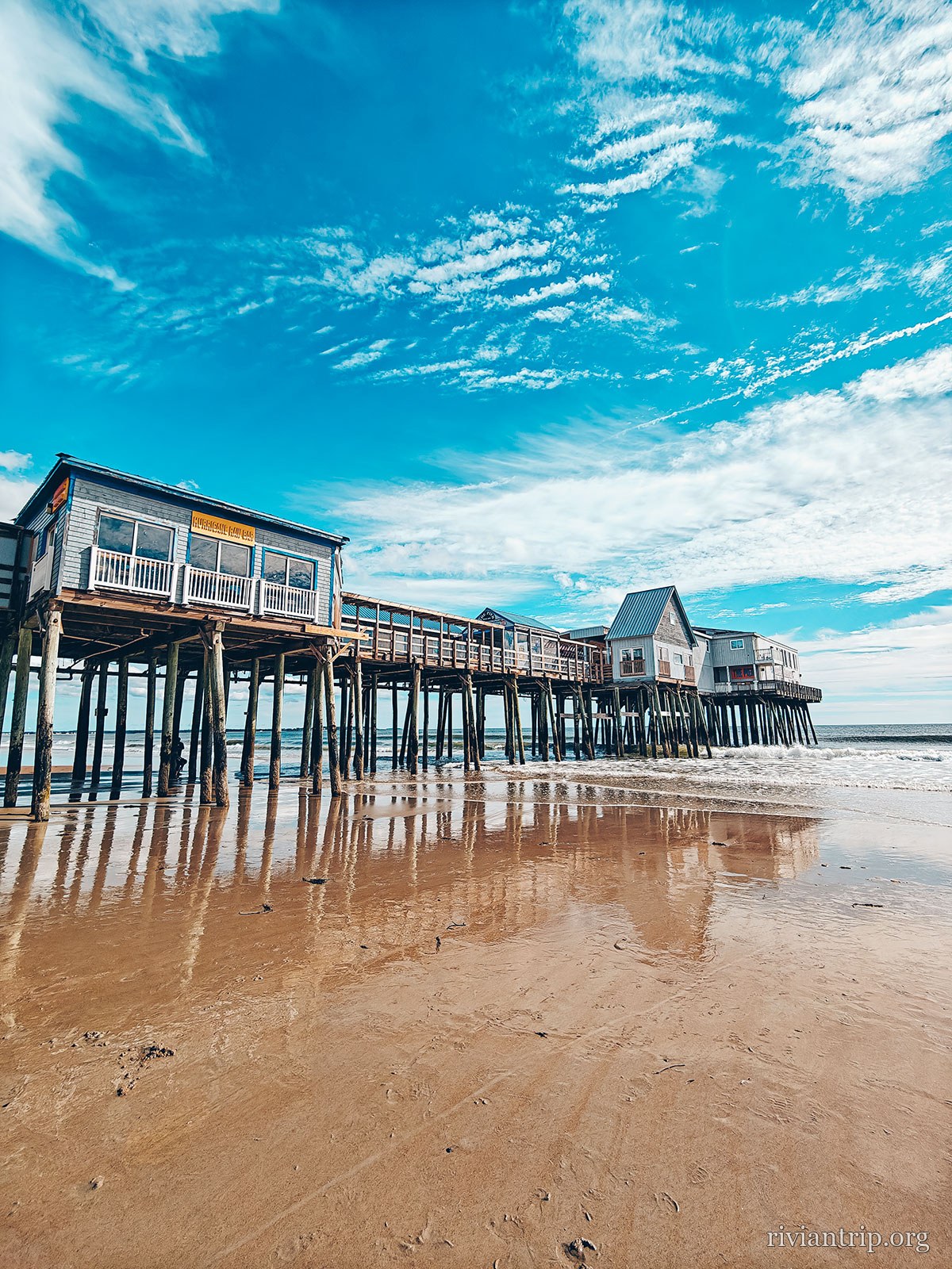
The pier on stilts seen from the wet sand
The Old Orchard pier
The beach at Old Orchard Beach and its pier on stilts
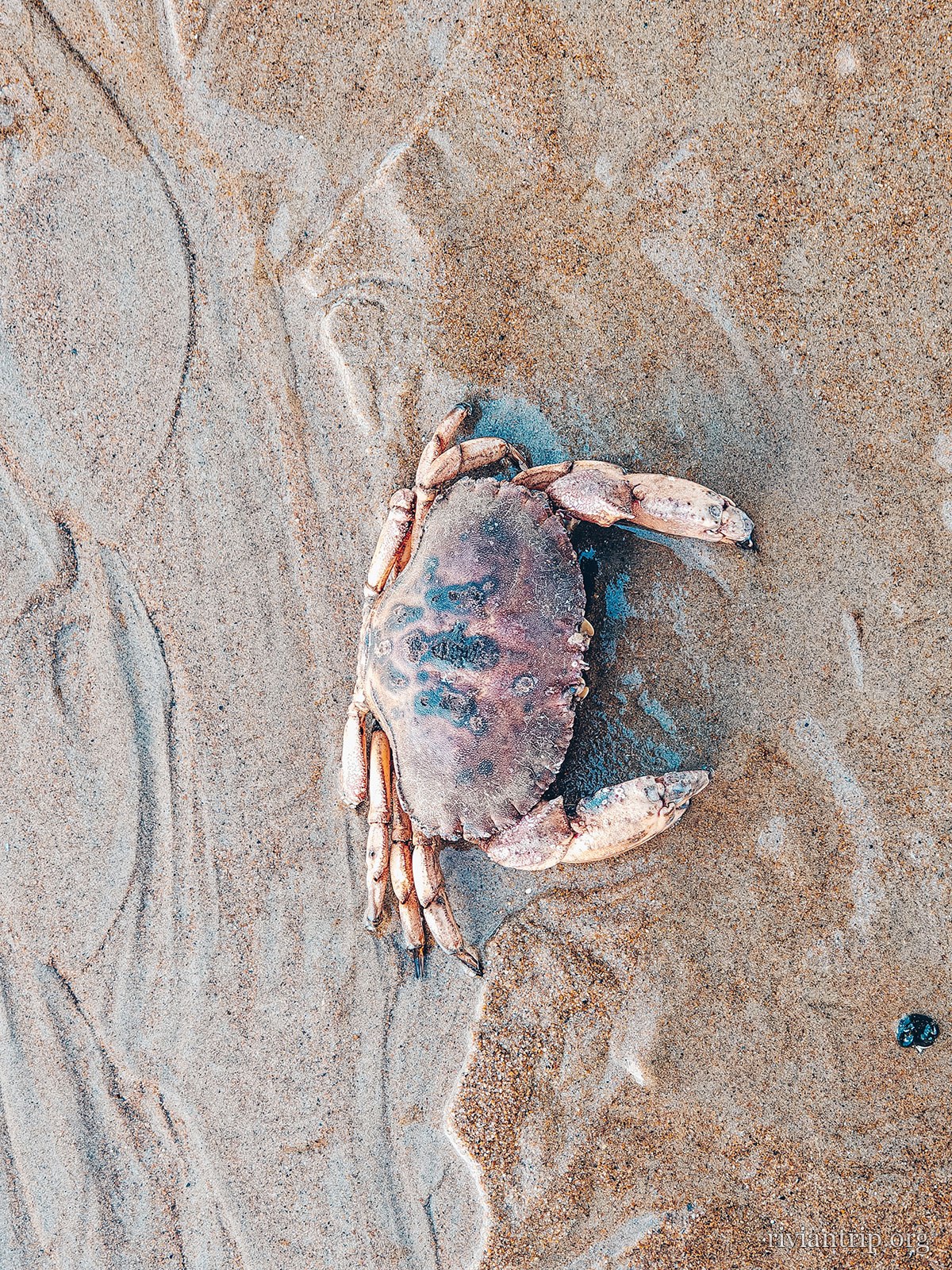
A crab washed up on the sand
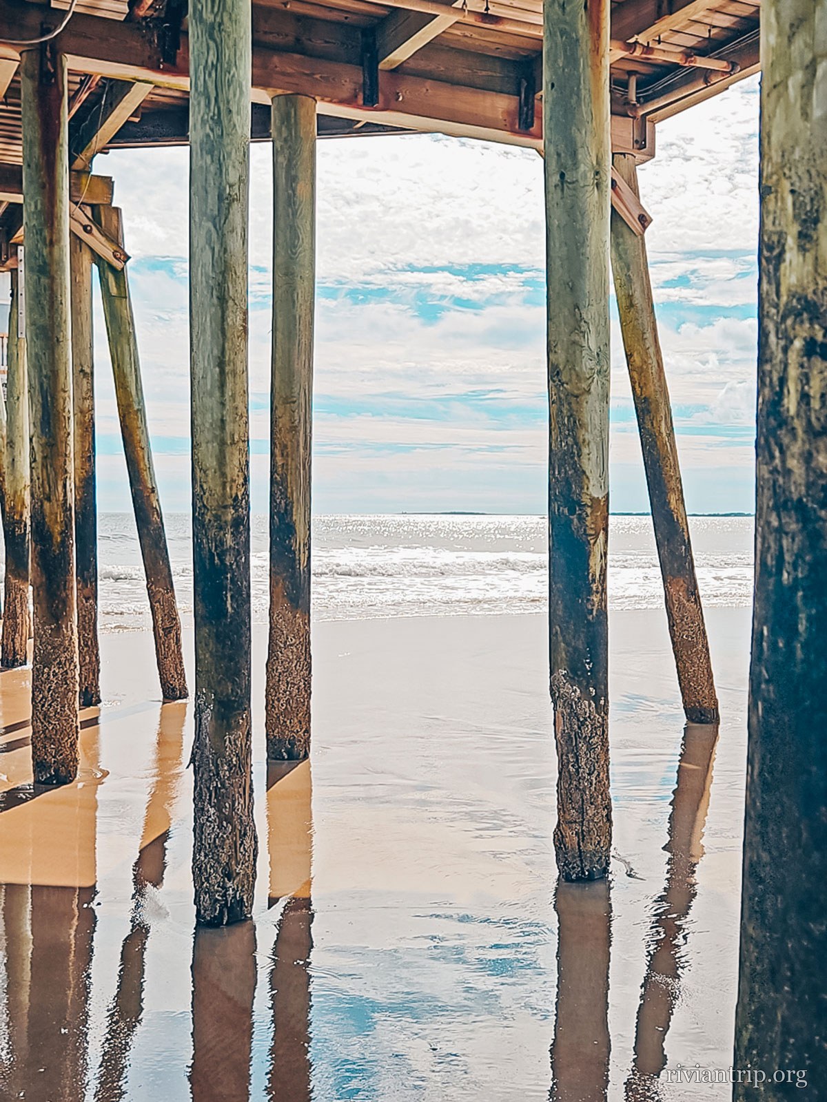
The forest of pilings beneath the pier
Under the pier
The beach at Old Orchard Beach and its pier on stilts

The pier

First opened in 1898, when the train brought the holidaymakers.
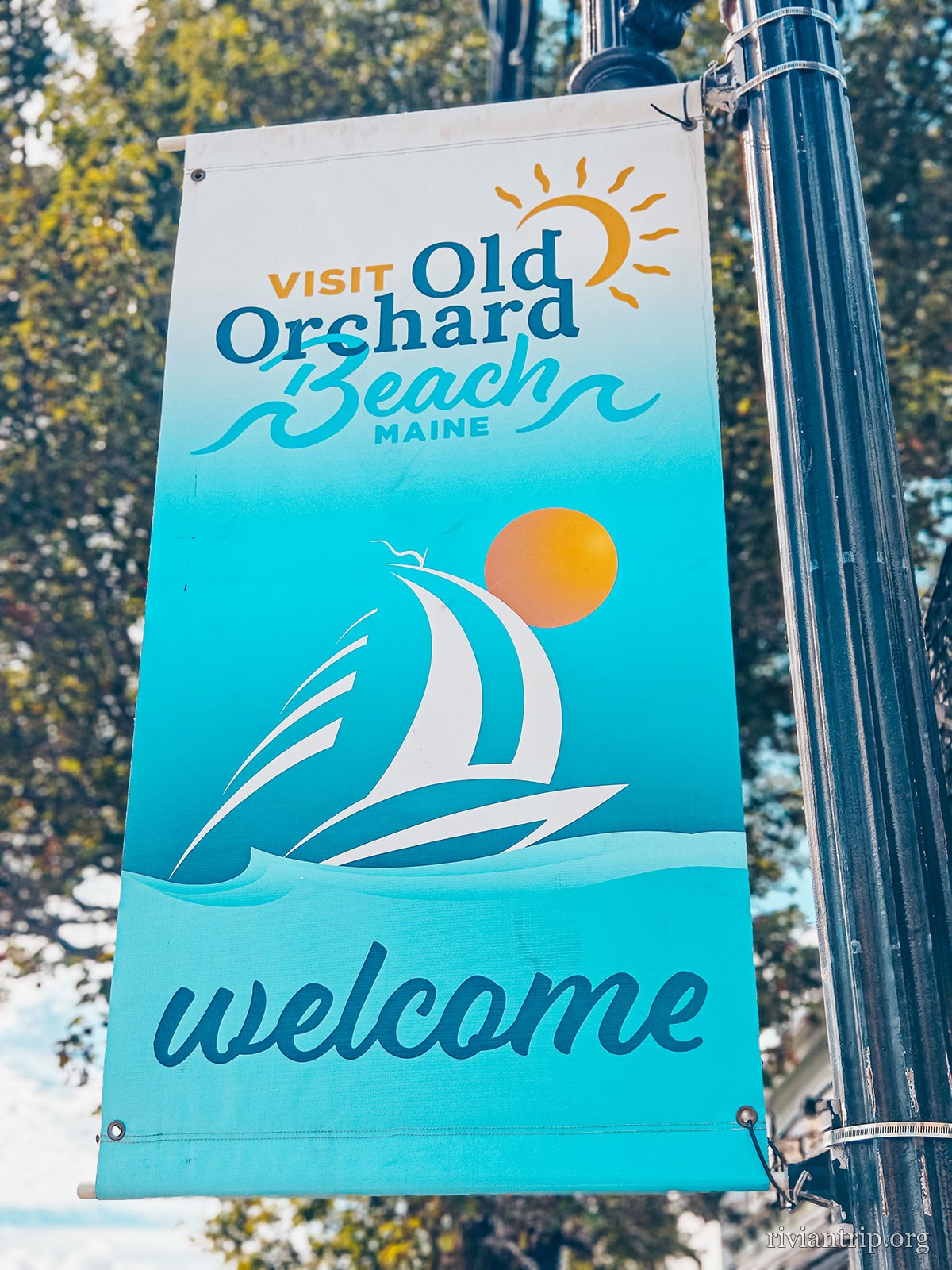
The town
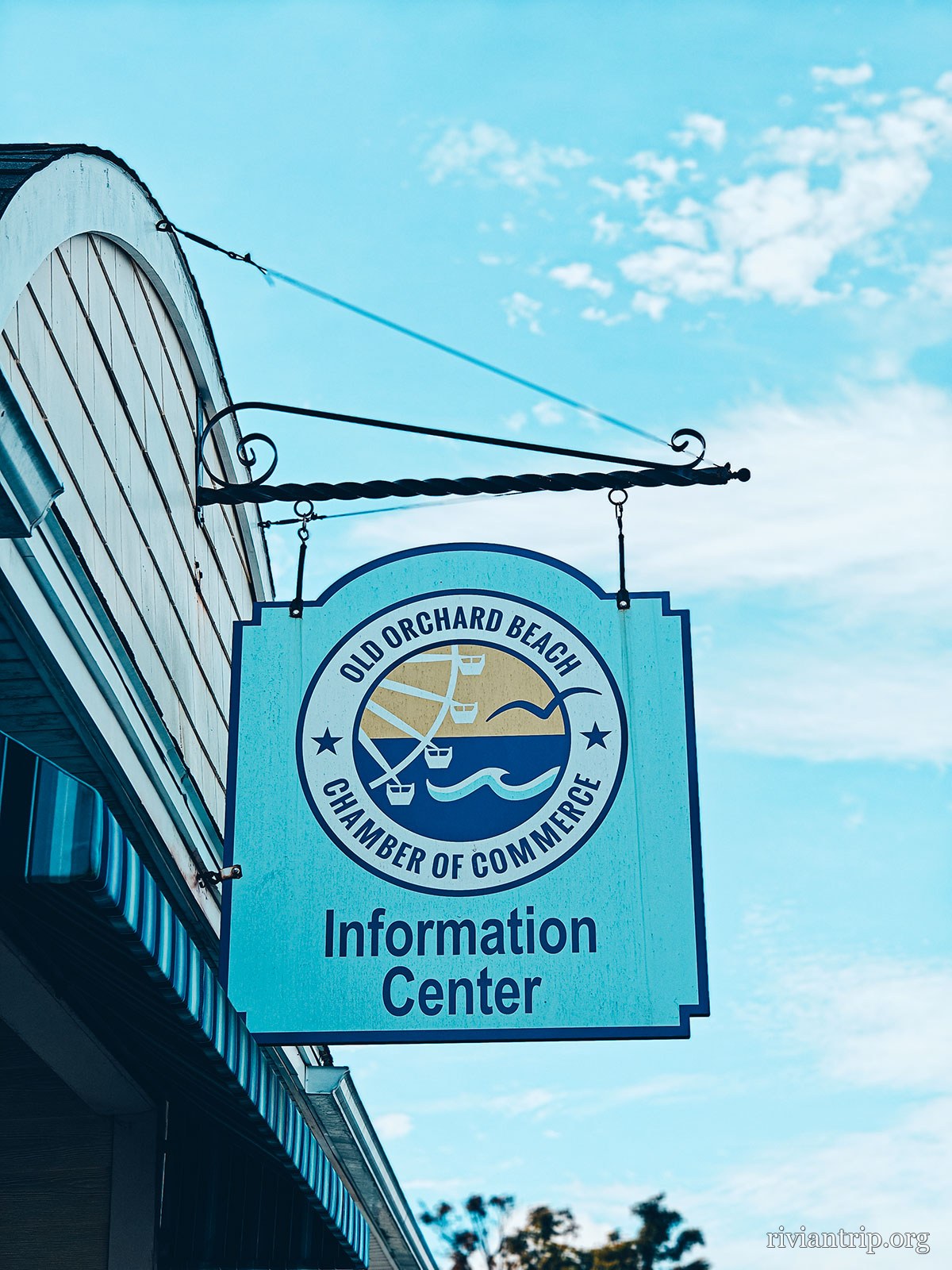
The banner “Visit Old Orchard Beach · welcome”
Old Orchard Beach
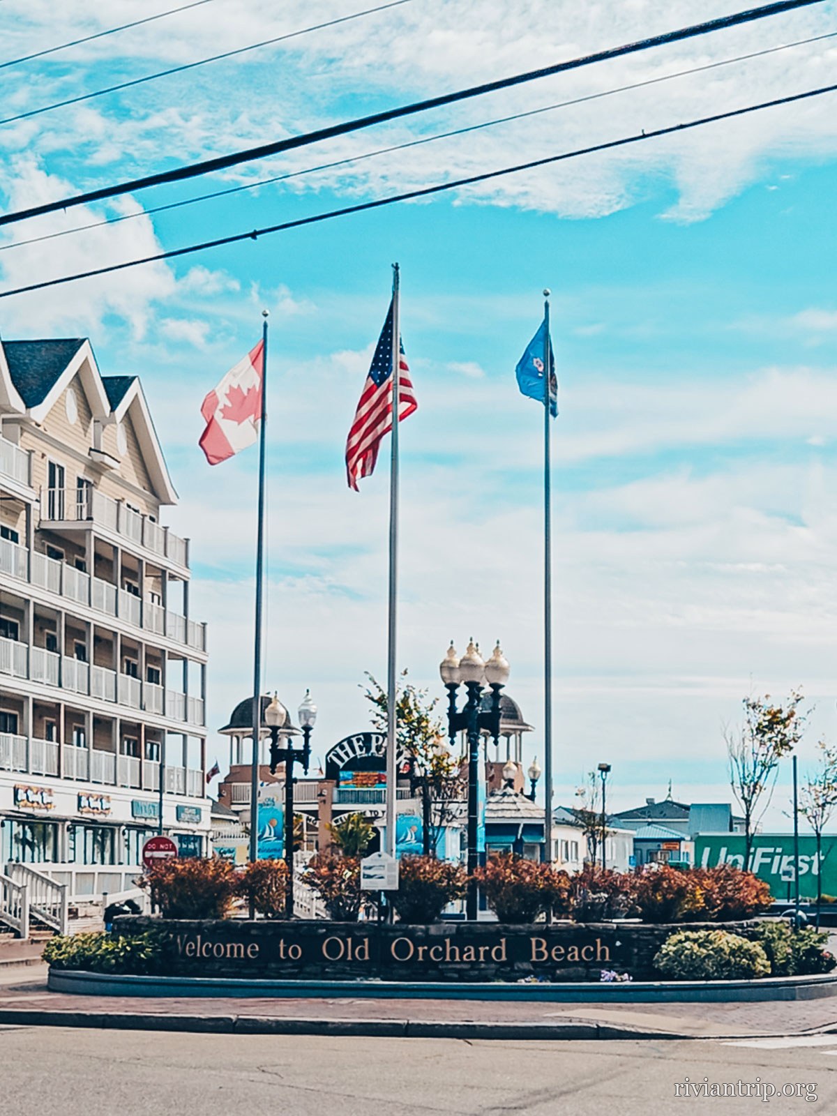
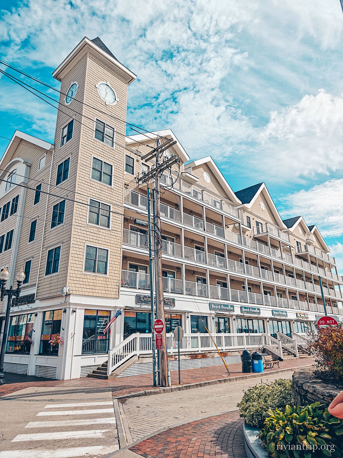
The streets of Old Orchard Beach, along the shore
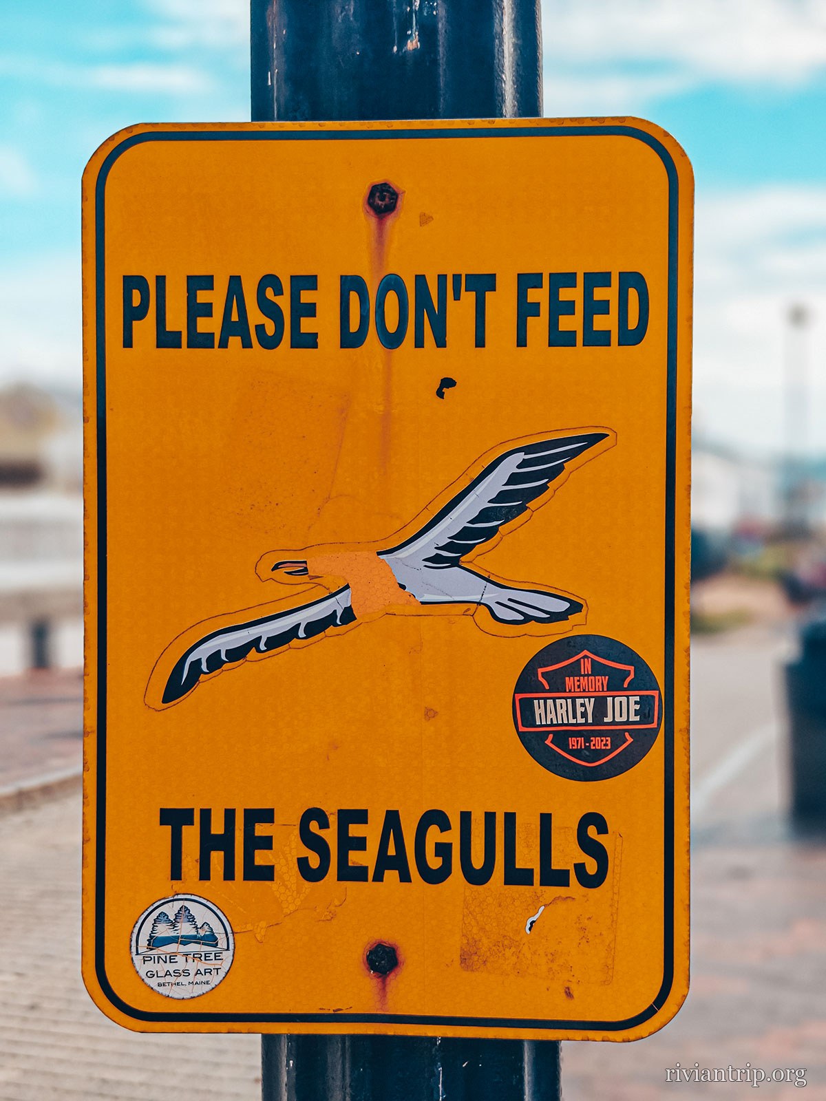
An orange sign: “Please don’t feed the seagulls”
Do not feed the seagulls
The streets of Old Orchard Beach, along the shore
The entrance to The Pier and its boardwalk
The streets of Old Orchard Beach, along the shore

“Please don’t feed the seagulls”, says the sign. It has its reasons.

Out of season

The beach is almost empty: what is left is the pier on its pilings, the sound of the waves and the sea wind.
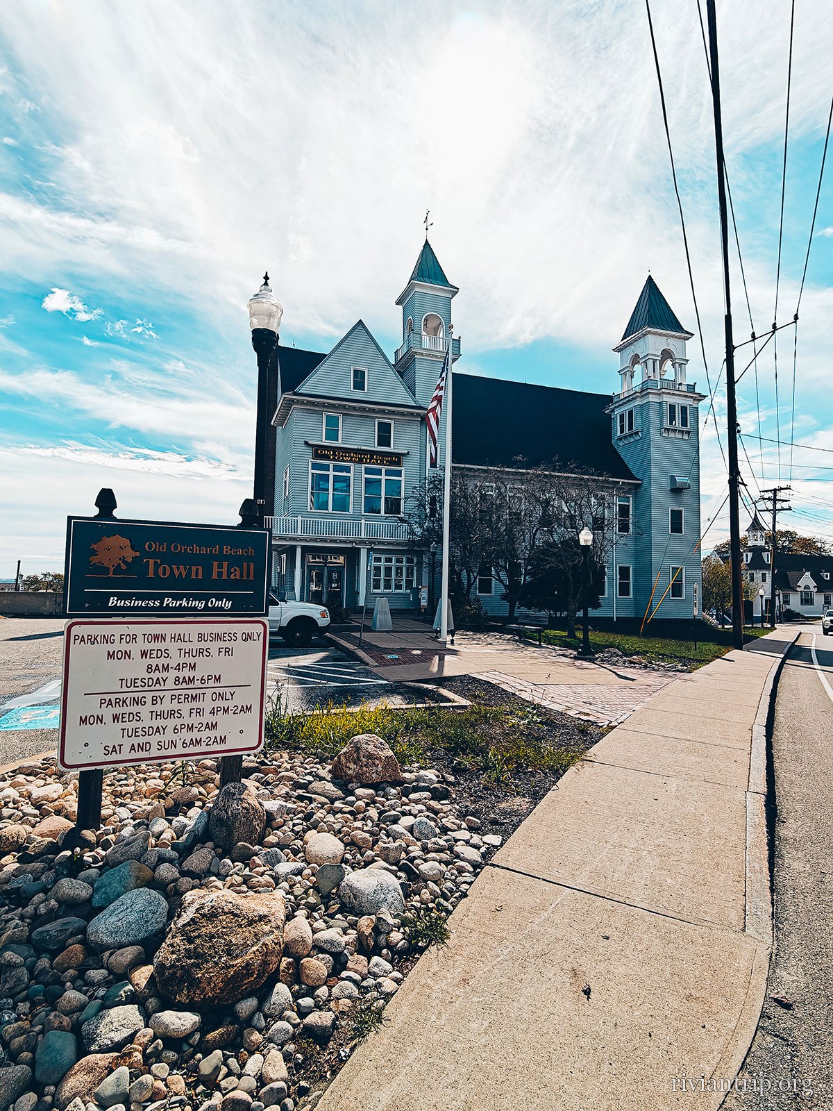
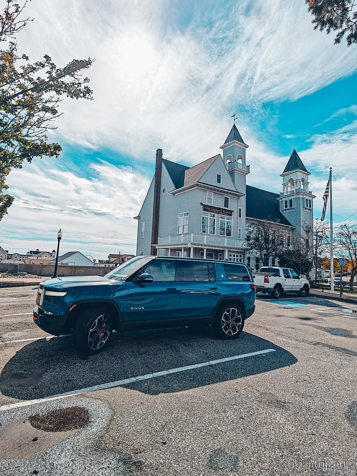
The big houses
The big wooden houses of Old Orchard Beach
A large white Victorian house with a turret
Clapboard and turrets
The big wooden houses of Old Orchard Beach
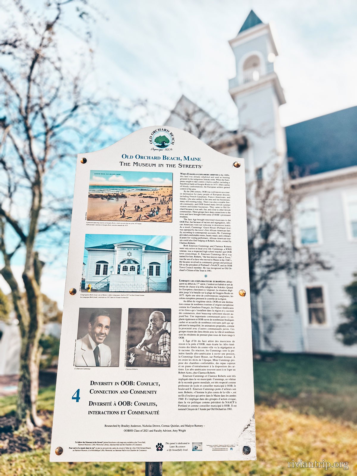
An interpretive panel in front of a historic house

Clapboard

Turrets, porches, painted shingles: the seaside architecture of the late nineteenth century.

03

Cape Elizabeth

the wild shore
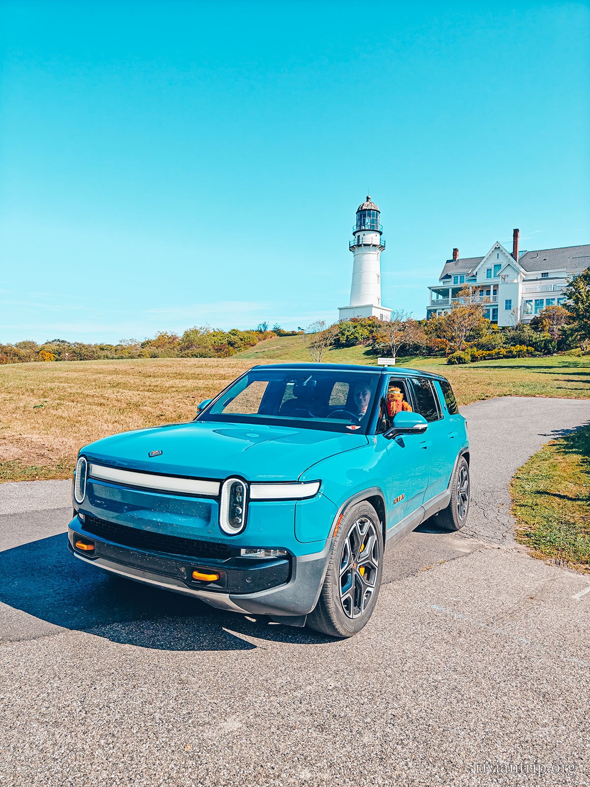
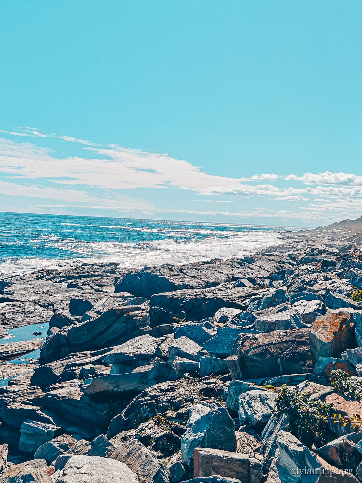
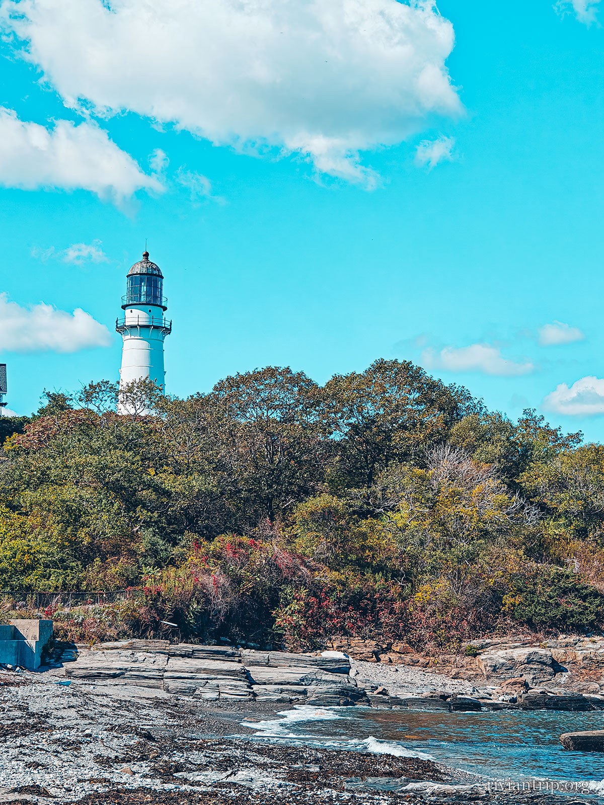
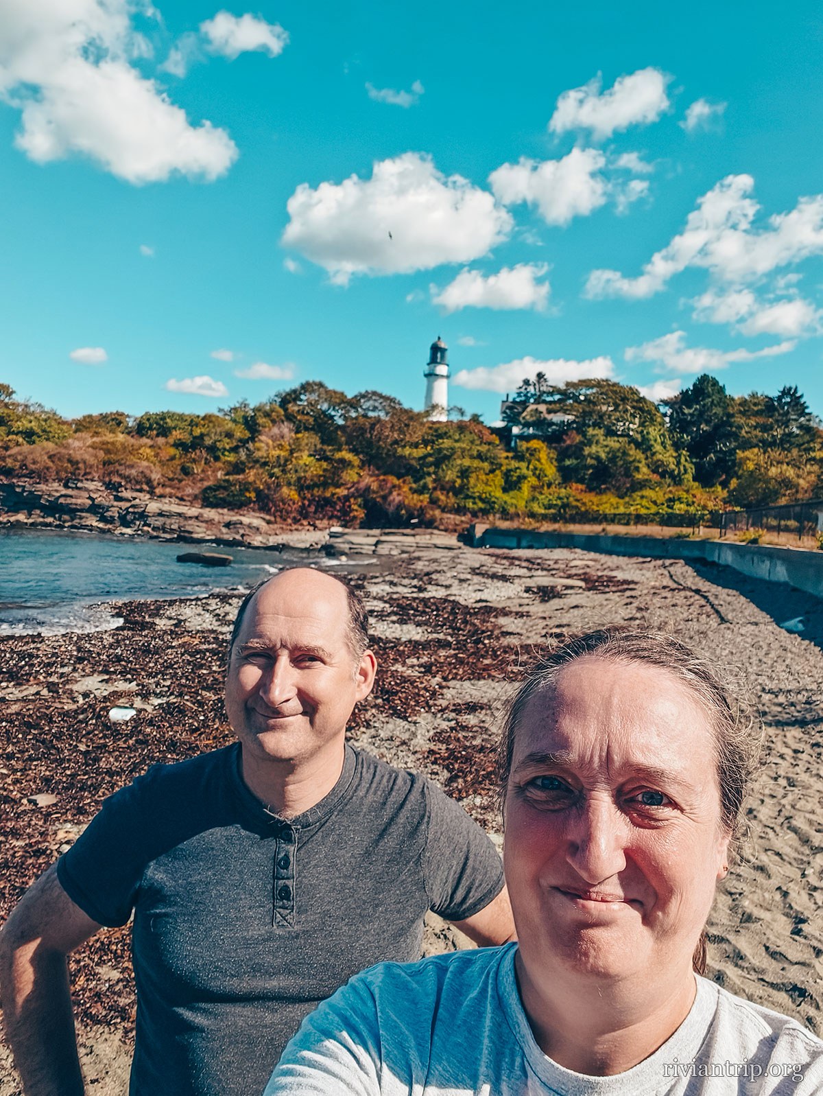
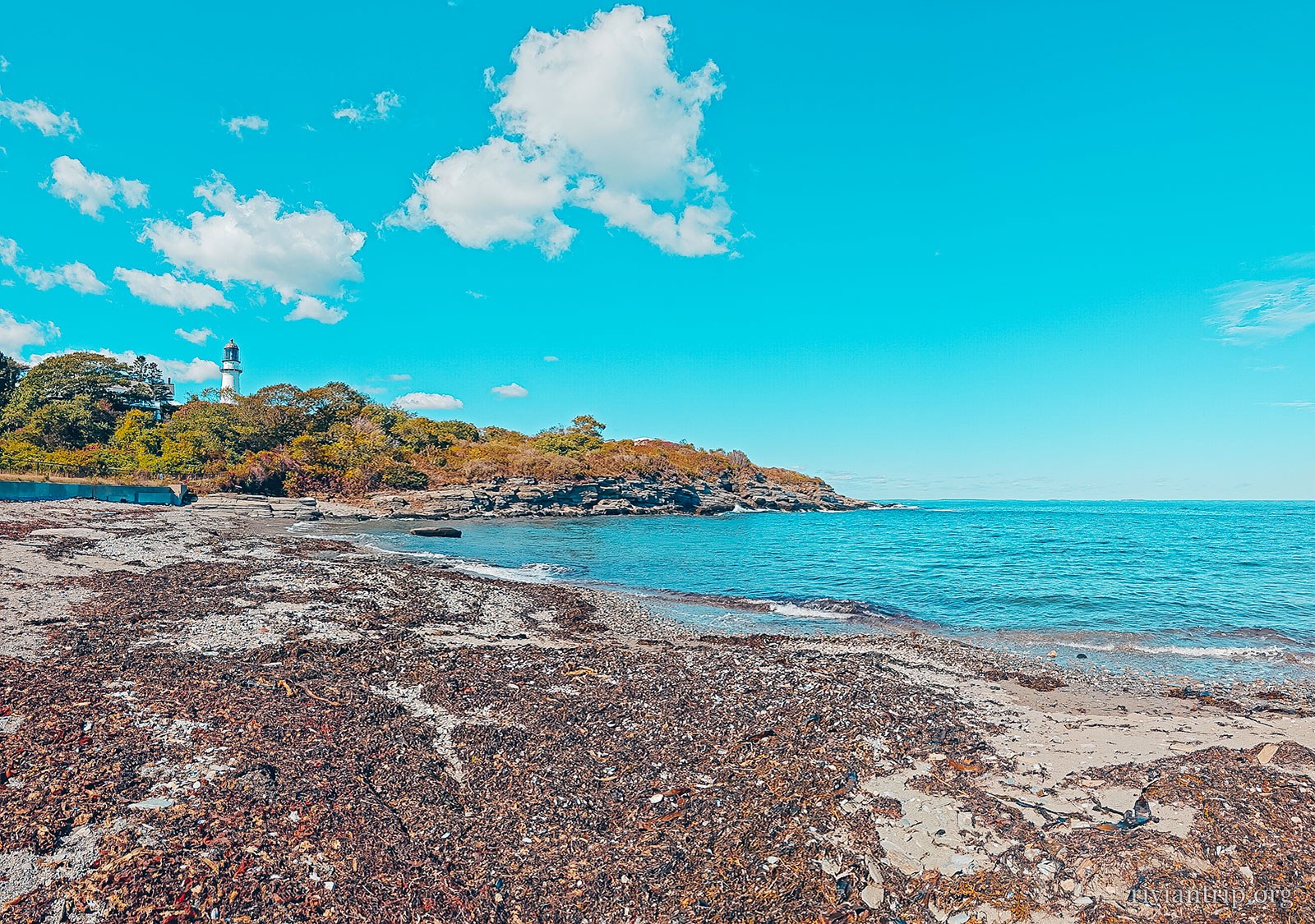
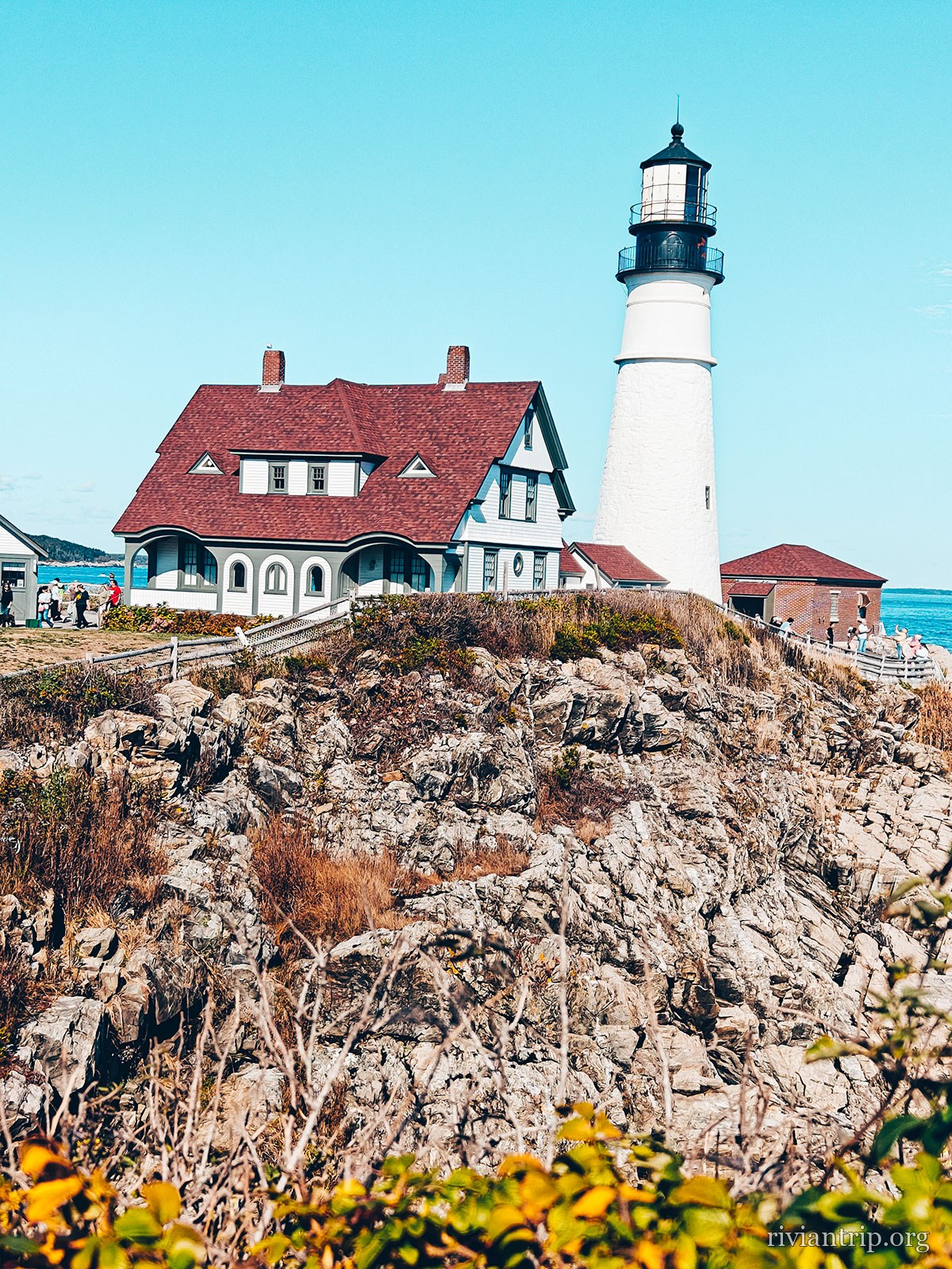
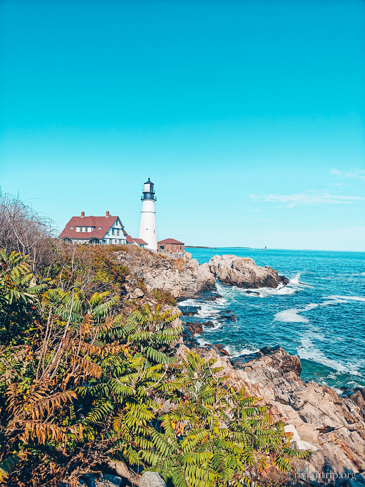
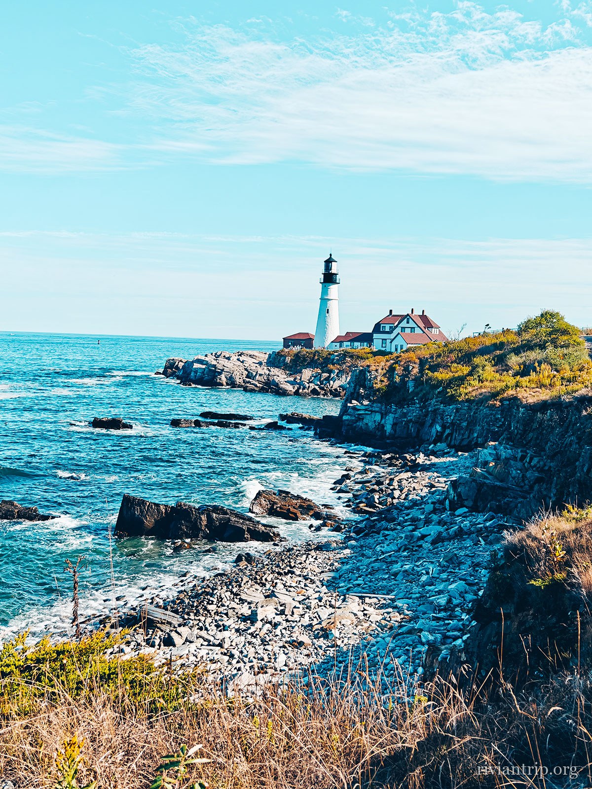
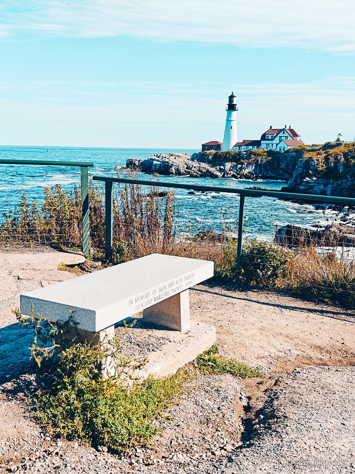
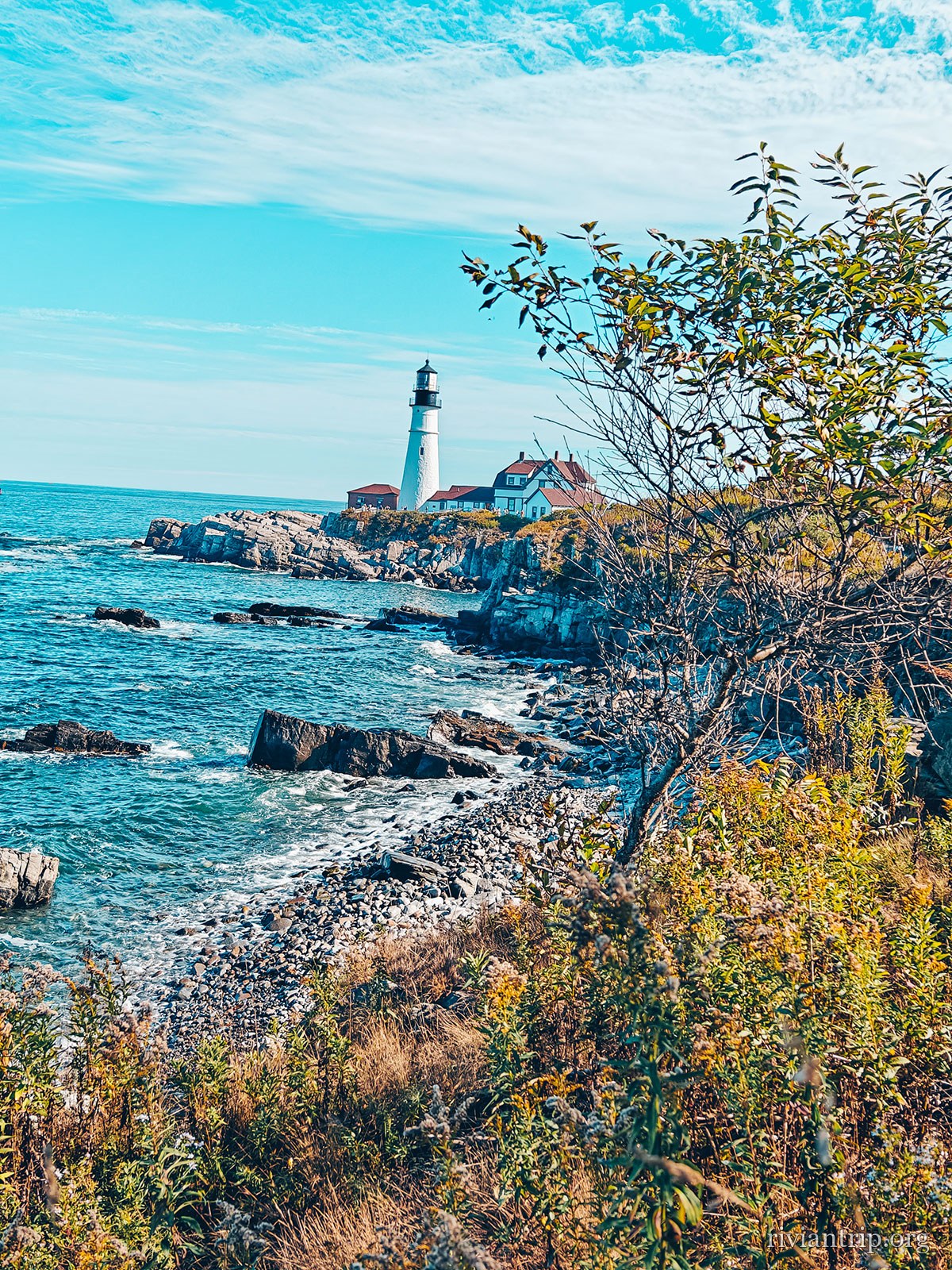
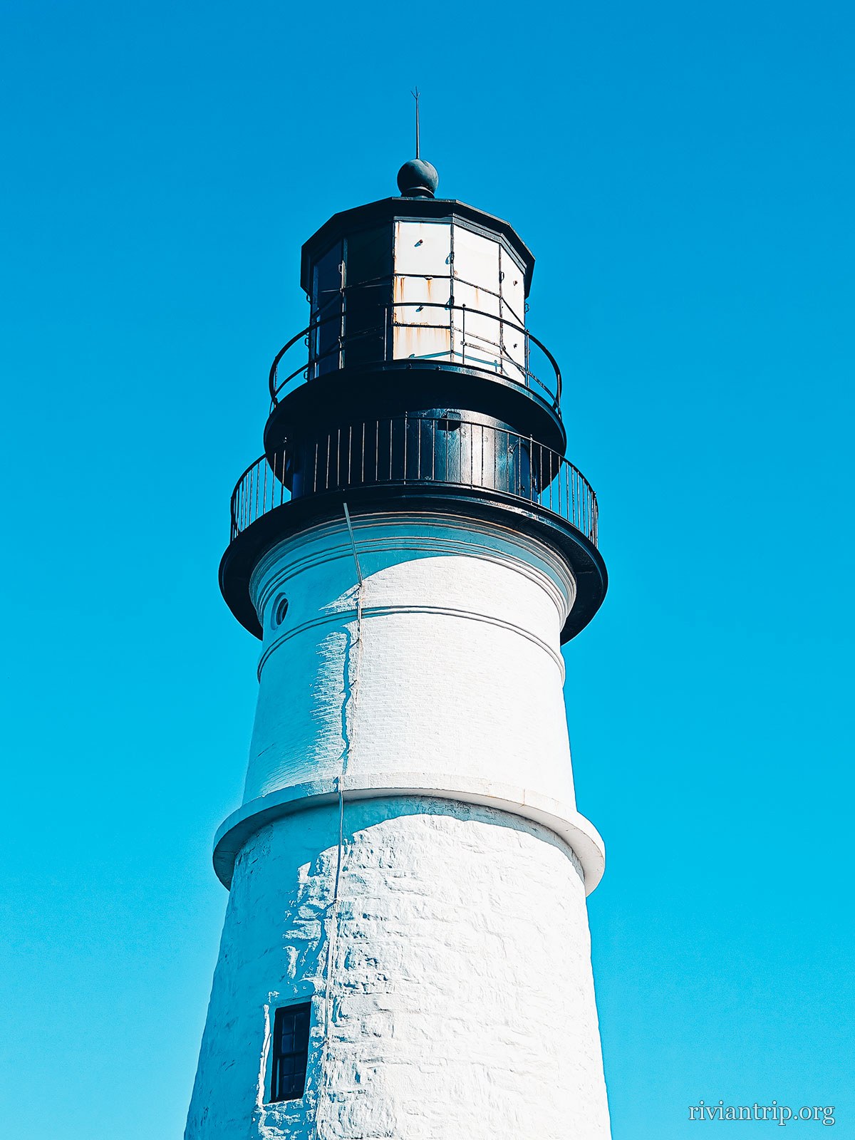
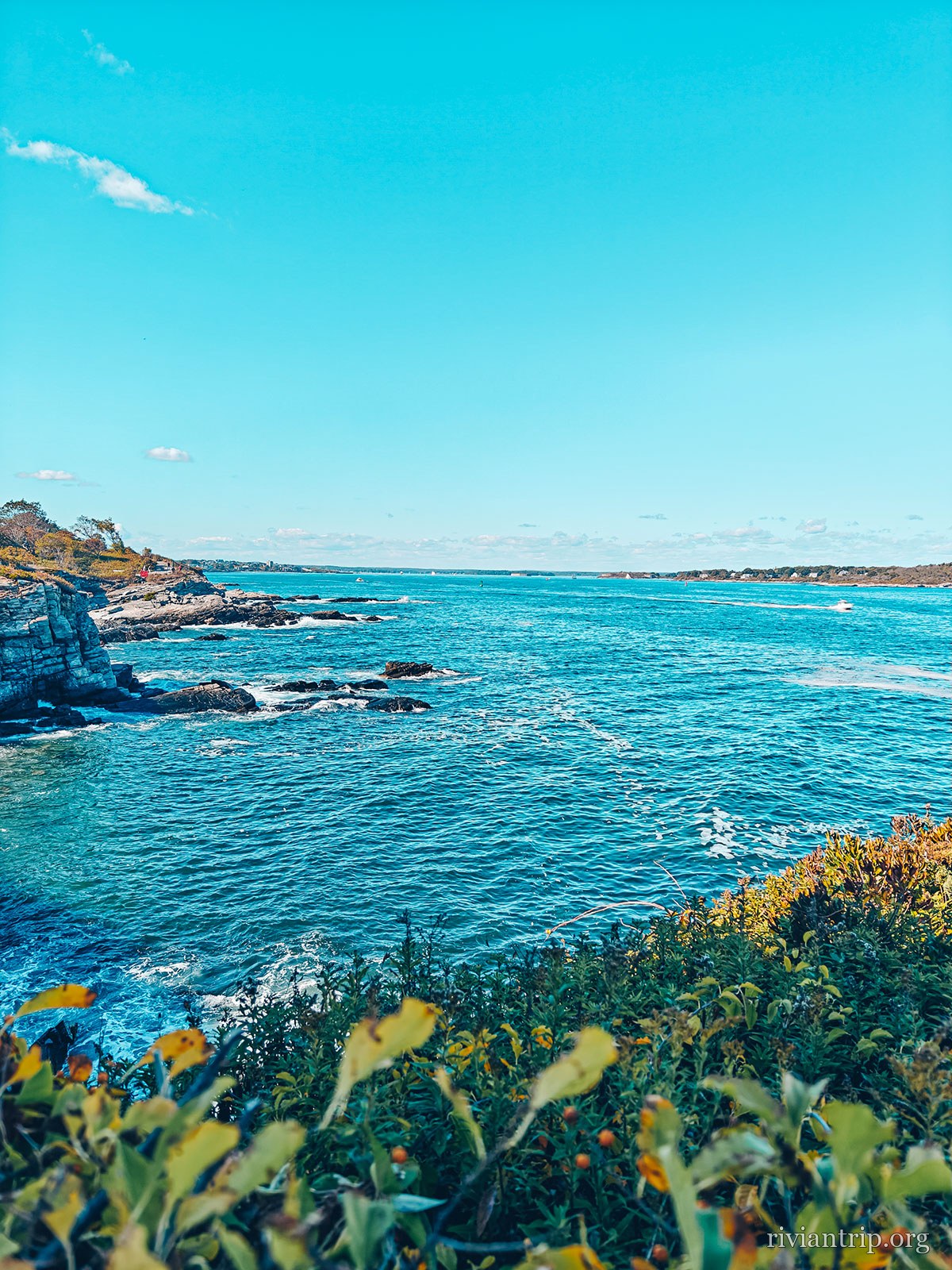
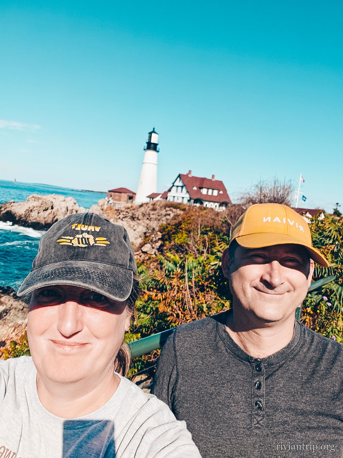
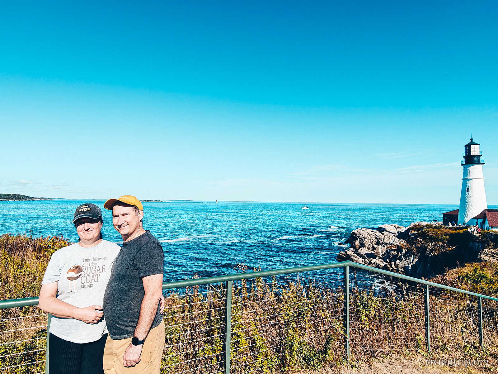
Carrying on towards Portland, we took a detour through Cape Elizabeth. The coast here becomes far wilder. The rocks plunge into the ocean and the waves break against the cliffs. In the middle of this landscape stands Portland Head Light, one of the most famous lighthouses in New England. The lighthouse is a real symbol of the region, with its commanding architecture and its strategic position. Built in 1791, when Maine was still part of Massachusetts, it is the oldest lighthouse in the state. Its position at the mouth of Portland Harbor, facing the open sea and Casco Bay, explains the strategic importance it long held for shipping. The contrast between the lighthouse stone, the dark rocks and the vastness of the ocean is particularly striking.
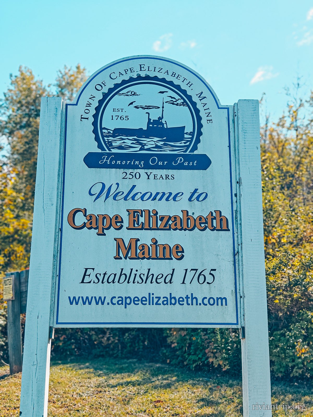
The sign “Welcome to Cape Elizabeth · Established 1765”
Cape Elizabeth, 1765
The rocky shore of Cape Elizabeth and its lighthouse
The flat rocks of the point, washed by the sea
The Cape Elizabeth light tower above the rocks
Two Lights
The rocky shore of Cape Elizabeth and its lighthouse

The light

1791

Built in 1791, when Maine was still part of Massachusetts — the oldest in the state.

Cape Elizabeth

Established 1765

The rock drops straight into the Atlantic

The open sea

Nothing stops the east wind: it comes off the Atlantic without having touched land.

04

Portland, Maine

Portland Head Light · Bug Light · downtown
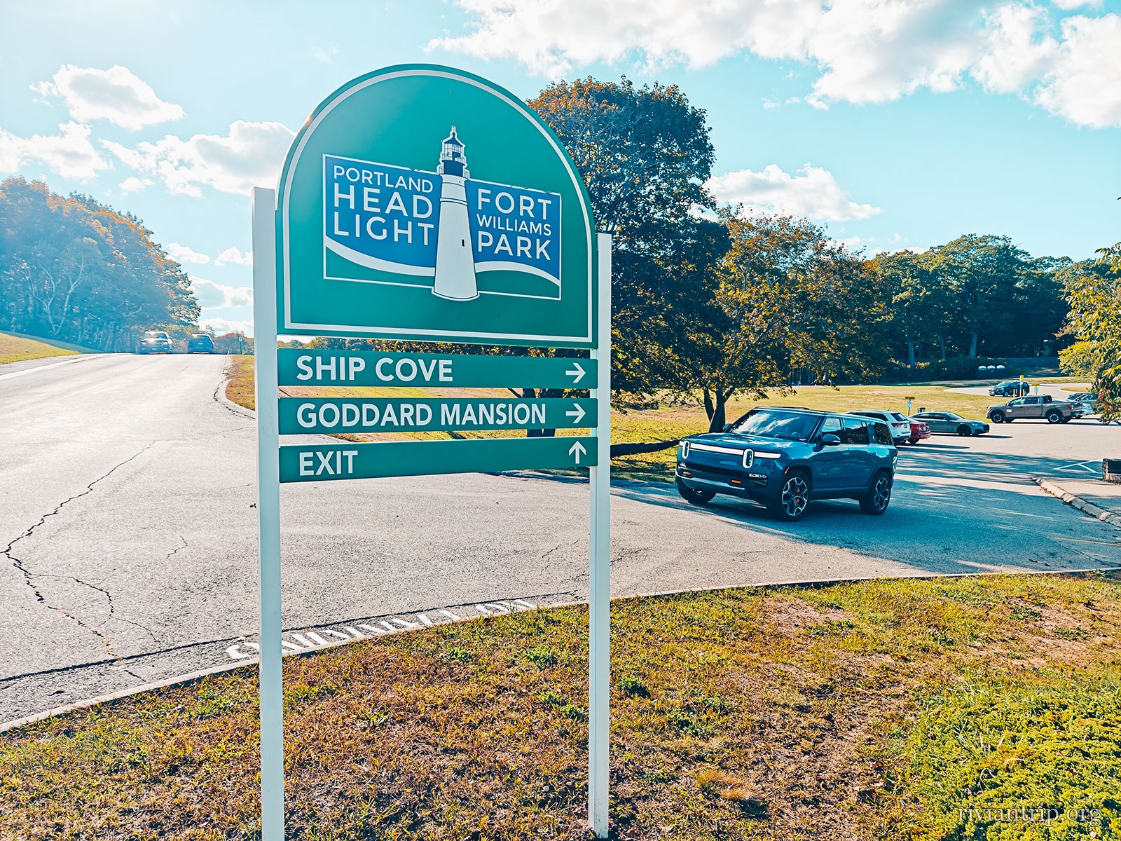
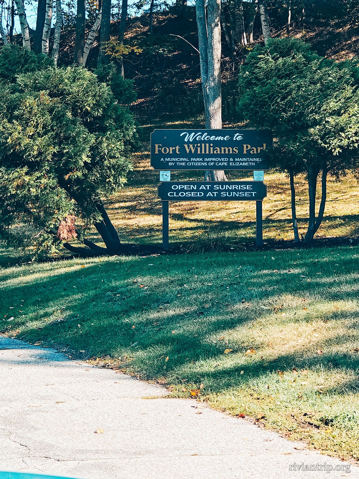
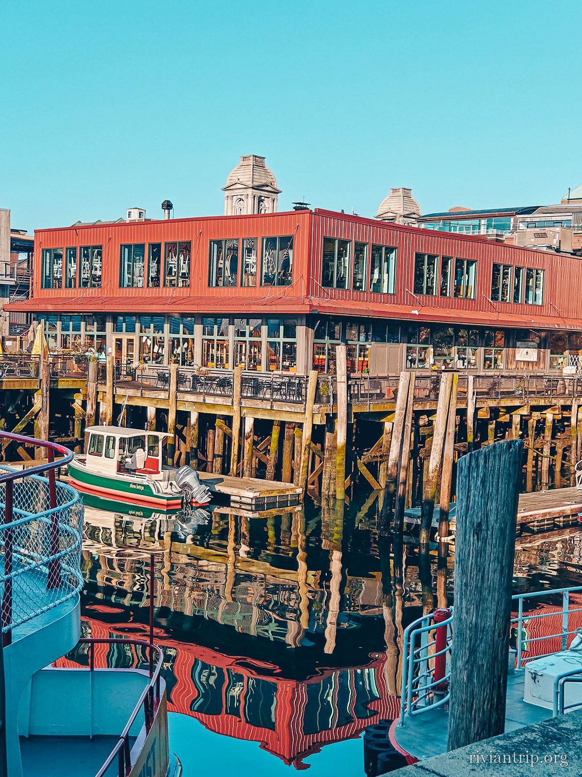
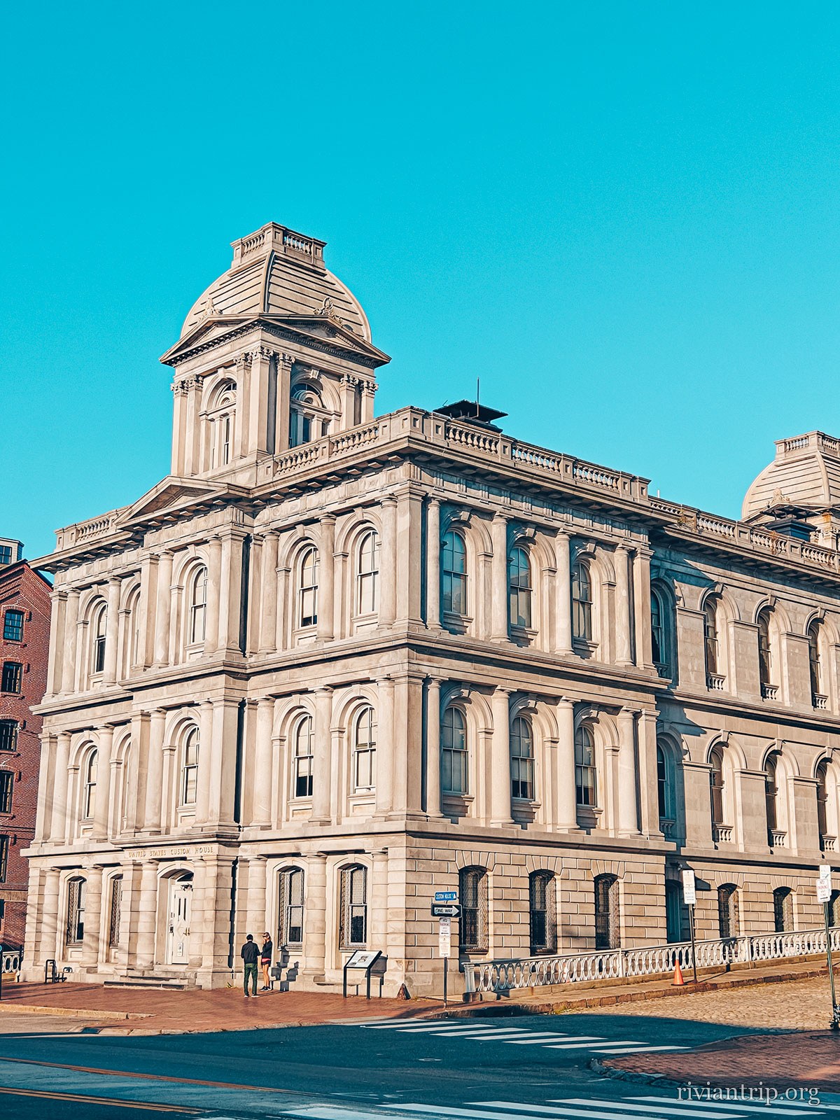
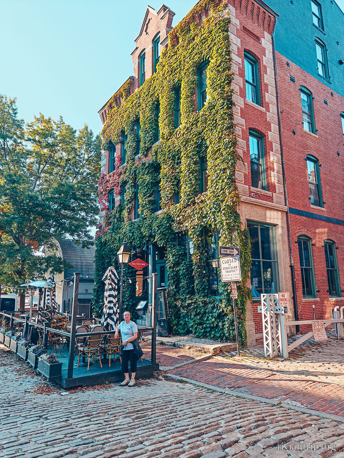
We finally reach Portland, Maine. The city has that atmosphere typical of the old port towns of New England: brick buildings, former commercial fronts, sloping streets and above all the constant presence of the harbour. Portland grew up around its maritime trade. Even today the waterfront keeps that identity, with its wharves, its boats and its former industrial buildings turned into restaurants, shops and places to walk. We took our time discovering the city, walking near the port and enjoying that particular sea air. But Portland has another small monument worth the detour.
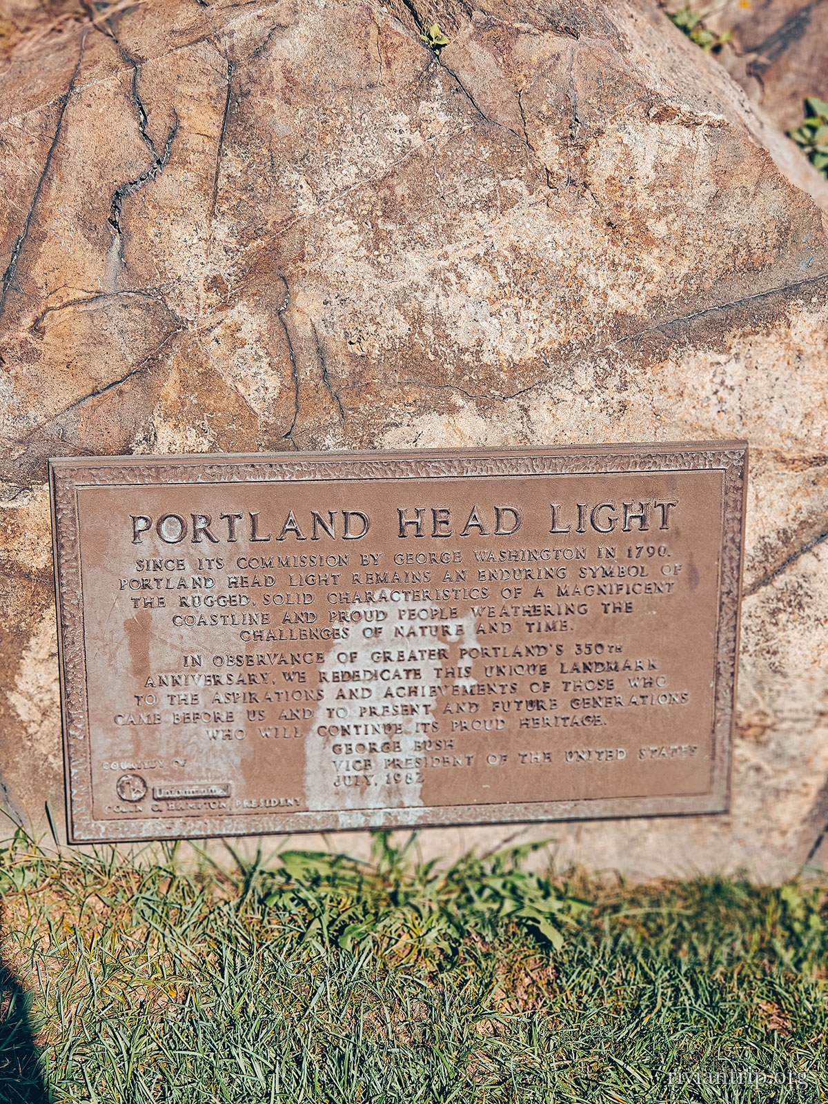
Portland Head Light
The sign for Portland Head Light and Fort Williams Park
Fort Williams Park
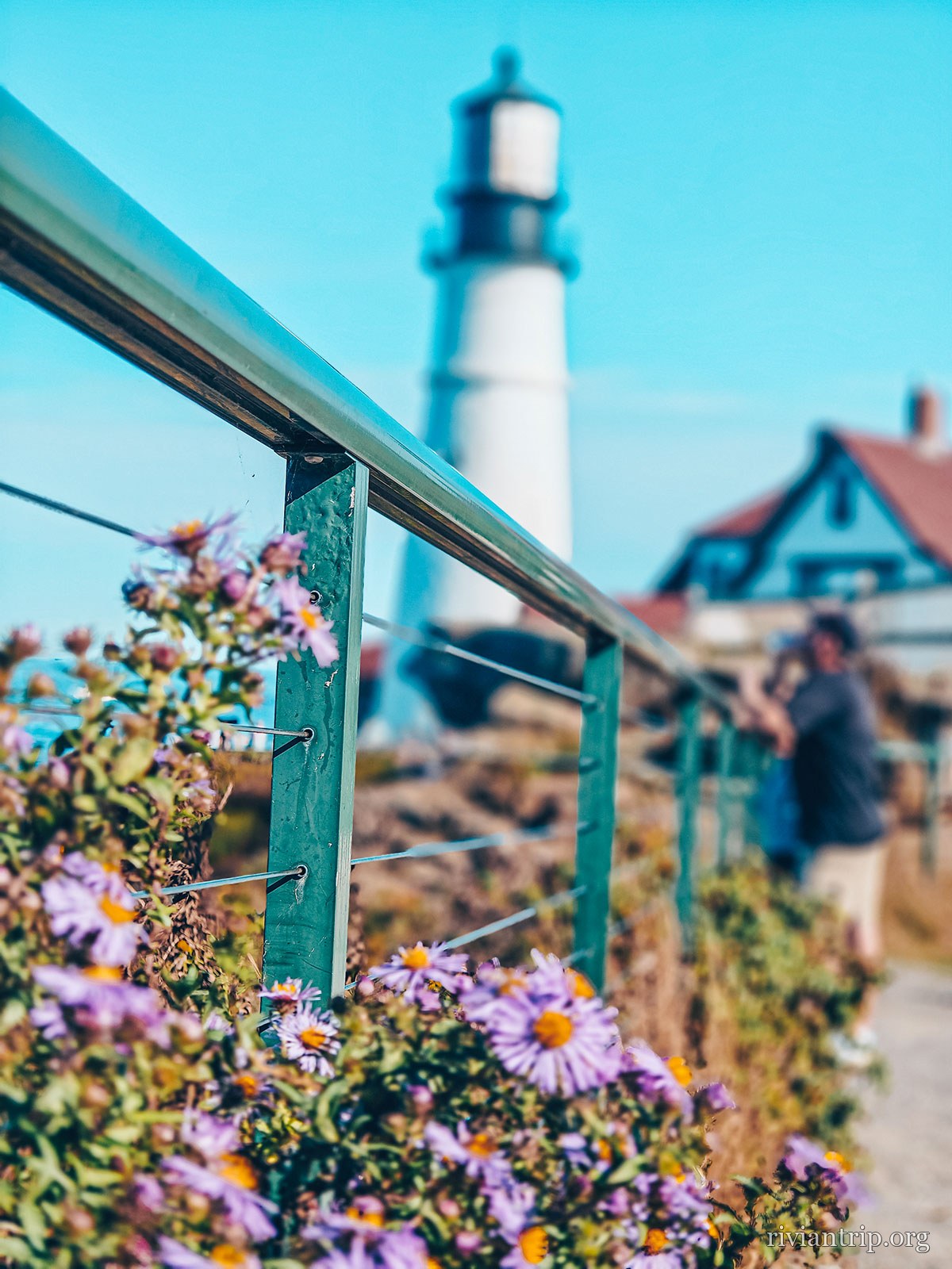
Portland Head Light and Fort Williams Park, in Cape Elizabeth
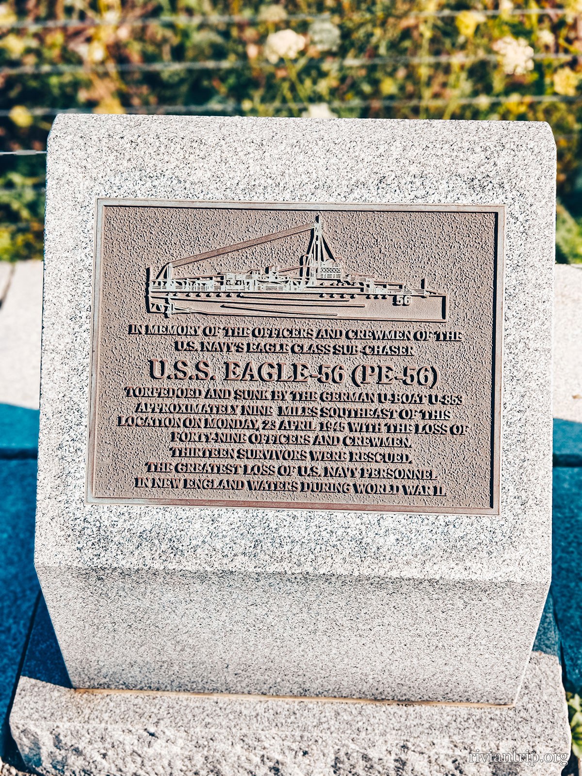
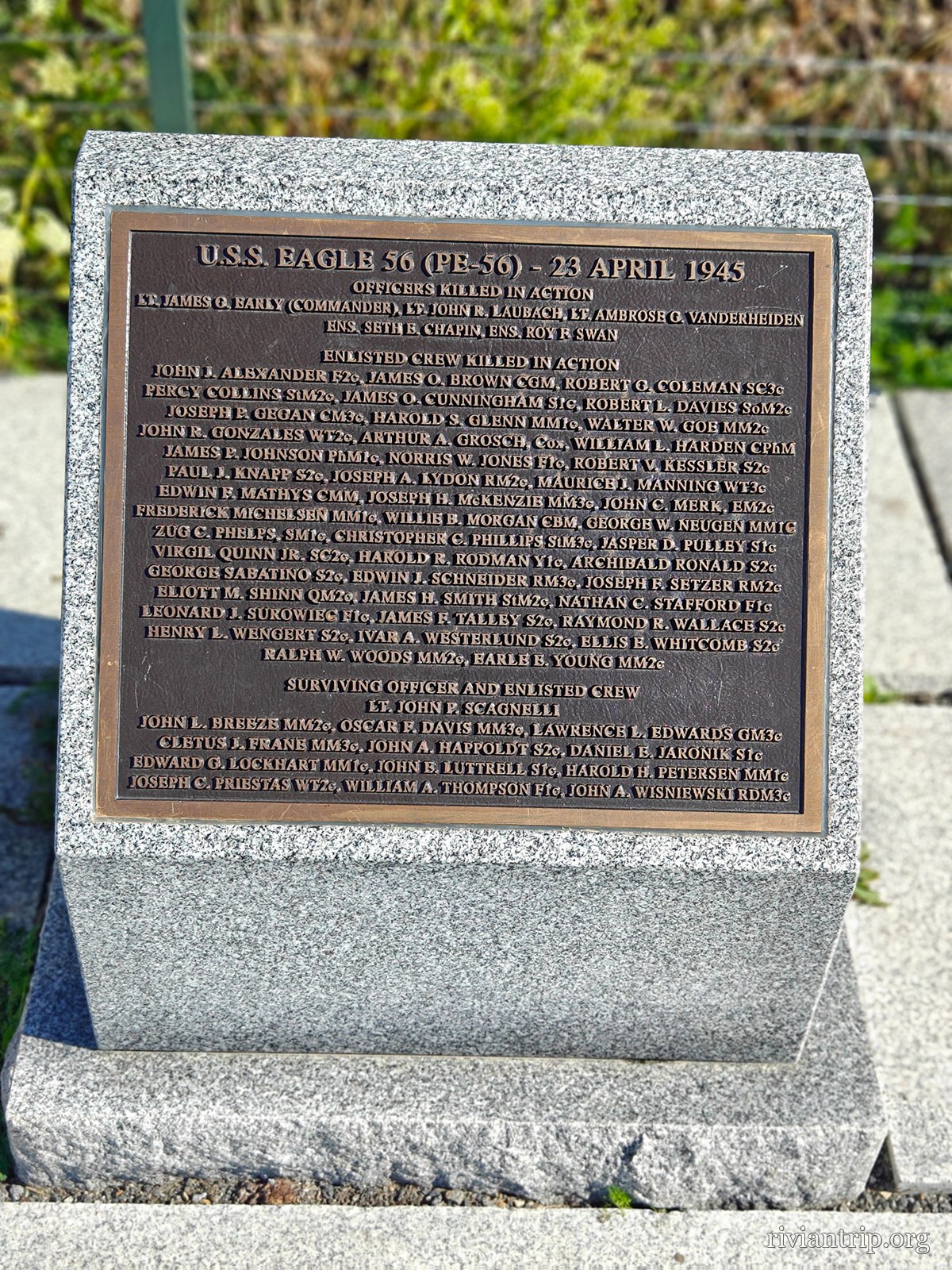
The granite memorial to the loss of U.S.S. Eagle 56
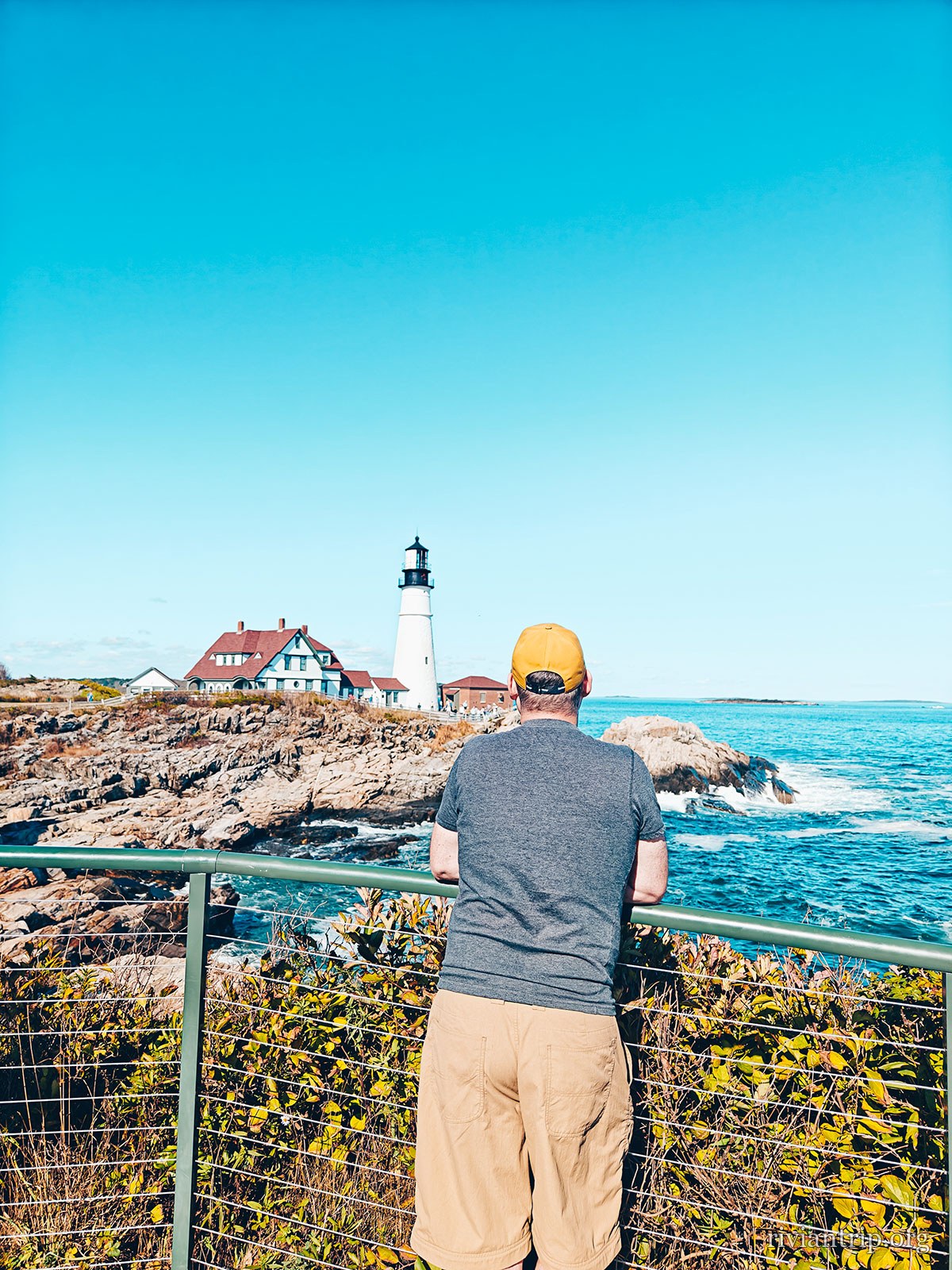
The white tower and the red-roofed keeper’s house on the rock
Portland Head Light, 1791
Portland Head Light and Fort Williams Park, in Cape Elizabeth
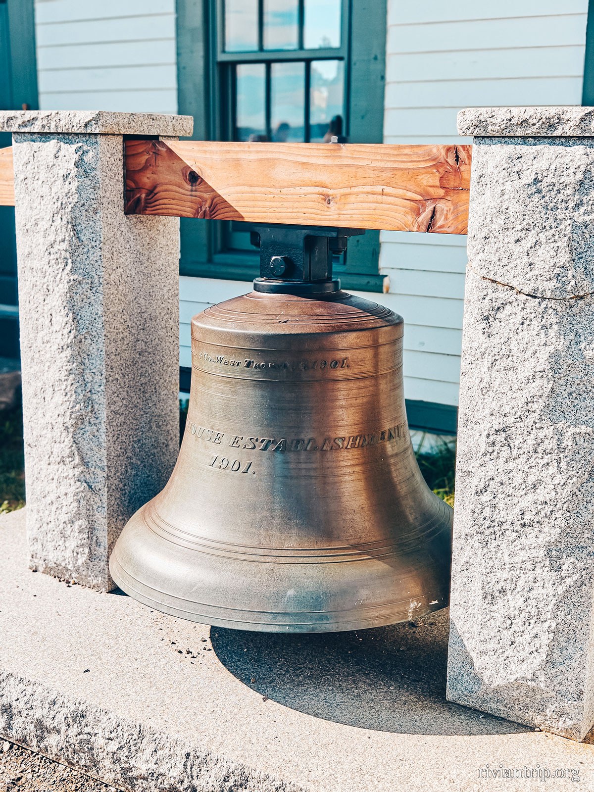
The lighthouse fog bell hanging in its wooden frame
The fog bell
Portland Head Light and Fort Williams Park, in Cape Elizabeth
The black lantern room seen from the foot of the tower
Portland Head Light and Fort Williams Park, in Cape Elizabeth
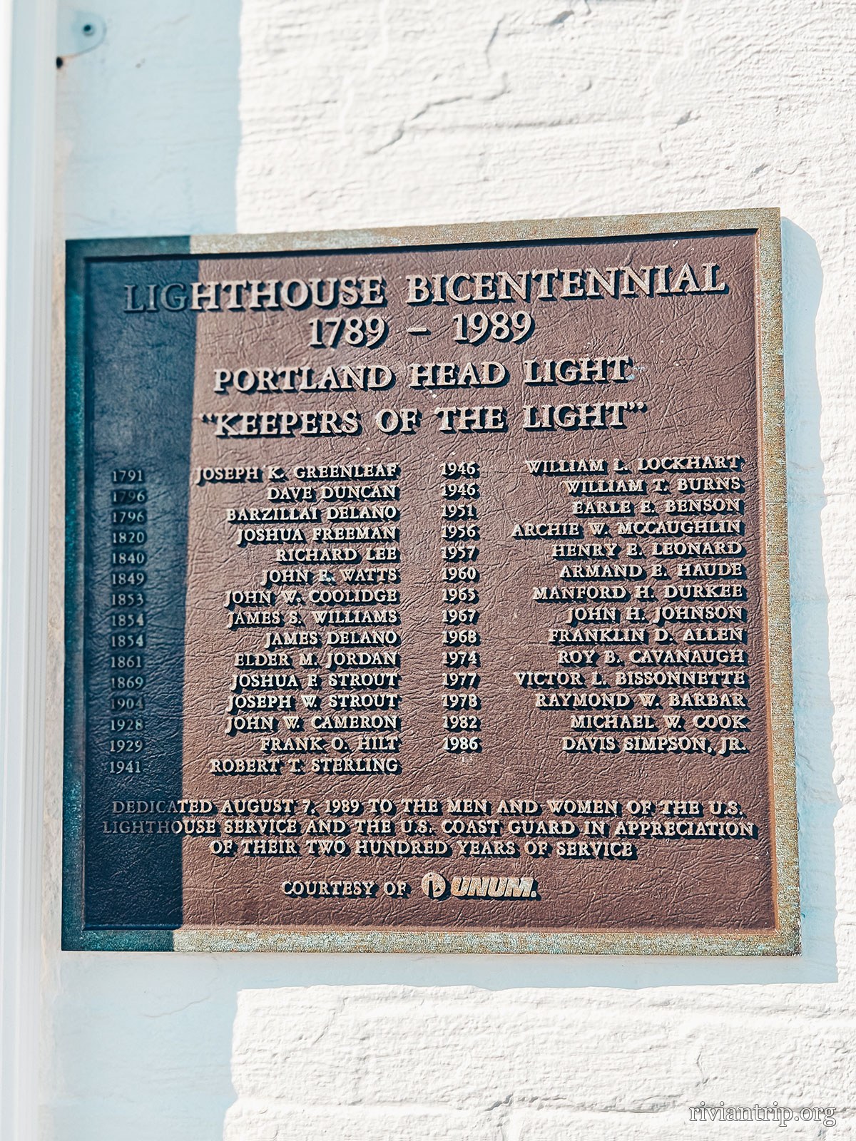
The bicentennial plaque, 1791–1991, “Keepers of the Light”
Two hundred years of keepers
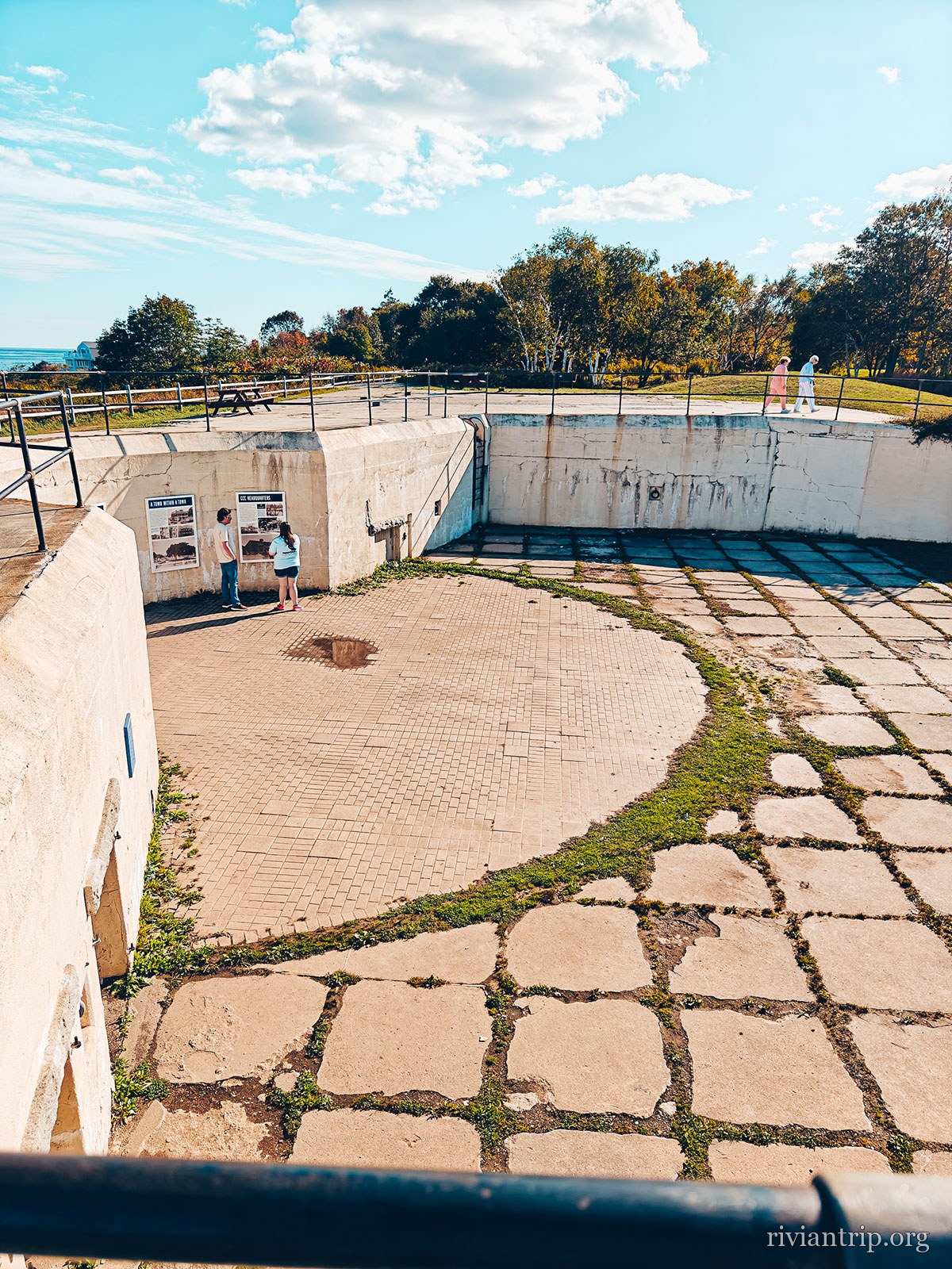
A concrete gun battery of the fort, open to the sea
The batteries of Fort Williams
Portland Head Light and Fort Williams Park, in Cape Elizabeth

Fort Williams

Coastal fort, now a park

Its concrete batteries still face the sea

The channel

At the mouth of Portland Harbor, facing Casco Bay: that is what made the lighthouse matter.
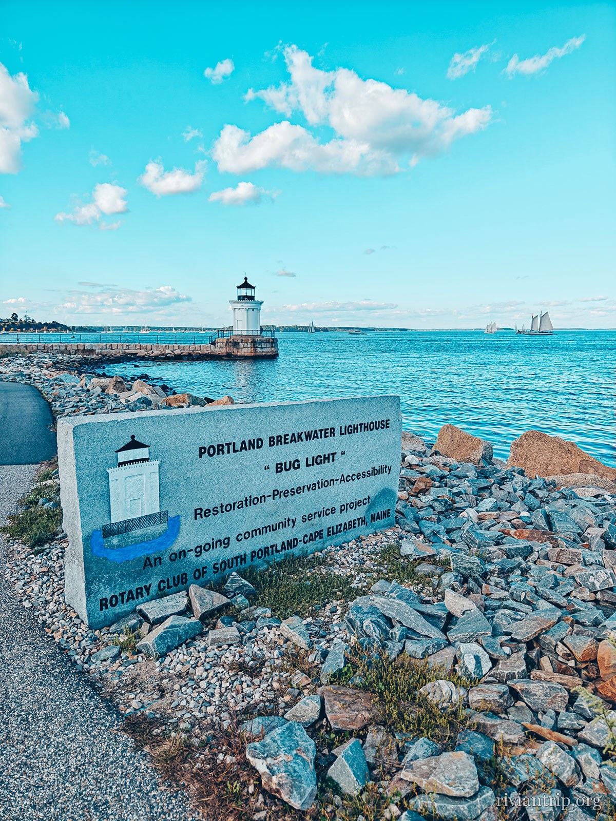
Bug Light
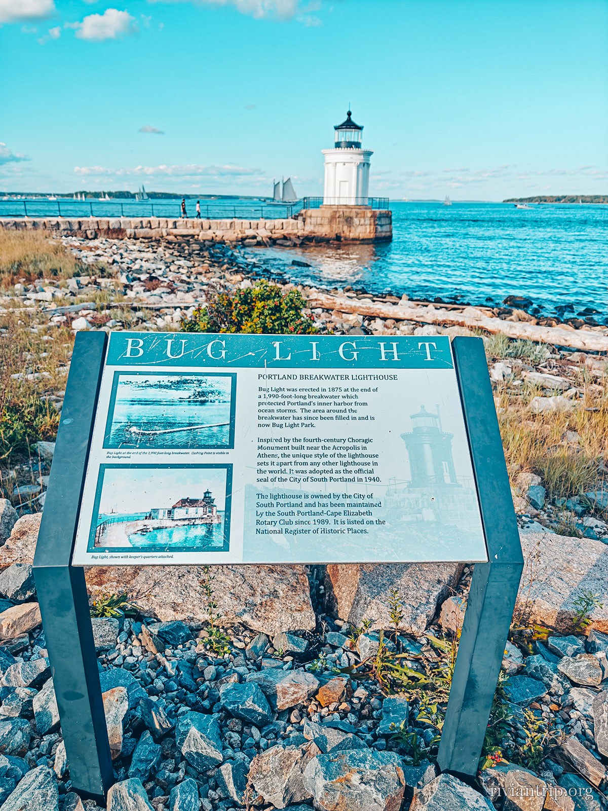
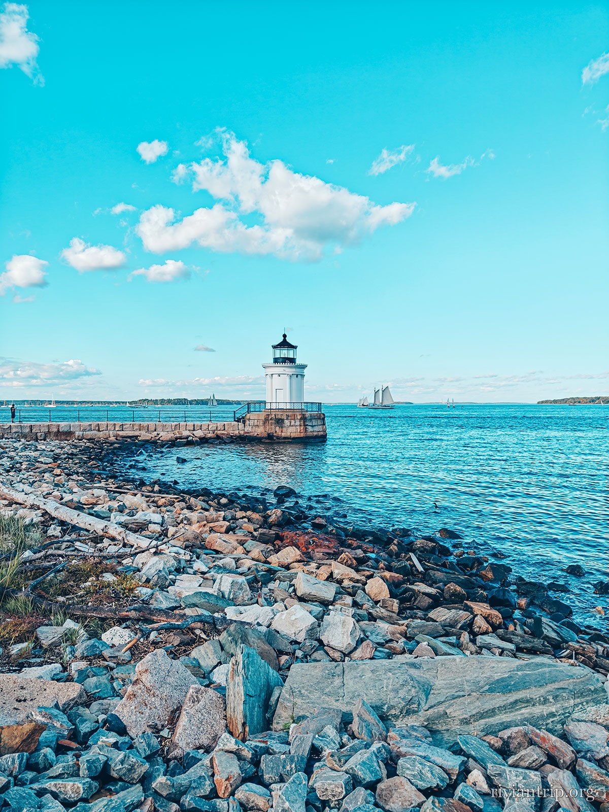
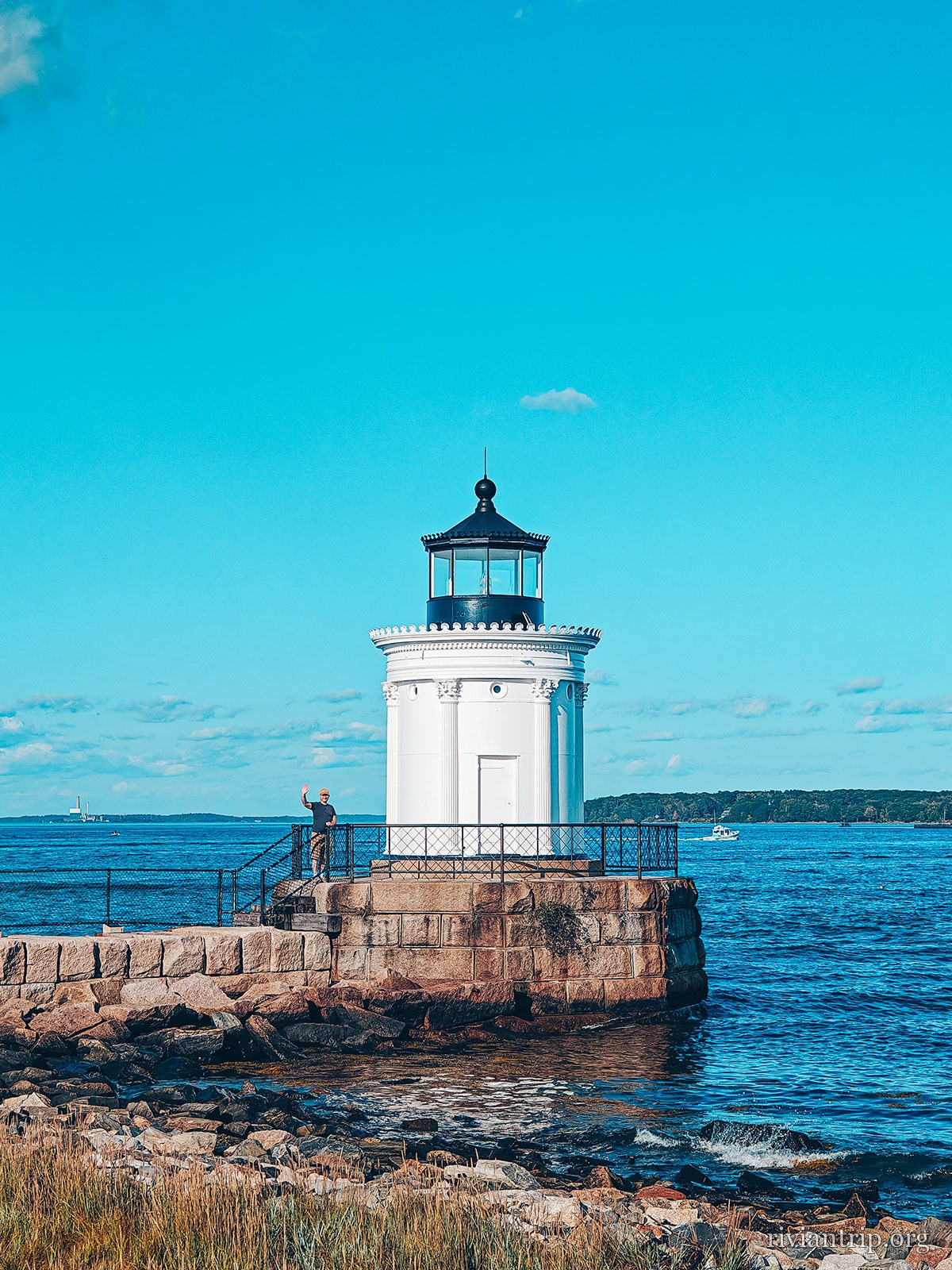
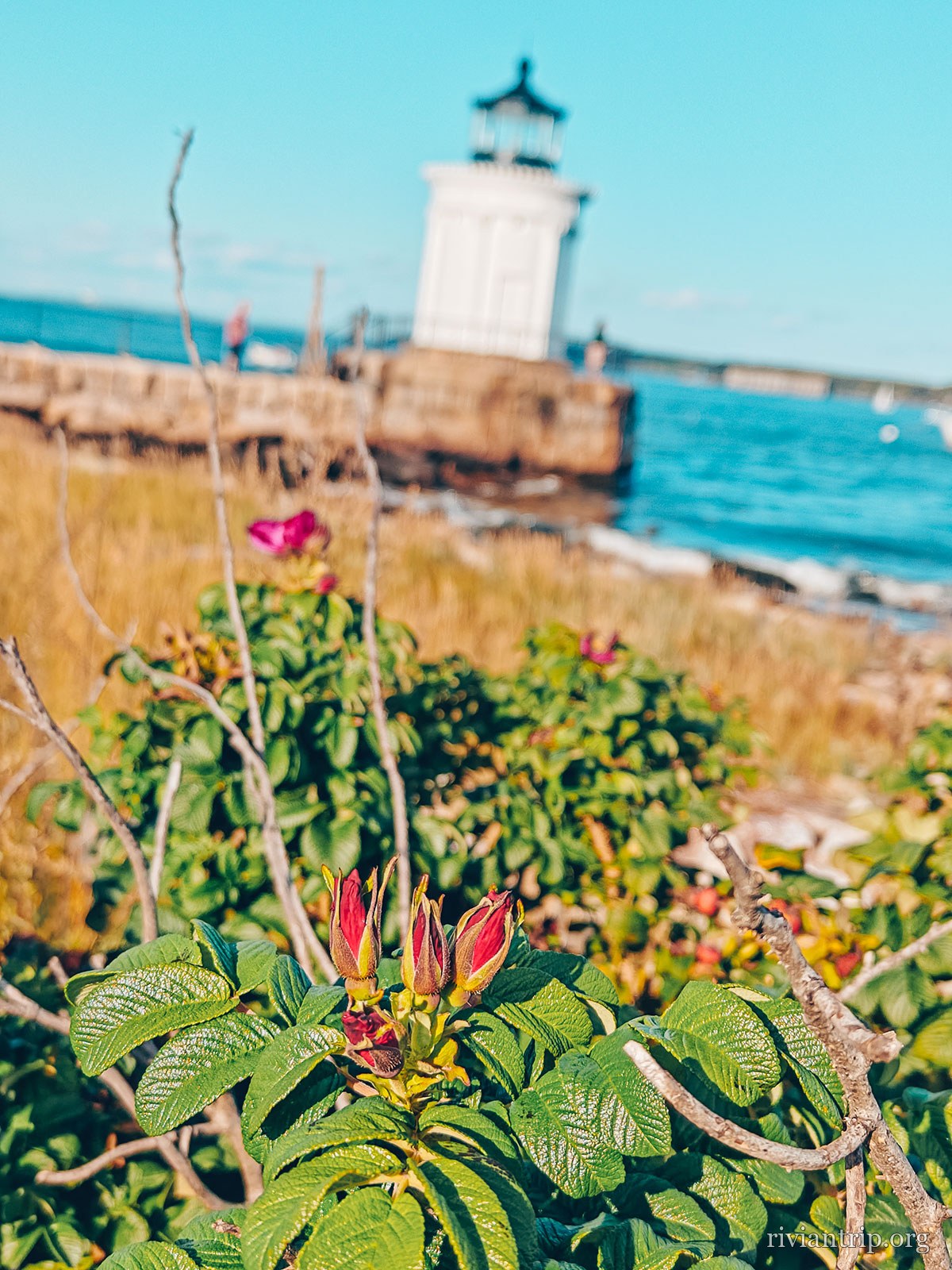
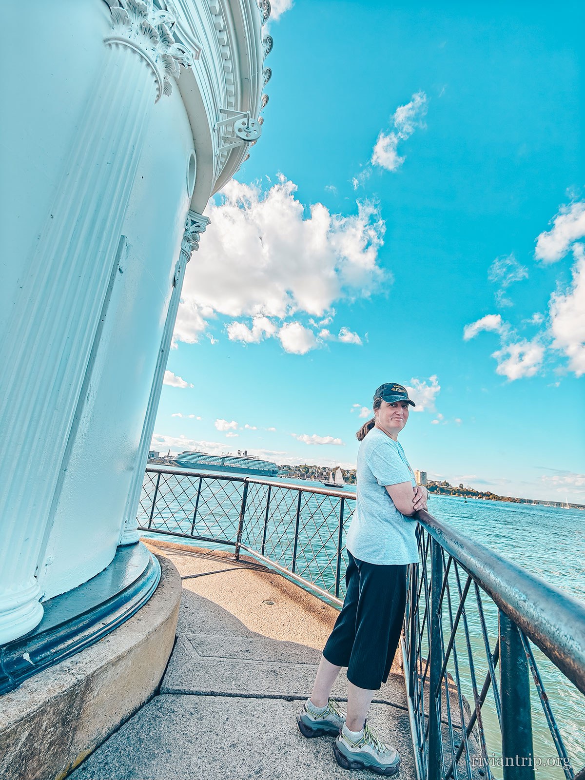
In South Portland stands the Portland Breakwater Light, nicknamed Bug Light. Far smaller than Portland Head Light, it sits at the end of an old breakwater protecting the harbour entrance. The present lighthouse dates from 1875 and its architecture takes its cue from a small ancient Greek monument, with its decorative cast iron columns. Two lighthouses, two entirely different silhouettes, but the same tie to Portland’s maritime history.
The interpretive sign for Portland Breakwater Lighthouse, known as Bug Light
Portland Breakwater Lighthouse · Bug Light
Bug Light, the small breakwater lighthouse in South Portland
The small white lighthouse at the end of its granite breakwater
Bug Light, the small breakwater lighthouse in South Portland
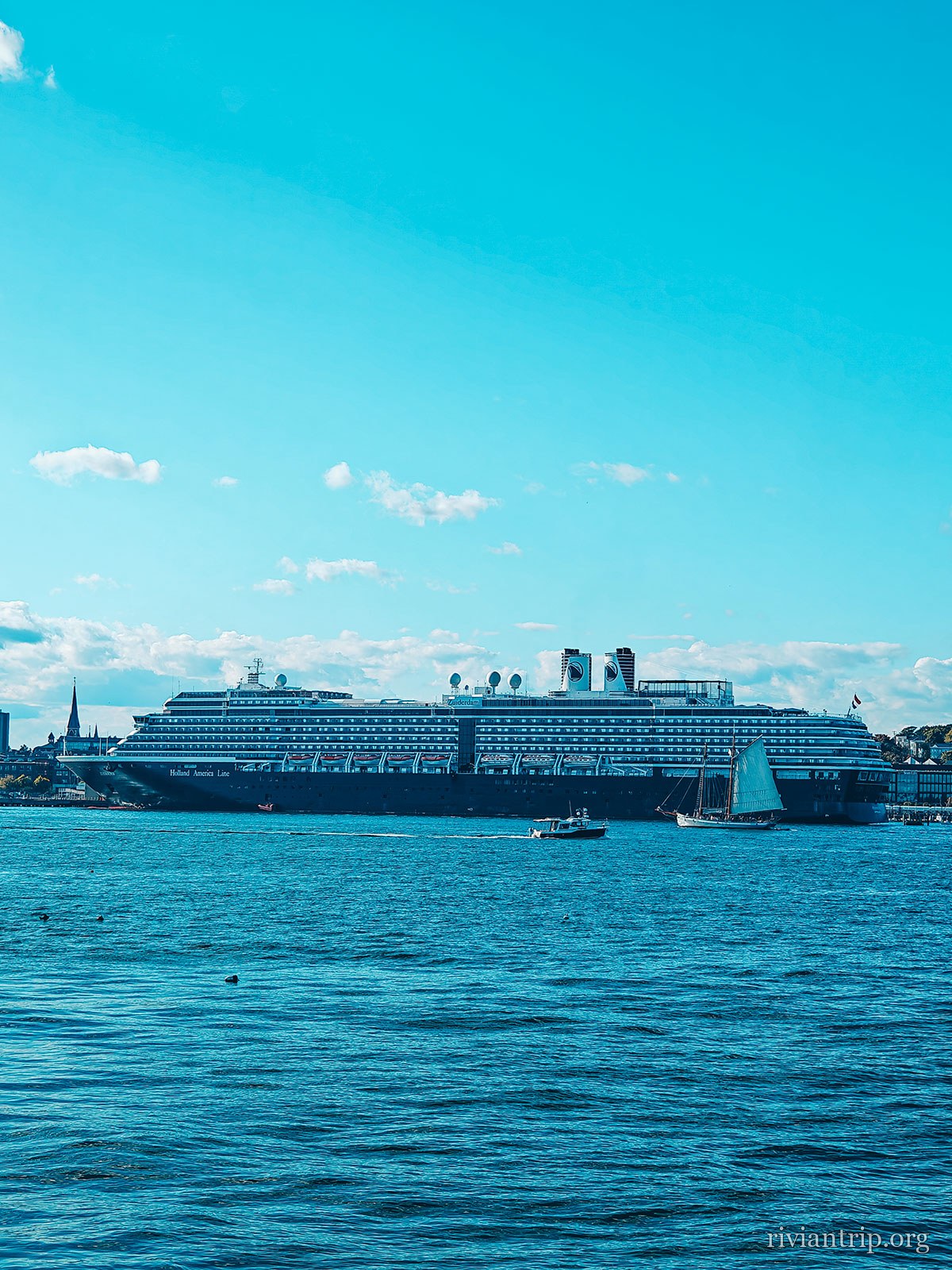
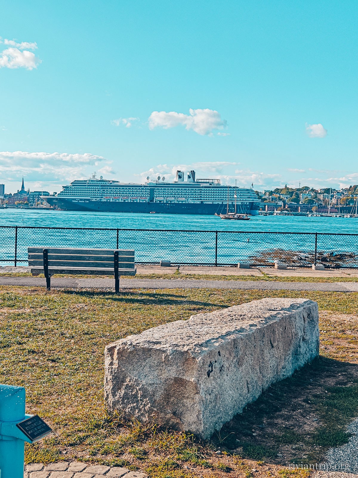
A cargo ship at the quay across the channel
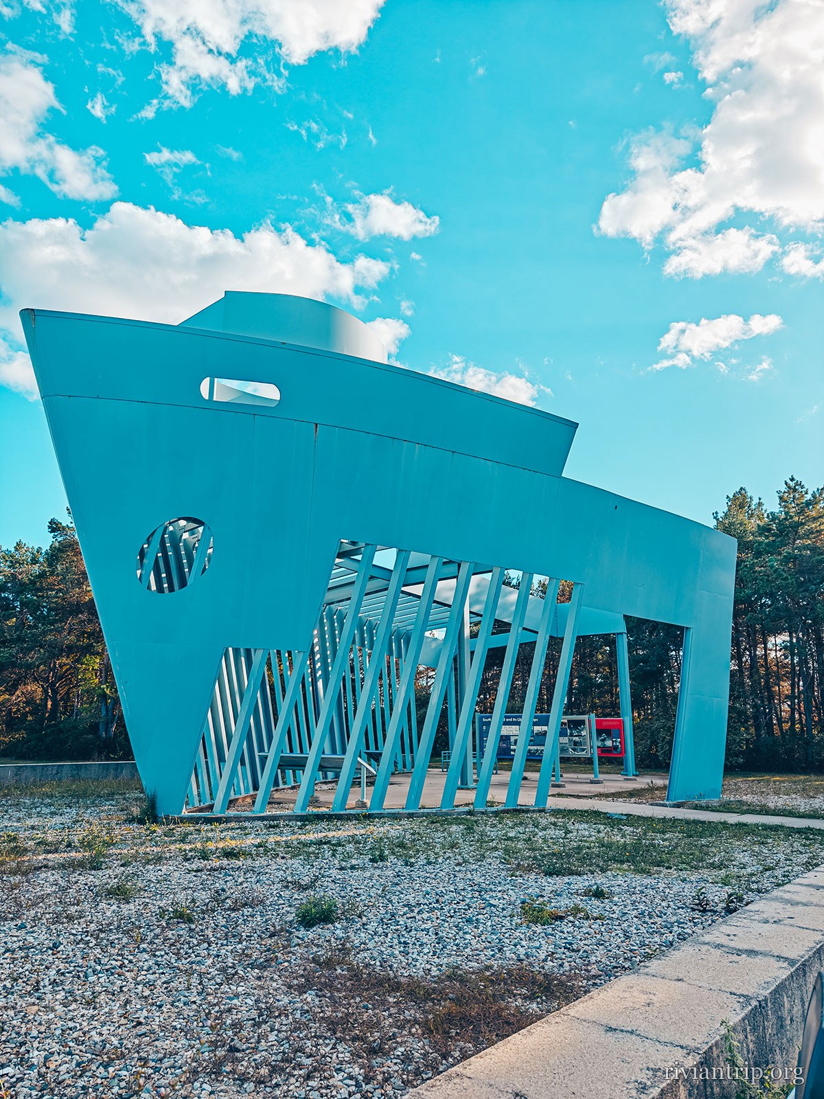
The blue Liberty Ship Memorial, shaped like a bow
The Liberty Ship Memorial
Bug Light, the small breakwater lighthouse in South Portland
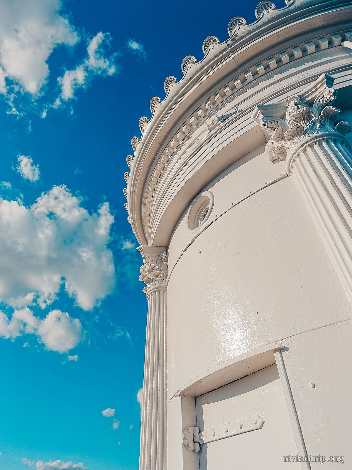
The lighthouse’s fluted columns seen from below
Greek columns, on a Maine breakwater
Bug Light, the small breakwater lighthouse in South Portland

The columns

Modelled on an ancient Greek monument — cast iron fluting on a Maine breakwater.

The Liberty ships

The flat ground behind was the shipyard: 236 Liberty ships came off it between 1941 and 1945.
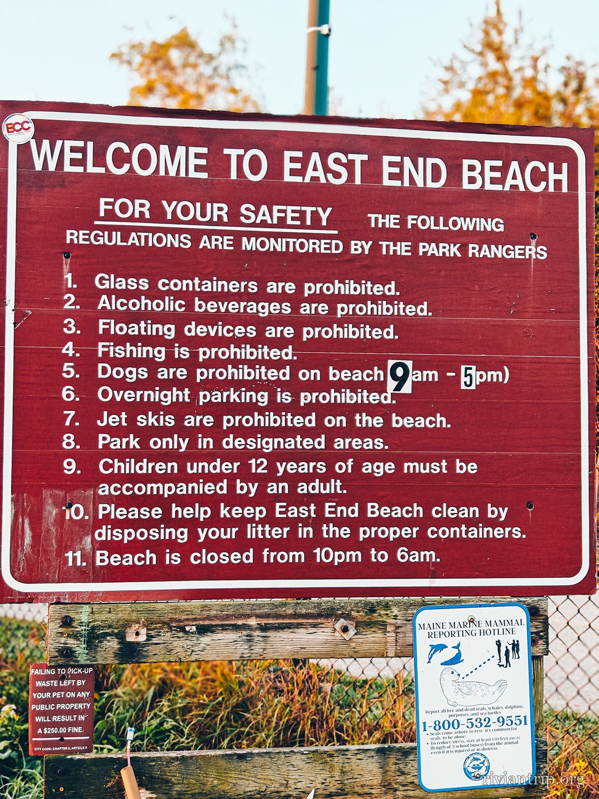
East End Beach
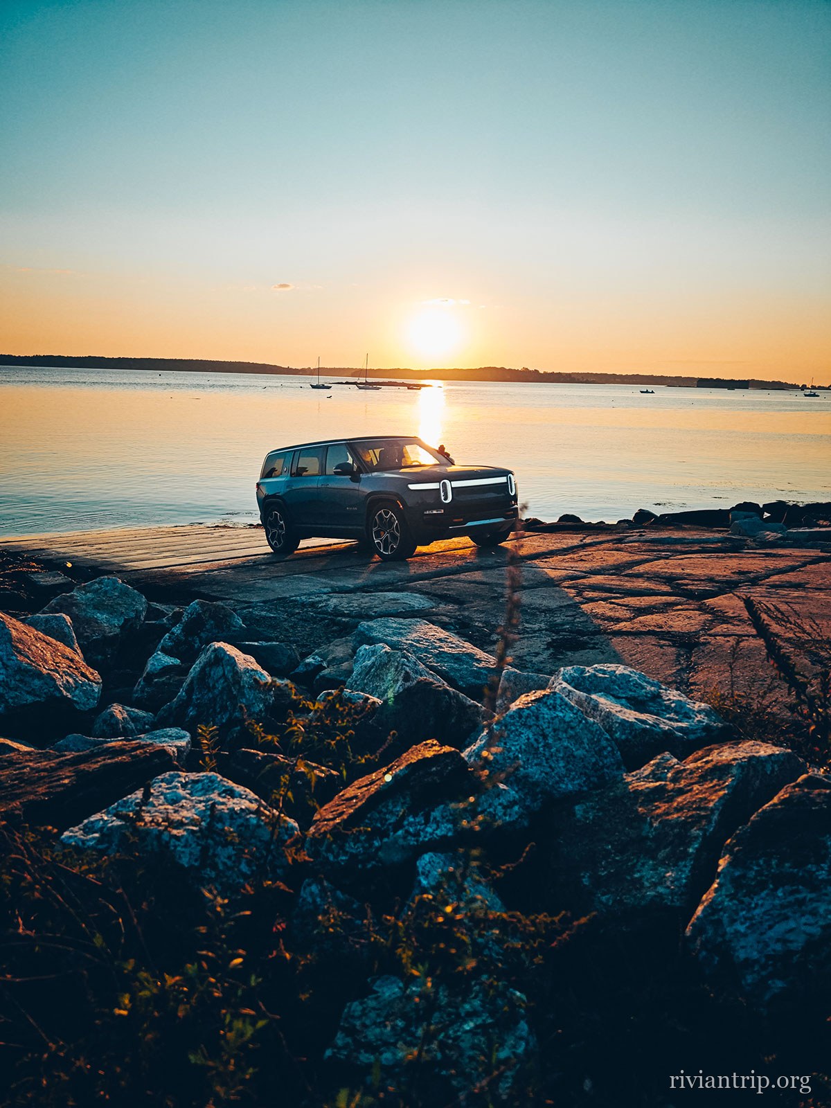
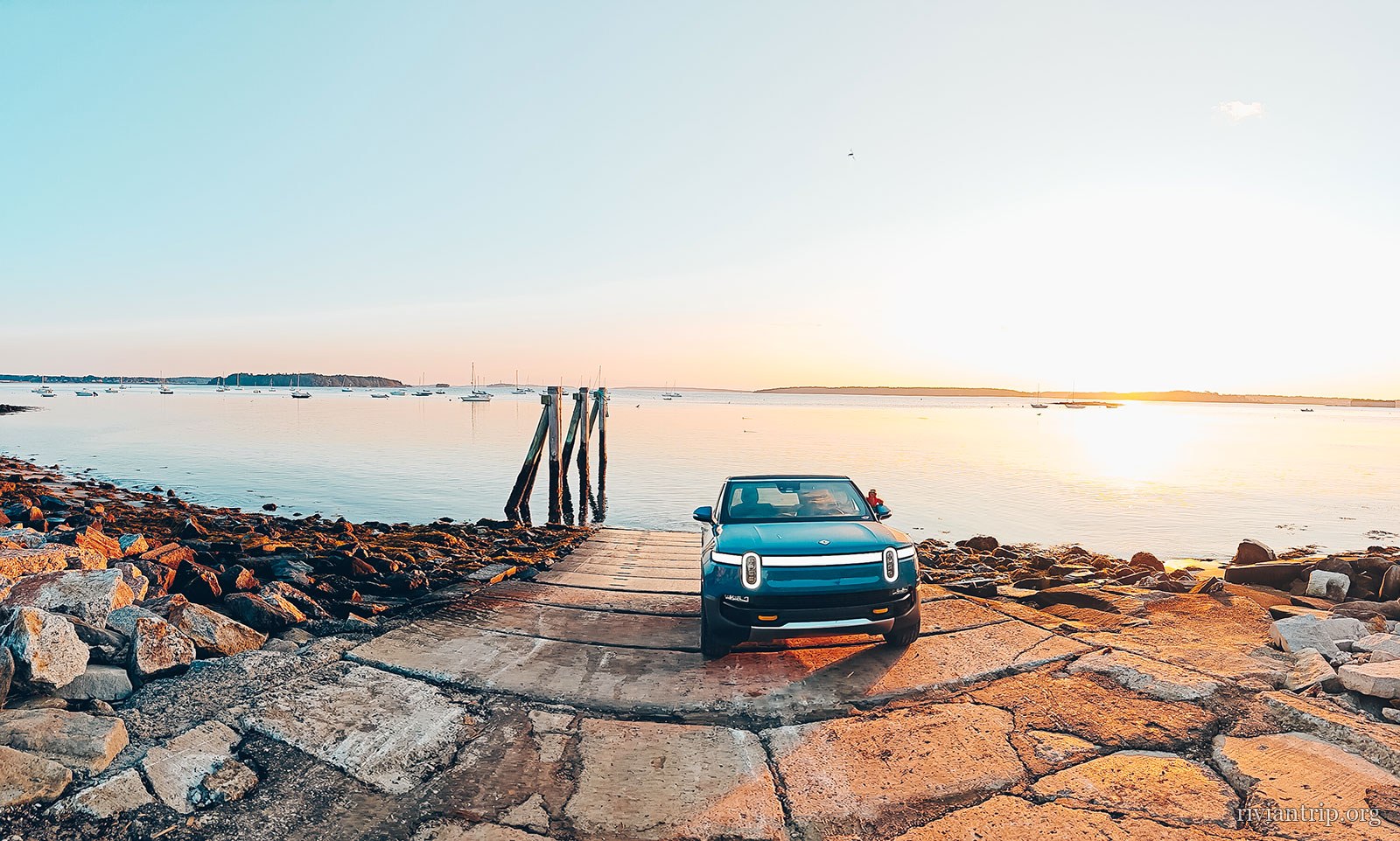
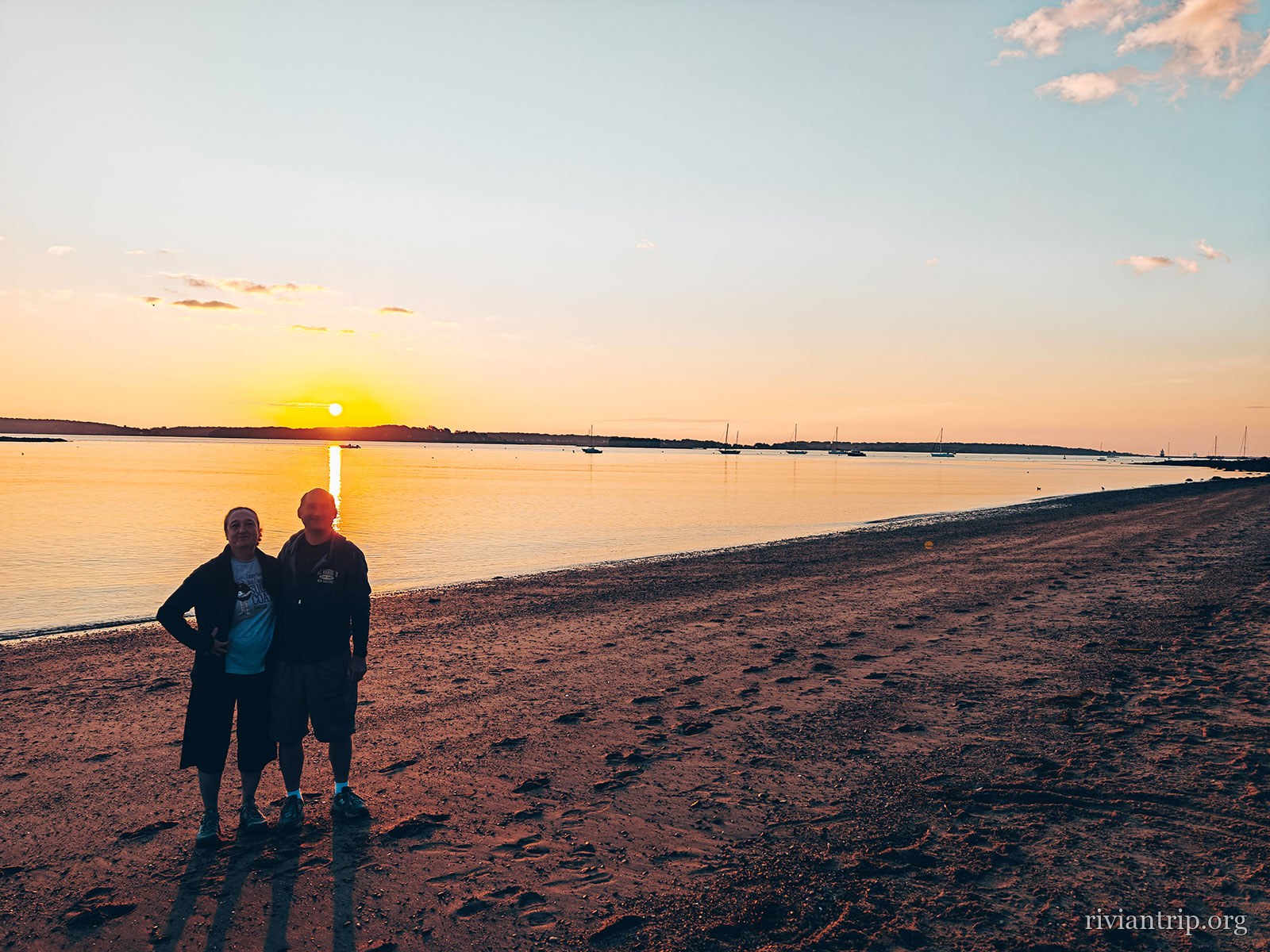
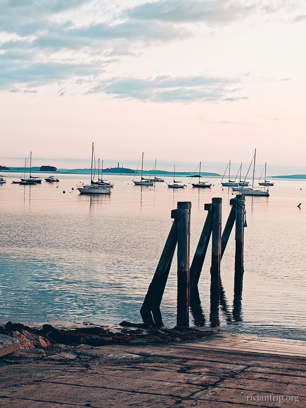
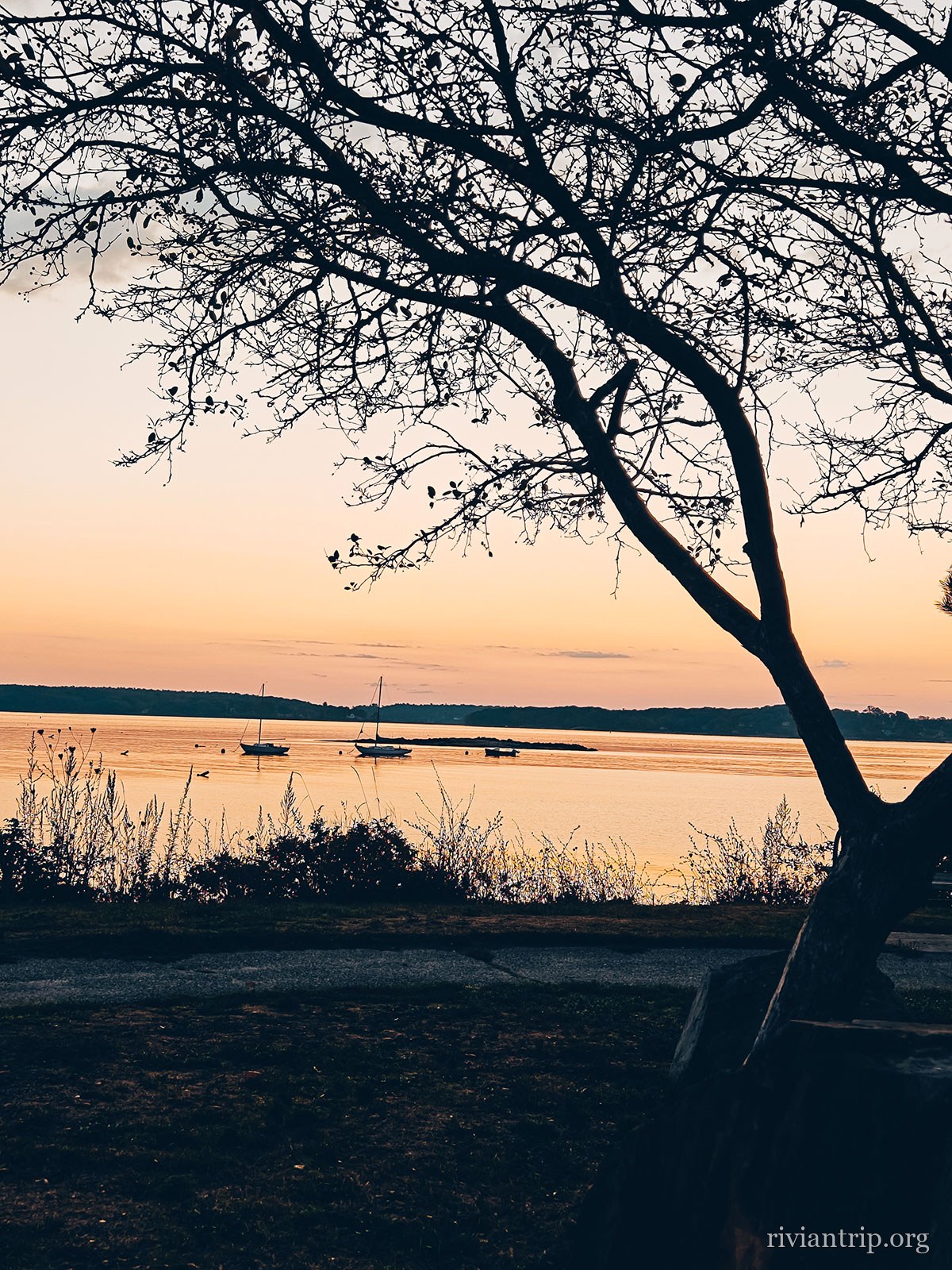
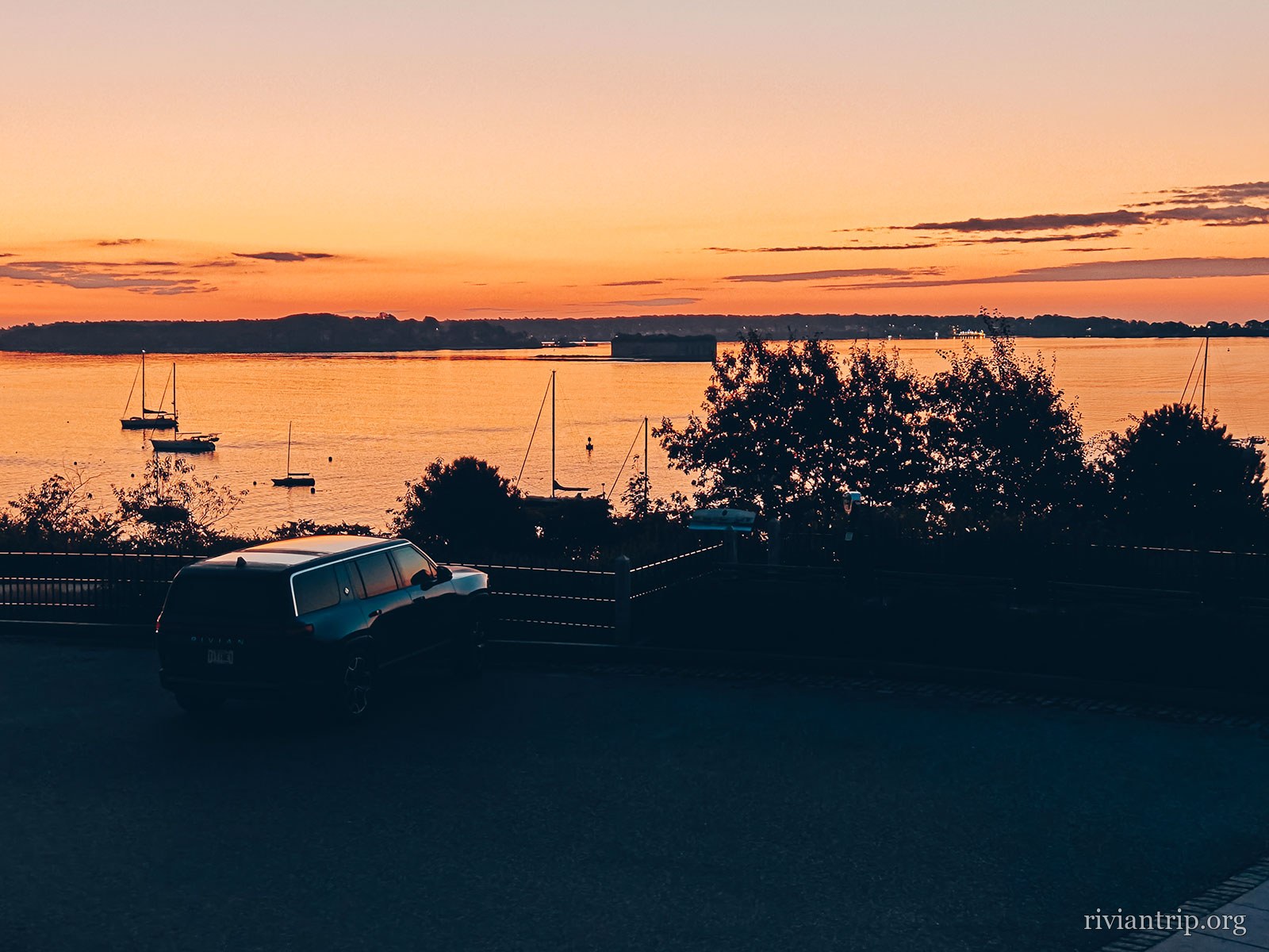
For the night we chose East End Beach, right on Casco Bay. Parking is free and the beach is a short walk away. In the early morning, a few steps are enough to be back on the sand. The sun comes up slowly over the water, giving the bay islands almost unreal outlines. At that hour Portland still seems asleep. A few joggers, a few walkers and the steady sound of the waves go with the start of the day. It is probably the quietest moment of the weekend. Then we went to see downtown Portland, with its cobbled streets, its historic buildings and its many cafés and restaurants. We ate in a small local place, enjoying the warm and friendly atmosphere of the city, which serves delicious lobster dishes.
The red “Welcome to East End Beach” sign and its rules
East End Beach
East End Beach, below Munjoy Hill, on Casco Bay
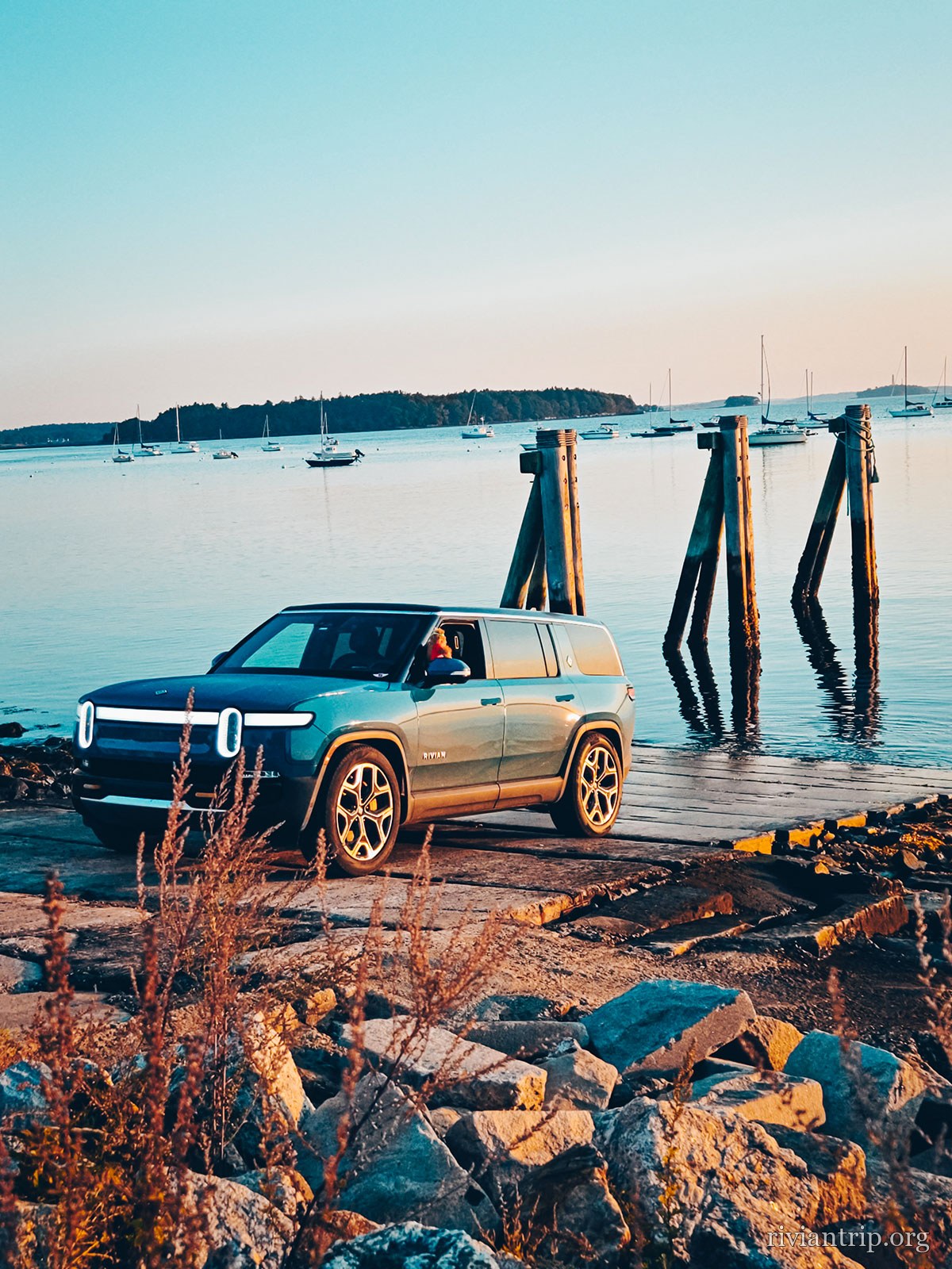
The low sun over the bay, the Rivian at the water’s edge
The sun going down over Casco Bay
East End Beach, below Munjoy Hill, on Casco Bay
Two figures on the beach silhouetted at sunset
Sailboats at anchor before the Casco Bay islands
The Casco Bay islands
East End Beach, below Munjoy Hill, on Casco Bay

The bay

Its islands are called the Calendar Islands — legend wants one for every day of the year; there are about two hundred.
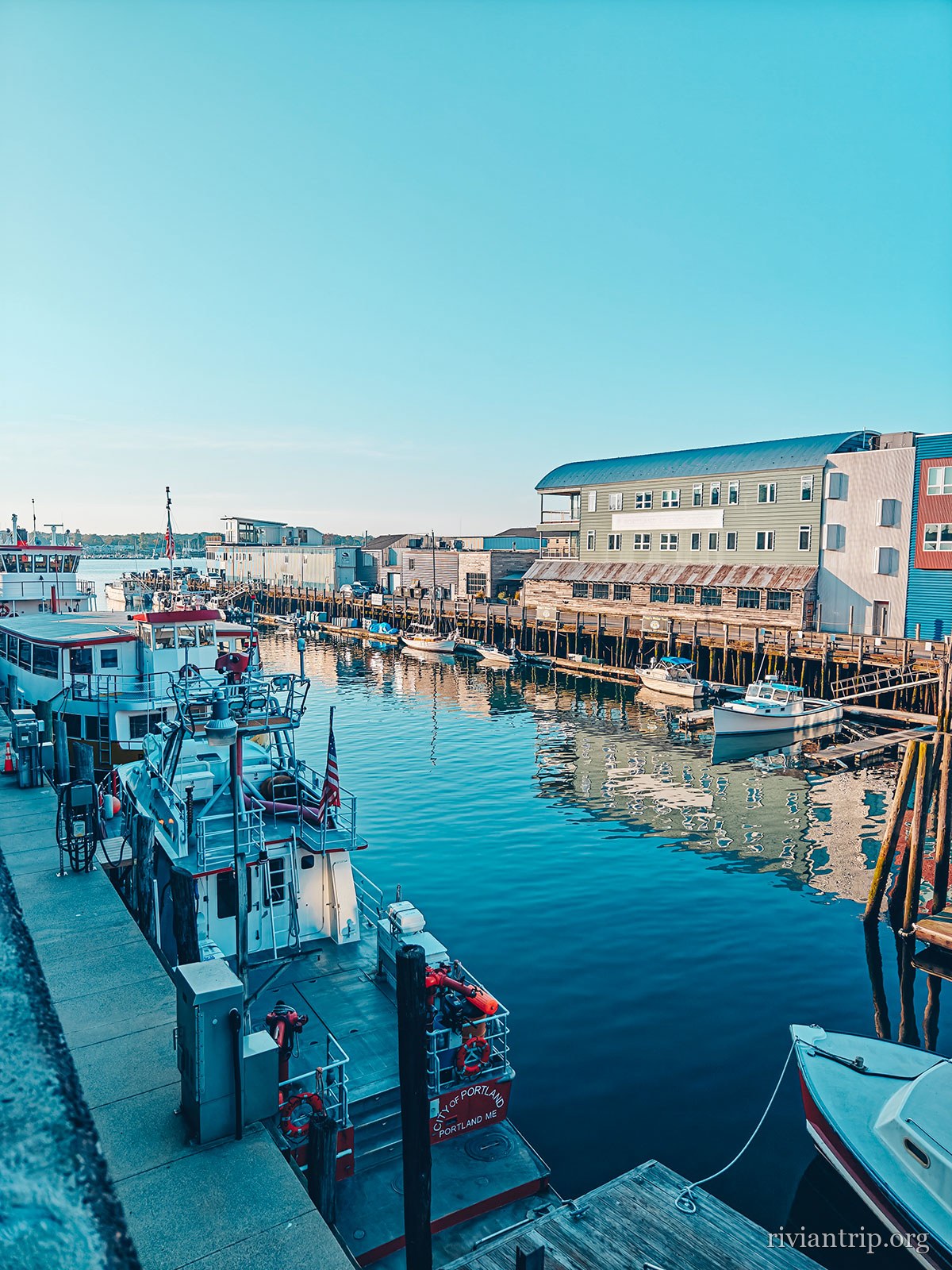
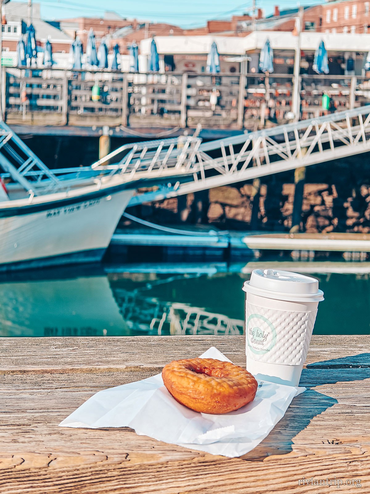
The waterfront
Portland’s wharves, fishing boats moored along the floats
The fishing port
A coffee and a doughnut on a table facing the harbour
The morning stop
Lobster traps stacked against a red wooden shed
Traps stacked up between seasons

The trap

Maine alone lands roughly 80 % of the American lobster catch.
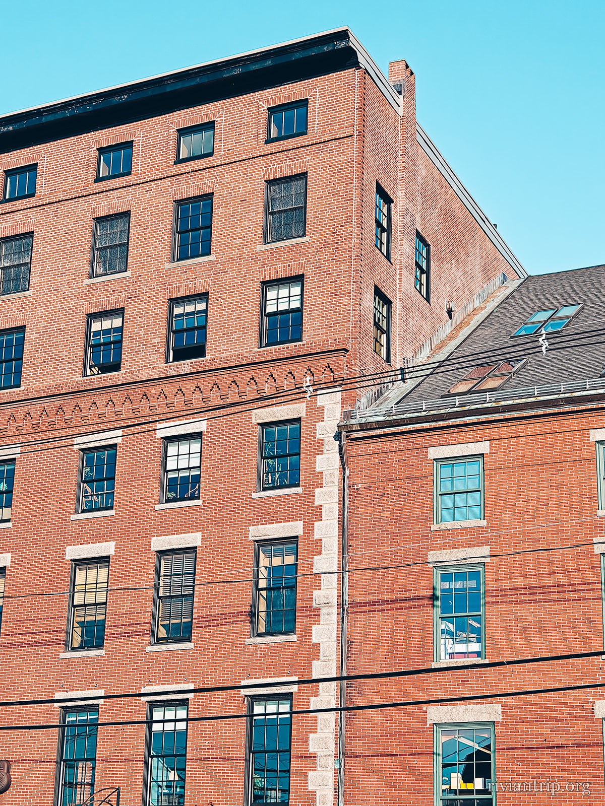
The city
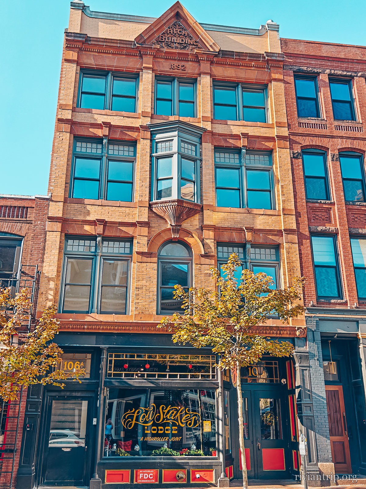
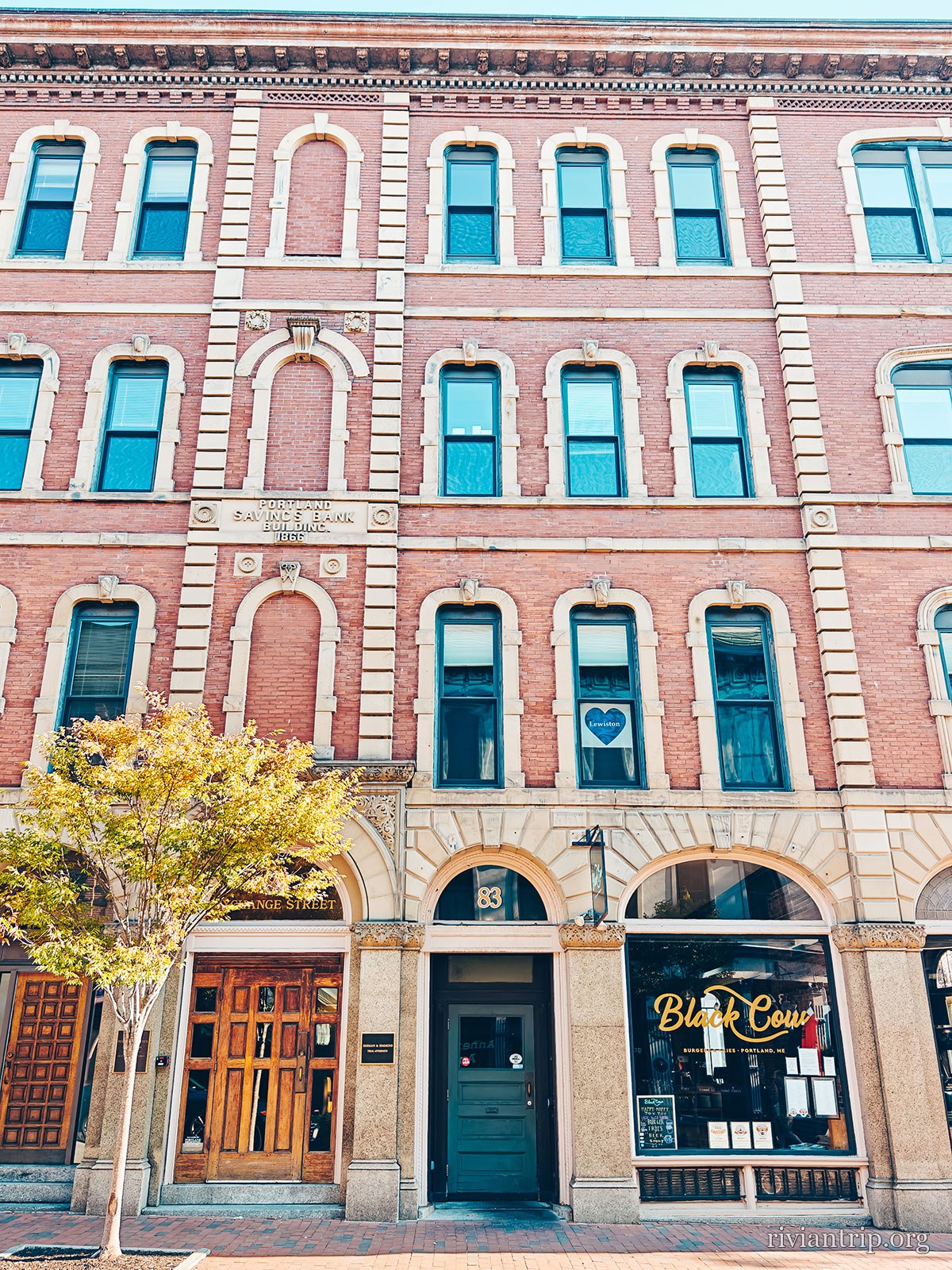
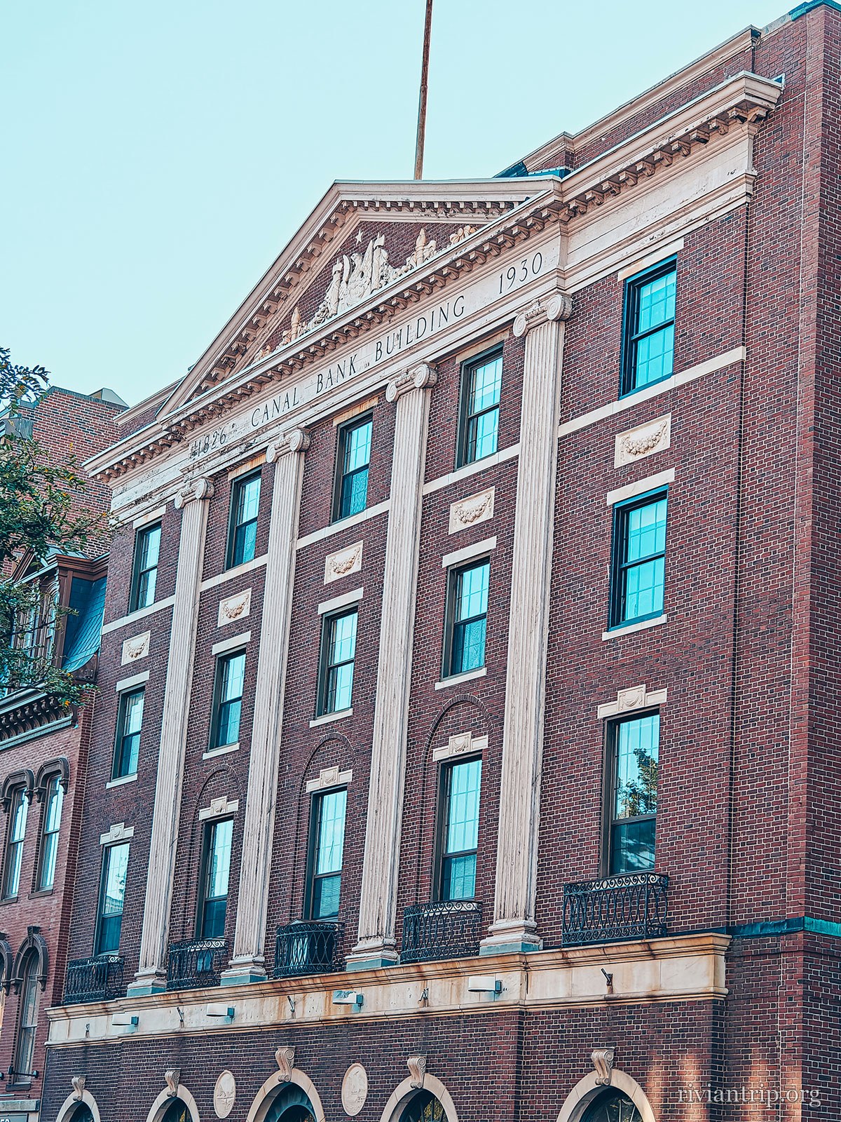
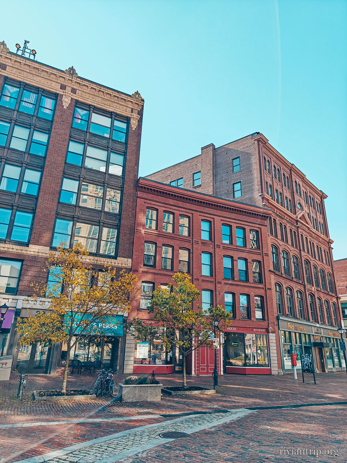
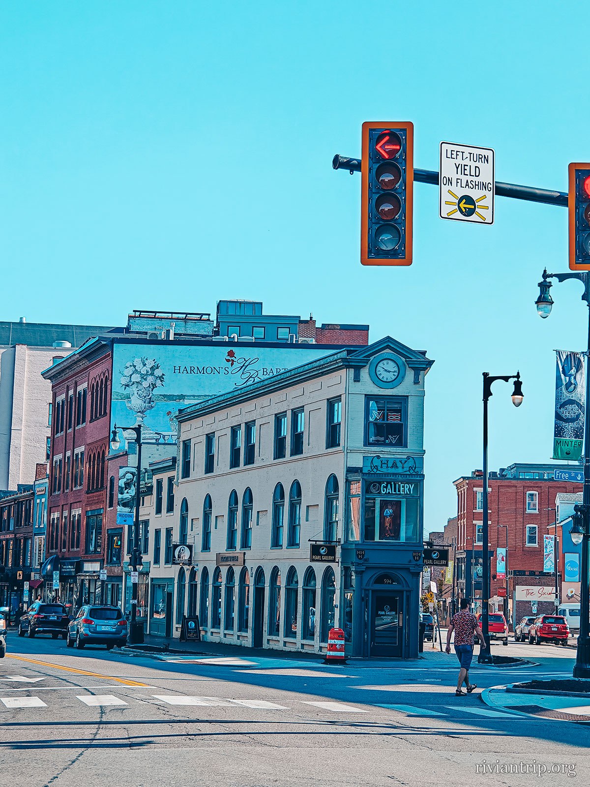
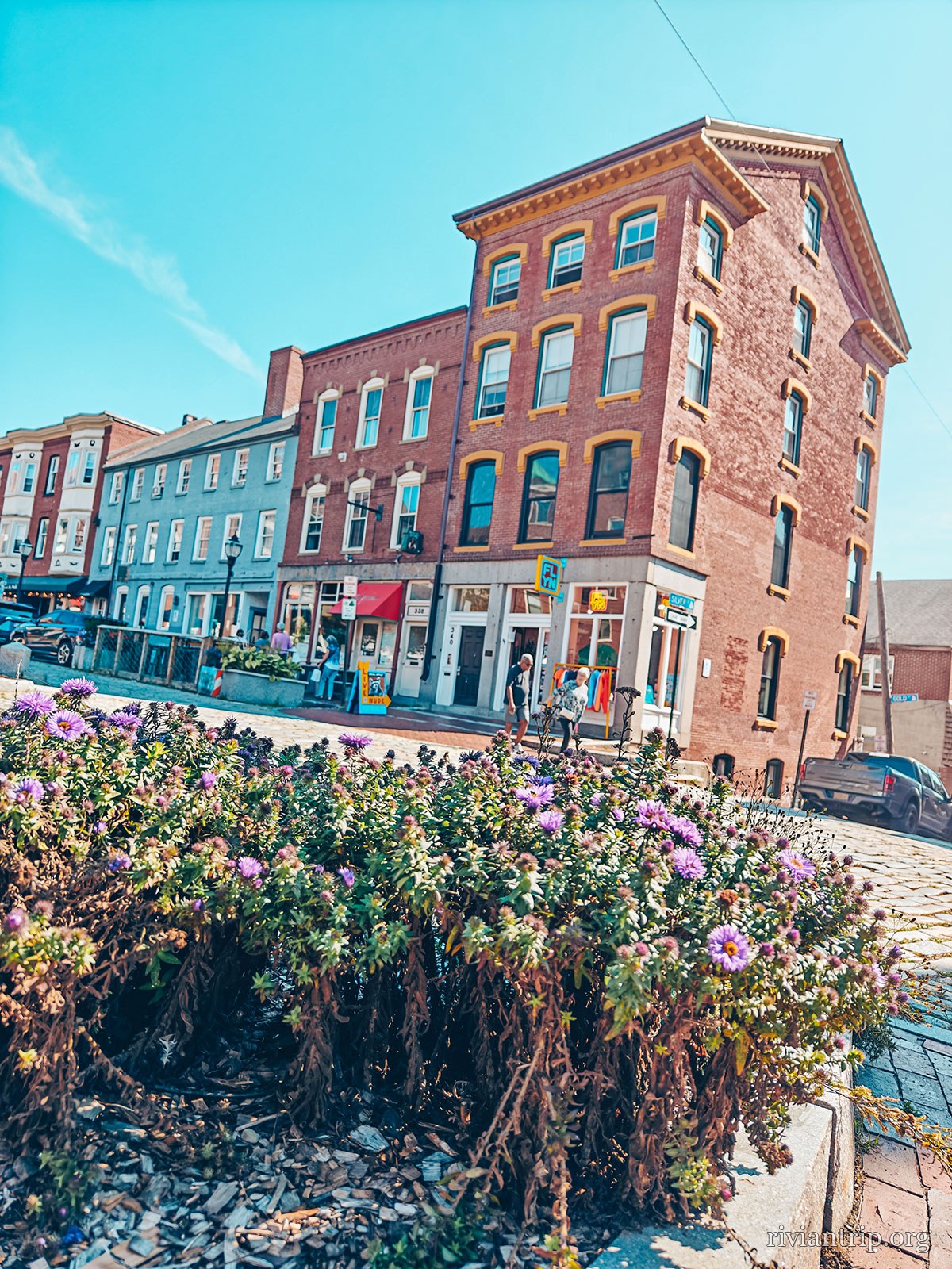
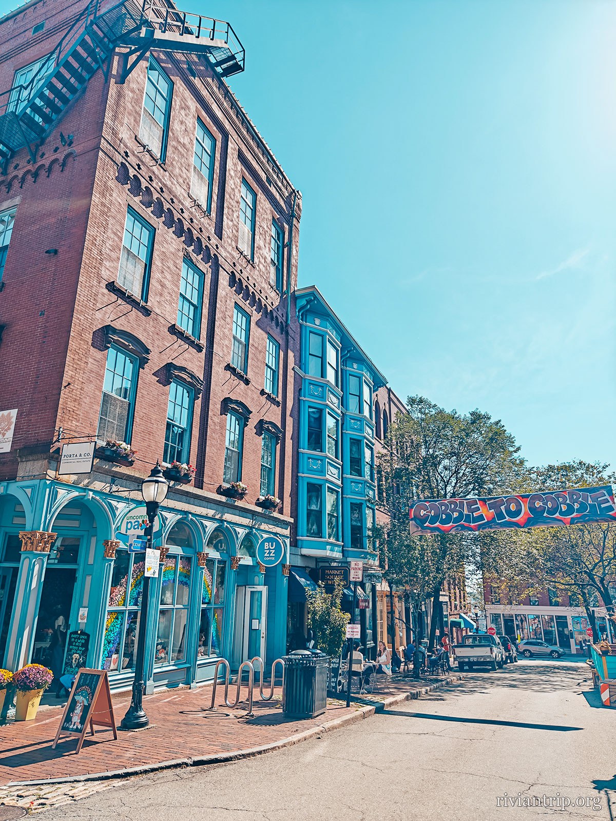
A Portland street, in the brick of the Old Port
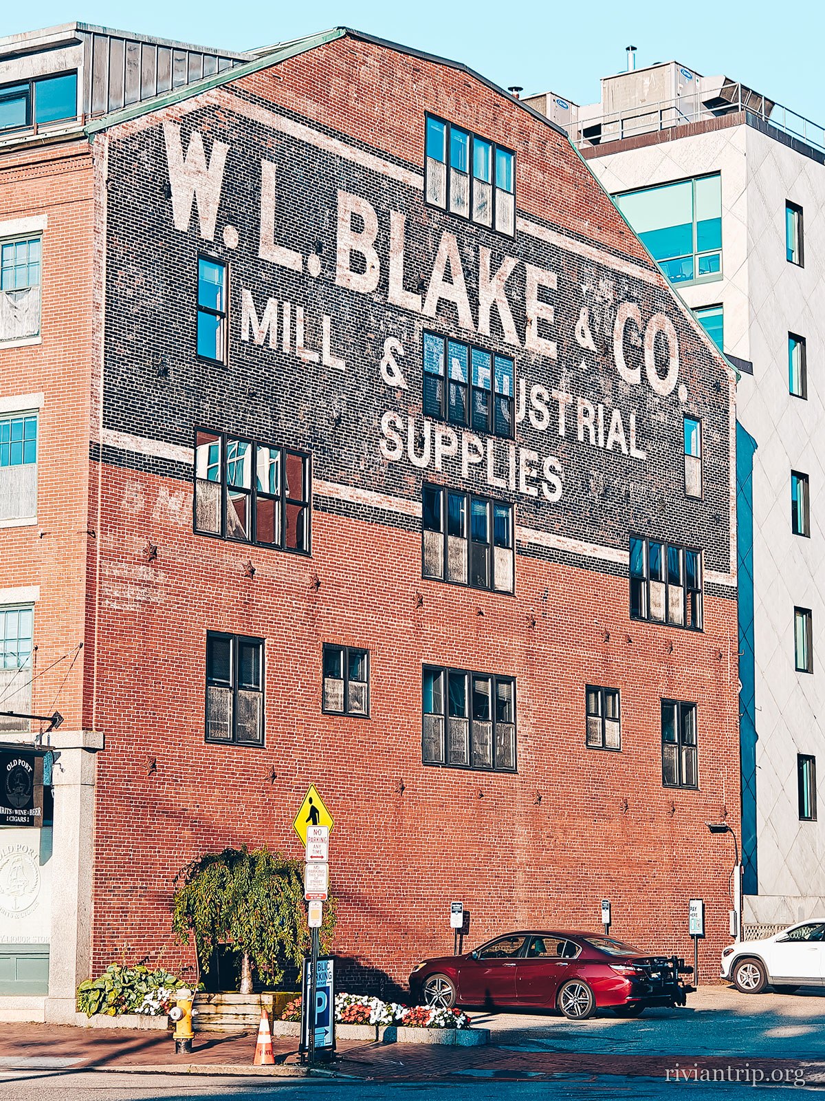
The painted facade “W. L. Blake & Co · Mill & Industrial Supplies”
The painted signs of the Old Port
A Portland street, in the brick of the Old Port
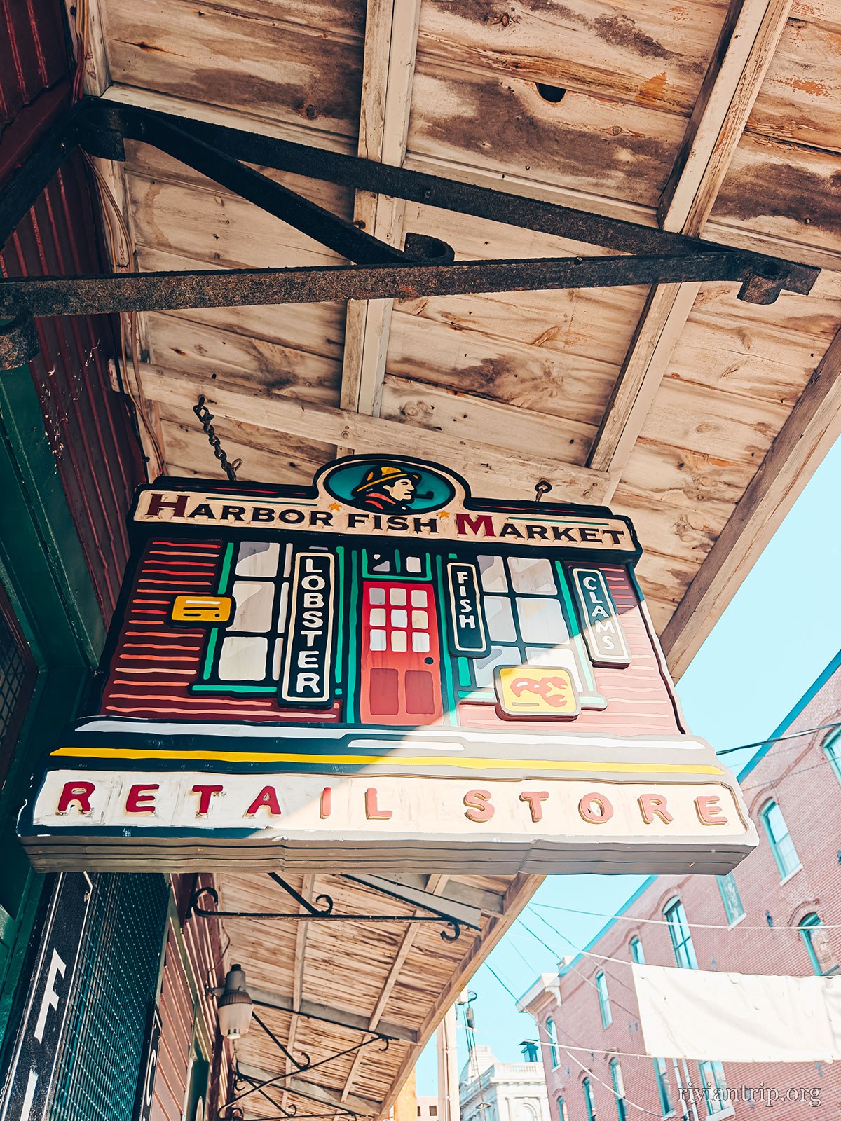
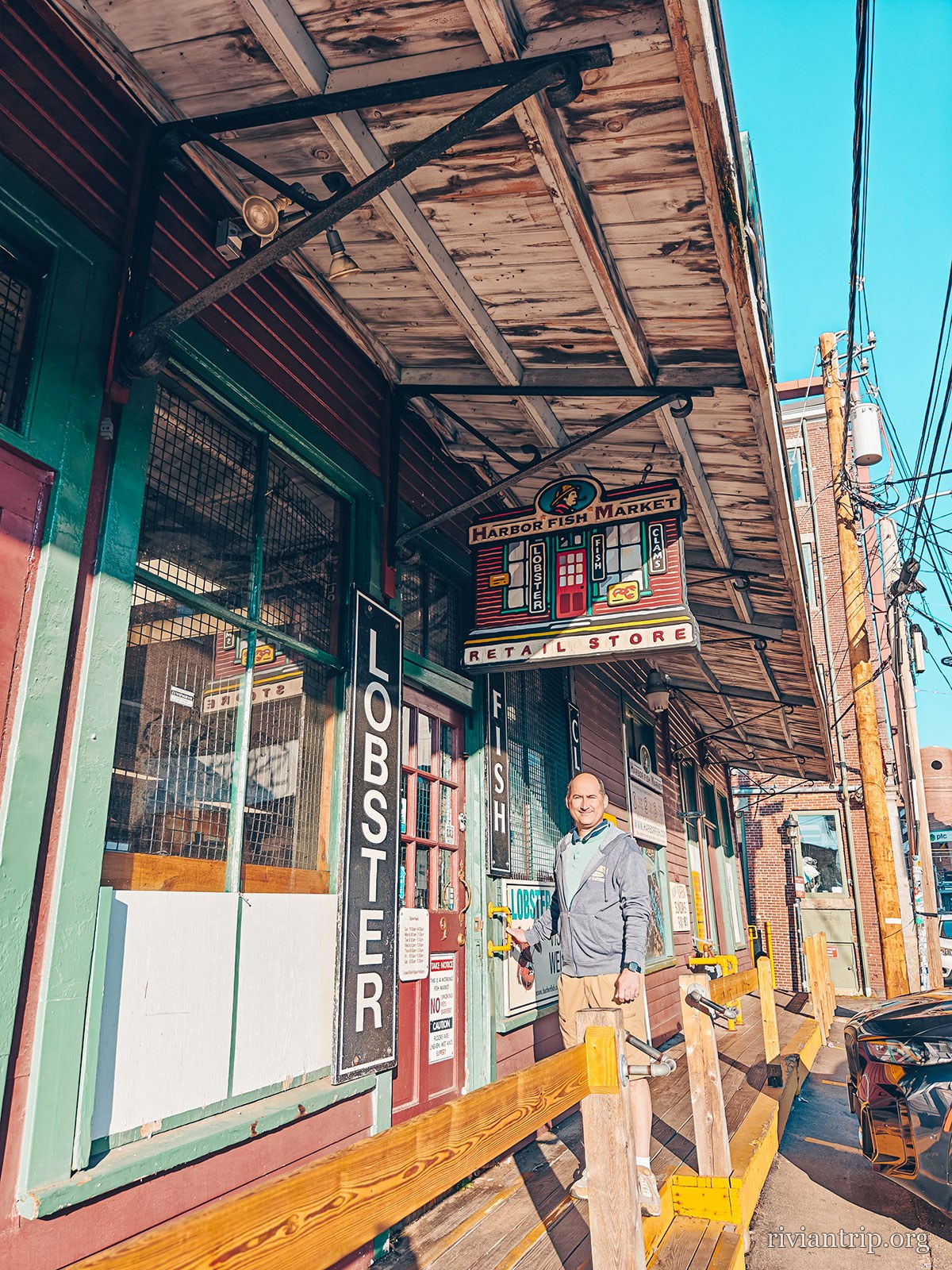
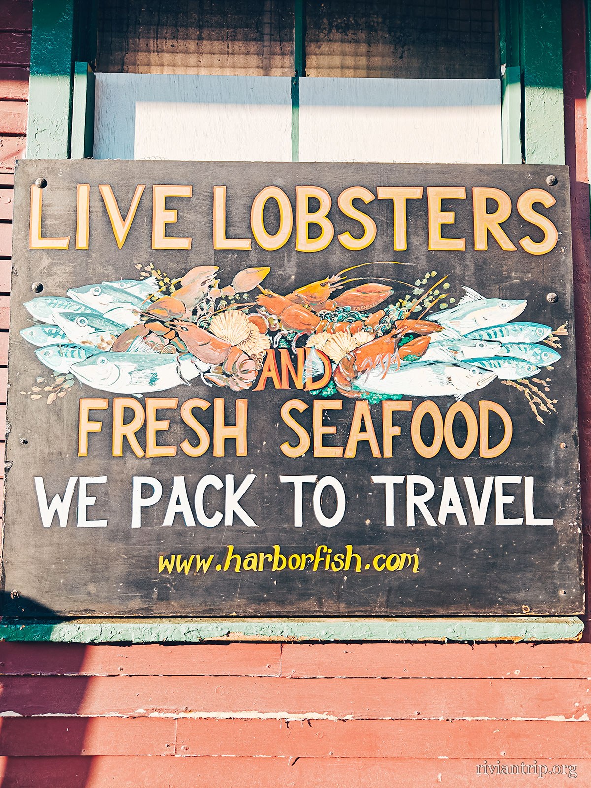
The Harbor Fish Market sign: “Live Lobsters and Fresh Seafood”
Here, lobster is sold on the wharf
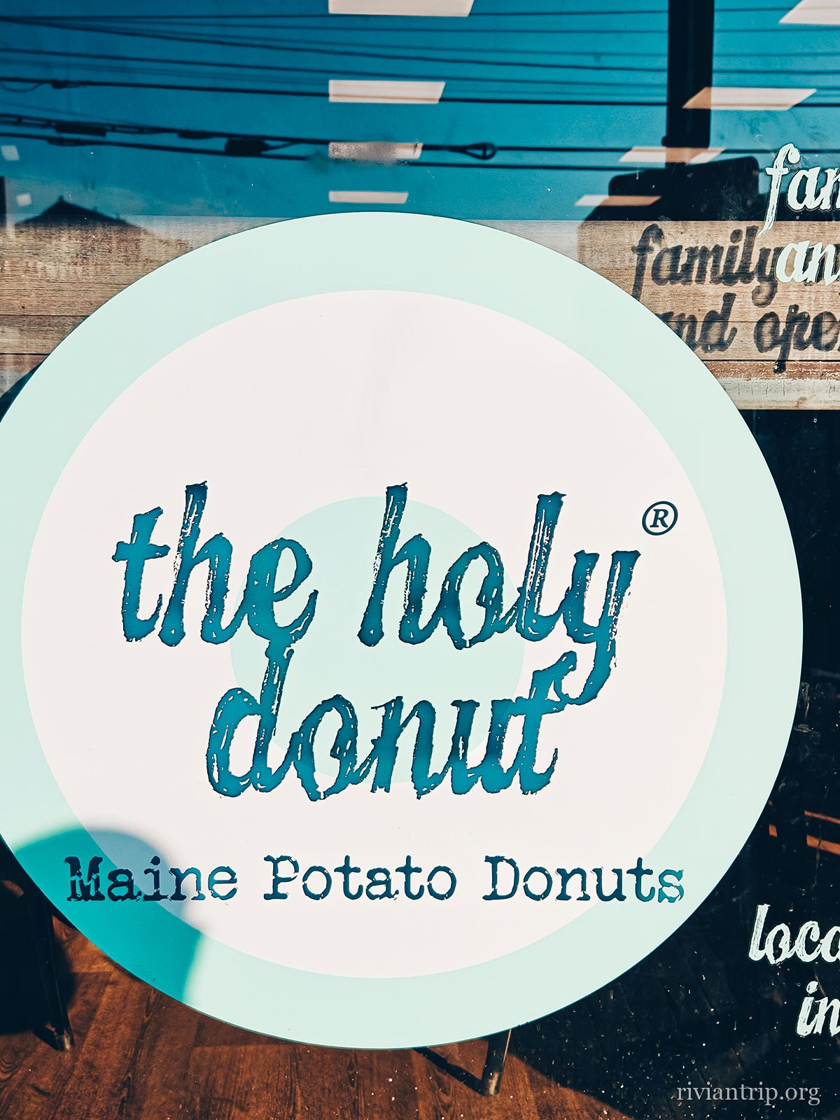
The round Holy Donut sign, “Maine Potato Donuts”
Doughnuts made with Maine potato
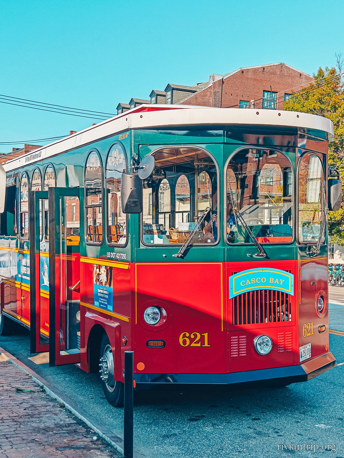
A red tourist trolley on a downtown street
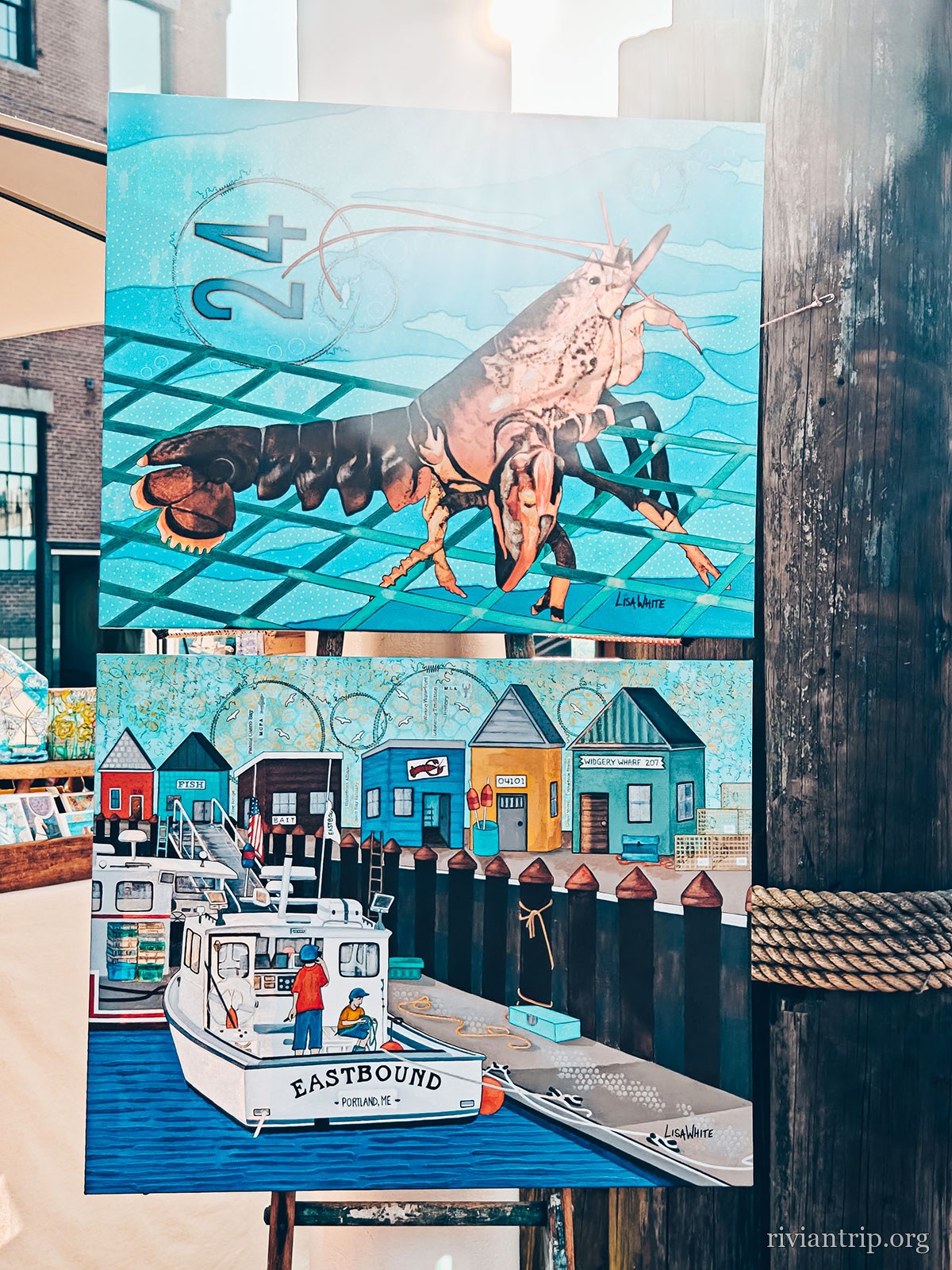
A mural of a lobster and a fishing boat
A mural in the port
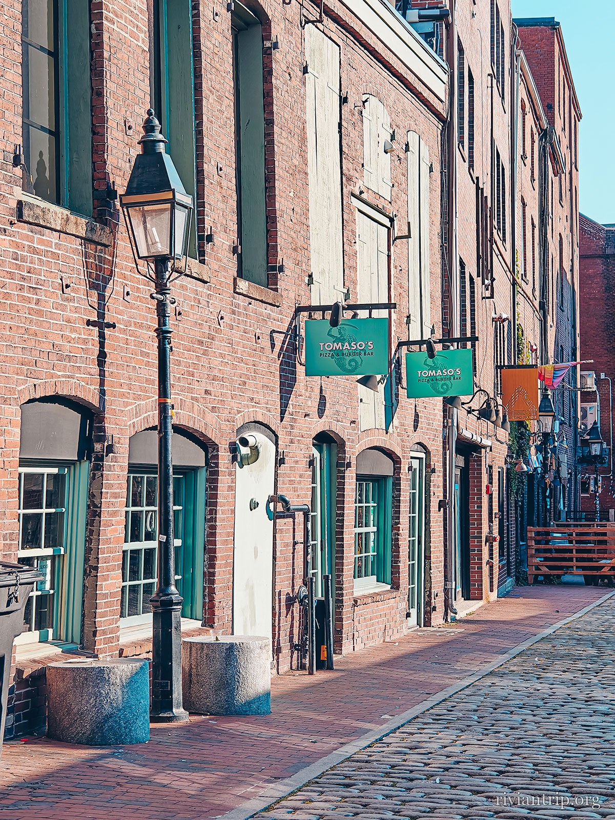
A cobbled street lined with brick buildings
The cobbles of the Old Port
A brick building entirely covered in creeper
A Portland street, in the brick of the Old Port

The fishing harbour

The boats come back to the wharf and the lobster crates go straight to the Old Port restaurants, a few steps away.
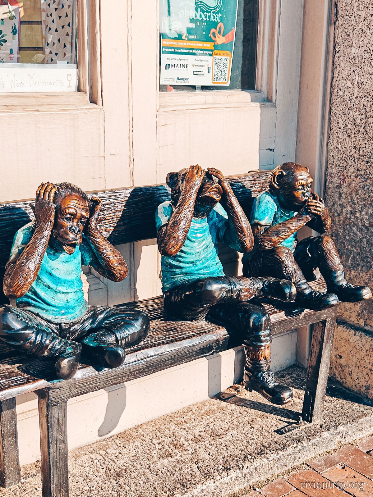
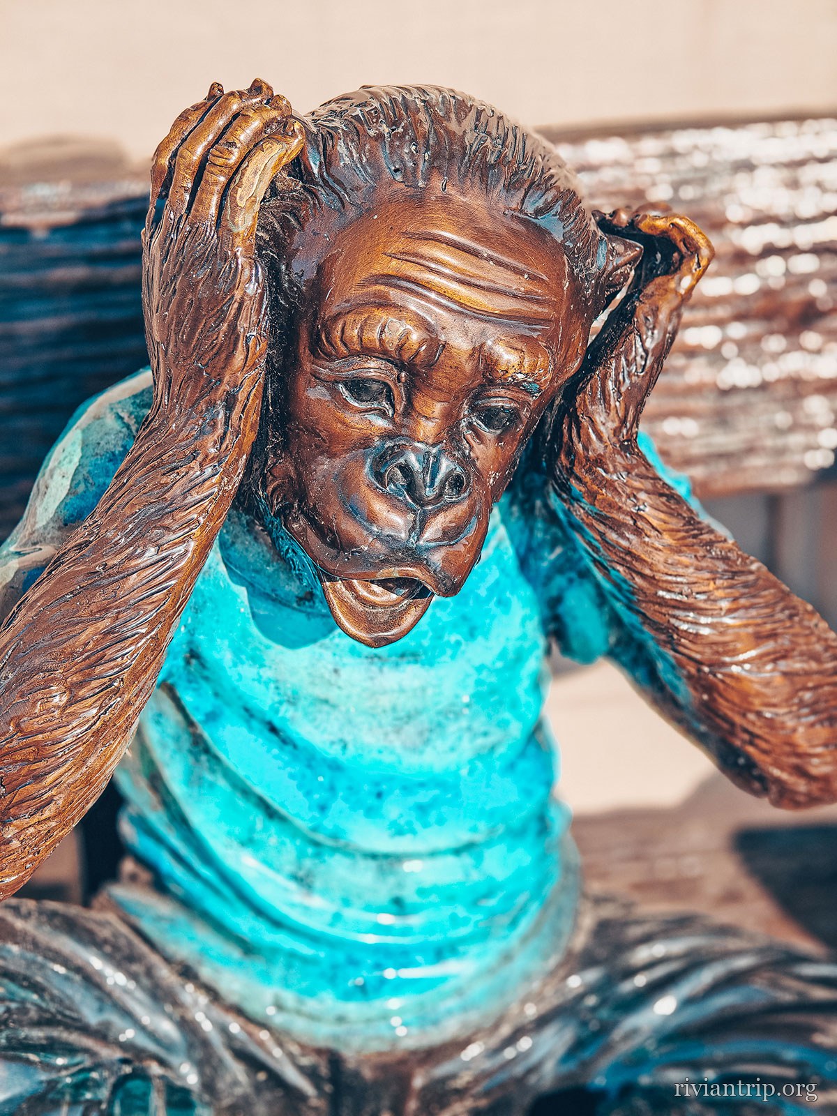
The bronzes
A Portland street, in the brick of the Old Port
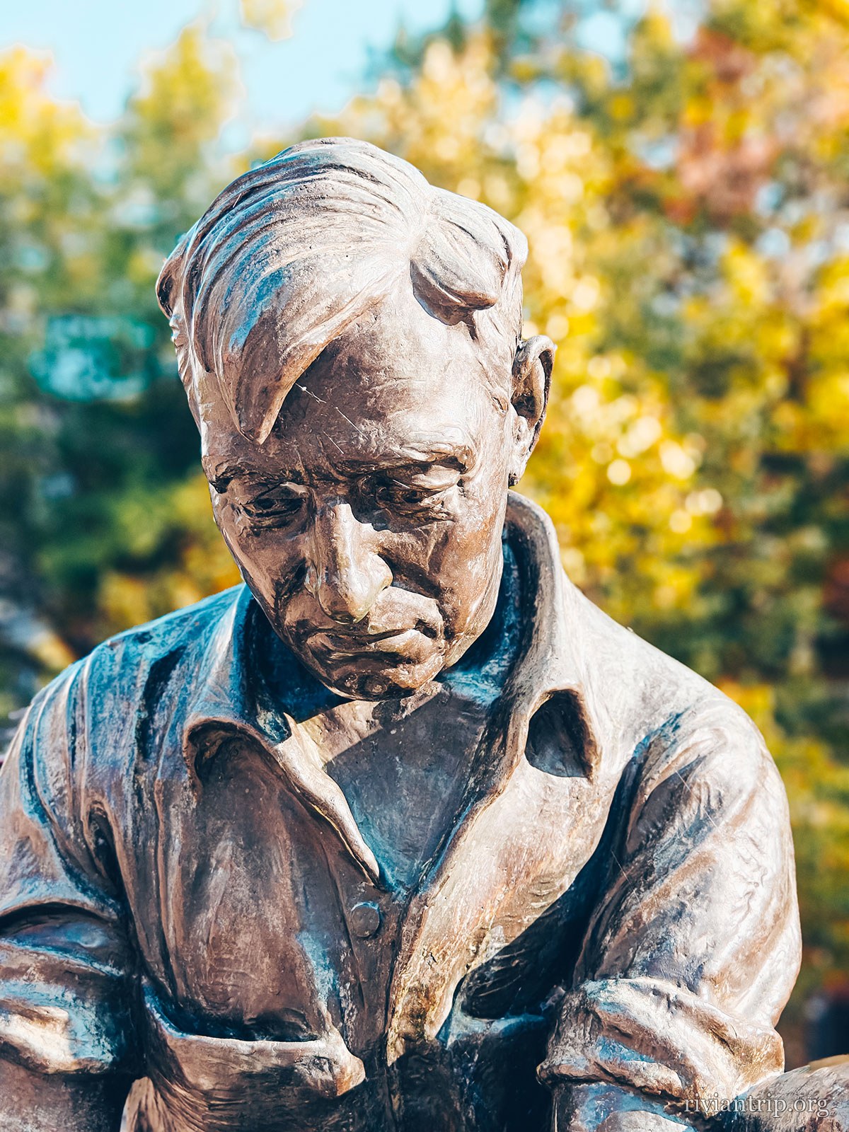
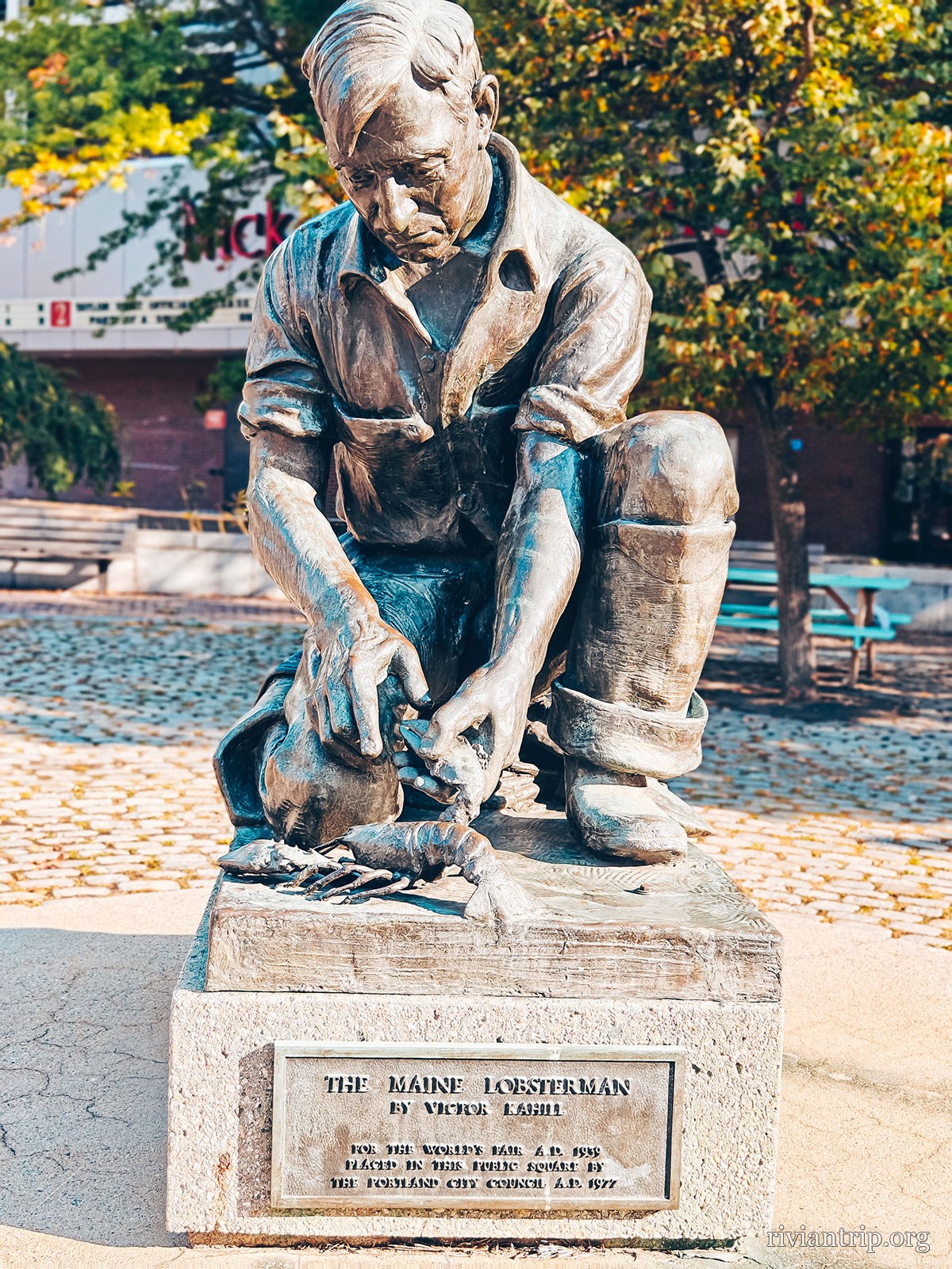
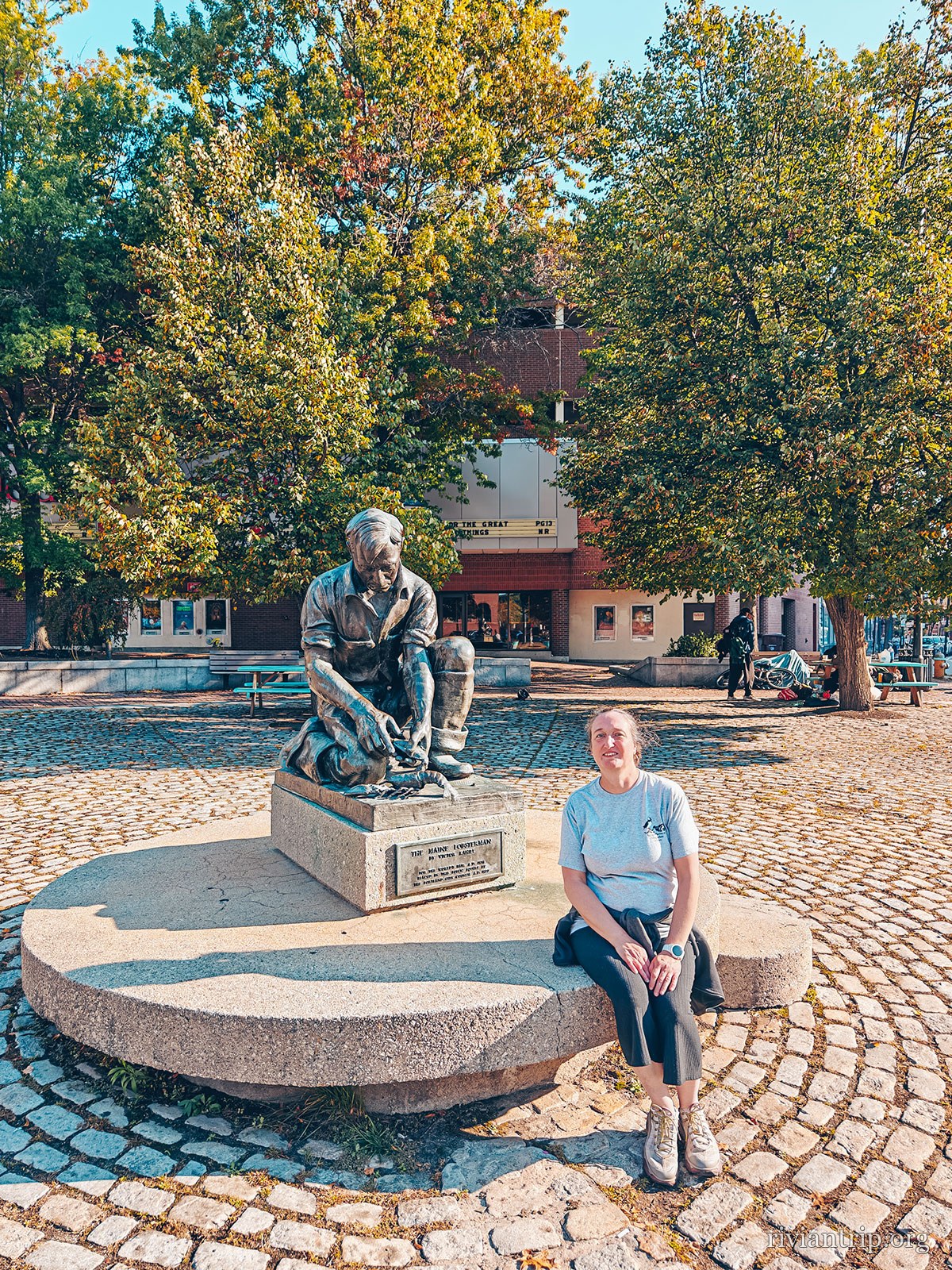
The bronze Maine Lobsterman, kneeling on his plinth
The Maine Lobsterman
A Portland street, in the brick of the Old Port

The Maine Lobsterman

Victor Kahill · 1939

Commissioned by the State for the New York World’s Fair. The model was a real fisherman, H. Elroy “Snoody” Johnson, of Bailey Island.

Short of money — $1,500 raised of the $10,000 needed — it was the plaster, painted bronze, that went to the Fair. The three bronze casts date only from the 1970s.
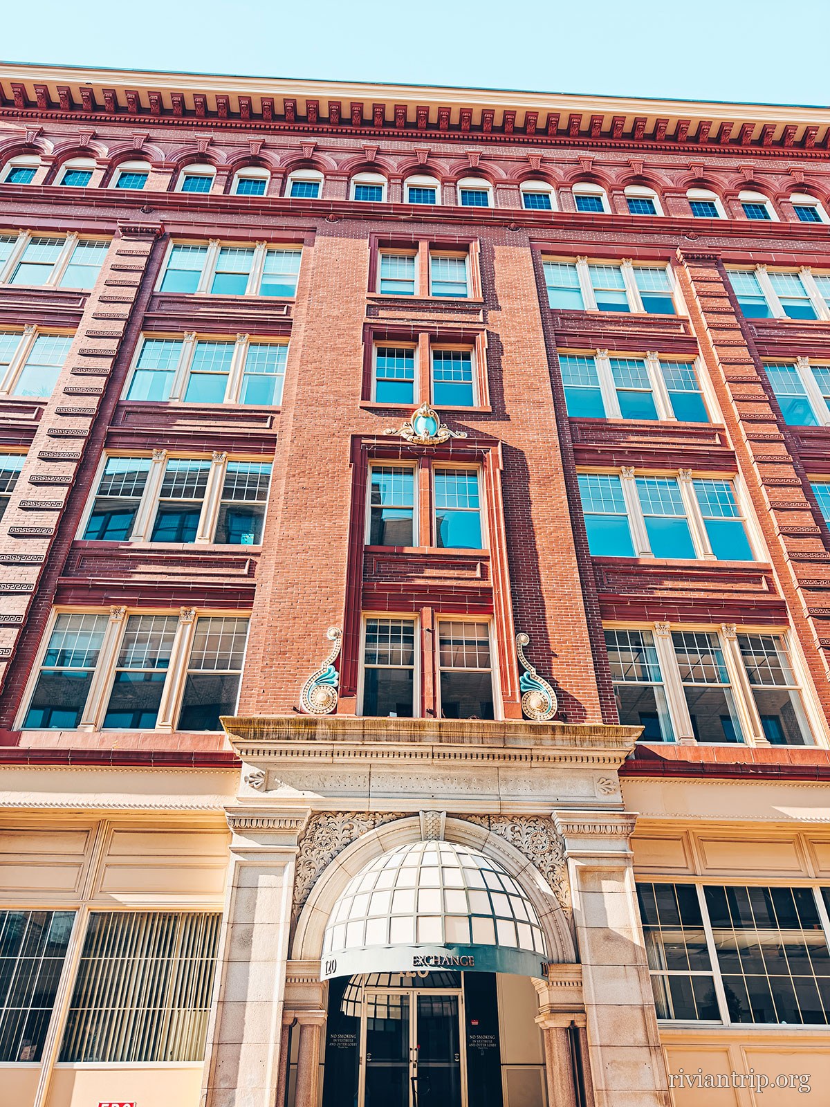
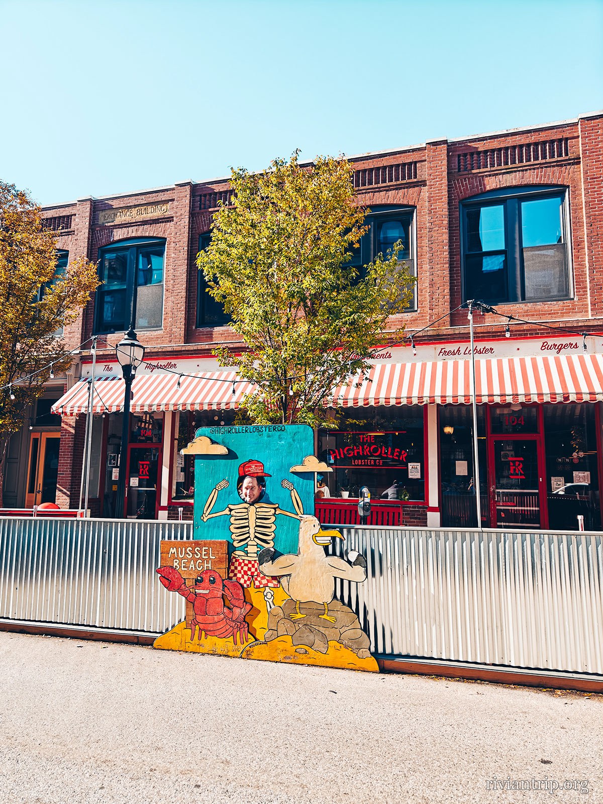
Downtown
A Portland street, in the brick of the Old Port
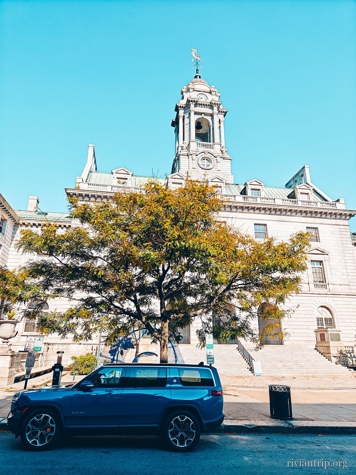
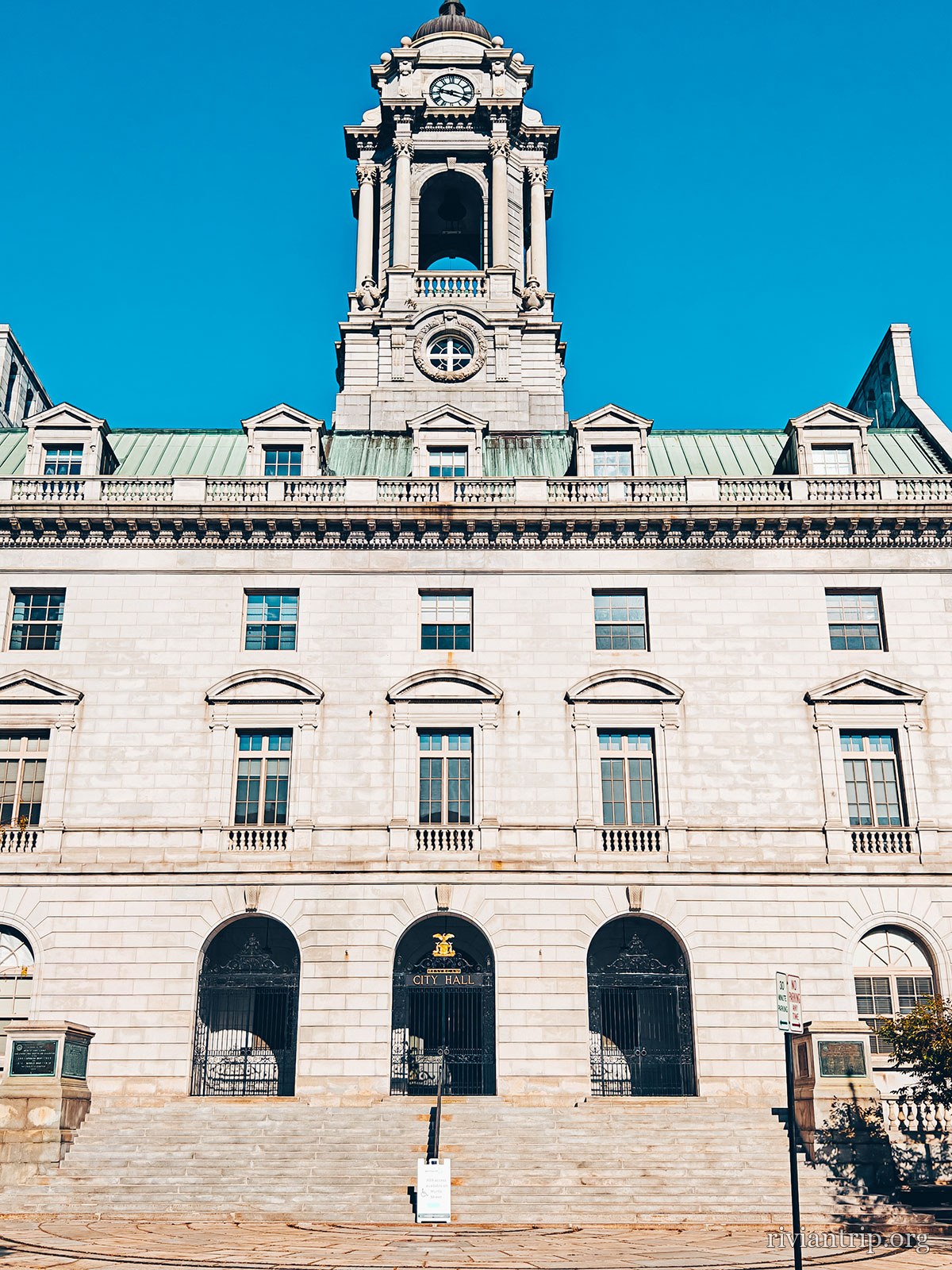
Portland City Hall and its clock tower
City Hall
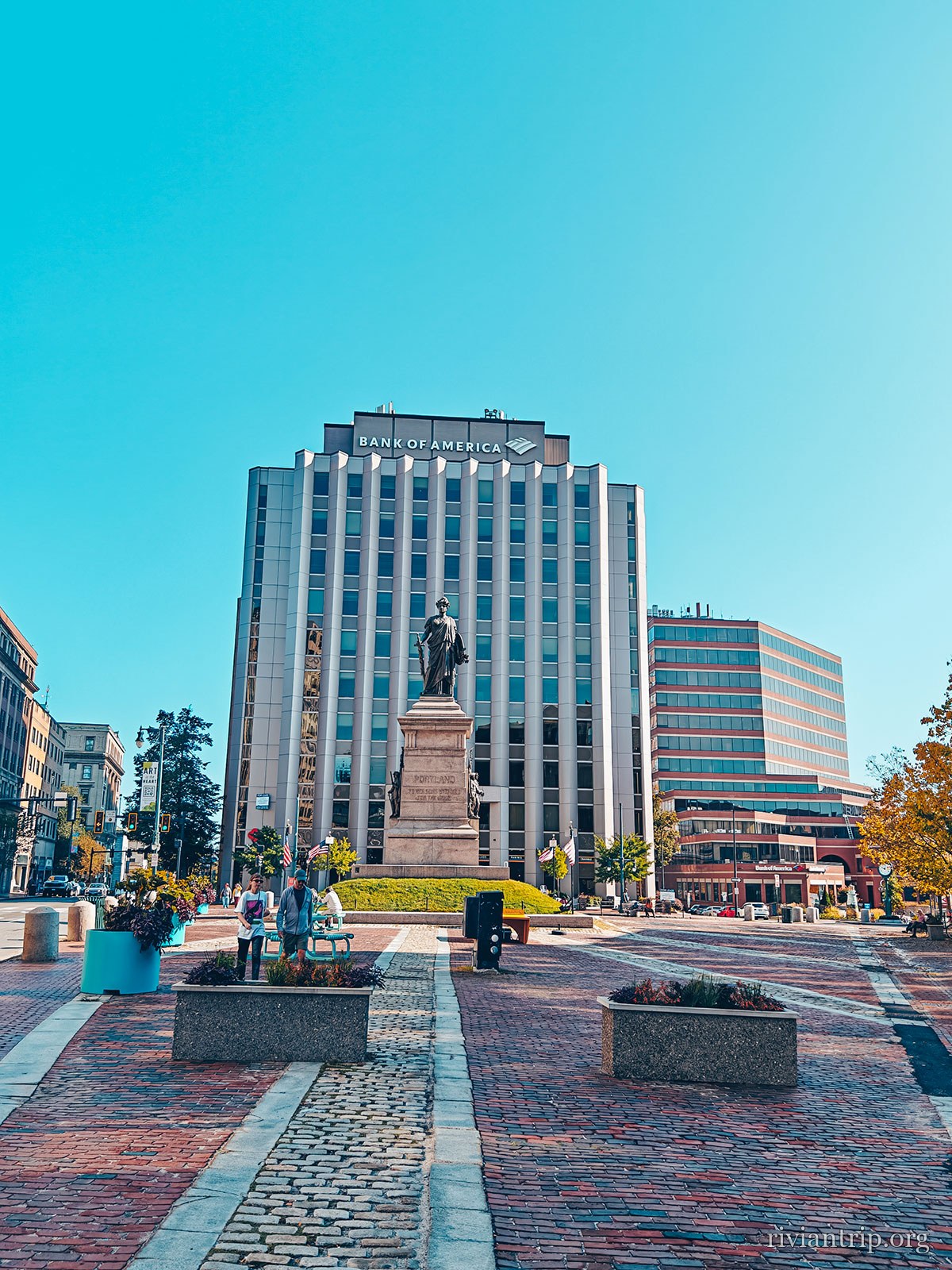
A Portland street, in the brick of the Old Port
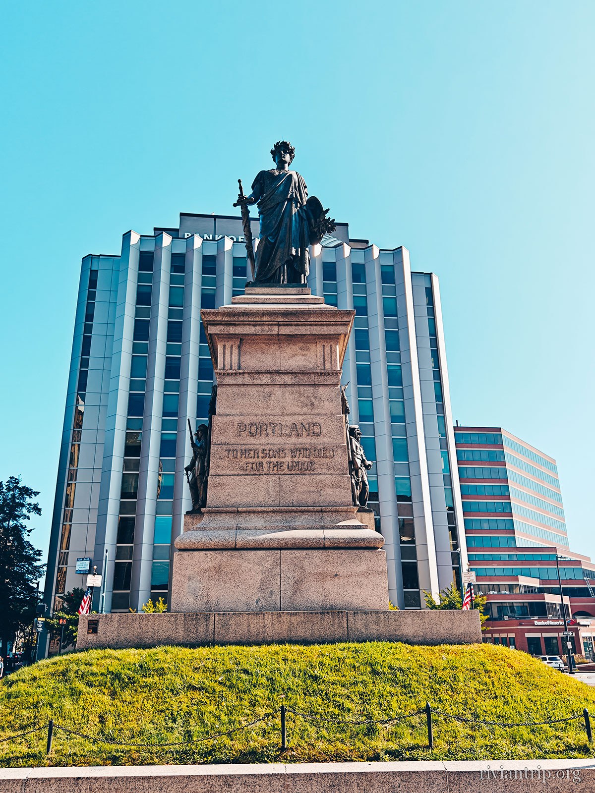
A granite monument topped with a bronze statue
A Portland street, in the brick of the Old Port
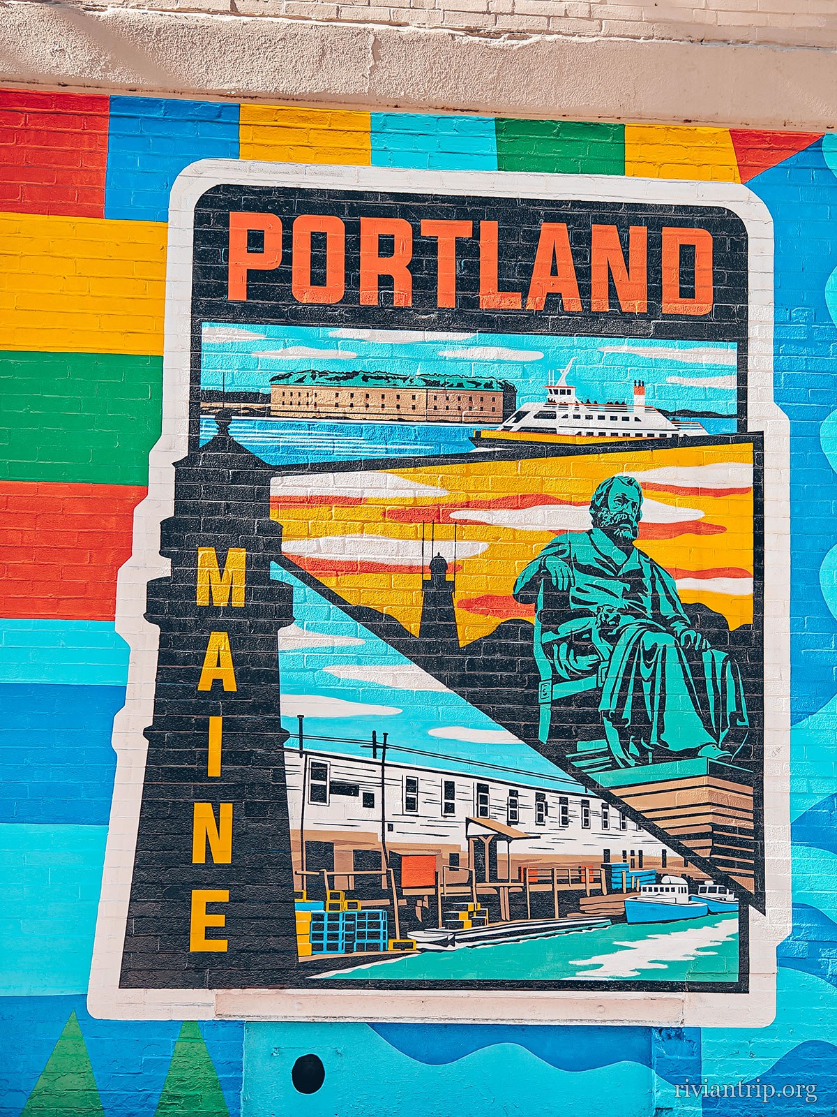
A brightly coloured “PORTLAND MAINE” mural
Portland, in colour
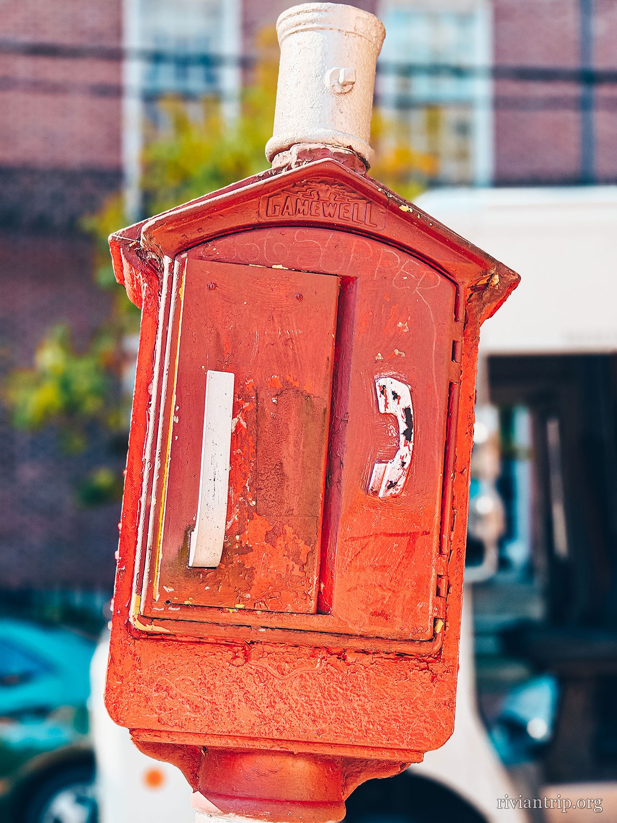
A red fire alarm box on its post
A Portland street, in the brick of the Old Port
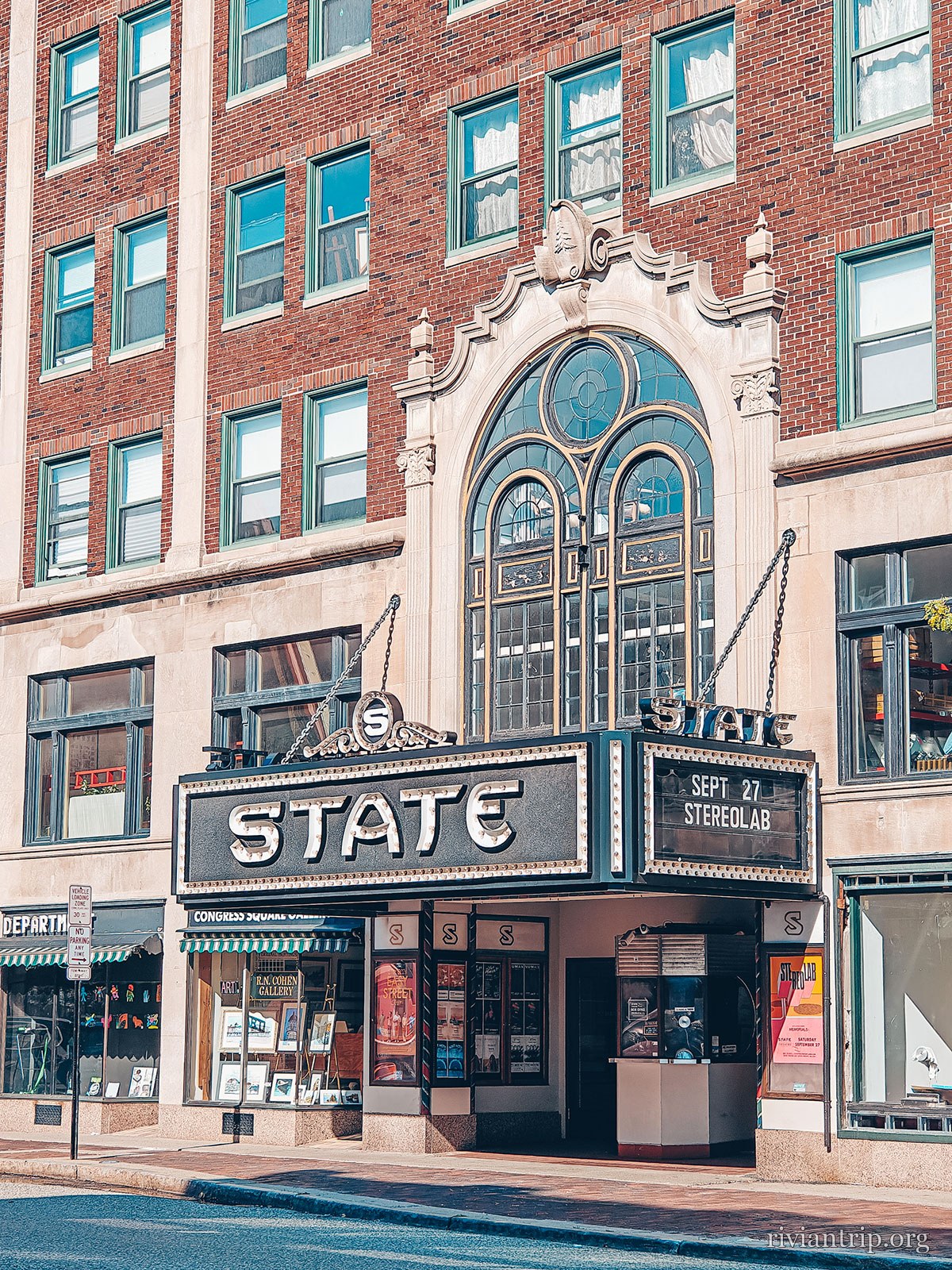
The facade and marquee of the State Theatre
The State Theatre
A Portland street, in the brick of the Old Port
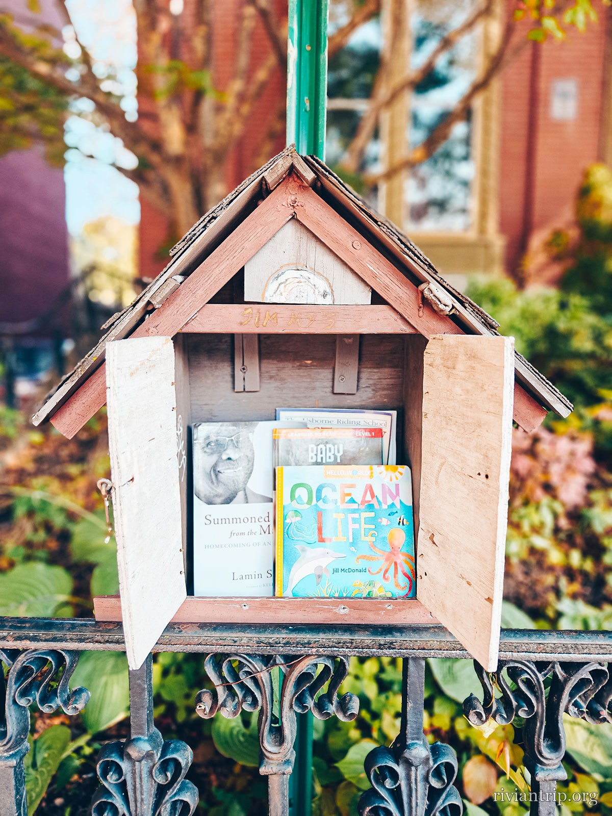
A little free library fixed to a post
A Portland street, in the brick of the Old Port

The fire

4 July 1866

1,500 buildings destroyed · 10,000 homeless
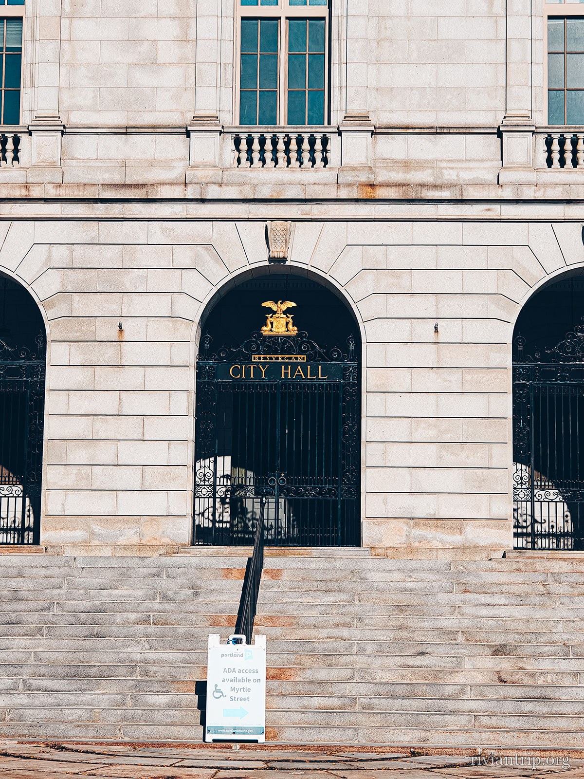
The city motto: Resurgam

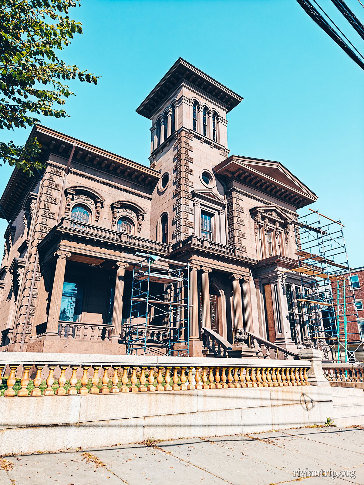
Victoria Mansion

An Italianate villa of 1858, left almost intact, furniture included.
Detours
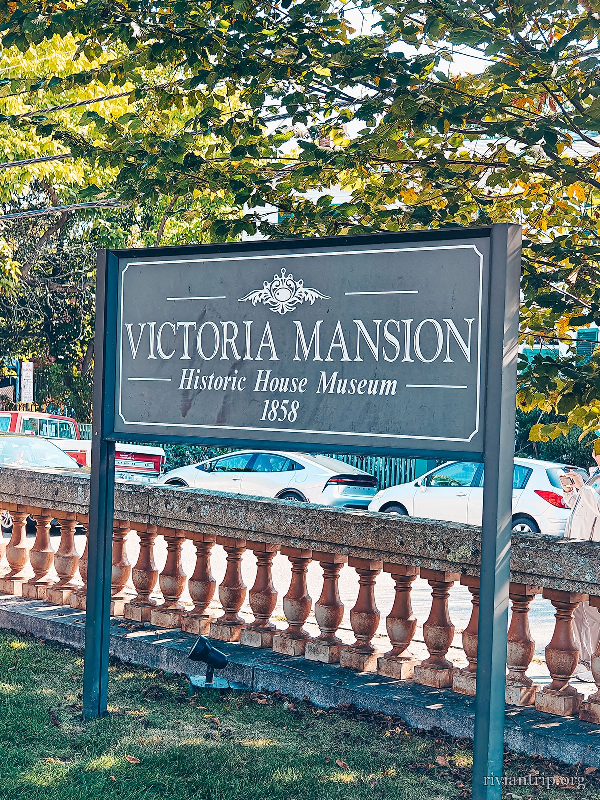
The sign for the Victoria Mansion house museum, built 1858
Victoria Mansion, 1858
The brownstone Victoria Mansion and its square tower
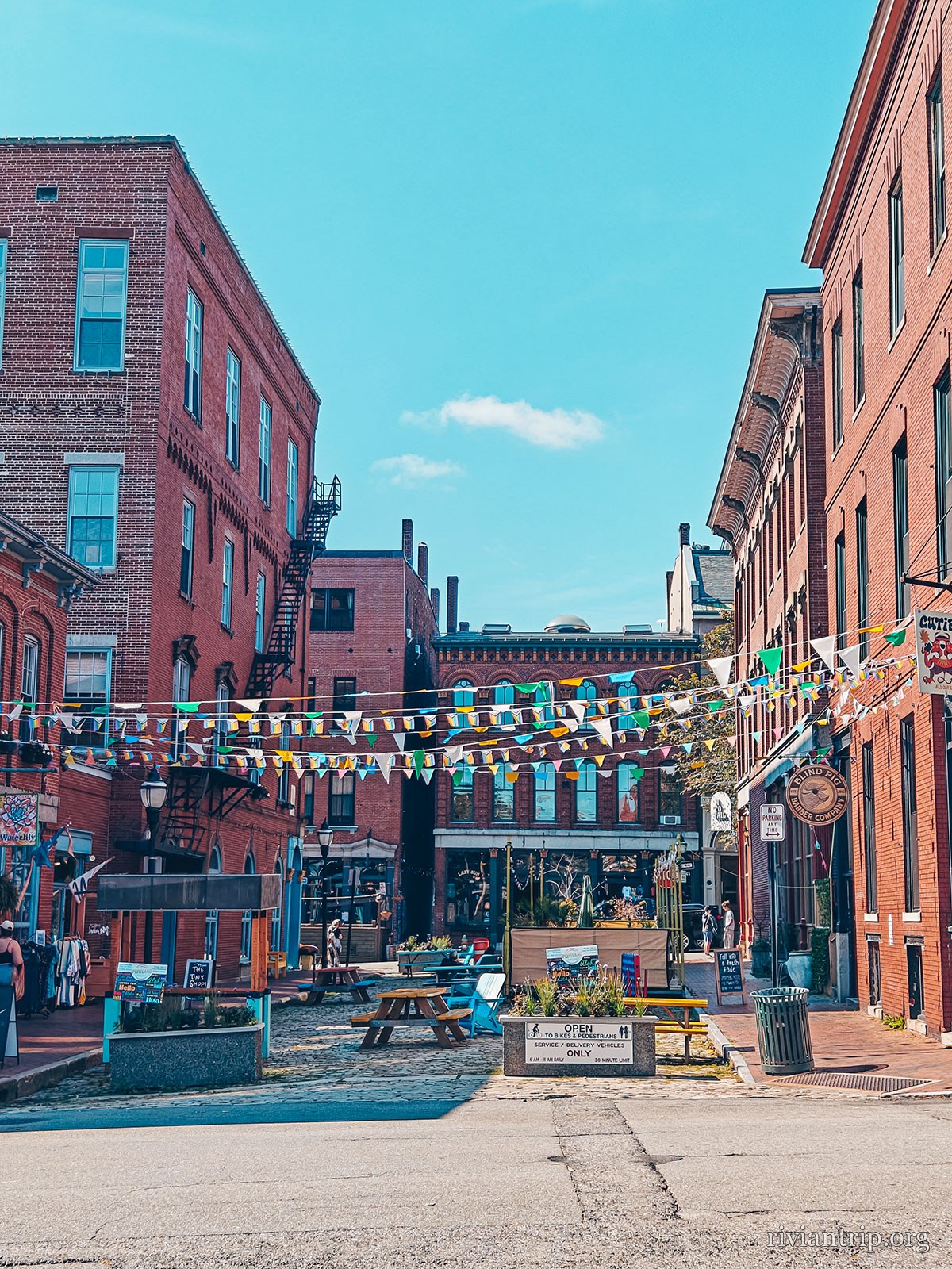
Wharf Street strung with bunting between its brick walls
Wharf Street
A Portland street, in the brick of the Old Port
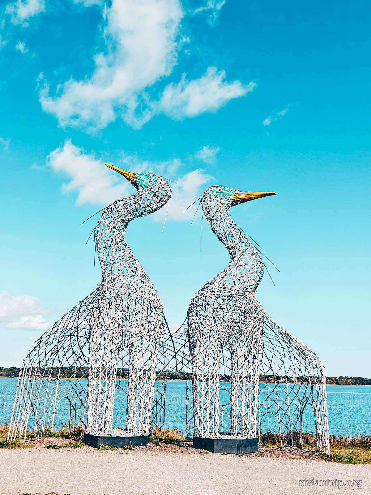
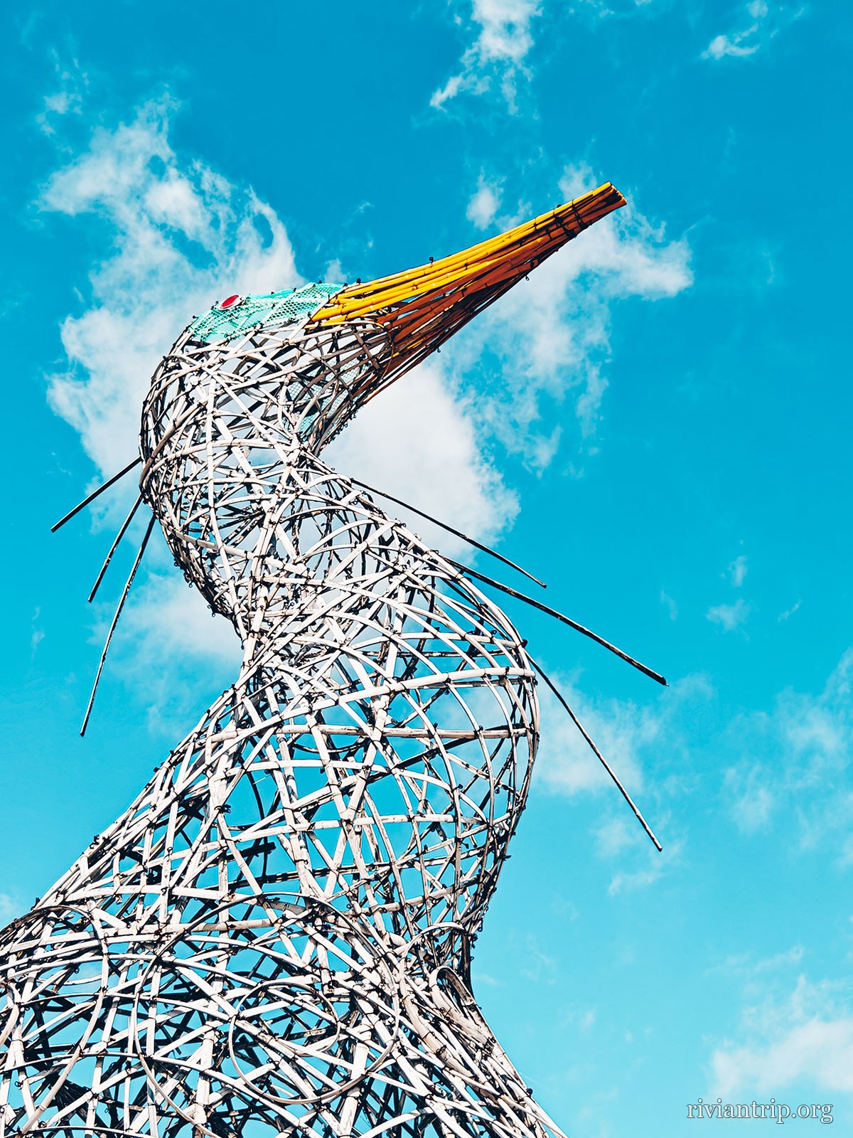
Two tall openwork metal herons standing against the bay
The herons on the waterfront
An openwork metal heron, beak raised to the sky
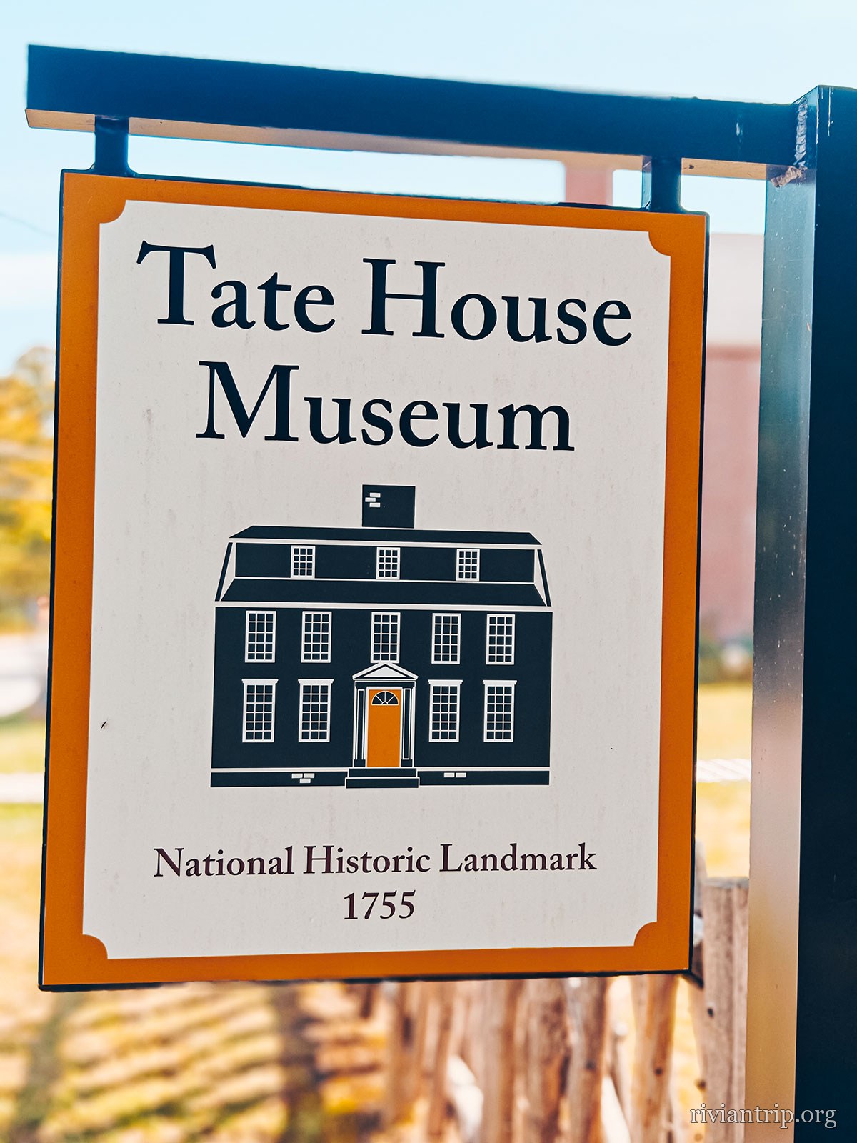
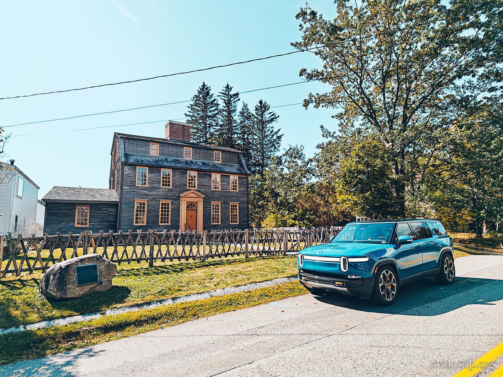
Tate House
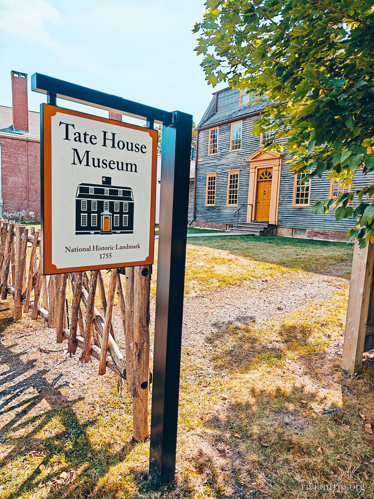
The Tate House Museum sign, a National Historic Landmark of 1755
Tate House, 1755
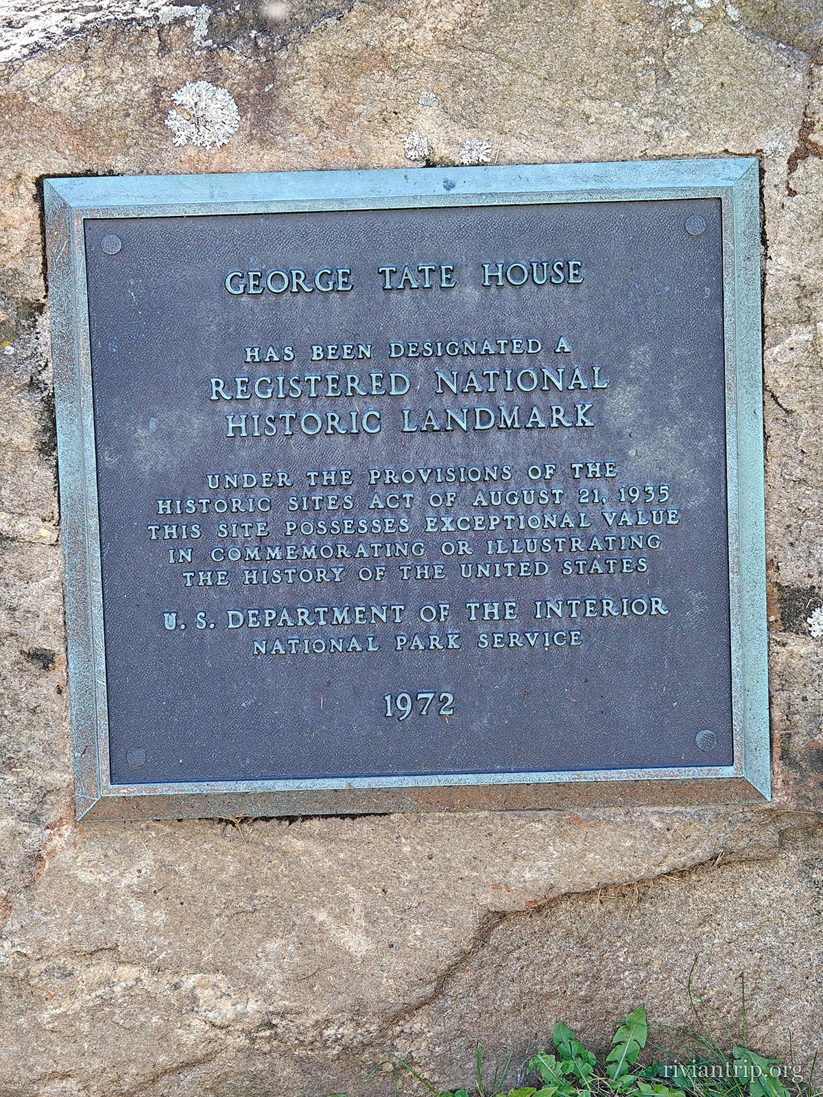
Tate House, built in 1755 in the Stroudwater neighbourhood
A bronze plaque set into a stone block
The grey clapboard house of 1755, the Rivian parked in front

The roof

An “indented” gambrel: between the two slopes, a recessed band of windows. Only two like it survive in all of Maine.

The king’s masts

Any pine over twenty-four inches belonged to the king: three axe strokes in a broad arrow marked it, and felling it was an offence.

George Tate

1700 — 1794

A deep-sea captain in the Baltic mast trade, he came from Rotherhithe, south London, in 1751 with his wife Mary and their four sons. Senior mast agent to George II for the Province of Massachusetts Bay, he had the house built in 1755.

The admiral

The third son, George Tate II, went into the Russian imperial navy: Alexander I made him an admiral and a senator. He died in Saint Petersburg in 1821.

The family stayed through the Revolutionary War and lost the house to bankruptcy in 1803; it was then rented out and divided into two flats. The museum records that enslaved and Indigenous people also lived under this roof. George Tate died in 1794, aged 94, and lies in Stroudwater Burying Ground.

05

Eartha

Yarmouth · heading home on US Route 1
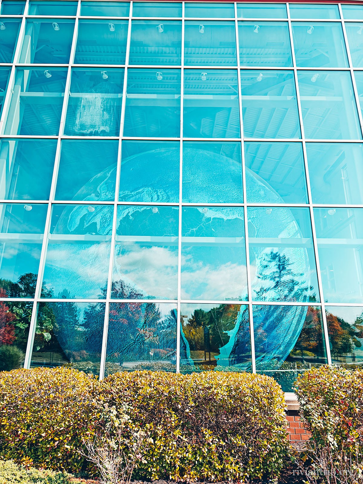
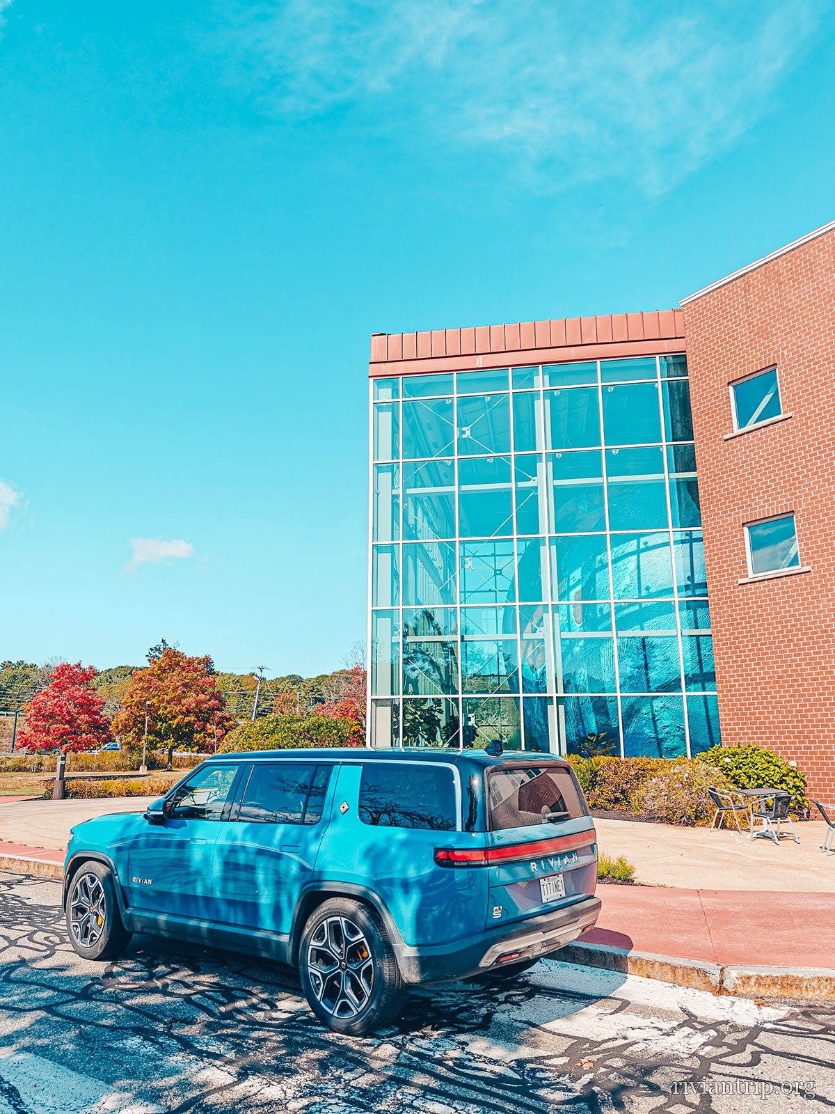
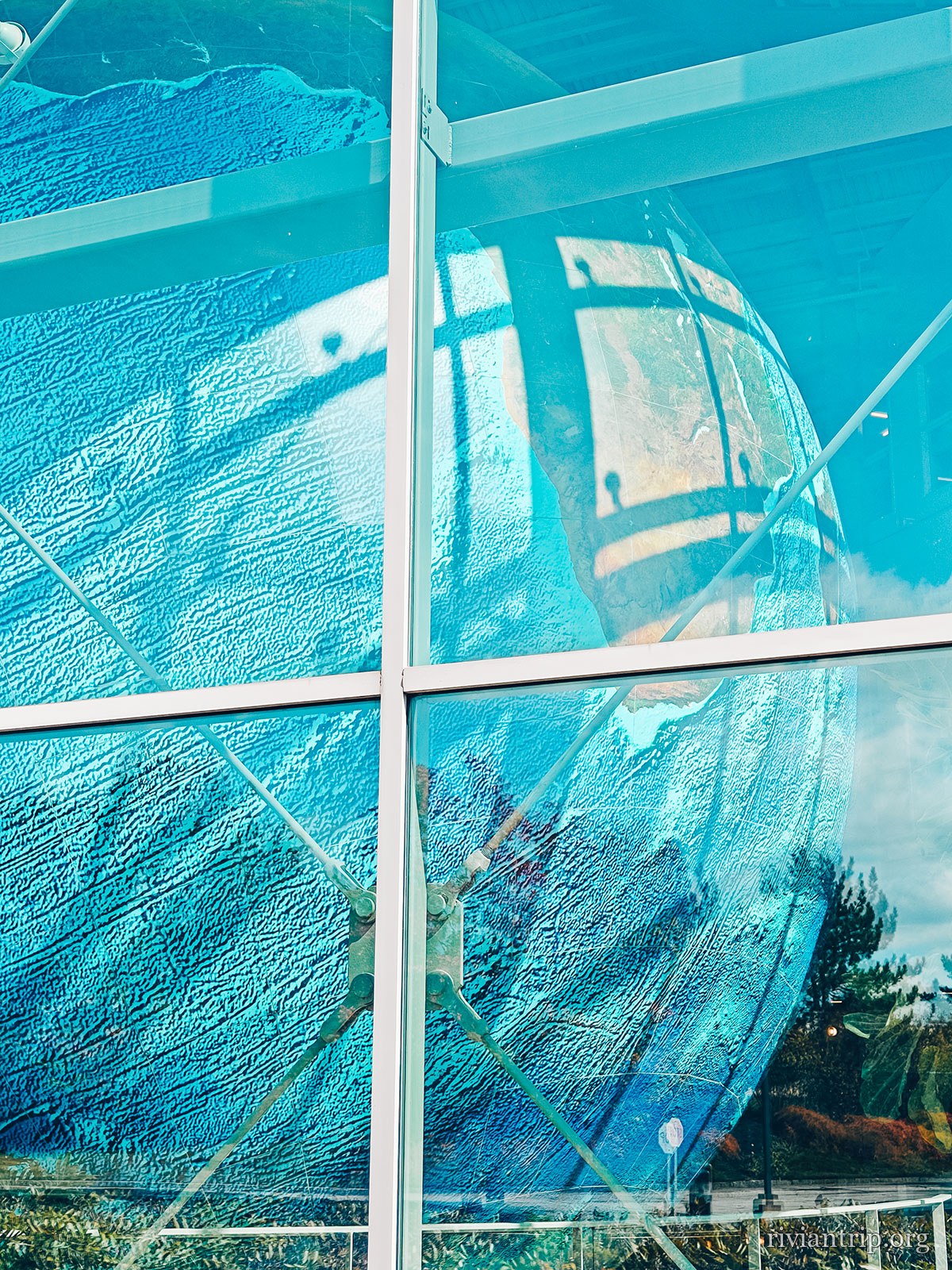
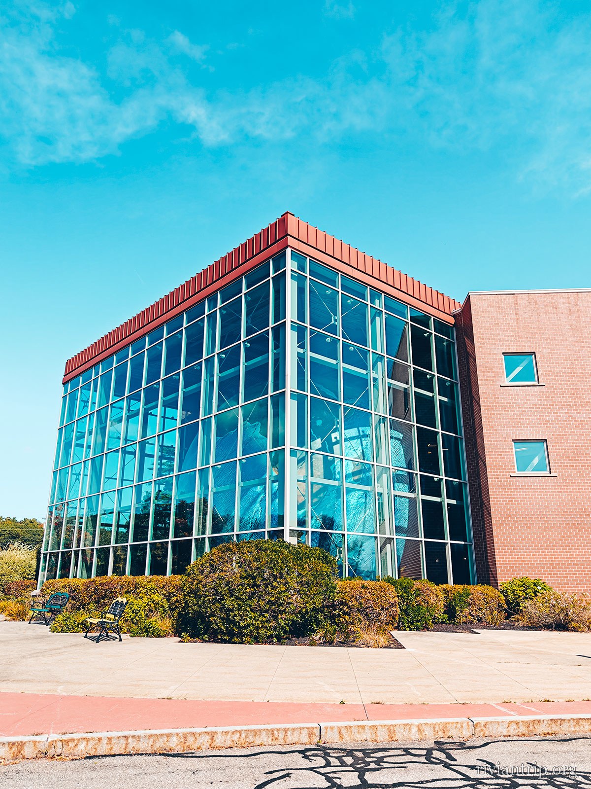
For the way home we took US Route 1 North, a road that gradually brings back the feel of the small coastal towns of Maine. First surprising stop: Eartha, in Yarmouth. Behind the glass of the former DeLorme mapping company building sits a giant globe more than 41 feet across. Eartha is recognised today as the world’s largest rotating and revolving globe. Built at a scale of 1:1,000,000, it renders our planet with striking precision. The whole thing is designed as a monument to geography and to exploration. It is hard to drive past without wanting to stop.
The glass atrium that houses Eartha, in Yarmouth
The glass atrium of the former DeLorme headquarters in Yarmouth
Eartha, behind its glass wall
The glass atrium that houses Eartha, in Yarmouth
The Eartha globe glimpsed through the atrium glazing
The glass atrium that houses Eartha, in Yarmouth

DeLorme

The large-format “Maine Atlas & Gazetteer”, which David DeLorme sold out of his car in 1976. The globe stayed when the company left.

US Route 1

The way home follows the coast: the small towns of Maine come one after another.

The detour

Yarmouth

It is hard to drive past without wanting to stop.

The scale

12,5 m

1:1,000,000 — one millimetre to the kilometre. Everest is nine millimetres tall.

It turns

Eartha does not merely spin: it rotates AND revolves, tilted 23.5° on its axis, like the Earth.

06

Freeport

L.L.Bean · since 1912
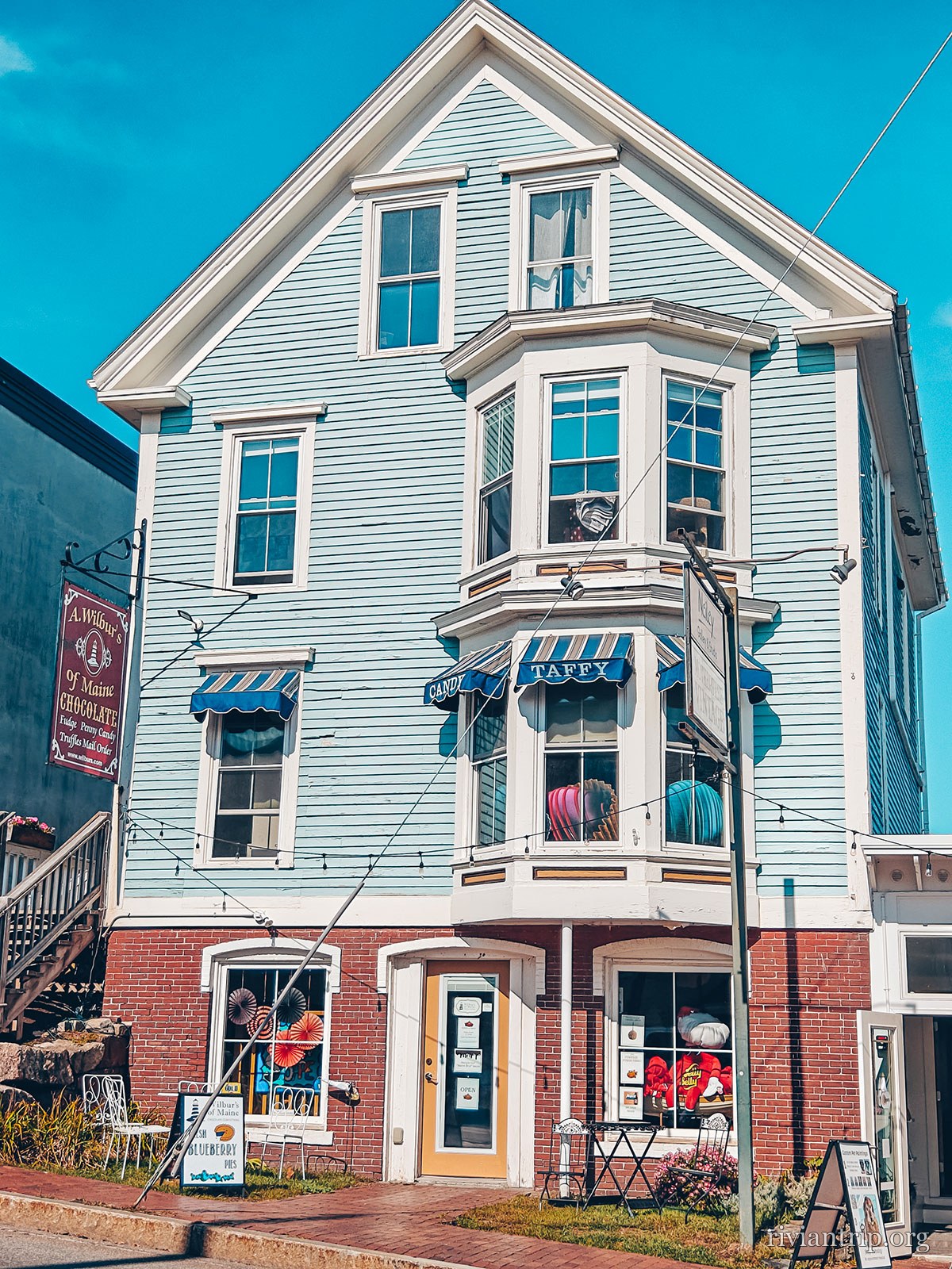
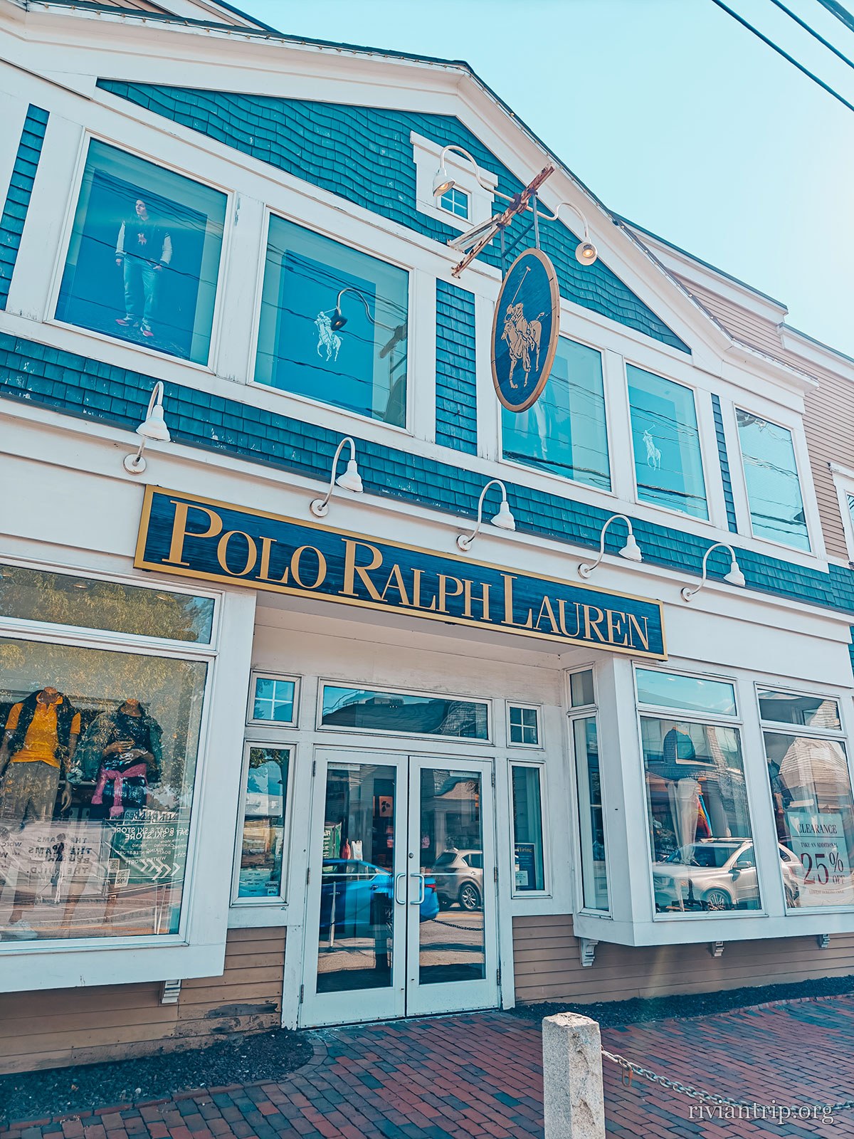
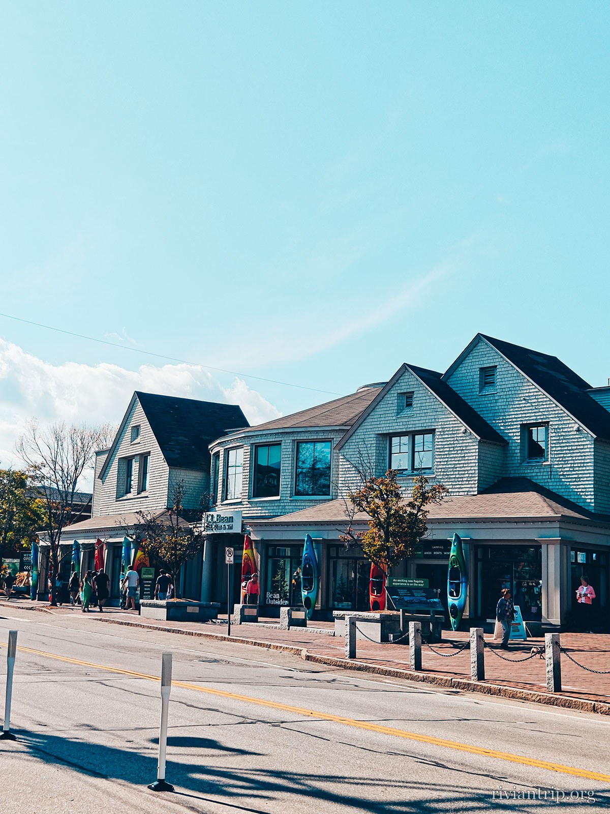
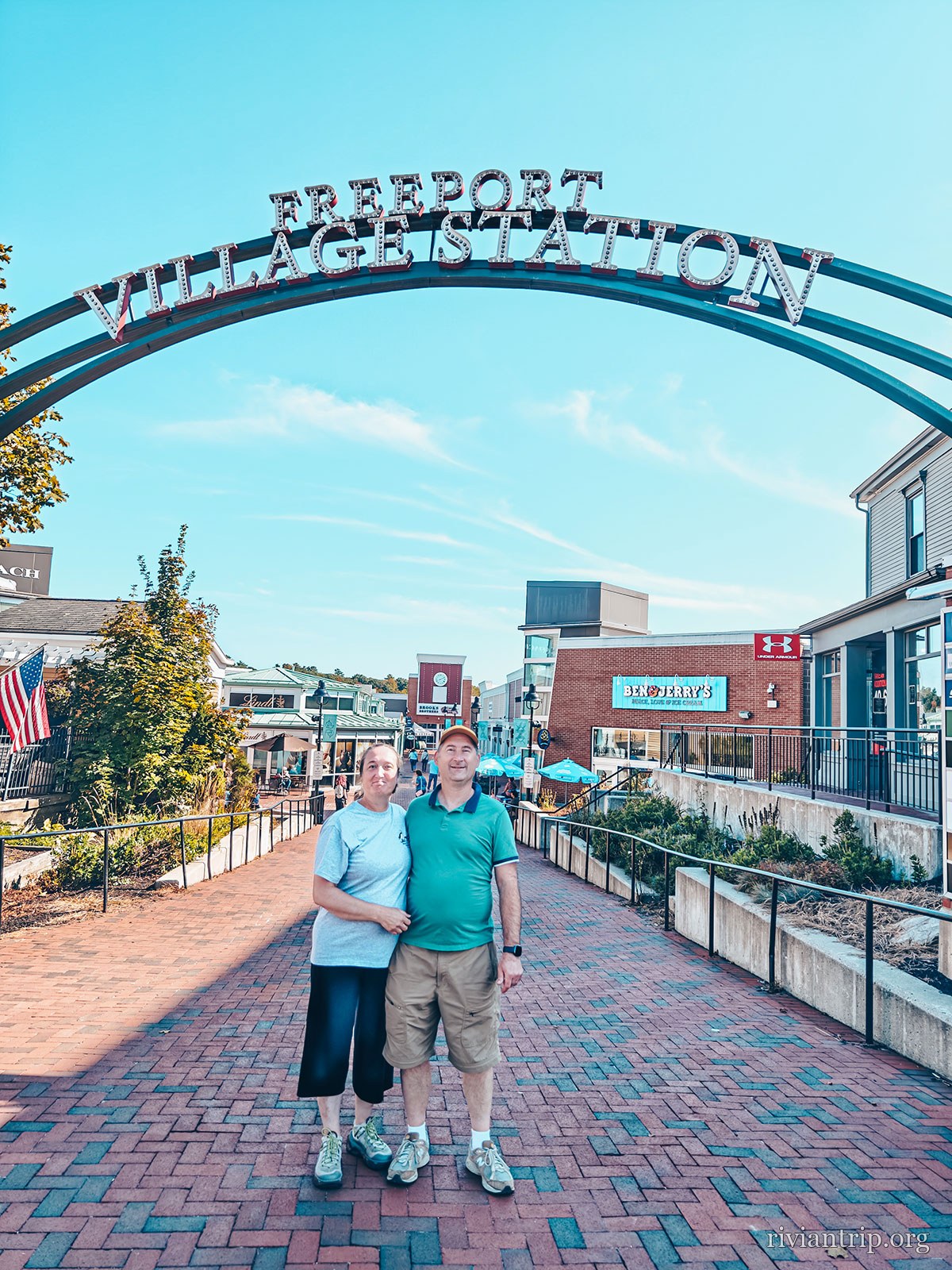
A little further on we reach Freeport, the outdoor shopping capital of Maine. The town is known for its factory outlets, its outdoor clothing shops and its seafood restaurants. It is a place where you can still feel the soul of New England. This is where L.L.Bean began. The company was founded in 1912 around the famous Maine Hunting Shoe, designed by Leon Leonwood Bean to keep his feet dry on his outings in the woods. Today its huge flagship store has become almost an attraction in itself. And before getting back on the road, it is impossible to leave Freeport without an ice cream.
The town
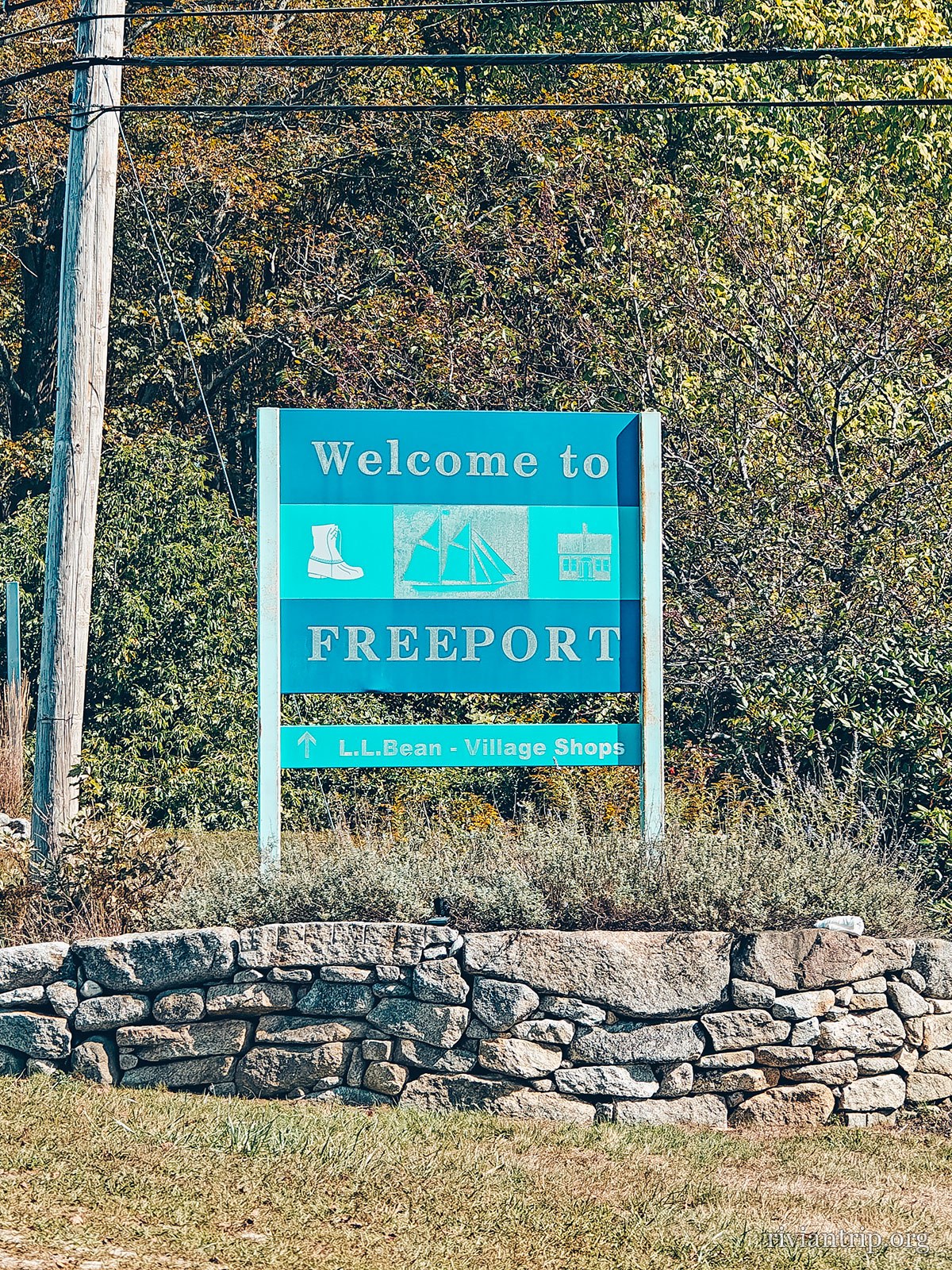
The “Welcome to Freeport” sign
Freeport
Freeport, its shops and white clapboard houses
A blueberry ice cream held up in one hand
Blueberry, of course
Freeport, its shops and white clapboard houses
The Freeport arch over the brick sidewalk
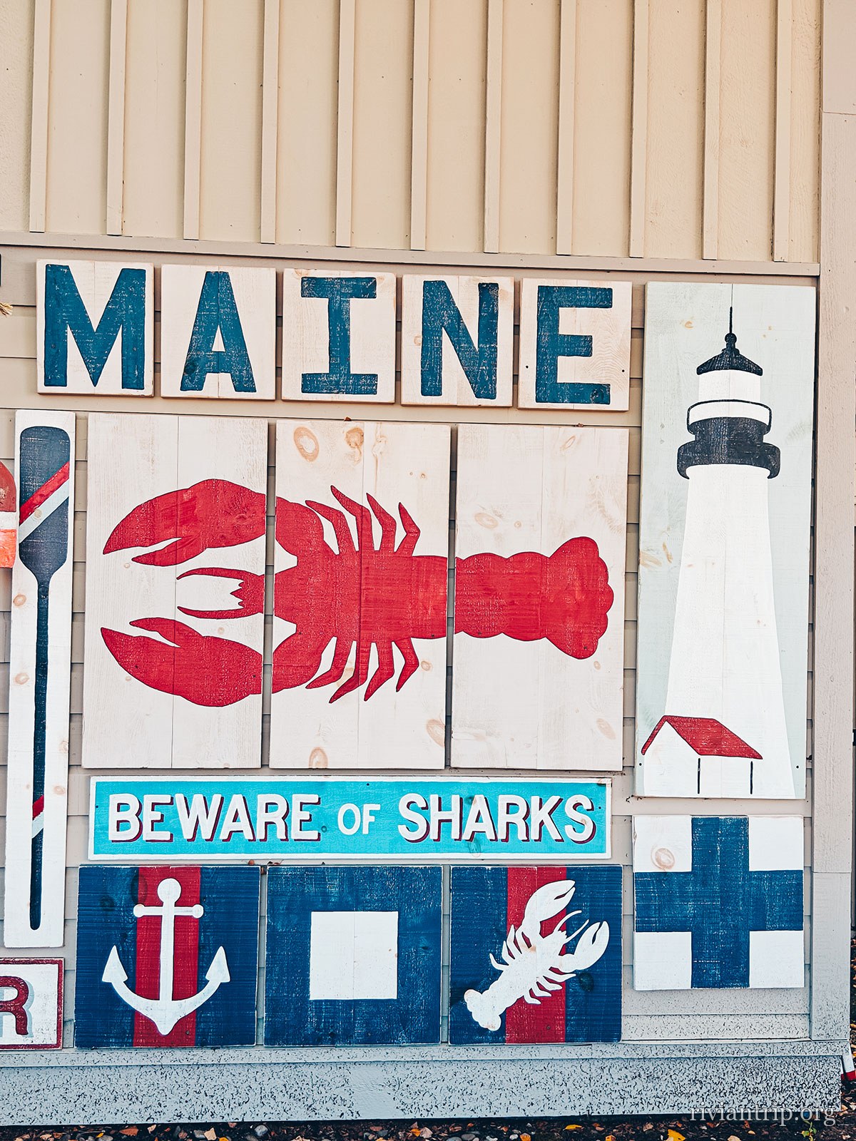
A mural reading “MAINE · Beware of sharks”, with a painted lobster and lighthouse

The Harraseeket

Freeport’s deepwater harbour, and one of the better sheltered anchorages in Casco Bay. The town has 37 miles of tidal coastline and several inhabited islands.
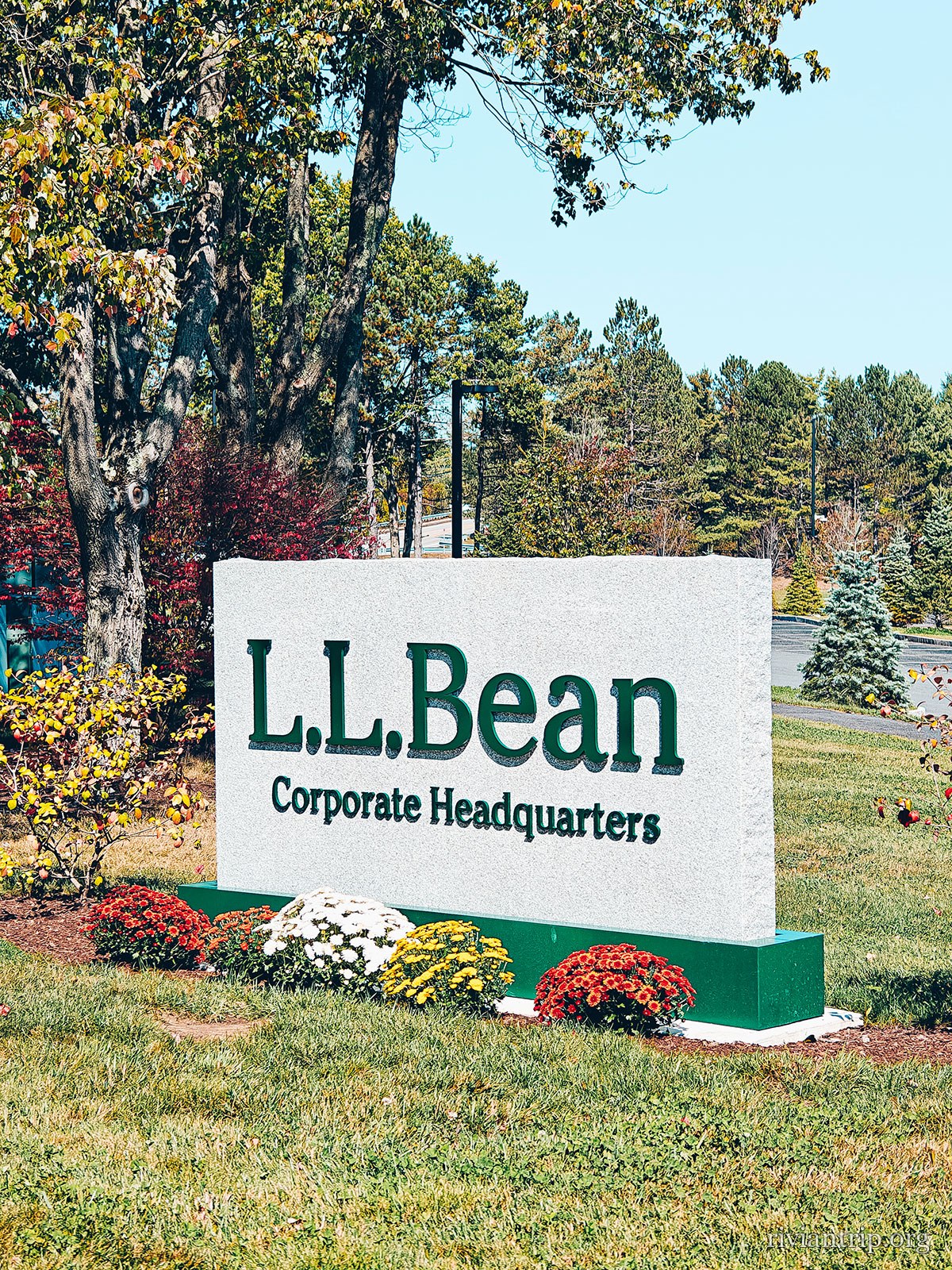
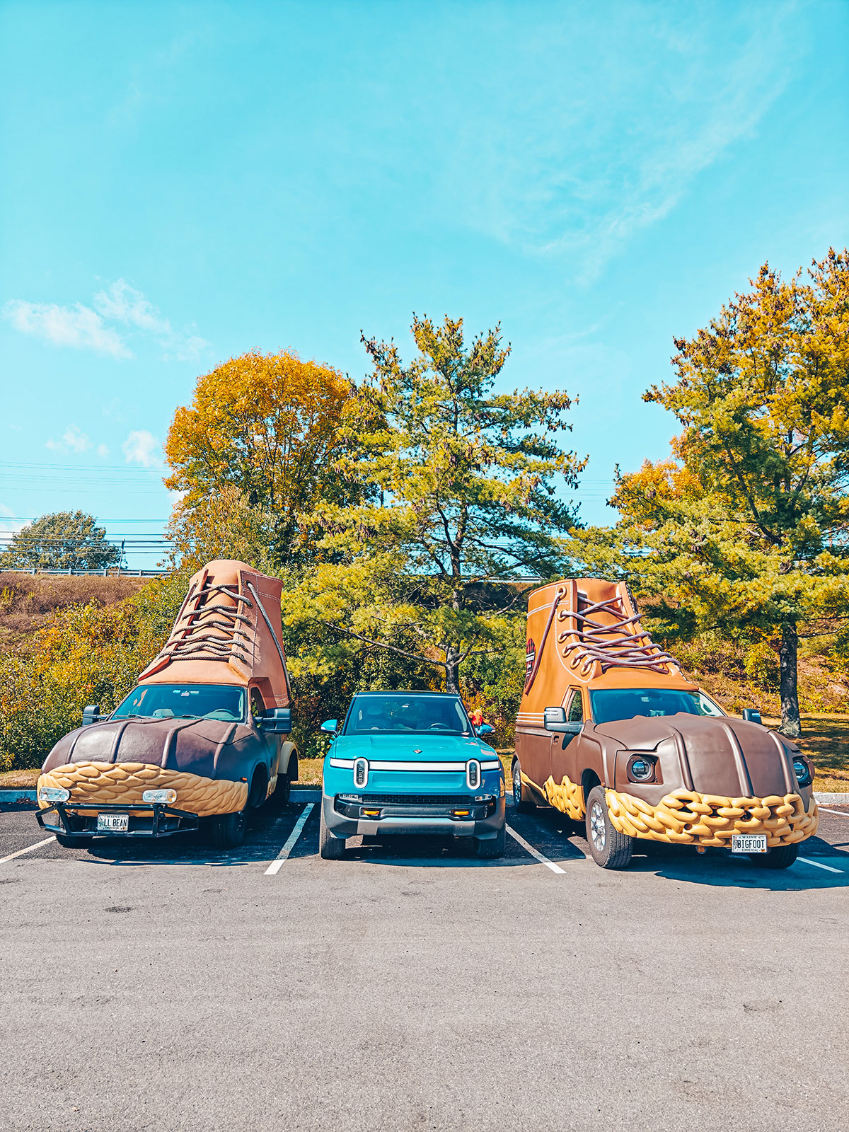
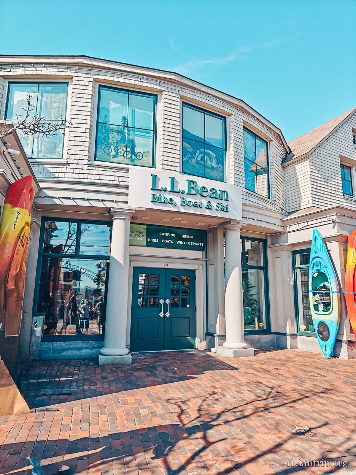
L.L.Bean
The stone sign of the L.L.Bean headquarters
L.L.Bean, since 1912
The L.L.Bean headquarters, in Freeport
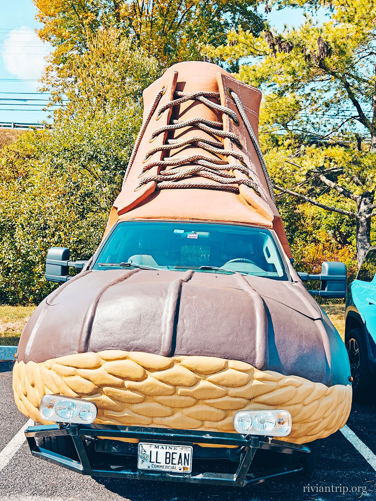
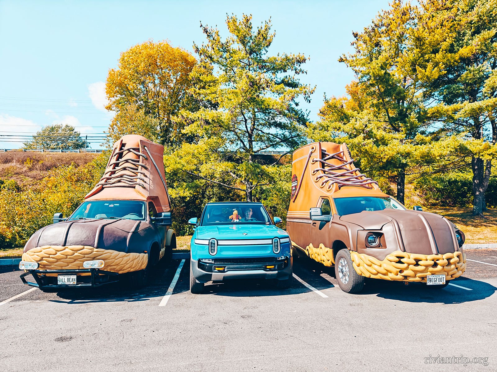
The giant L.L.Bean boot, taller than the car parked beside it
The Bean Boot, scaled up
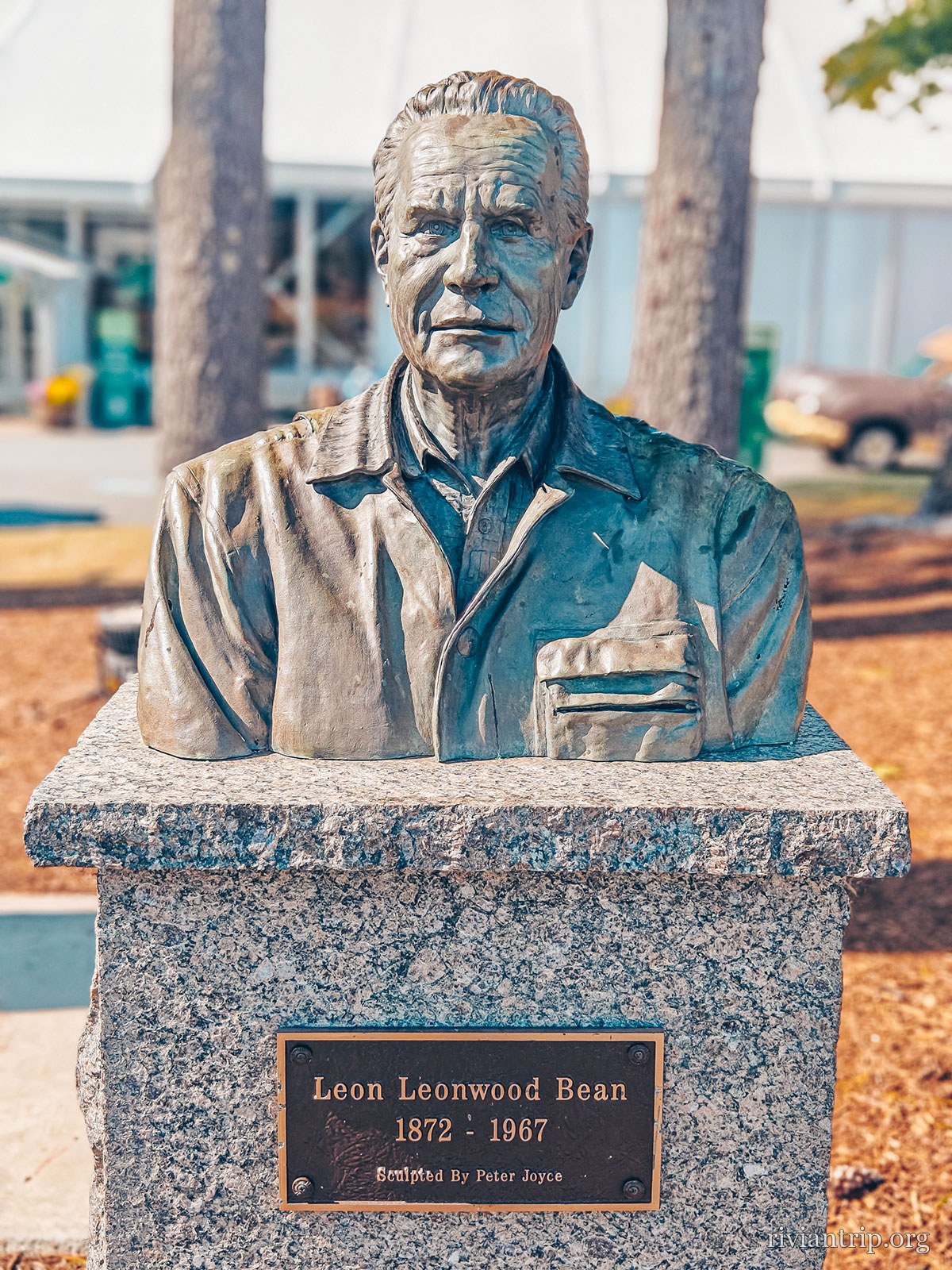
The bronze bust of Leon Leonwood Bean, 1872–1967
Leon Leonwood Bean
The L.L.Bean headquarters, in Freeport

The store

Open 24 hours

Without a break since 1951 — there is no lock on the front door.

The Maine Hunting Shoe

A leather upper stitched to a rubber shell, to keep the feet dry in the woods.

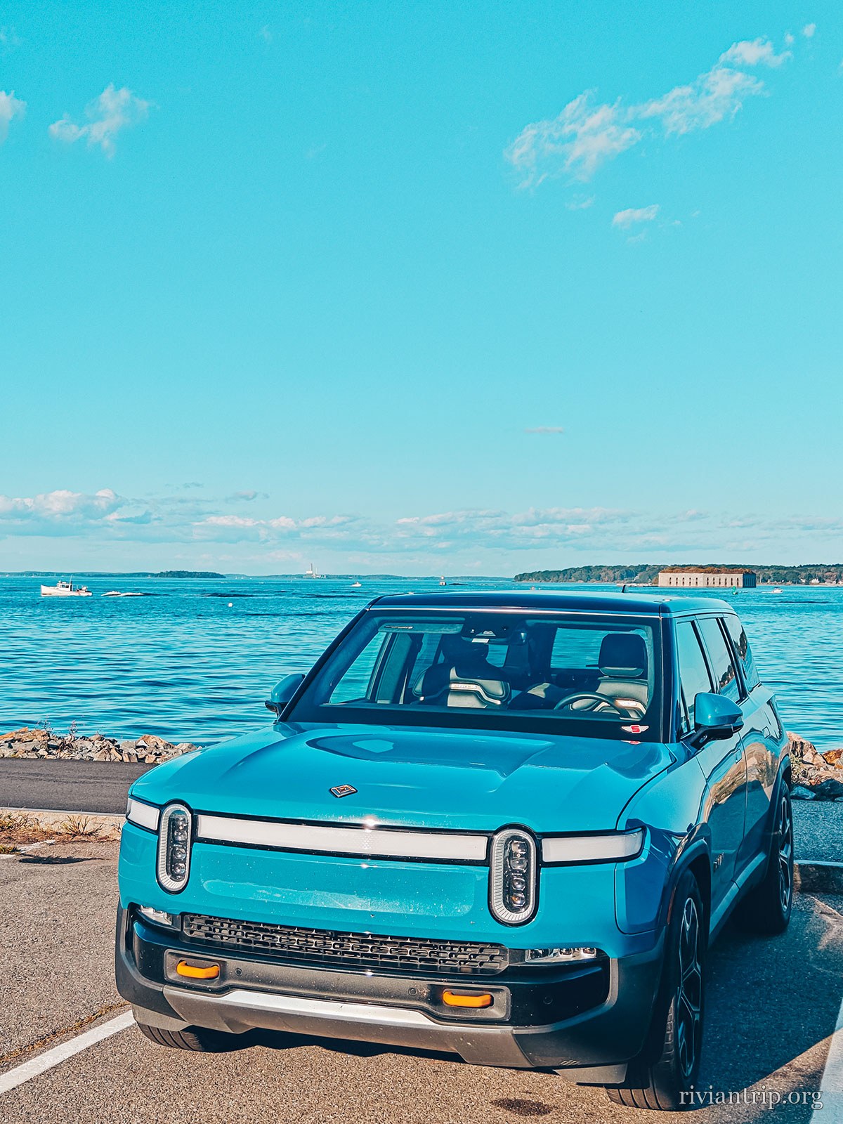
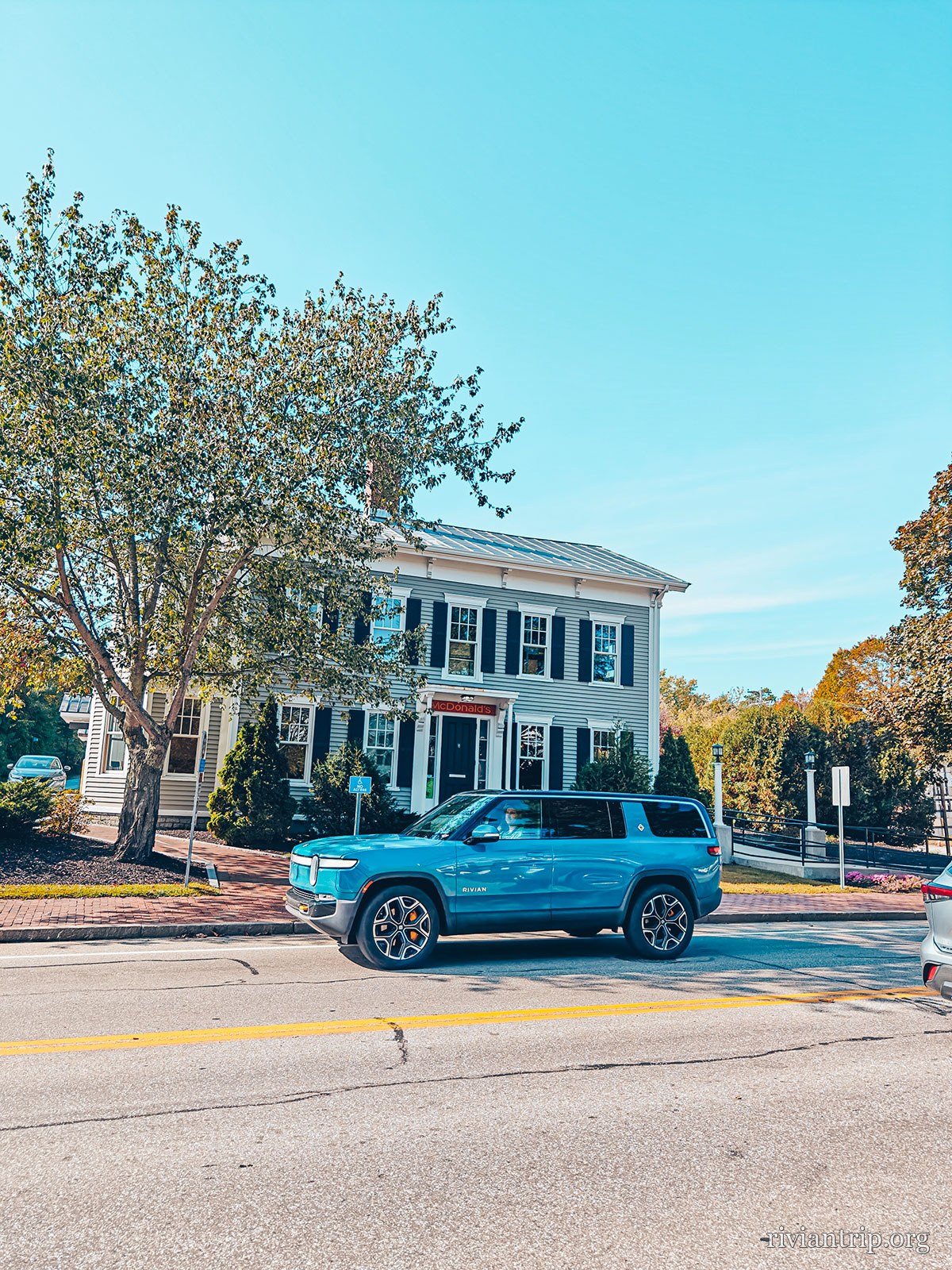
The Rivian R1S on the way home
← back to Granby last stop · Paris, Maine
07

The way home: Paris, Maine

inland · back towards Quebec
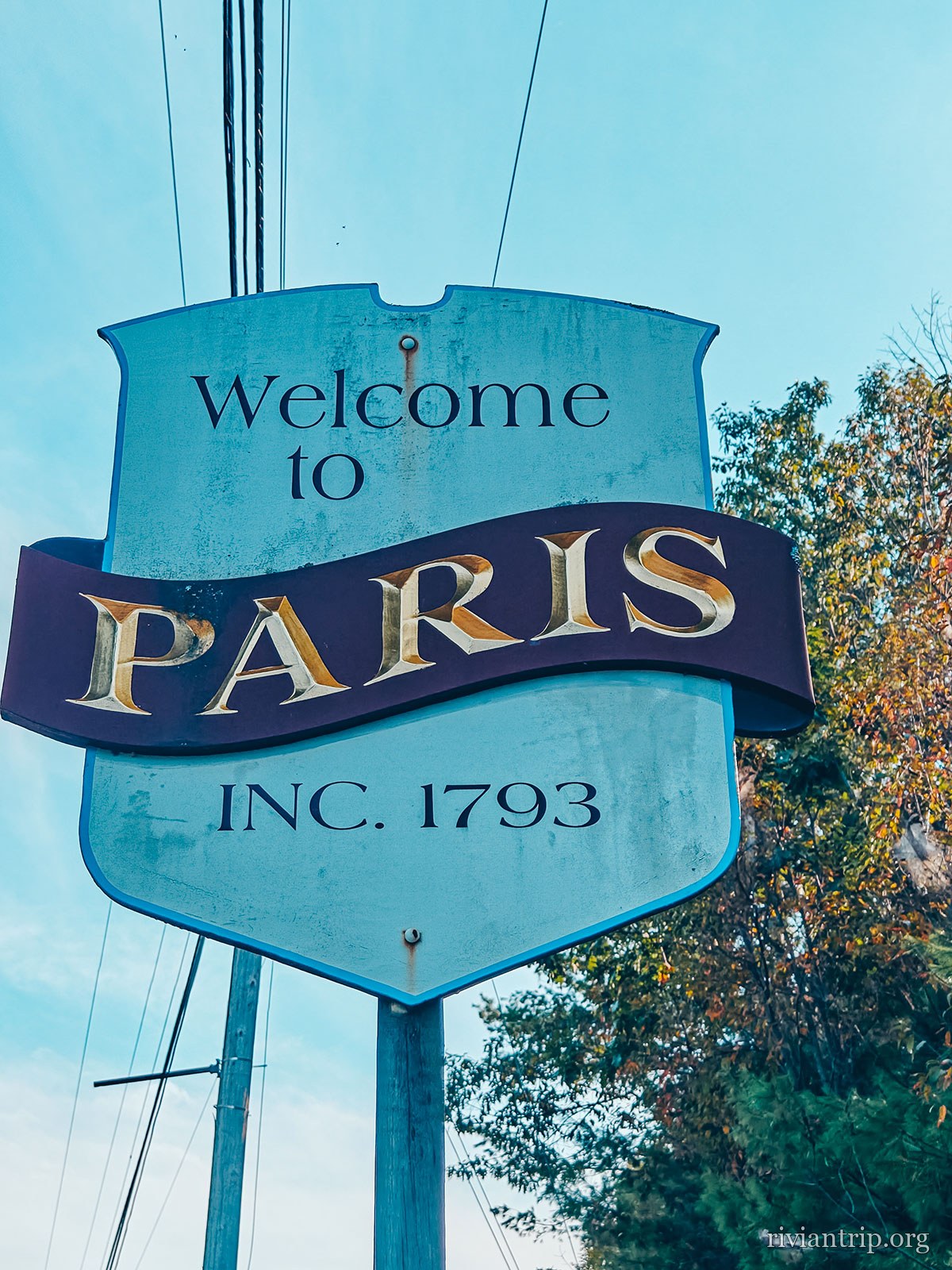
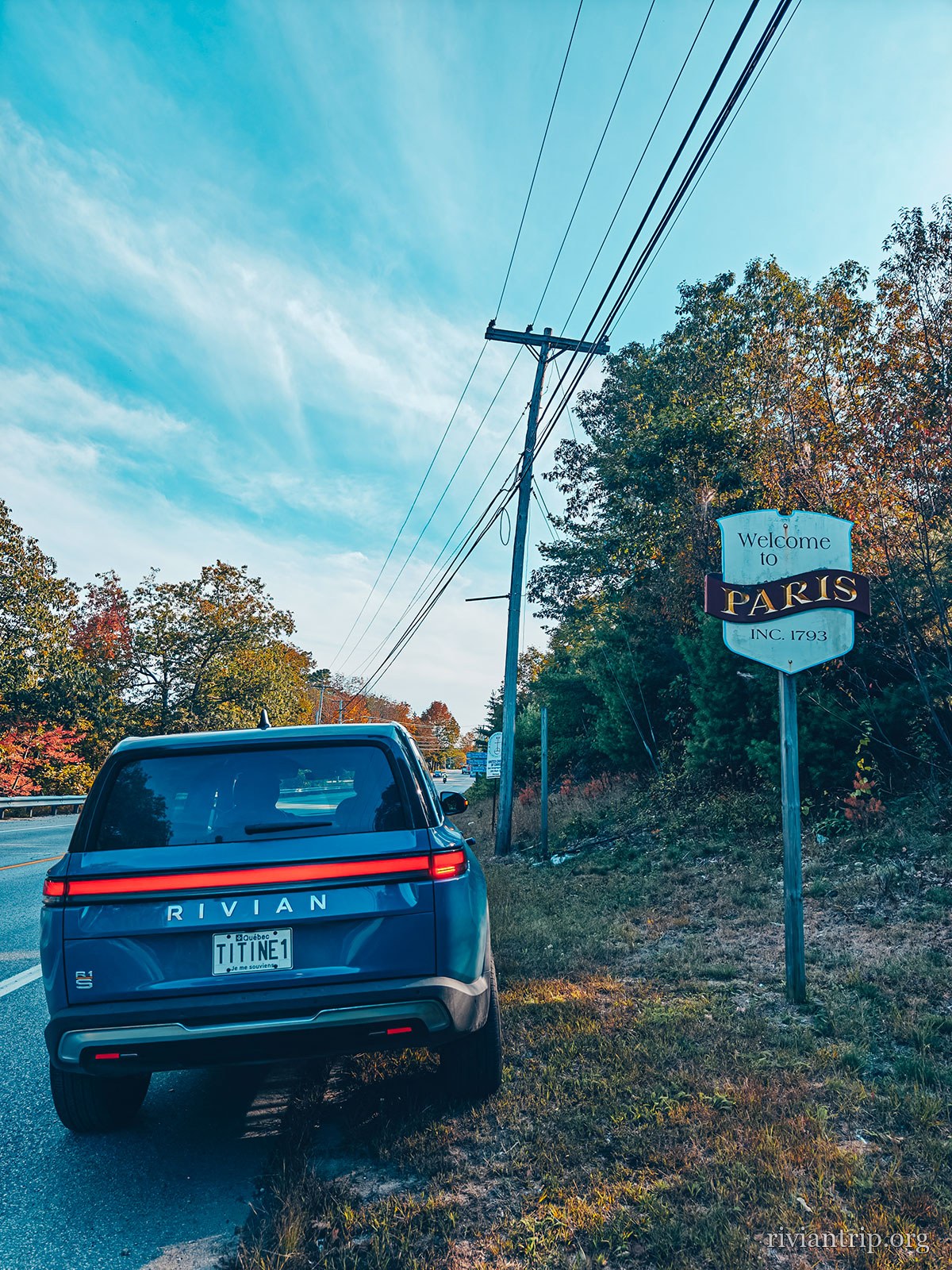
The road then takes us back inland, as far as Paris, Maine. The name raises a smile, but what the village really has is a very New England charm. At Paris Hill, the old houses and the nineteenth century public buildings form a remarkably well preserved whole, in mostly Federal and Greek Revival style. The village is on the National Register of Historic Places and gives a fascinating glimpse of Maine life in the nineteenth century. After the beaches, the lighthouses, the harbour and the shops of Freeport, the country has turned rural again. Silence rules the roads, and the miles go quietly by between the forests and the back roads of Maine. Then comes the moment to head back towards Quebec. A fairly short weekend in the end, but one that took us through several faces of New England: the mountains of New Hampshire, the vastness of the Atlantic, the lighthouses of the Maine coast, the harbour air of Portland and the small towns that seem to have kept a part of their history. As so often, it is not only the destination that counts. It is also everything you find between leaving and coming home.
Paris Hill
The crested sign “Welcome to PARIS · Inc. 1793”
Paris, Maine
The sign for Paris, Maine, incorporated in 1793
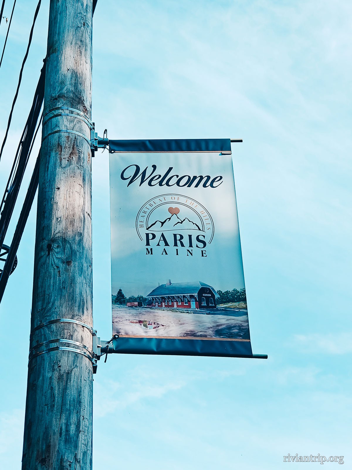
A street banner reading “Welcome · Paris” on a lamp post

Paris, Maine

Inc. 1793

Oxford County · on the National Register of Historic Places

Paris Hill

Old houses and nineteenth century public buildings, Federal and Greek Revival.

The silence

After the coast the country turns rural again: forests and back roads, and hardly anyone.

Coming home

As so often, it is not only the destination that counts — it is everything you find between leaving and coming home.

All trips · Home