White Mountains notebook · the complete album
the road to
Mount Washington
From Granby to the summit of Mount Washington along Route 302 and the Auto Road, and back — the whole trip, in the order we lived it: every stop, every bend, every view.
The route
Granby → Mount Washington → Granby
There and back in a day
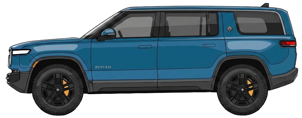
The car
Rivian R1S
There and back in a day
The line
it all leads
to the summit
Granby → 105 → 302,
then the Auto Road — 7.6 miles.
Reading the map
- a stop along the way
- the way out, to the summit
- the way home, to Granby
- the Connecticut River
The departure
Granby, 4 a.m.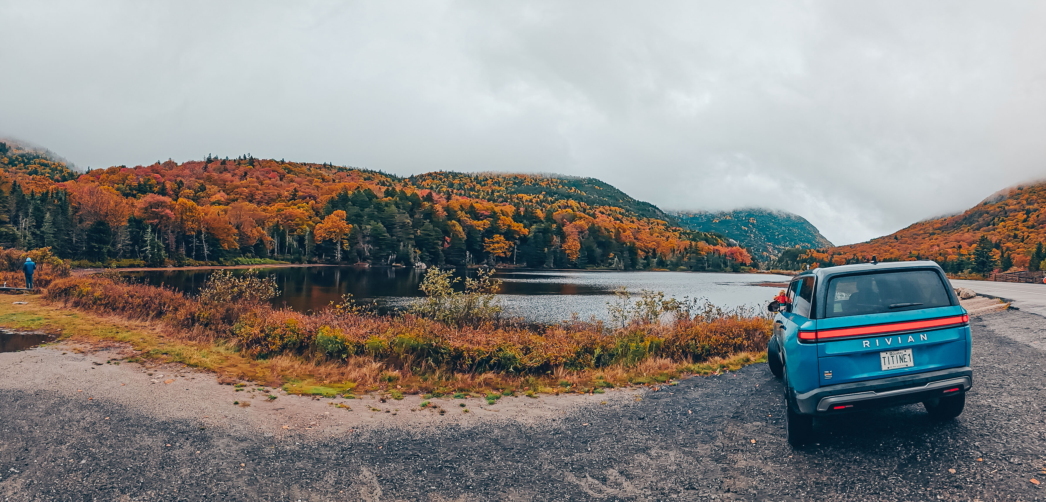
There are trips you plan for weeks. And then there are the ones that live in you long before you ever leave. When the alarm went off around four in the morning, Quebec was still asleep under a perfectly clear sky. The streets were deserted, the houses lost in darkness, and above us thousands of stars seemed to be watching over the start of the journey. The Rivian R1S was waiting in the driveway. Silent. Ready.
The route
Granby → Mount Washington → Granby
There and back in a day
The start
4 hQuebec is still asleep, the sky perfectly clear.
The season
Late October: the maples are at their peak, and the summit tundra has already turned rust.
The goal
1 917 mThe highest point in the continental Northeast, reached by road.
Vermont
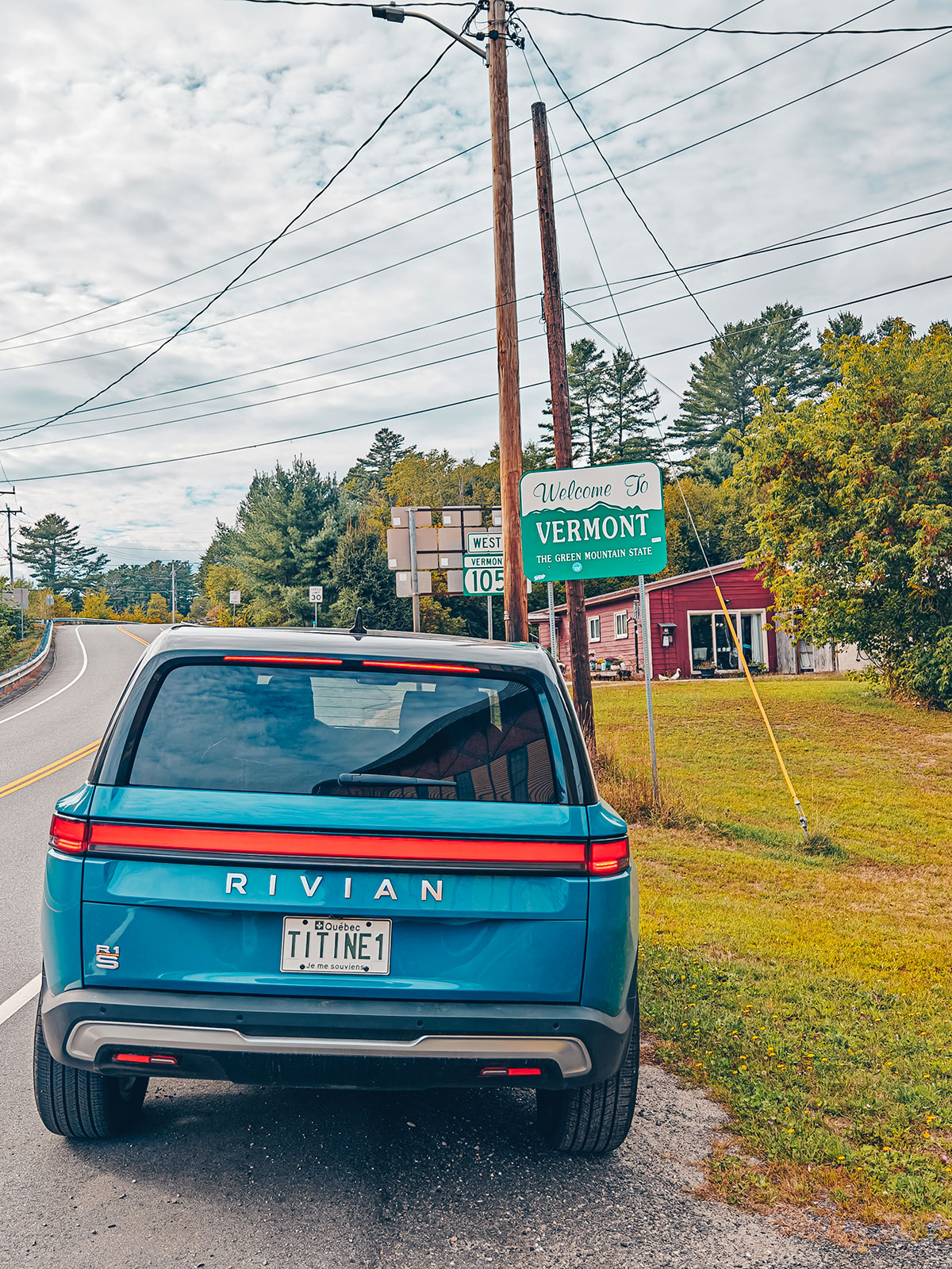
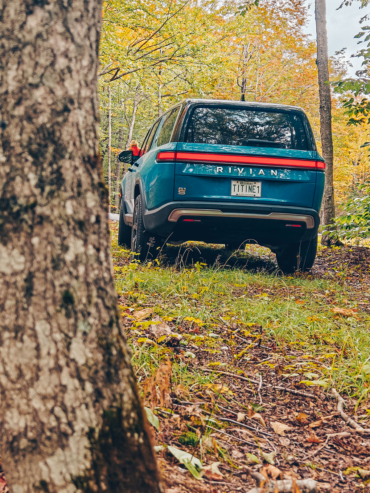
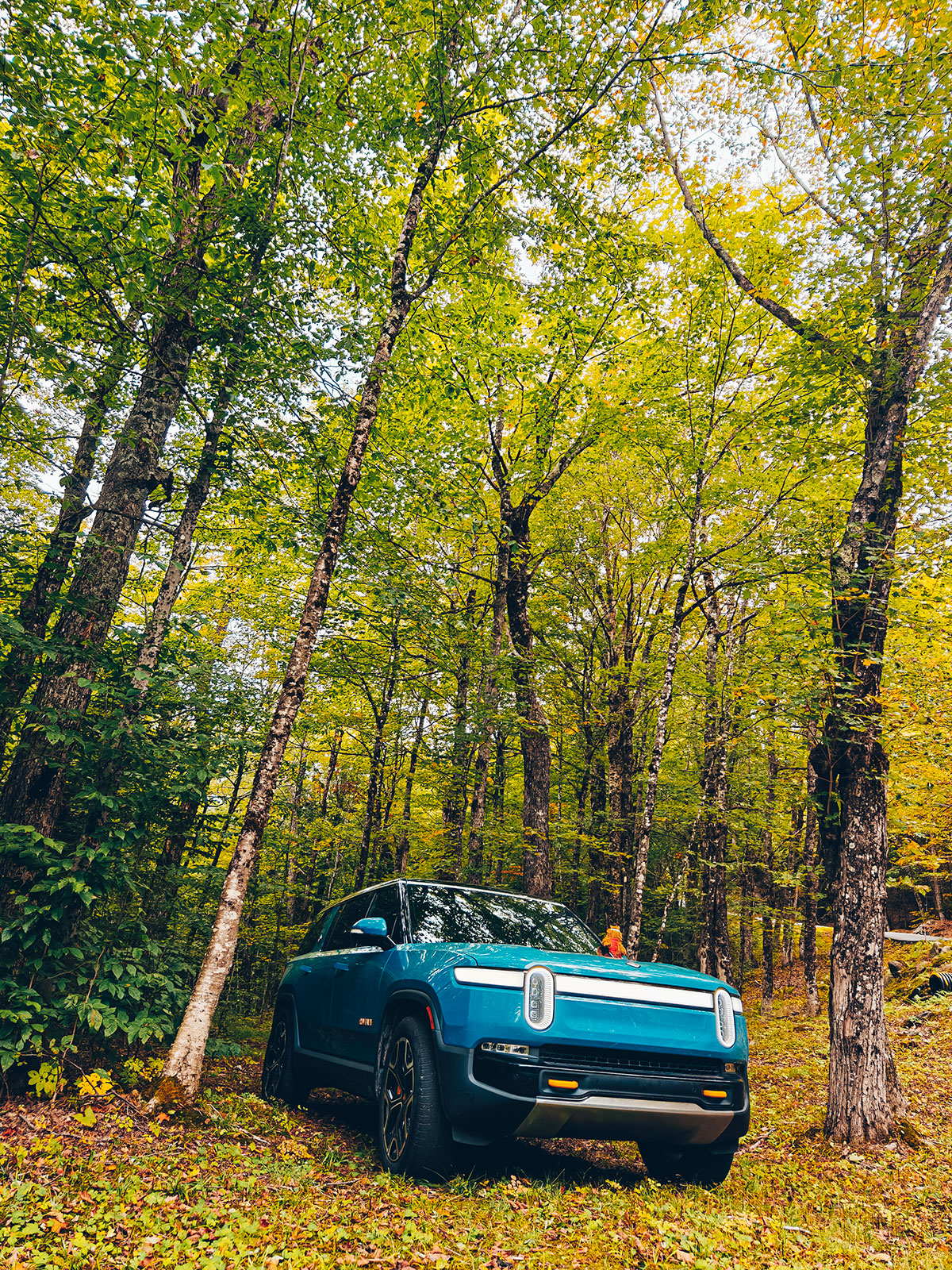
Route 105 EastAs the first light appeared, the maples caught fire under the golden rays of the rising sun. Then came Vermont, and Route 105 East — a road that seems to have been drawn for people who like to take their time. In the hushed silence of the Rivian, we could hear more of the world around us. The wind in the trees. The leaves dancing on the shoulder. We weren’t simply driving through the landscape: we were part of it.
The coat of arms
The pine and Green Mountains of its arms — Vermont calls itself the Green Mountain State.
The sign
The one you meet crossing the line, on Route 105 East.
The state
Vermont
“Green Mountain State” · motto: Freedom and Unity
Crossed by Route 105 East
The Nulhegan River
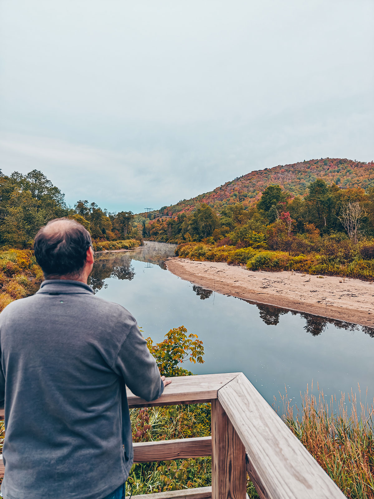
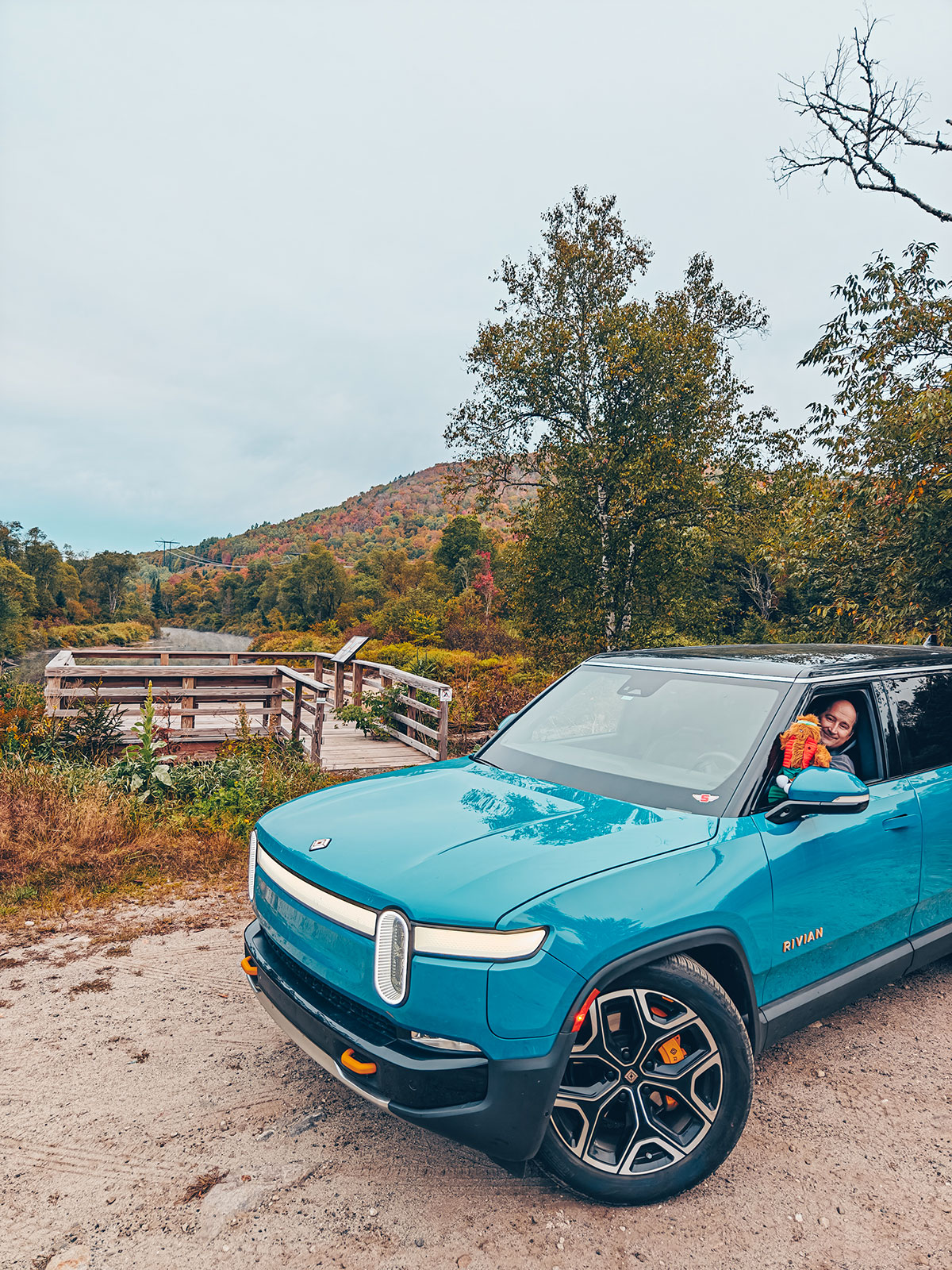
Essex County, VermontA little later, we stopped near the Nulhegan River. It was one of those places you expect nothing in particular from, and that ends up becoming a memory you keep. The water moved gently under the golden morning light, mirroring the red maples and the firs like an immense looking glass. No crowds. No traffic. Only the murmur of the river and the crack of damp wood under our steps. Time seemed suspended.
The river
Nulhegan
24.3 km · a tributary of the Connecticut
Essex County, Vermont
The basin
The Nulhegan rises from a pond in Brighton and joins the Connecticut at Bloomfield. Its basin is one of the remotest corners of Vermont.
The silence
No crowds, no traffic — only the murmur of the water and the crack of damp wood underfoot.
The bank
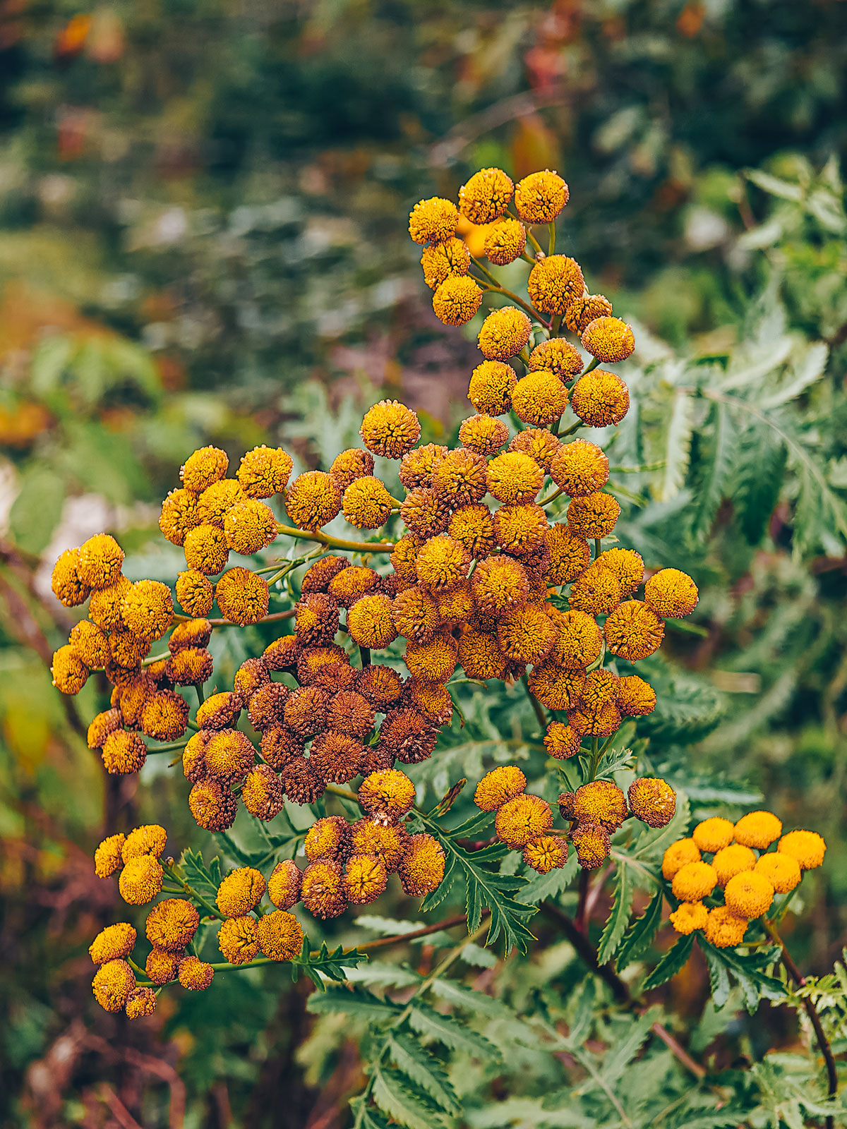
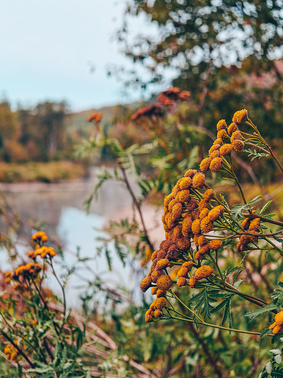
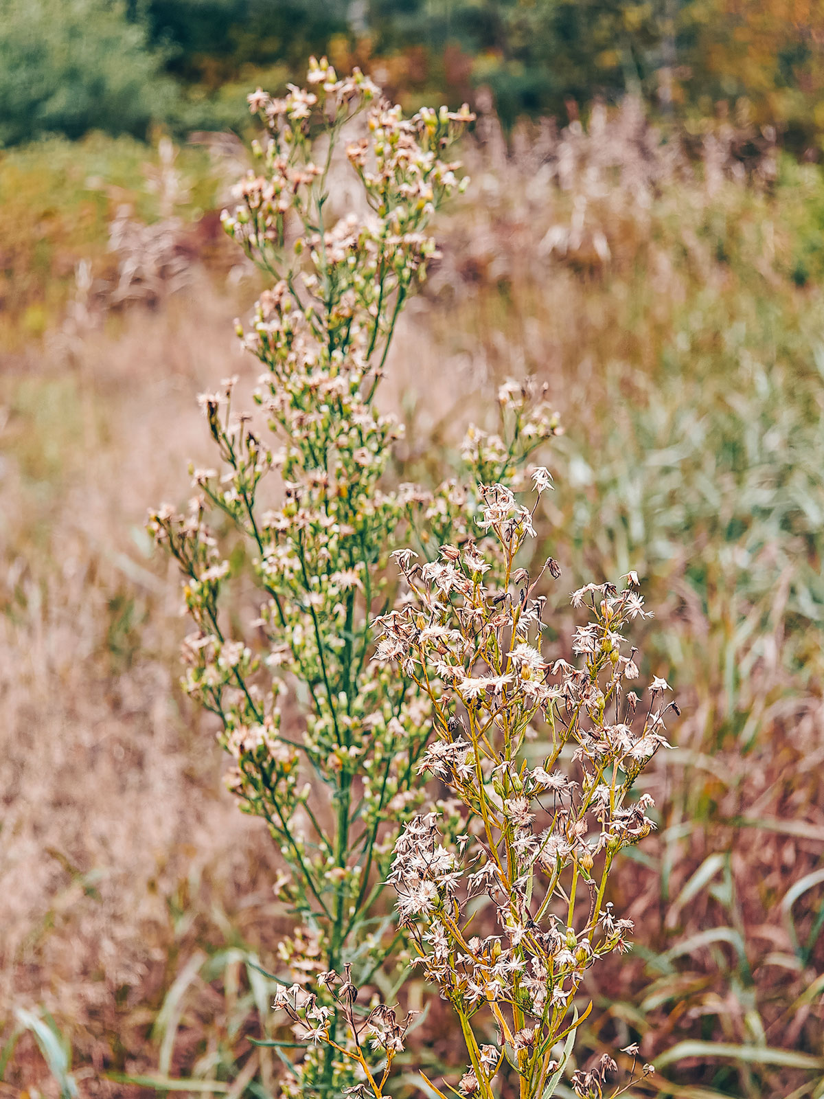
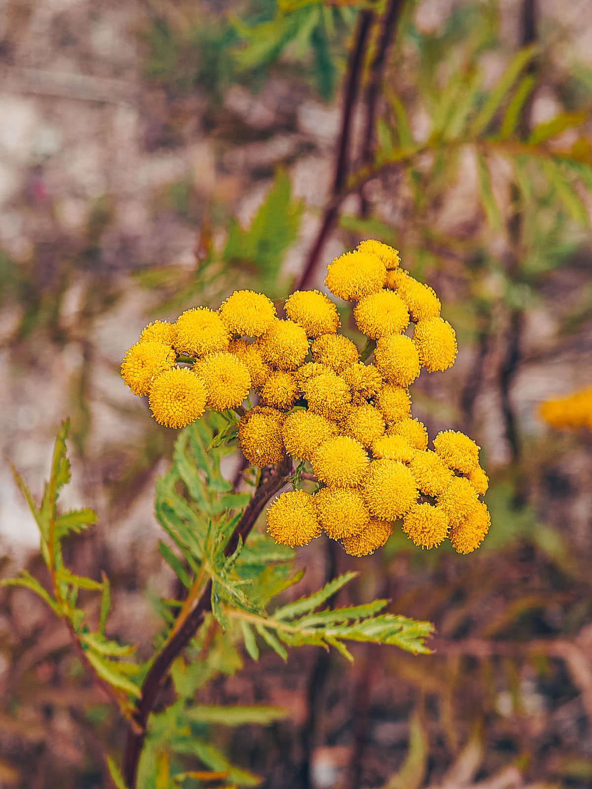
Rusted tansy, pale asters: the bank was in flower.
The mirror
The water moved gently, mirroring the red maples and the firs.
The White Mountains
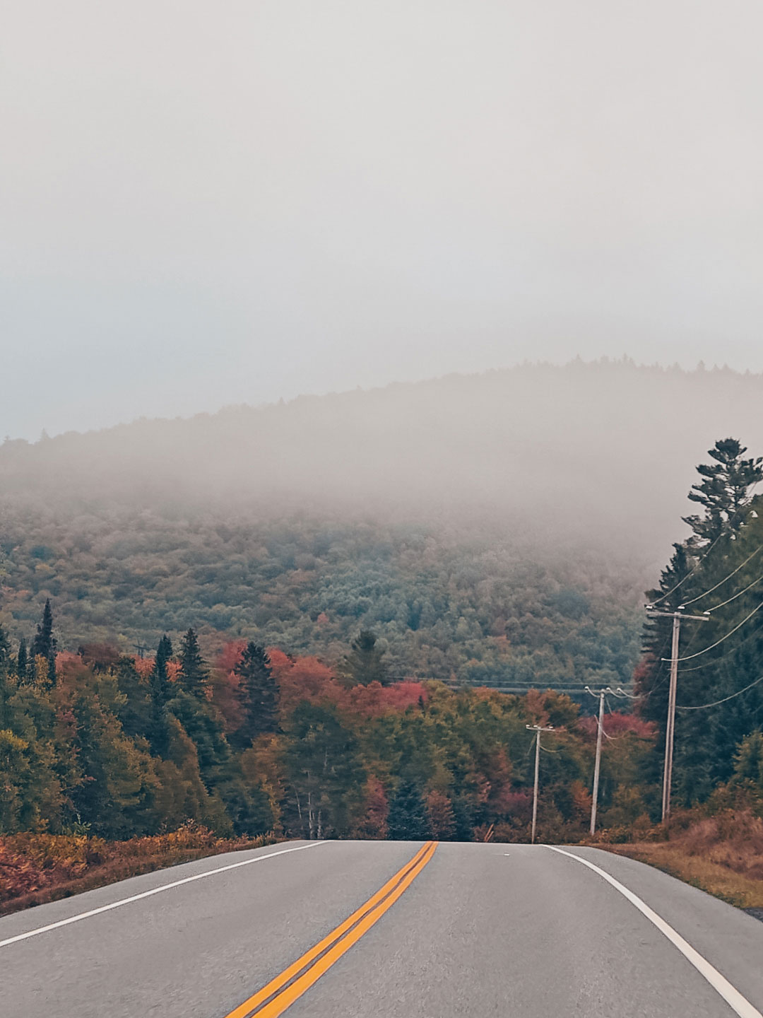
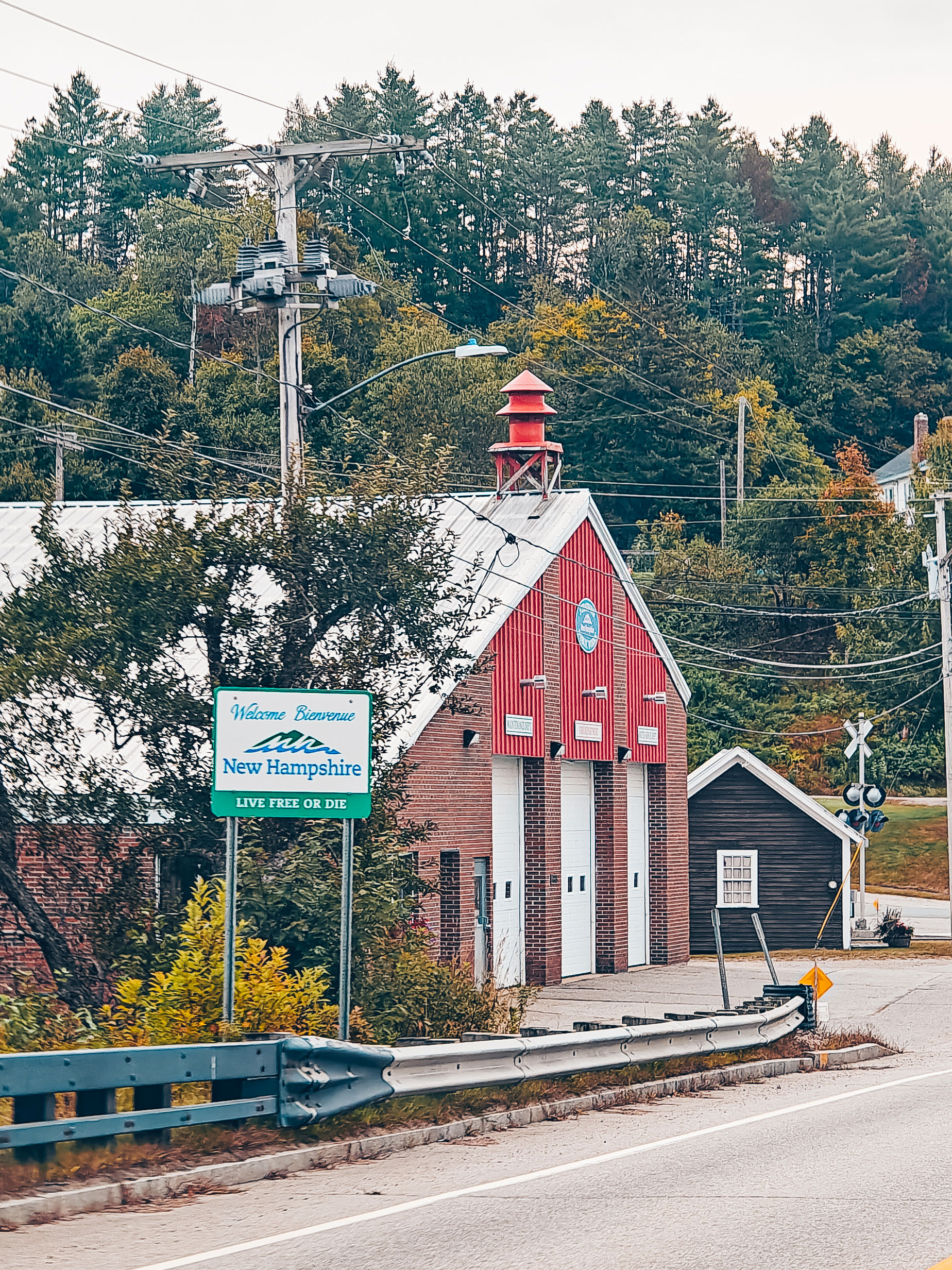
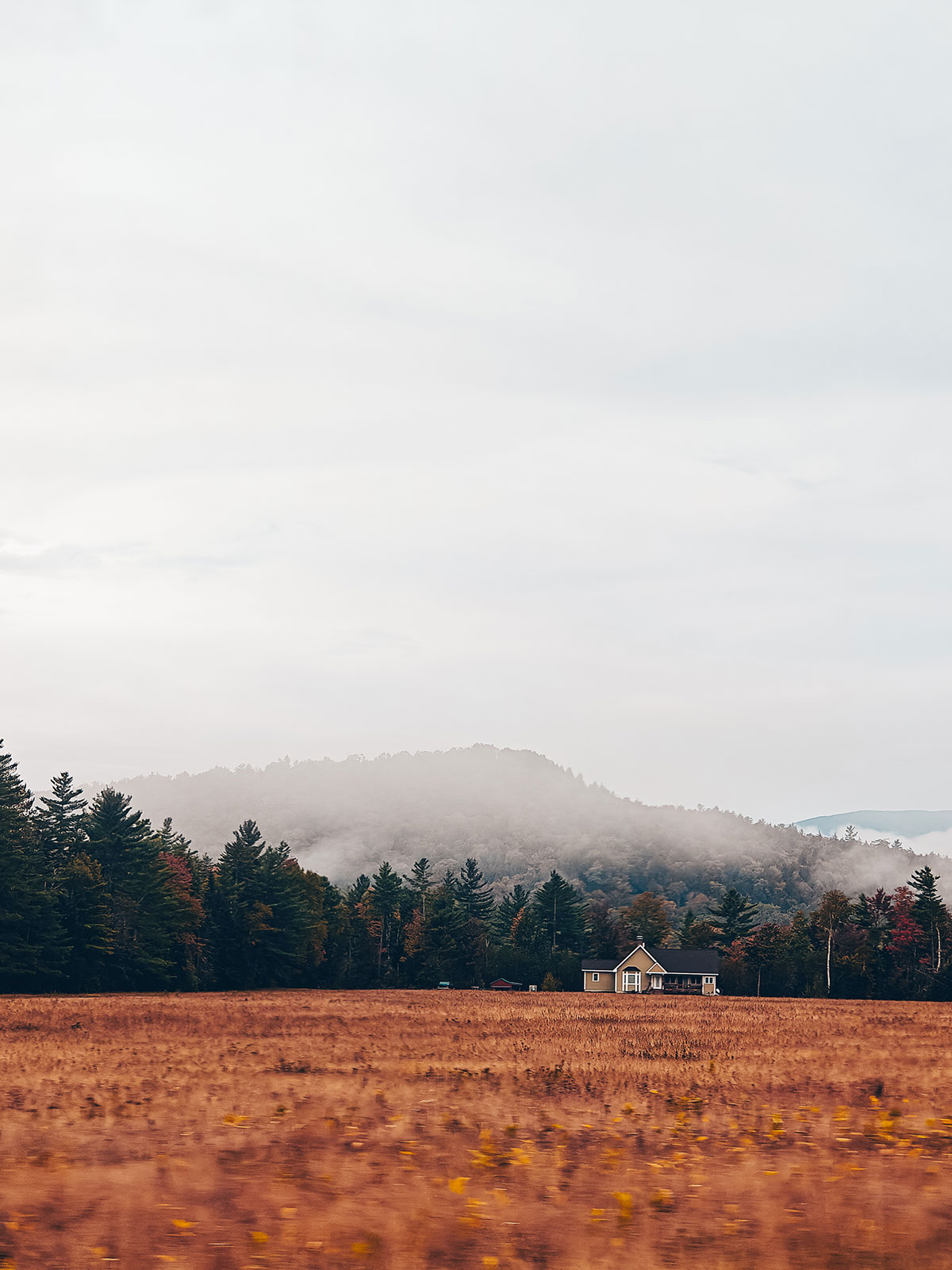
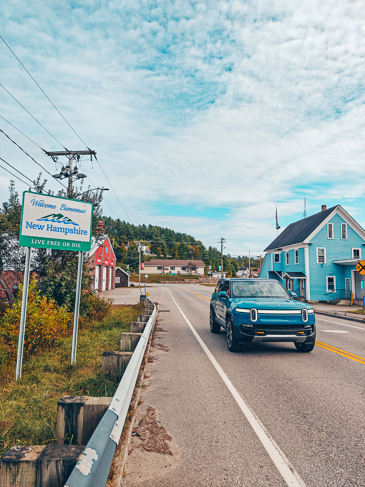
Route 302Every bend revealed a new postcard scene. Valleys drowned in the morning mist. Mountains covered in a blazing forest that seemed to stretch on forever. Then we joined Route 302. And there, we fell in love with New Hampshire. You drive slowly, not because the road demands it, but because you refuse to miss the smallest detail.
Mount Washington
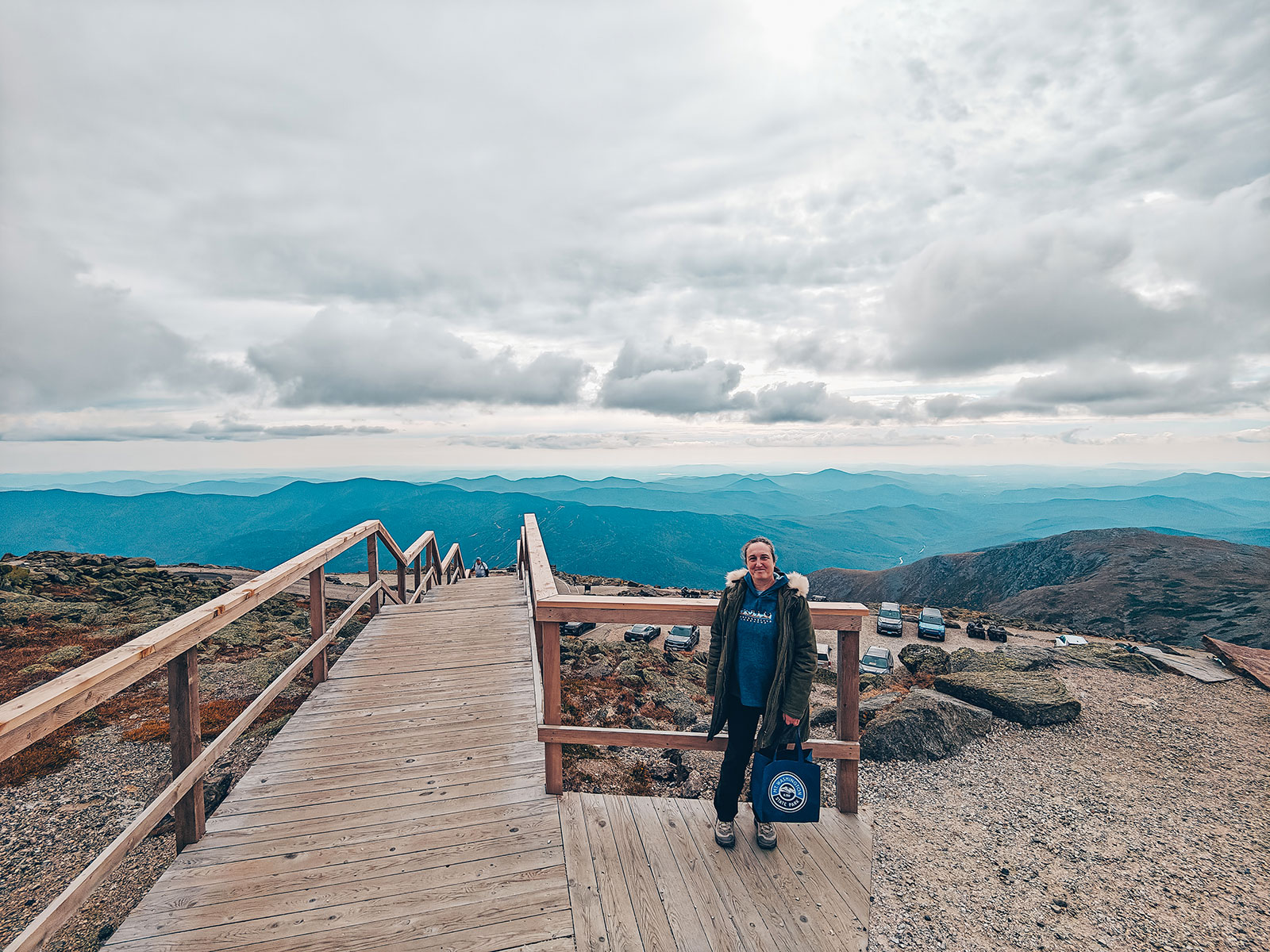
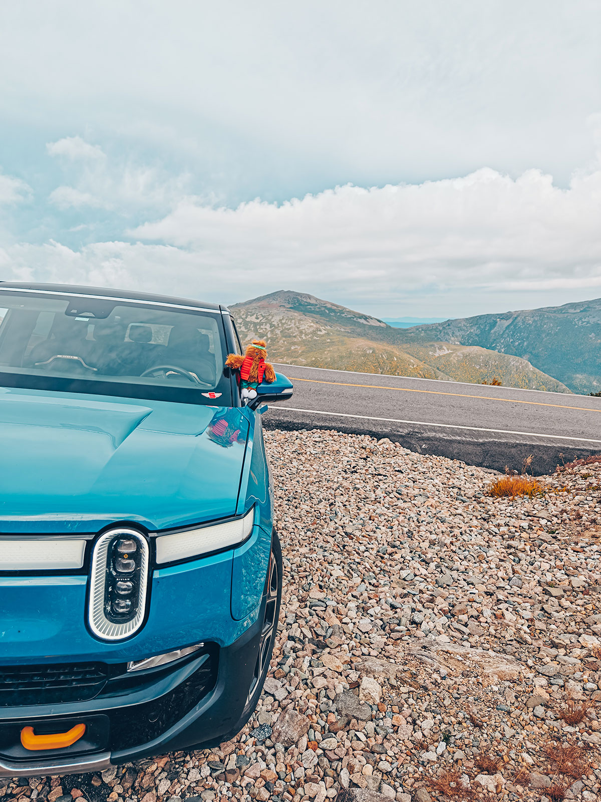
1,917 m · 6,288 ftAnd then, at last, Mount Washington appears. Majestic. Almost intimidating. Since 1861, the Auto Road has carried travellers to its summit. Twelve kilometres, no more than that on a map. But twelve kilometres that make for one of the most memorable drives in North America. From the very first bends, the mountain asserts its character. The slope steepens. The views widen.
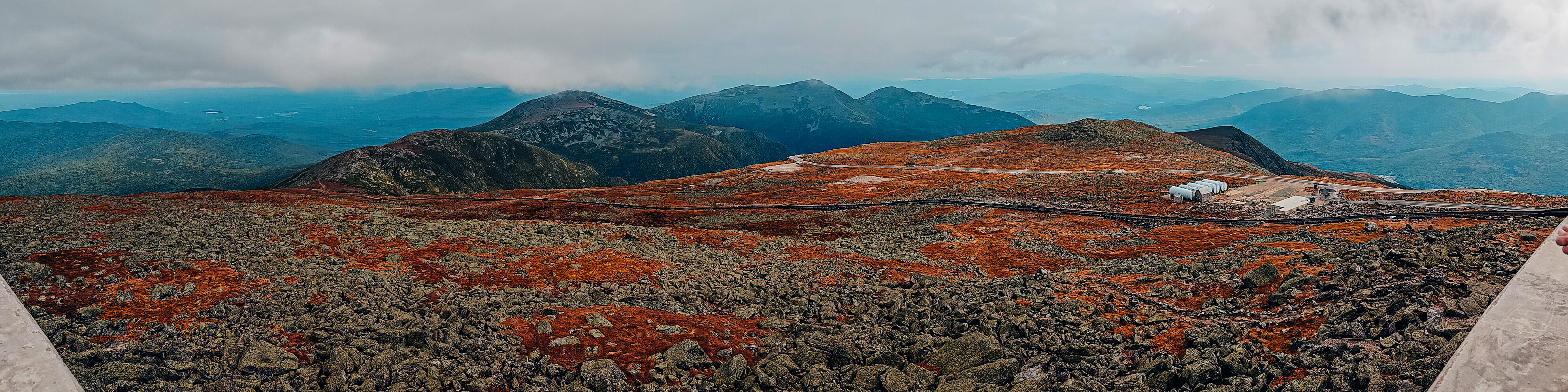
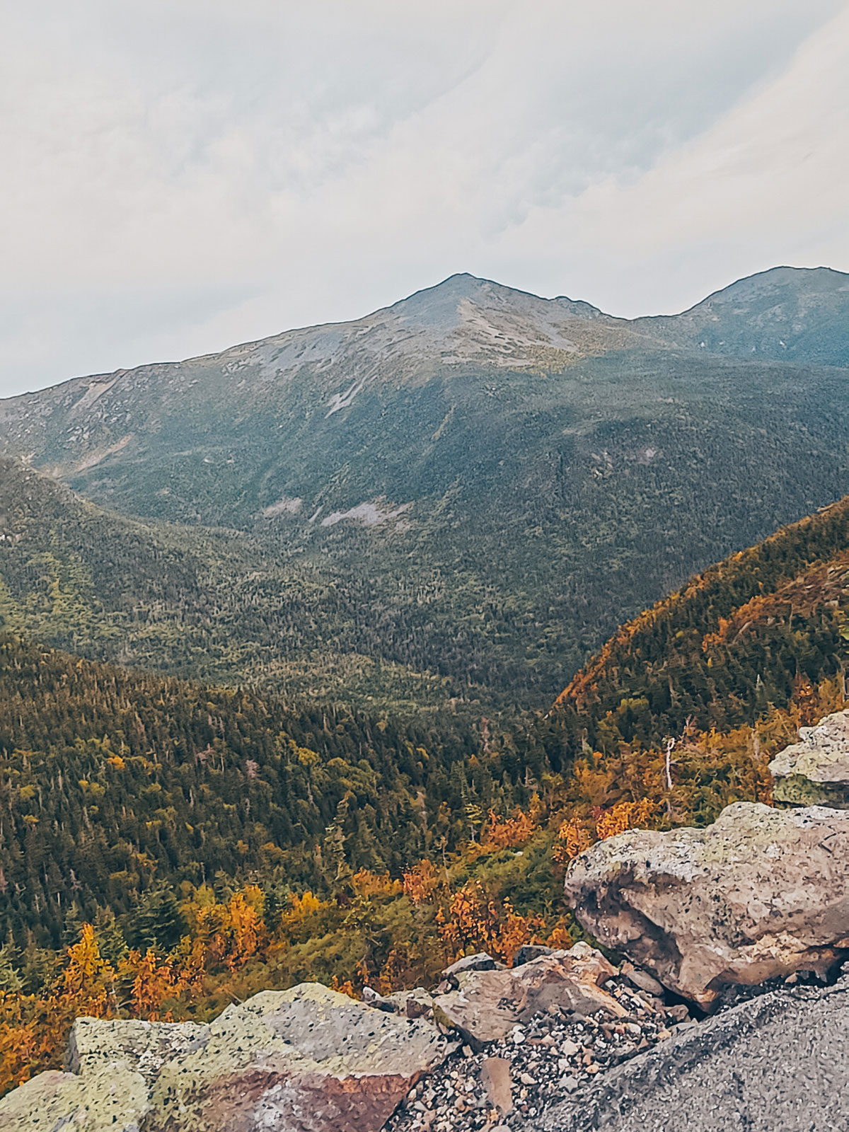
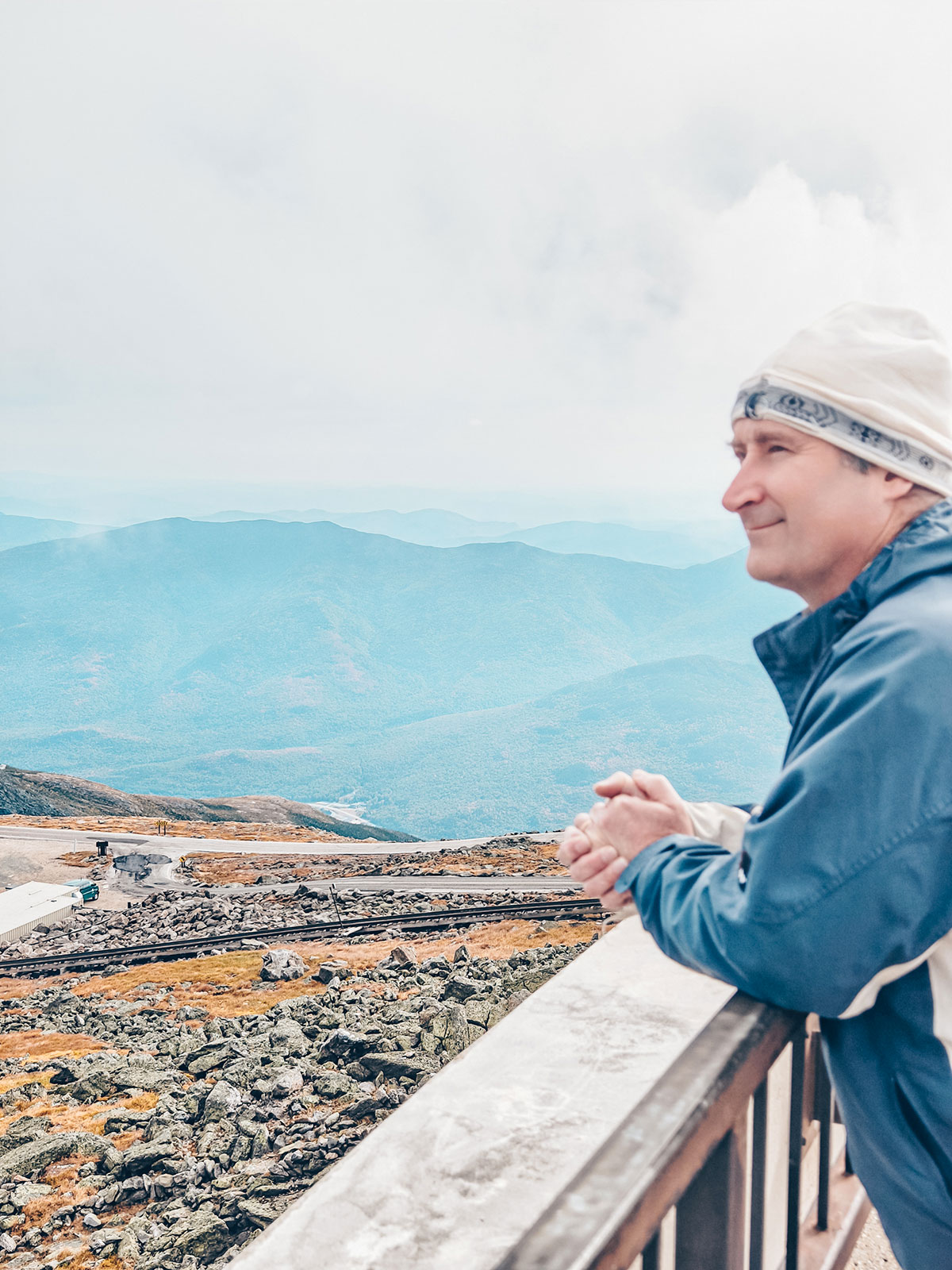
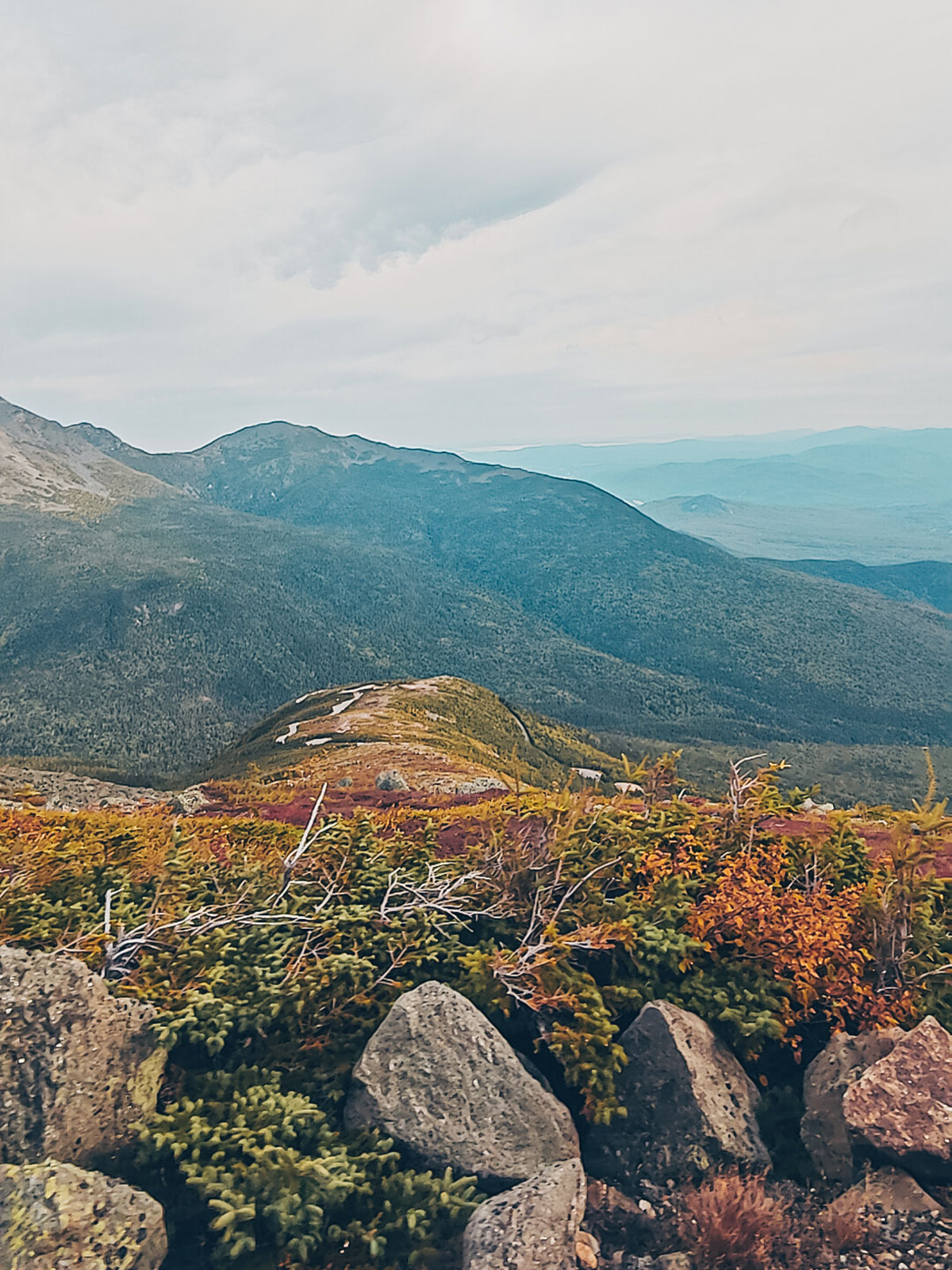
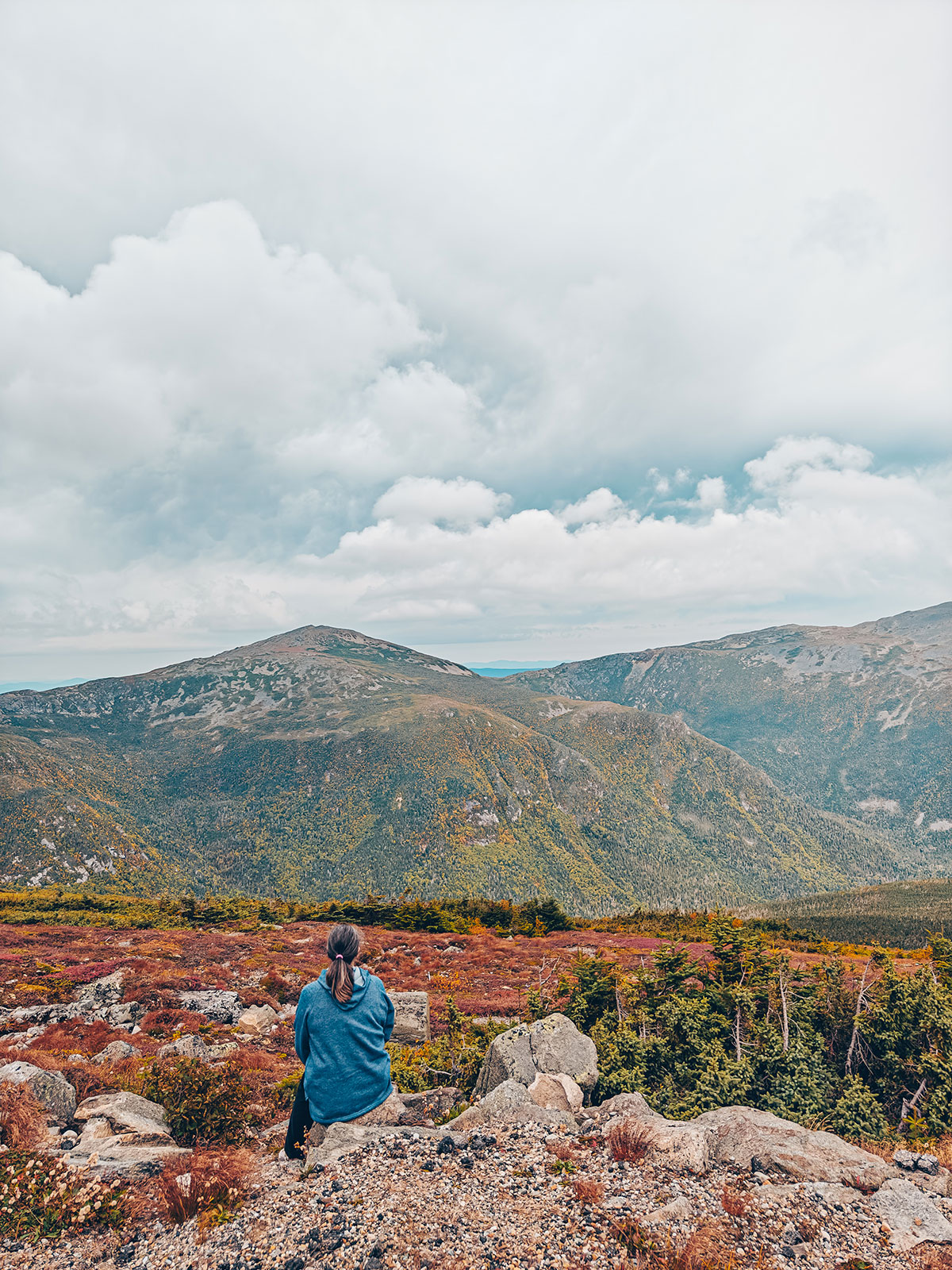
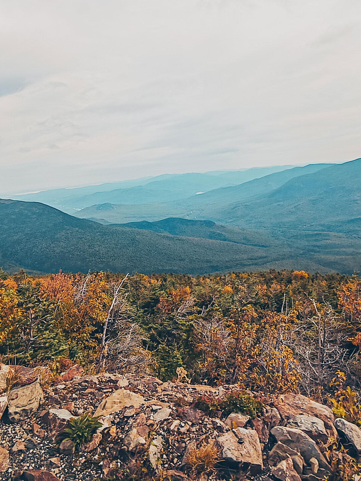
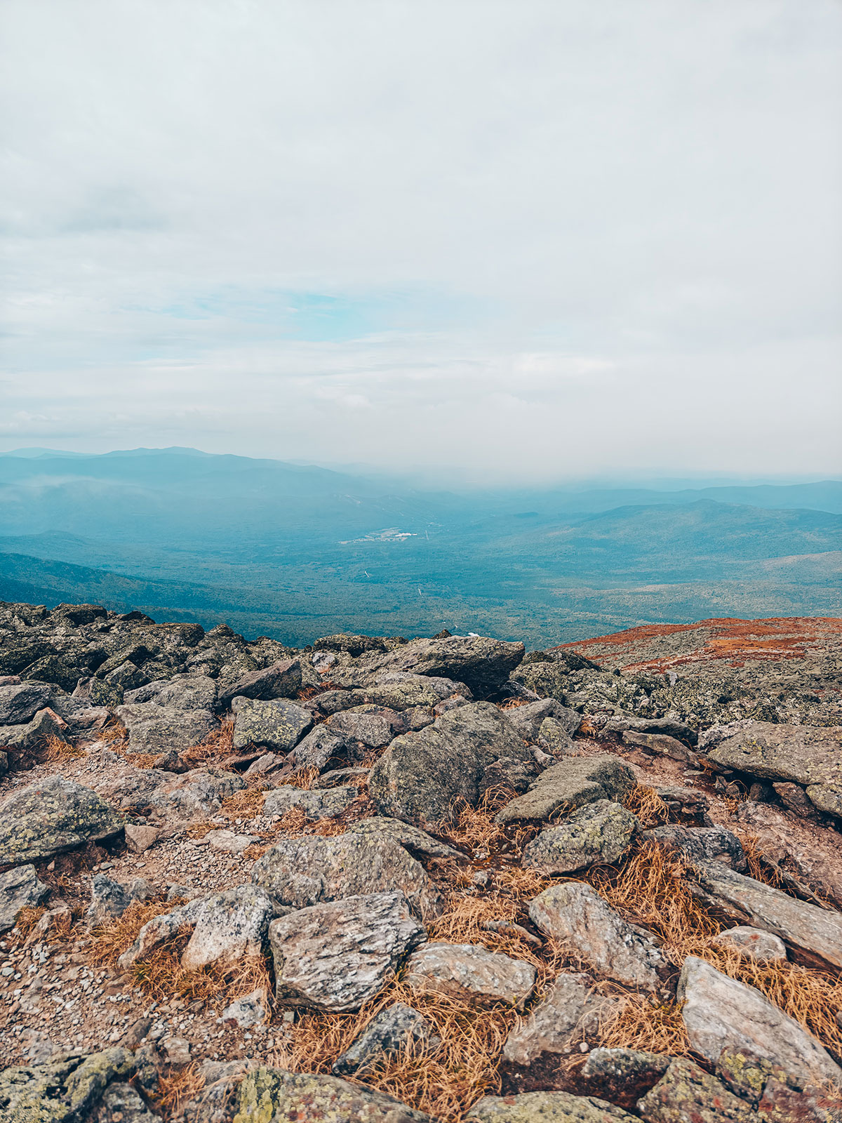
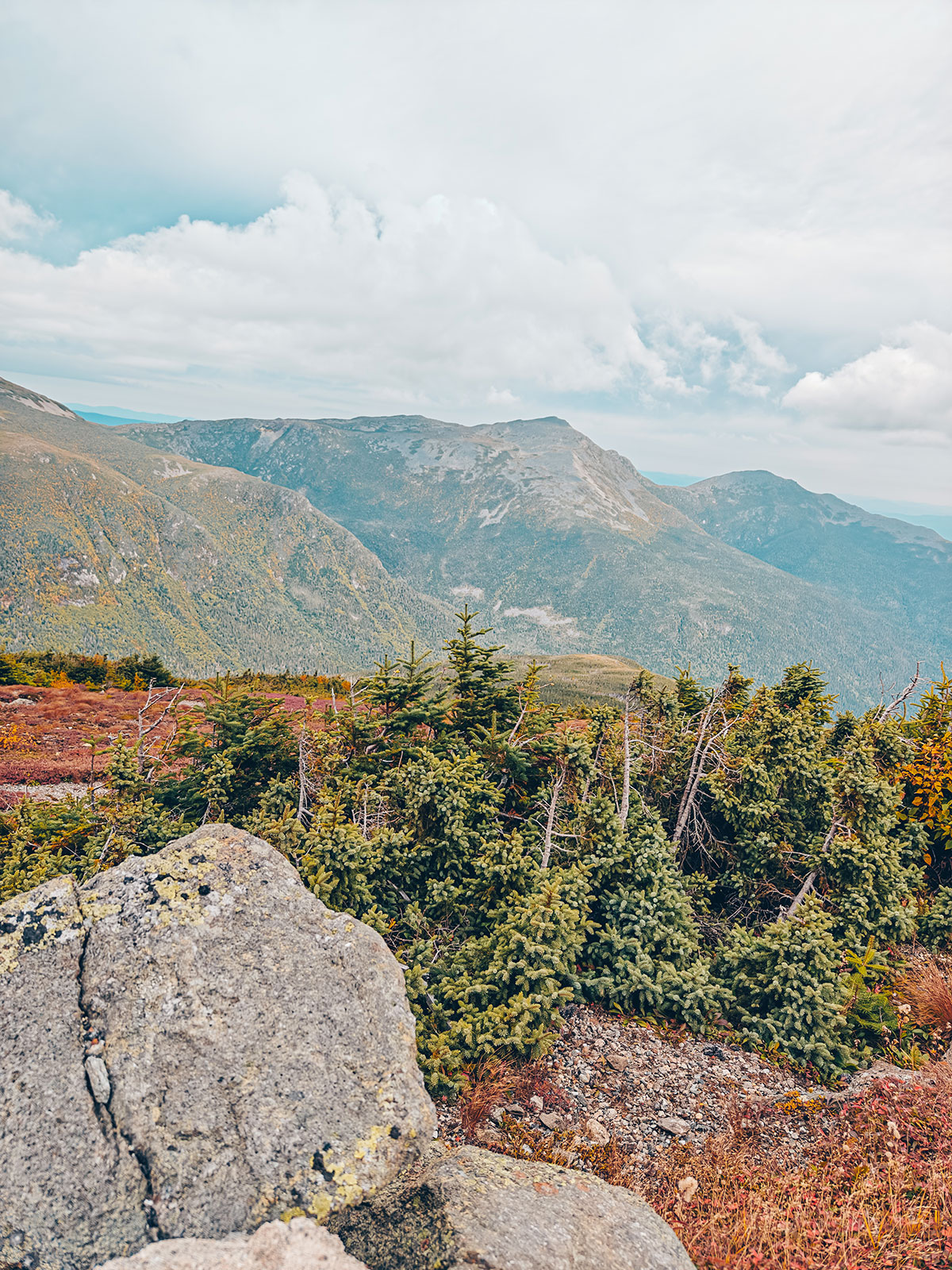
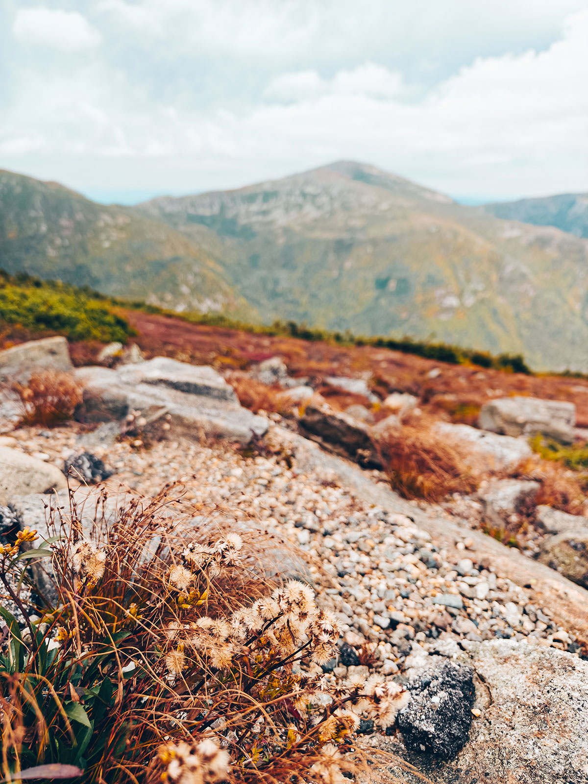
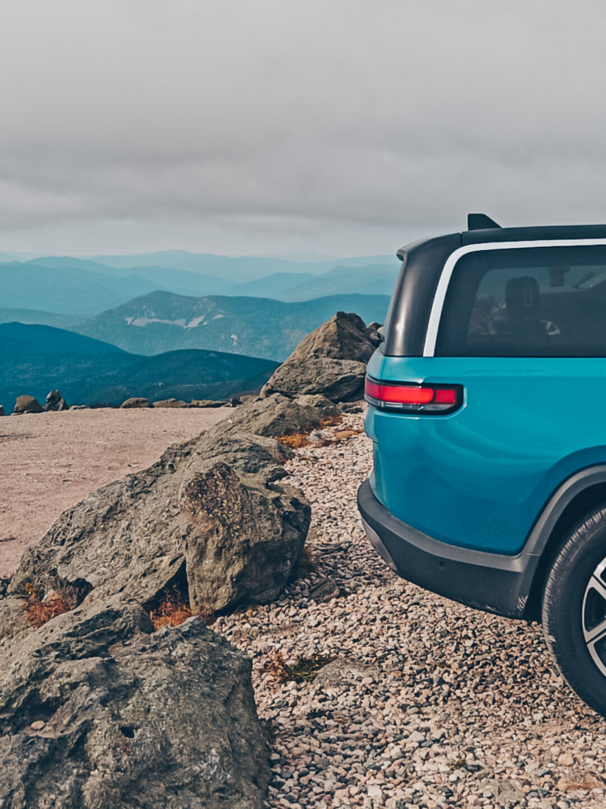
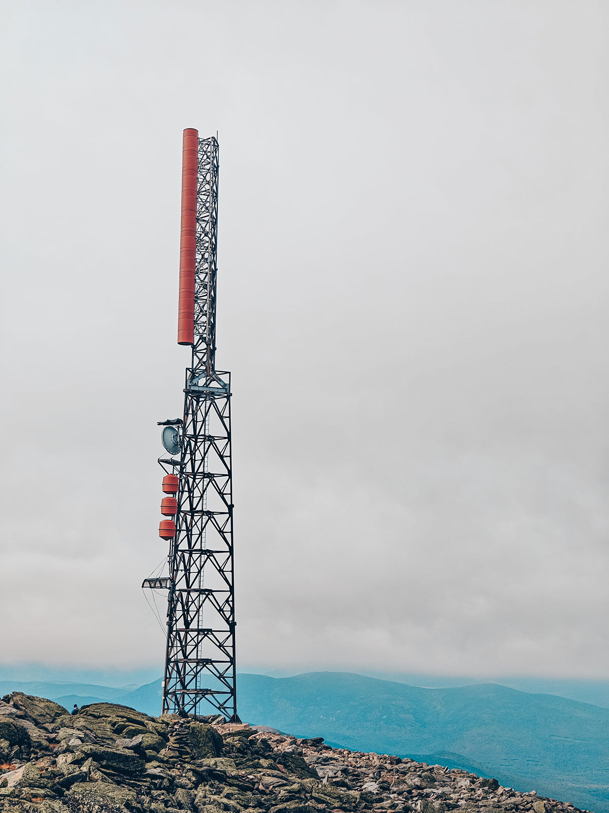
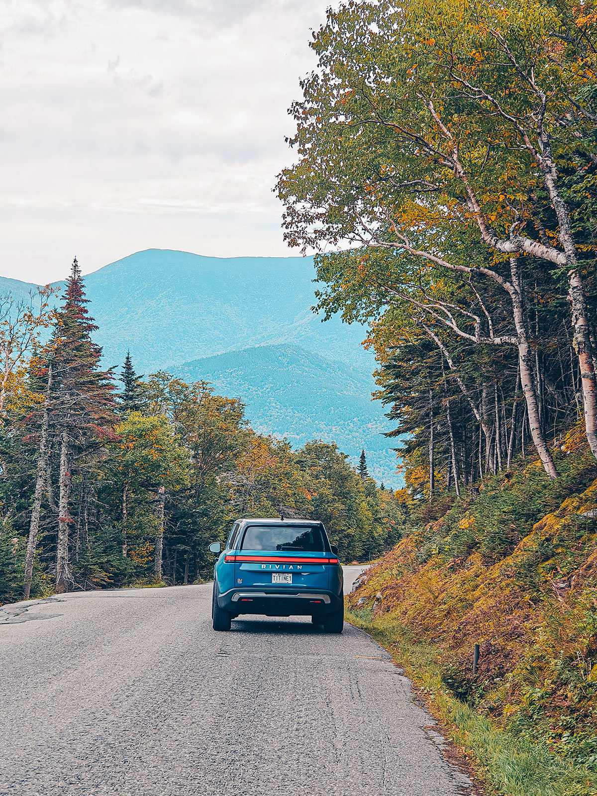
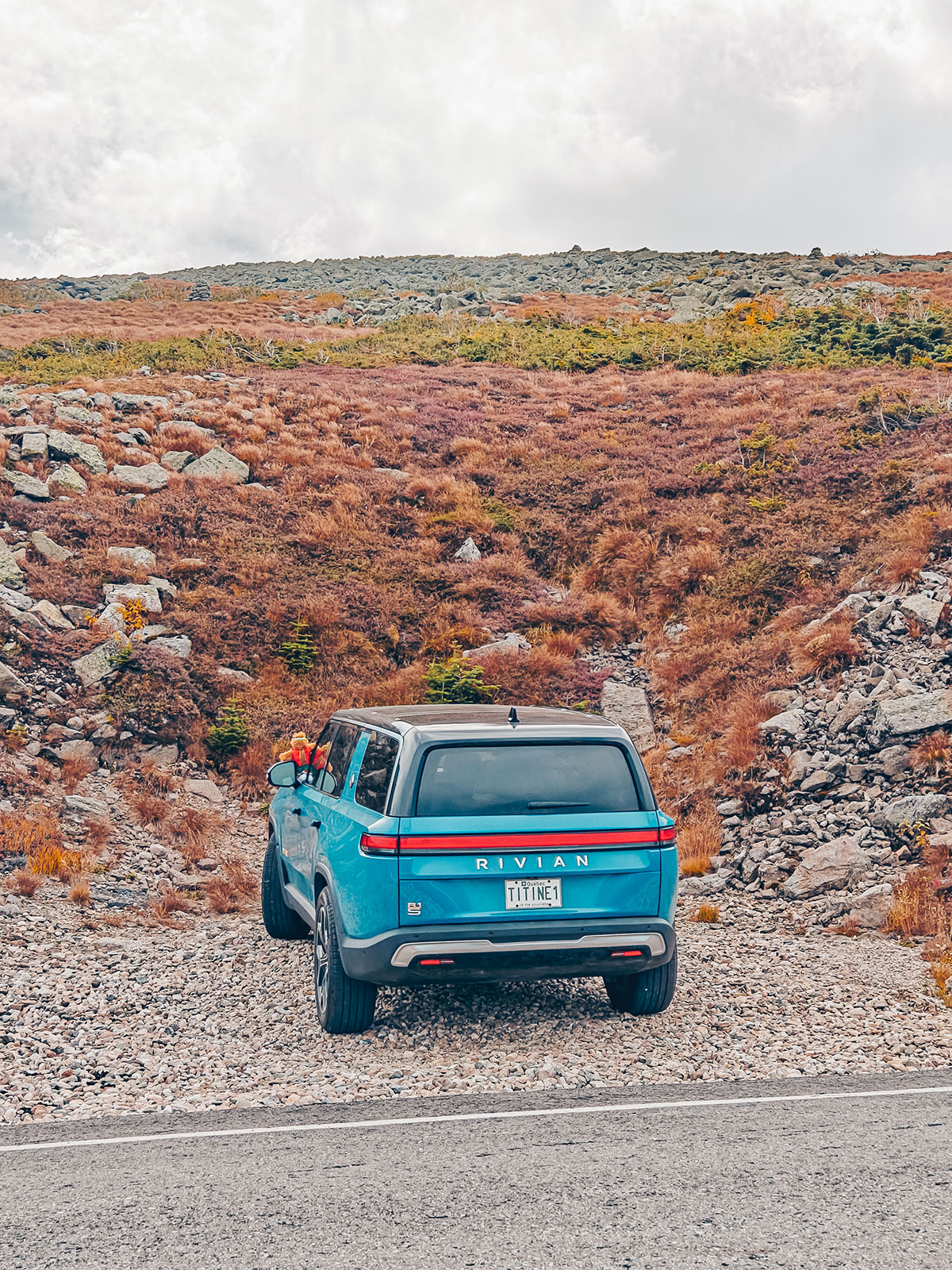
The higher we go, the more the landscape changes. The tall, colourful maples gradually disappear. The spruces grow smaller. Then come the stunted shrubs. And finally the alpine tundra: a world of rock swept by the wind, where the blazing colours of autumn give way to the greys of the stone. At the summit, the view goes beyond anything photographs can show. Nobody really speaks. Because there is nothing to add. We look. We breathe. And above all, we feel incredibly alive.
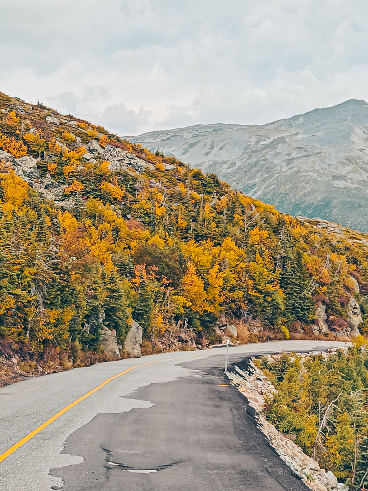
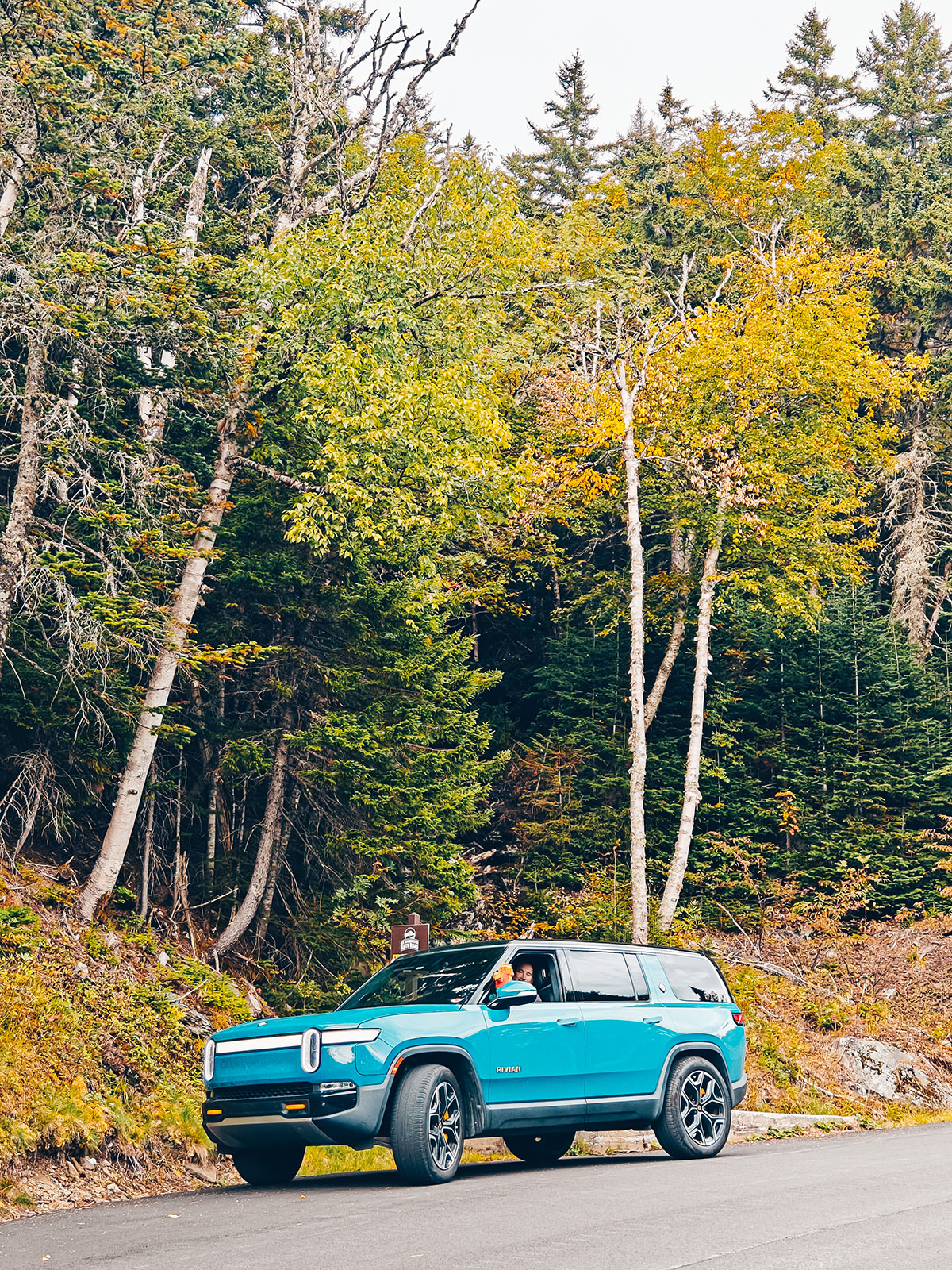
After leaving the summit wind behind us, we made our way slowly back down the mountain. As we lost altitude, the landscapes found their colours again. The grey rocks gave way to spruces, then to golden birches and finally to the blazing maples that clothed the flanks of the mountain.
The road
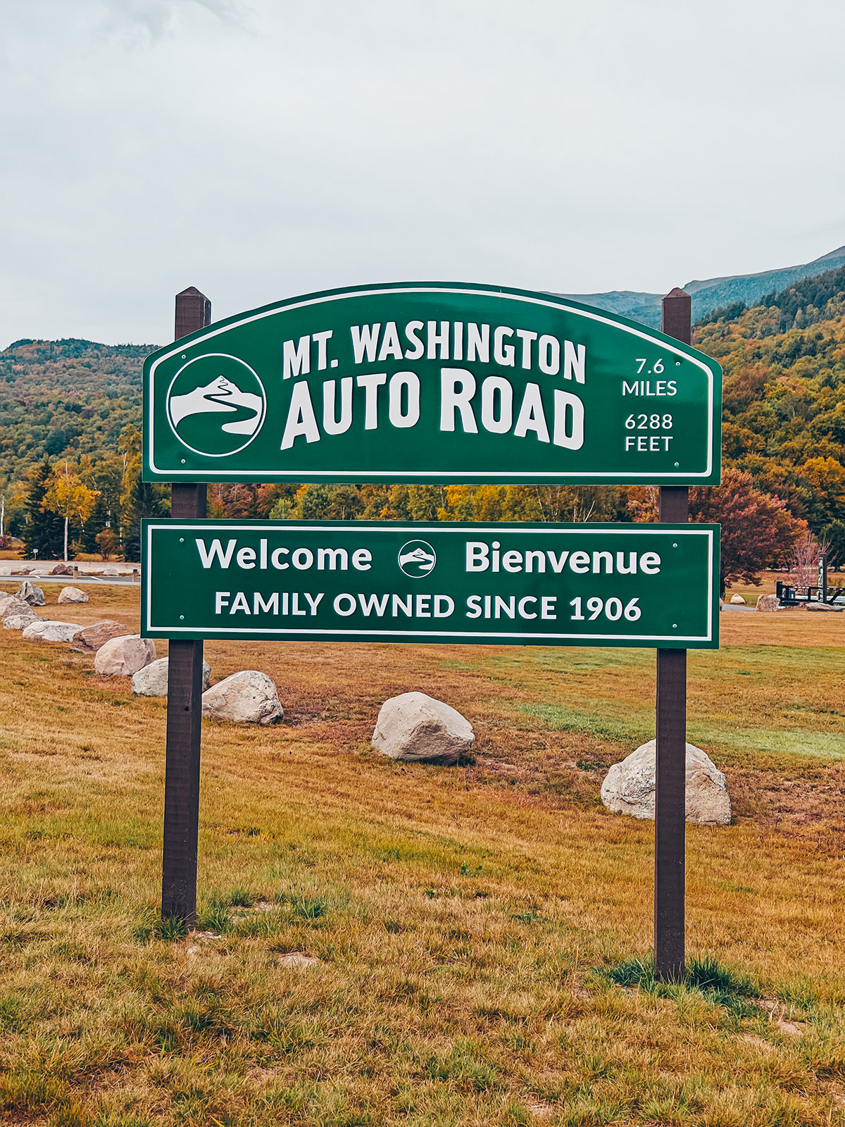
Mount Washington Auto Road
Opened 8 August 1861 · 7.6 miles
12 % average grade, up to 22 % at the end
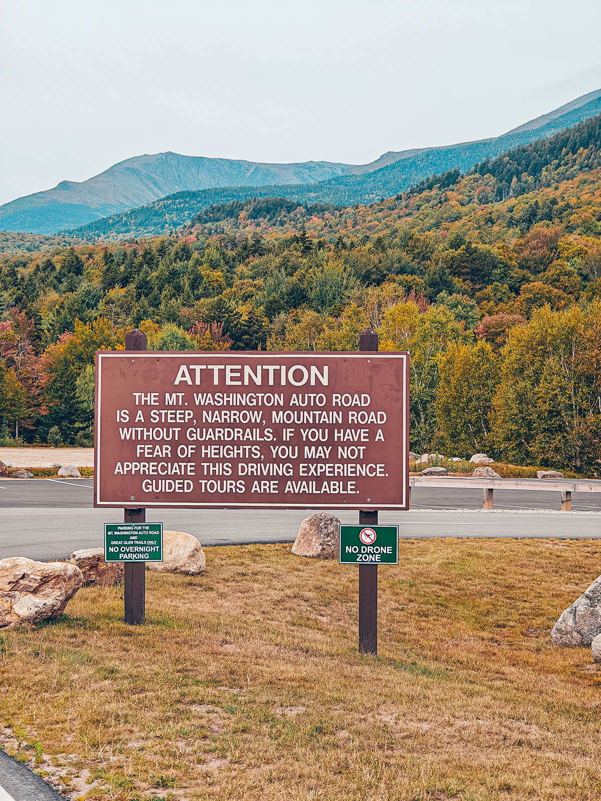
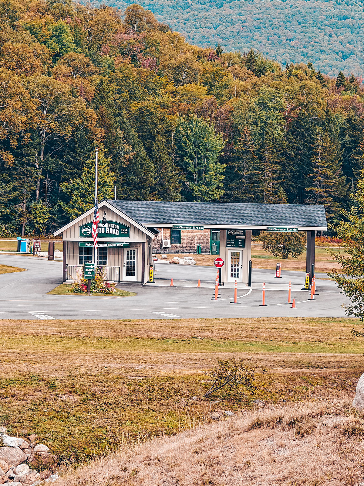
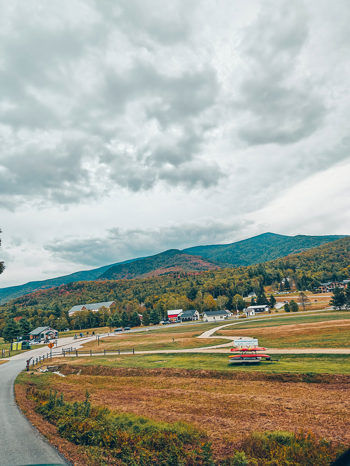
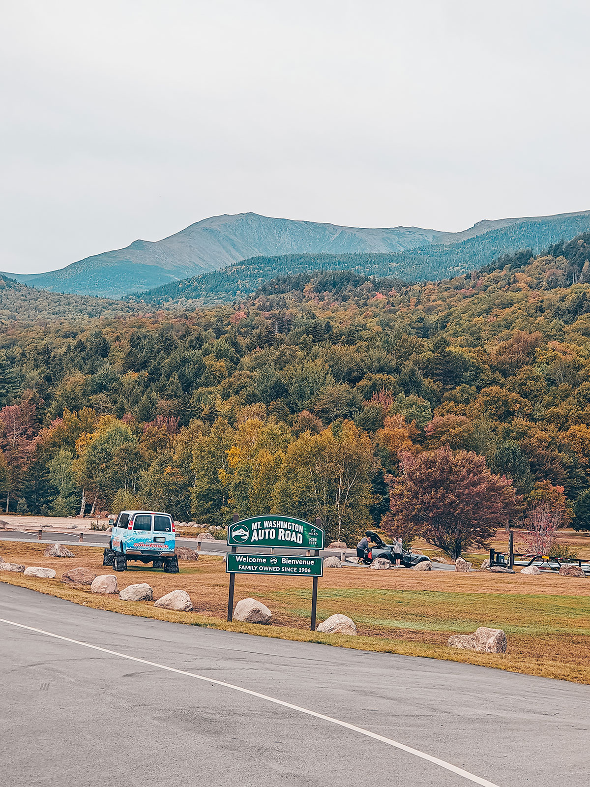
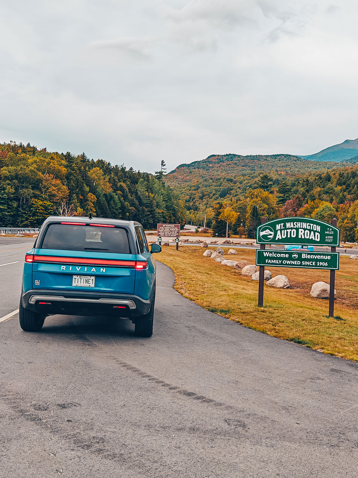
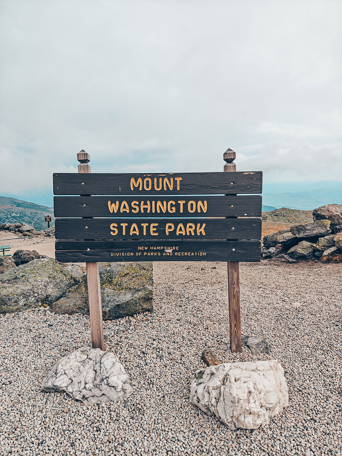
The sign puts it plainly: a steep, narrow mountain road without guardrails. The company that runs it says it has been family owned since 1906.
The oldest
1861America’s oldest man-made tourist attraction — opened on 8 August 1861 and running without a break ever since.
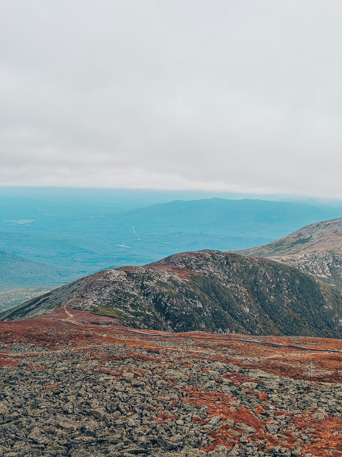
The summit
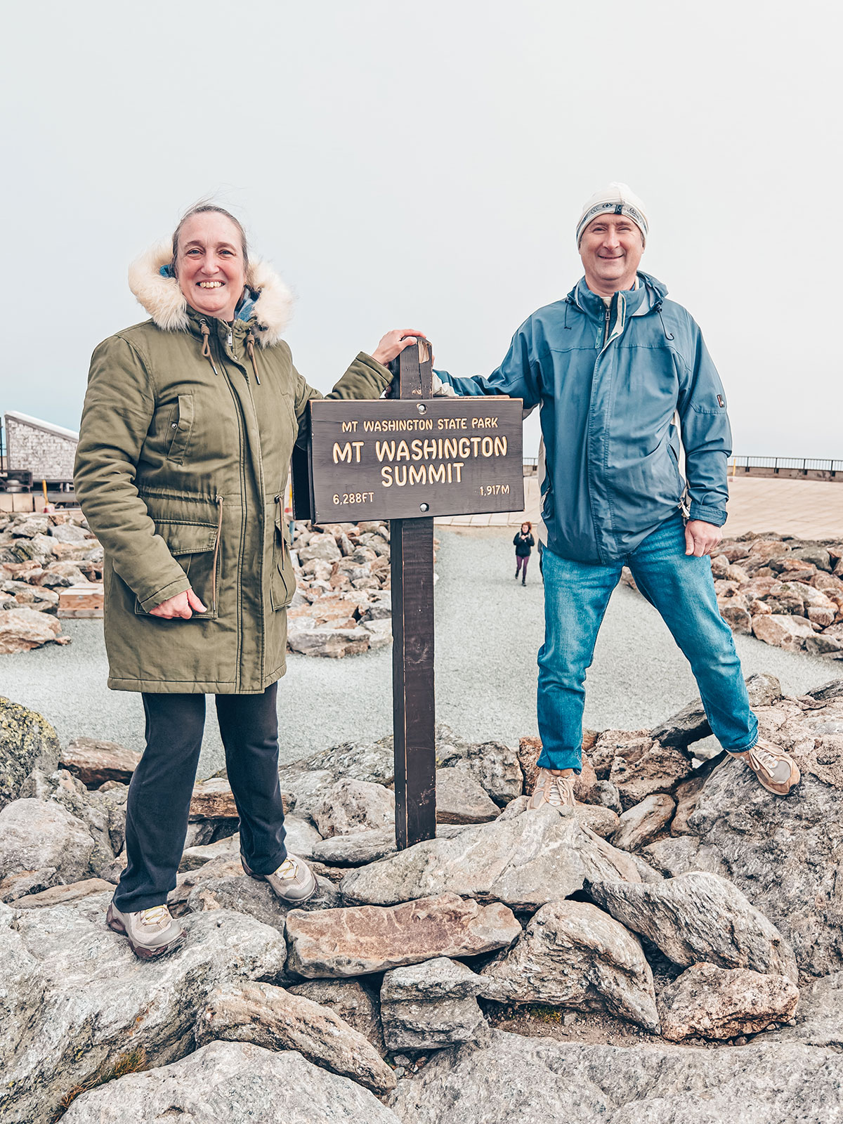
1 917 m · 6 288 pi
The highest in the continental Northeast
“Agiocochook” to the Abenaki
The wind
372 km/hMeasured on 12 April 1934. A world record until 1996, and still the strongest wind ever recorded outside a tornado or a tropical cyclone.
The fog
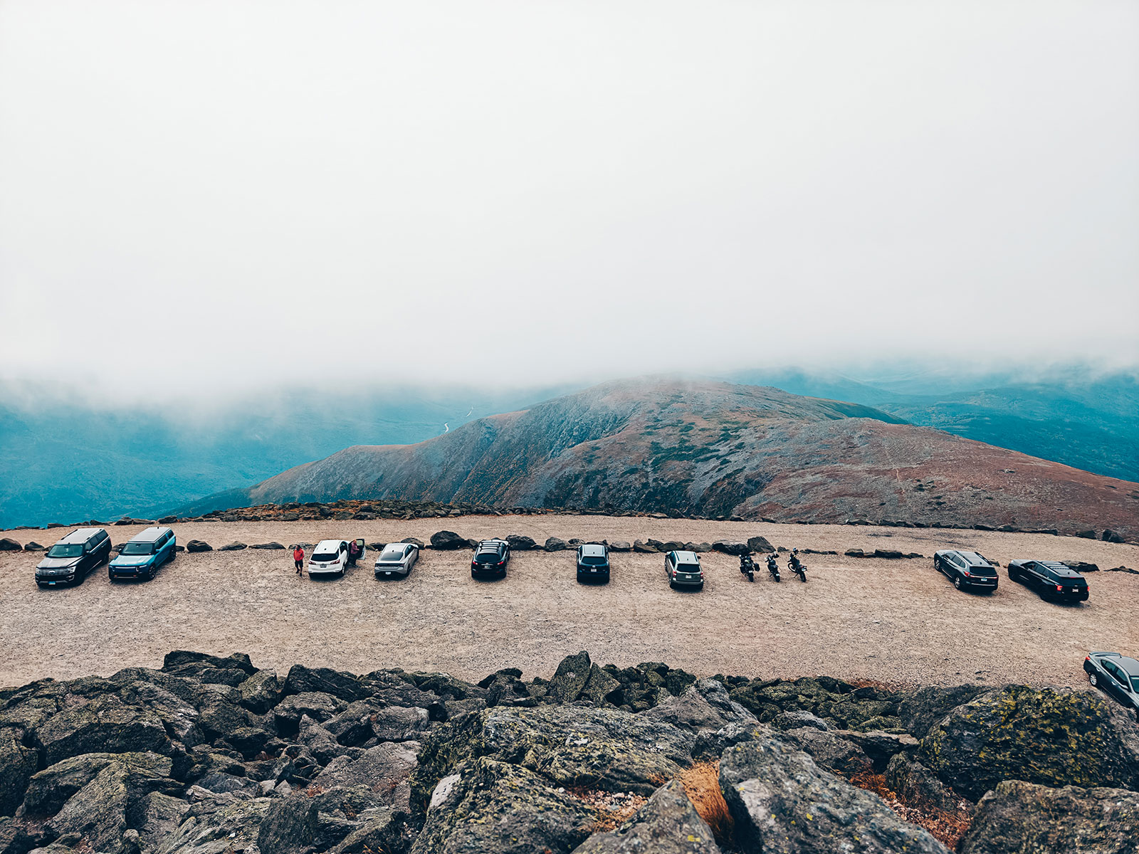
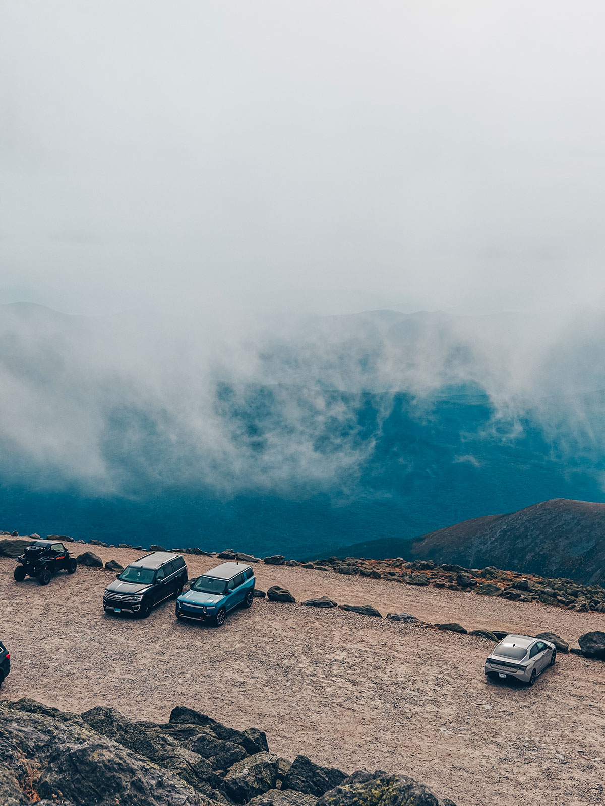
60 %The share of the year the summit spends in cloud — 328 days in 2023.
The cold
−1 °CThe annual average at the summit. The record low: −46 °C, on 22 January 1885.
The treeline
Around 1,340 m: nearly 600 m below the summit. Above it, some 65 acres of tundra — the largest expanse east of Colorado.
The observatory
Founded 1932
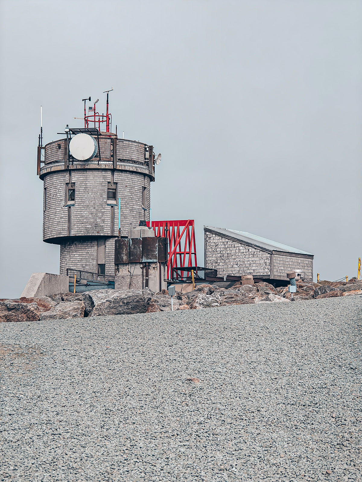
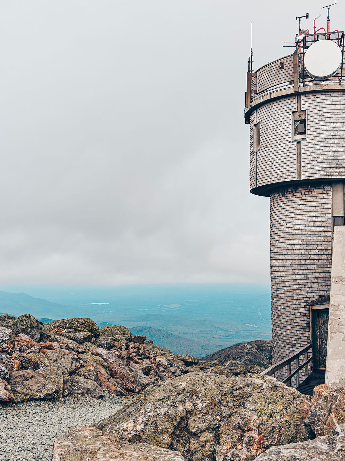
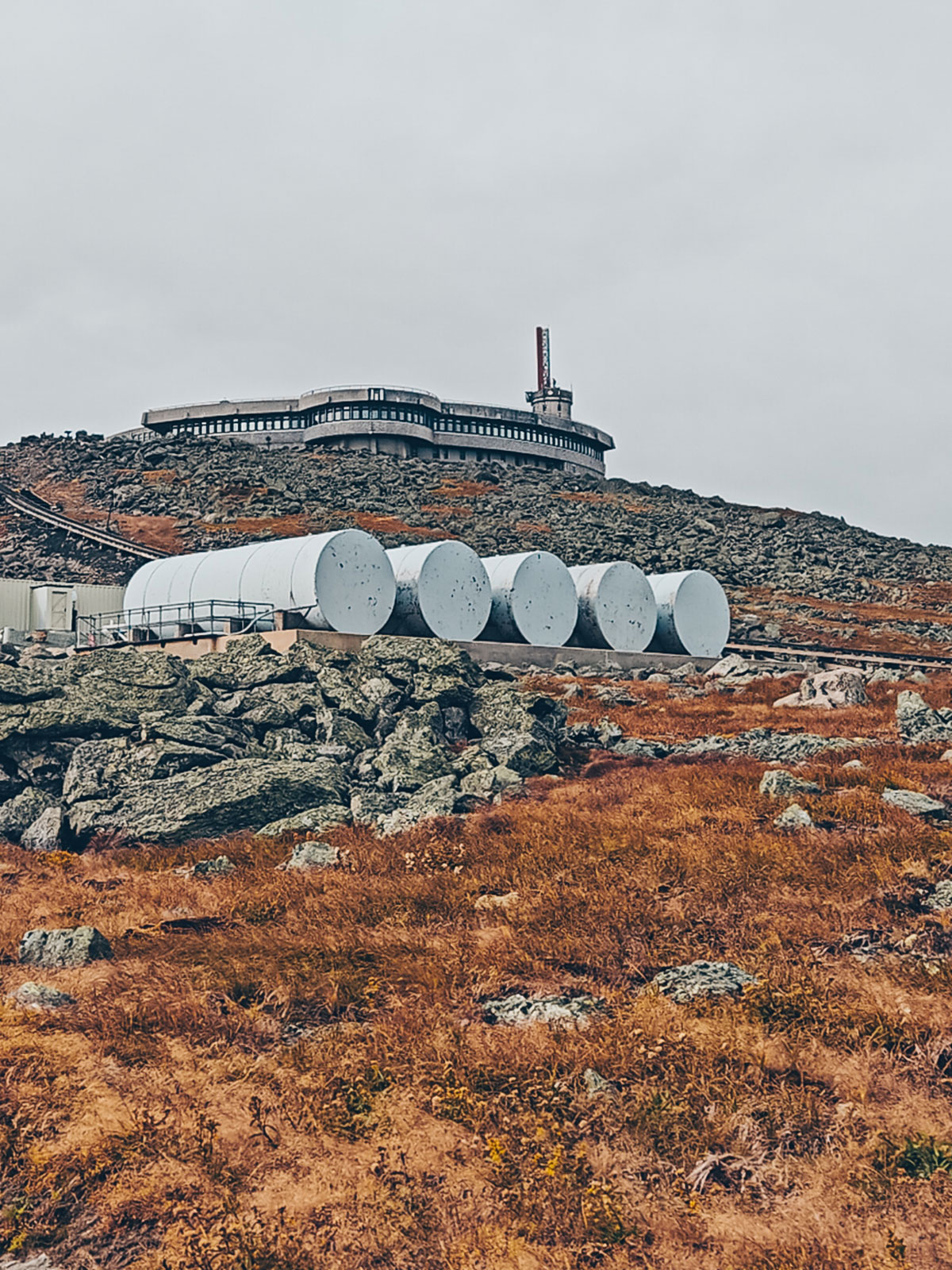
Staffed year-round, at the summit.
Below our feet
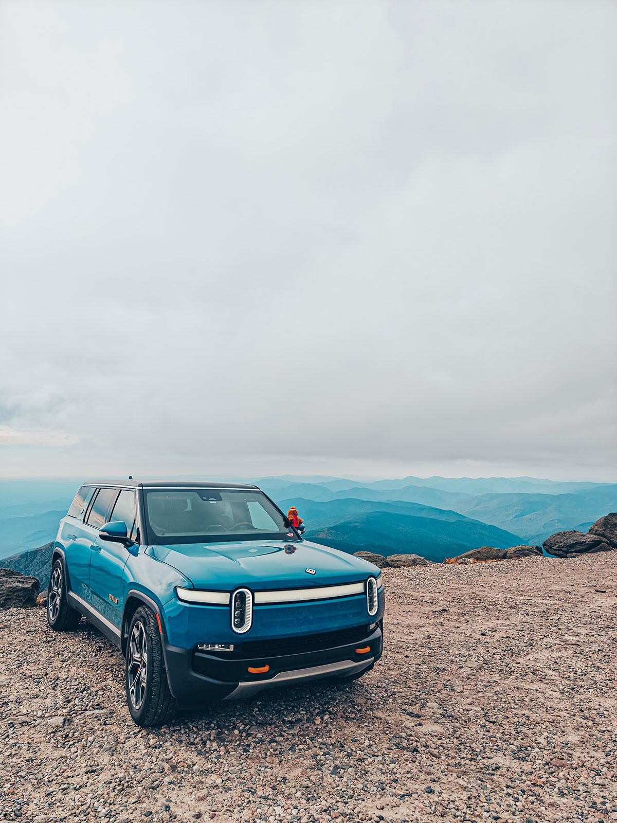
At times the clouds drift below the parking area.
The range
The summit opens onto the whole Presidential Range — mountains as far as the eye can see, valleys like a sea of autumn.
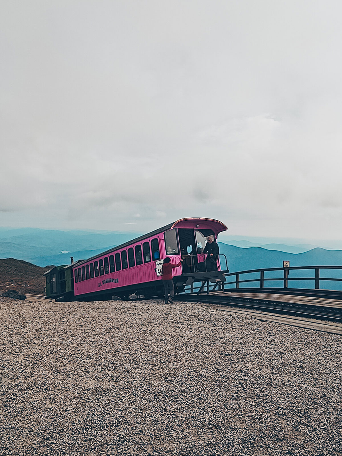
The other way
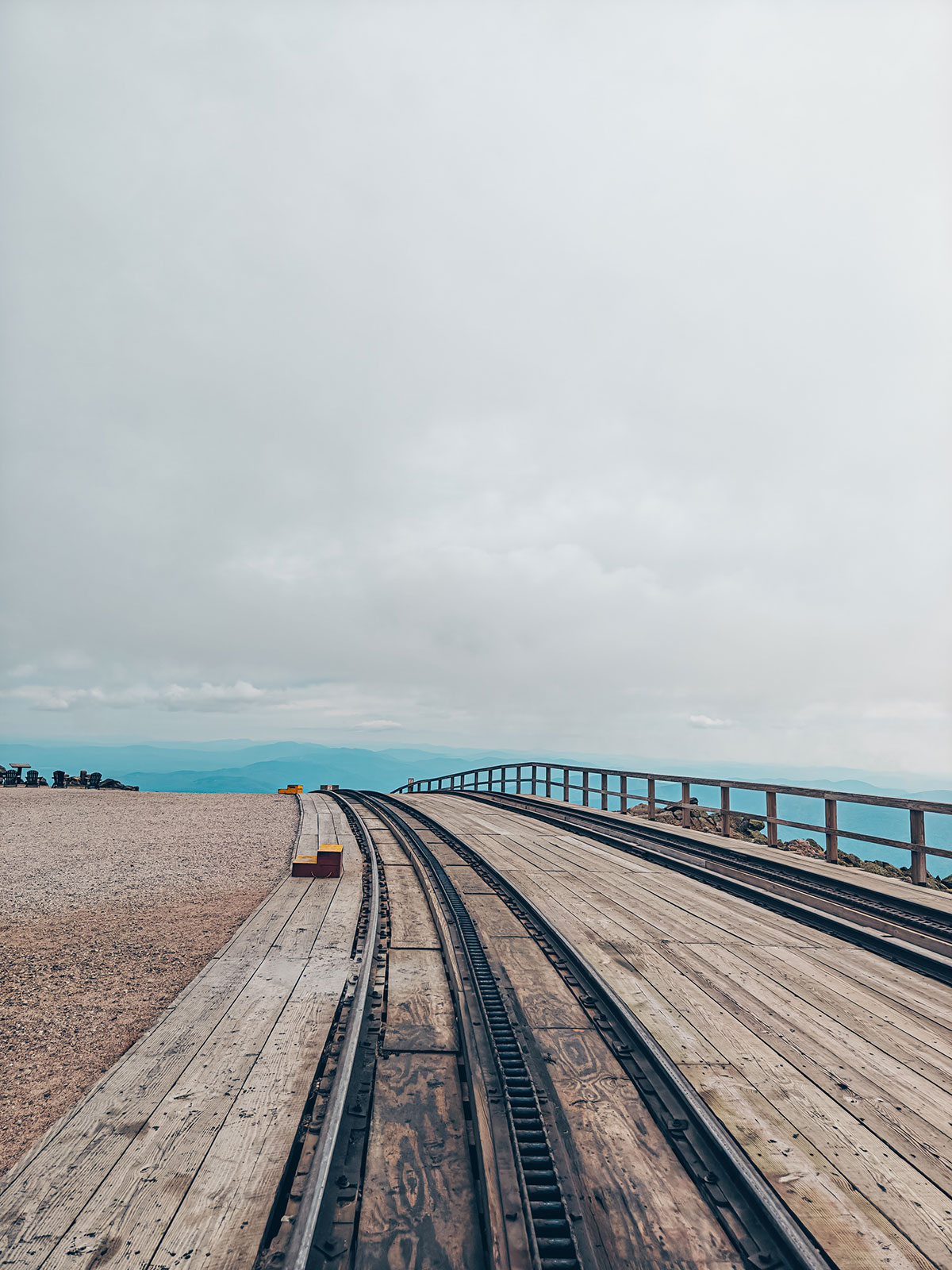
1869The cog railway has climbed the other side since 1869 — the first of its kind to succeed in the United States.
The colours return
Grey rock gives way to spruces, then golden birches, then maples.
The grade
12 % average
Up to 22 % in the last few metres — going down as well as up.
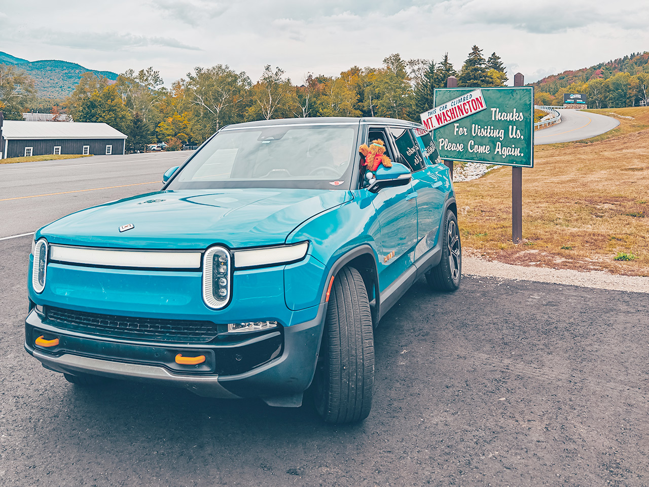
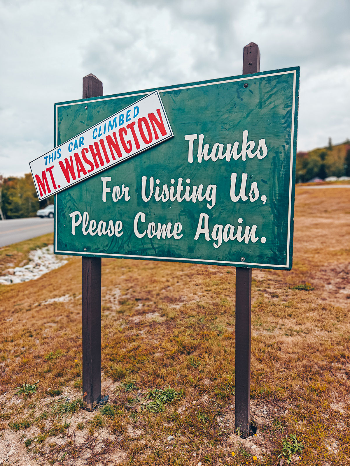
The treeline, in reverse
Back below 1,340 m, and the trees regain their height.
The Glen House
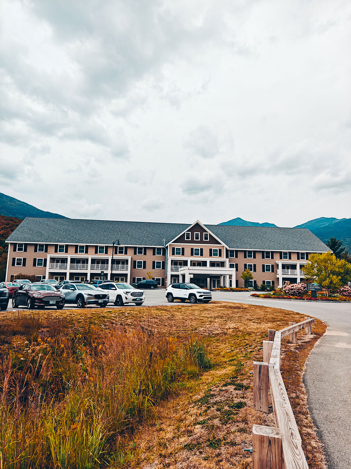
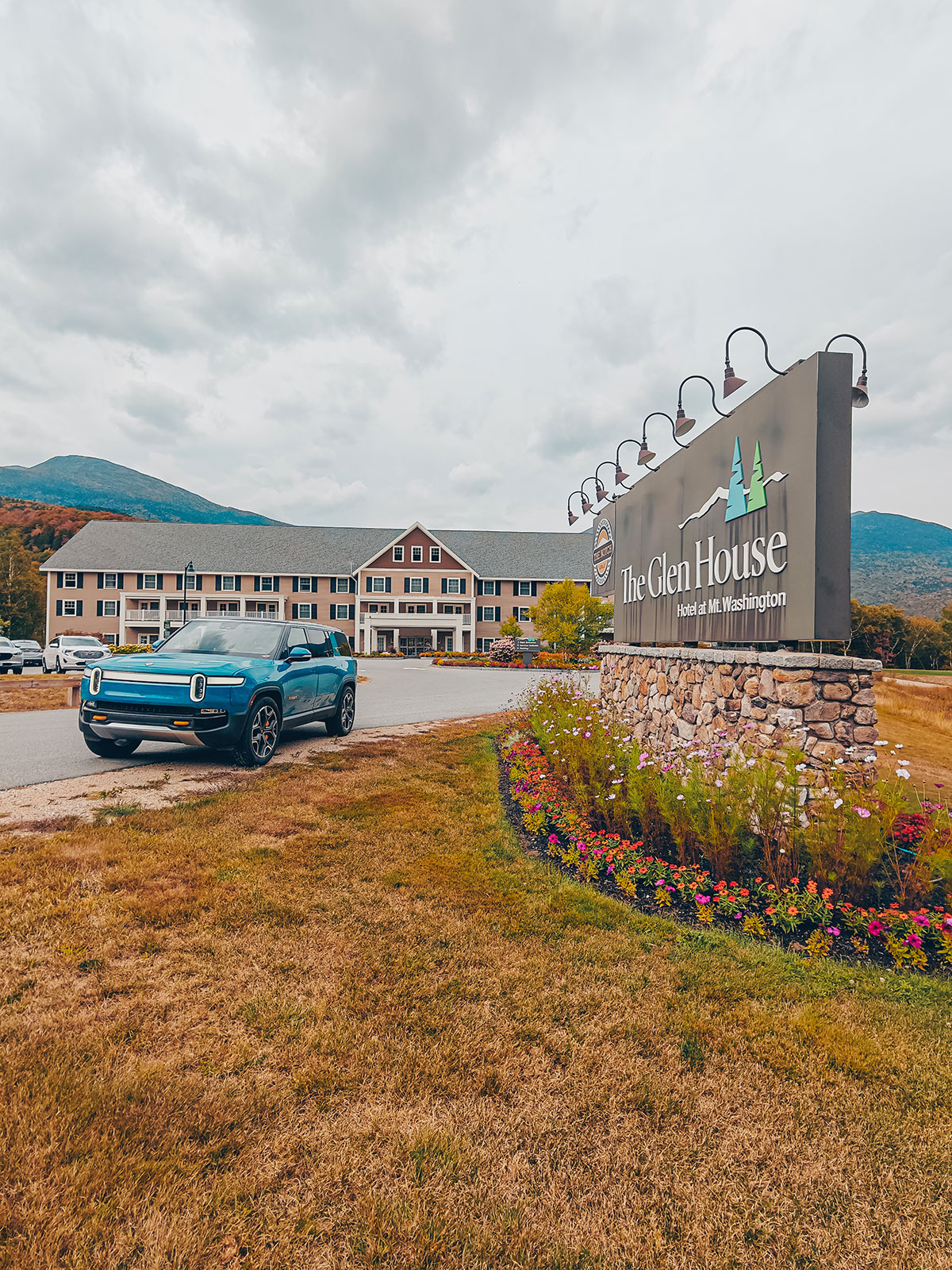
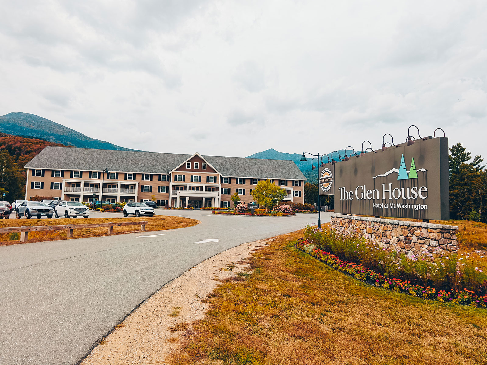
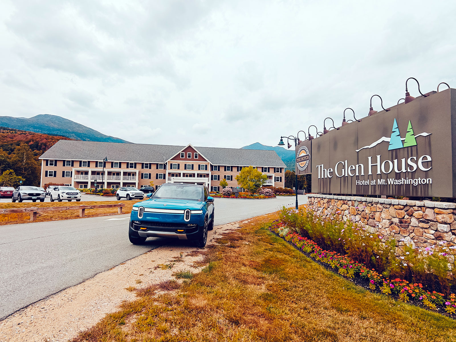
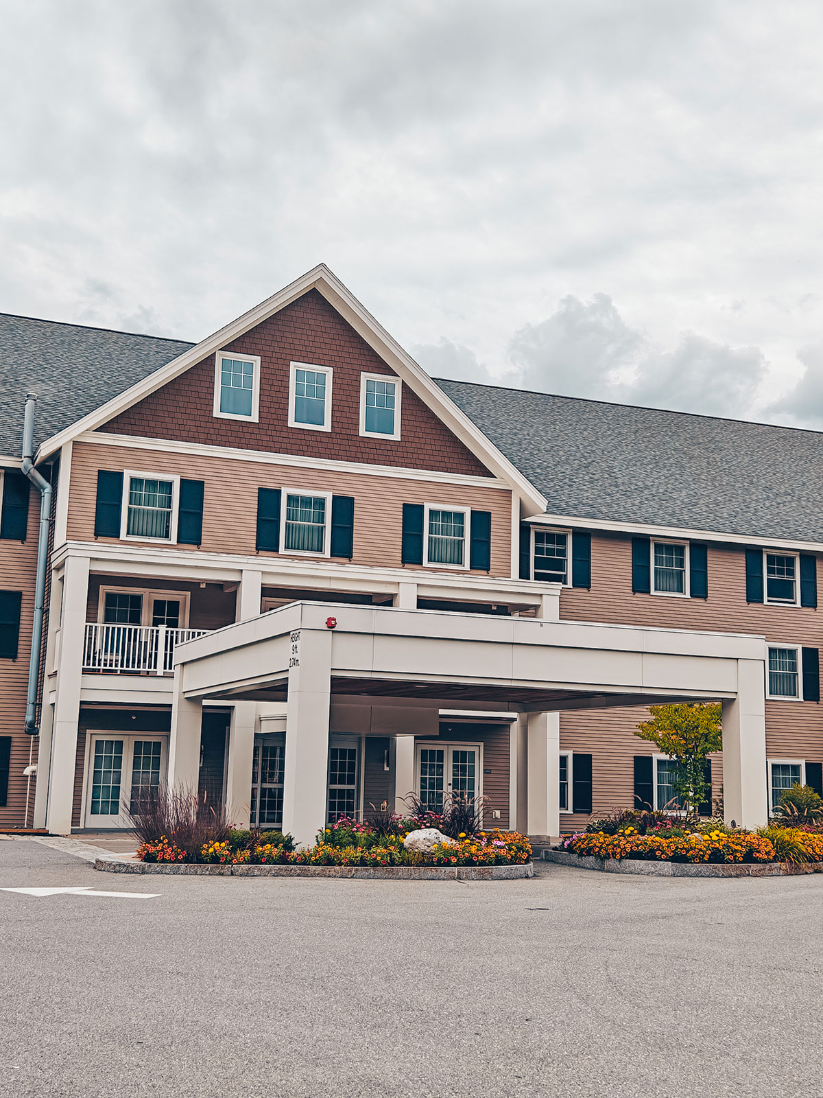
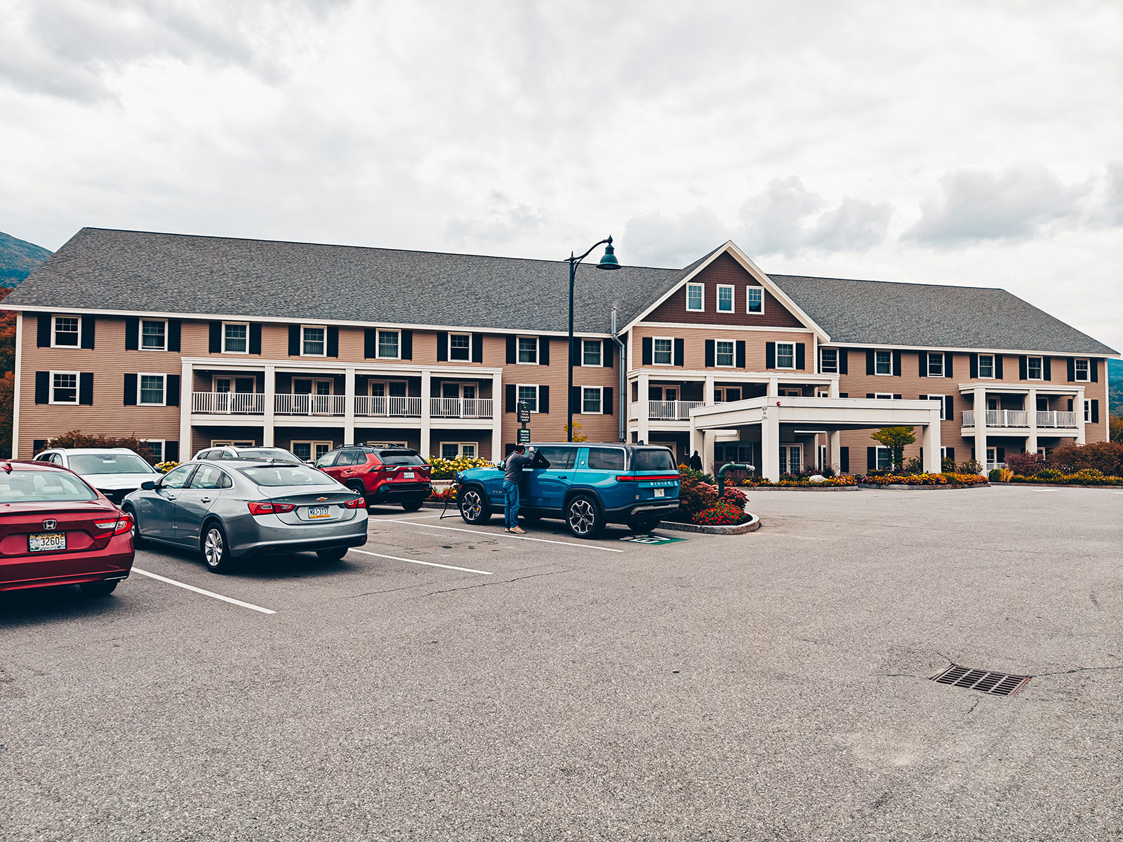
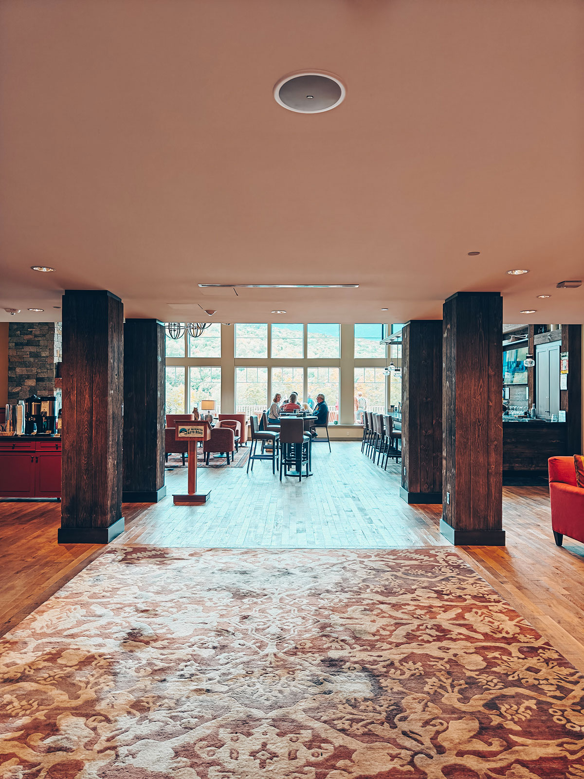
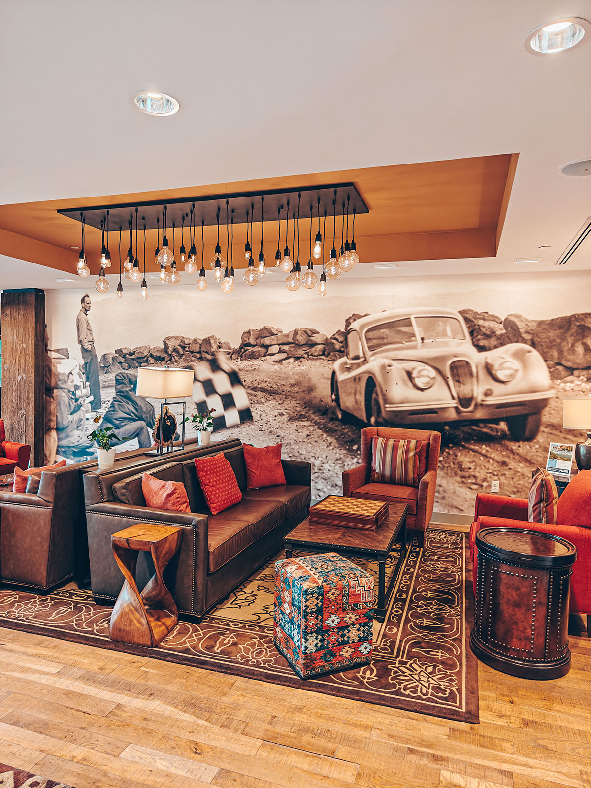
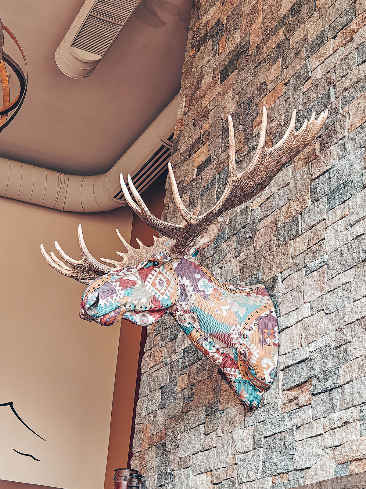
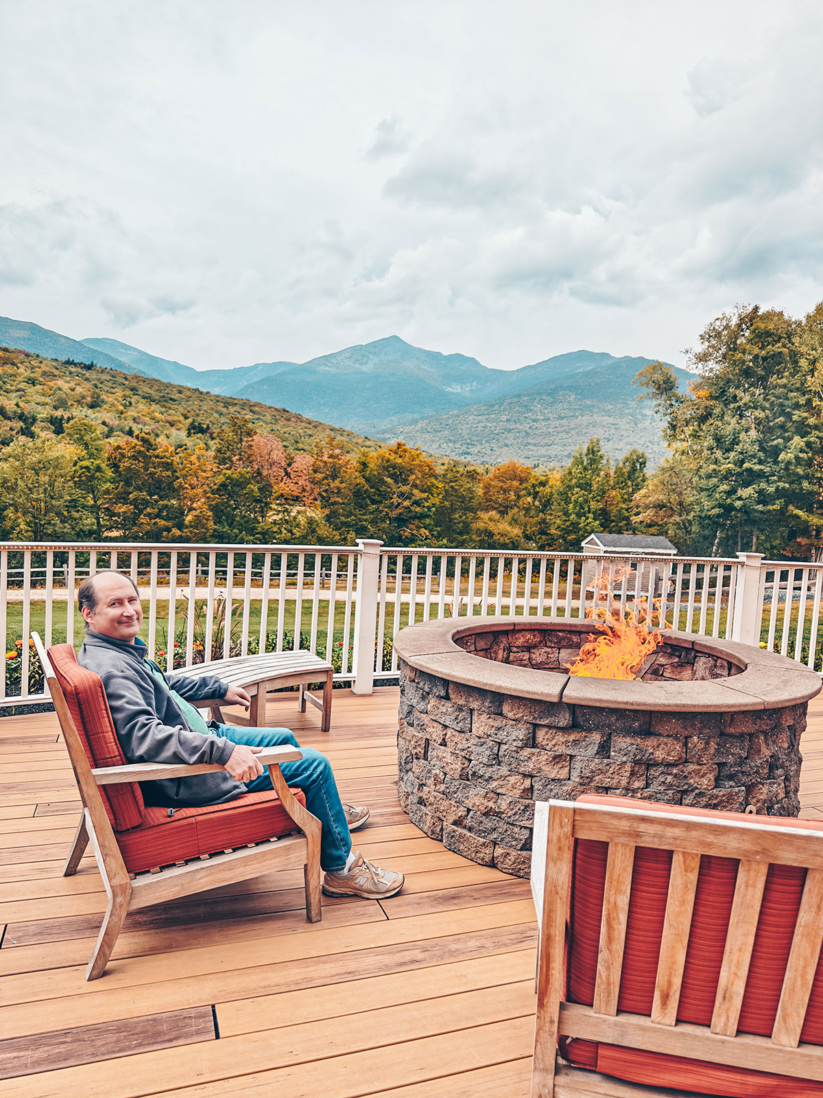
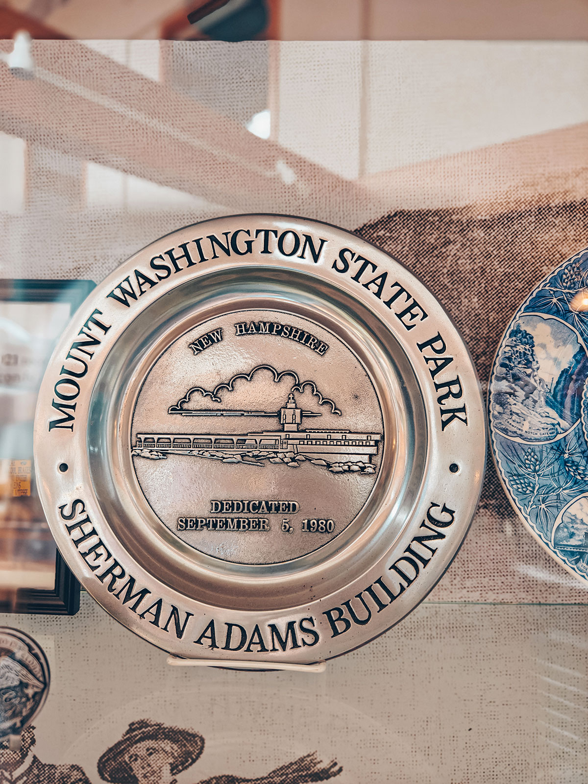
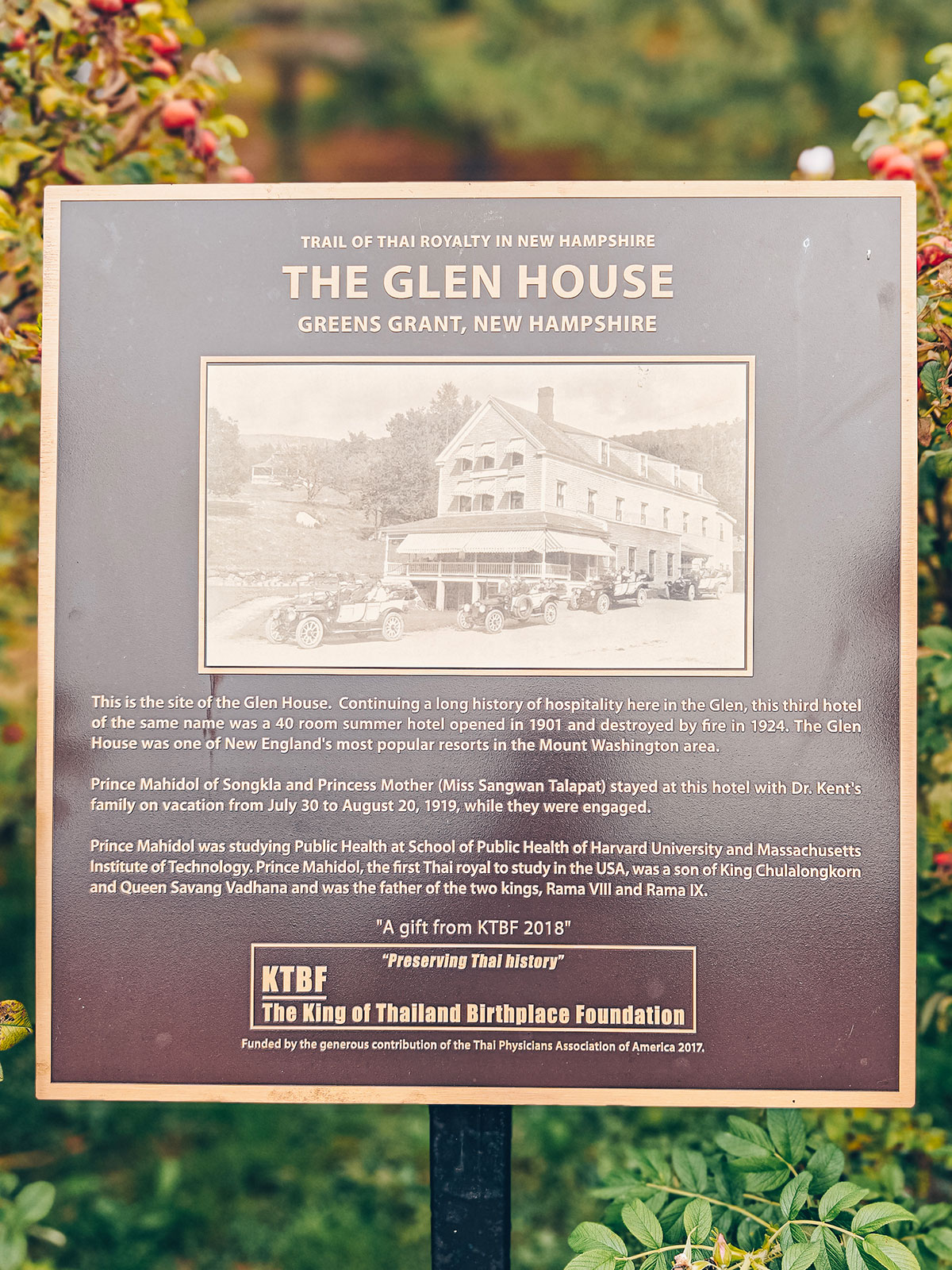
At the foot of the mountainAt the foot of Mount Washington, a stop was in order. The Glen House, standing face to face with the mountain, seemed built precisely to stretch this moment out. From the dining room and its wide terrace, the eye settles naturally on the immense silhouette towering over the whole valley. Inside, the pale wood, the stone and the tall windows created a peaceful atmosphere. Hikers were coming back from the trails. Everyone seemed to slow down, as if the mountain naturally imposed its own calm.
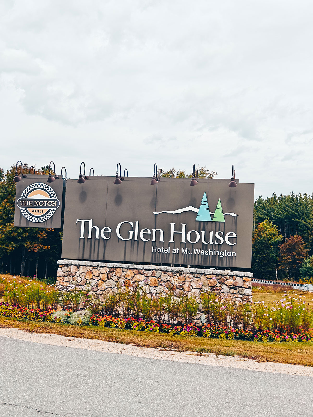
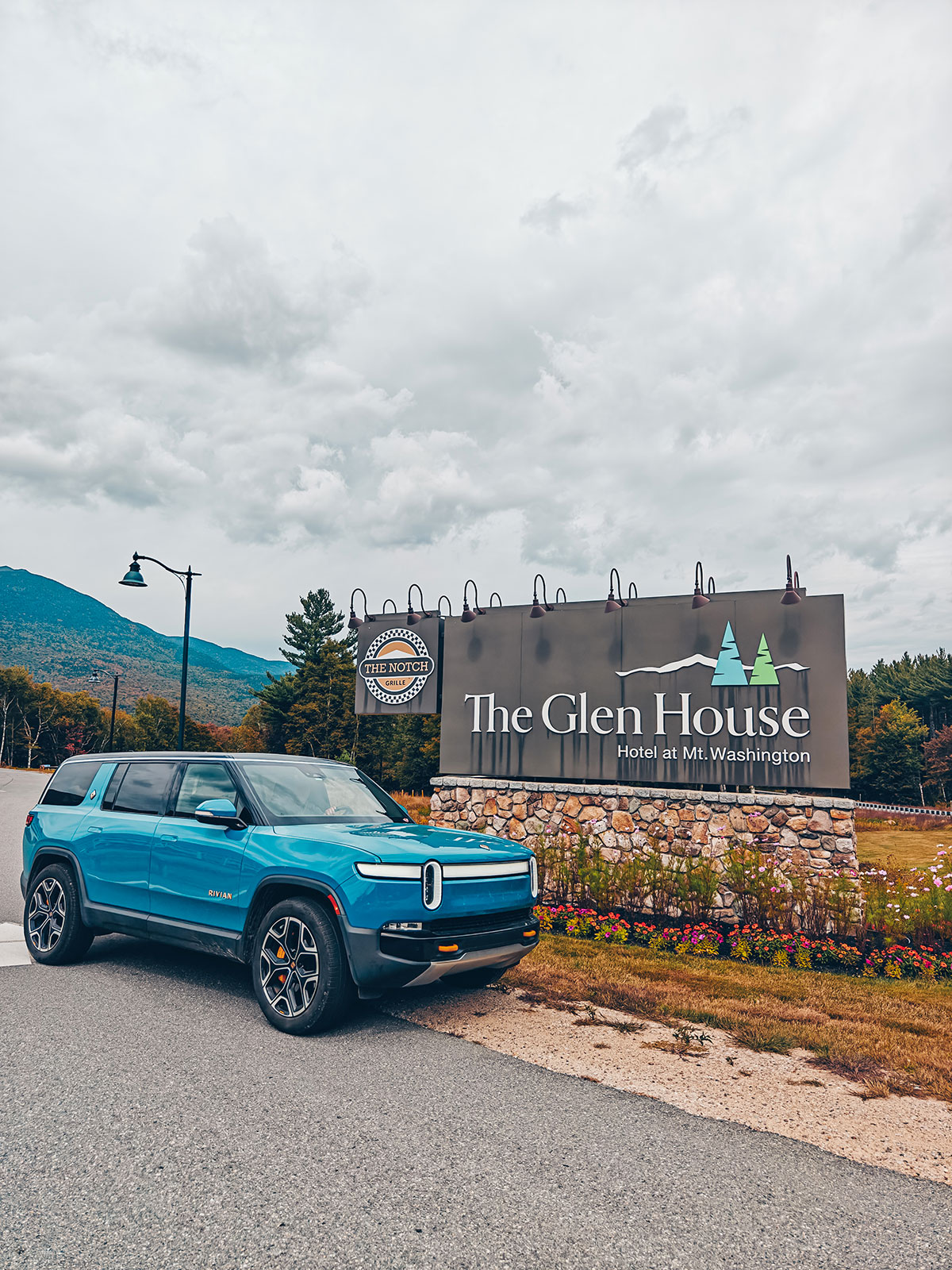
Lunch stop
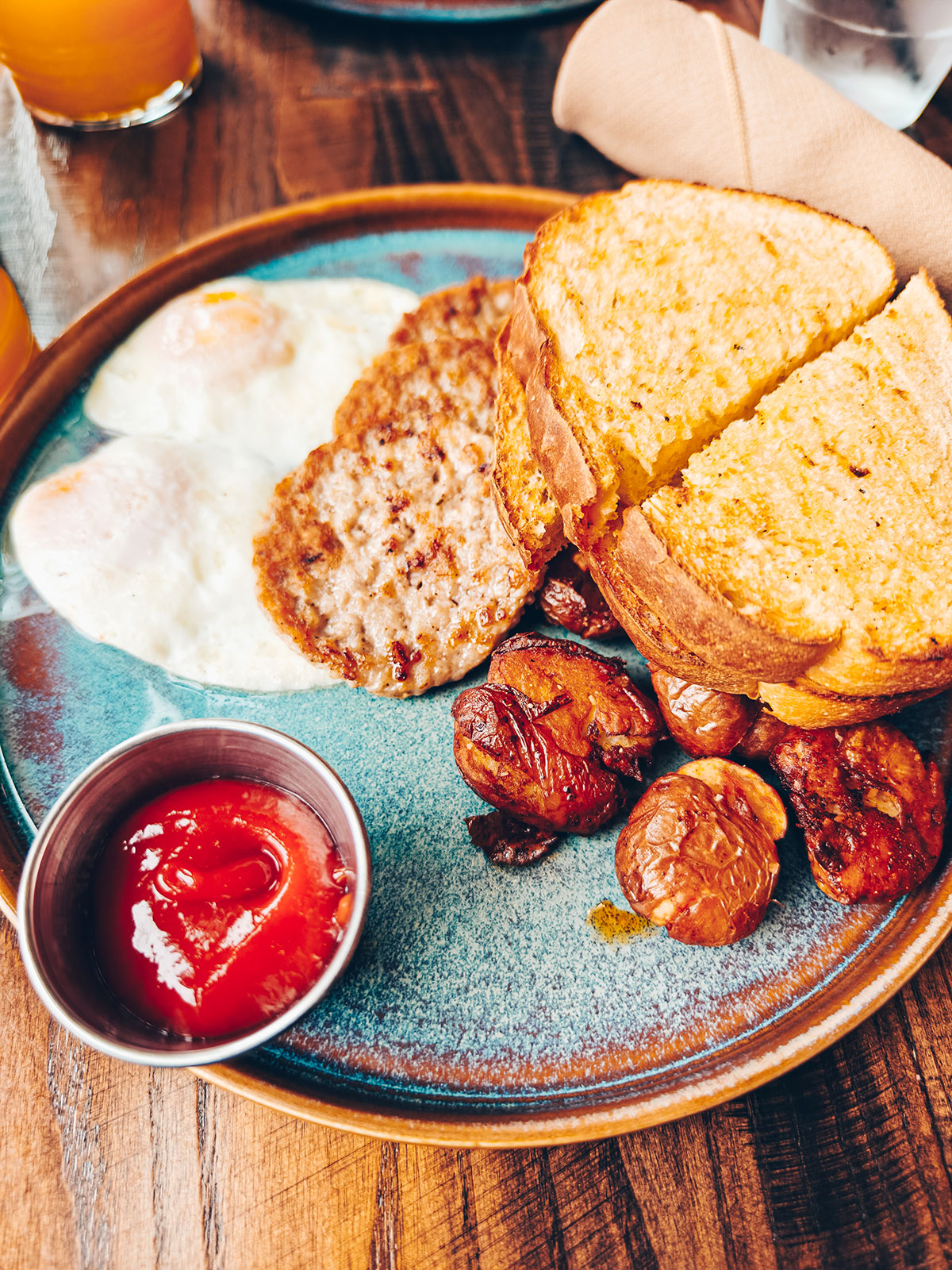
Eggs, toast and hash browns, facing the mountain we had just come back down.
Pinkham Notch
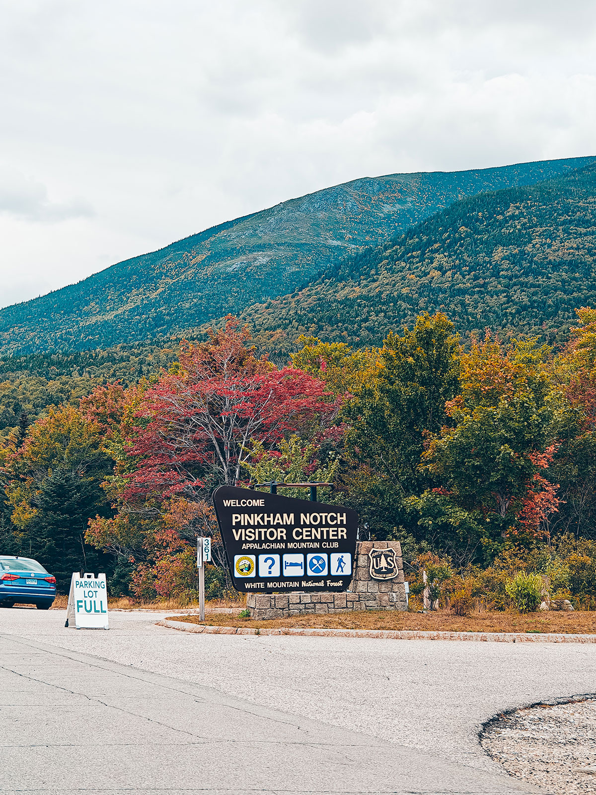
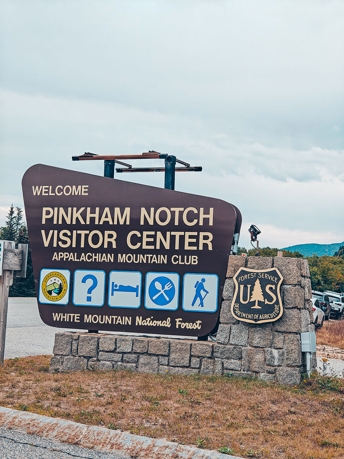
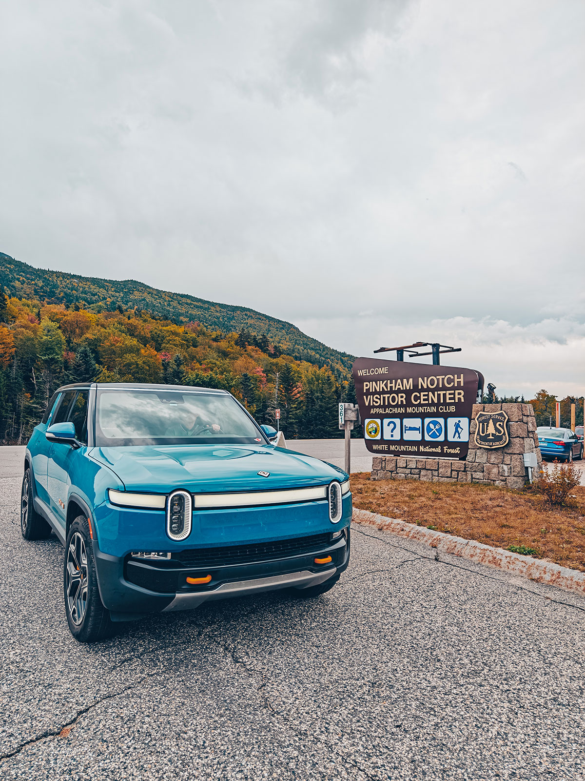
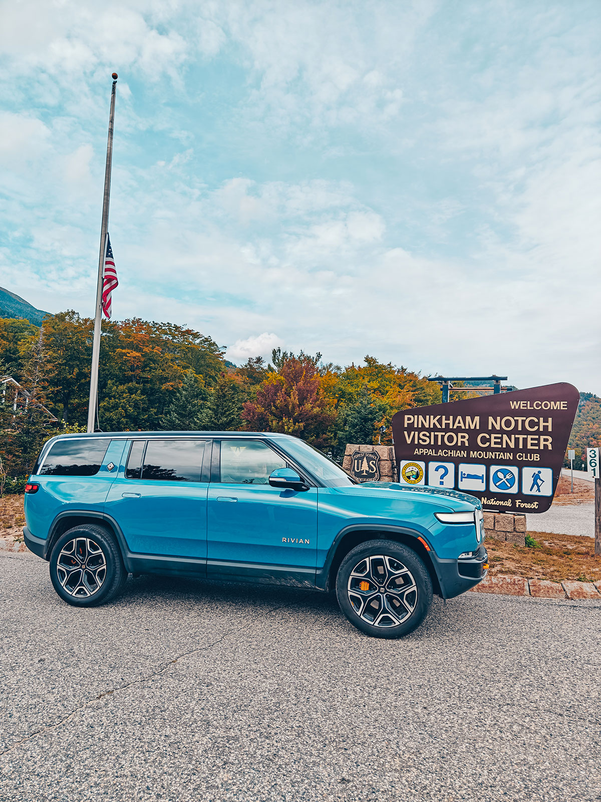
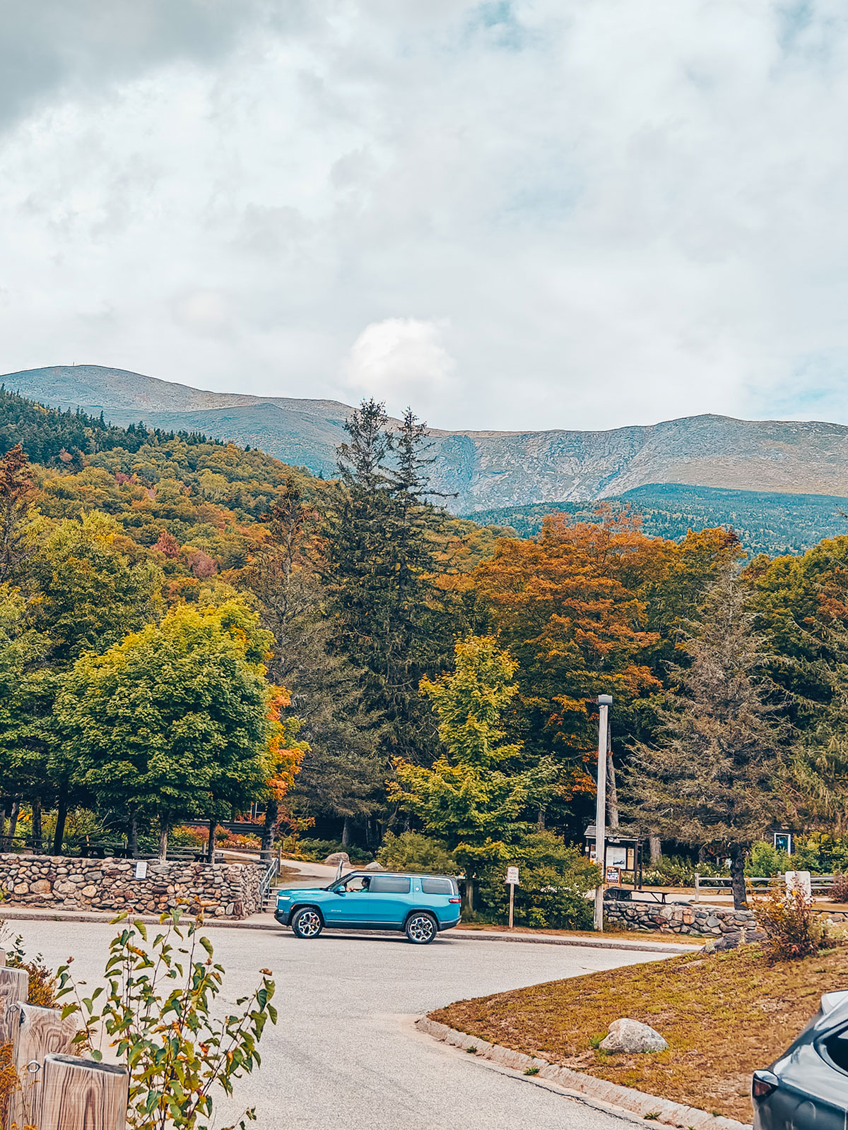
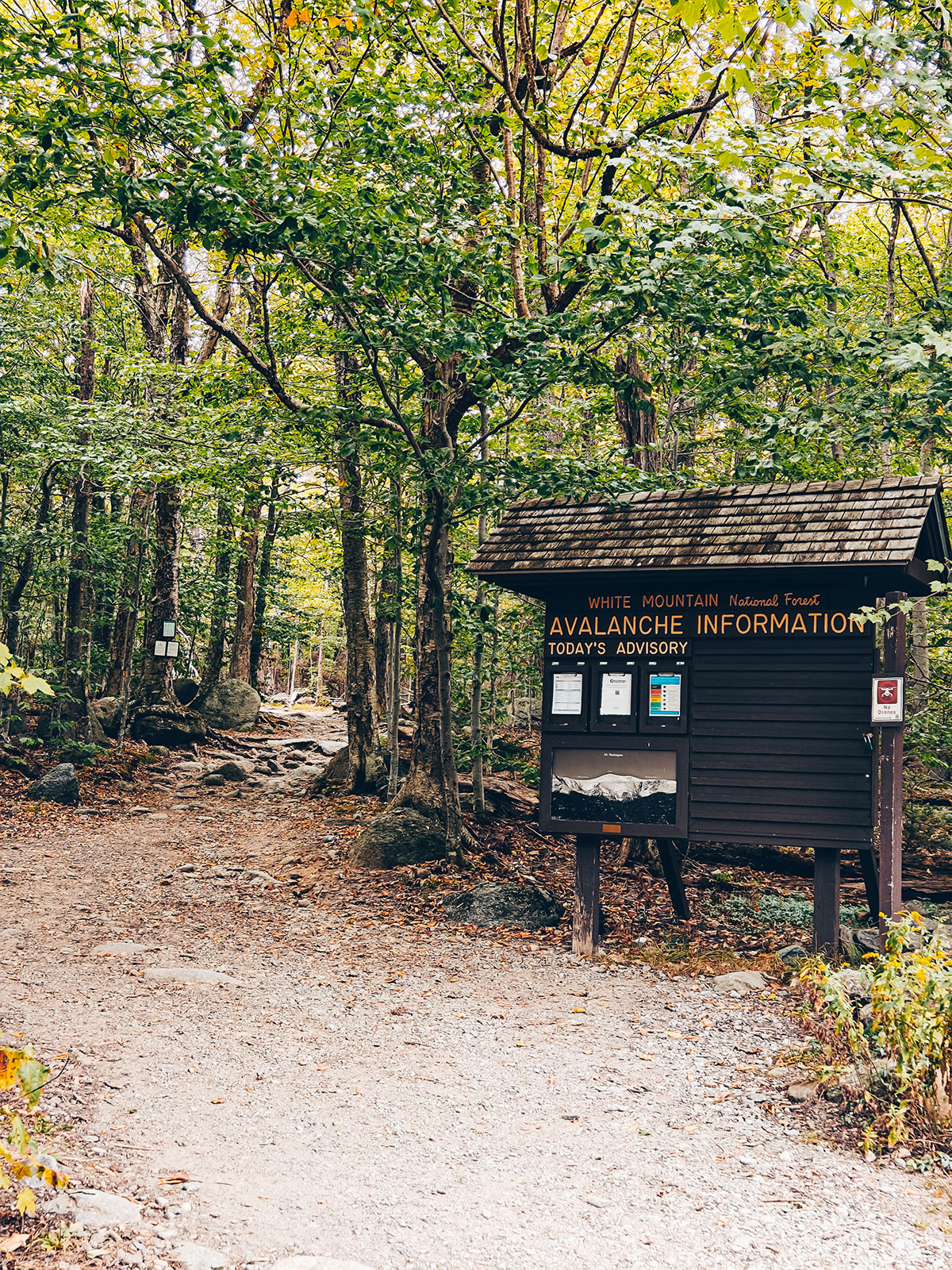
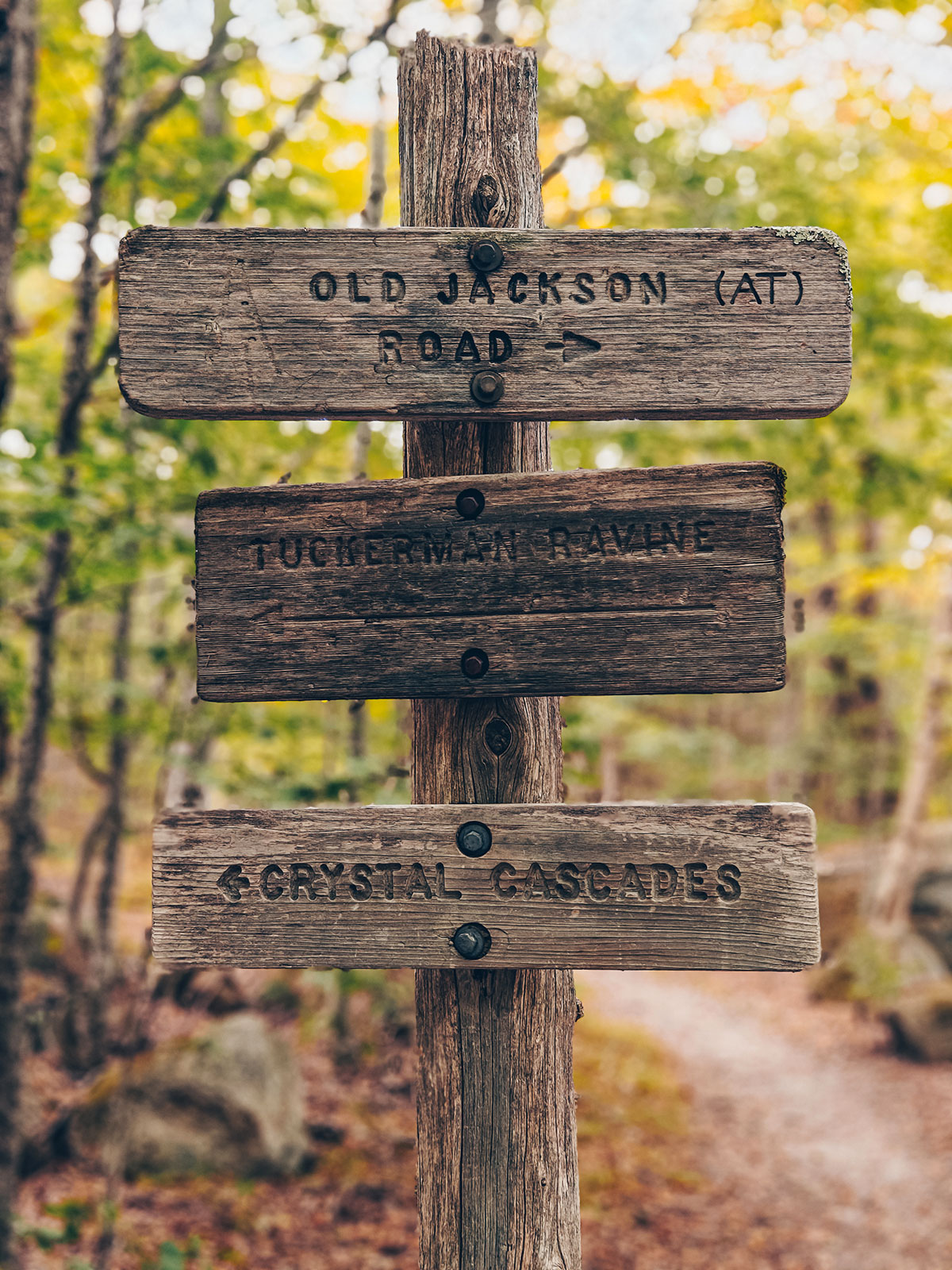
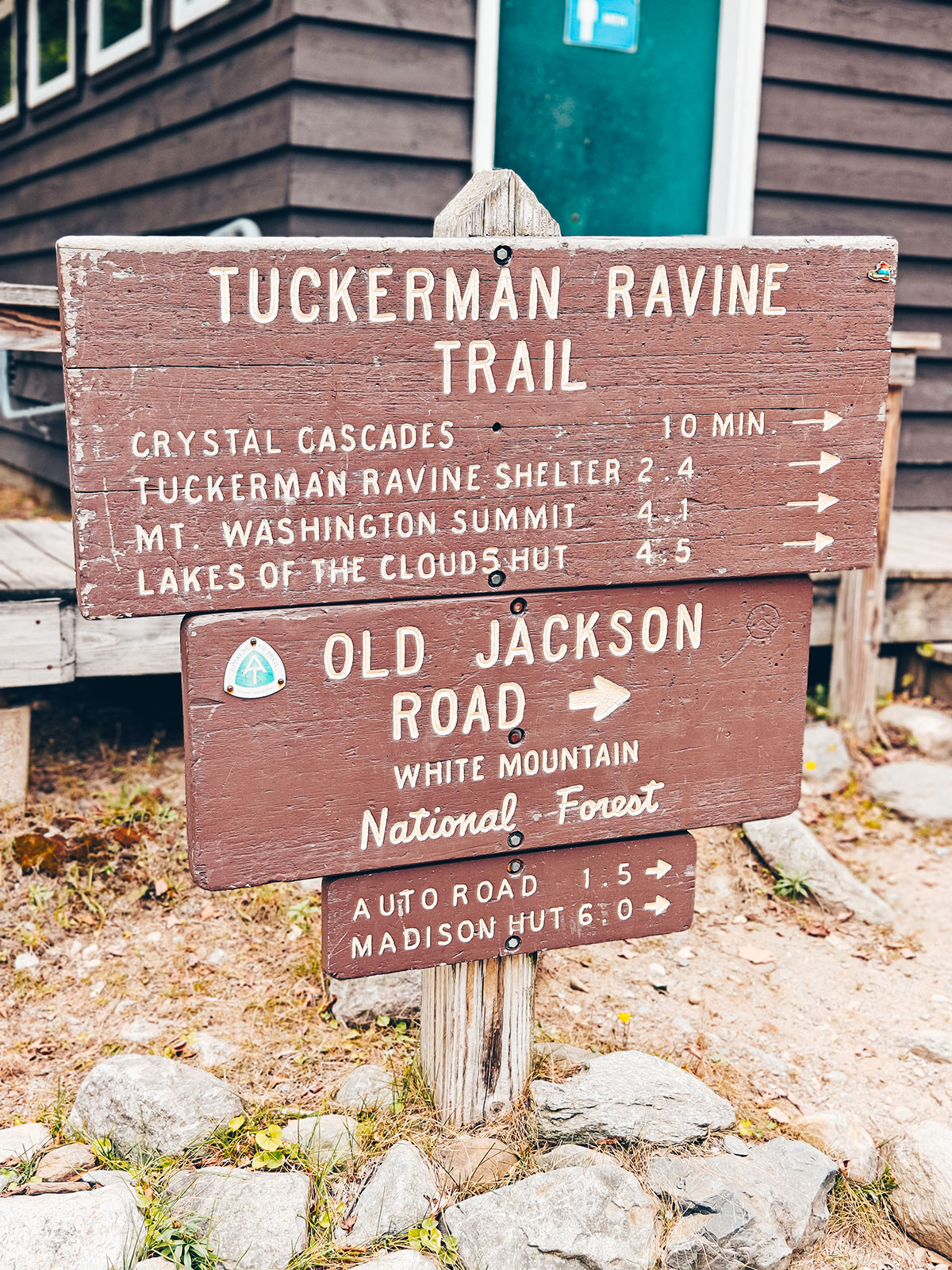
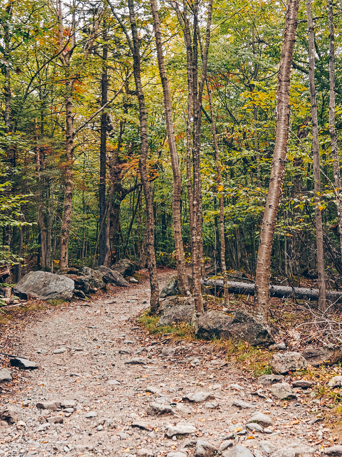
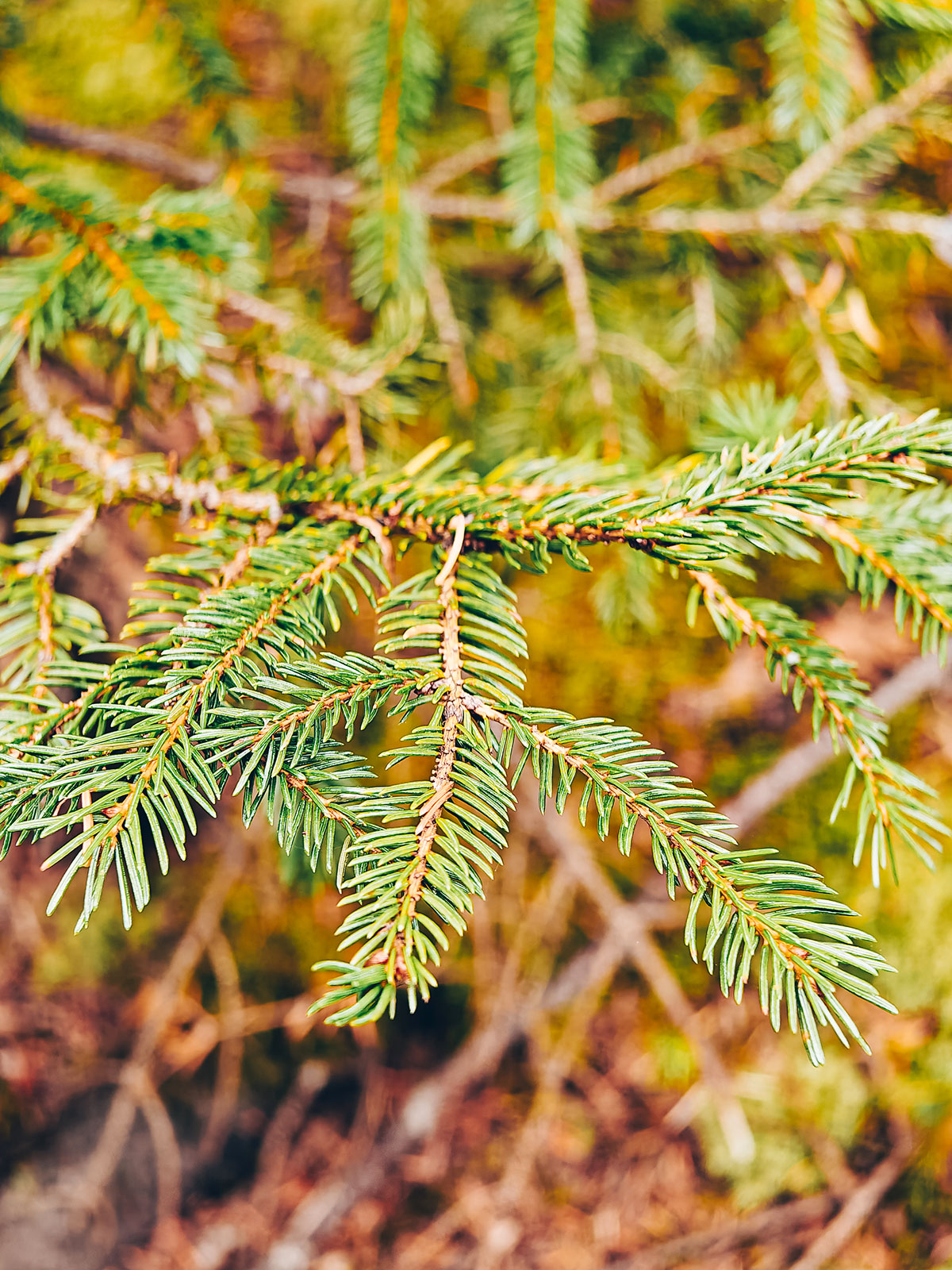
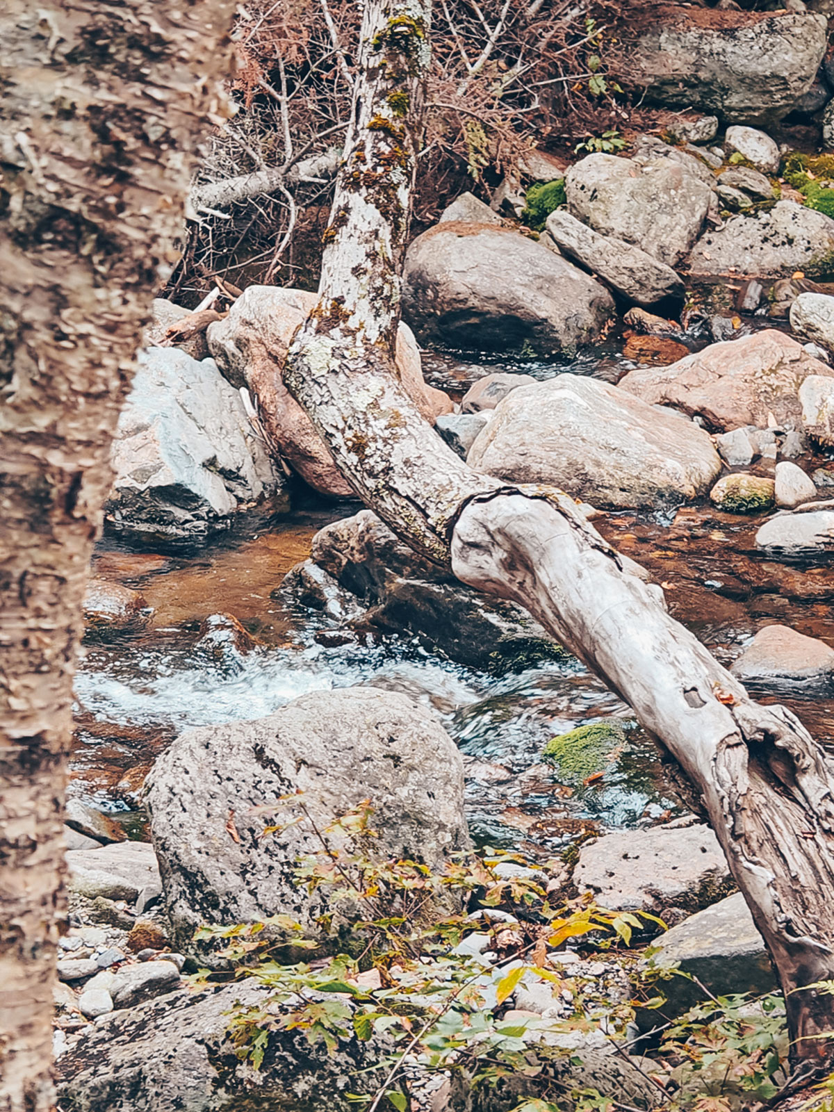
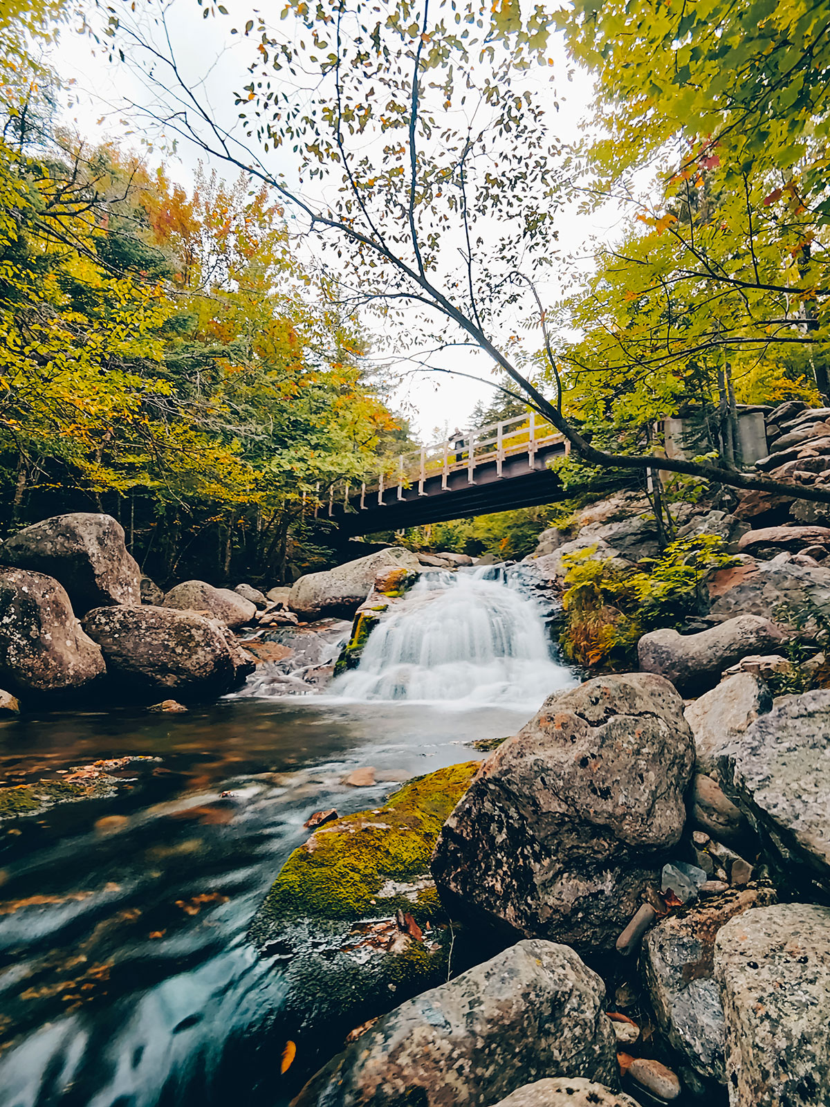
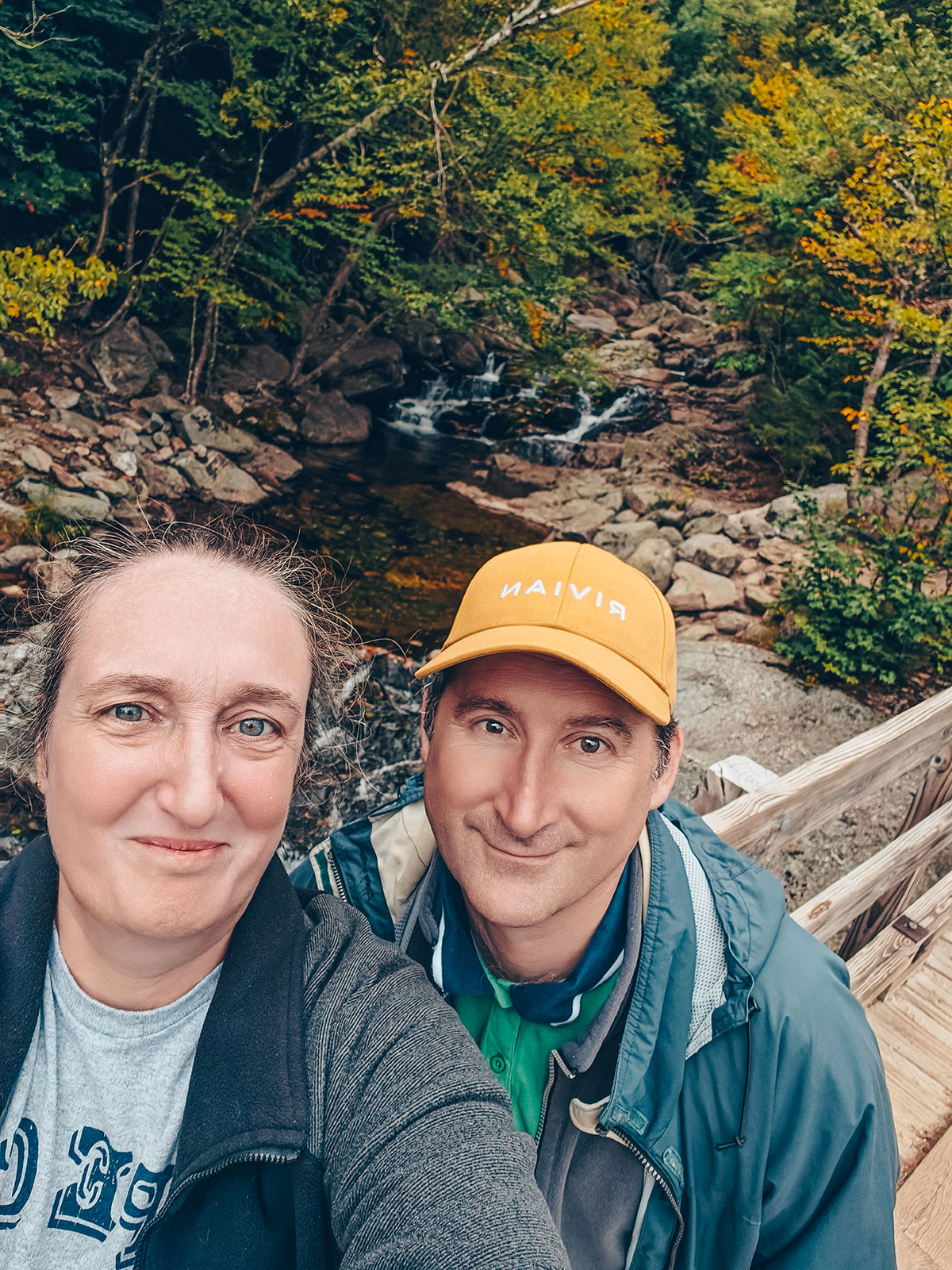
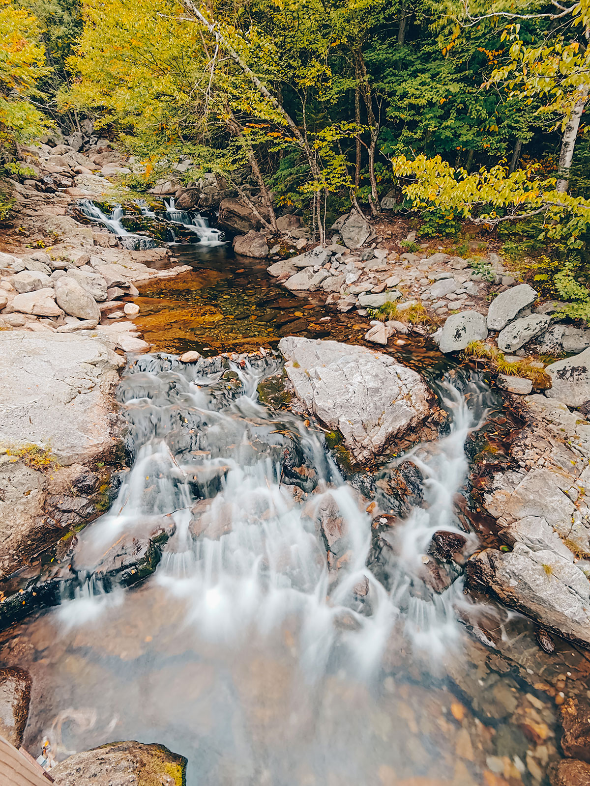
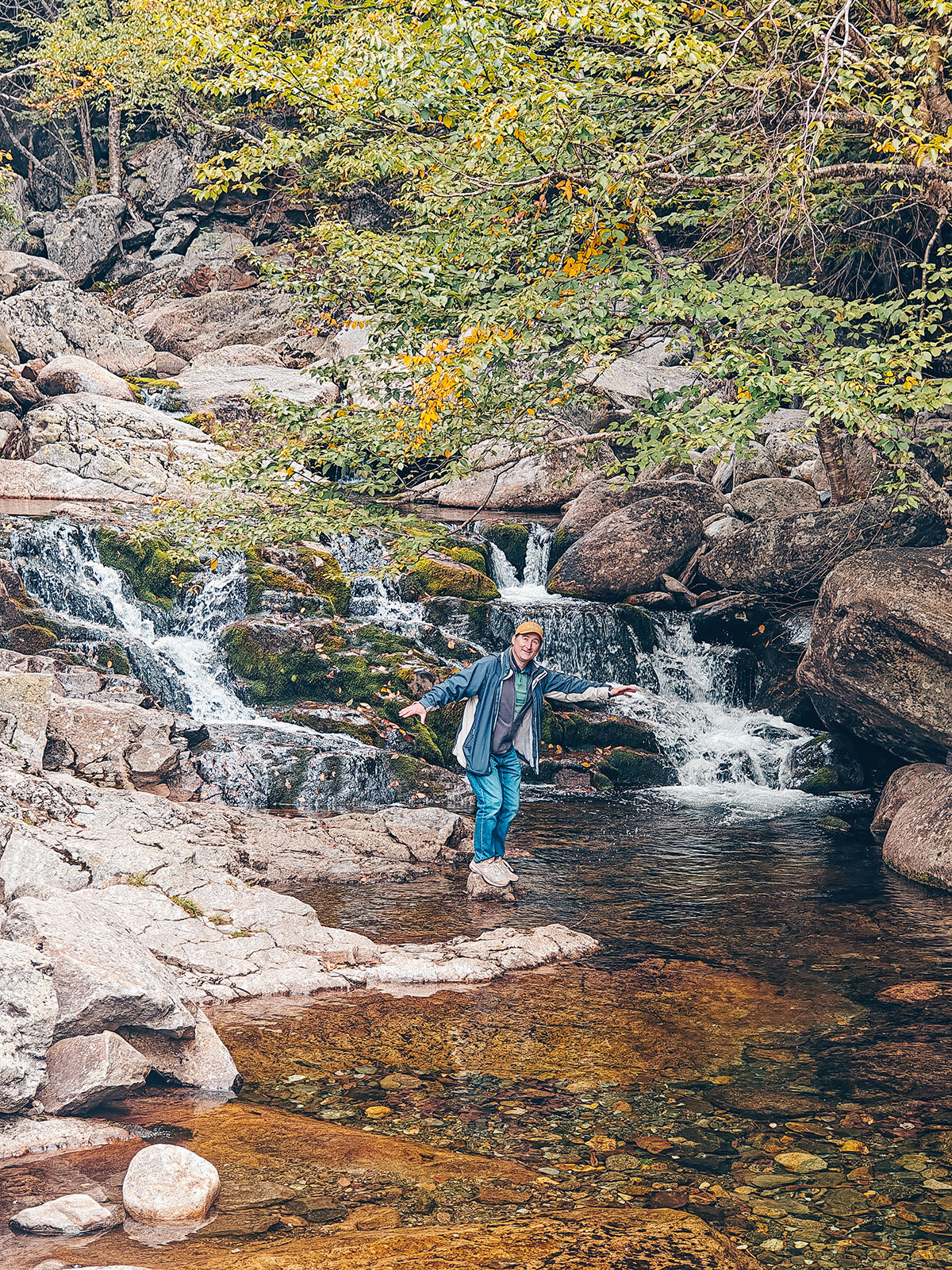
Crystal CascadeWe had barely stepped out of the Rivian when the smell of damp forest wrapped around us. A blend of moss, resin, freshly fallen leaves and black earth. The trail slipped gently in under the tall firs. Very quickly, the sound of water reached us. Faint at first. Then more and more present. A few metres further on, Crystal Cascade appeared. We stayed there for a few minutes. Without speaking. Simply listening.
The undergrowth
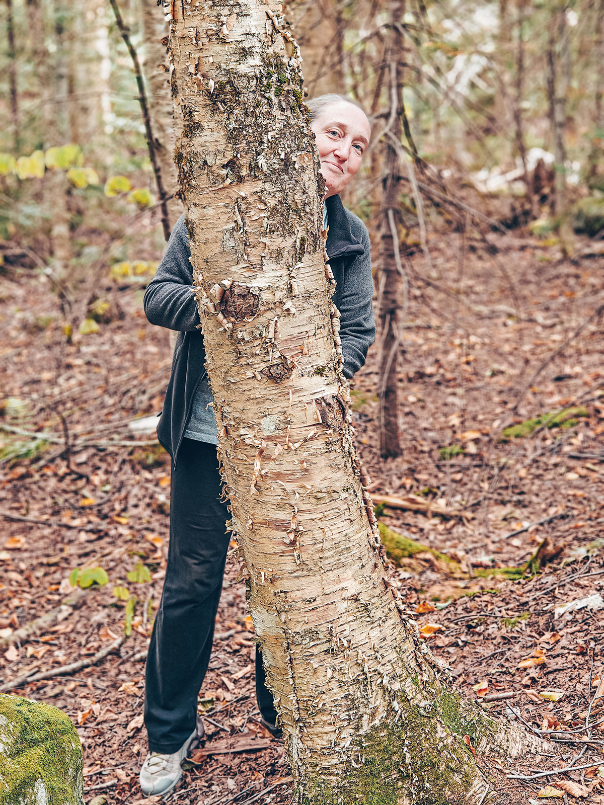
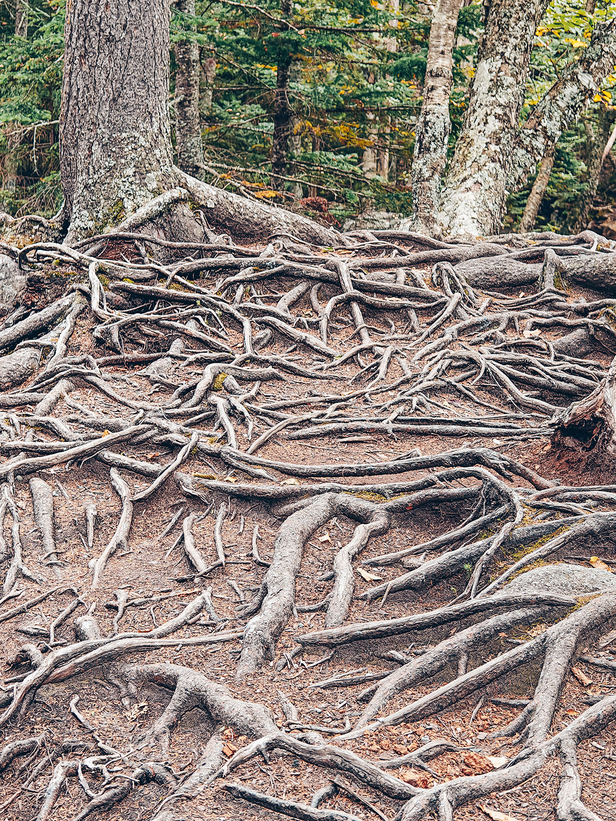
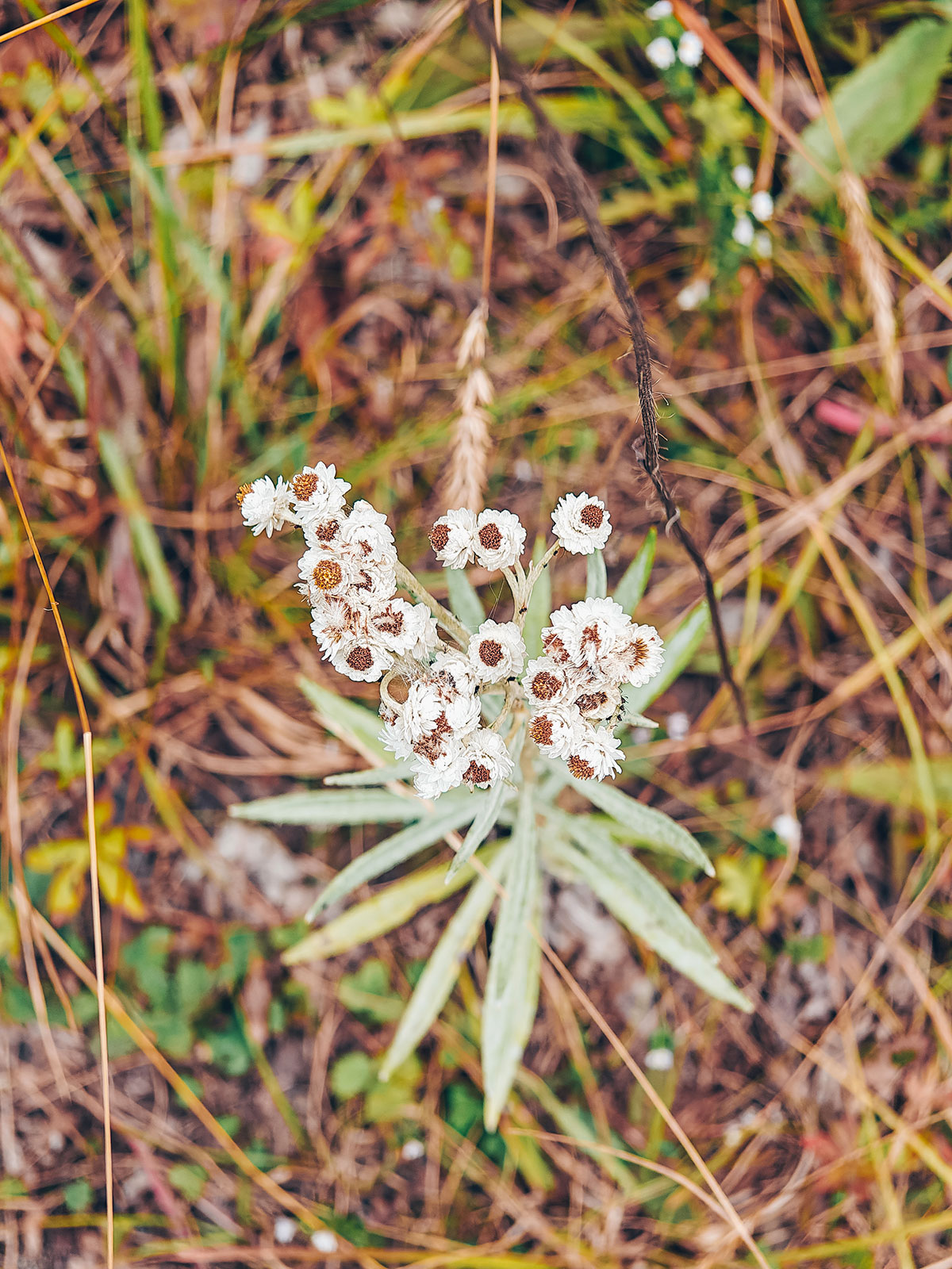
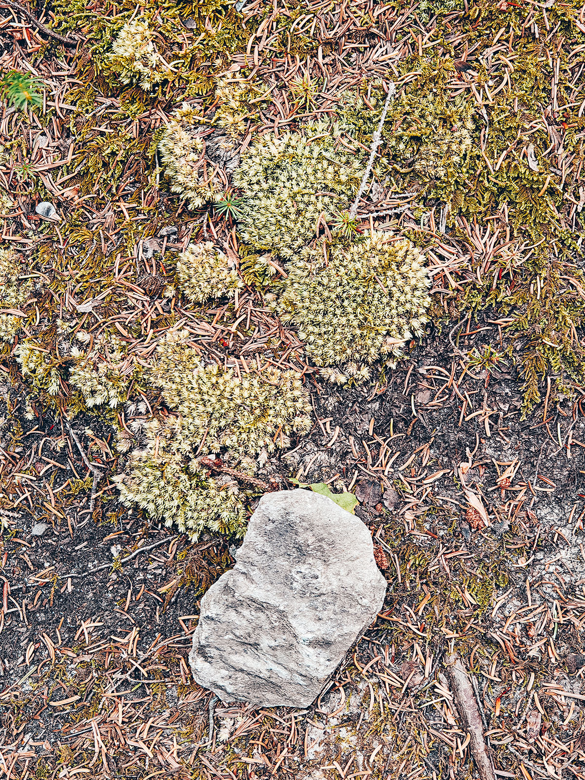
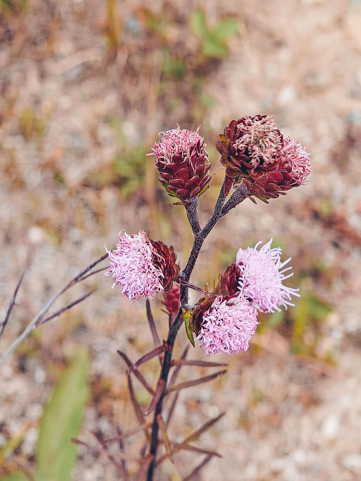
A carpet of needles, yellowing ferns, and mountain maples lighting the ground with red and orange.
The smell
Moss, resin, freshly fallen leaves and black earth — the smell of the great Northeastern forests.
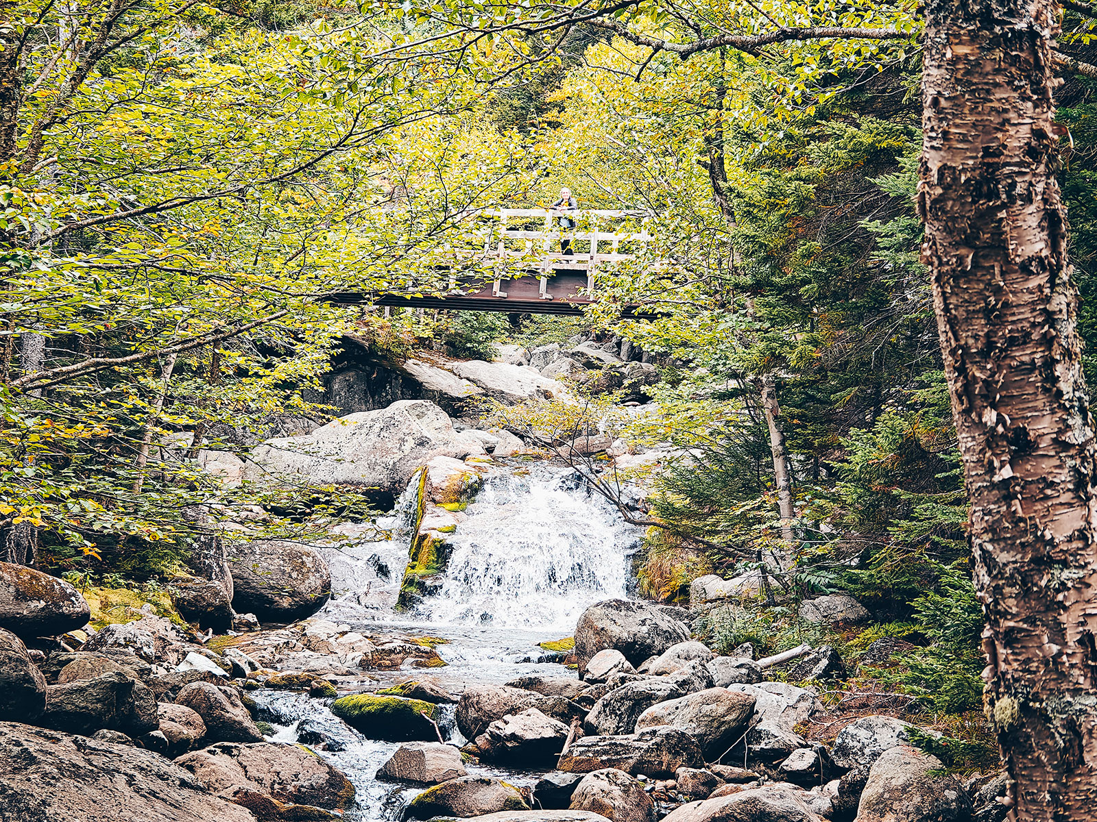
Crystal Cascade
About a hundred feet
In two drops · a ten-minute walk from the visitor centre
The way home
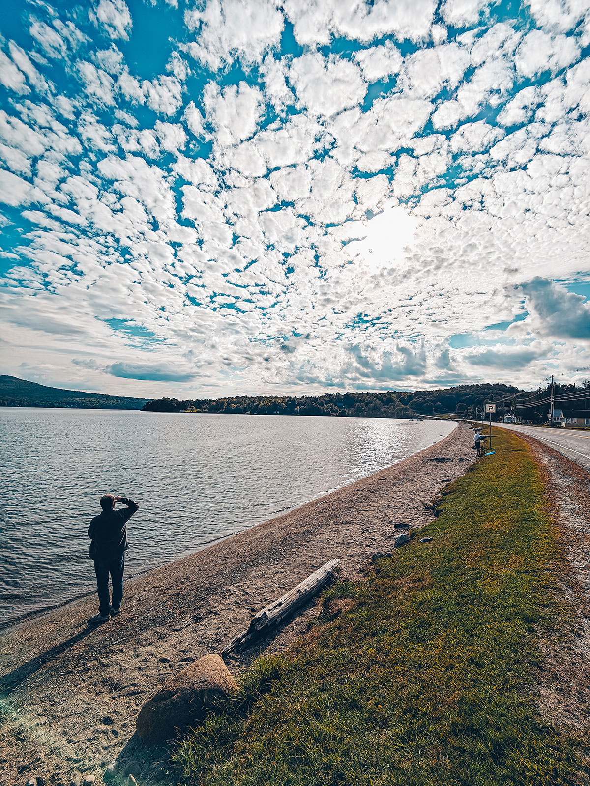
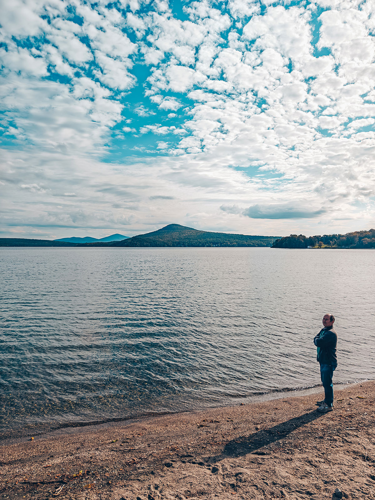
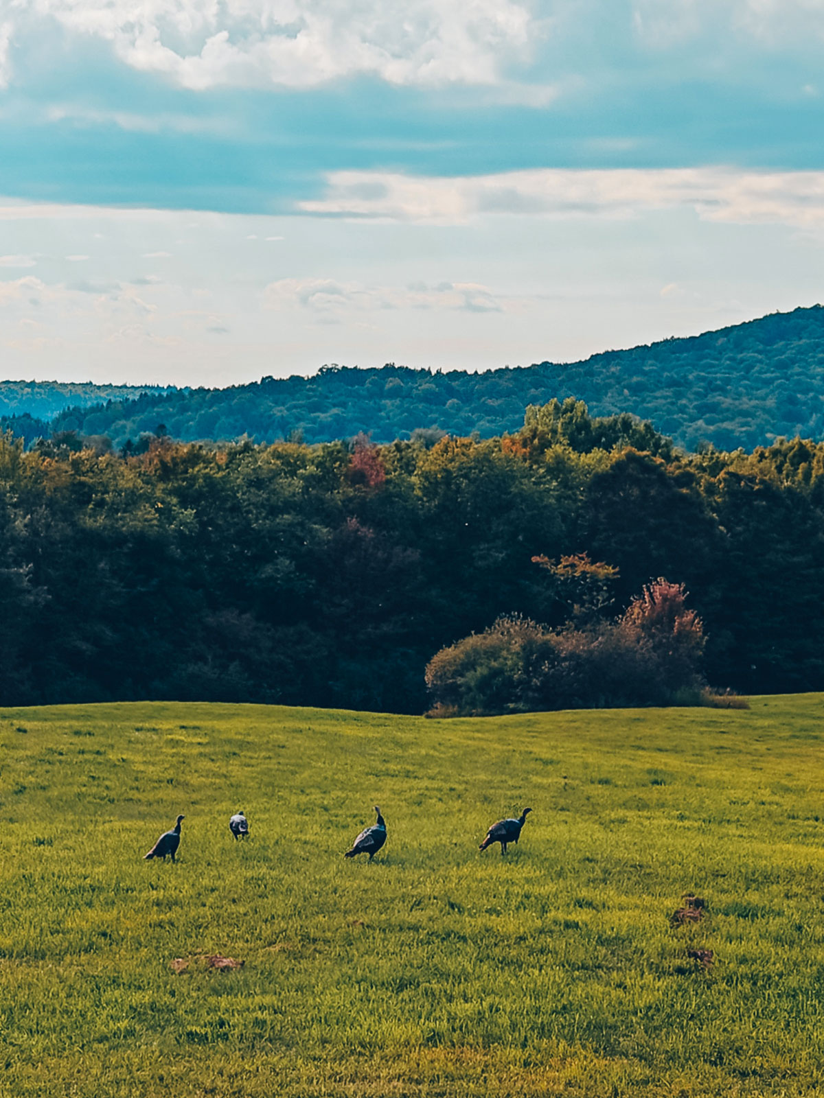
Toward the borderOn the way home, magnificent landscapes kept us company all the way to the border. Not least that pond in a tiny village whose name escapes us: the clouds were mirrored in it, making the water almost magical. Then, around a bend, we caught sight of wild turkeys walking calmly along the verge. An unexpected sight, and a reminder that nature always has its surprises.
On the verge
Wild turkeys, quite unbothered, halfway across.