Côte-Nord notebook · the complete album
the road to
Manic-5
From the edge of Granby all the way to the Daniel-Johnson dam along Route 389, and back — the whole trip, in the order we lived it: every village, every stop, every charge.
The route
Granby → Manic-5 → Granby
July 21 & 22, 2026
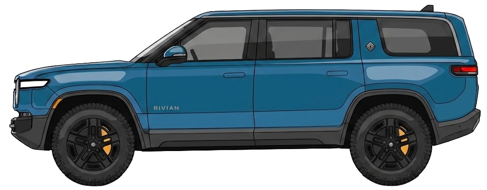
The car
Rivian R1S Quad Gen 1
4 charging stops · CCS
Ferry
all roads
lead north
Reading the map
- a stop on the trip
- the highway, as far as Québec City
- Route 138, then Route 389
- the St. Lawrence River
Granby → 139 → 55 → 20,
as far as Québec City — 227 km.
The drive out
Québec City · CharlevoixSaint-Augustin, Beauport, the Côte-de-Beaupré, Baie-Saint-Paul, Saint-Urbain: Route 138 settles in along the river and never lets go of it again.
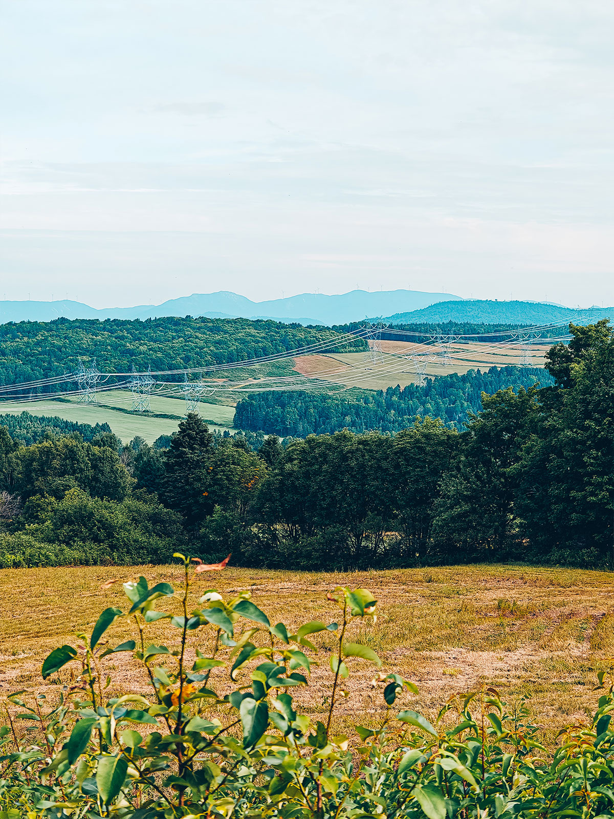
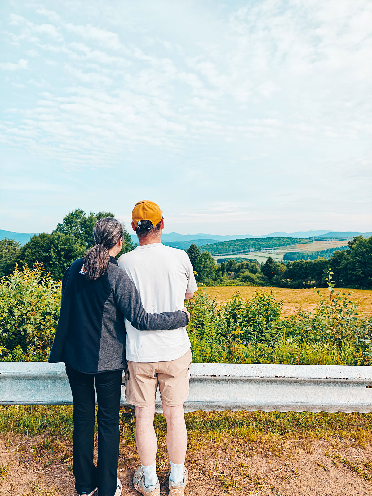
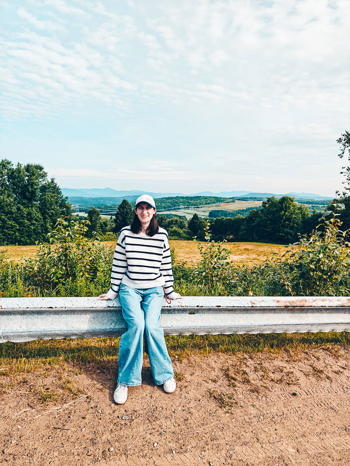
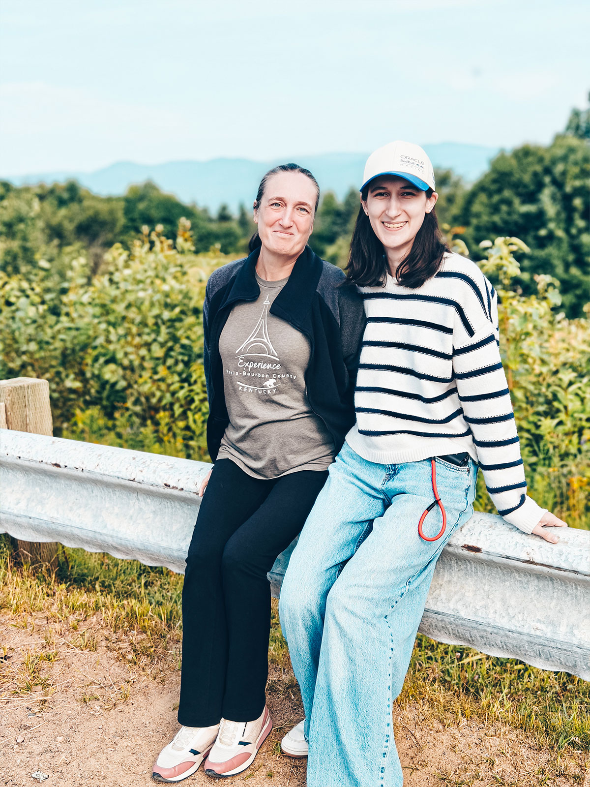
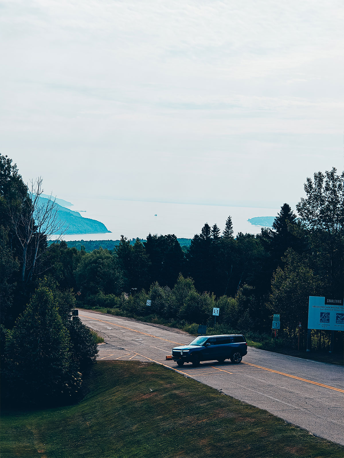
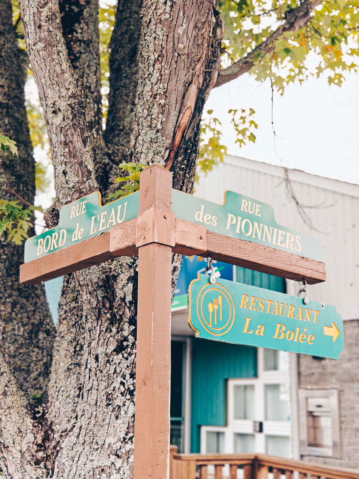
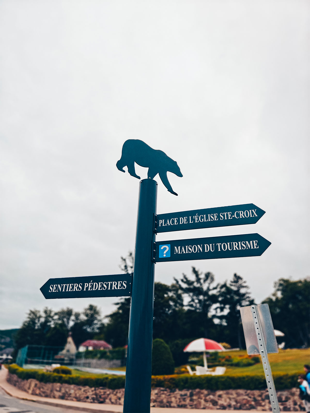
The tourist sign sets the tone: Route du fleuve, Route des montagnes. We'll take both.
The first leg
227 kmFrom Granby to Québec City via the 139, the 55 and the 20.
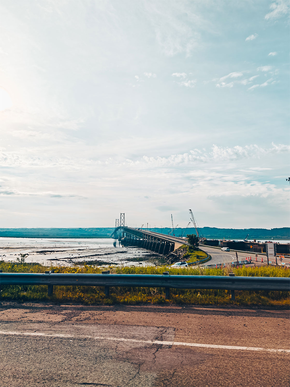
Route 138 takes over and follows the river all the way.
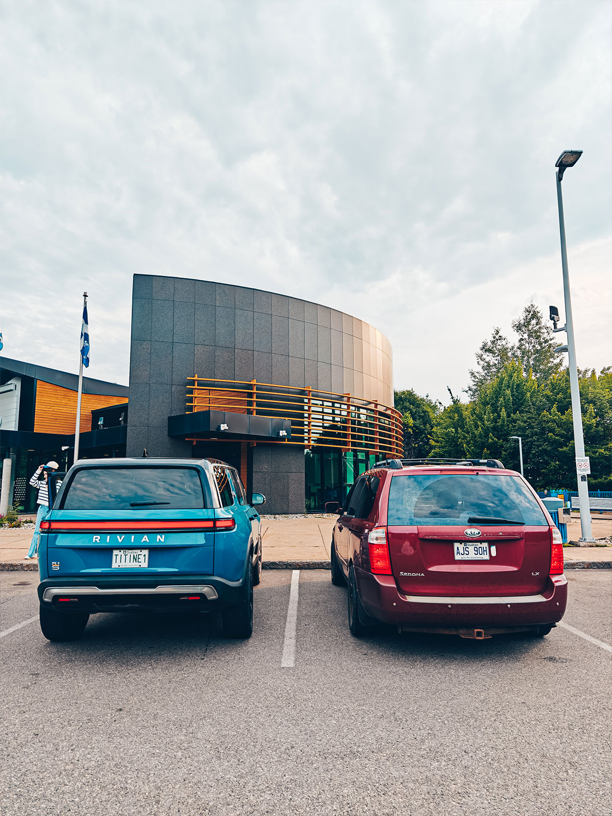
First coffee of the day, somewhere before Québec City.
Route 138
We’ll follow it all the way.
On the way
5stops before reaching Charlevoix.
"Route du fleuve,
route des montagnes"
The Charlevoix sign sets the tone.
La Malbaie
1st charge · 9:45 a.m.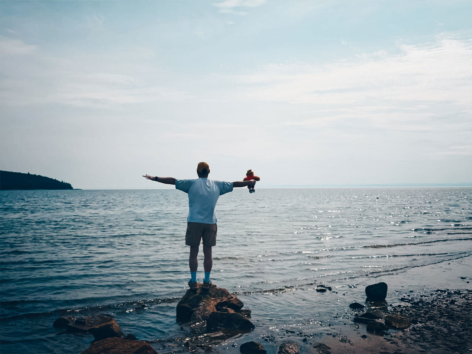
Circuit électrique
La Malbaie, Québec
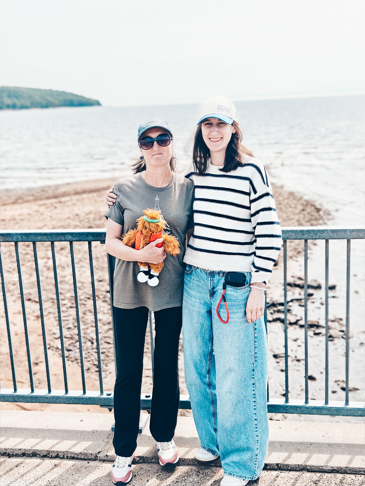
"Here, it already looks more like the sea than a river."
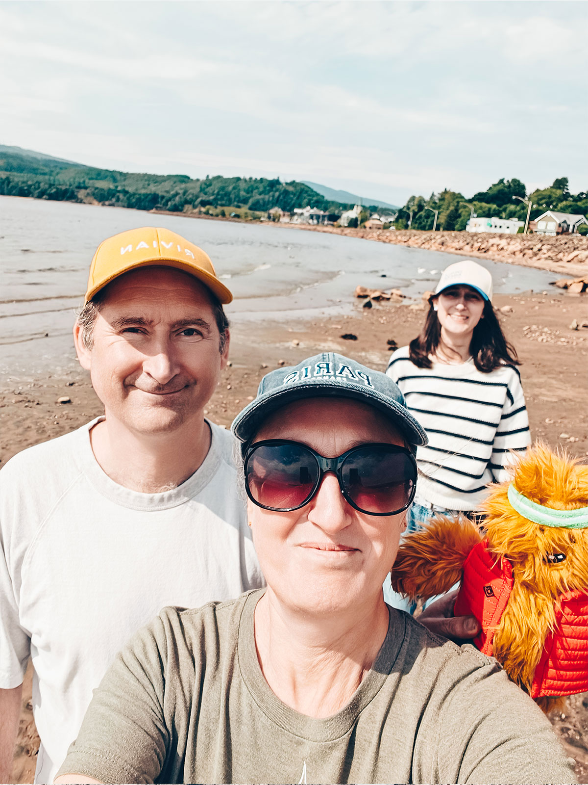
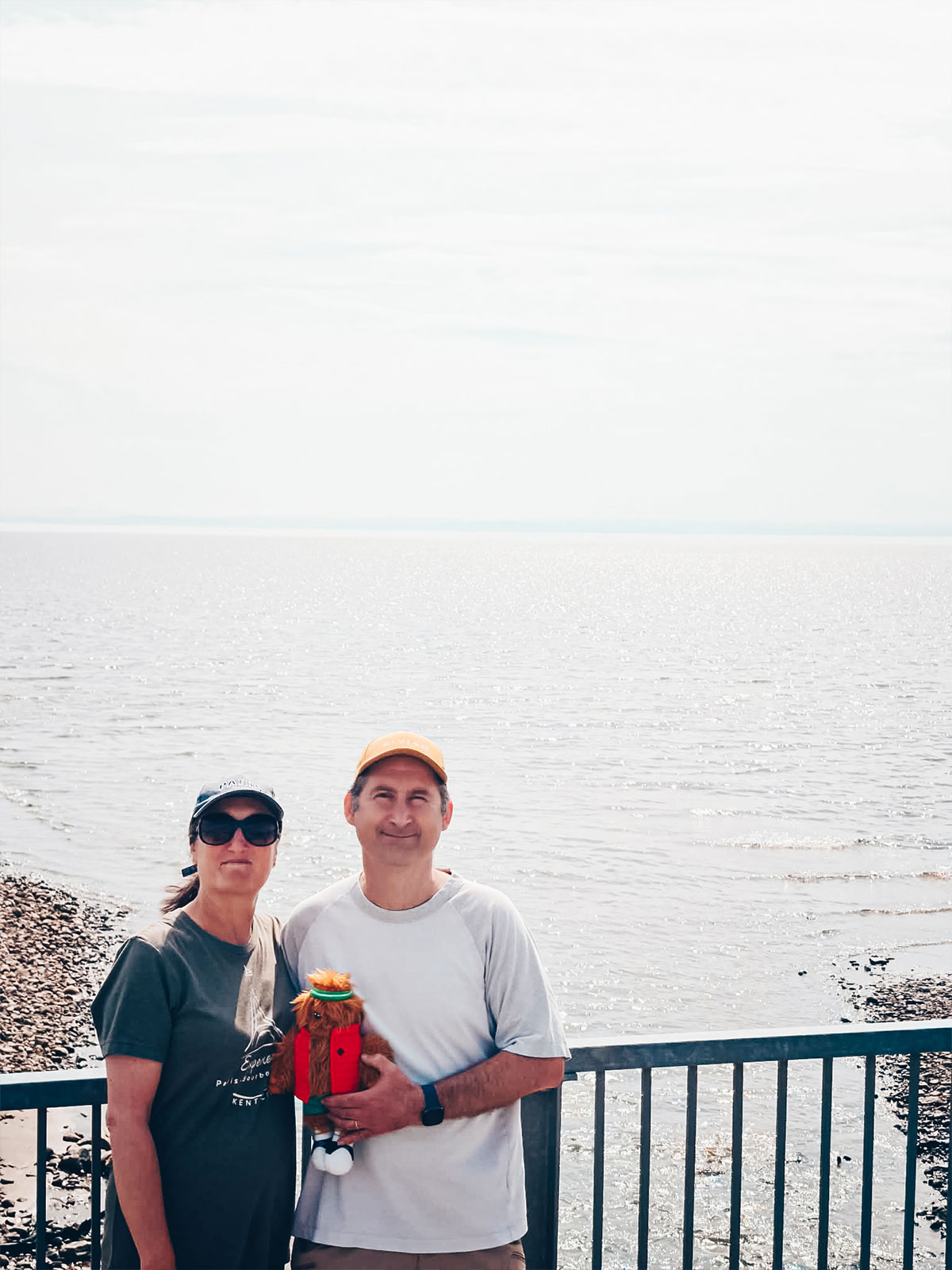
While the Rivian was taking on a few kilowatt-hours, we walked along the water.
The tide
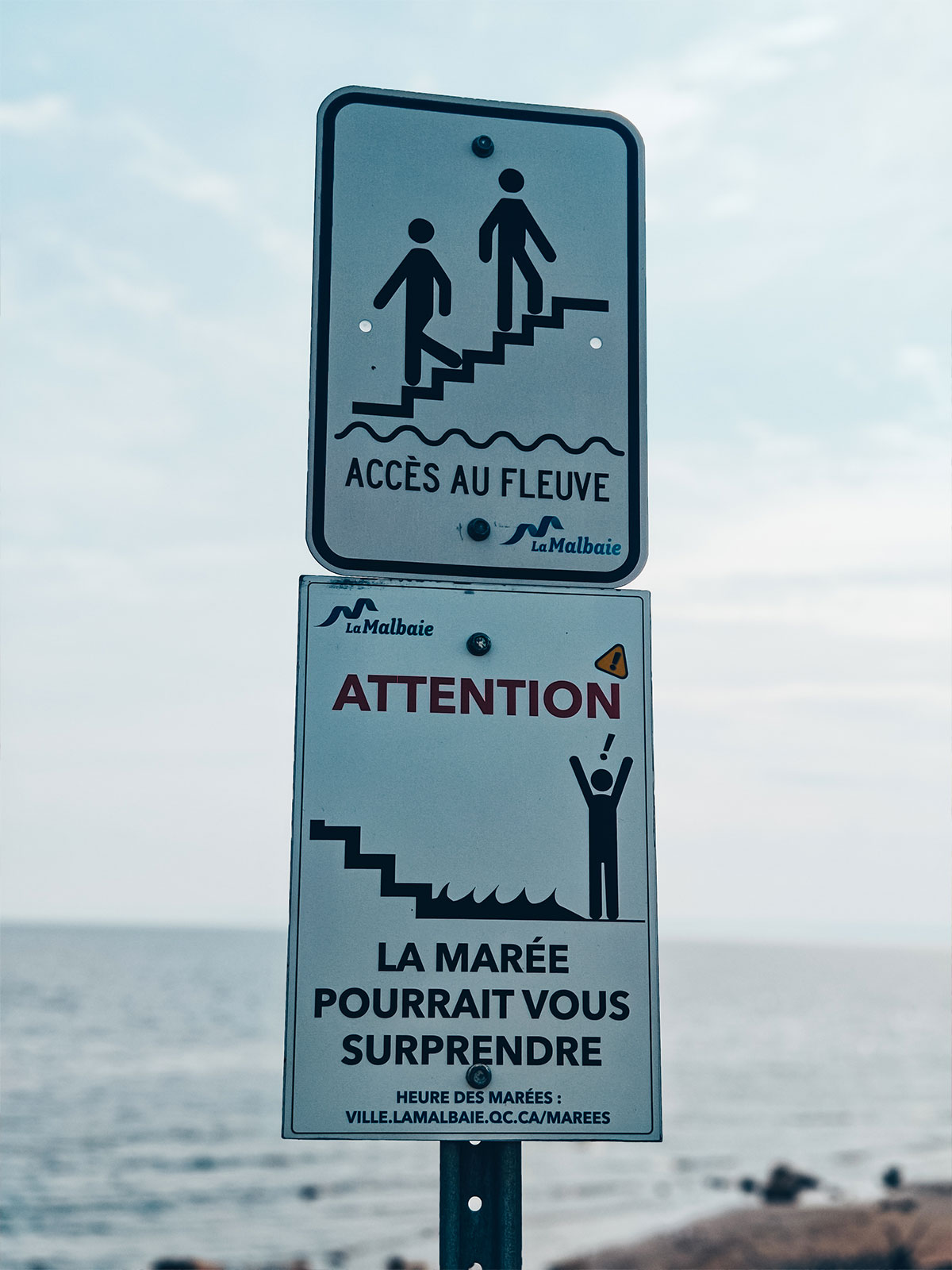
"The tide could take you by surprise" — the sign means it: the shore is uncovered and covered again twice a day.
We walk the shore while the car takes on charge.
9:45 a.m.
Arrival at the La Malbaie charger.
1st charge
35 minat 218 kW — from 19% to 80%.
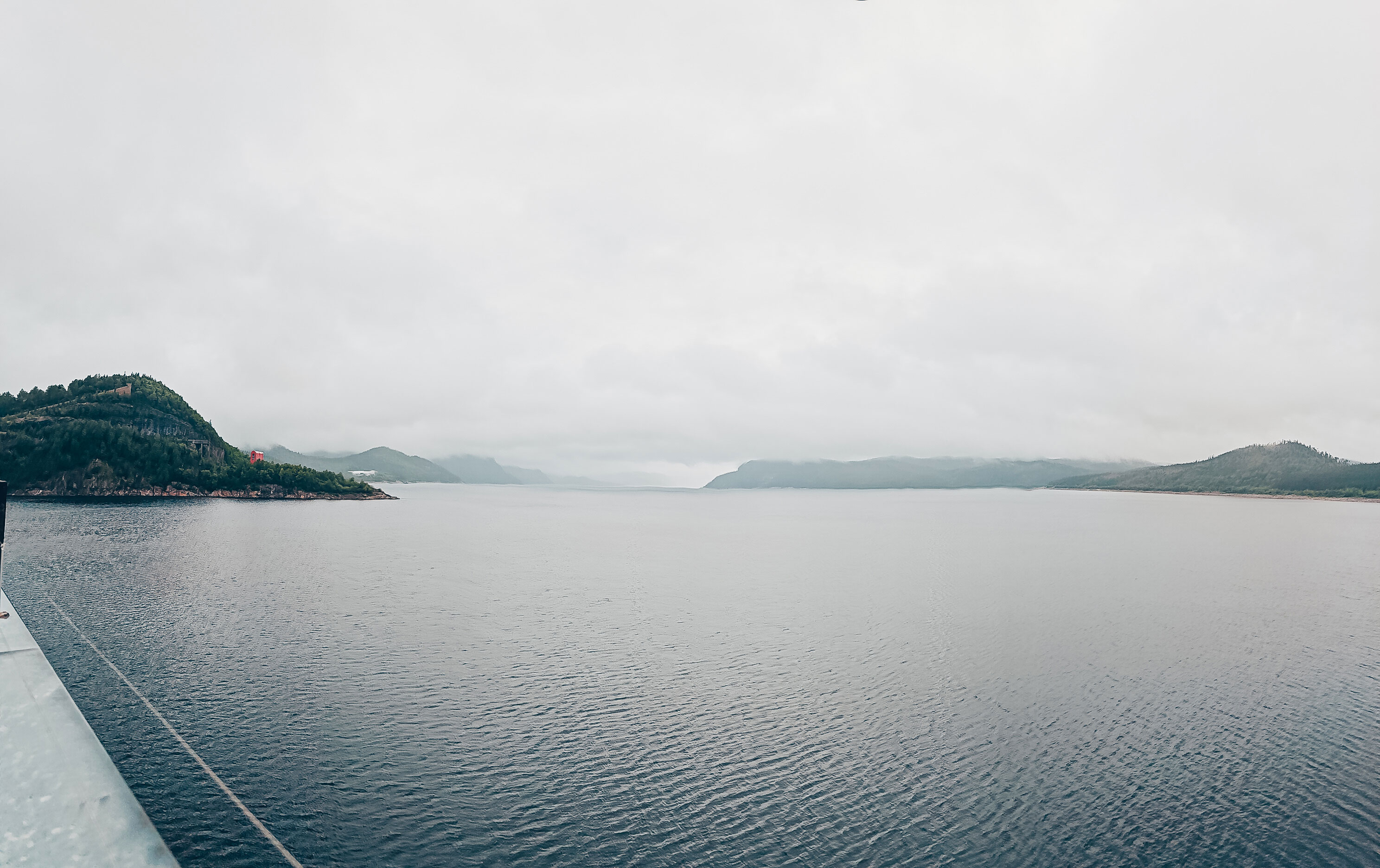
The river already looks more like the sea than a river.
The ferry
Baie-Sainte-Catherine → Tadoussac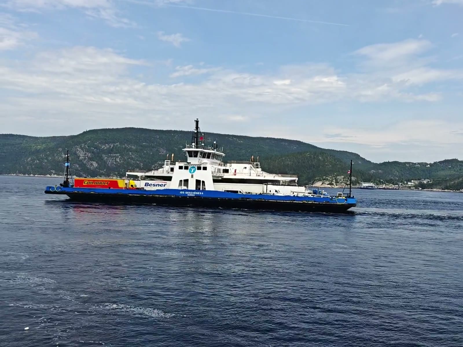
▶ The crossing, on video
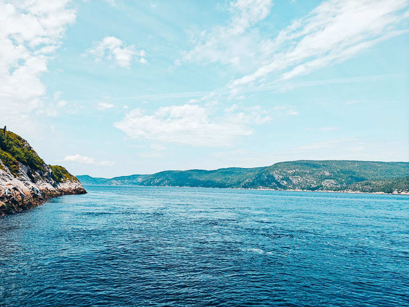
We watch for a spout.
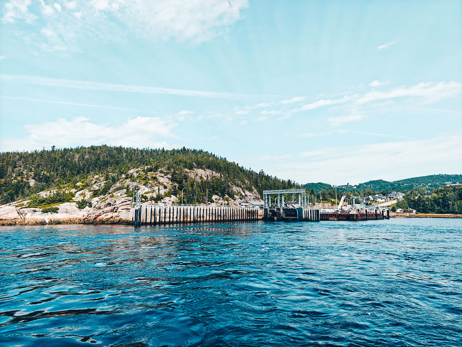
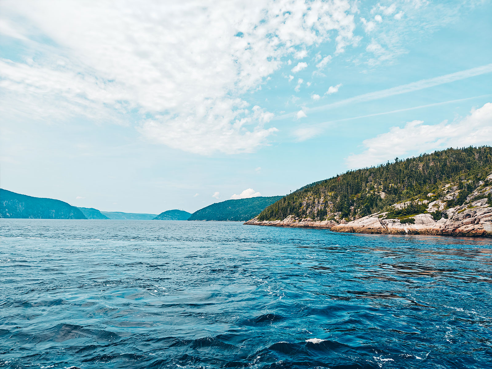
The vessel
Jos-Deschênes II
Name read off the hull · registered in Québec City
"On every crossing, you always hope to catch sight of a whale's spout." A few minutes later we were up on deck, eyes fixed on the horizon.
Watching for it
The spout gives the whale away before you ever see it.
Les Escoumins
Low tide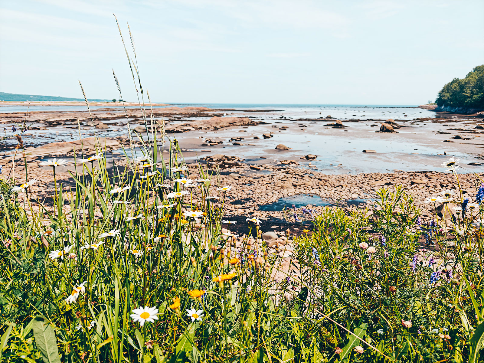
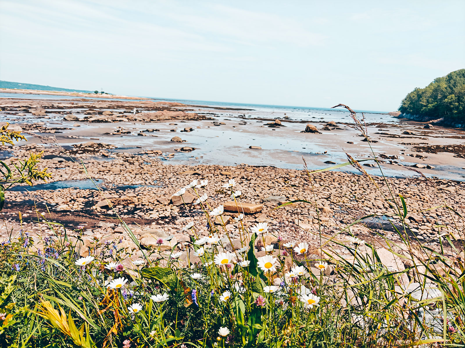
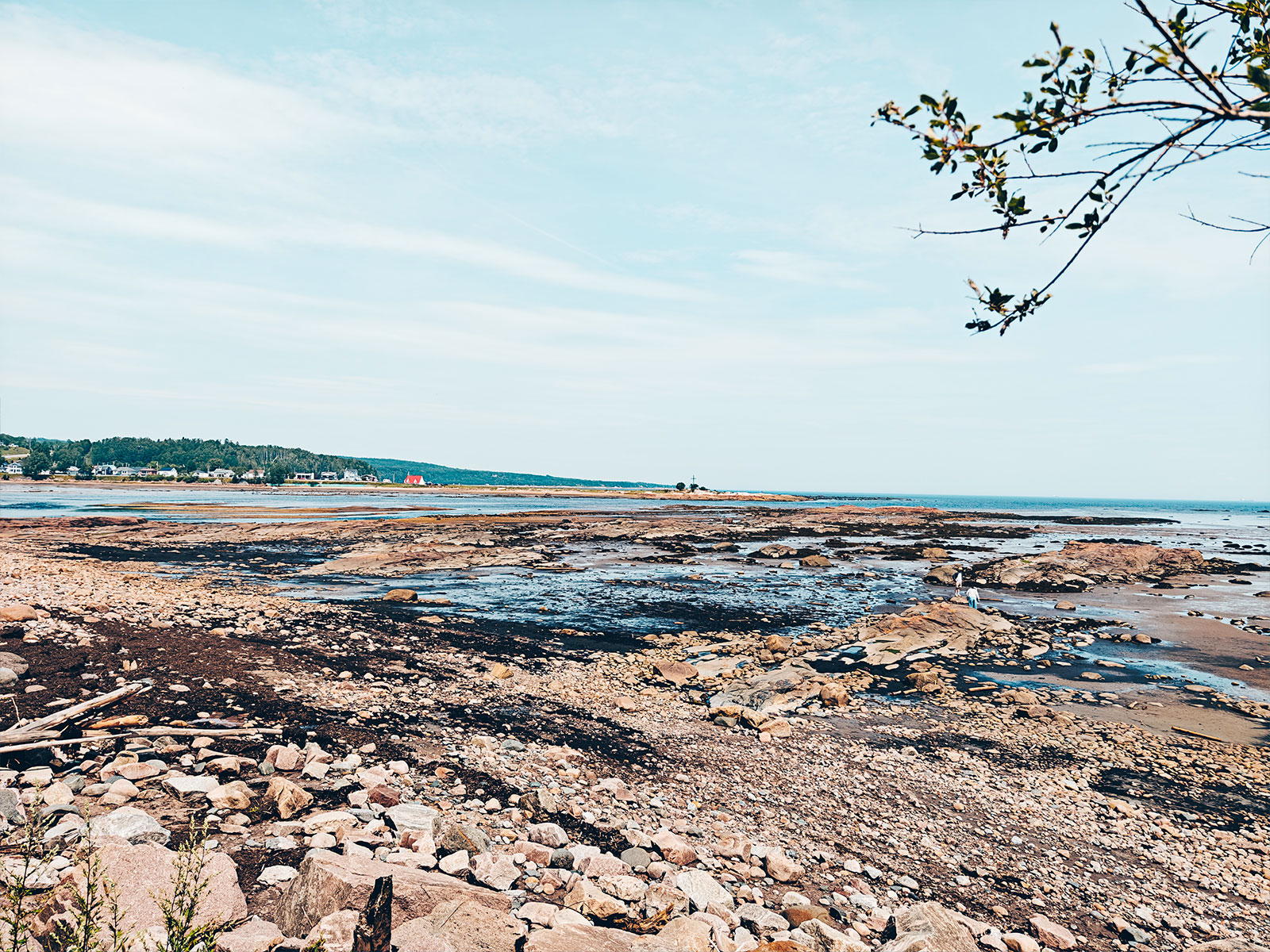
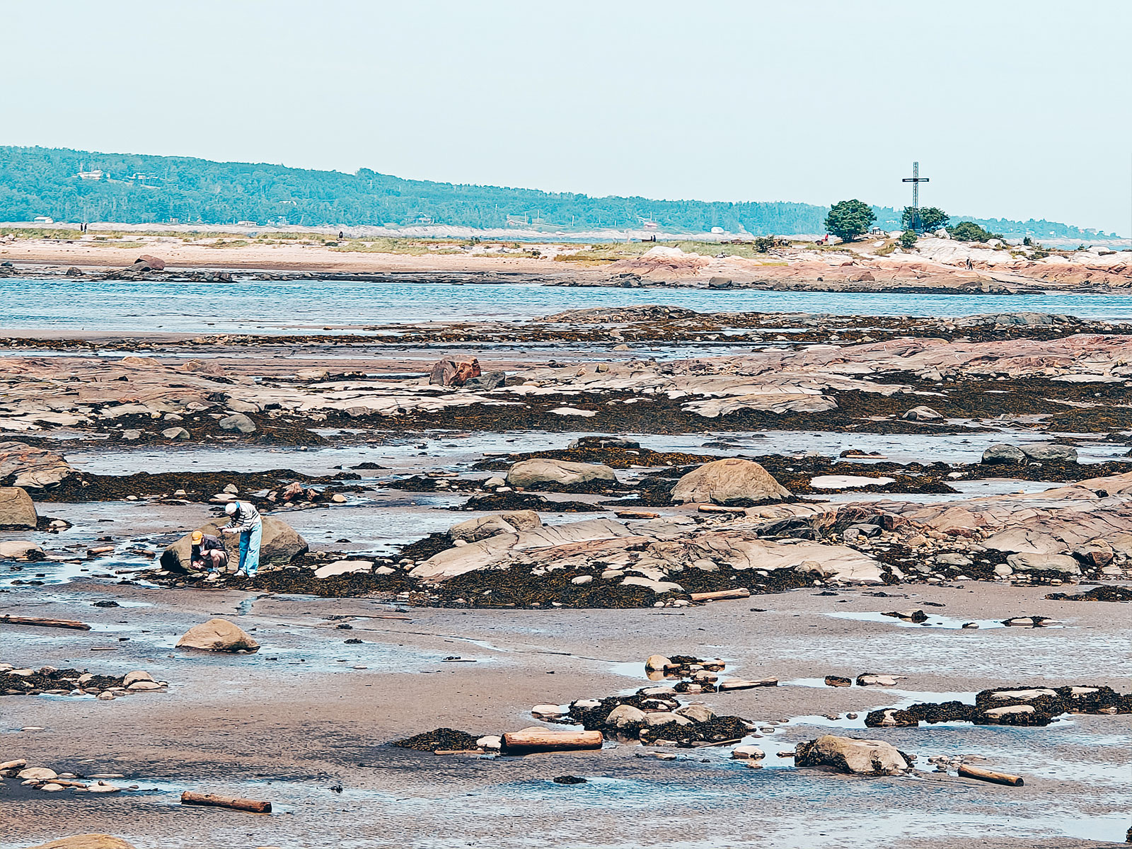
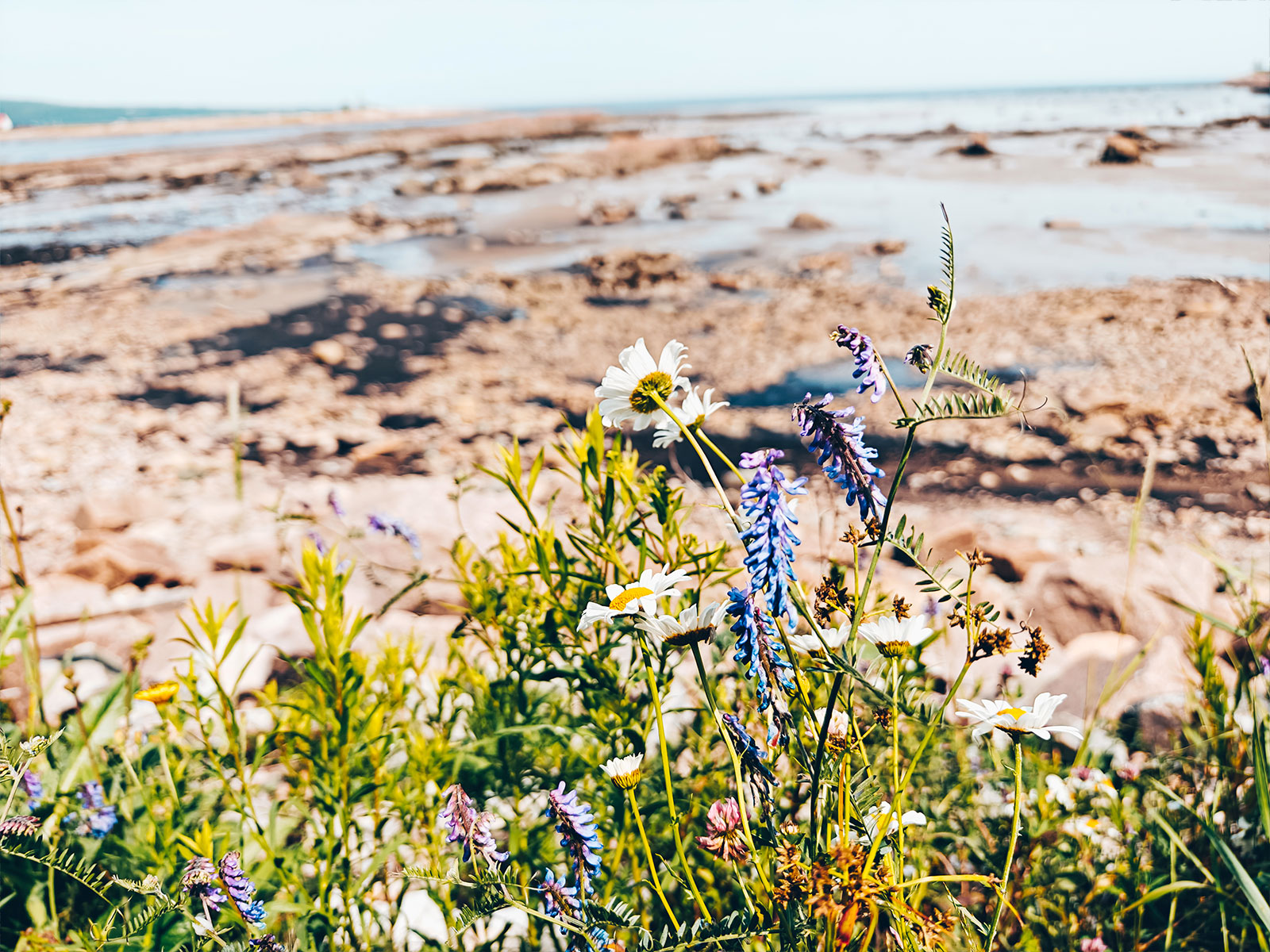
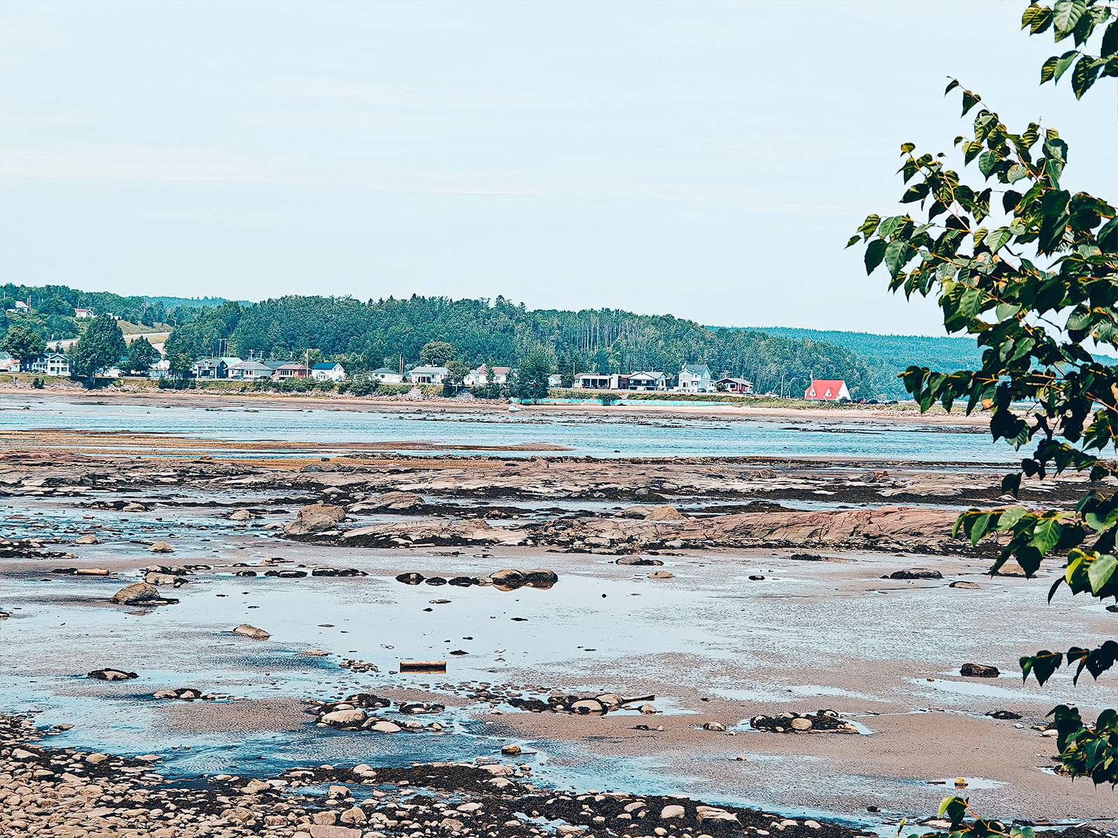
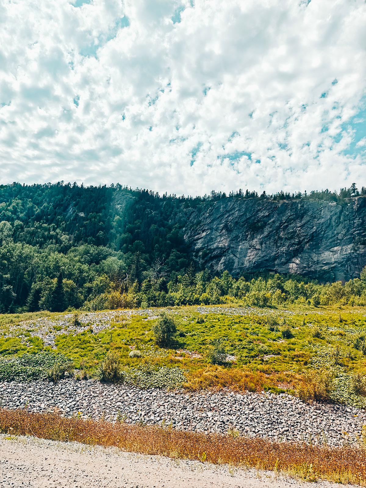
"The river was breathing quietly."
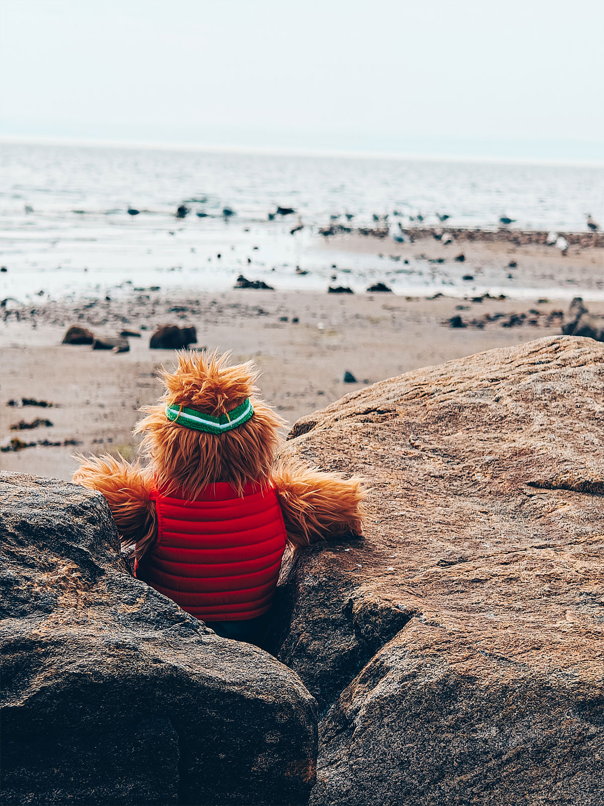
At low tide the flats are uncovered for hundreds of metres: you walk where, six hours earlier, the river was.
On the shore
Pebbles polished by thousands of years of tides.
At low tide the flats are uncovered for hundreds of metres.
The river was breathing quietly.
Longue-Rive
Salt marshes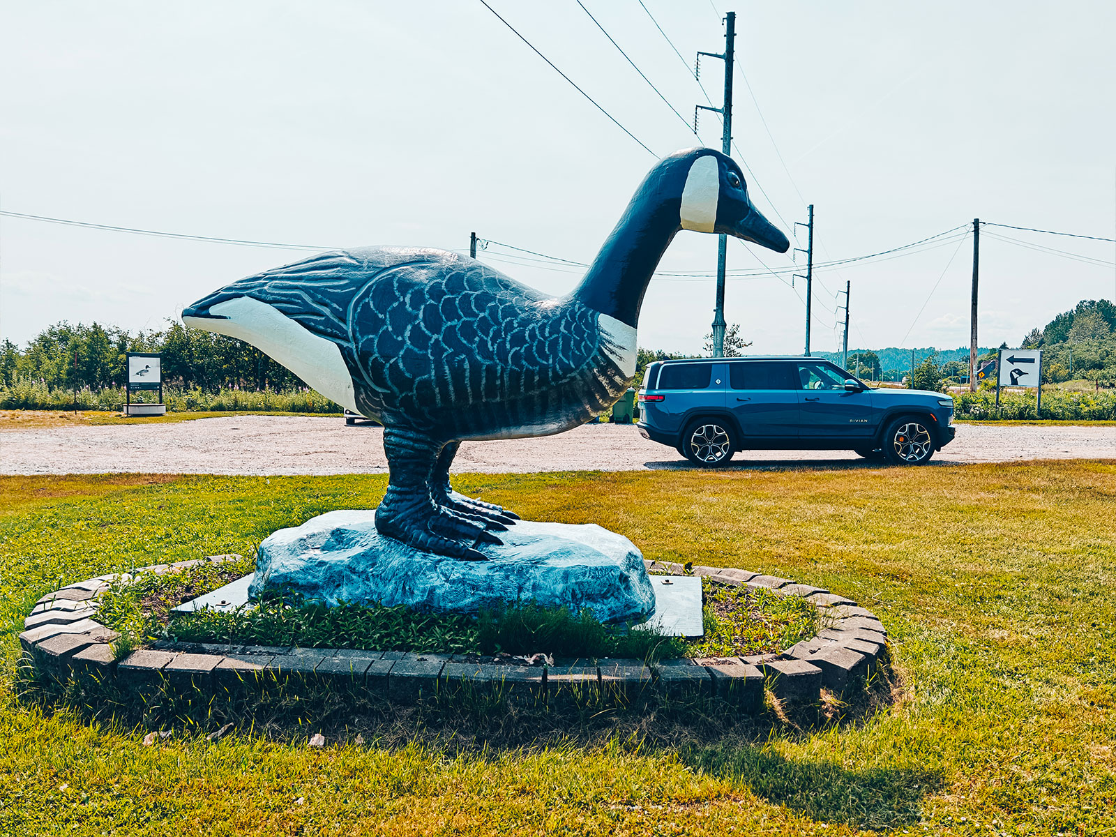
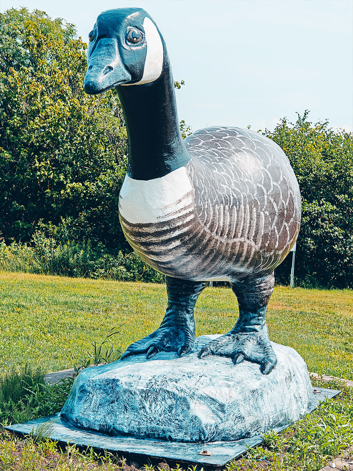
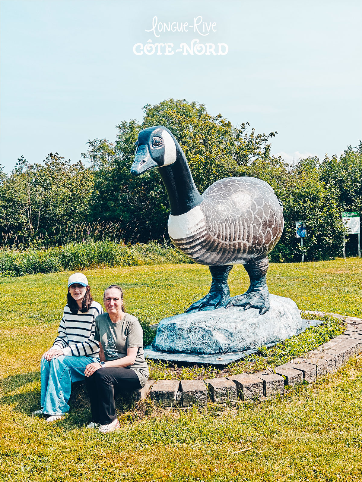
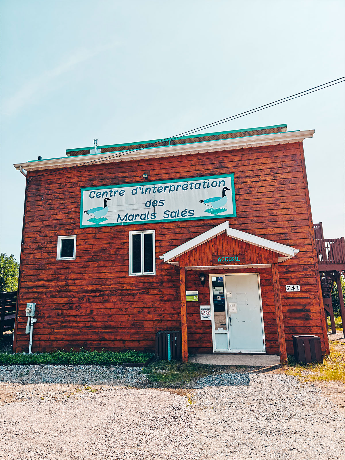
Salt marshes
741, route 138
Wooden boardwalks
Bird watching
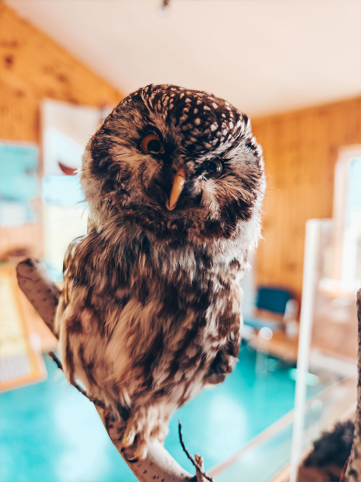
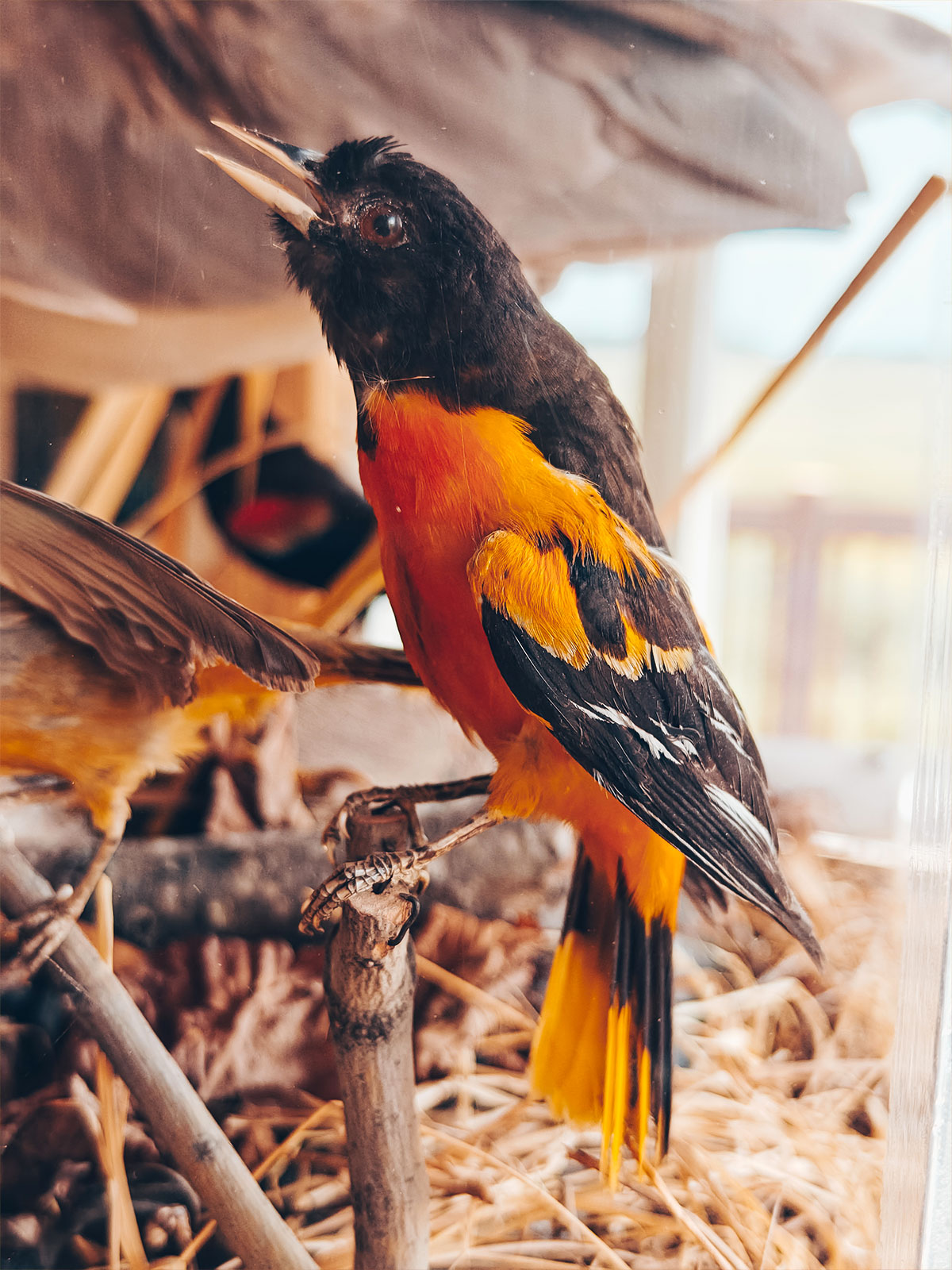
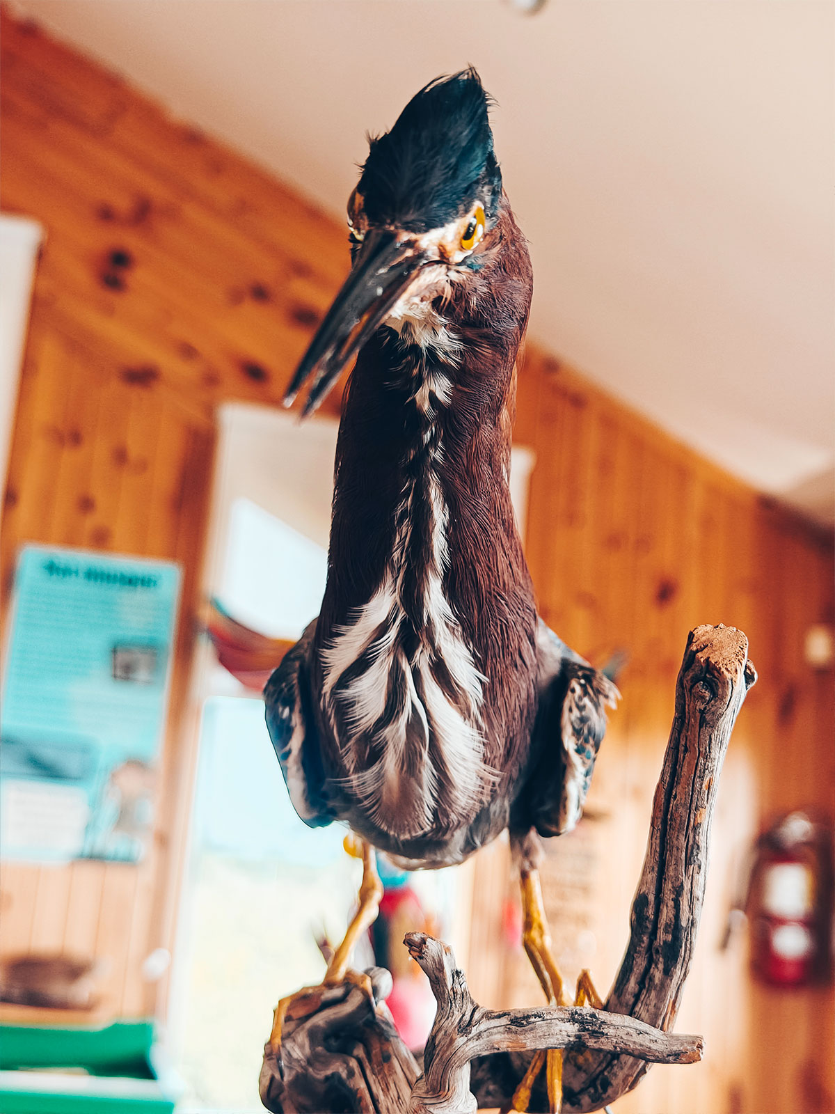
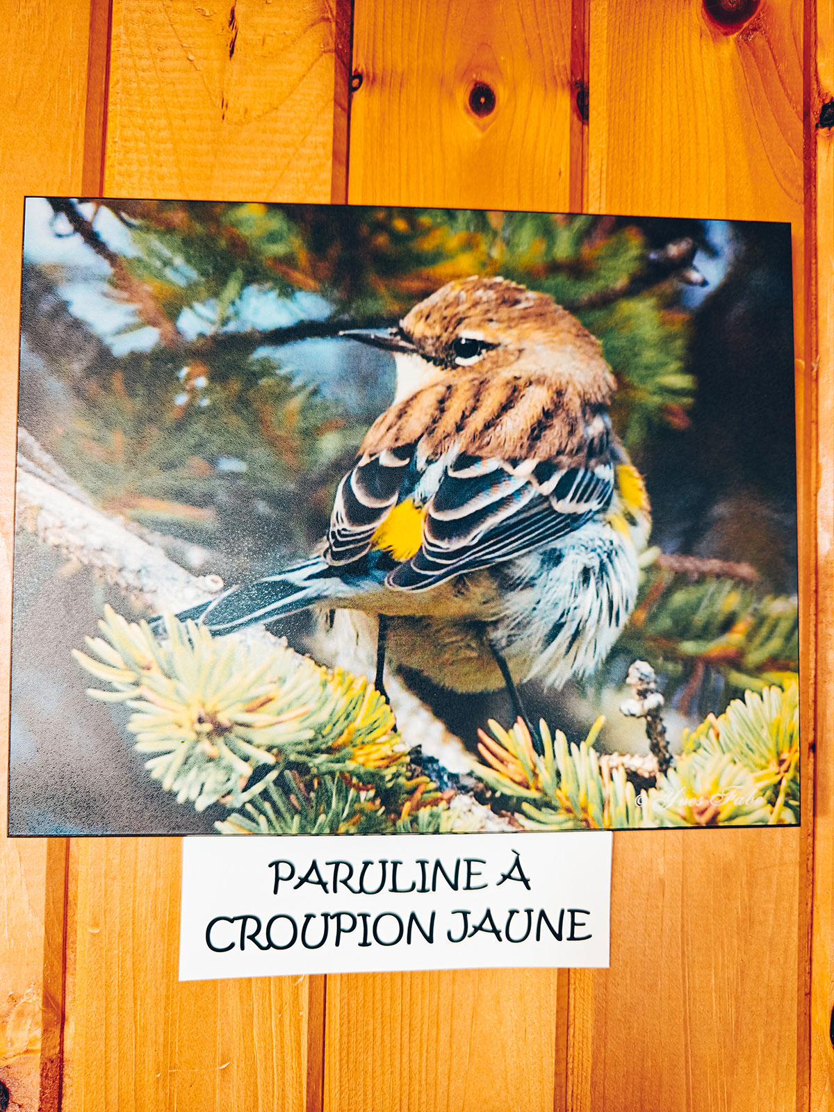
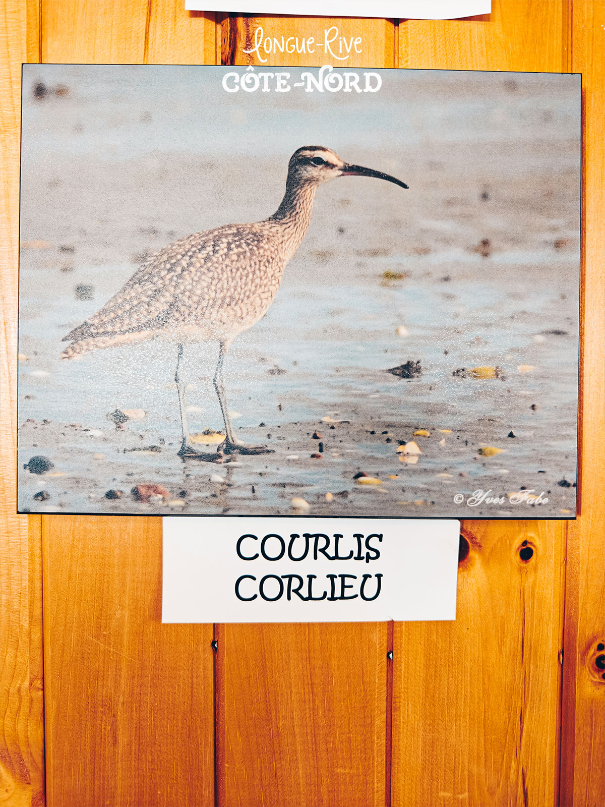
"The marshes live to the rhythm of the river."
Salt marshes
249 haof salt marsh — the second largest on the north shore of the St. Lawrence, and one of its best places to watch migrating shorebirds.
Wooden boardwalks, and time to watch.
741, route 138
The salt-marsh interpretation centre.
Longue-Rive
249 haof salt marsh along the river.
The marshes change face with the hours and the tides.
Ragueneau
The dinosaur wharf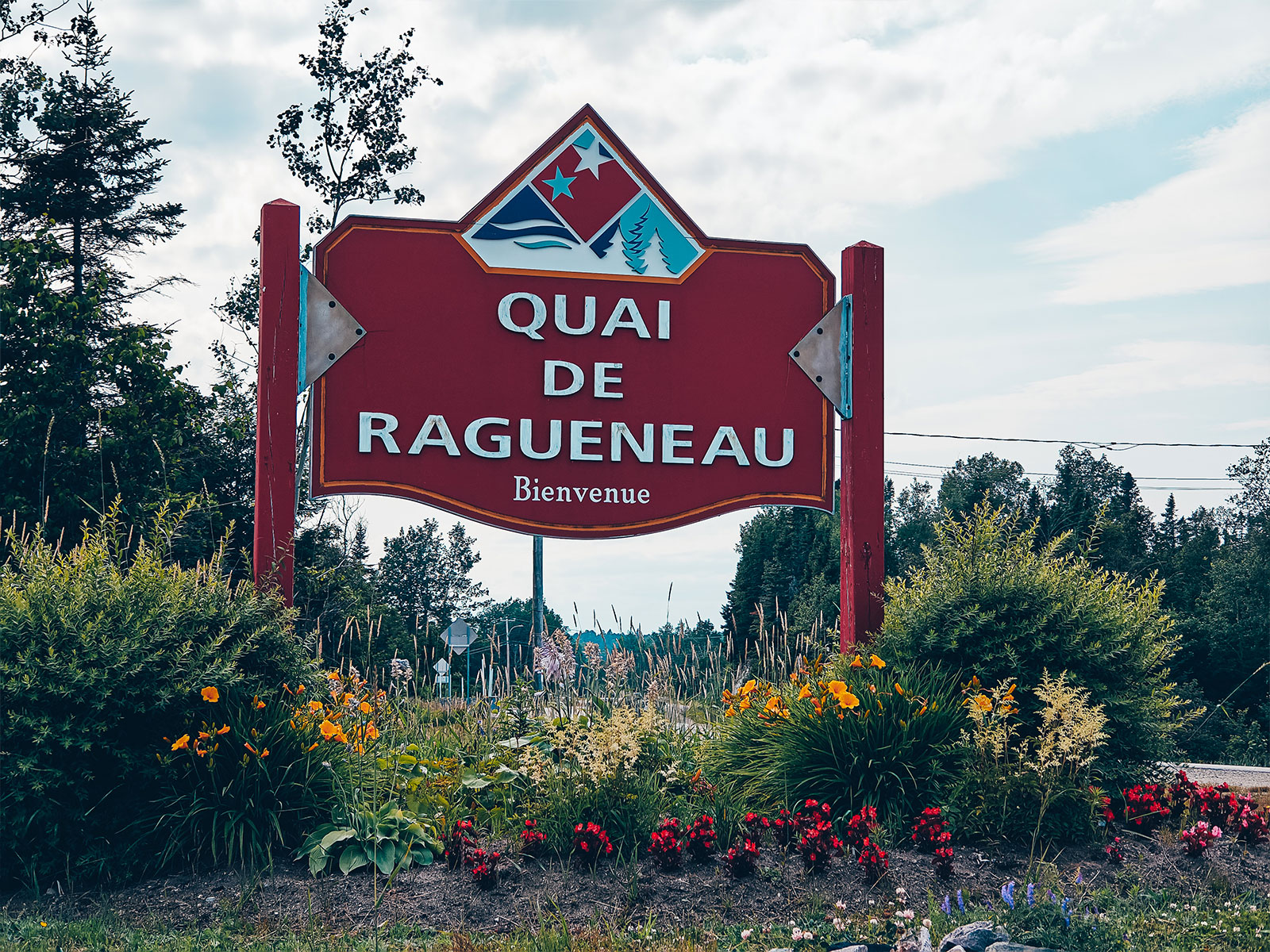
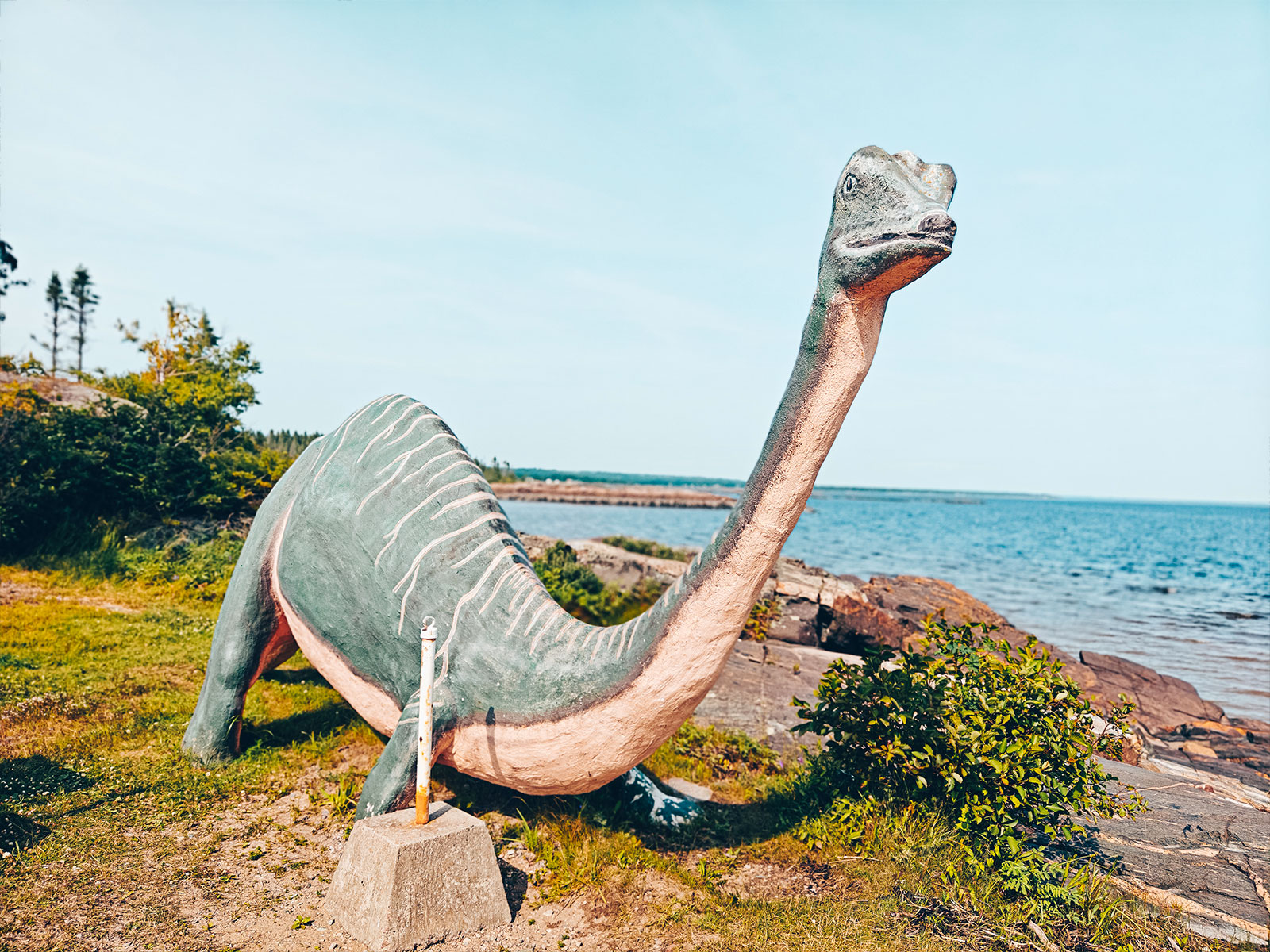
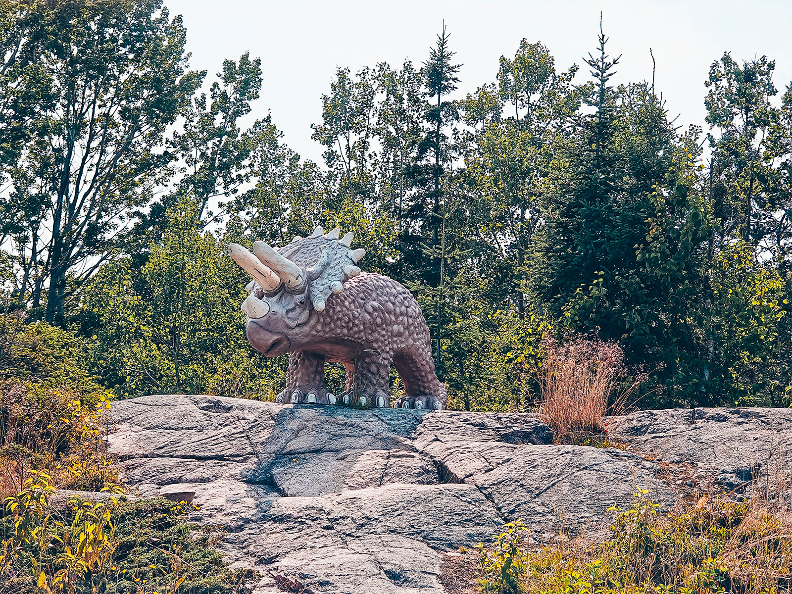
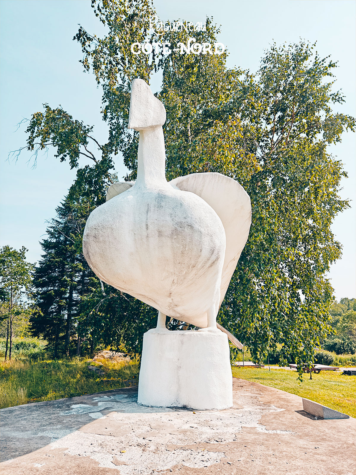
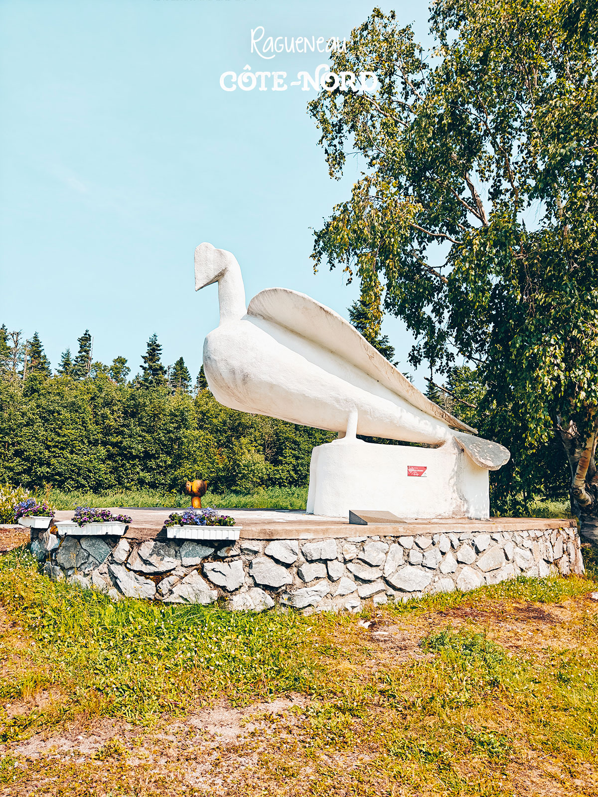
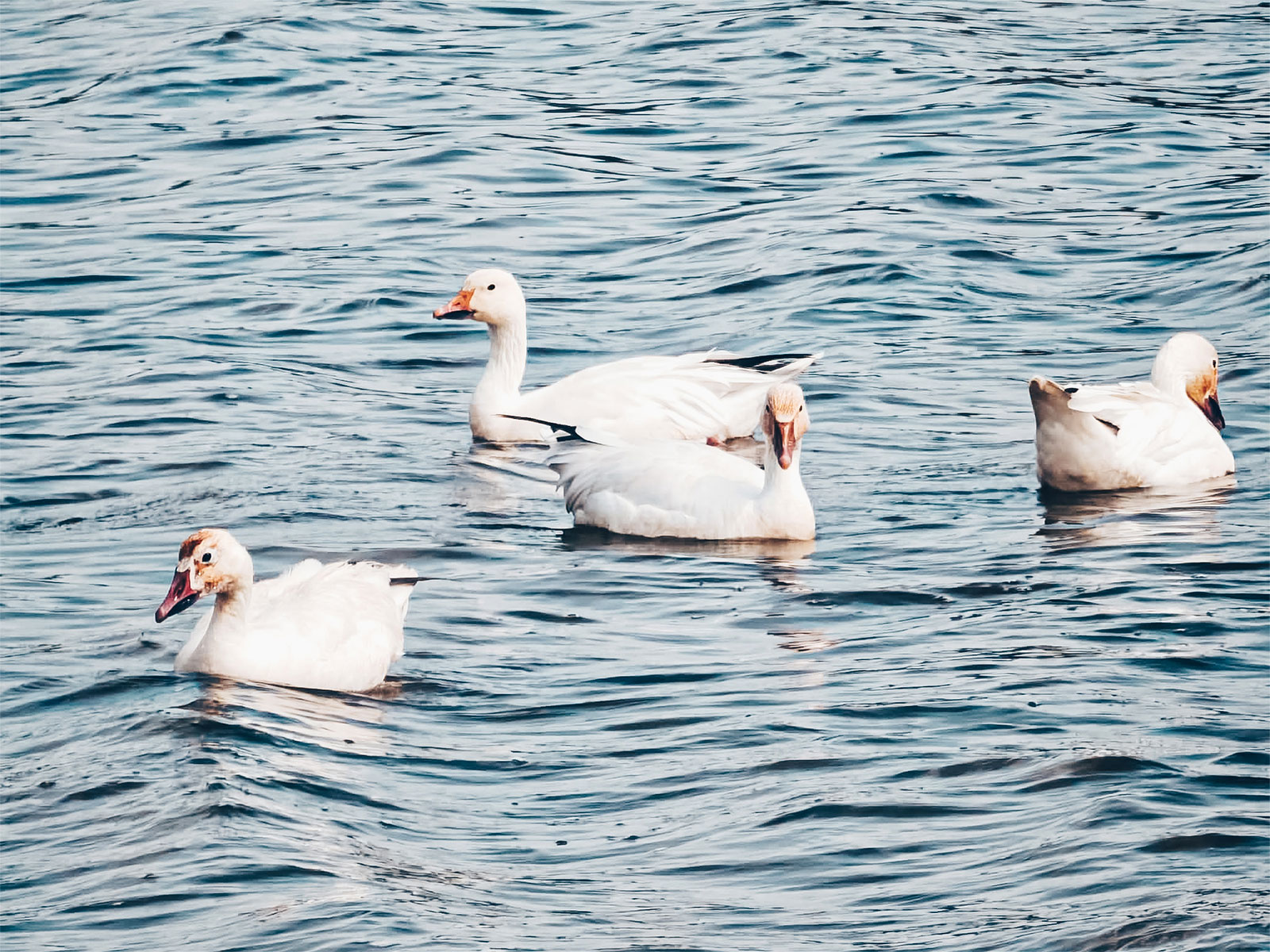
"The snow geese own the tidal flats."
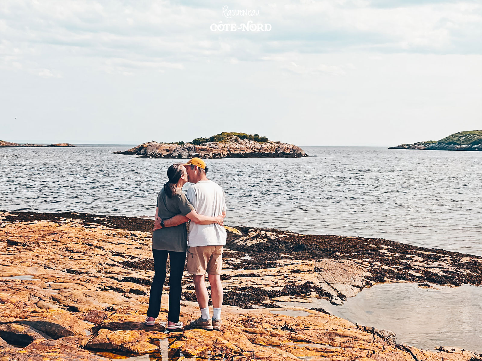
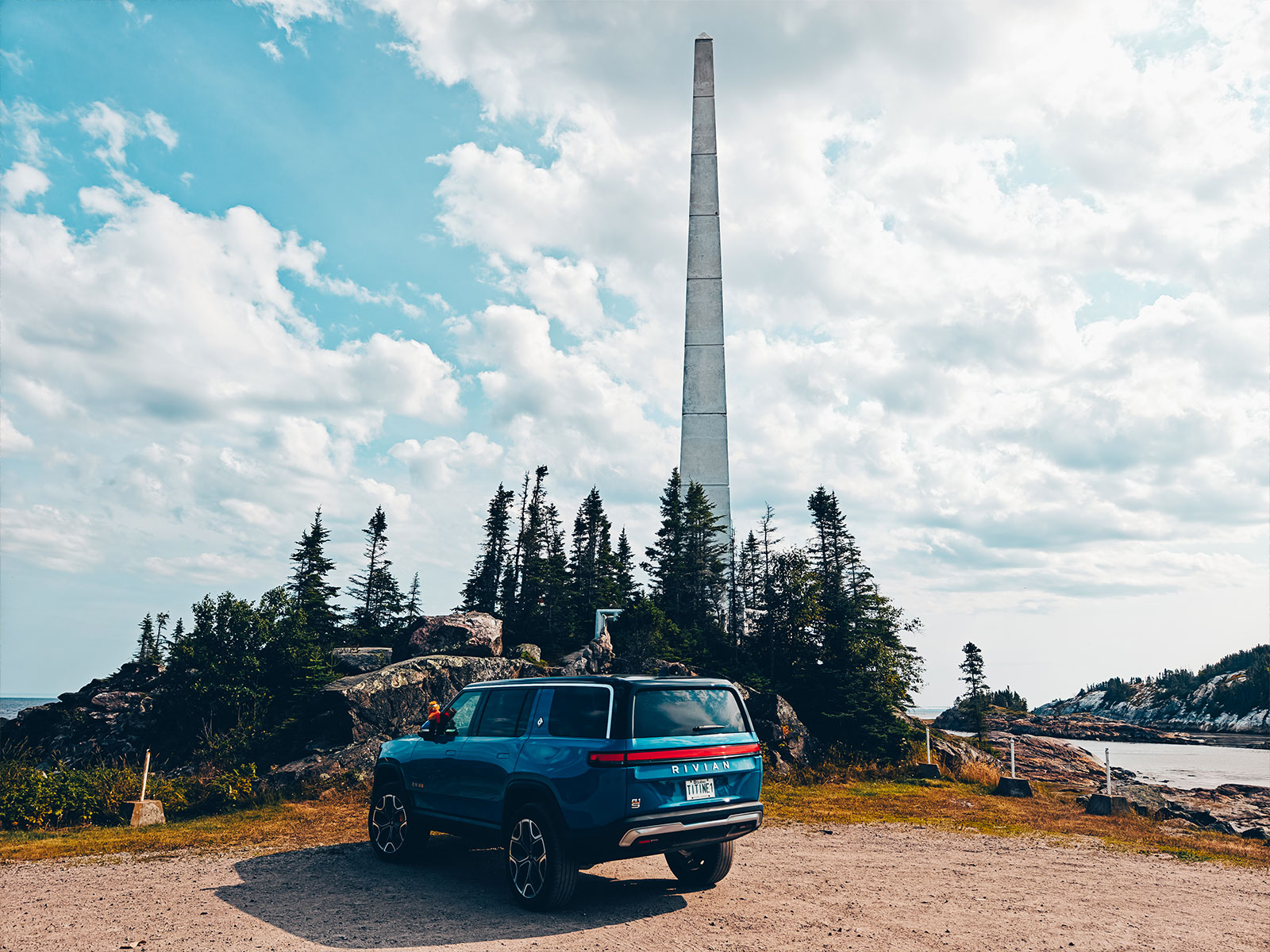
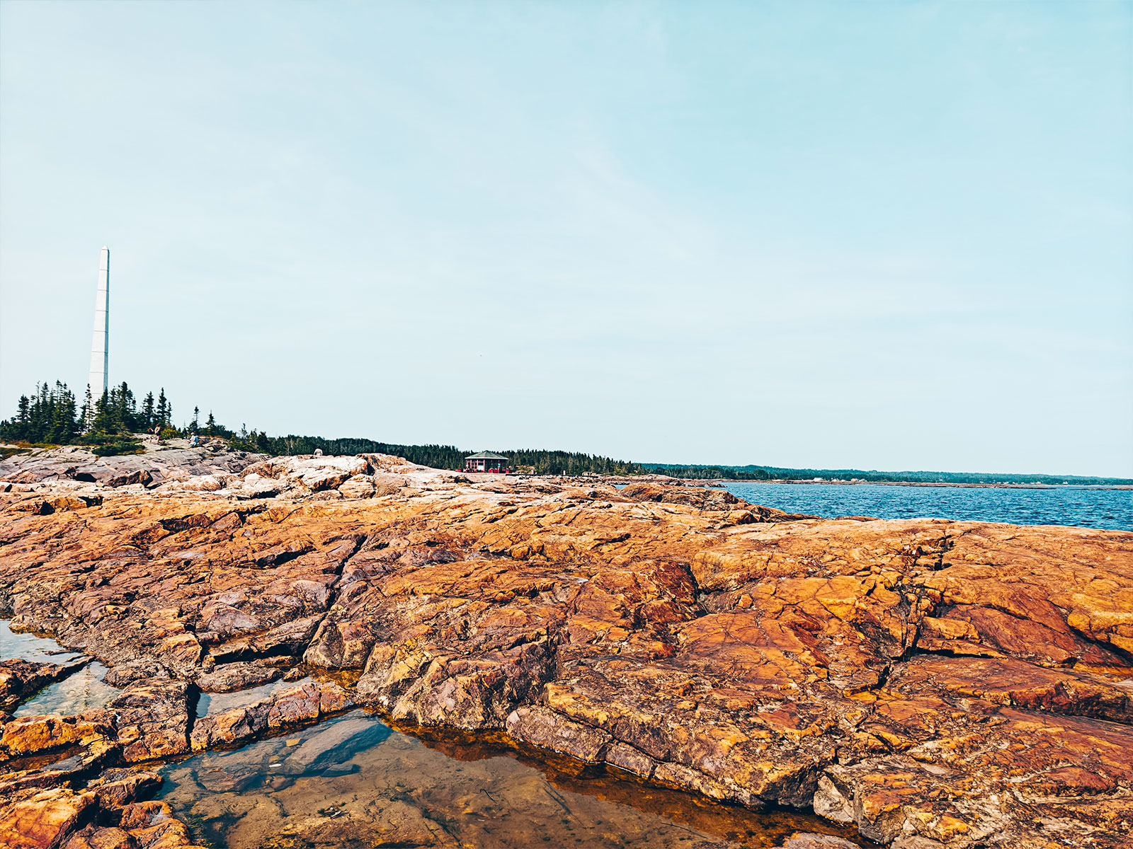
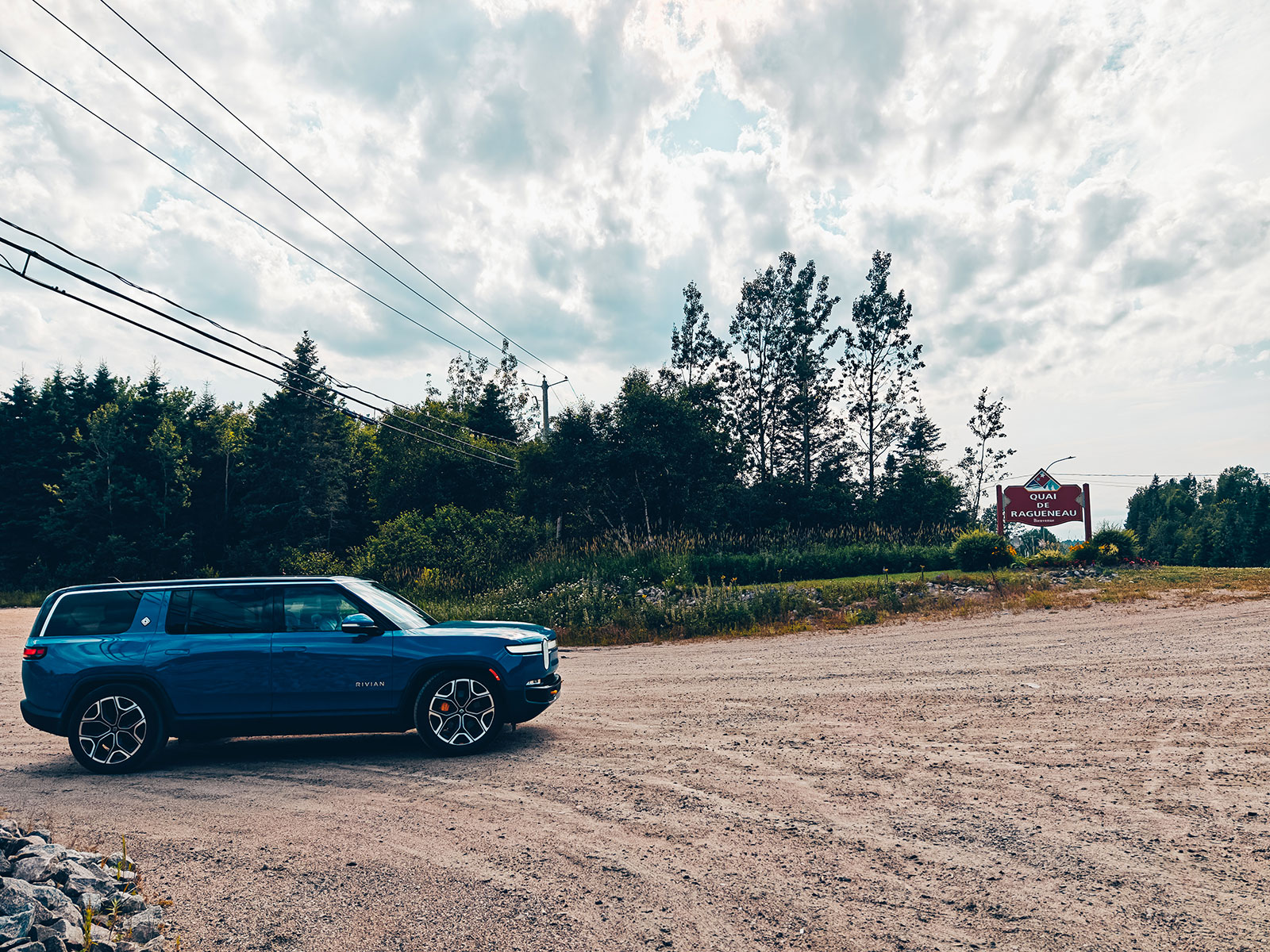
Its wharf reaches far out into the St. Lawrence, as if it meant to touch the horizon. Right at the end, the wind is everywhere.
"Ahead of us there was nothing but the river. Immense. Silent. Endless."
On the wharf
The dinosaur sculptures still take visitors by surprise.
The wharf reaches far out into the St. Lawrence.
Right at the end of the wharf, the wind never stops.
dinosaurs?!
On a Côte-Nord wharf, yes.
"Ahead of us,
there was only the river"
Immense. Silent. Endless.
Baie-Comeau
2nd charge · 6:35 p.m.
Circuit électrique
Baie-Comeau, Québec
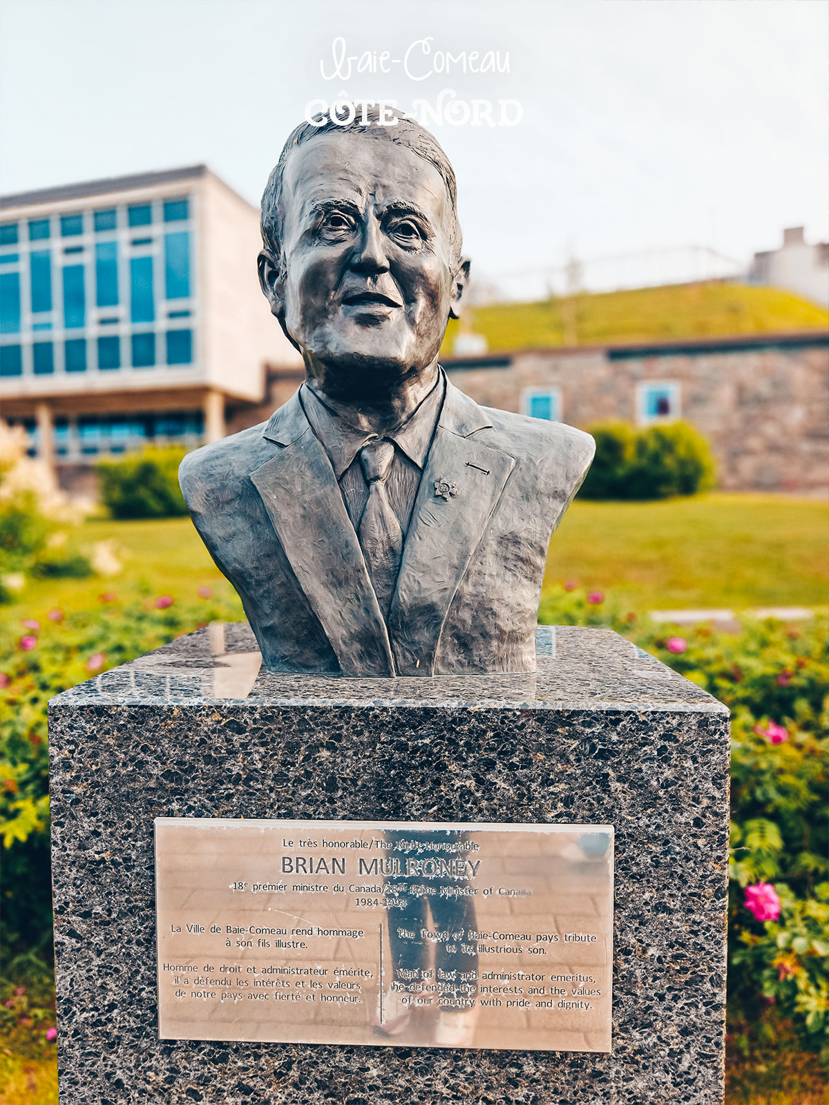
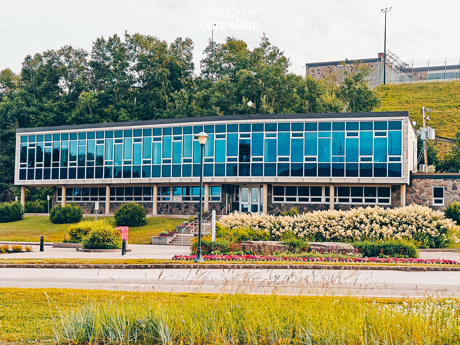
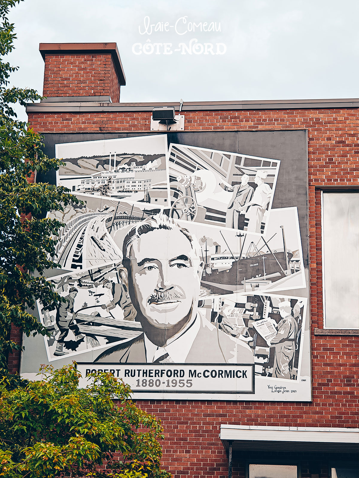
A town born of industry but turned toward nature: broad tree-lined avenues, neighbourhoods built in the middle of the forest.
The last town before Route 389Charging
4charging stops over the whole trip.
The last town before the 200 km of Route 389.
6:35 p.m.
Charging at Baie-Comeau.
2nd charge
38 minat 173 kW — from 20% to 80%.
Baie-Comeau
100 kmof range left on arrival at the charger.
Wide tree-lined avenues, neighbourhoods set down in the forest.
"The town refuses to choose"
Between development and nature.
Last fast charge before the 200 km of Route 389.
Route 389
Baie-Comeau → Manic-5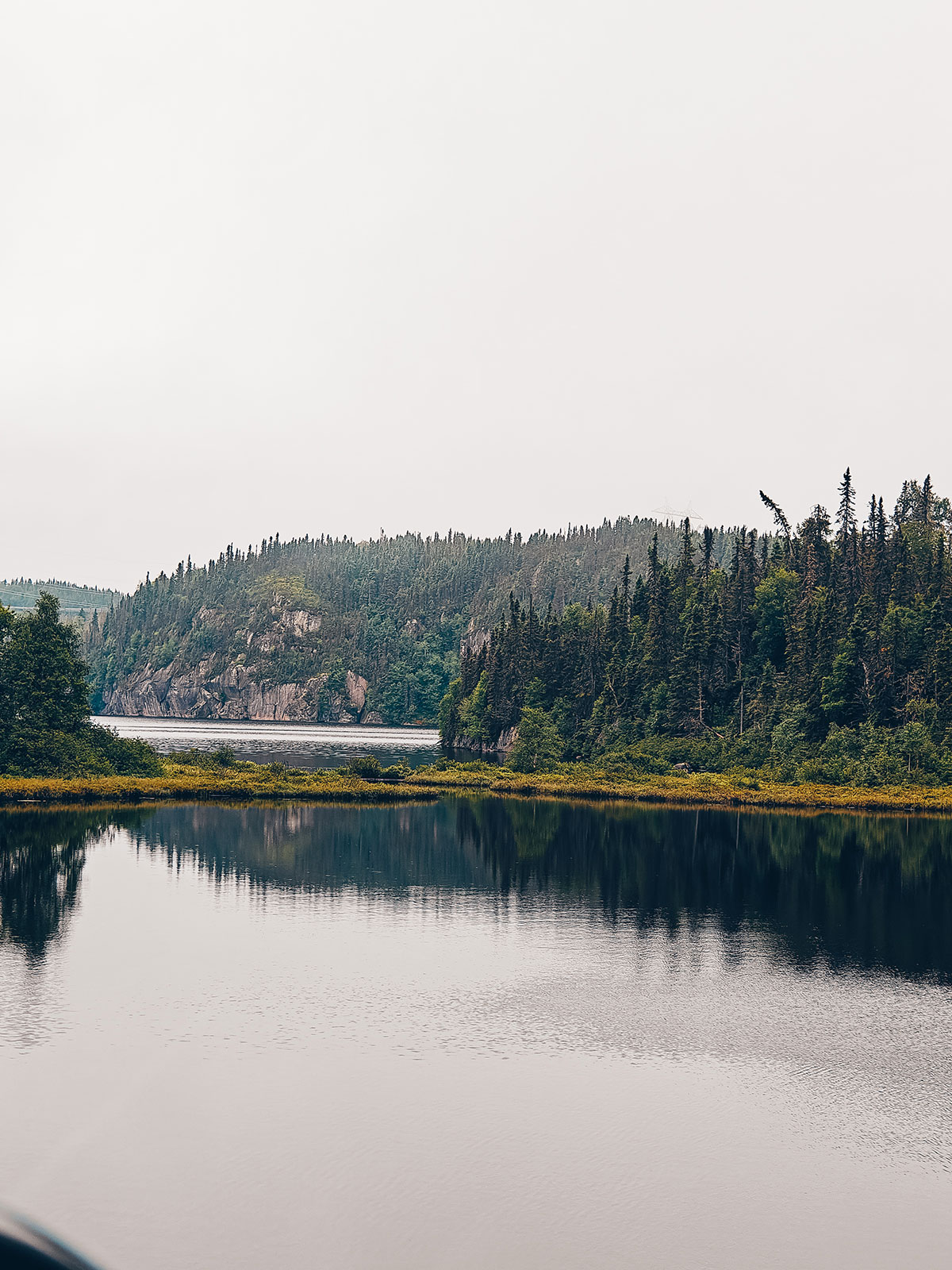
On the 389
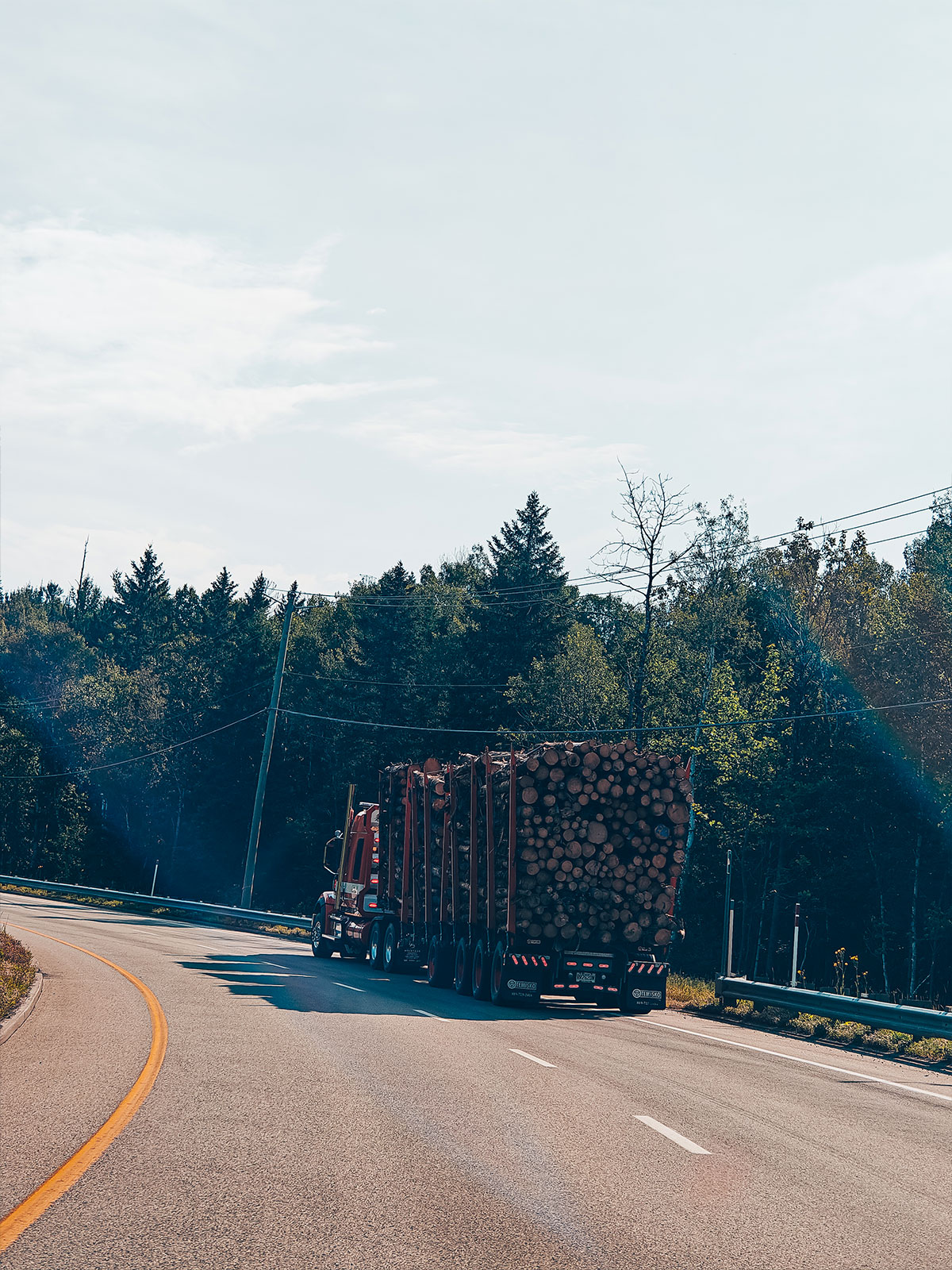
Wildlife, logging trucks and patchy cell service.
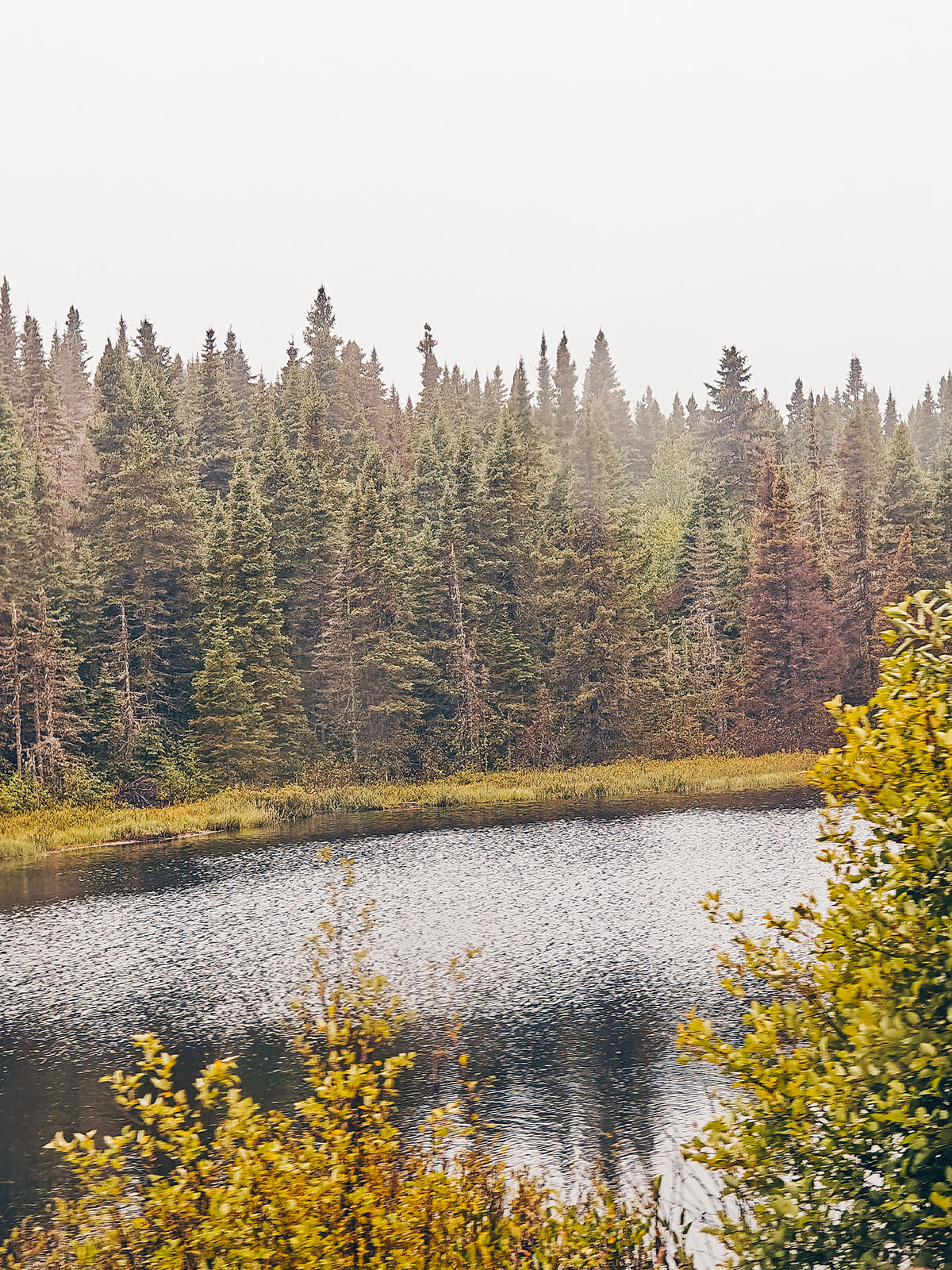
Road
Baie-Comeau → Manic-5
≈ 200 km · 3 hrs
Patchy signal, often none at all
Very few service stations
≈ 3 hrs
Baie-Comeau → Manic-5.
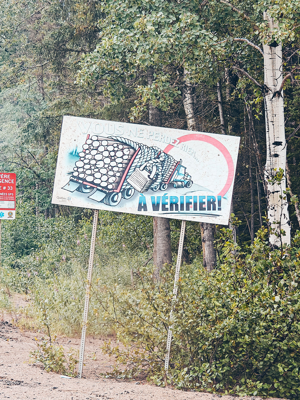
Fill up on electrons before setting off: past Baie-Comeau there is nothing for 200 km.
One by one, the villages disappear.
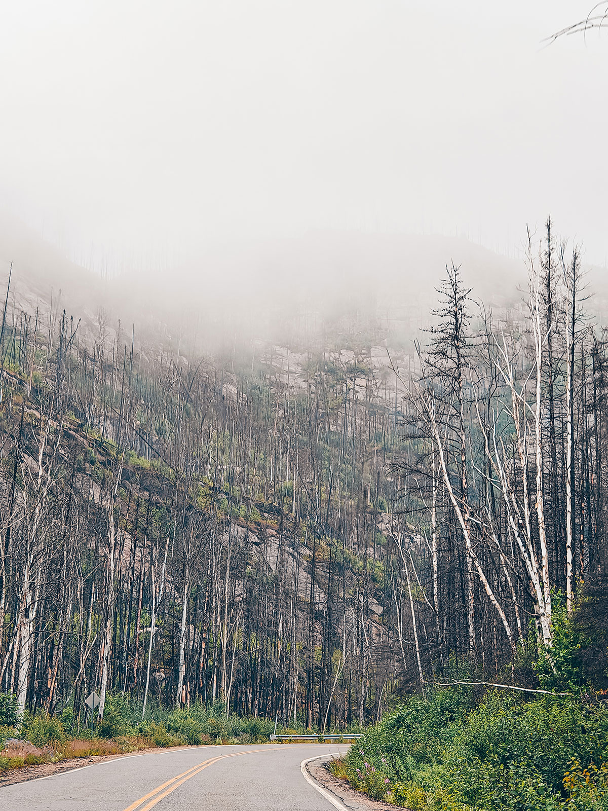
The forests turn endless, the lakes perfectly still.
A road that seems to cut Québec in two. Little by little the villages disappear. The forests turn endless. The lakes appear around the bends, perfectly still.
"You pass more trucks than cars."
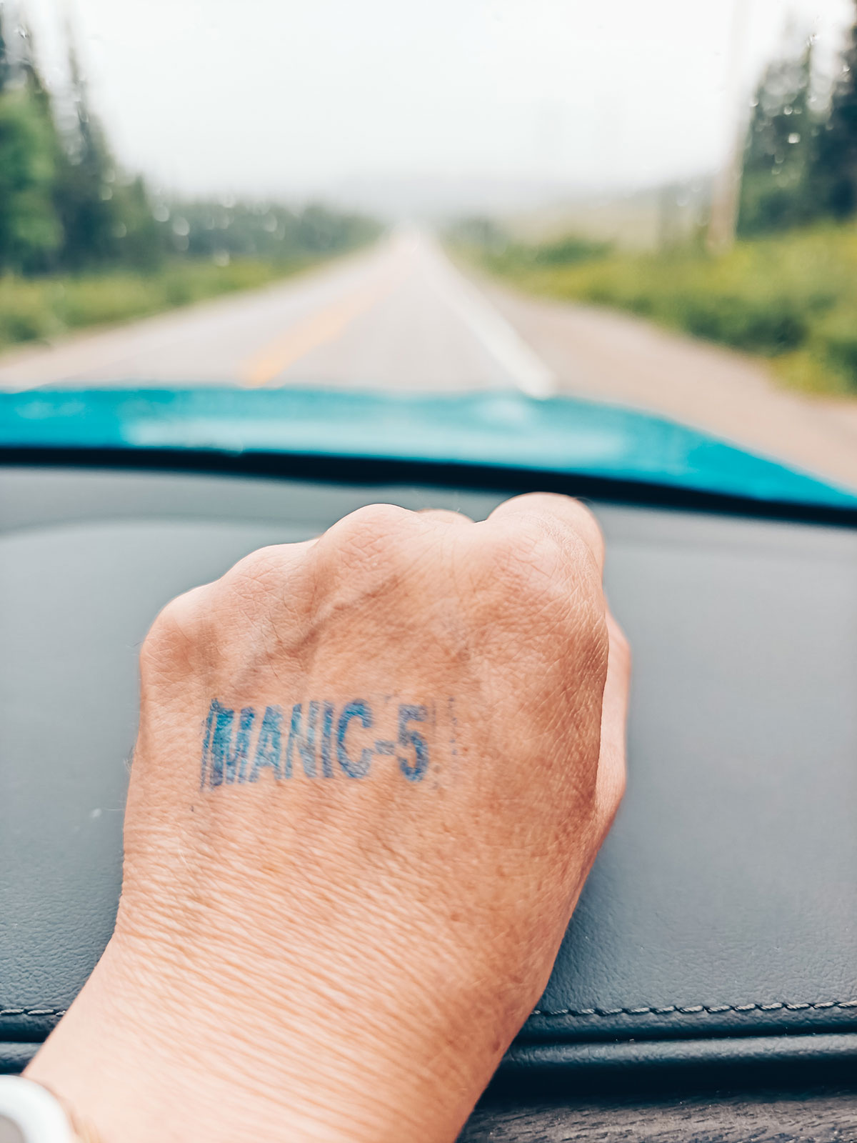
Manic-5
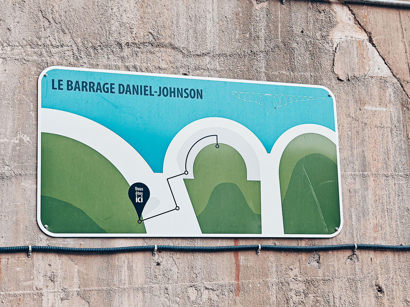
Daniel-Johnson dam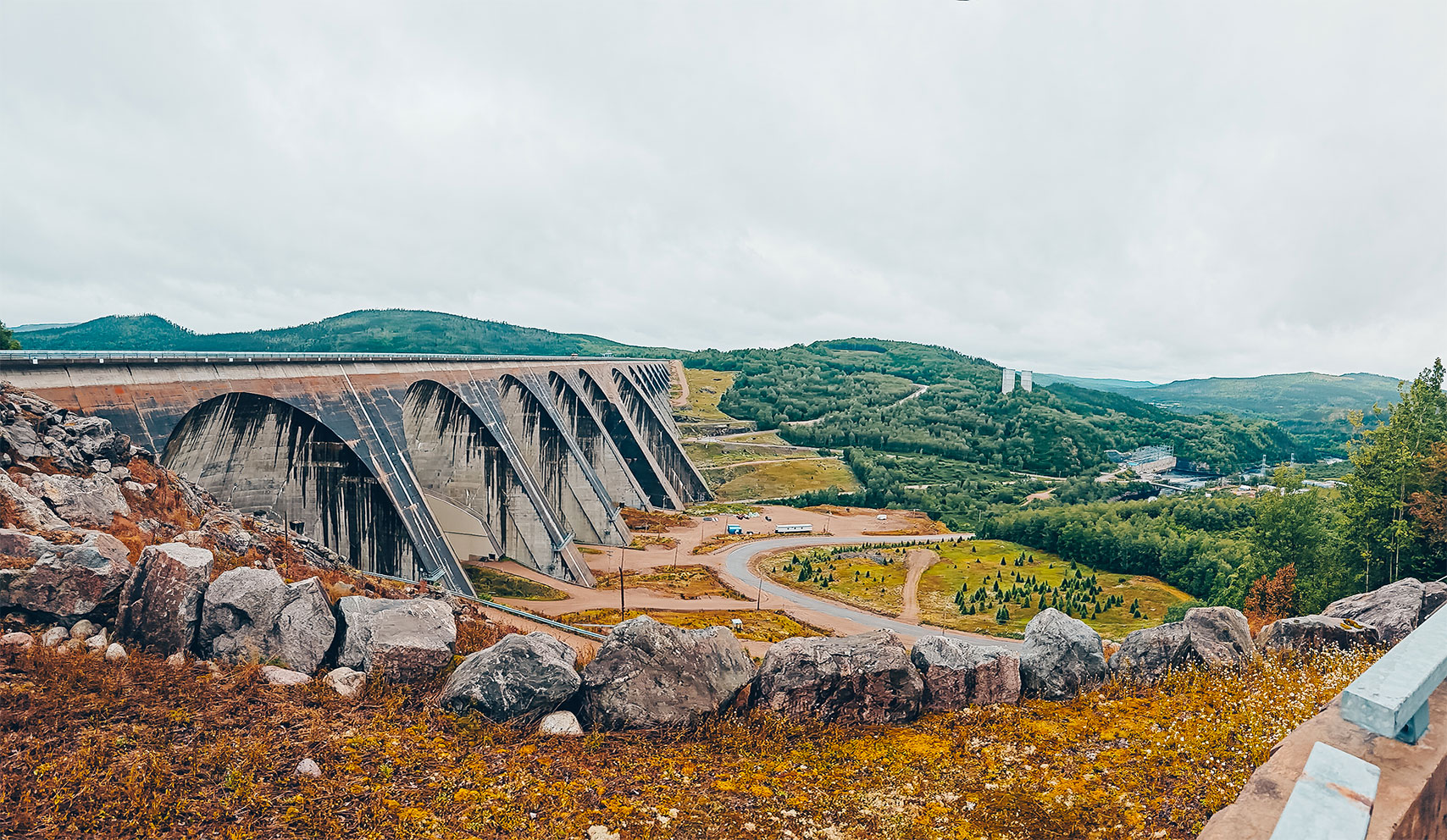
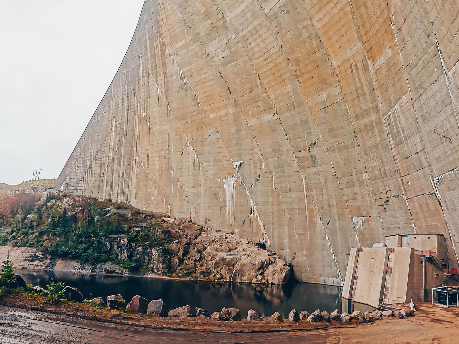
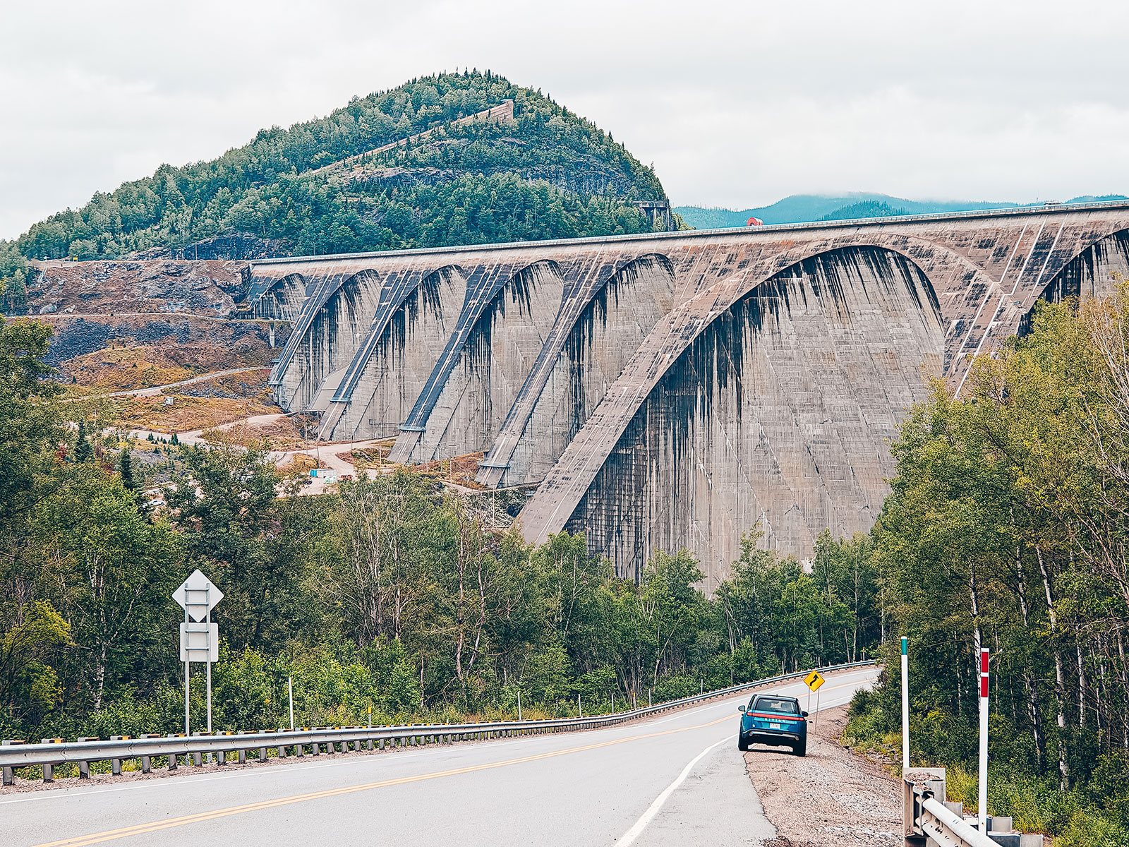
Nothing prepares you for it
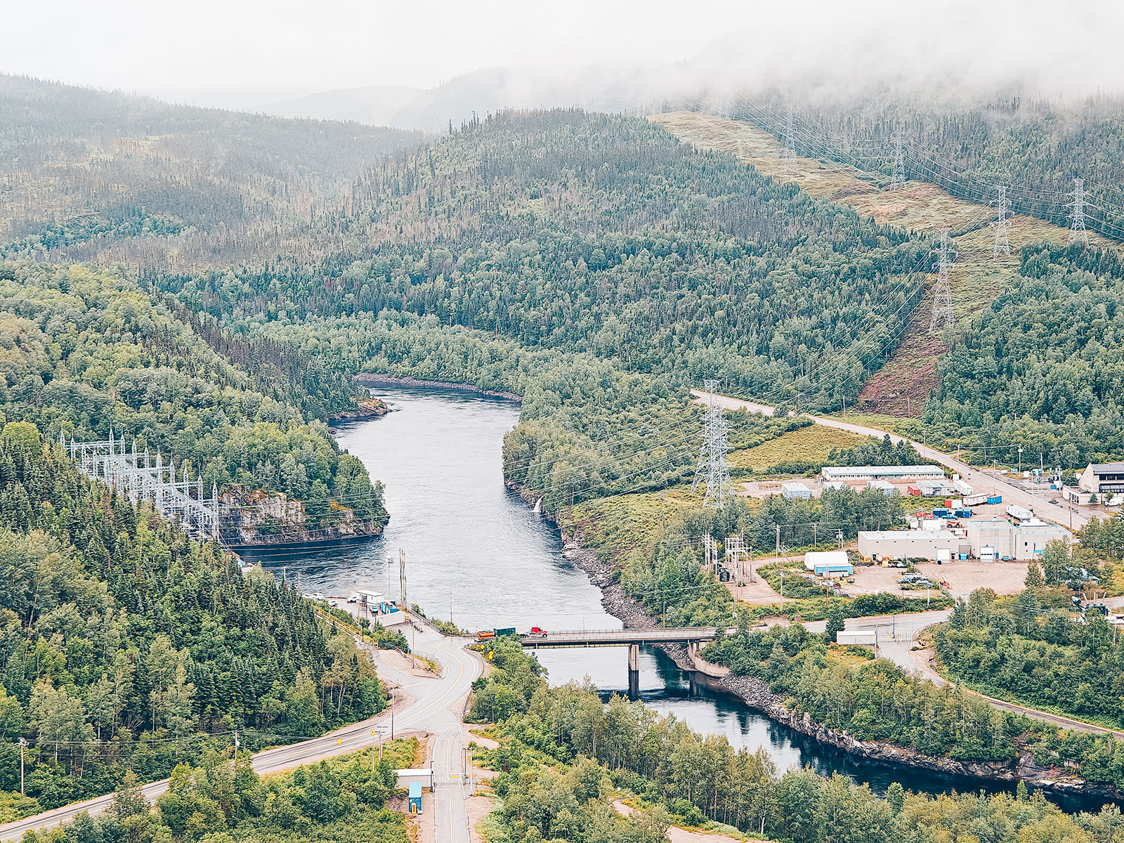
It rises in the middle of the valley like a cathedral of concrete. Immense. Almost unreal. Even photographs fail to convey its scale.
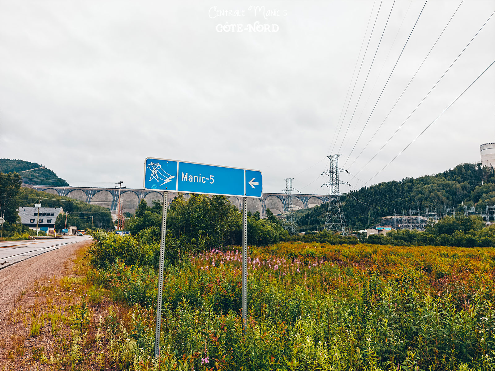
Height
214 metres
measured from the
foundation — about 50 m
of it below the surface
click!
Manic 5
Baie-Comeau, Québec
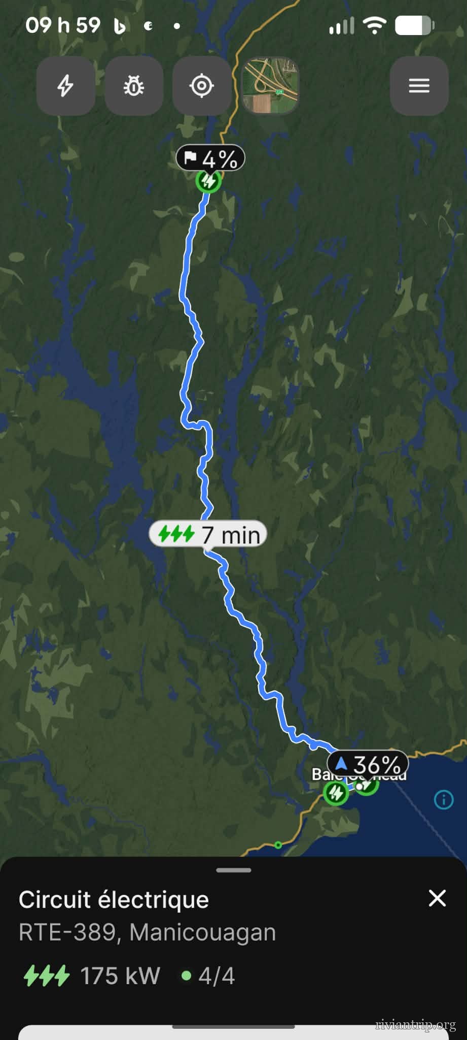
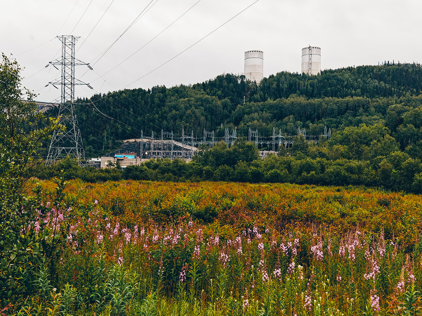
▶ Charging, under the pylons
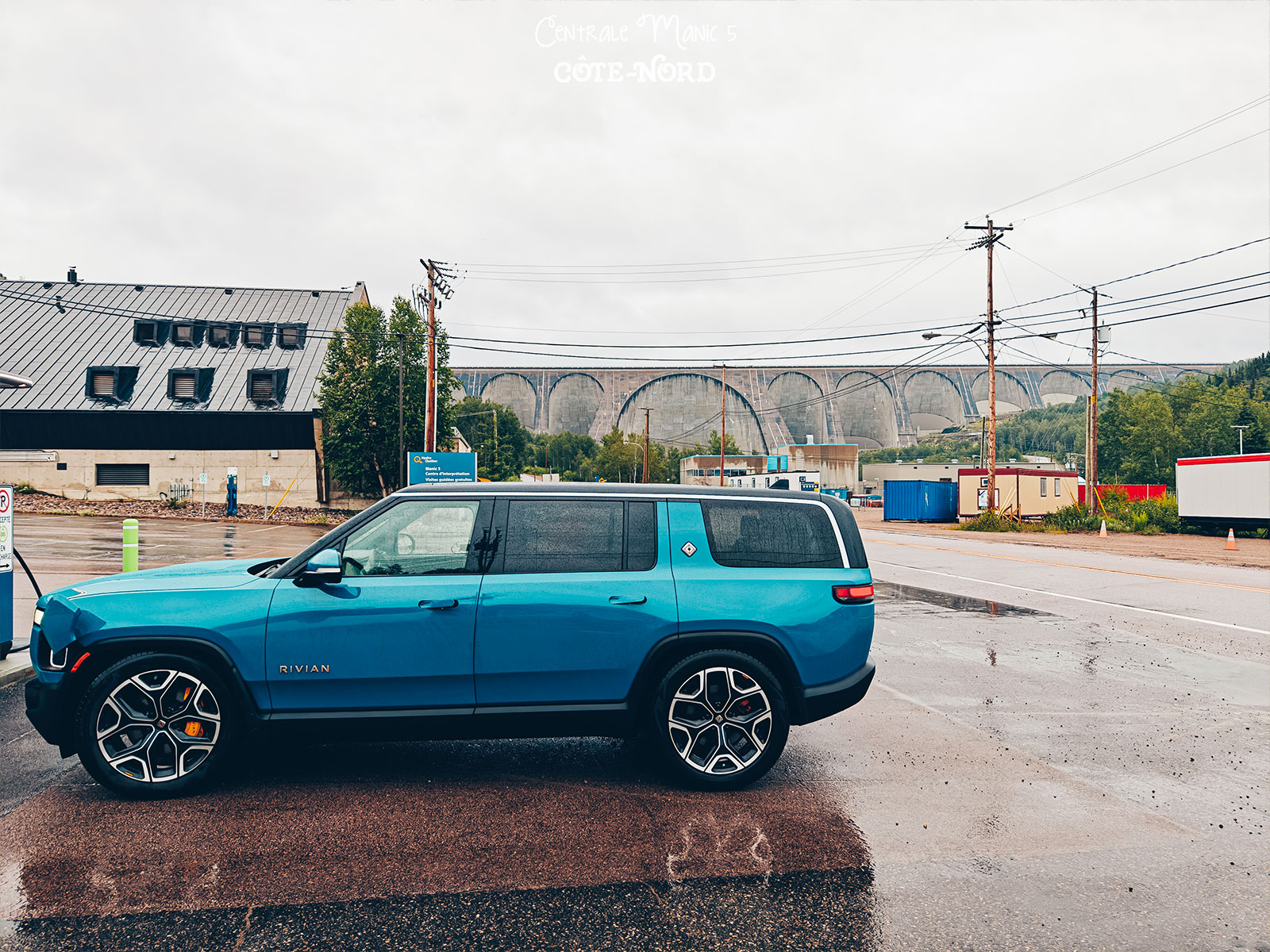
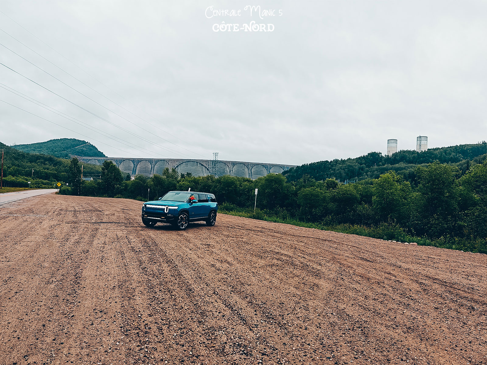
The dam
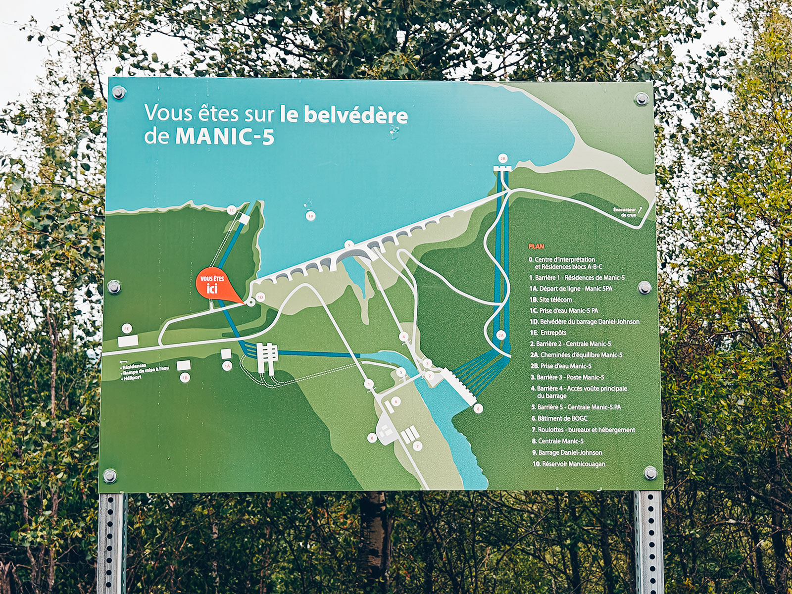
214 mfrom the foundation up — the largest multiple-arch-and-buttress dam in the world, says Hydro-Québec.
The numbers
13 arches
14 buttresses
The largest multiple-arch and buttress dam in the world
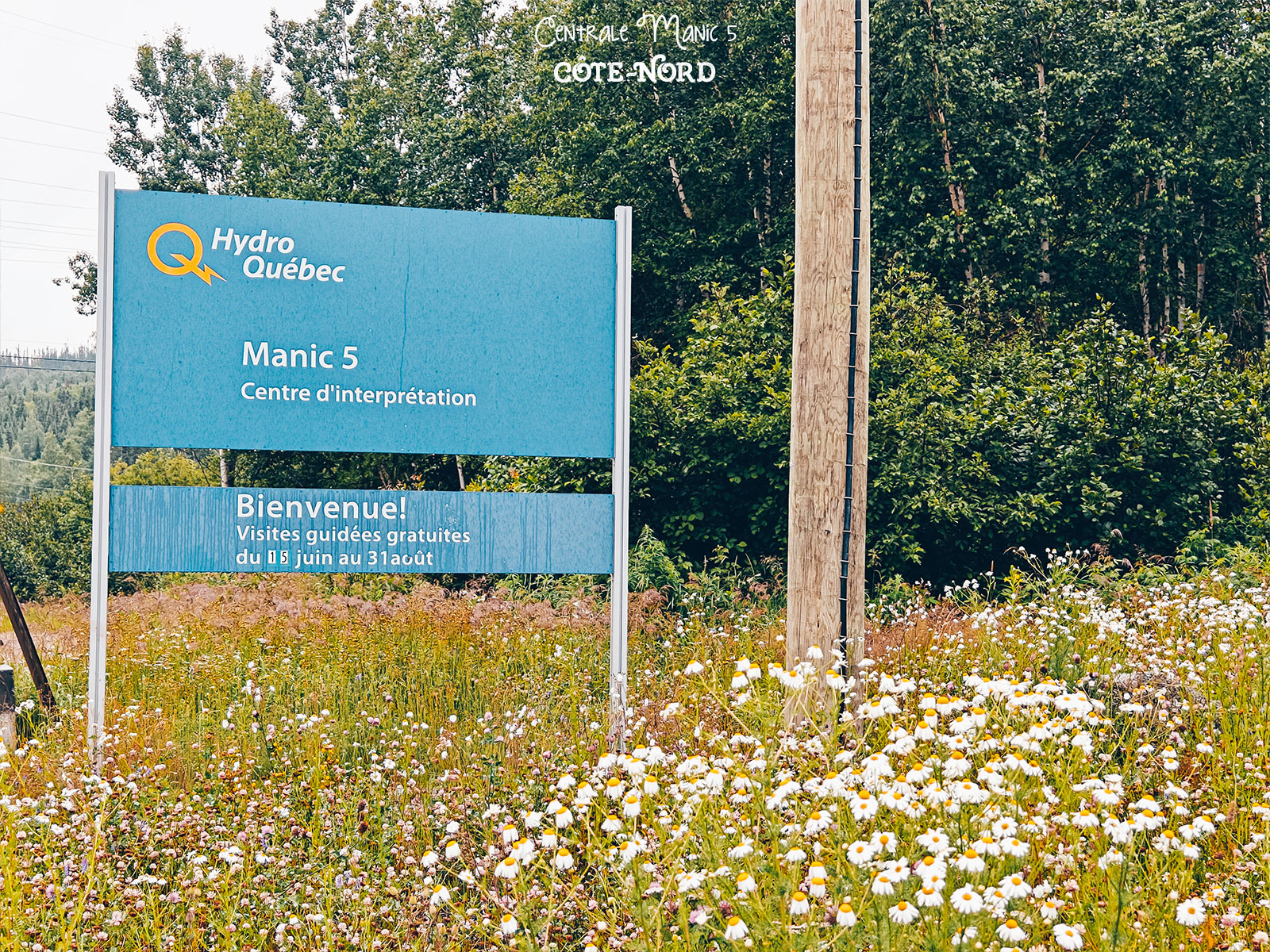
Free guided tours, from June 15 to August 31.
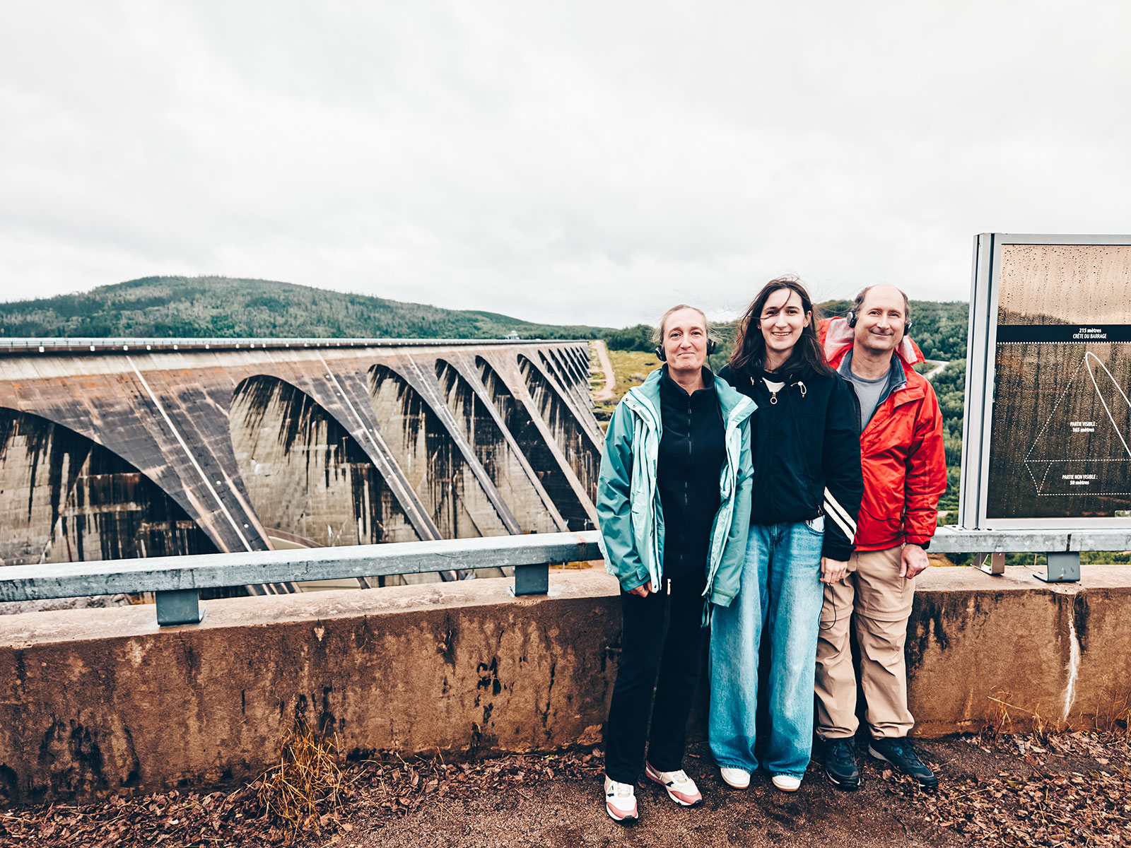
The lookout
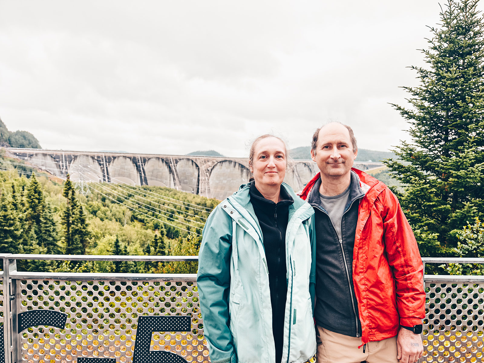
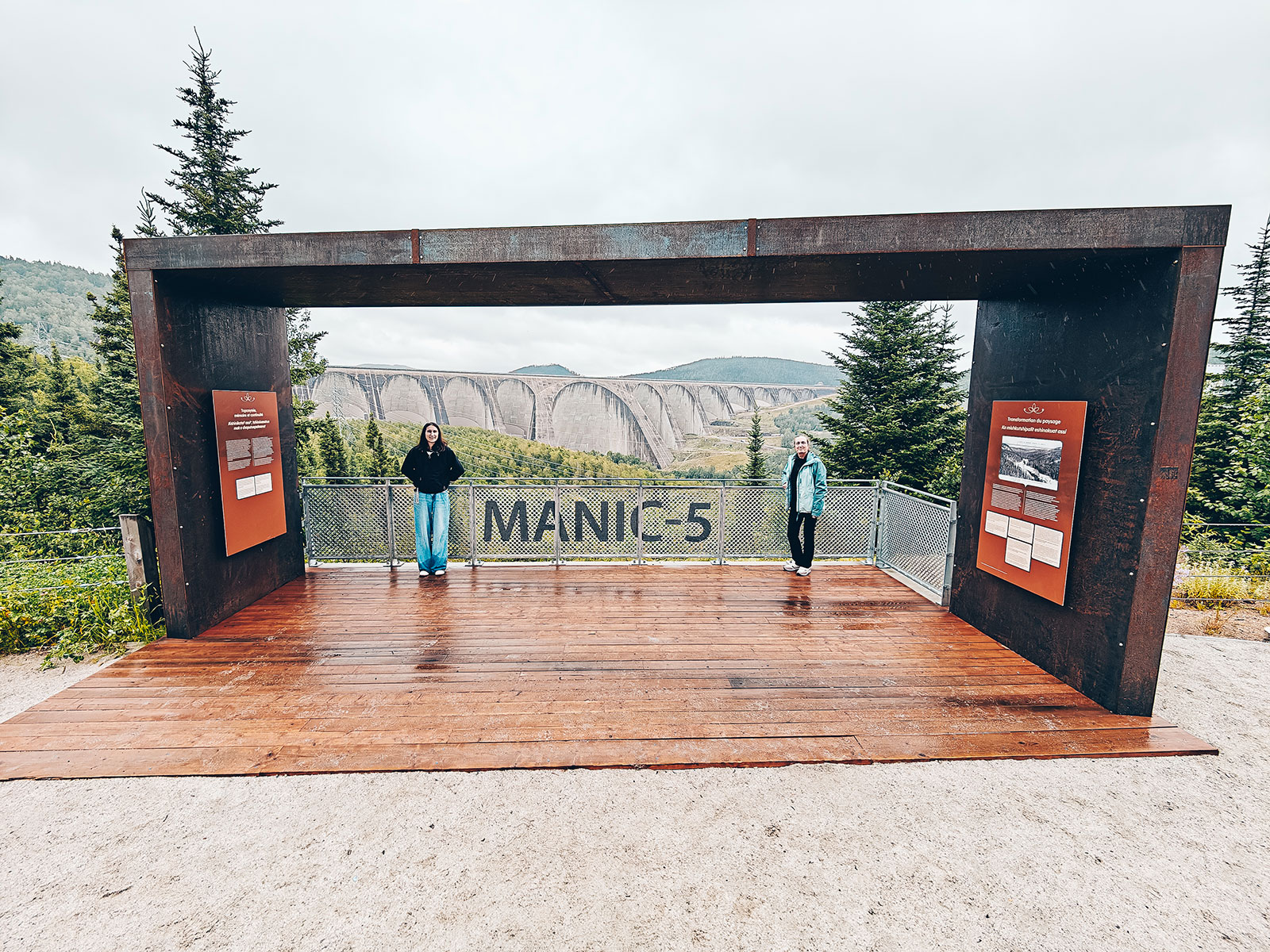
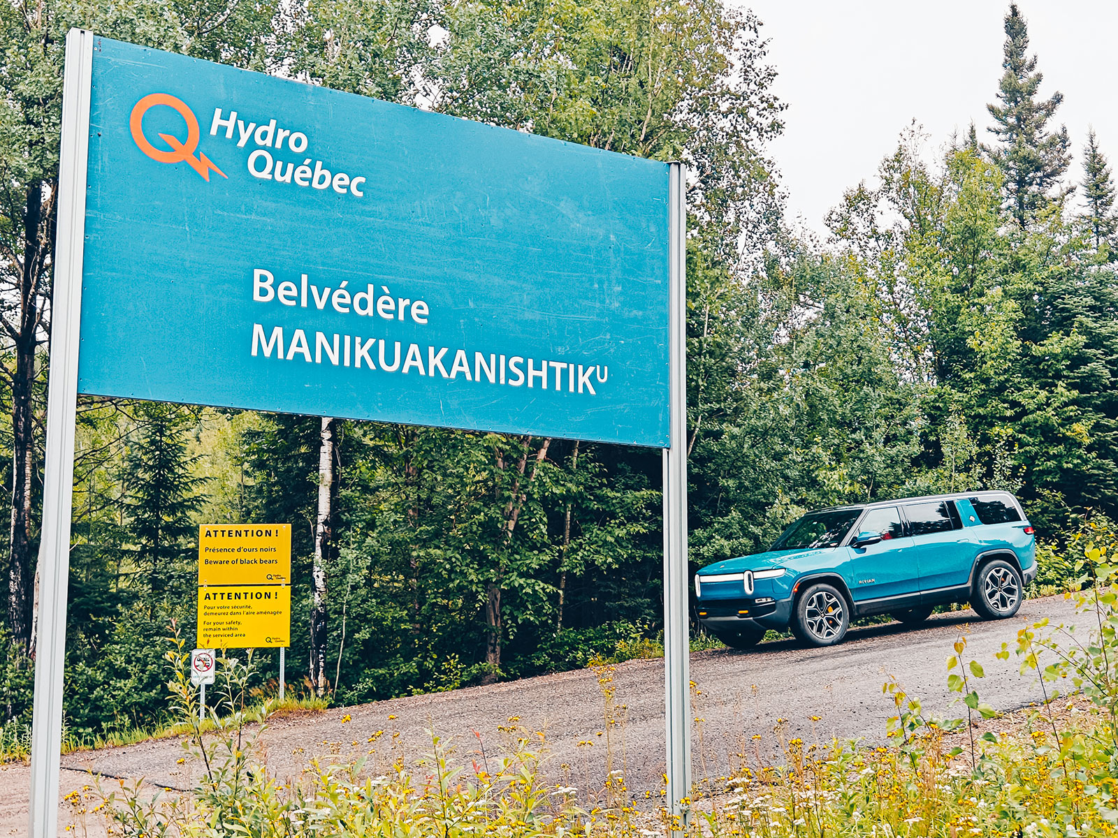
Manikuakanishtiku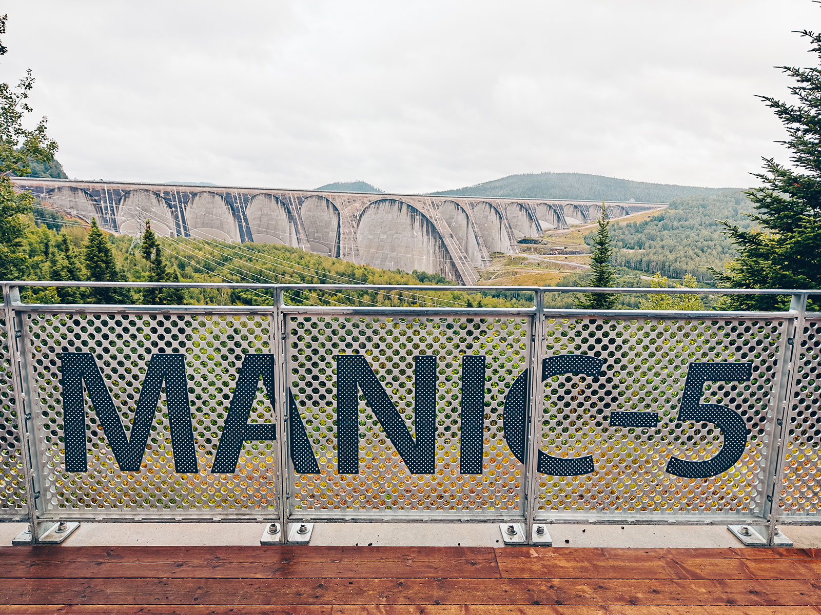

Here, the landscape tells two stories.
A quiet, deeply moving place. The displays are a reminder that this territory has belonged to the Innus de Pessamit for thousands of years, and they tell of the consequences the hydroelectric complex had on their Nitassinan.
One of human ingenuity. And one of a land that was lived in long before the dams arrived.
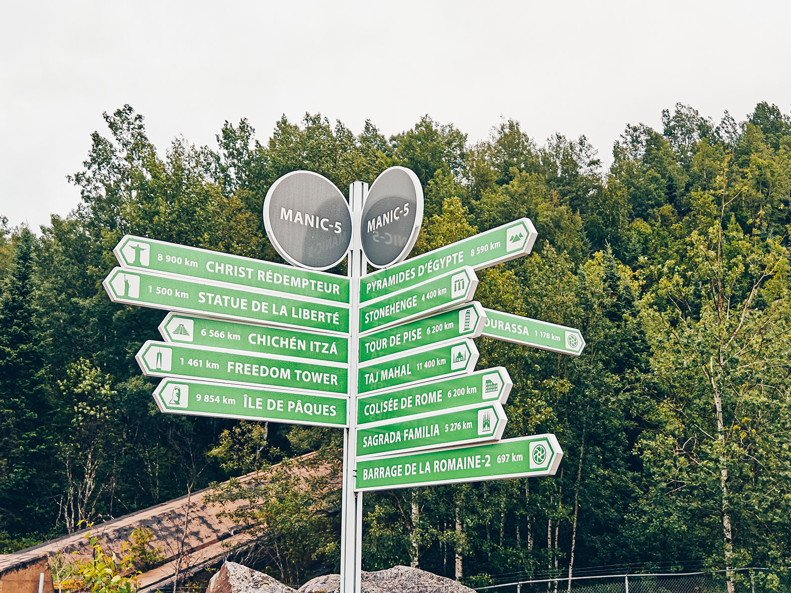
And from here, everything is far away
Statue of Liberty · 1,500 km
Stonehenge · 4,400 km
Christ the Redeemer · 8,900 km
Easter Island · 9,854 km
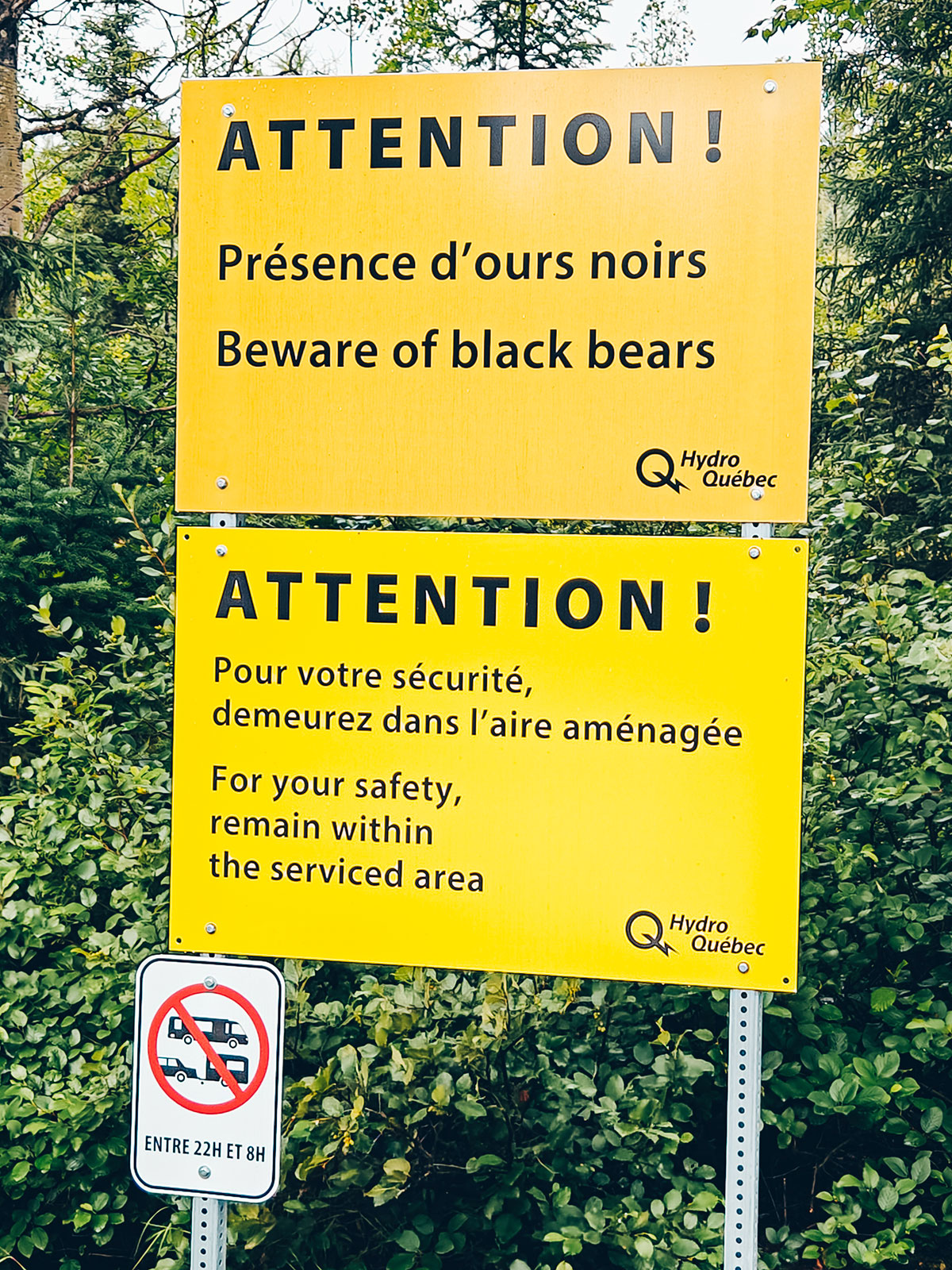
"Please stay within the developed area."
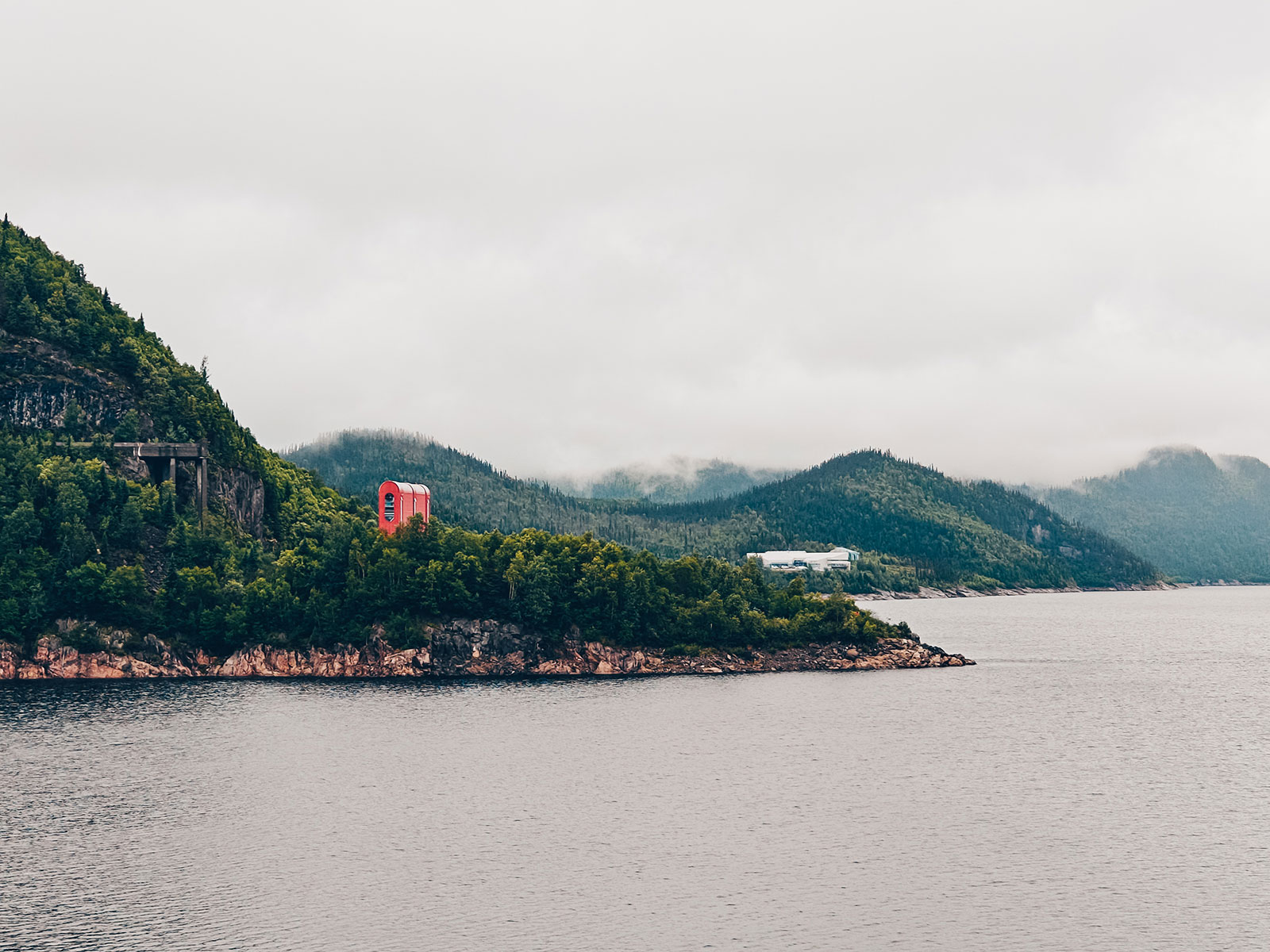
From the lookout
The arches stretch from one valley wall to the other.
Innu of Pessamit land for thousands of years.
Here, the landscape tells two stories.
Les Escoumins
Second time · at sunset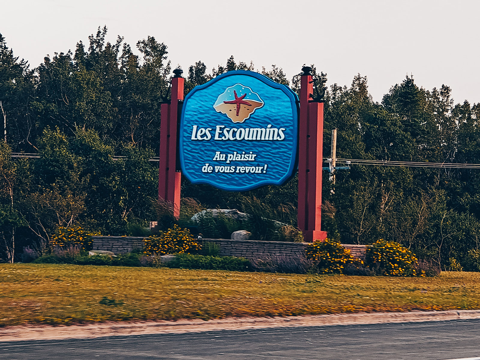
We stopped at Les Escoumins a second time, on the way home, and the place had changed entirely — the tide was out, the light was low, and the whole shore had gone gold.
"The river seemed even wider than on the way up, and the silence was almost solid."
Low light
The pebbles the tide had polished, lit from the side.
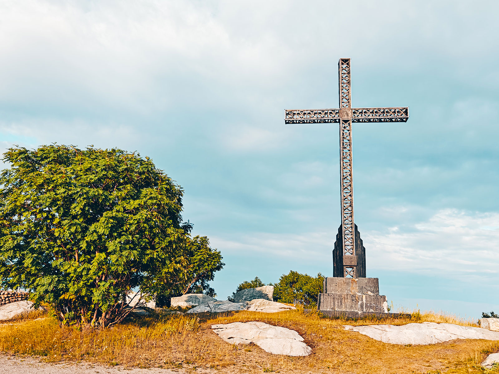
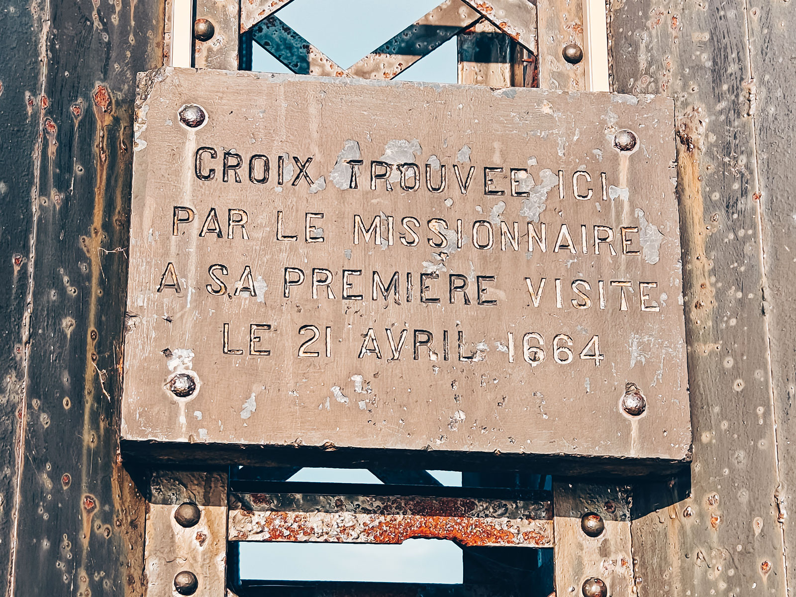
Pointe-de-la-Croix
Standing since at least 1664
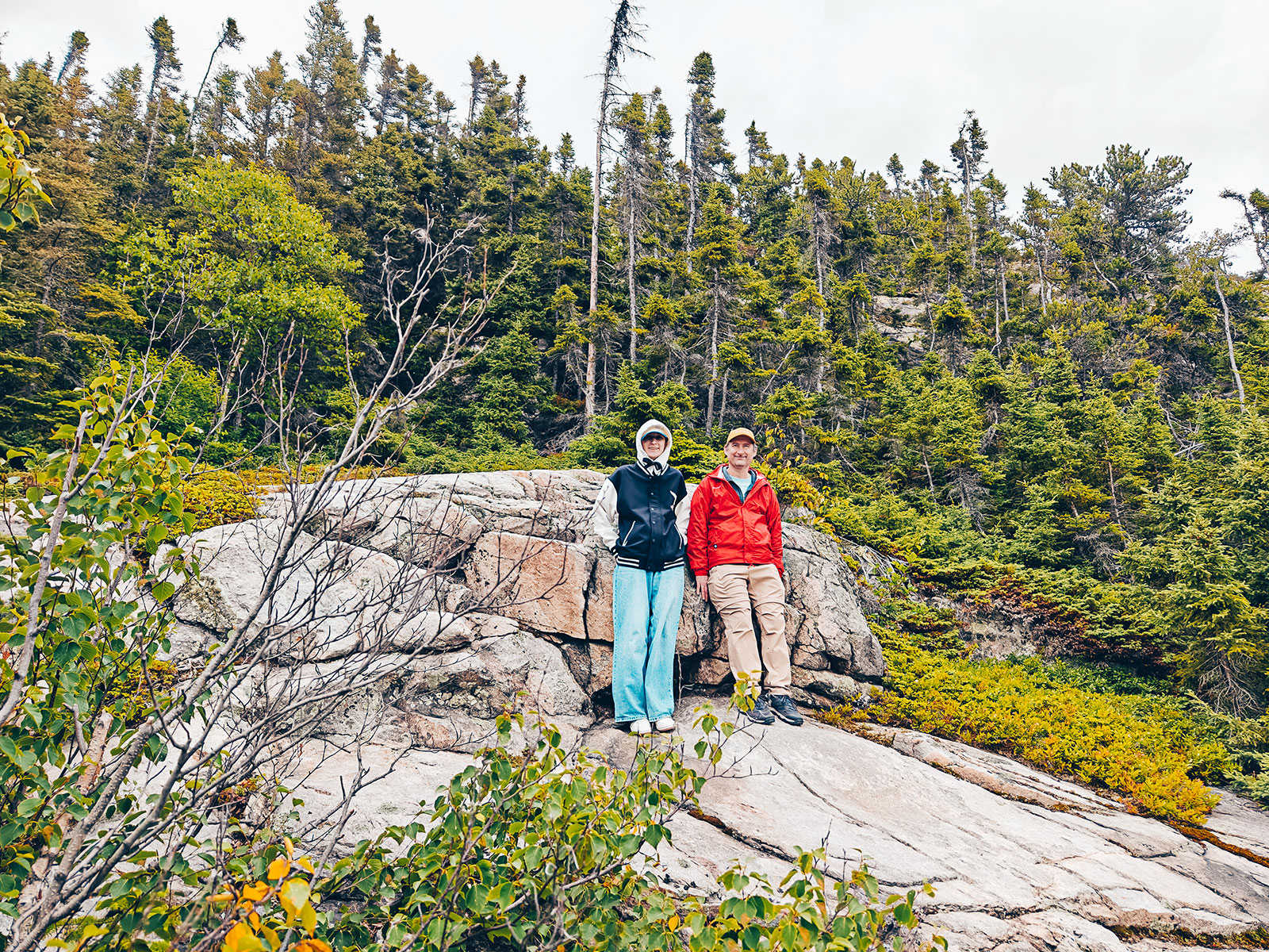
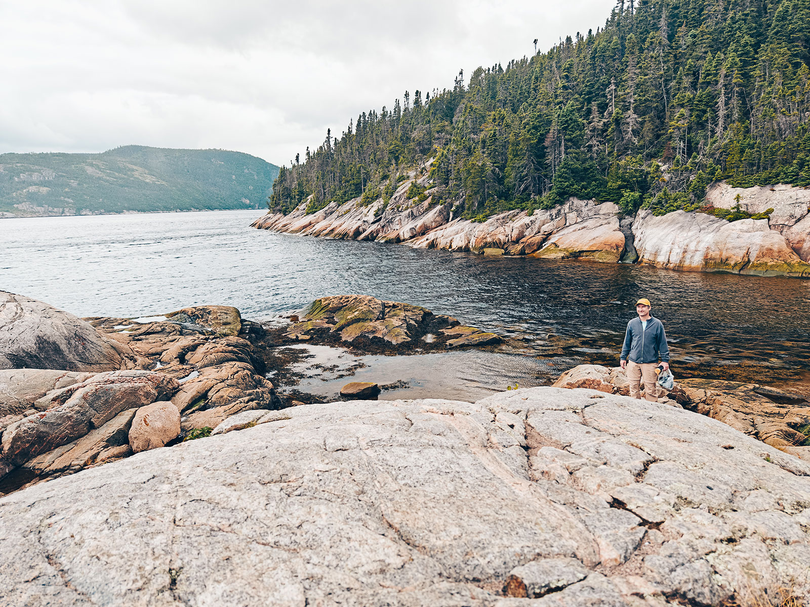
A cross has stood on this point since at least 1664 — the year the Jesuit Henri Nouvel mentioned it in passing. He did not raise it: it was already there.
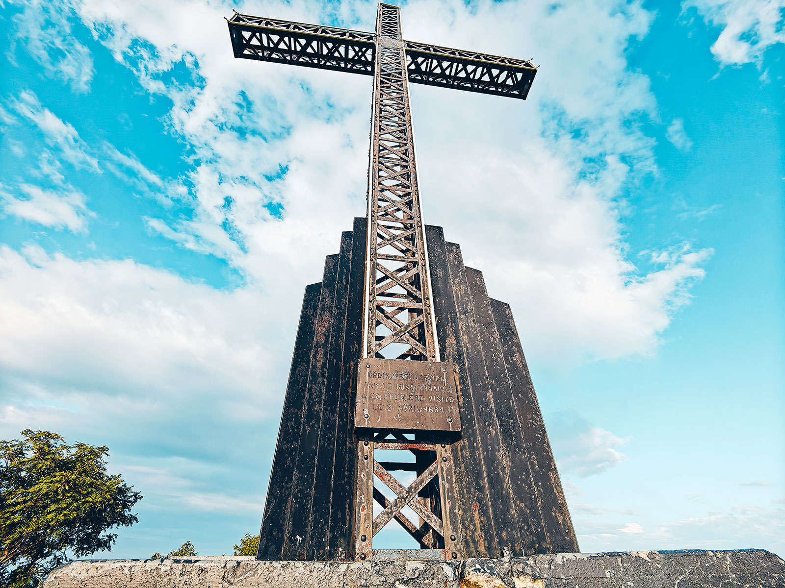
The walk out
0.5 kmof easy path to the point and the view.
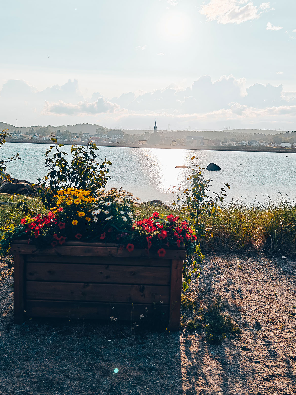
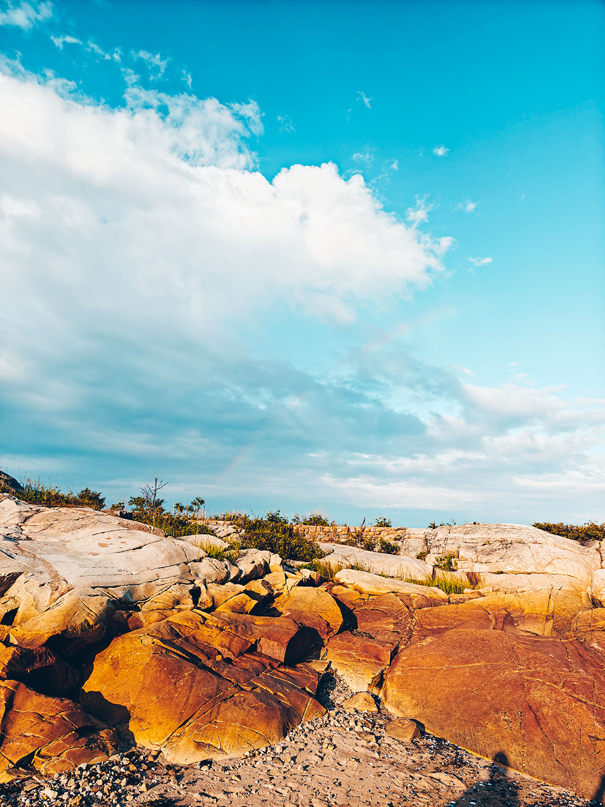
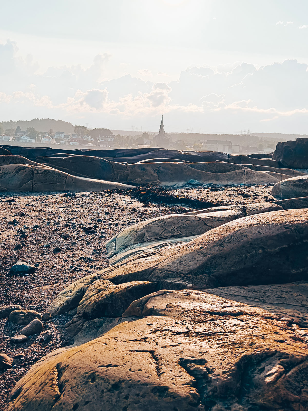
"We walked along the water, picked up a few stones, and took the time to look."
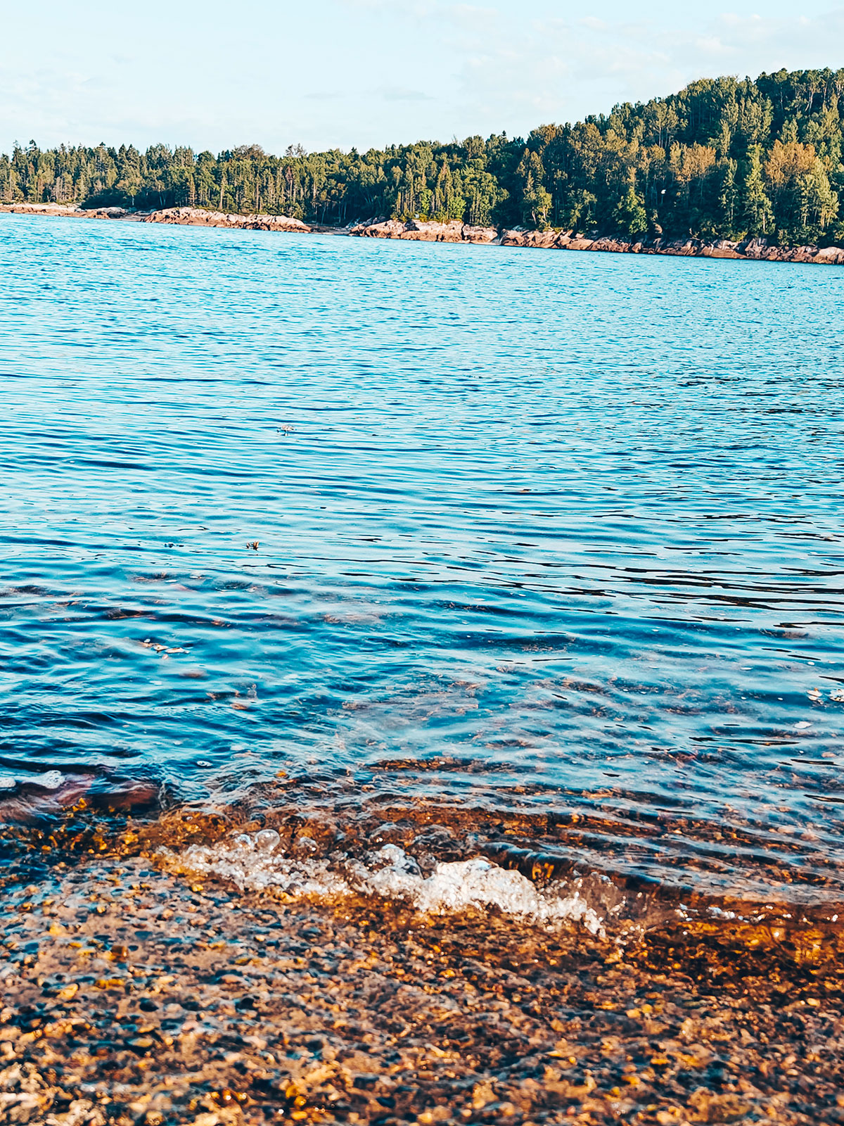
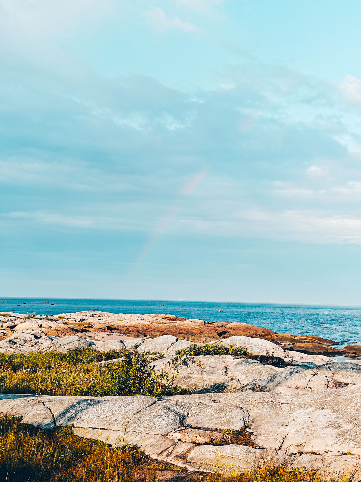
A few pebbles came home with us.
Iskomin
The name is Innu: isko, "up to here", and min, "red berries" — the small wild fruit that kept its colour under the snow.
The St. Lawrence pilots board their ships here, day and night, all year.
Les Escoumins
1,794residents at the 2021 census.
Les Bergeronnes
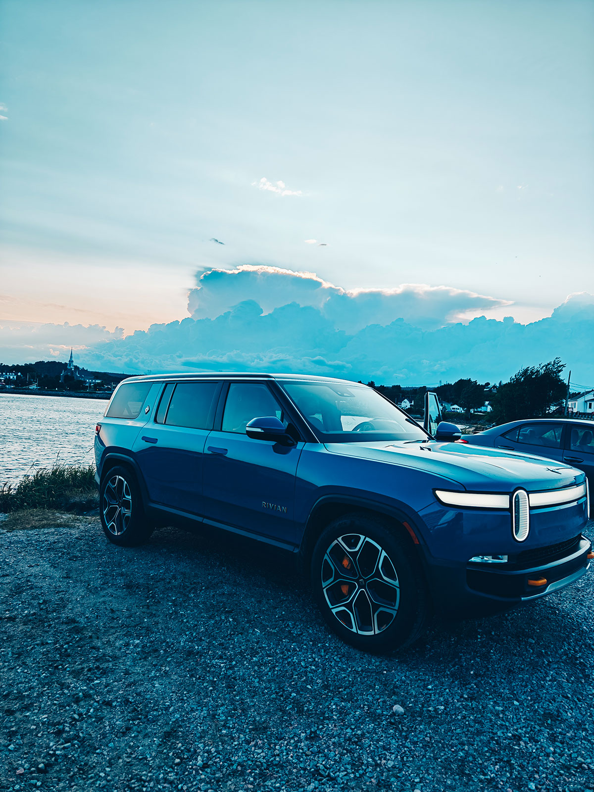
A night on the coast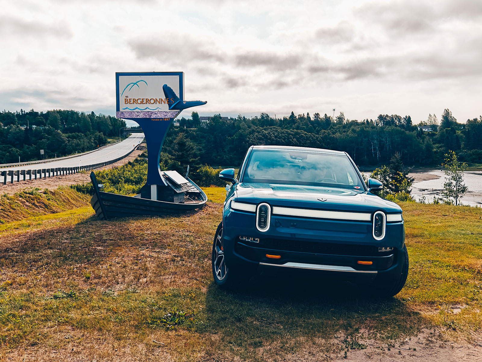
We slept at Les Bergeronnes, a small village nine kilometres up the road from Tadoussac. The sunset over the river was spectacular — and though we watched, no whales showed themselves that evening.
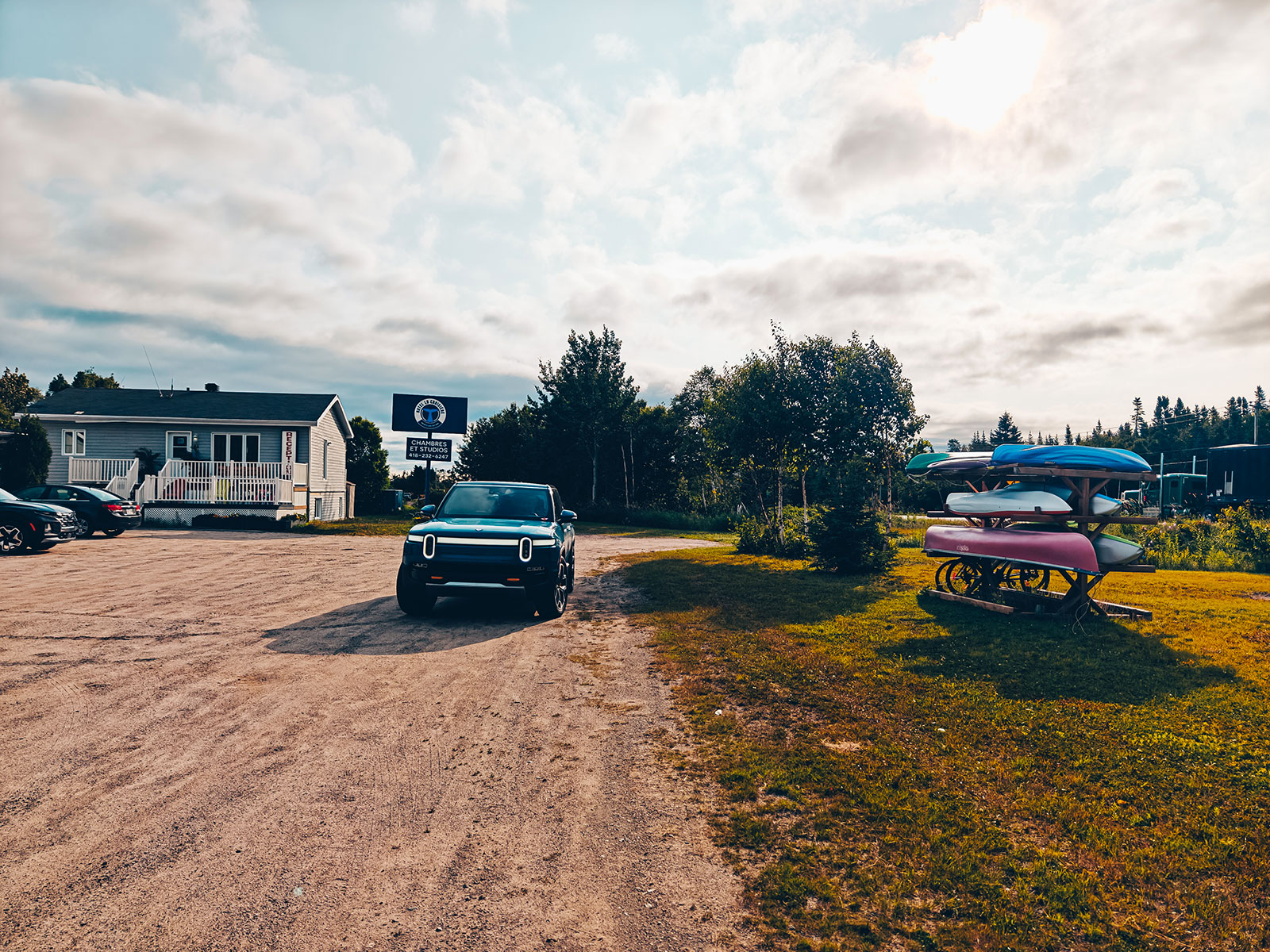
Overnight
A quiet night on the Côte-Nord, and back on the road in the morning.
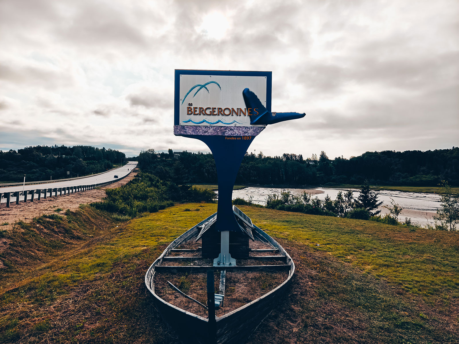
We watched
The river is right there, just below — but it gave us nothing that evening. That is the risk, and it is what makes the other evenings count.
Les Bergeronnes
619residents at the 2021 census.
Cap-de-Bon-Désir
A former lighthouse station just up the coast, where the deep water comes close enough that whales pass within metres of the rocks.
Archéo Topo
The village archaeology centre, open since 1995, covers the Côte-Nord from Tadoussac to Blanc-Sablon.
The Basques
They were already hunting whales at the Anse-à-la-Cave, just along the shore, in the late 1500s.
The name is not Innu but French: Champlain was already writing "les Bergeronnettes" here in 1626.
Tadoussac
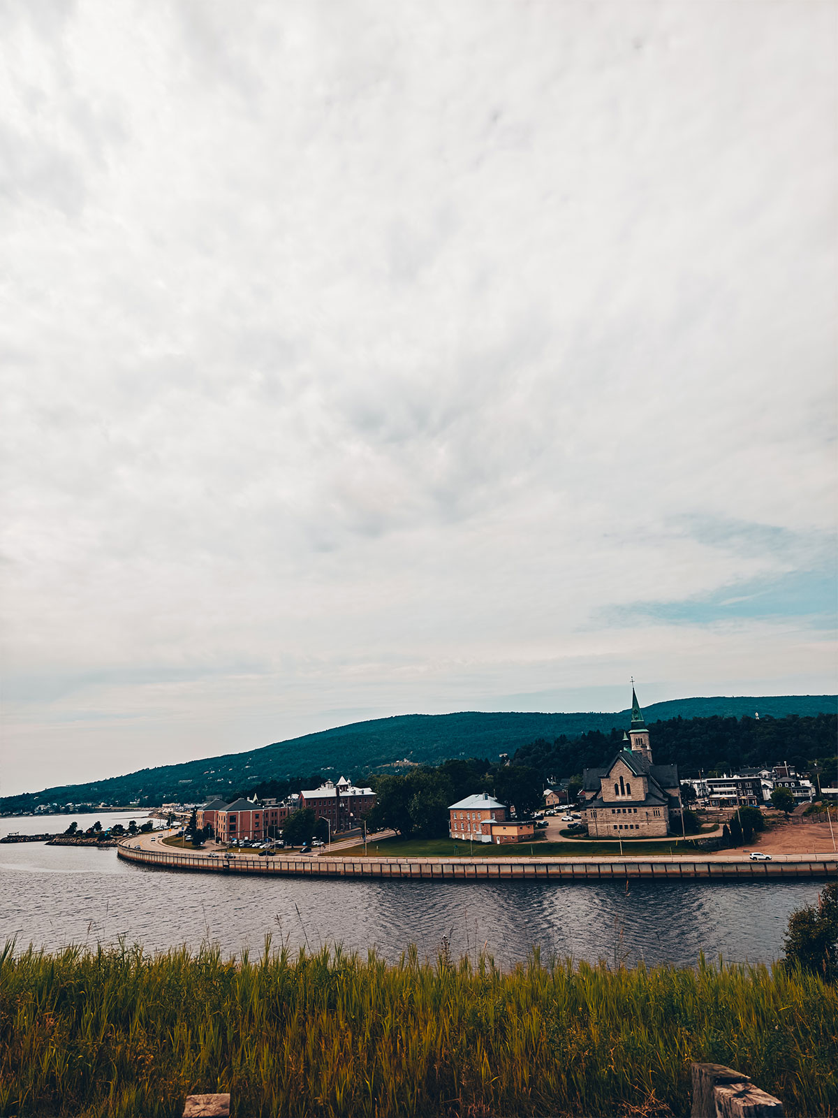
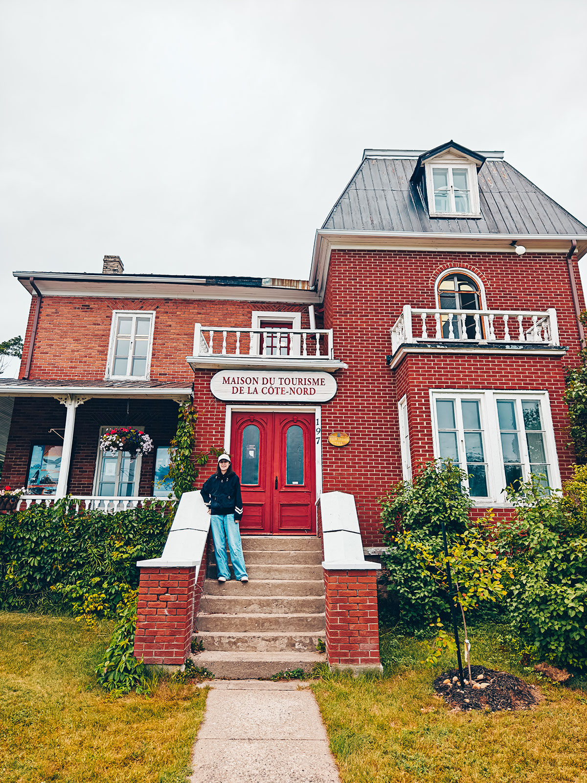
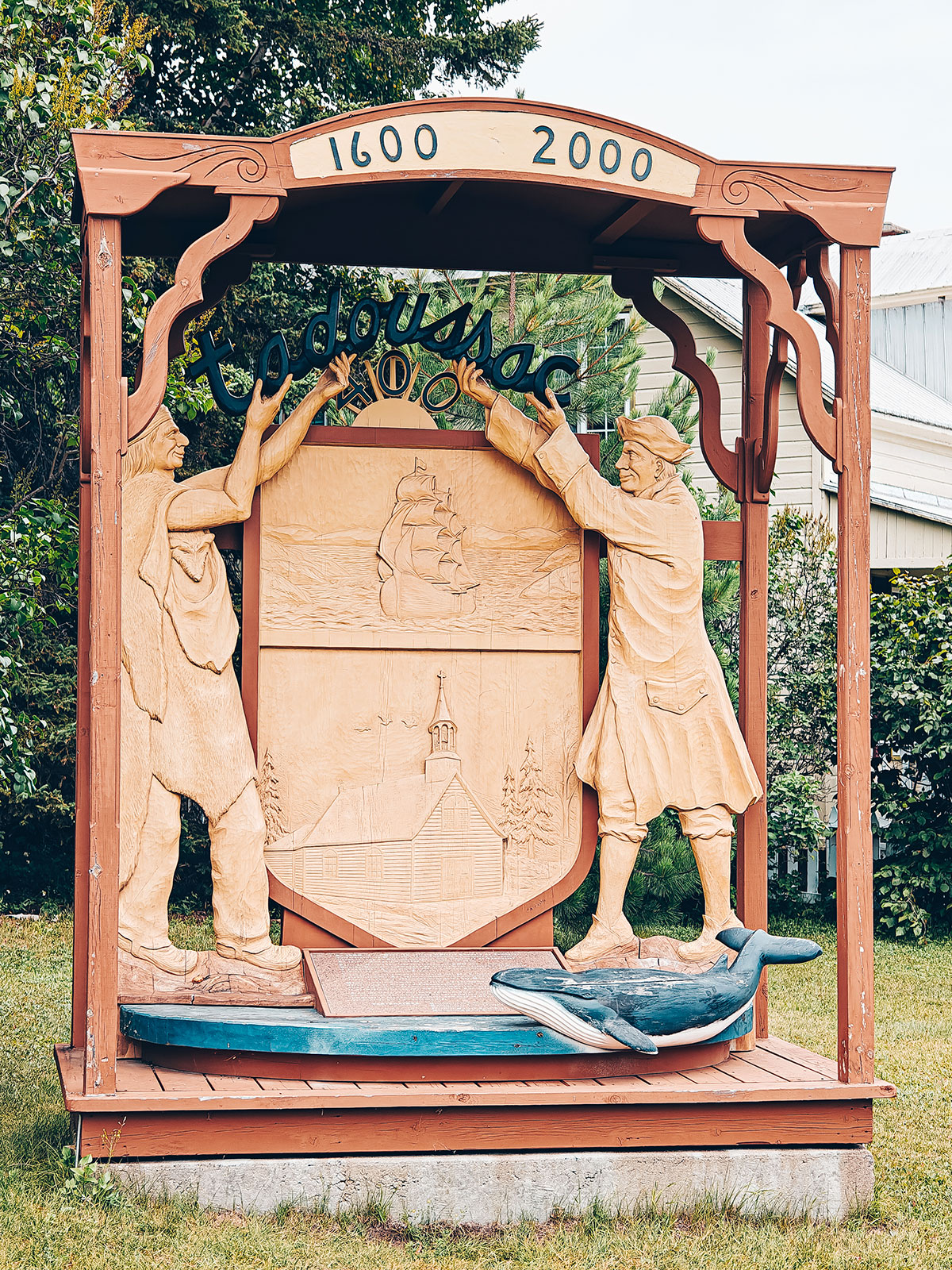
Where the Saguenay meets the riverTadoussac sits exactly where the Saguenay meets the St. Lawrence. It is a small place — 814 people — with an outsized history: the first fur-trading post in New France was built here in 1600, eight years before Québec City was founded.
Where two rivers meet
The Saguenay fjord runs 105 km inland, with walls rising as much as 500 m.
The name
Probably from the Innu totouswk, "the breasts" — the two round sandy hills behind the village. Several other readings exist; none is settled.
Before Québec
1600Pierre Chauvin’s trading post went up here eight years before Champlain founded Québec City.
The resort years
The white ships of Canada Steamship Lines set their passengers down here, bound upriver for Chicoutimi.
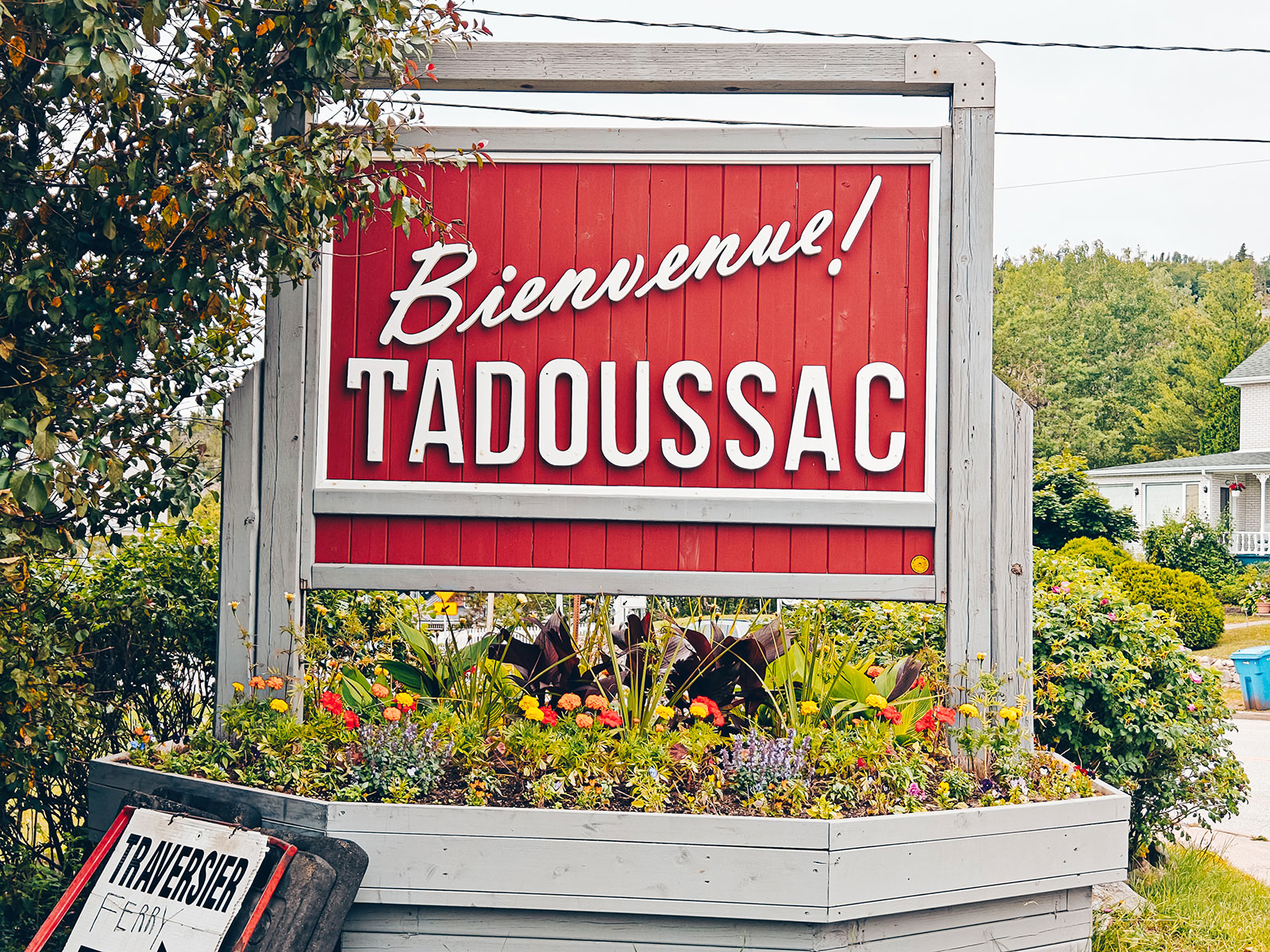
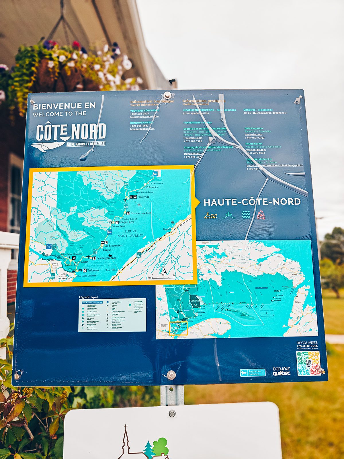
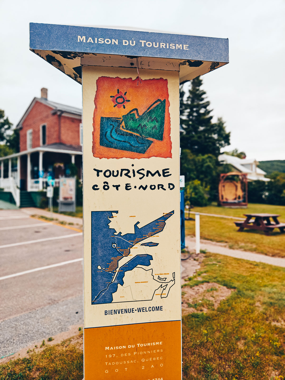
The dunes
Behind the village lie broad sand terraces, left by a glacial delta uncovered some 10,000 years ago, as the ice melted and the land rose again.
The Maison des Dunes, a heritage house restored by the Saguenay park, tells the story at the end of a trail about a kilometre long.
The only port
Jacques Cartier landed here in 1535, but Basque, Breton and Norman fishermen were already working this coast before him — for cod, for whales, and for trade.
For some thirty years, Tadoussac was the only seaport on the St. Lawrence.
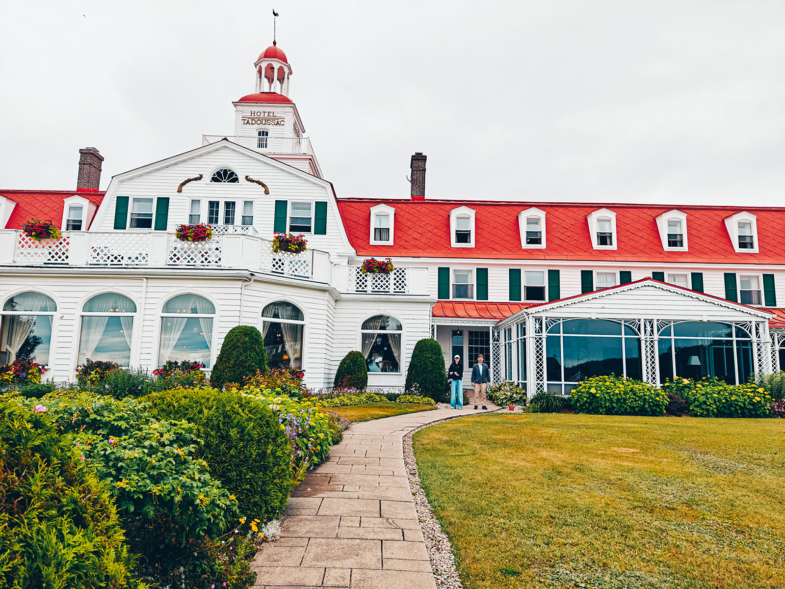
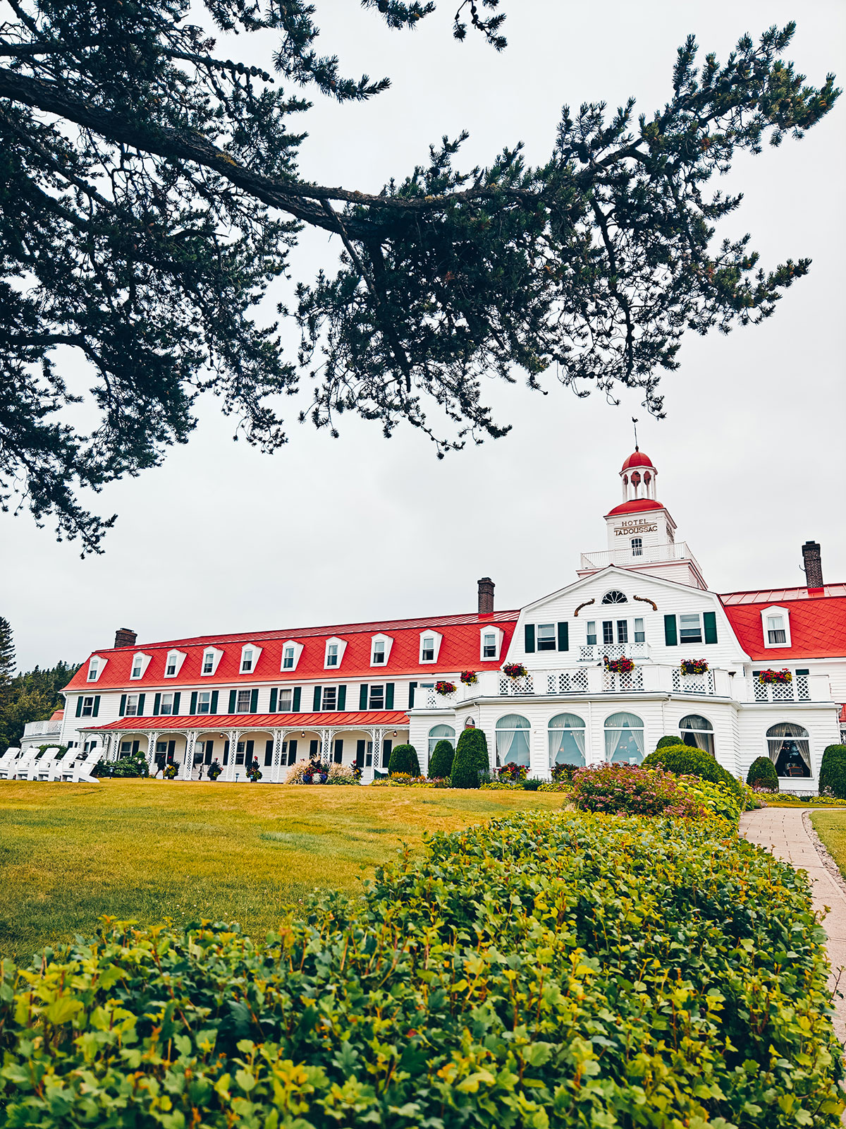
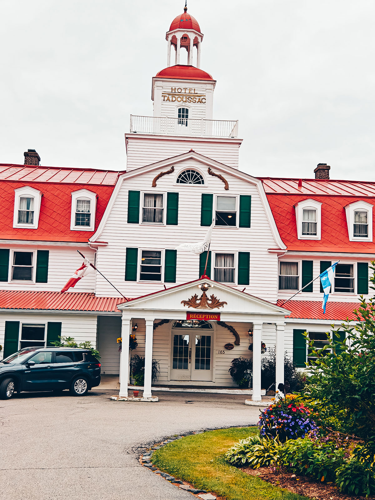
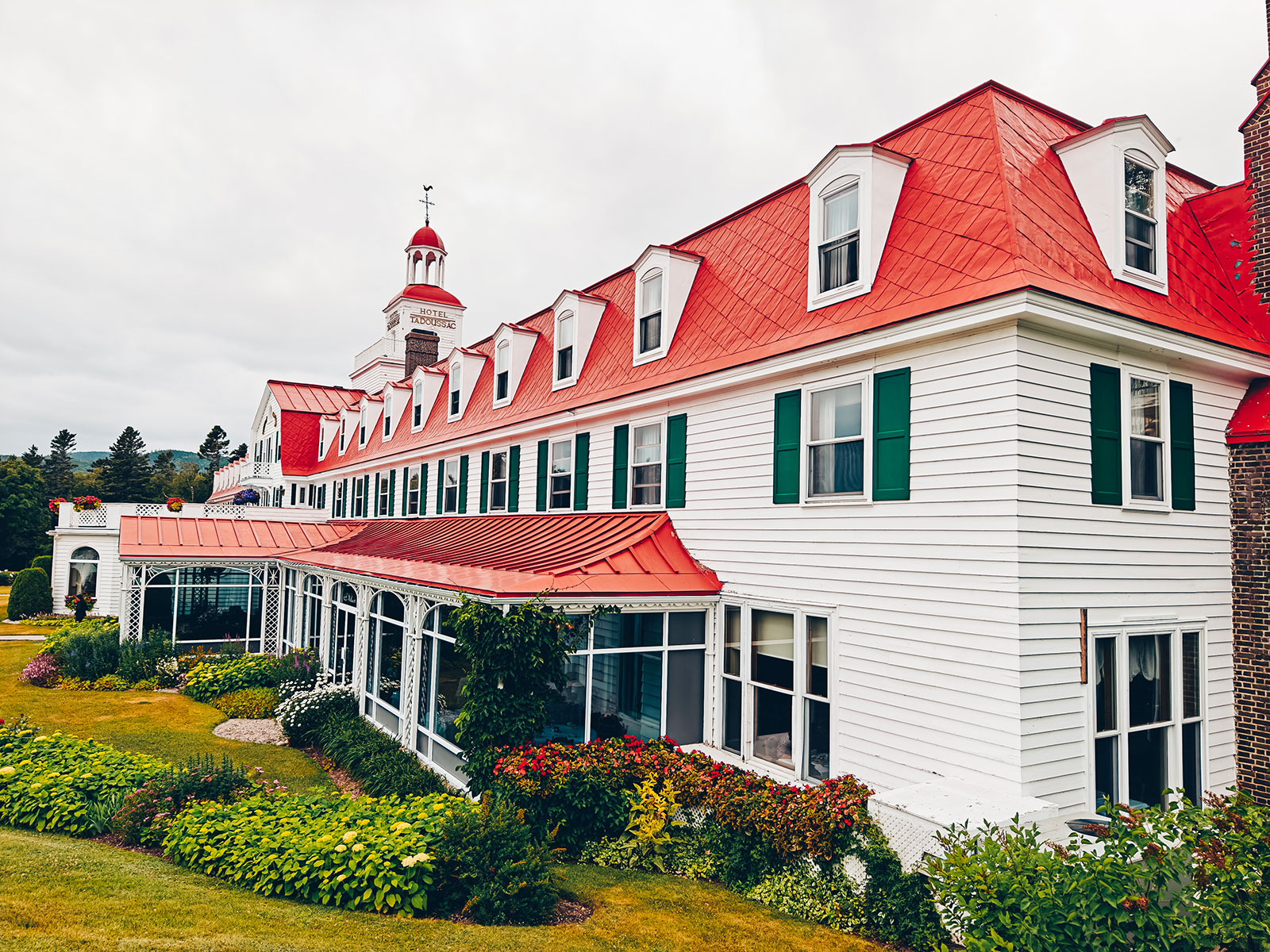
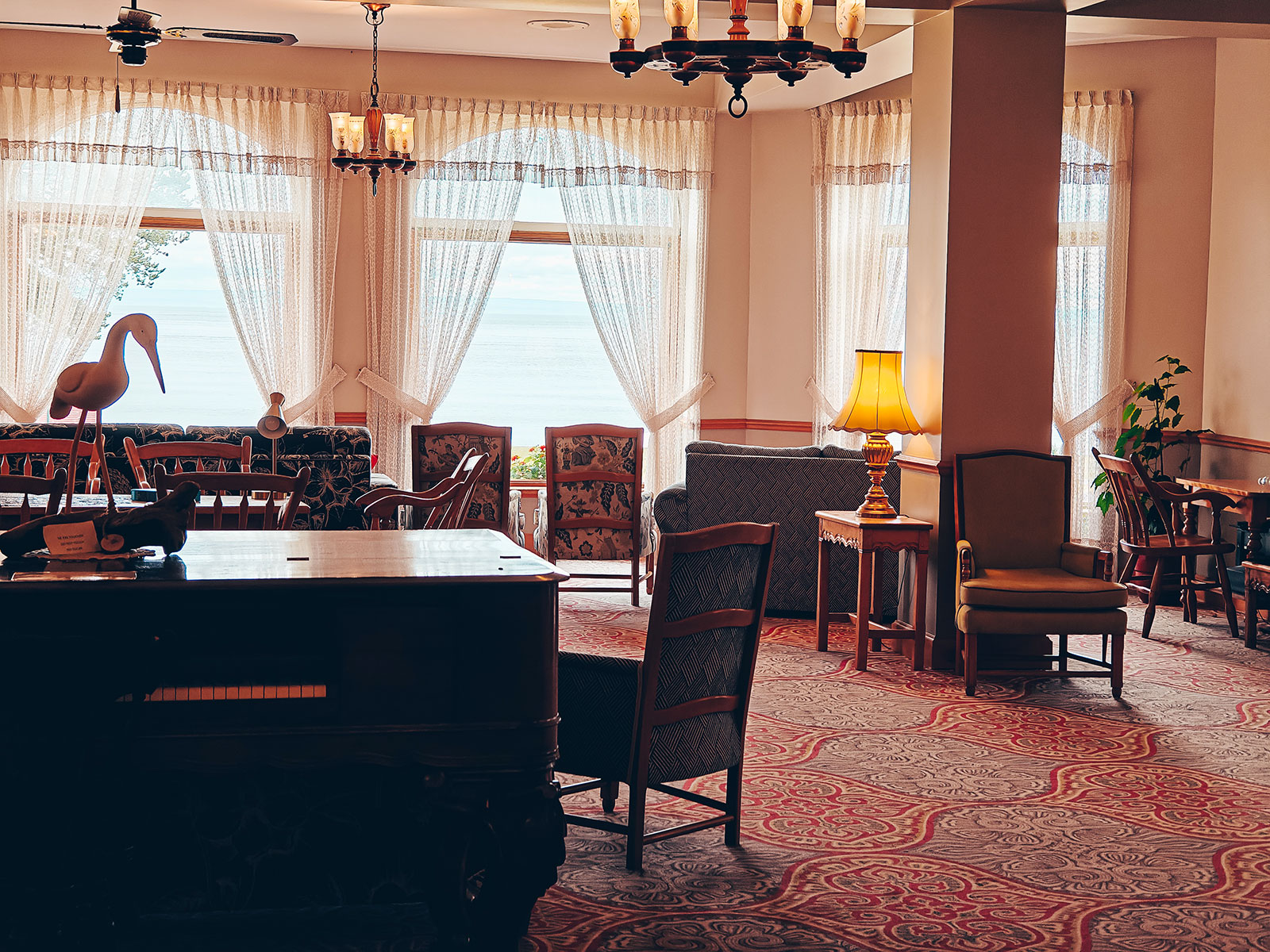
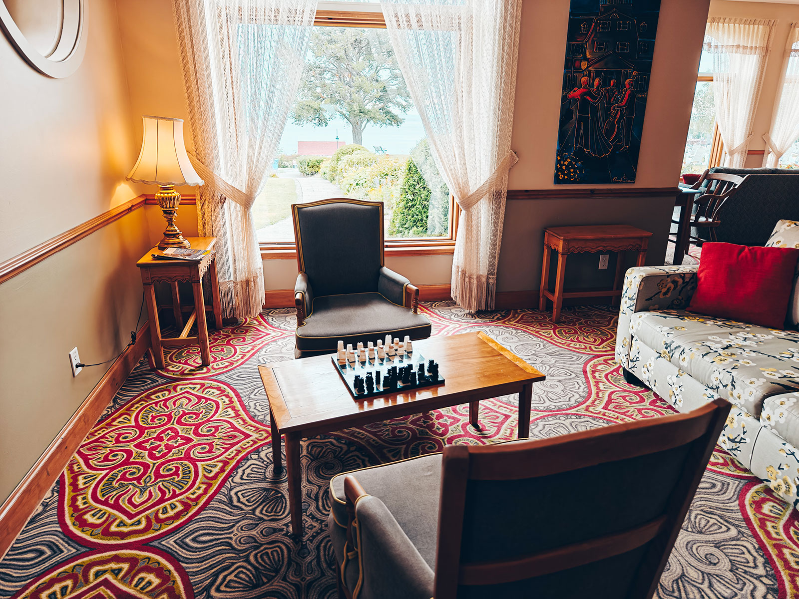
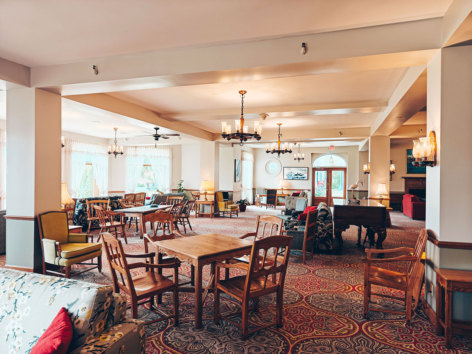
Hôtel Tadoussac
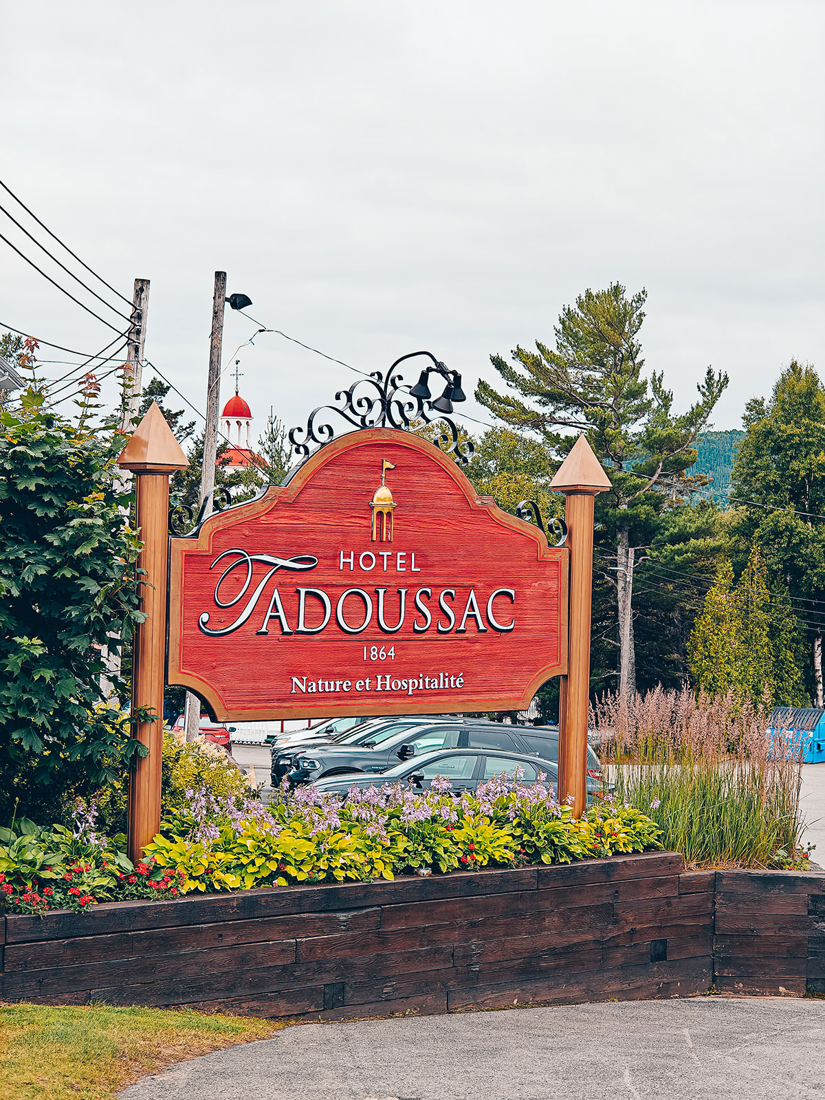
The building you see: 1942
The first hotel went up in 1864 and was pulled down in 1941. Canada Steamship Lines built this one to replace it, for the passengers of its white cruise ships.
We had a look around, simply because it is the sort of building you want to walk into.
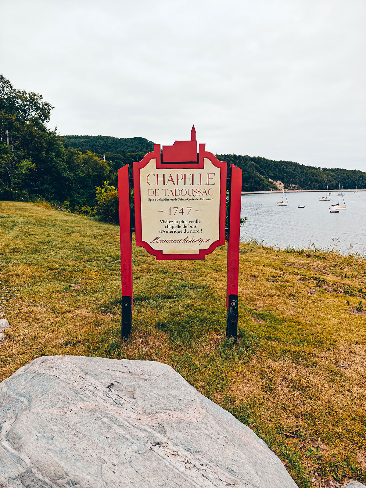
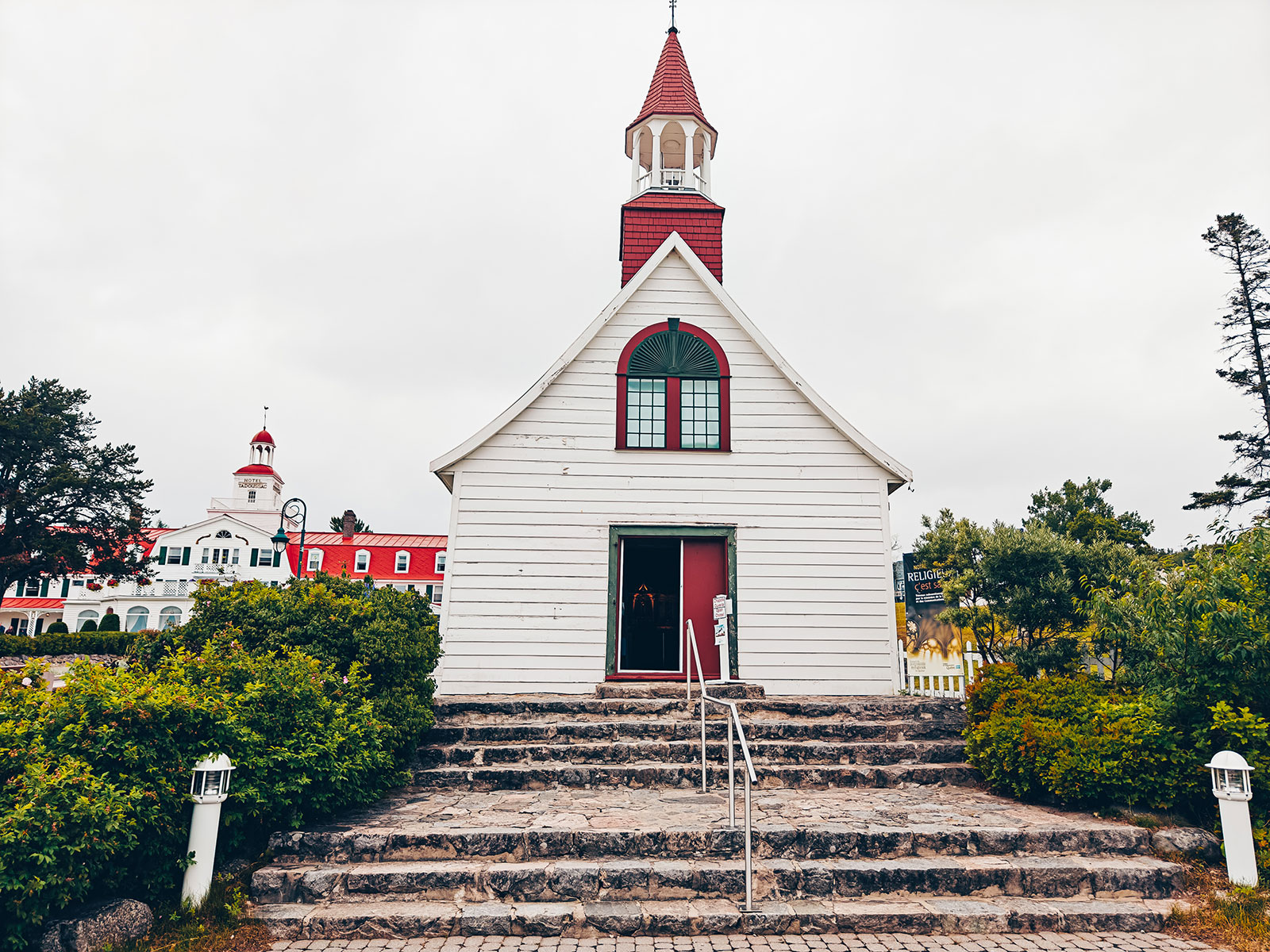
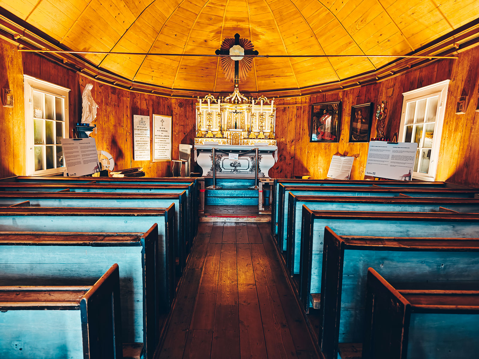
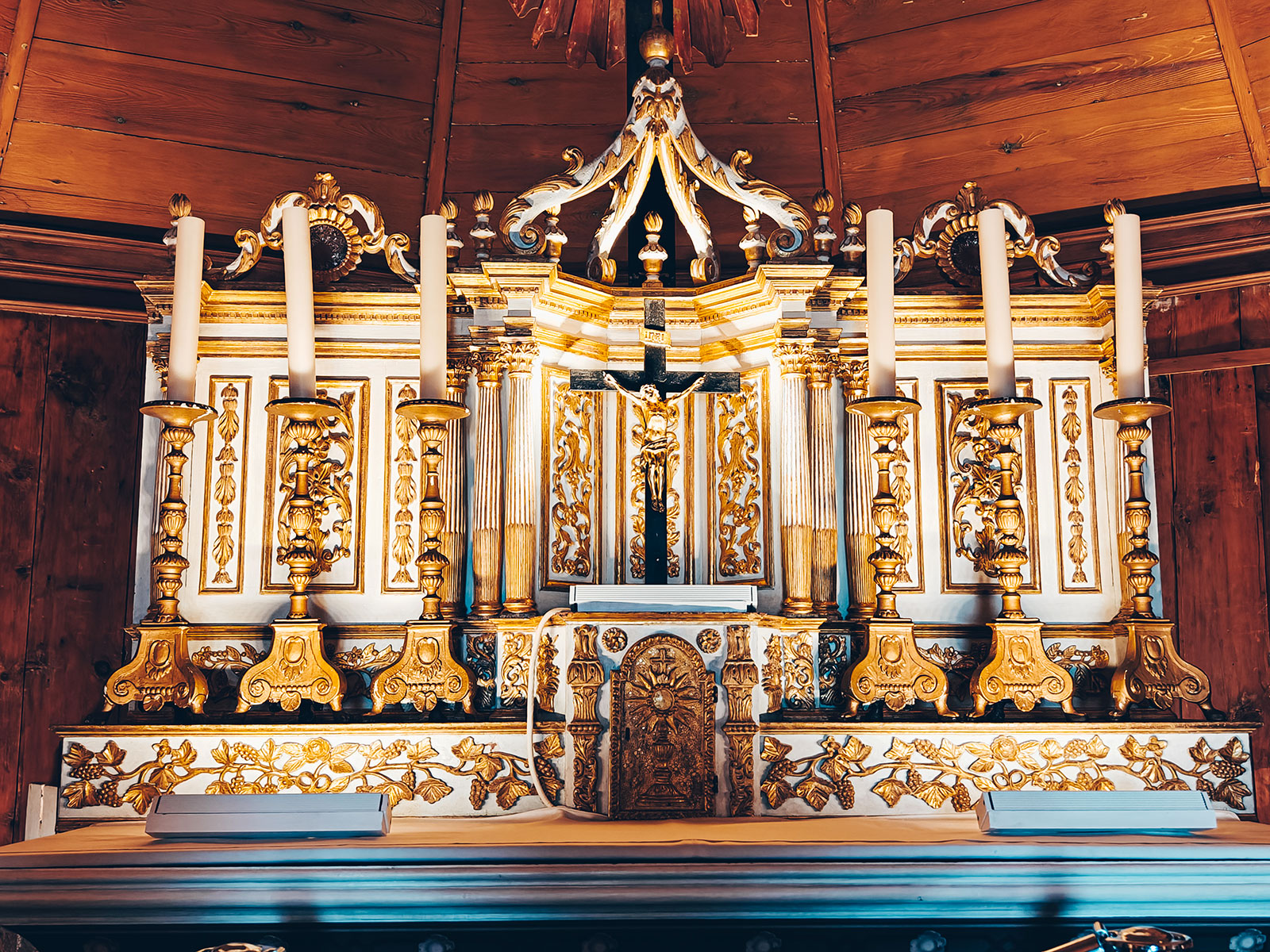
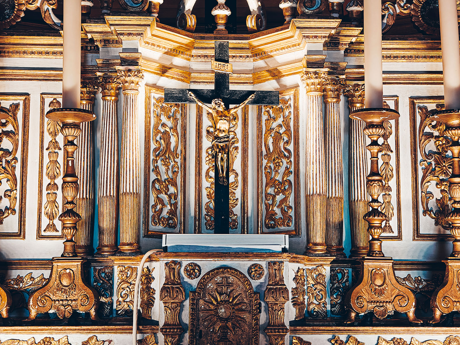
The chapel
Built 1747–1750
Designed by the Jesuit Claude-Godefroy Coquart; first mass on 24 June 1750. Parks Canada calls it the oldest wooden church in Québec and in Canada.
Small enough that a full congregation would be a crowd.
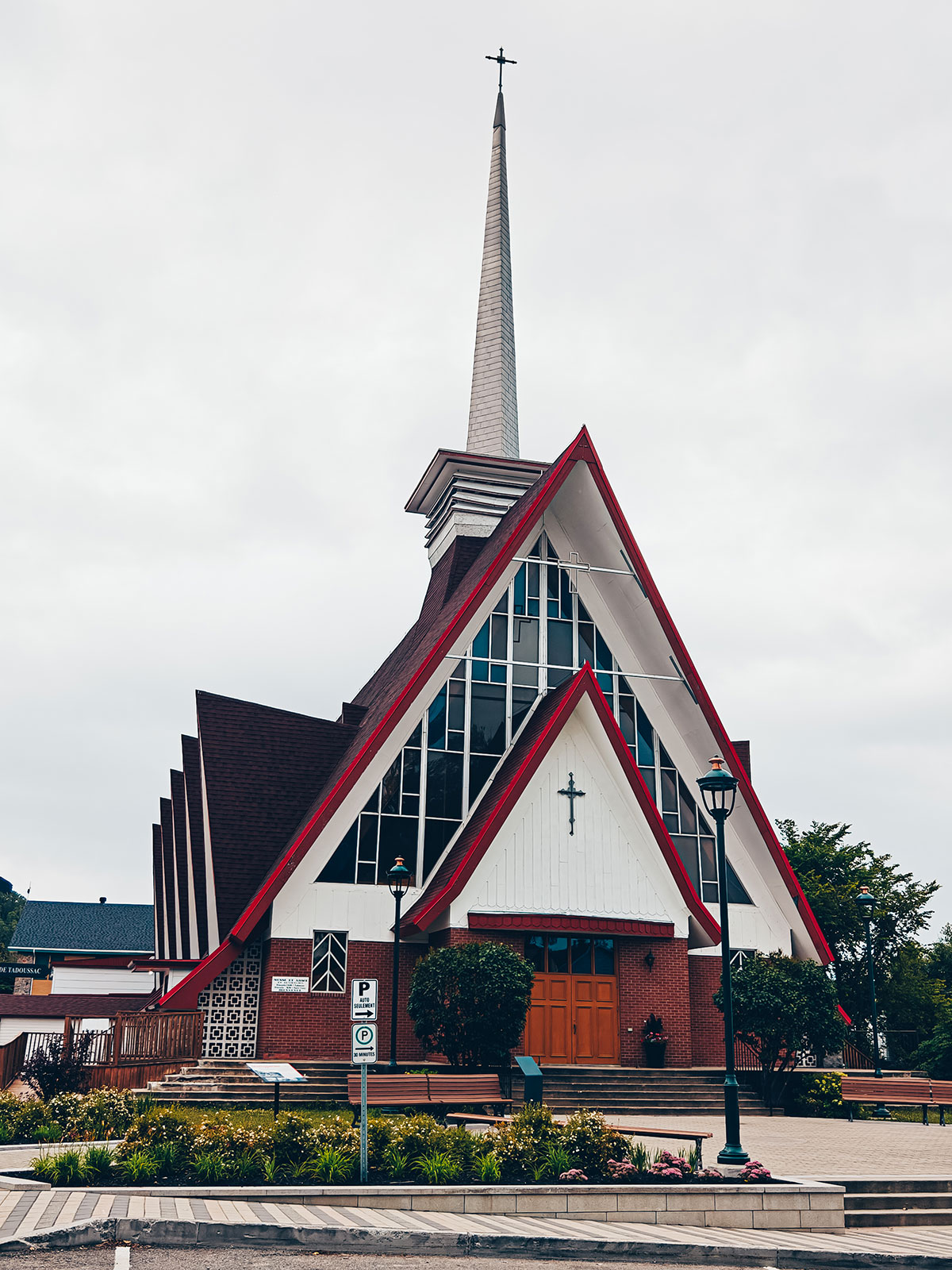
The parish church looks far older than it is — the building dates from 1962–65.
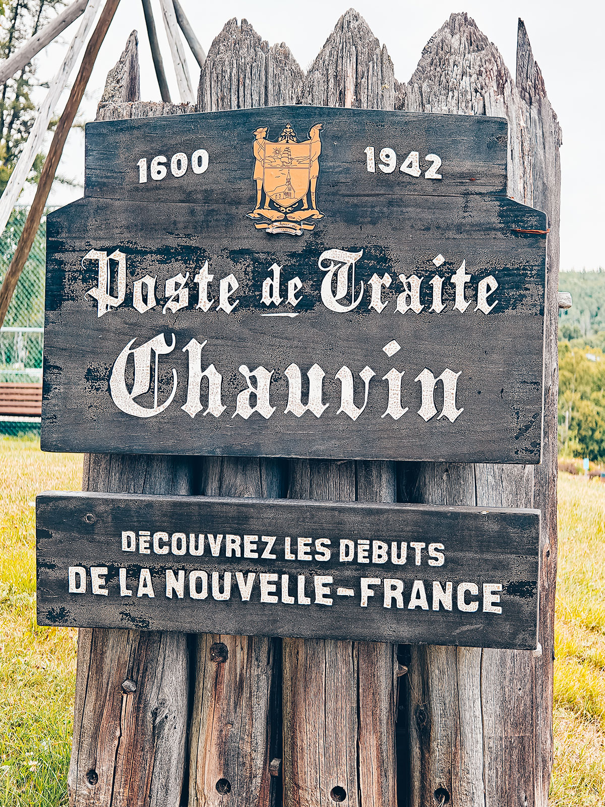
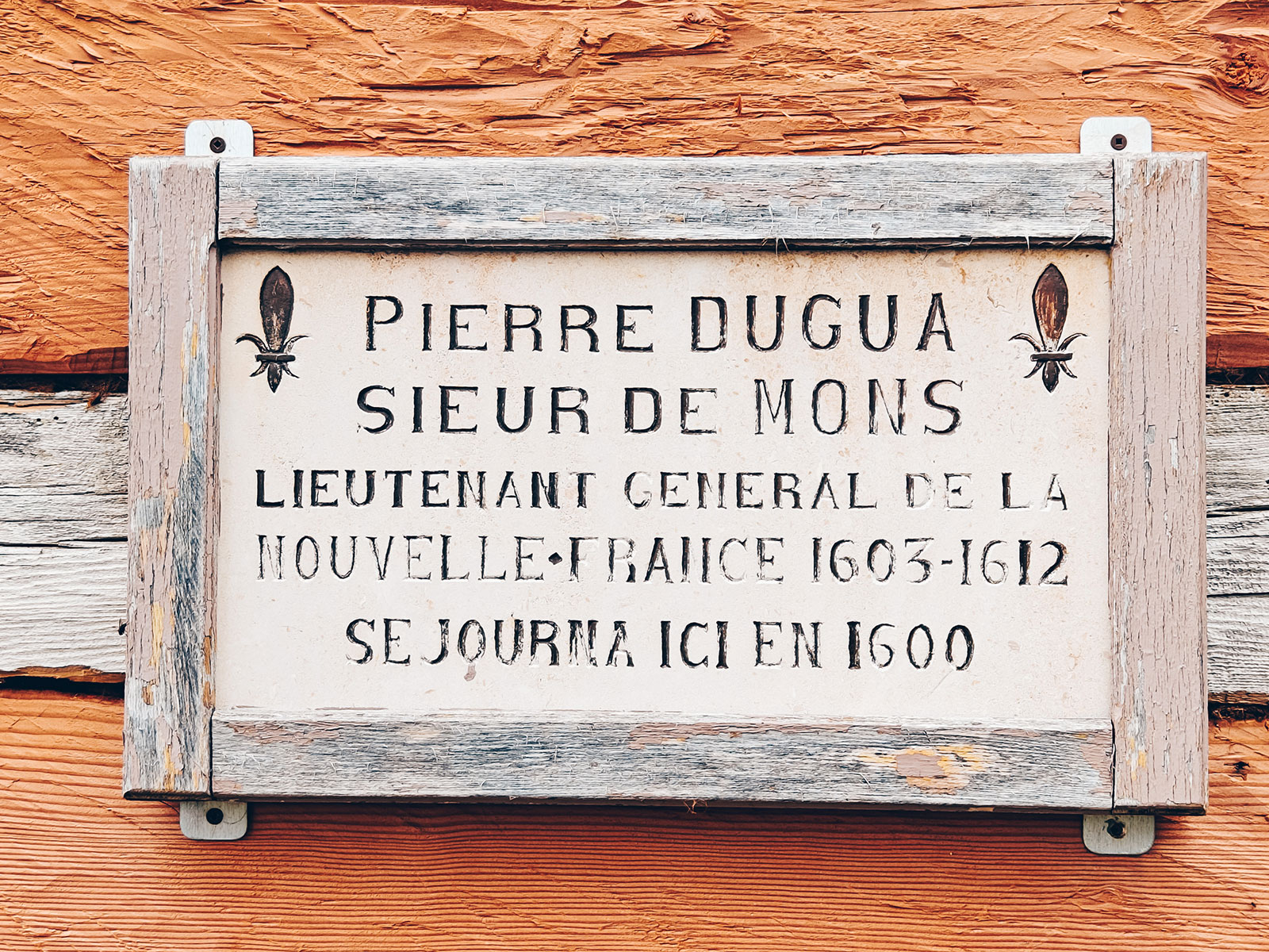
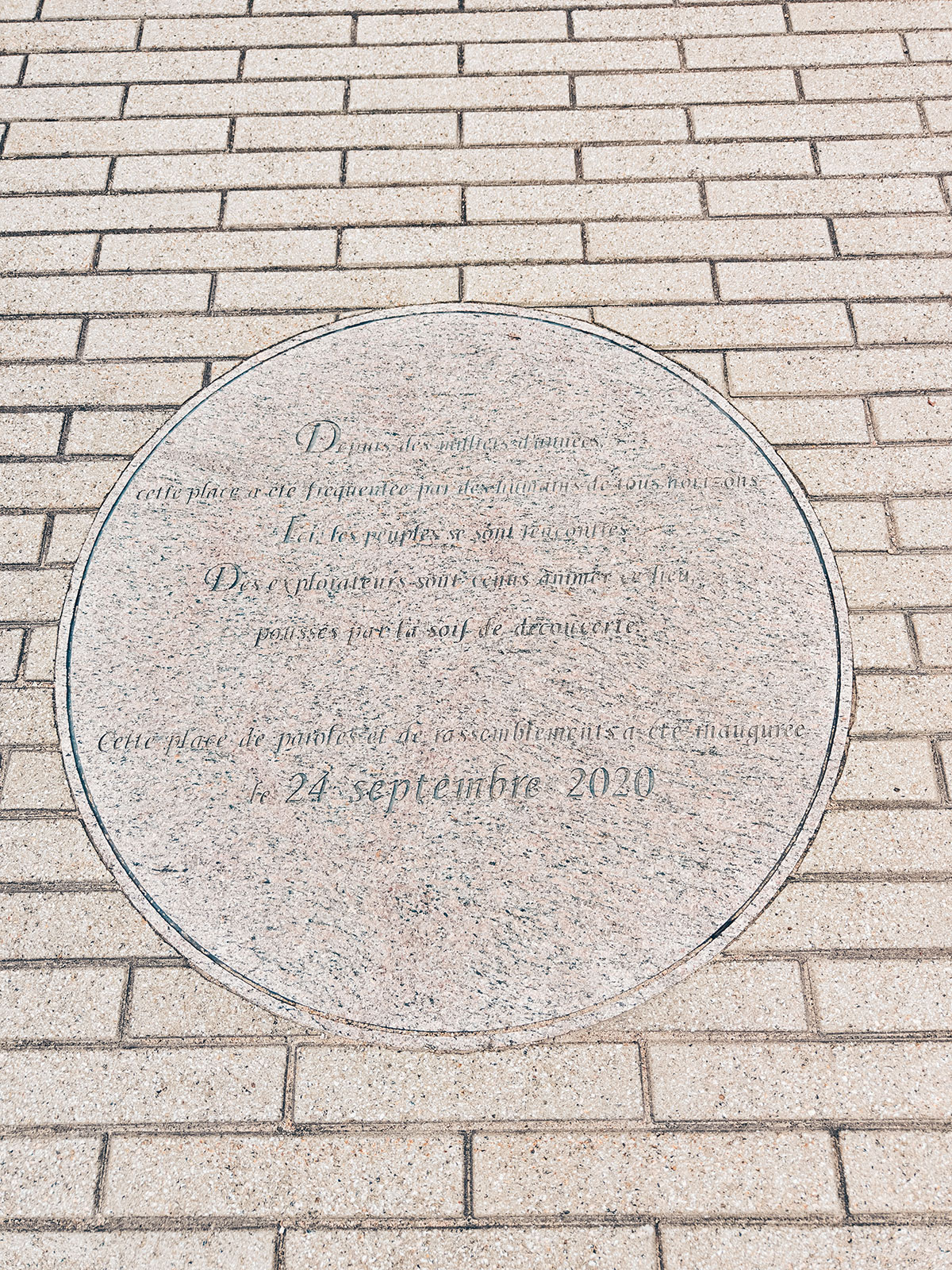
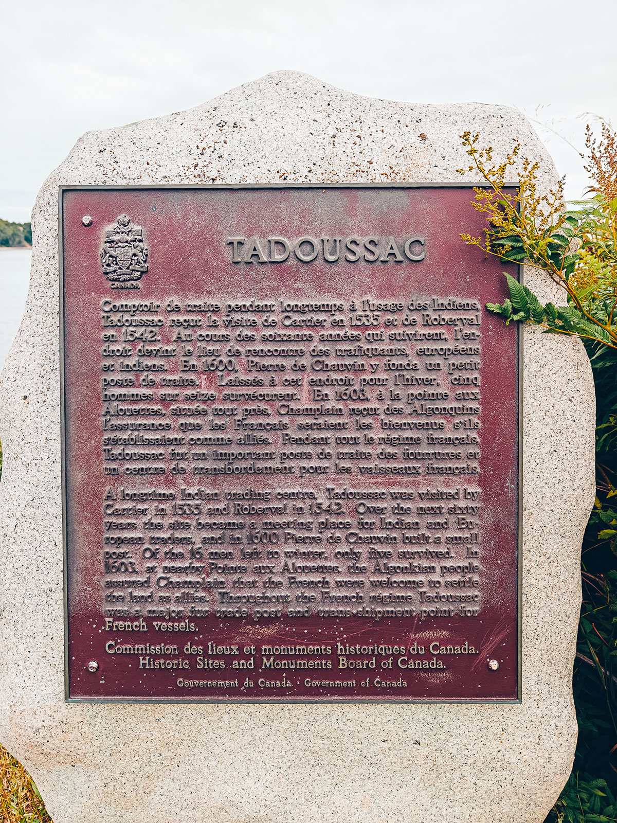
1600
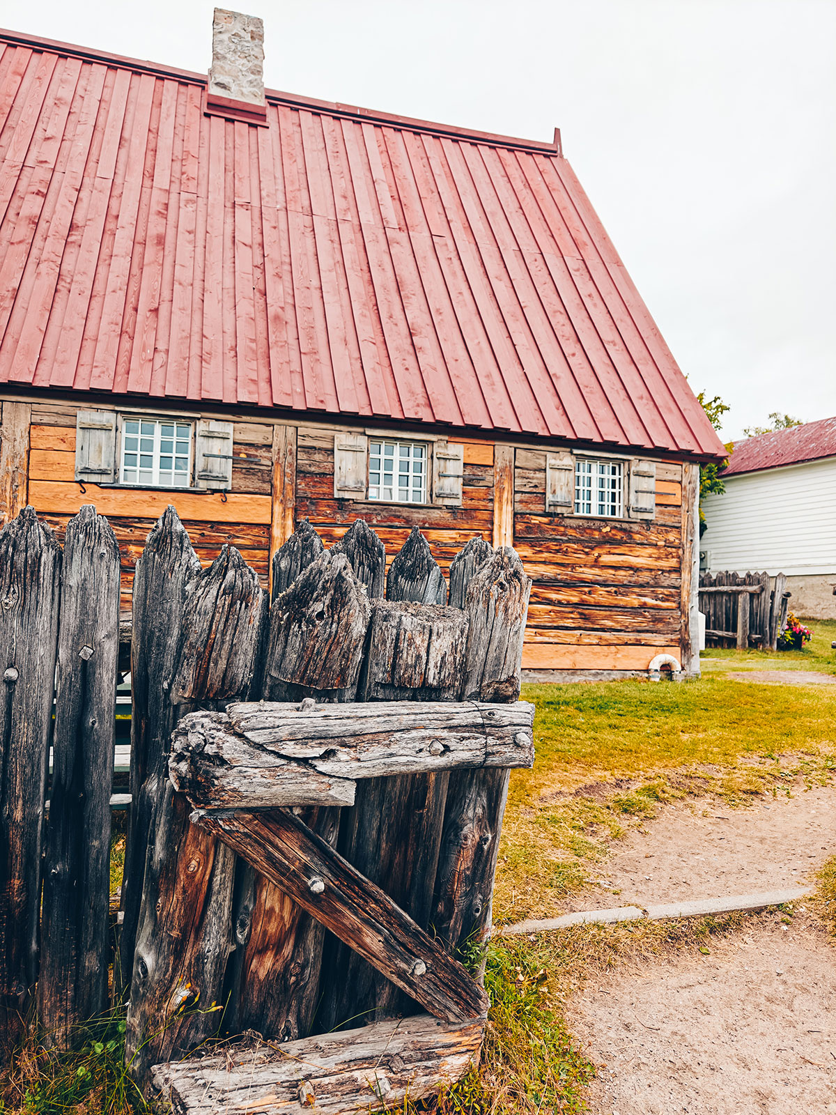
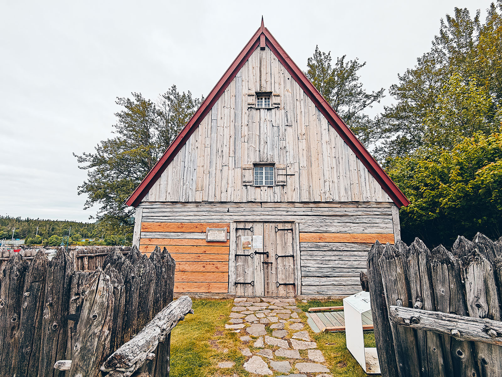
The first trading post in New France
Pierre Chauvin de Tonnetuit built it where the hotel now stands. What you visit is a faithful reconstruction — the original foundations were never confirmed.
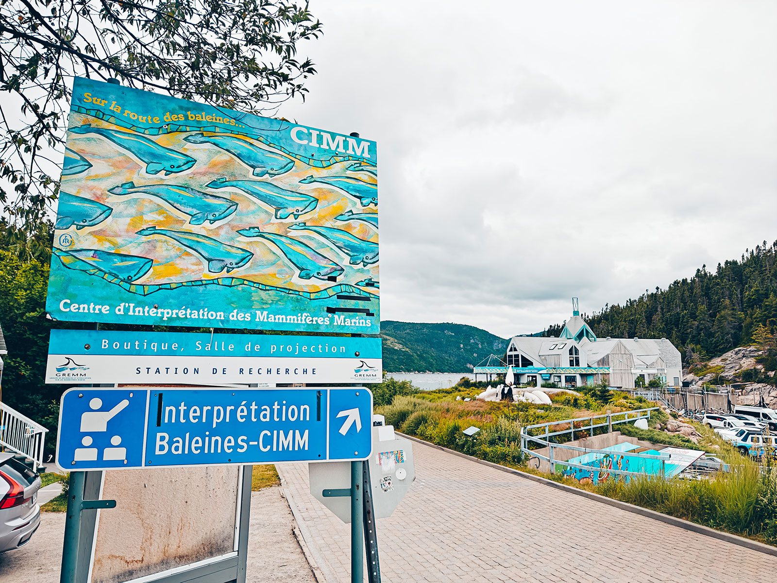
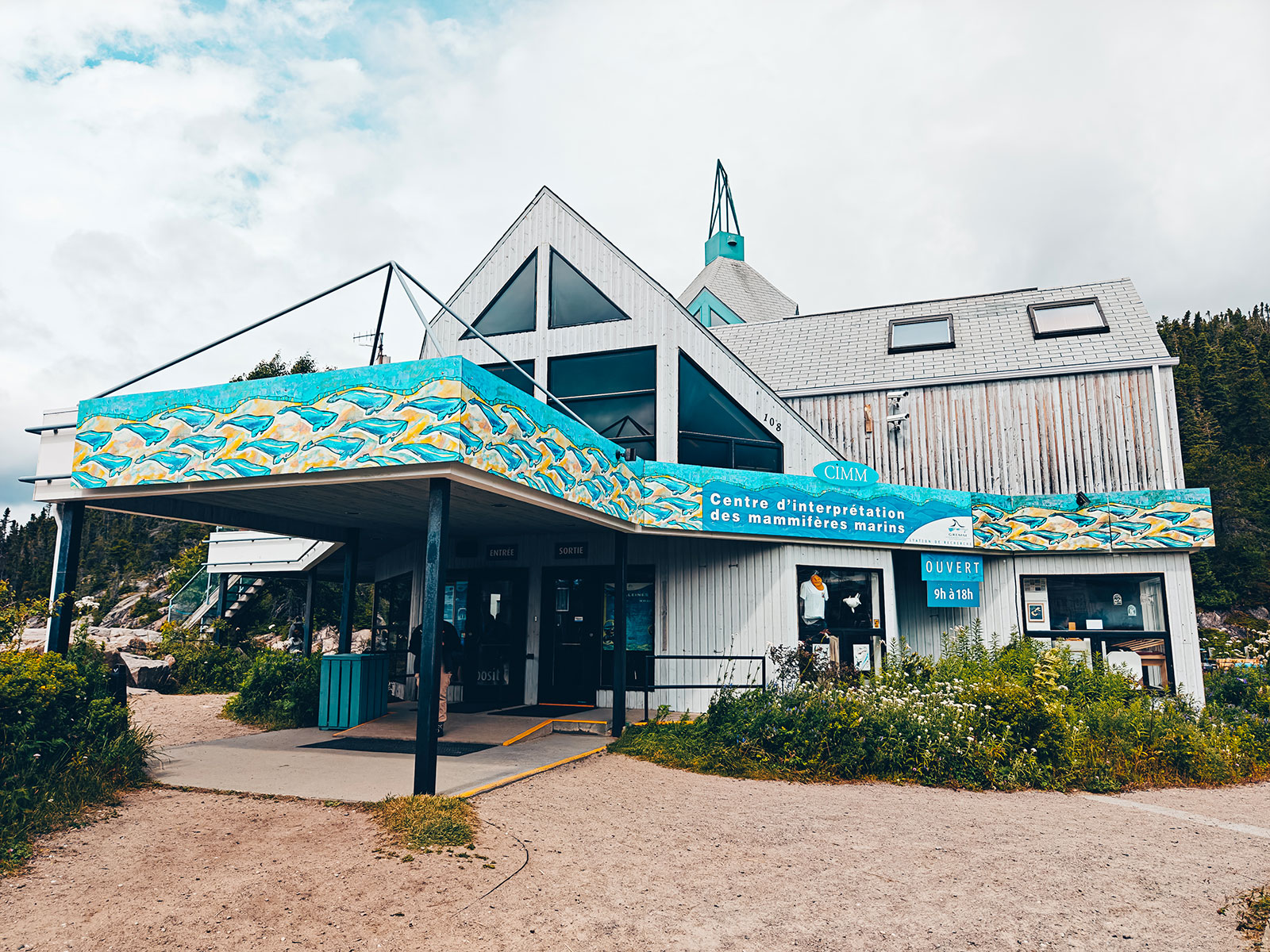
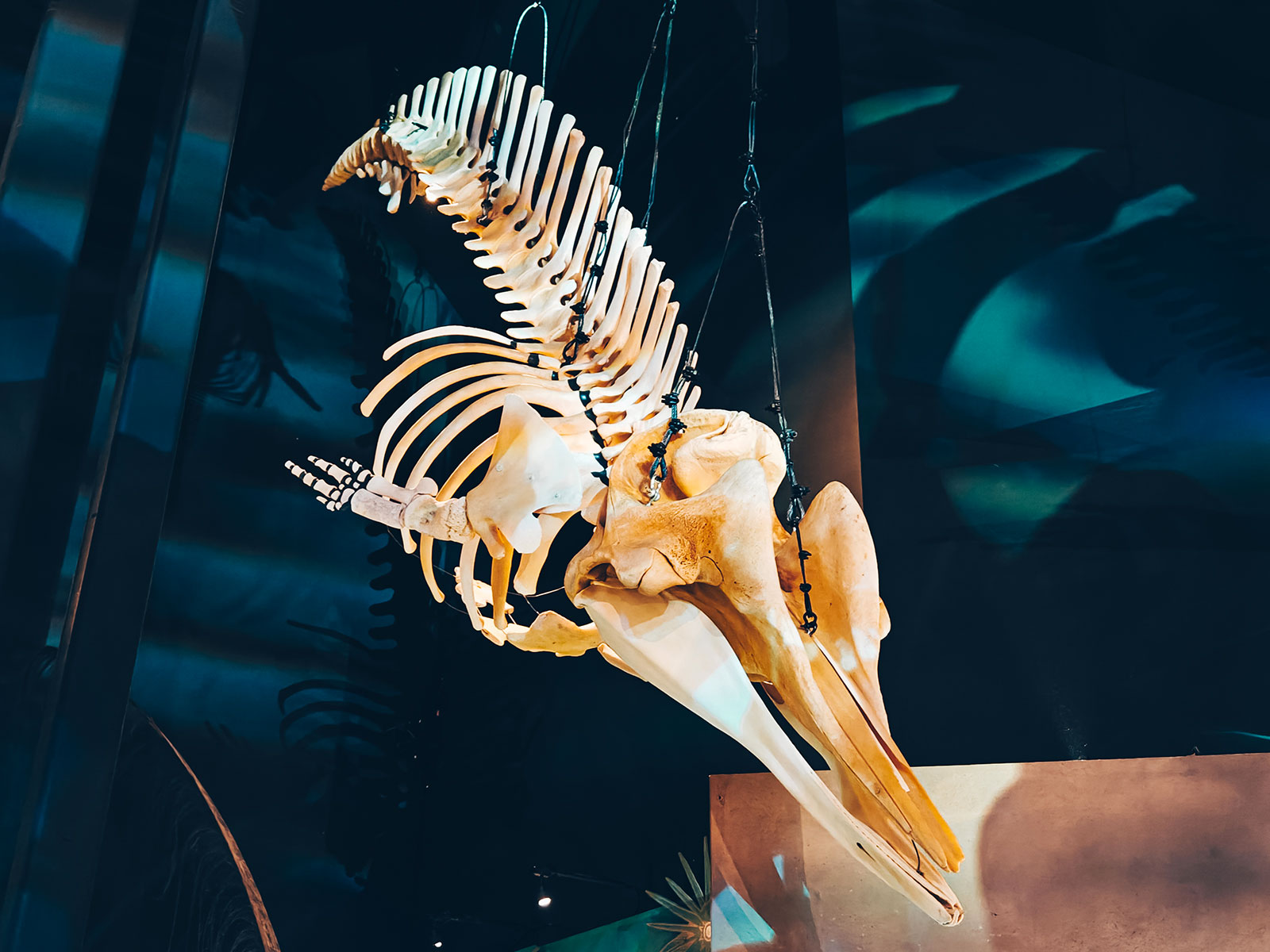
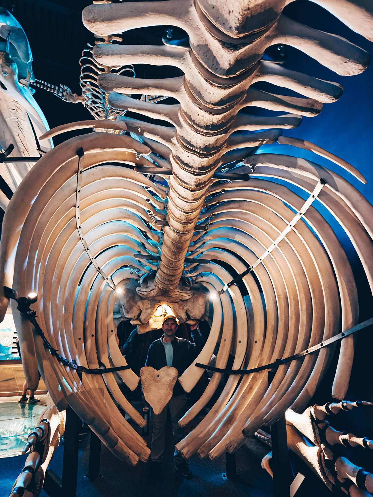
CIMM
Marine mammal interpretation centre
Opened in 1991 by the GREMM, it holds the largest collection of whale skeletons in Canada — including a 13 m sperm whale.
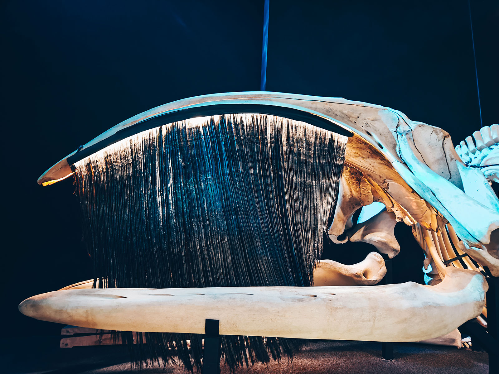
Baleen
Not teeth — a comb the animal strains its food through.
Why here
At the mouth of the Saguenay the bottom rises from over 300 m to less than 25 m. The cold, food-rich water is forced up with it — and the whales follow.
The beluga
The only whale that lives in the St. Lawrence year-round. Around 1,850 remain (2023 estimate), and the population is listed as endangered.
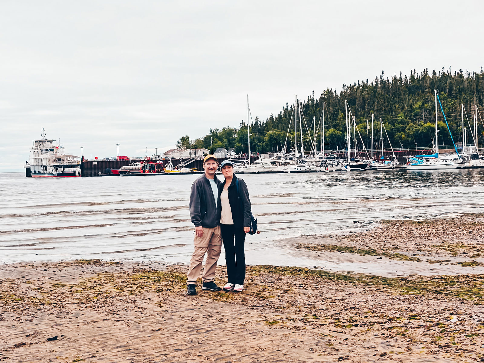
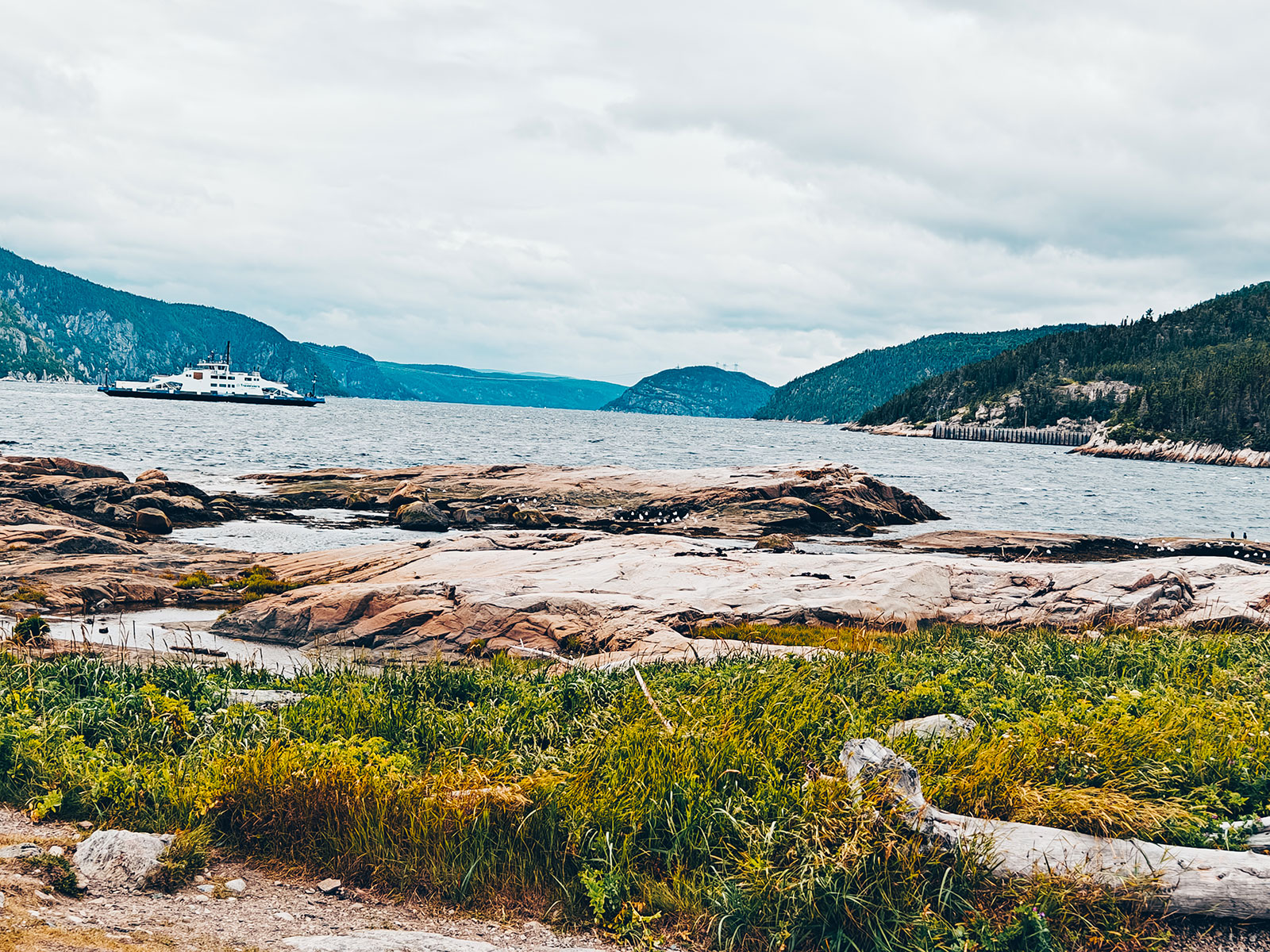
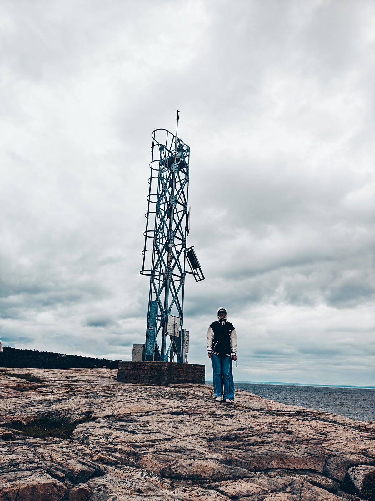
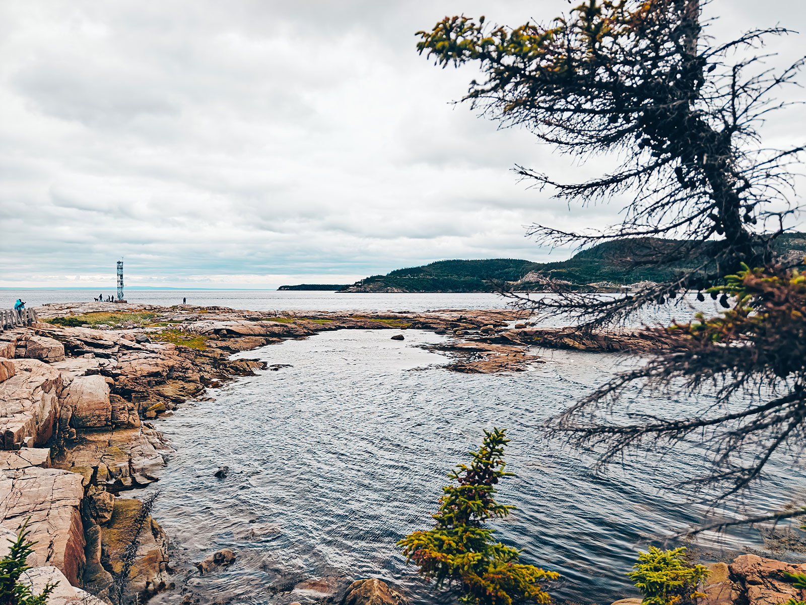
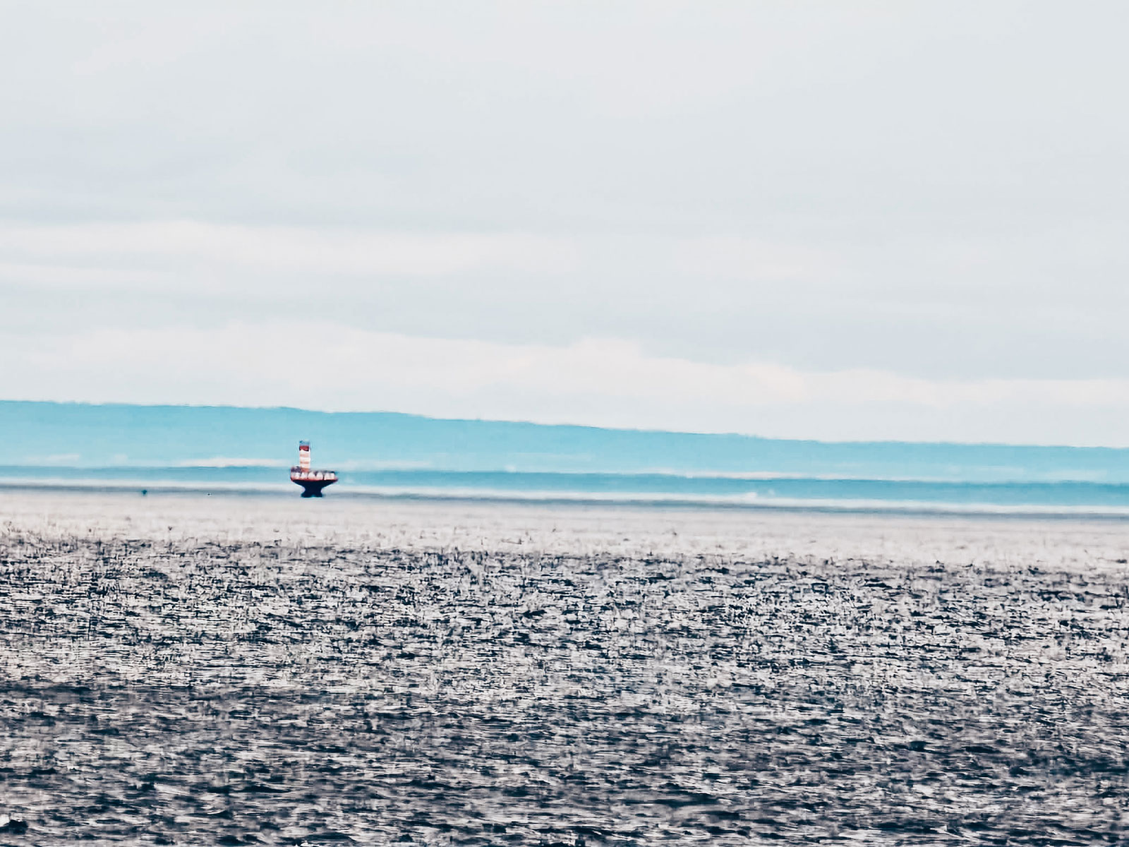
Pointe de l’Islet
A 1.3 km loop
Twenty minutes of walking from the quay, and one of the few places where you can watch for whales with your feet still on dry land.
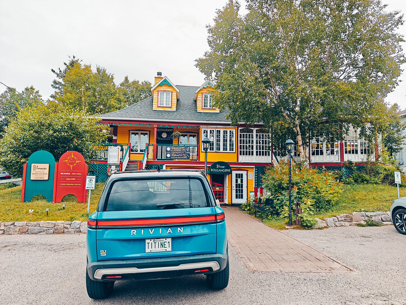
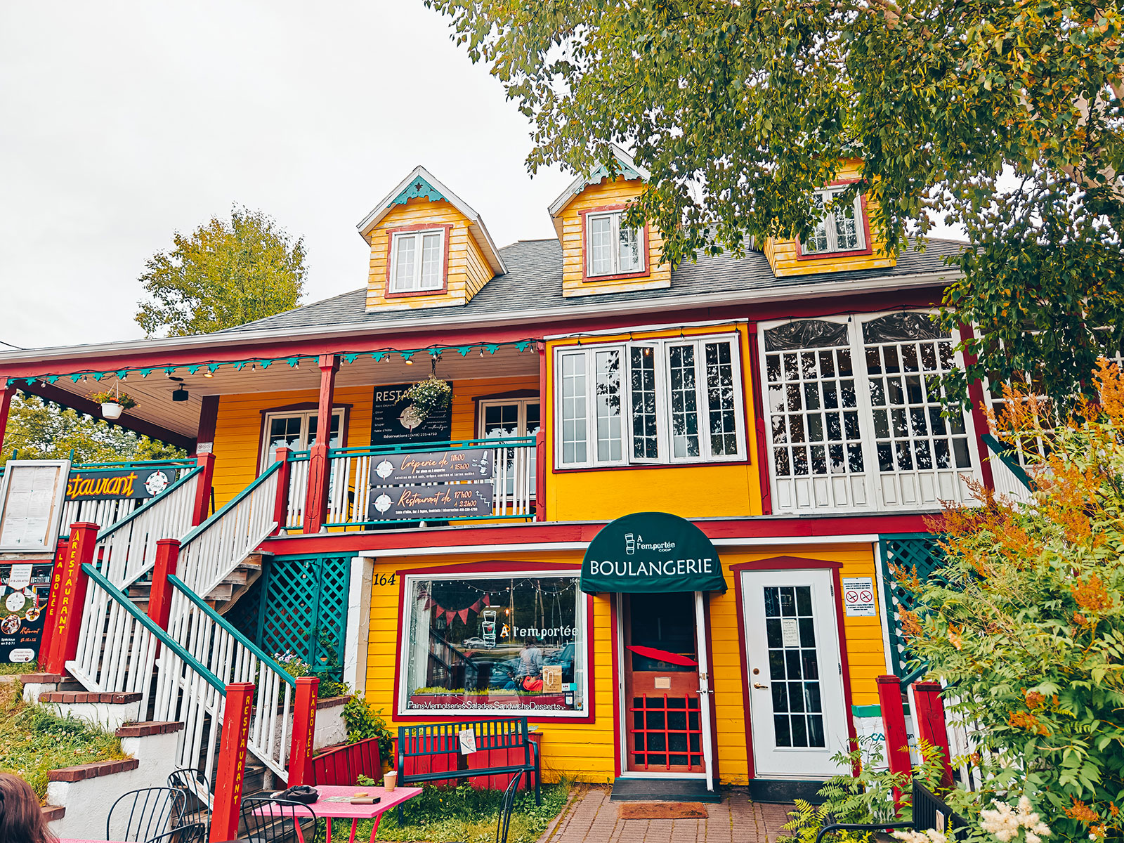
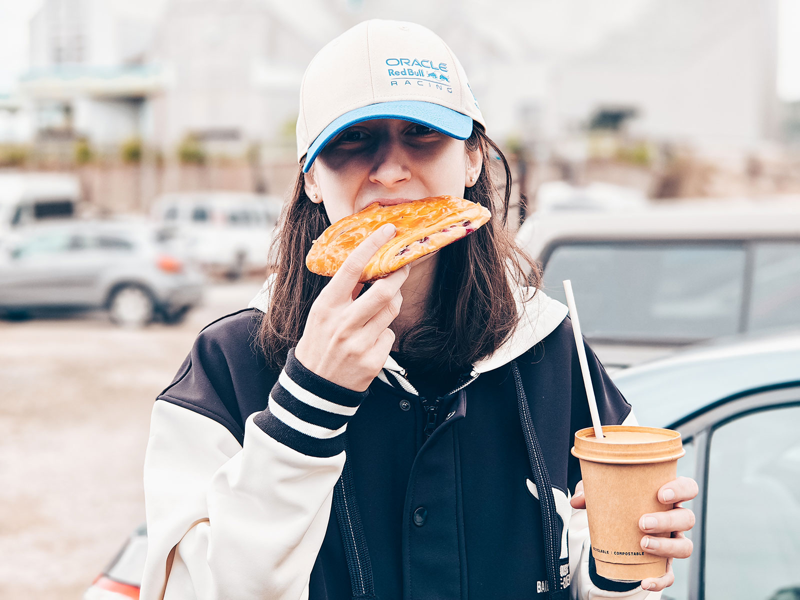
À l’Emportée
The bakery stop before pointing the car back towards Québec.
Tadoussac
814residents at the 2021 census.
The dairy at Petite-Rivière-Saint-François
Laiterie CharlevoixThe Canadienne
Le 1608, created in 2008 for Québec City’s 400th, was long made with milk from the Canadienne cow — the only dairy breed developed in North America, declared a heritage breed by Québec’s National Assembly in 1999.
The last herd left Charlevoix in the autumn of 2023. The cheese is made with Holstein milk now. Around 400 purebred females remain in Québec.
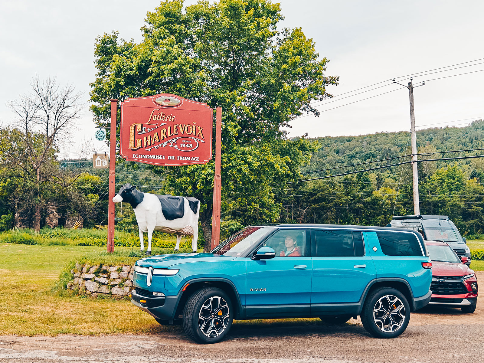
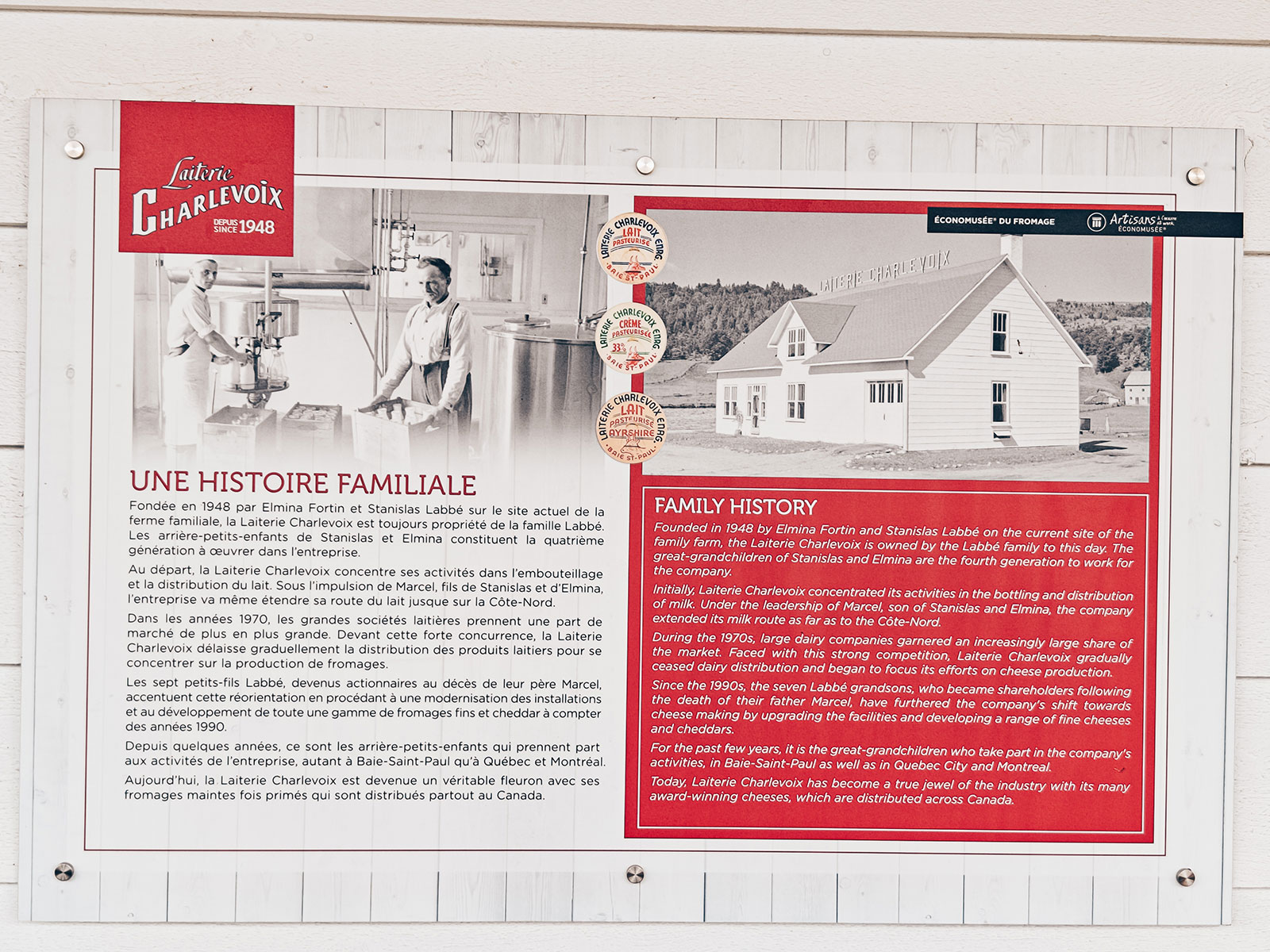
Back across on the ferry and down the north shore, we stopped at the Laiterie Charlevoix — a dairy that has been in the same family since 1948 and now makes some of the best-known cheeses in Québec.
Since 1948
Founded by Stanislas Labbé and Elmina Fortin. The fourth generation runs it now.
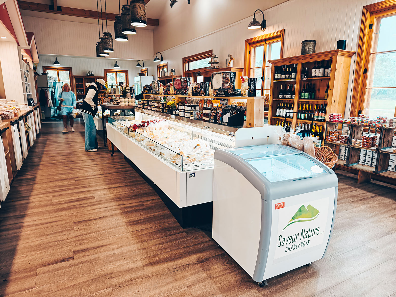
What they make
Cheddars, and the three that made their name: Hercule, Le 1608 and Le Fleurmier.
There is a cheese economuseum on site — you can watch the make and see the ageing room.
The Hercule
The cheese is named after Jean-Baptiste Grenon, "the Hercules of the North", born in 1724 and married right here, at Petite-Rivière-Saint-François, in 1748.
Legend has him wrestling a bear bare-handed and standing in for his own horse to climb the hills of Baie-Saint-Paul. His cheese wheel, for its part, weighs twelve kilos.
Baie-Saint-Paul
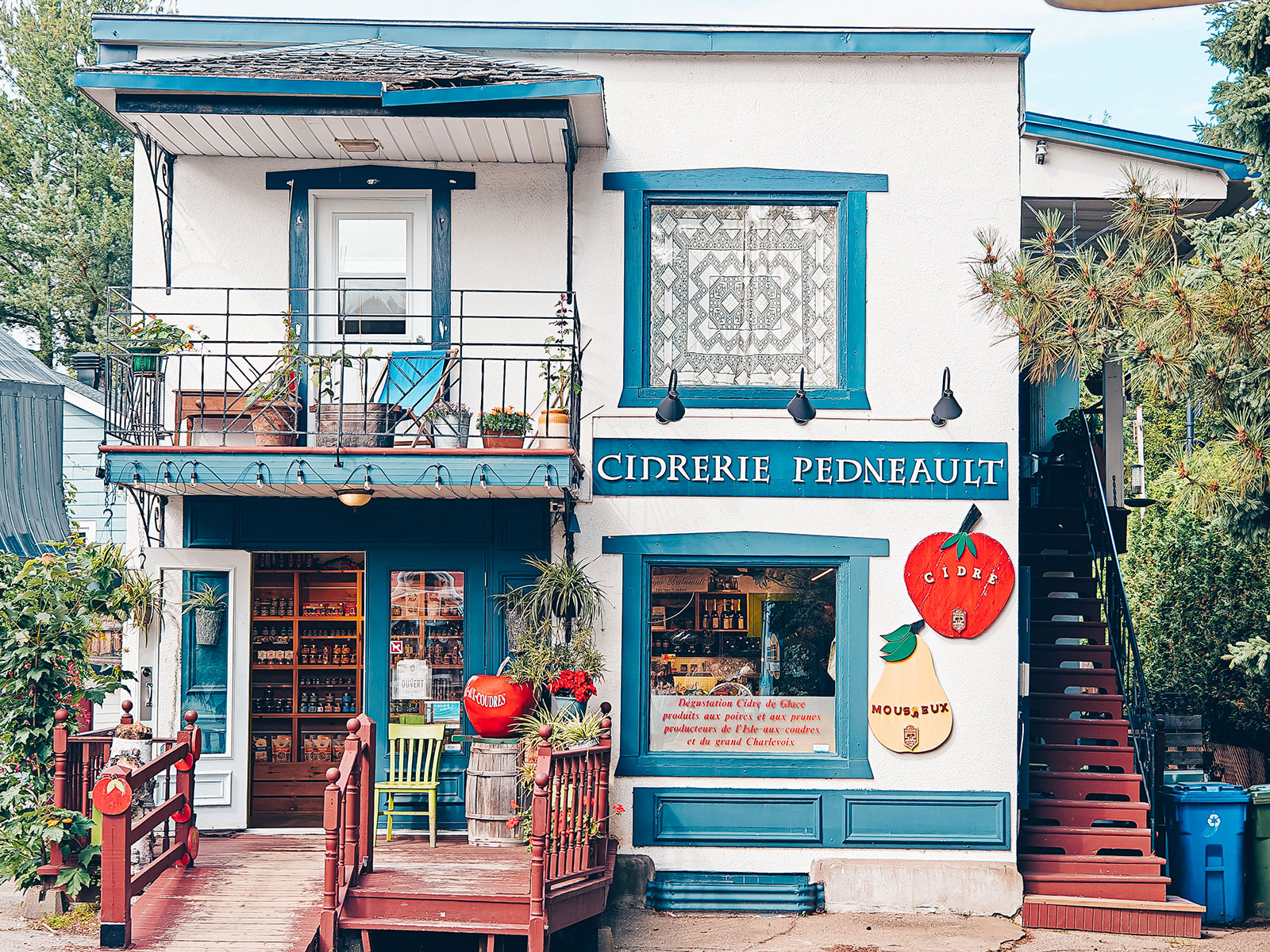
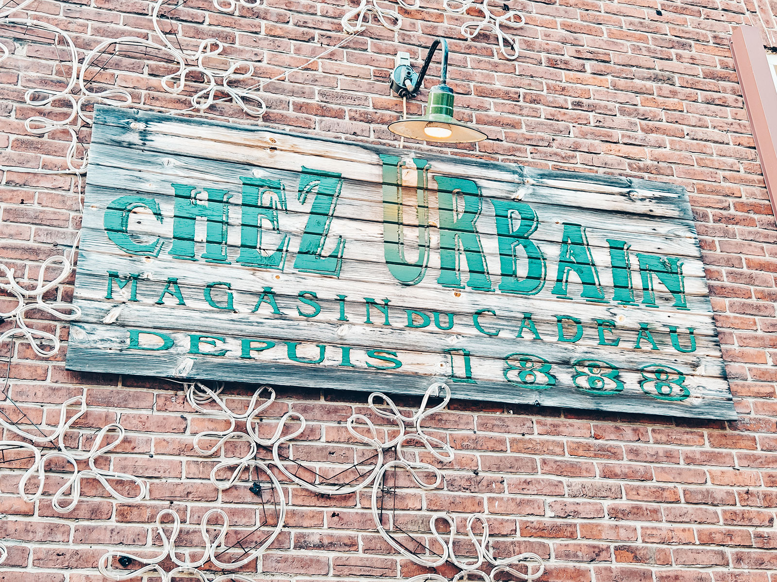
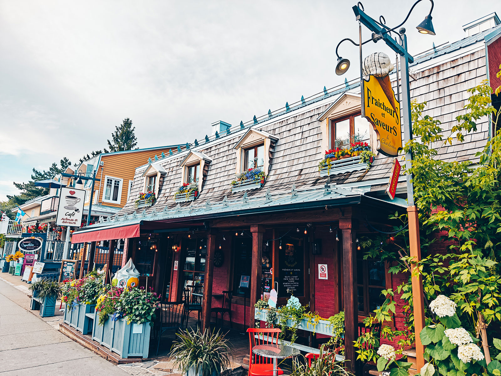
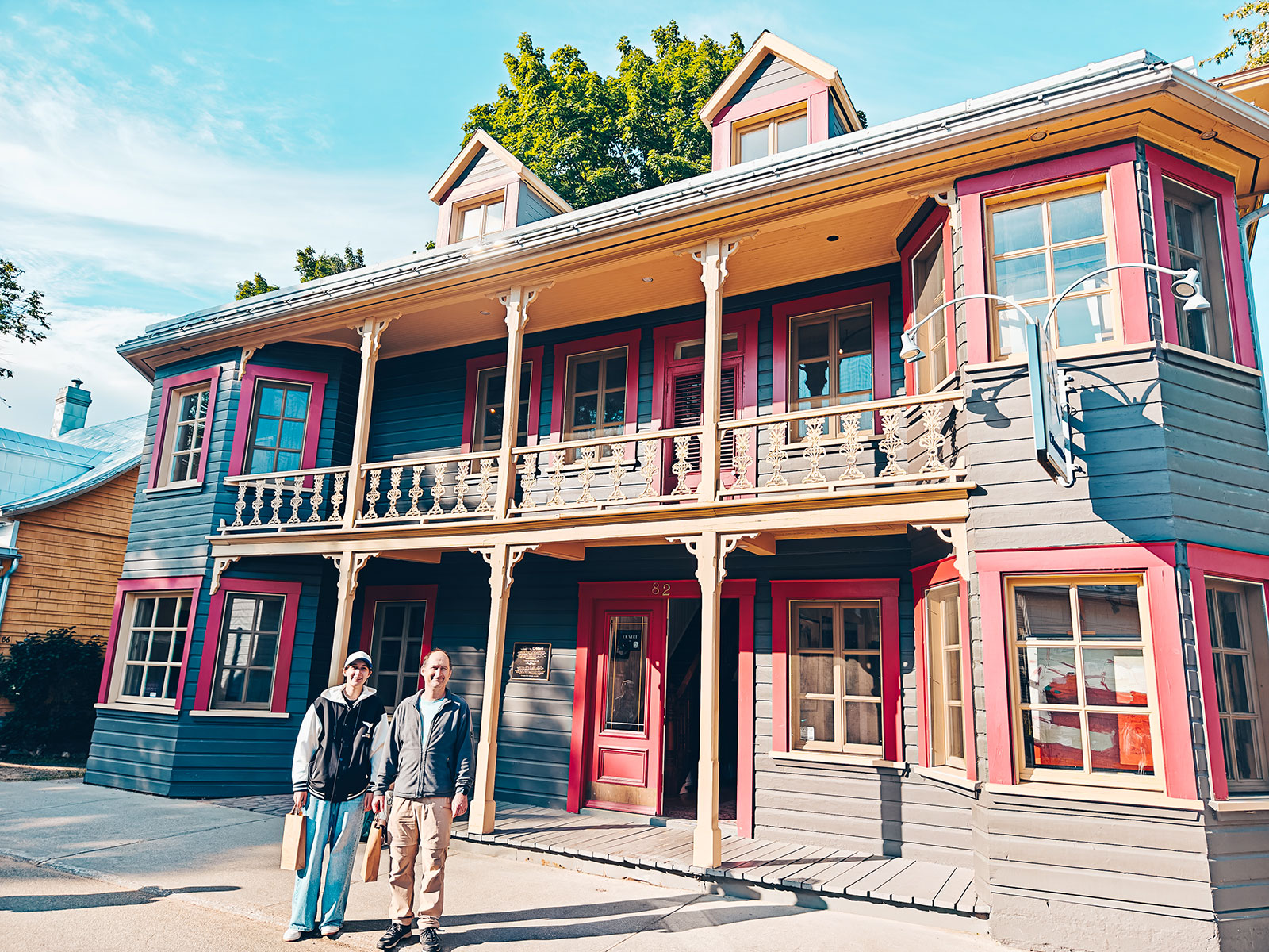
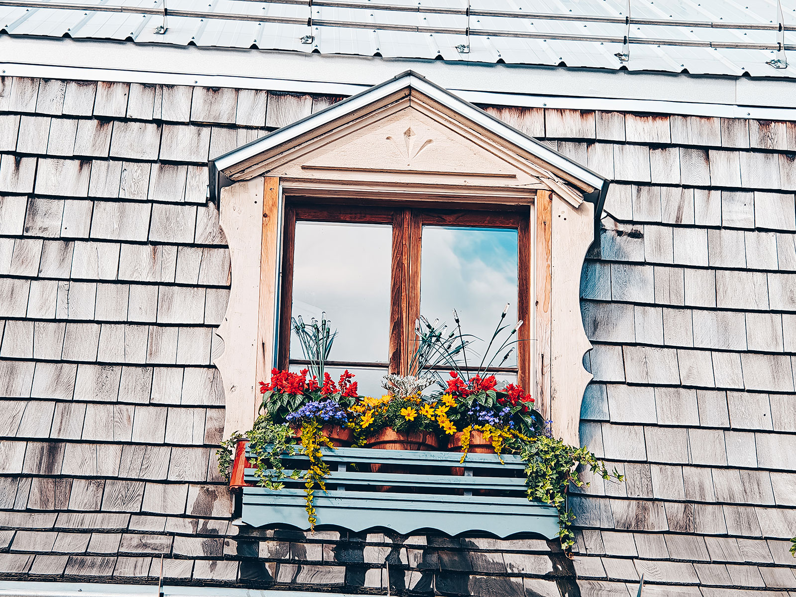
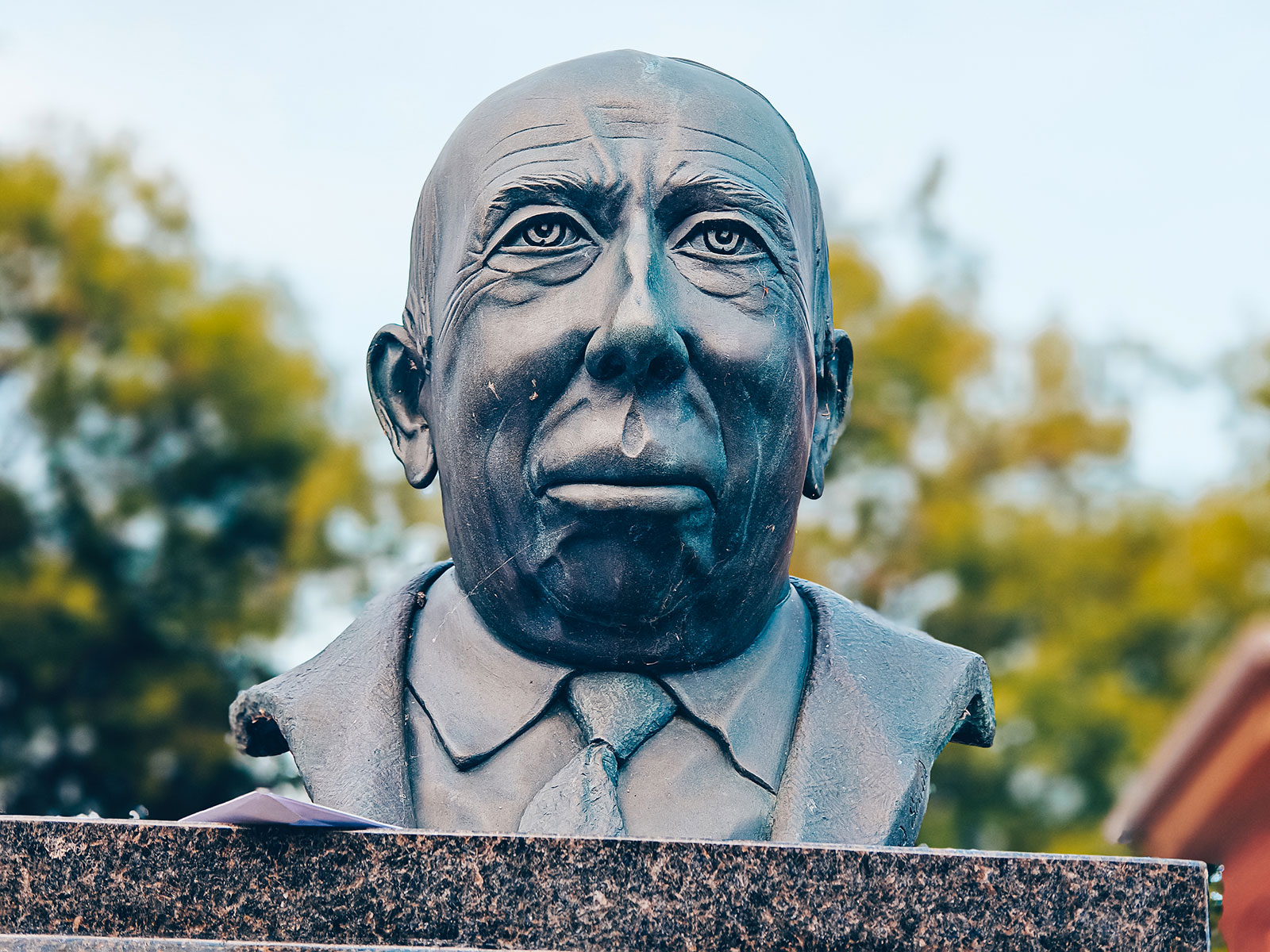
Lunch in the craterLunch was in Baie-Saint-Paul, in the bottom of a valley that is also the bottom of a crater. We wandered the streets, looked at the galleries, tasted mead, and ate very well indeed.
A painters' town
since the 1860sClarence Gagnon, A. Y. Jackson, Jean-Paul Lemieux and René Richard all worked here.
The symposium
1982Founded by Françoise Labbé, it brings artists together each year to paint in public, on site.
The museum
The Musée d’art contemporain de Baie-Saint-Paul was granted museum status in 2008. The town bills itself as having the most art galleries in Canada.
Art Gallery
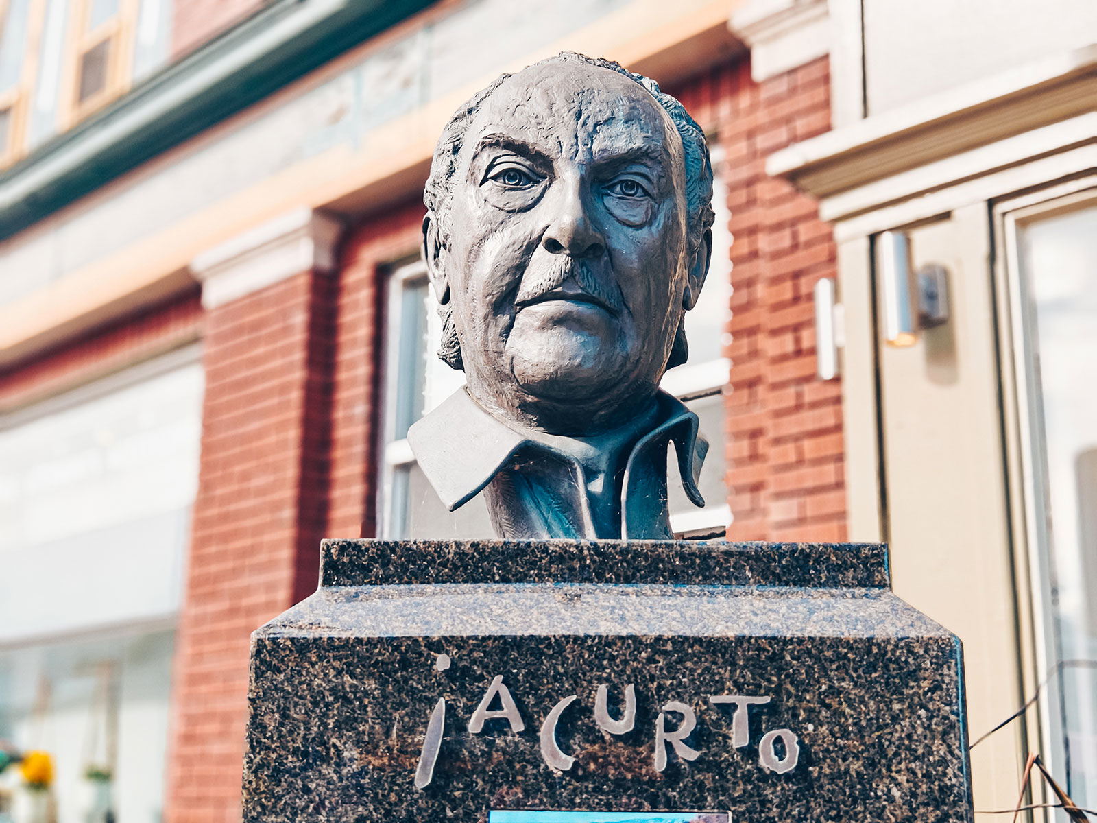
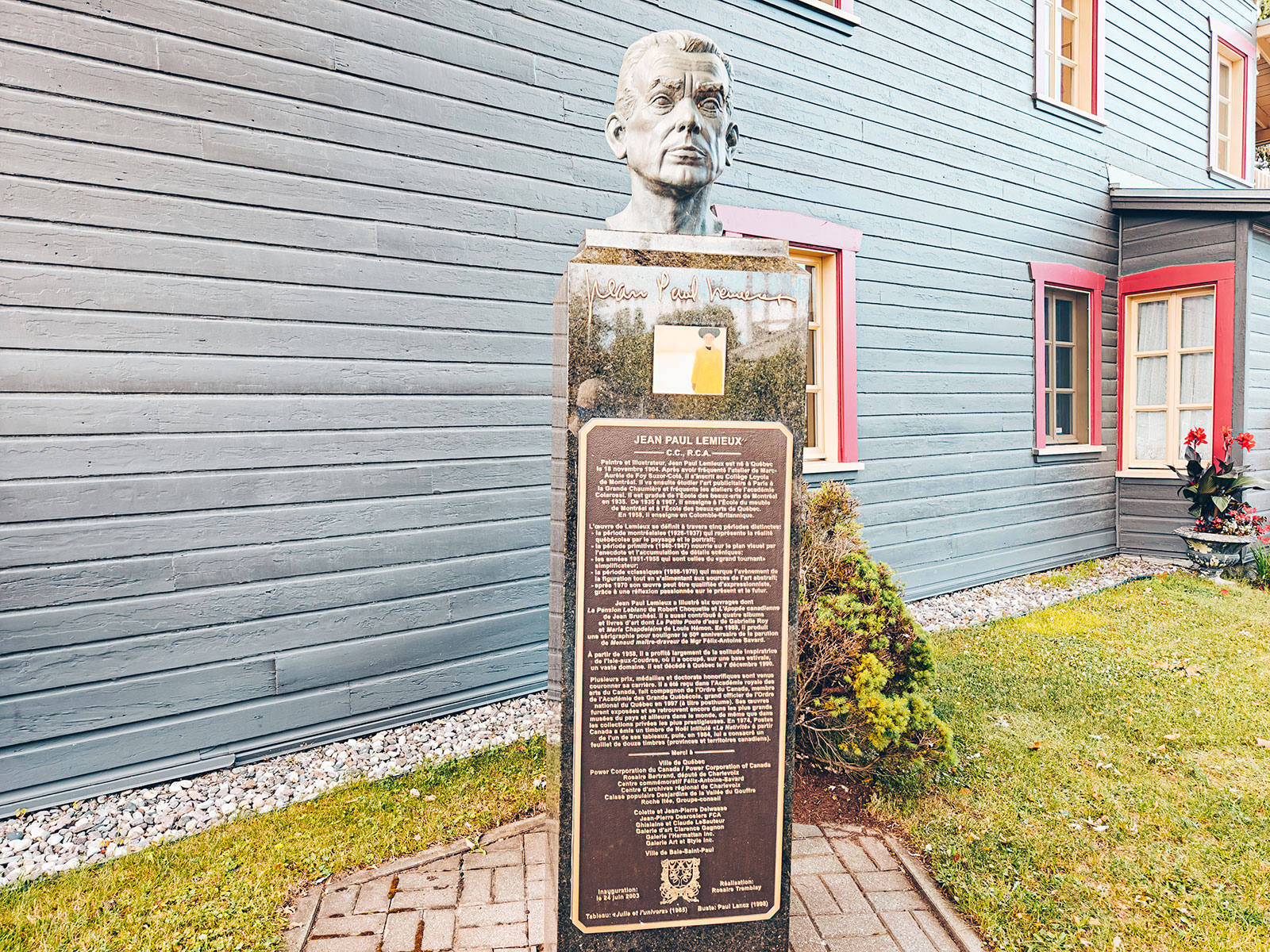
The crater
About 450 million years old
The whole valley sits inside a meteorite impact structure roughly 54 km across. Its central peak is the mont des Éboulements, 768 m, out to the east.
Baie-Saint-Paul
7,371residents at the 2021 census.
All of Charlevoix has been a UNESCO Biosphere Reserve since 1988.
Between a river and mountains
The village sits in a narrow valley at the mouth of the rivière du Gouffre: the river on one side, the mountains on the other — and those mountains are the rim of the crater.
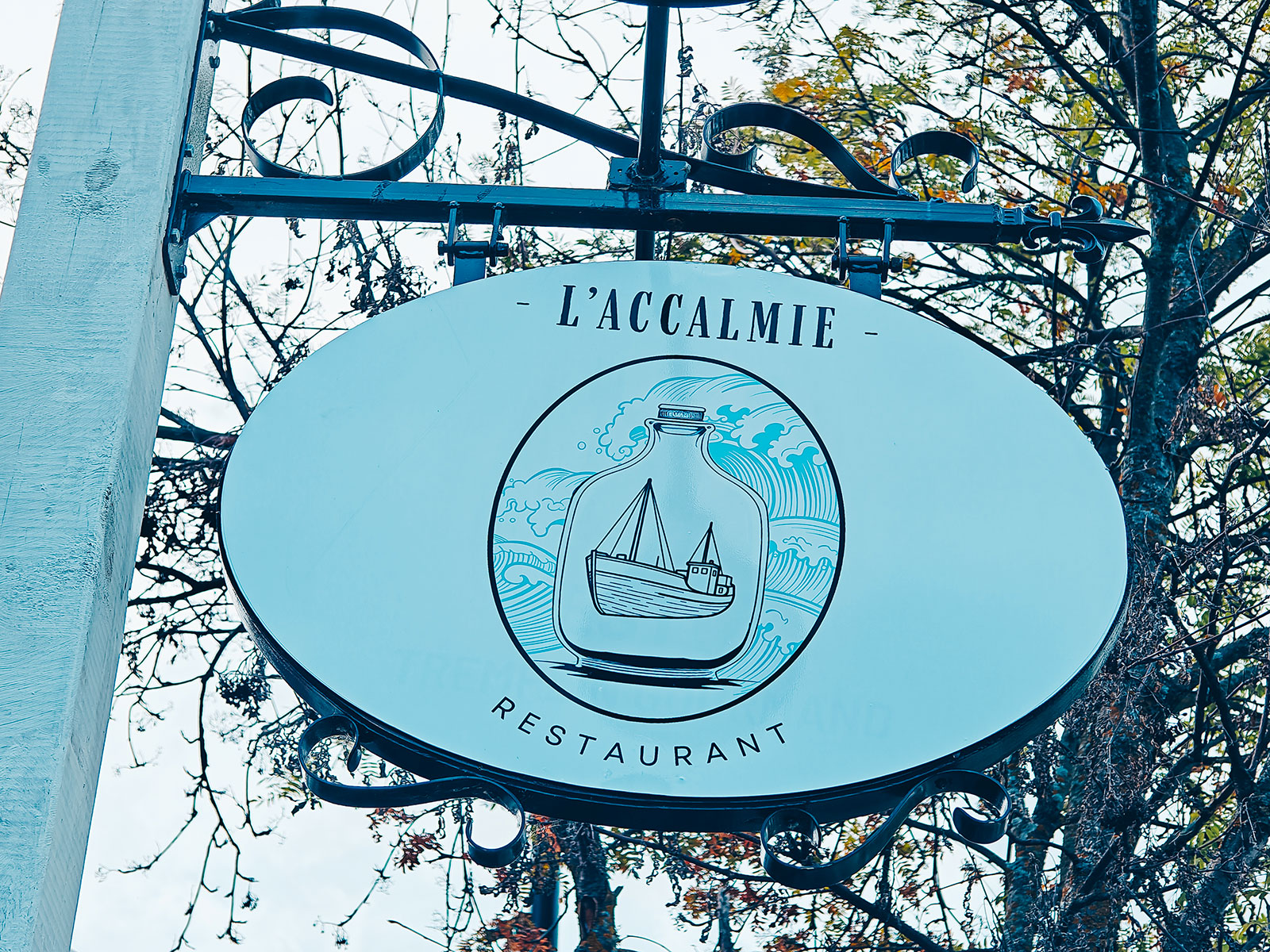
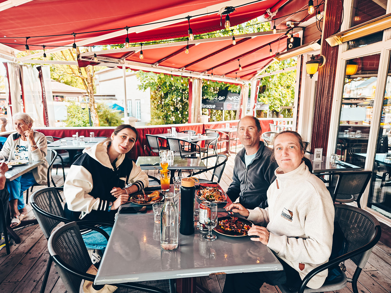
On the trail
Québec’s first agrotourism trail, born in the mid-1990s. The Laiterie Charlevoix is on it.
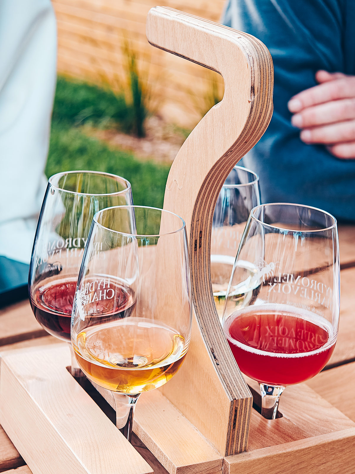
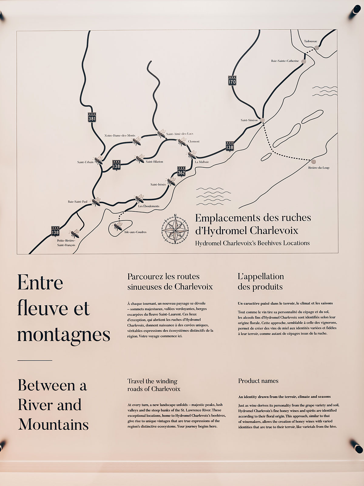
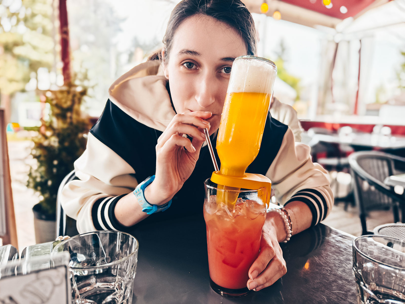
Hydromel
Made in town from the hives of Charlevoix — the region's first meadery, open since 2021.
One more thing
The street performers who became the Cirque du Soleil started out here, in 1980. The company itself was founded four years later.
and back on the road
Québec City left to go, then the 20, then home.
The way home
Villeroy · 4th chargeIn Tadoussac, the white houses with their coloured roofs still cling to the hillside. A few hours later, Baie-Saint-Paul welcomed us with its art galleries and that very particular light.
"The Rivian carried on in an almost unreal silence."
Circuit électrique
Villeroy rest area, Québec
The tally
4 charging stops
1 hr 56 min of charging in all
2 days on the road
11 stops
Back home.
"The dam was only ever an excuse."
The real journey was in everything between those stops, between the river and the forest, between the villages and the wide open spaces.
The immensity of what we're lucky enough to call home.
Back home
2days on the road, and the river from start to finish.
One last plug-in at Villeroy.
km 0
Back where we started.